| Area: | Arnside & Silverdale | Ascent: | 370feet |
| Walk No: | 535 | Time: | 3hours 15minutes |
| Date: | 3rd May 2011 | Parking: | Crag Foot |
| Distance: | 6.25miles | Weather: | Fine & Sunny, moderate breeze. |
For those of you that are thinking of going onto the hills I would strongly recommend that you read the advice given by the Mountain Rescue organisation of England and Wales. To read this advice, which will open in a new page please click HERE. If you would like to make a donation to the Mountain Rescue organisation which is purely voluntary please click HERE. Please make the time to read the advice page.
---------------------------------------------------------------
I was by myself today and the plan had been for a bit of a walk somewhere in the Dales. However plans changed when I needed to be home for around 13:30hrs and I ended up doing this little tour around South Silverdale.
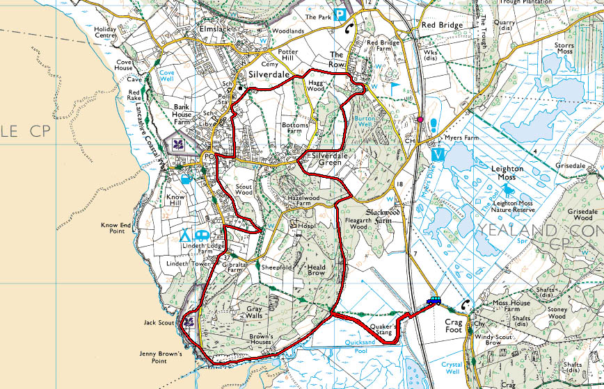
Route map
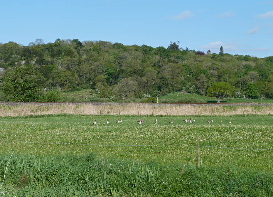
I left the car near Crag Foot and walked down the lane to pick up the causeway path to Jenny Brown's Point. Just as I was taking this picture of Heald Brow something startled the Greylag Geese....
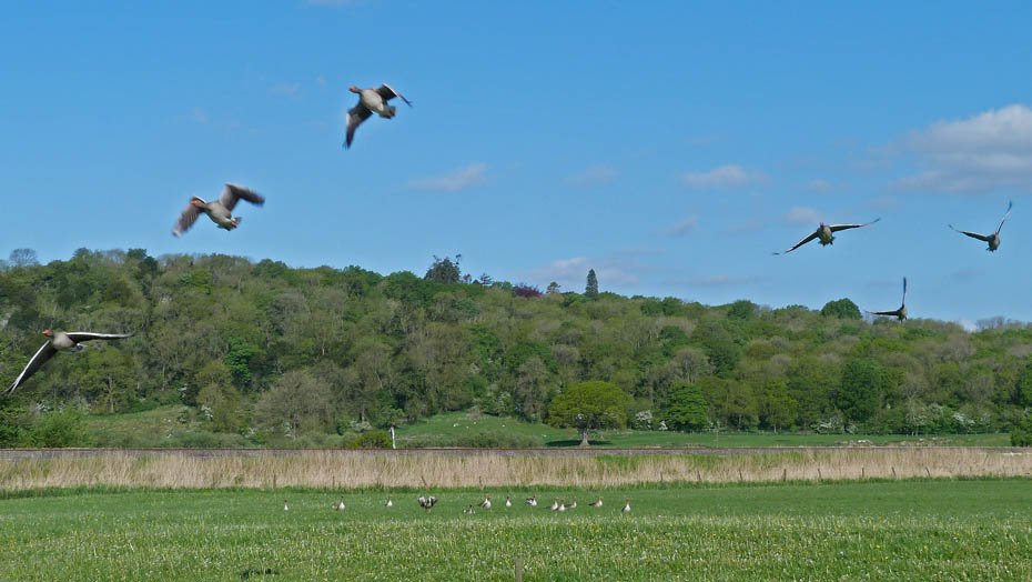
.....which gave me the chance of an Arial display.
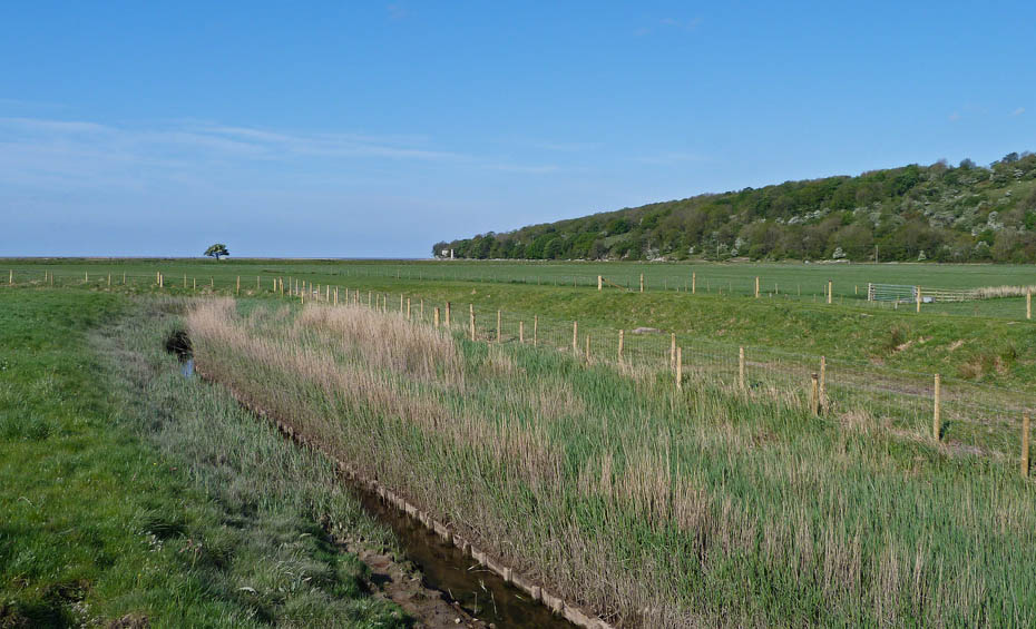
Looking towards Jenny Brown's Point from the bridge over the outfall from Leighton Moss.
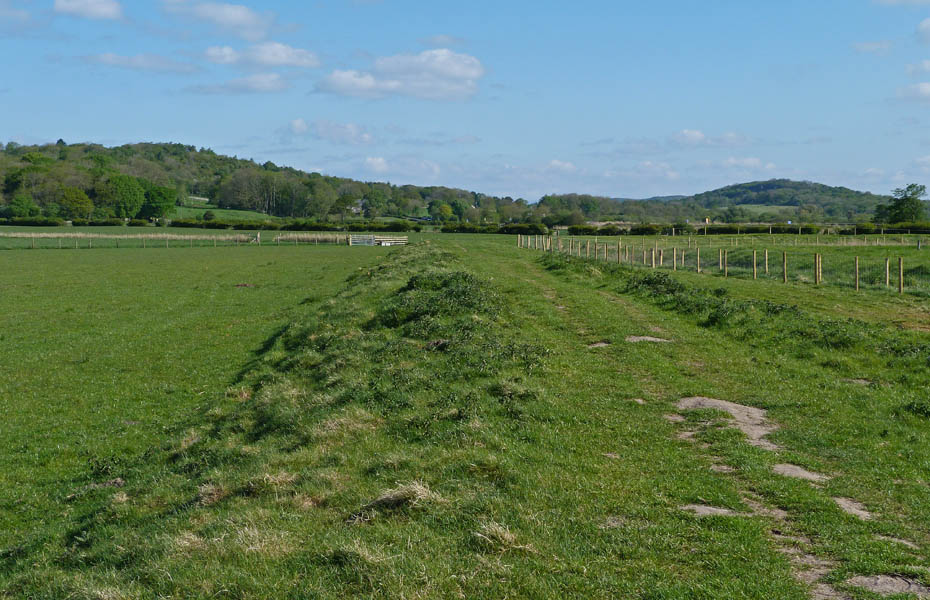
It's another glorious morning although there is a bit of a breeze.
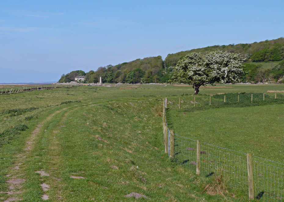
I followed the causeway around towards Heald Brow.
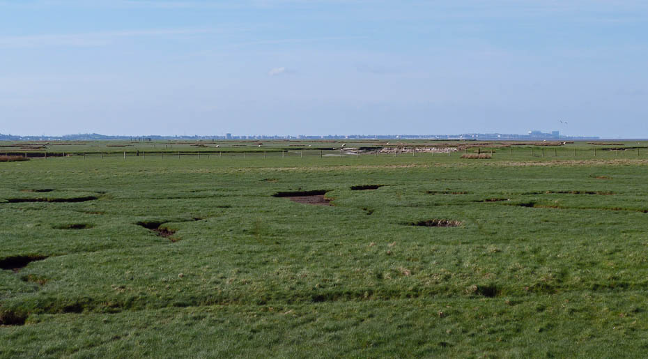
A look over the salt marsh area known as Quicksand Pool towards Morecambe.
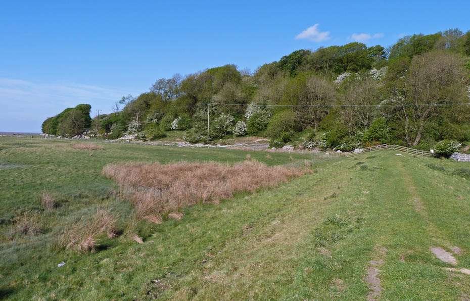
I'm almost at the end of the causeway now where I will go left along the shore.
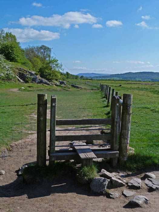
A look back to a distant Farleton Knott
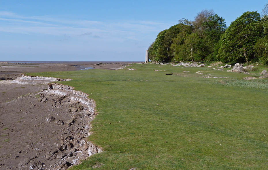
The salt marsh gets smaller all the time. The tides are low at present and the salt is drying out at the edges.
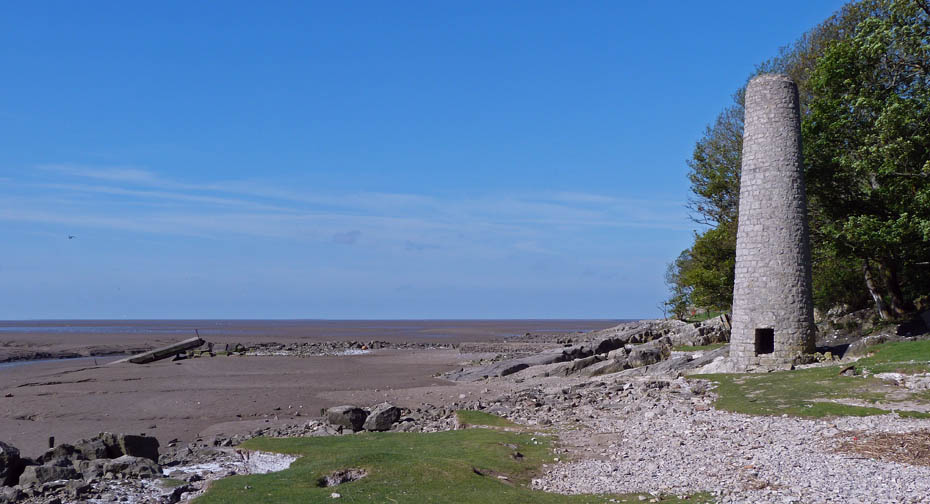
The old chimney.
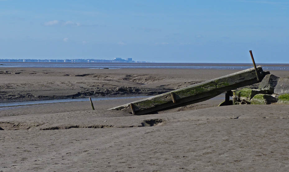
The old bridge across the channel fell into the channel many moons ago.
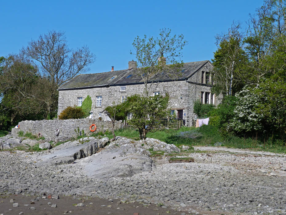
Brown's Cottages.
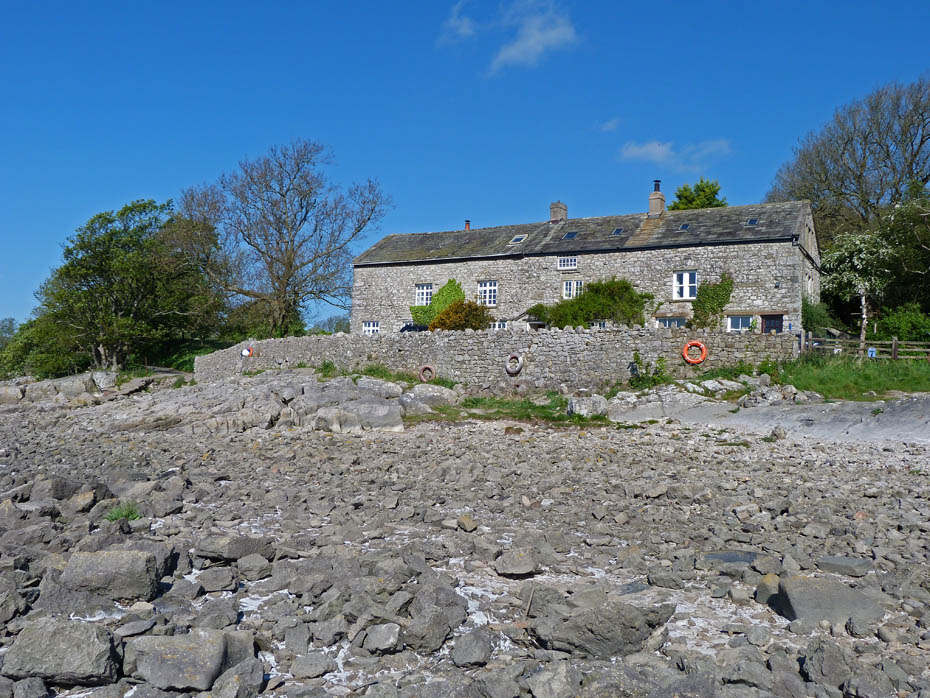
A clearer view. Here I left the shore to take the lane to the left of the cottages.
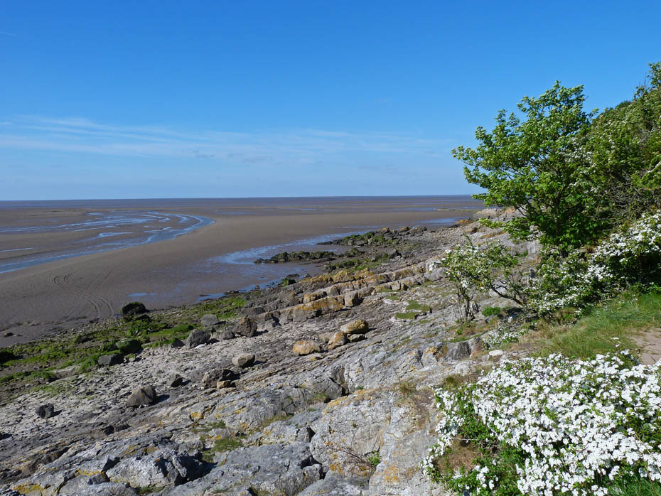
The sands of Morecambe Bay. Very popular with the Cross Bay walkers but very dangerous.
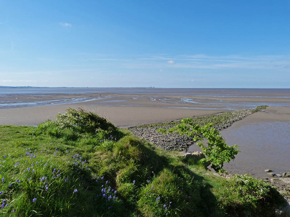
Looking down the bay towards home as I enter the National Trust's Jack Scout.
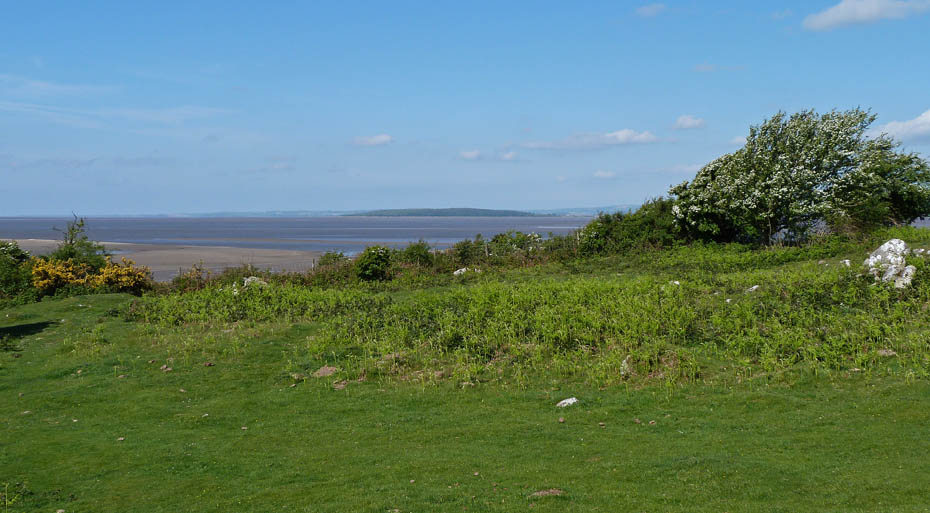
Jack Scout is a wonderful small reserve. I decided to walk down to the edge here with a view to Humphrey Head.
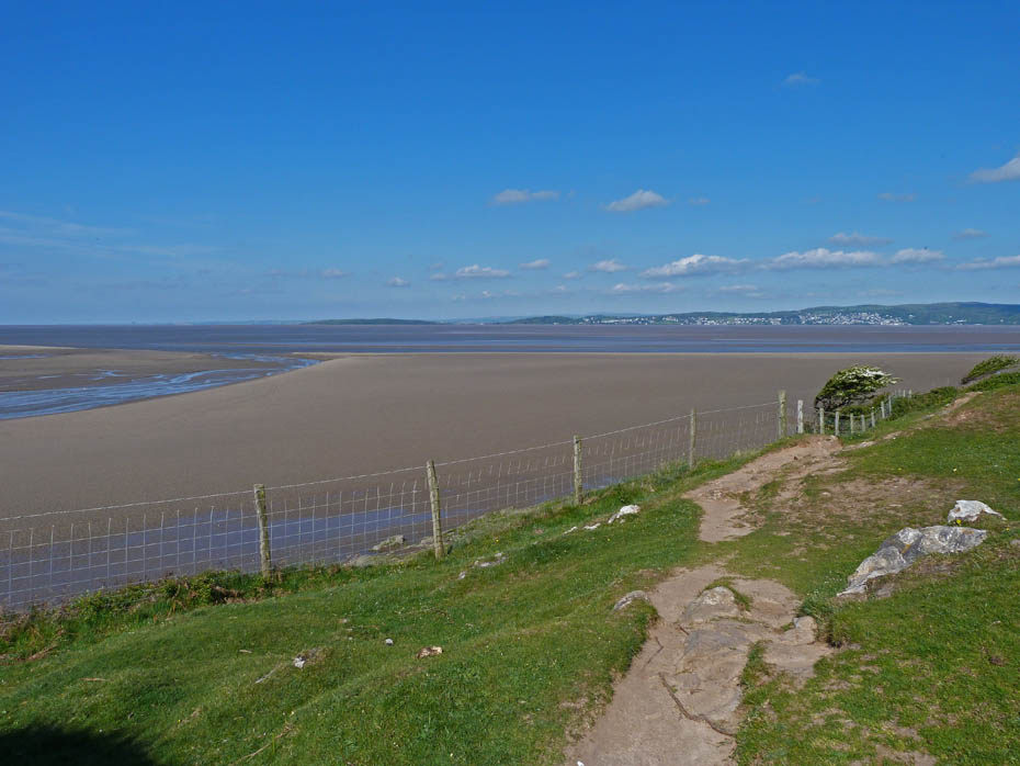
Humphrey Head, Grange & Hampsfell across the Kent estuary.
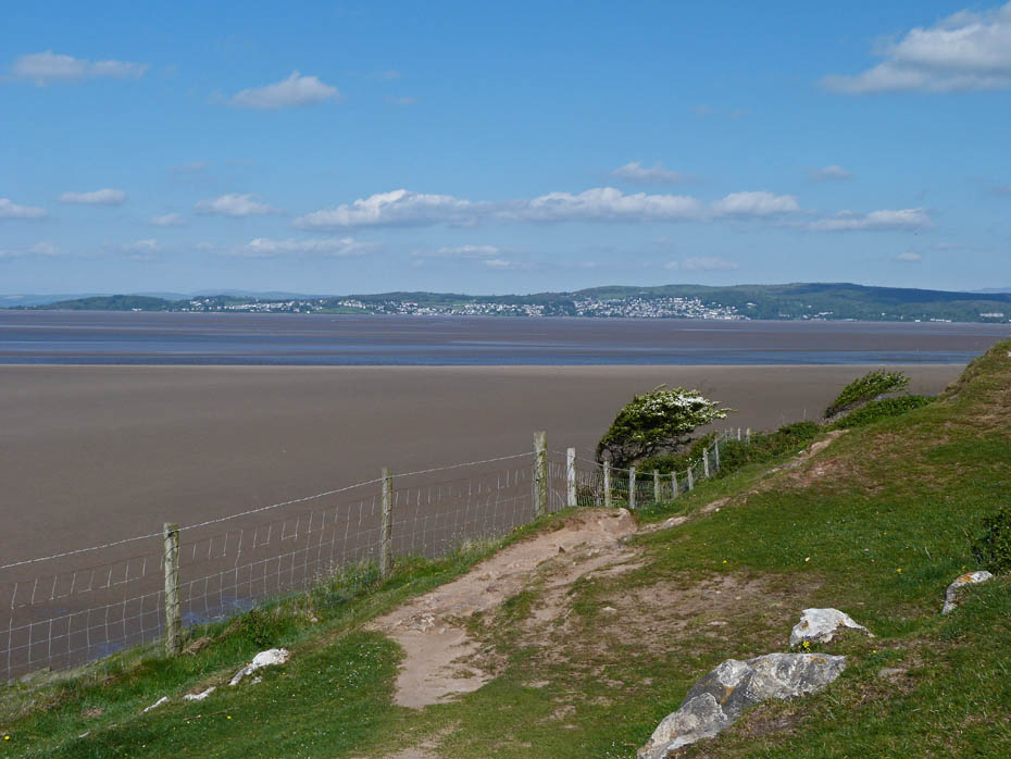
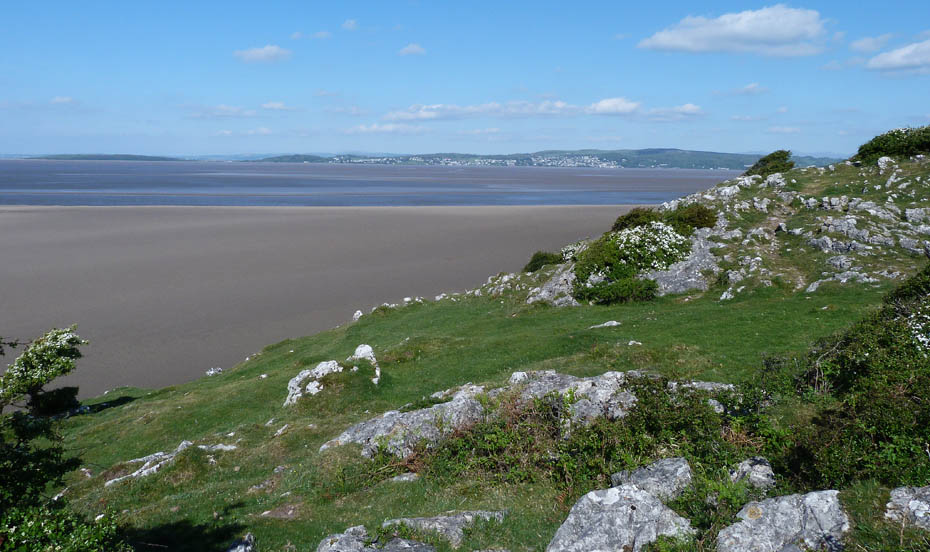
I left the path along the cliffs to make my way to....
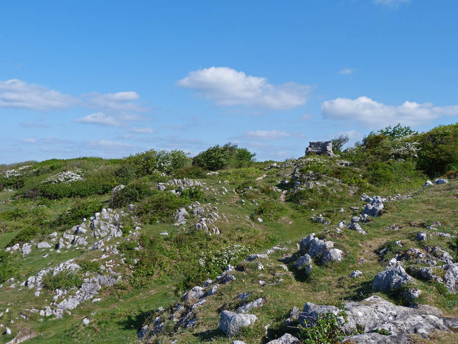
....the Giants Seat....
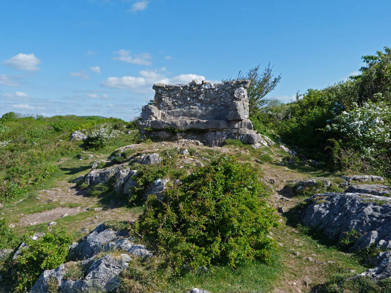
.....which commands a nice view down the bay.
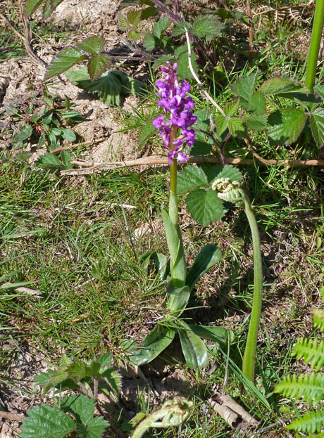
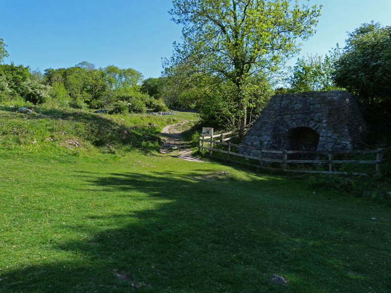
I left the reserve near the old lime kiln.
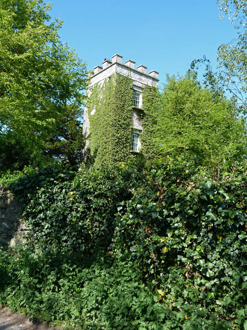
A walk down the quiet lane took me past Lindeth Tower.
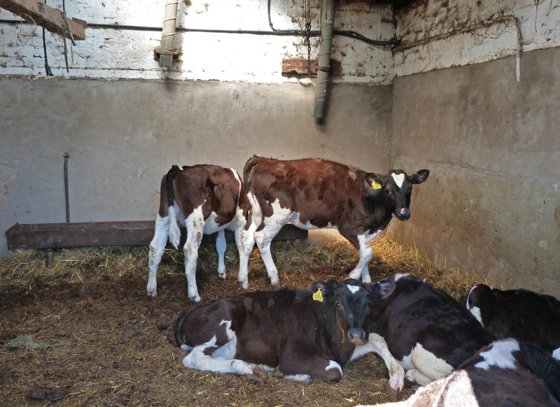
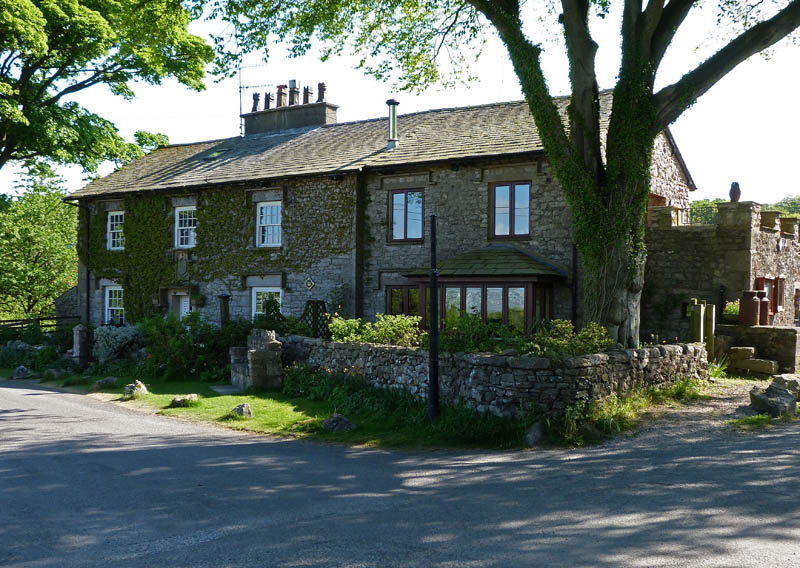
Cottages at Gibraltar.
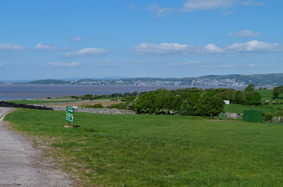
The view from Gibraltar.
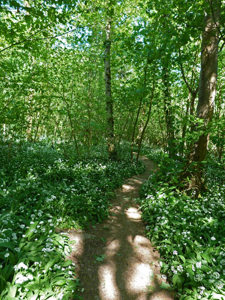
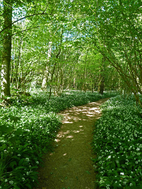
From Gibraltar I made my way to Woodwell and took a path through Bottoms Wood where the air was rich with the smell of wild garlic.
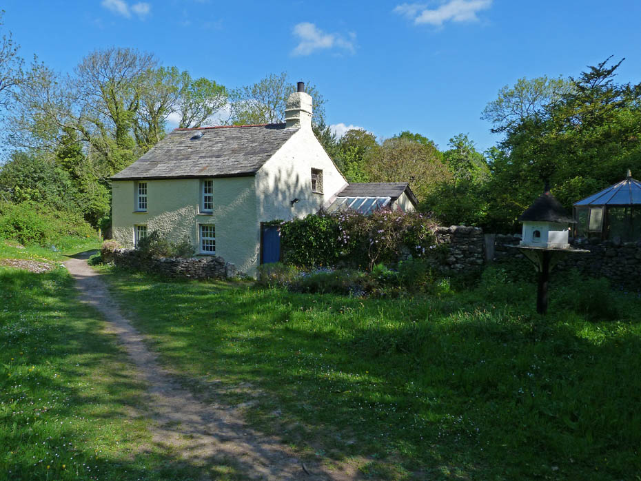
Woodwell Cottage
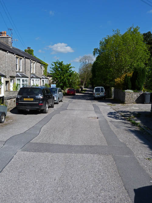
On arrival at Silverdale I decided to give the village a miss and turned right to take a lane towards the church.
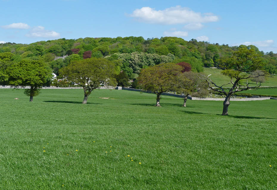
From the church I took the field paths across to The Row with views towards Eaves Wood....
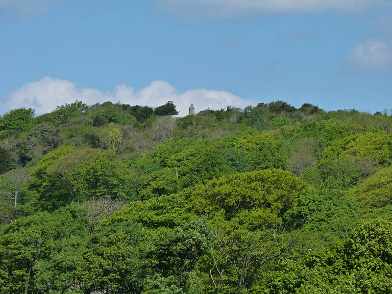
......and a close up of the Pepper Pot.
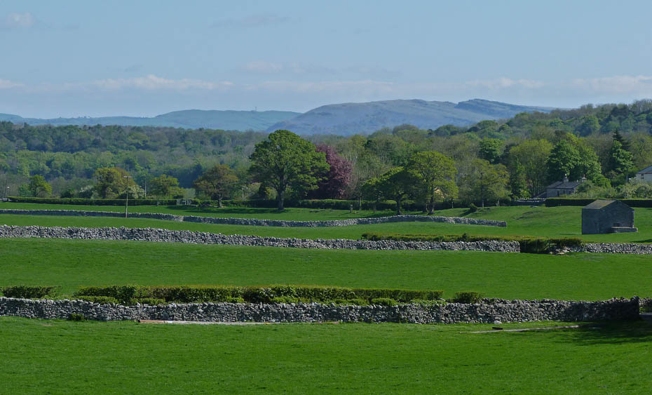
A distant Farleton Knott
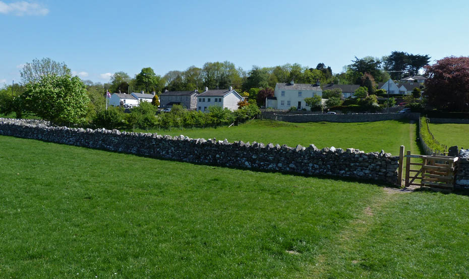
On arrival at The Row I turned right along the road....
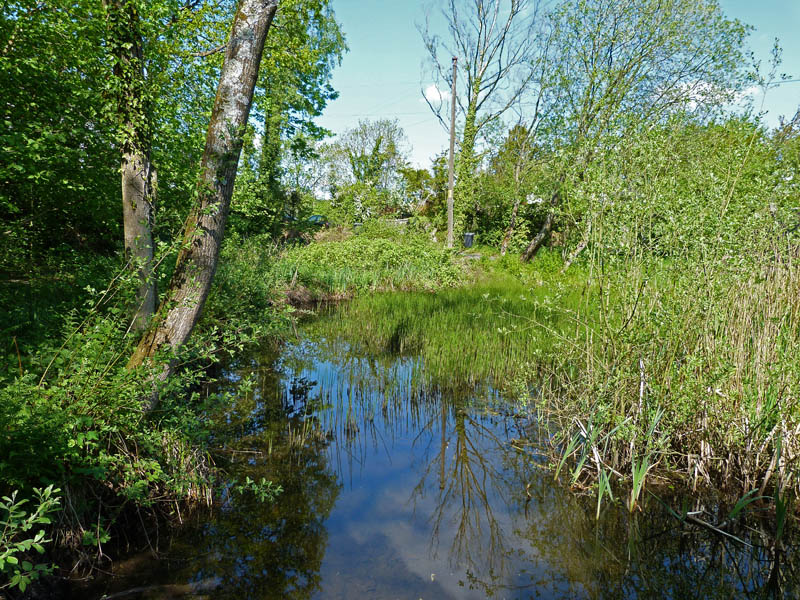
....to pass Bank Well....
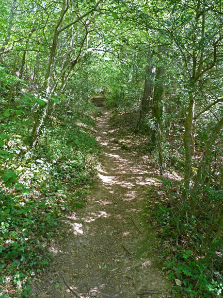
.....and take the path to Burton Well.
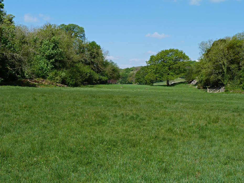
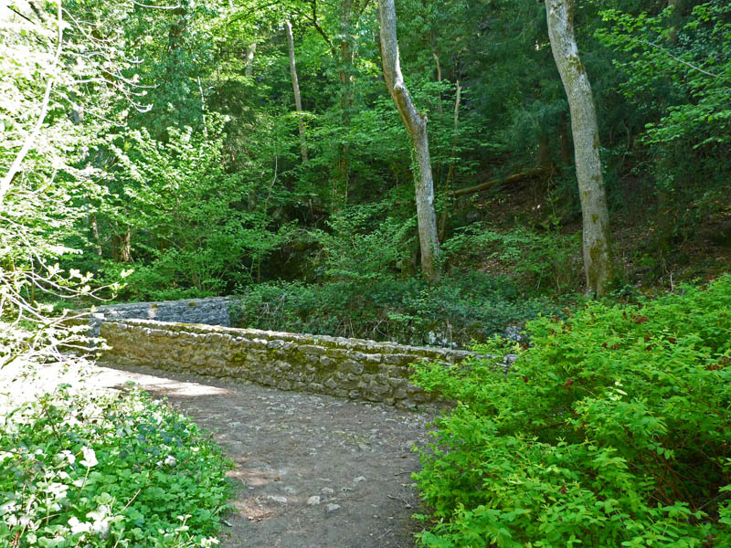
Burton Well.
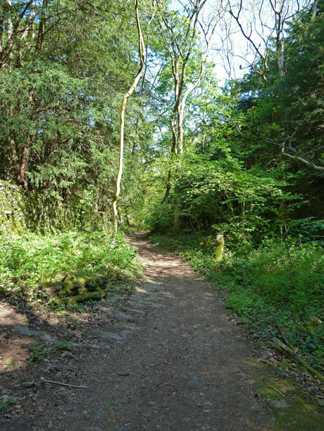
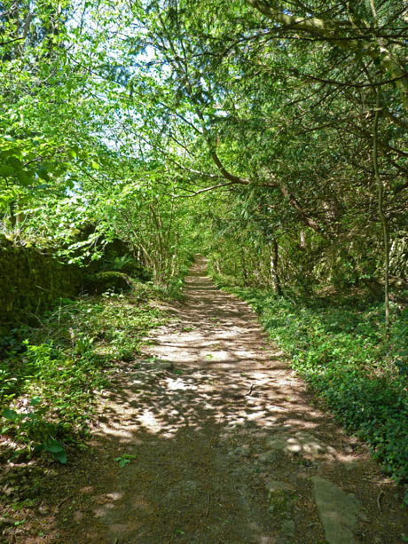
From Burton Well a short walk along the lane took me to Silverdale Green....
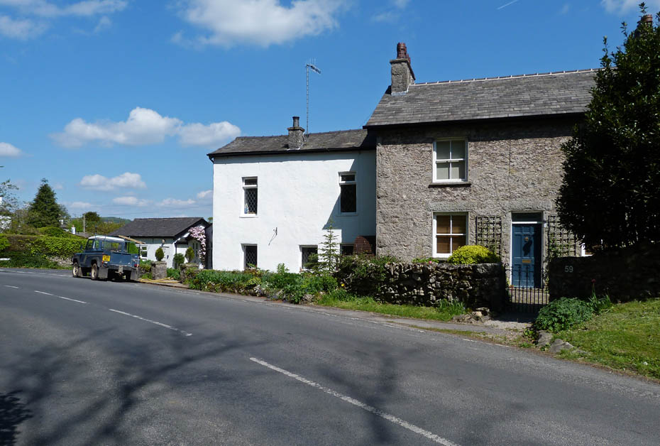
.....from where I had a short walk along the road towards Warton.....
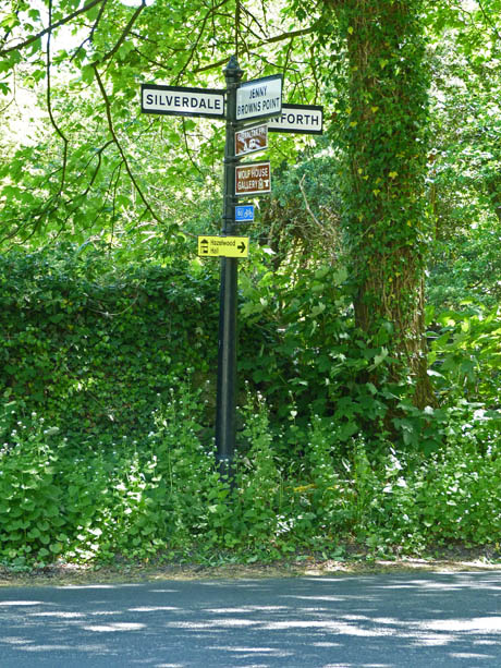
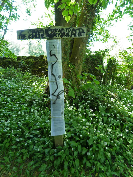
.....before leaving the road at the signpost (l) to walk down the road towards Gibraltar for a few yards before taking the footpath on the left.
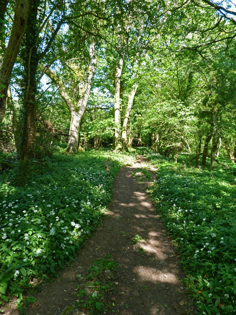
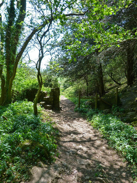
A walk through the garlic-filled Fleagarth Wood....
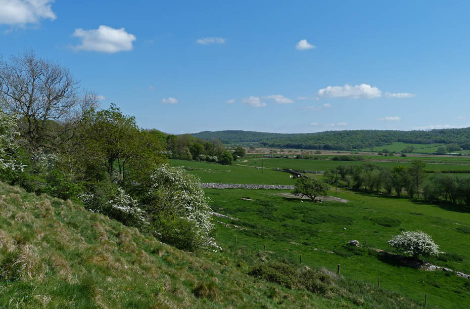
......led me down to the causeway...
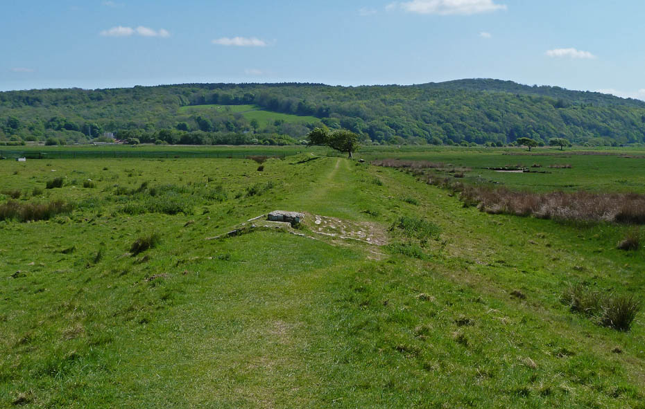
.....for my return to the car with views ahead of Warton Crag...
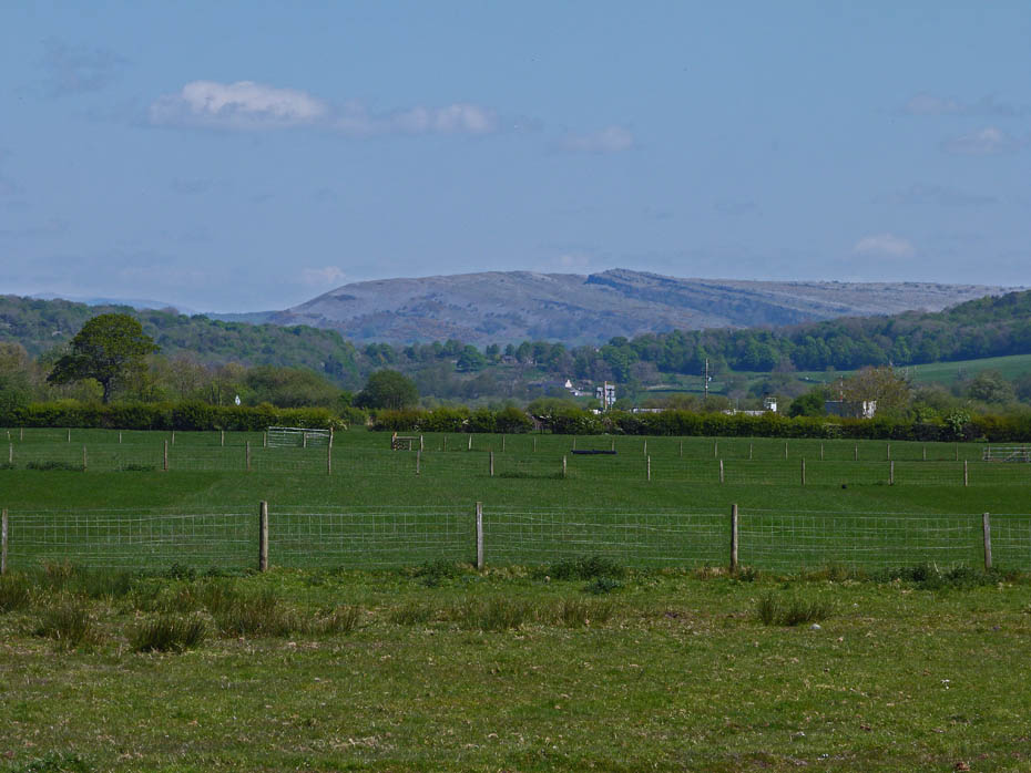
.....and to my left, Farleton Fell...
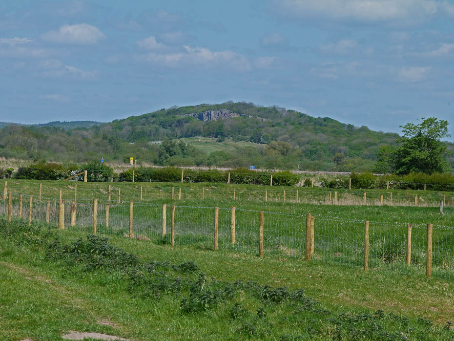
.....and a glimpse of the crags of Trowbarrow.
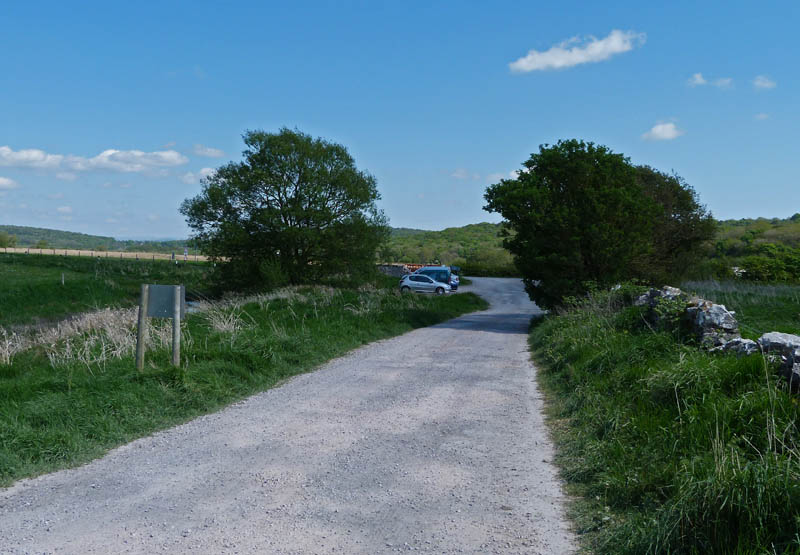
And finally.....back to the car
Next Walk: 4th May 2011 - Forest of Bowland - Along the Wyre Way
Last Walk: 2nd May 2011 - Lake District - Hampsfell
Do you have a Facebook or Twitter account? We post regular updates on both plus some additional pictures. Just click on either of the links below and add us.
We hope you have enjoyed viewing this walk. If you have any comments please sign our Guestbook or E_Mail us.