| Area: | Lake District | Ascent: | 770feet |
| Walk No: | 544 | Time: | 3hours 15minutes |
| Date: | 27th May 2011 | Parking: | Helsington Church |
| Distance: | 5.75miles | Weather: | Cloudy with occasional sunny spell at start |
For those of you that are thinking of going onto the hills I would strongly recommend that you read the advice given by the Mountain Rescue organisation of England and Wales. To read this advice, which will open in a new page please click HERE. If you would like to make a donation to the Mountain Rescue organisation which is purely voluntary please click HERE. Please make the time to read the advice page.
---------------------------------------------------------------
It wasn't a promising day that we awoke to but the forecast for the weekend wasn't any better and anyway it's the weekend of the F1 Monaco Grand Prix which I like to watch. Taking all that into account we decided on giving it a go and have a walk along Scout Scar from Helsington Church. When AW wrote the "Outlying Fells of Lakeland" he didn't show this route which is probably my favourite.
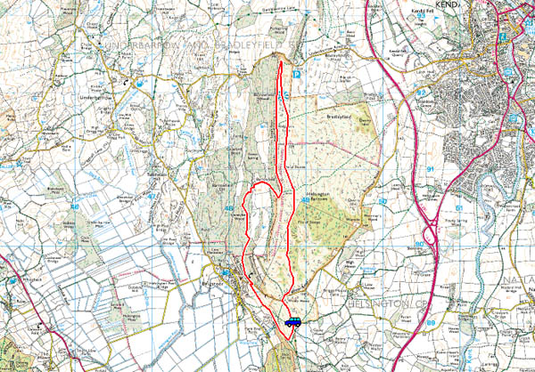
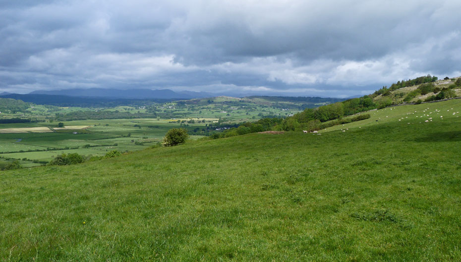
It was cloudy but fine as we set off from Helsington Church.
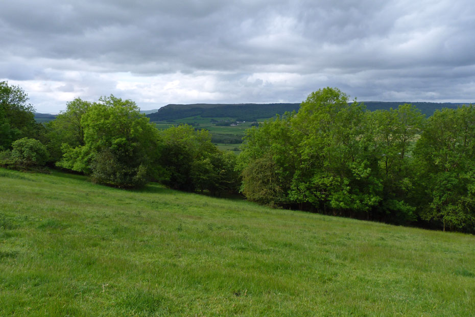
Our route first went down the slope to pick up a path in the trees...
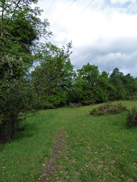
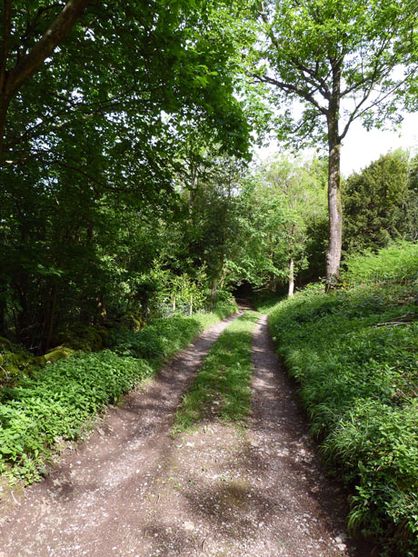
.....we then followed it to the right into a lane.
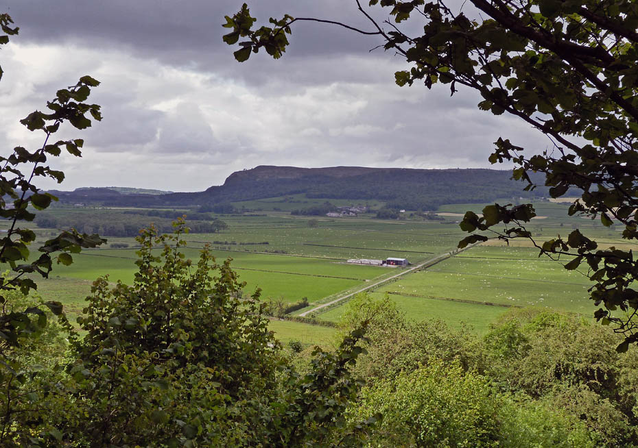
A glimpse of Whitbarrow across the Lyth Valley through a gap in the trees.
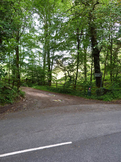
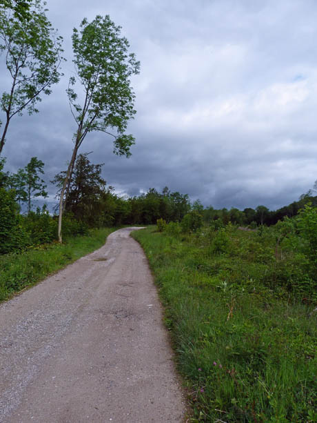
The lane exited onto the Brigsteer road (l). A right turn soon brought us to the lane leading to Barrowfield (r)
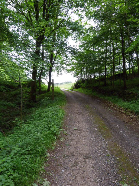
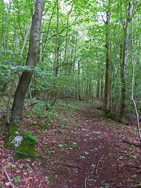
We followed the lane until the gate (l) where the RoW goes through the woods (r).
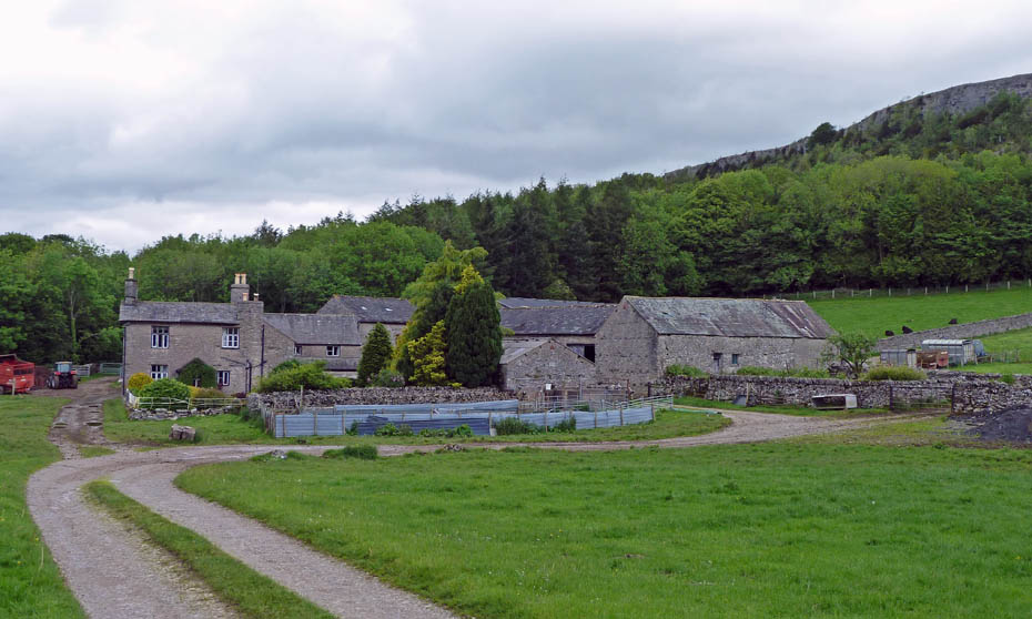
Eventually the path leads out onto the lane again near Barrowfield. The route now follows the lane to the right before going through the gate and up the fellside.
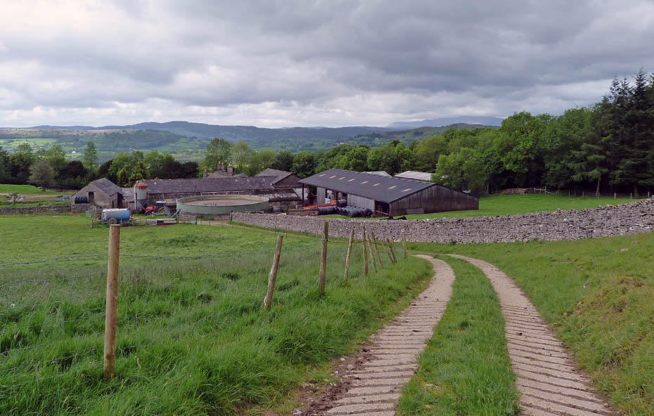
The first section of the path is concreted but soon....
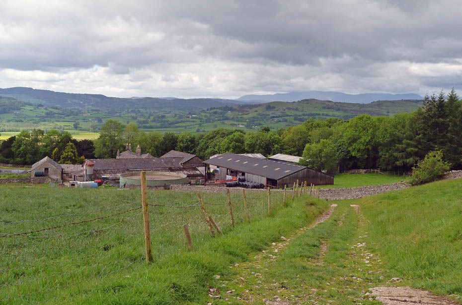
...becomes a rough track leading up to a gate and the narrow path up onto the scar.
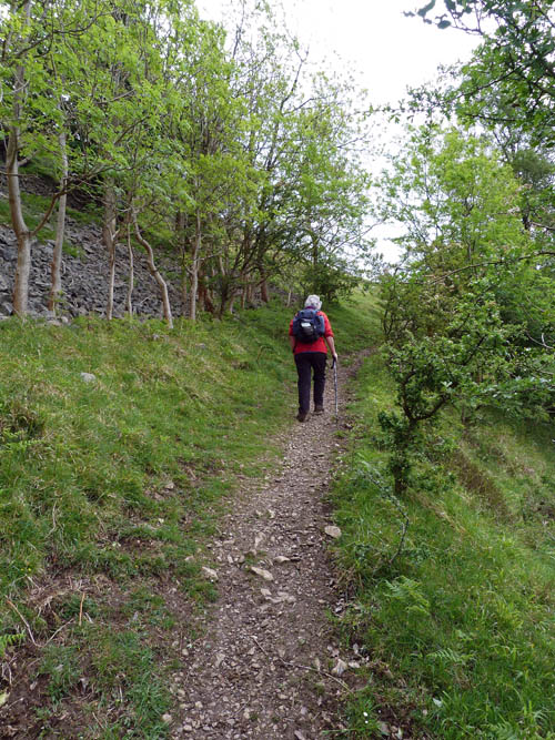
A narrow track leads up up....
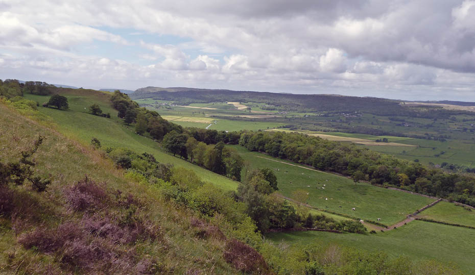
....onto a grassy shelf giving me the opportunity to regain my breath whilst getting a few pictures. Looking over the Lyth Valley to Whitbarrow.
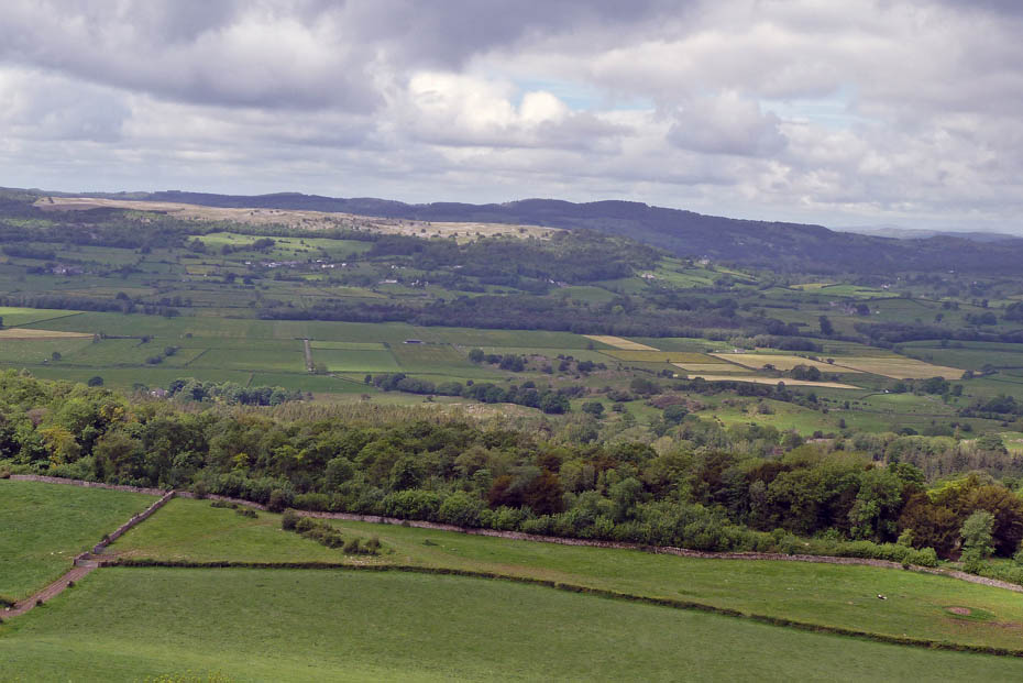
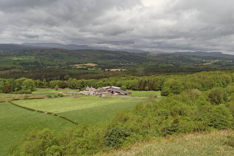
Looking over Barrowfield to the Coniston & Langdale Fells with lots of dark clouds about......best get a wiggle on!
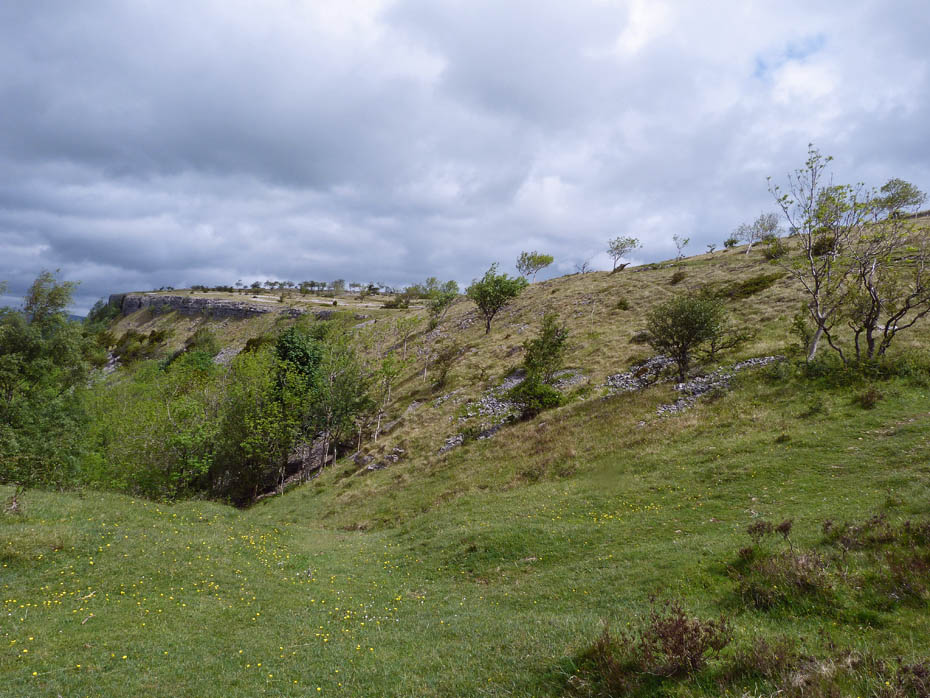
From the shelf just take any of the tracks leading up to the scar edge.
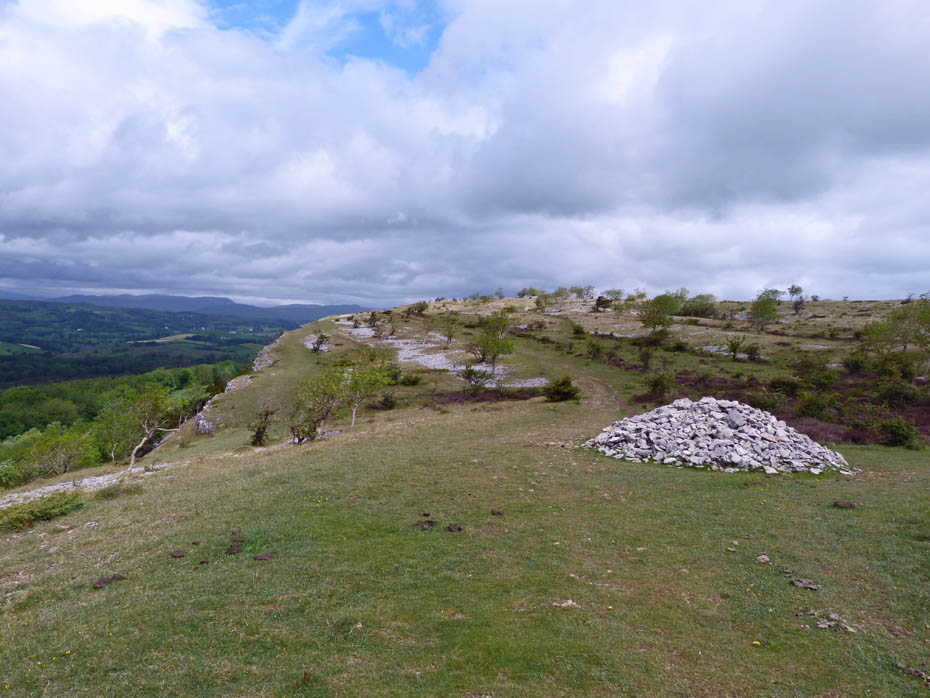
Up on the scar now and the large cairn is that shown at the southern-most point on AW's route.
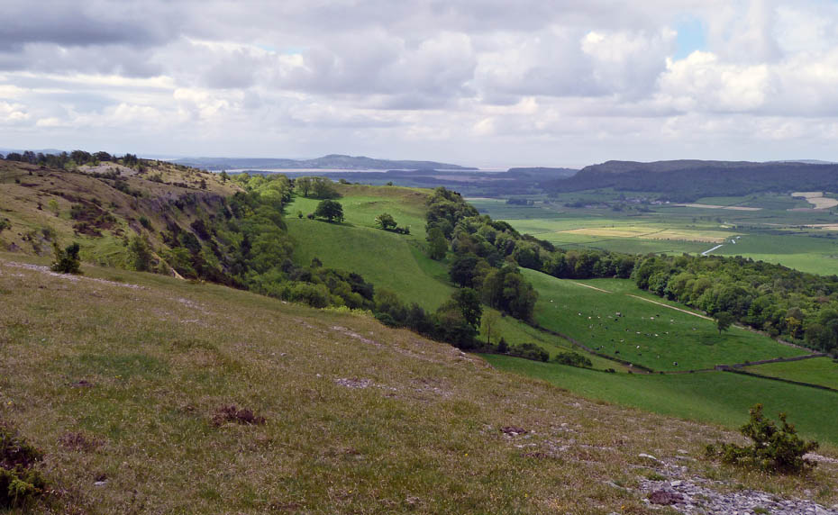
From here it is simply a case of following the edge taking some time to look back as the nicest views at the moment are to the south. Arnside Knott over Helsington Barrows and the River Kent.
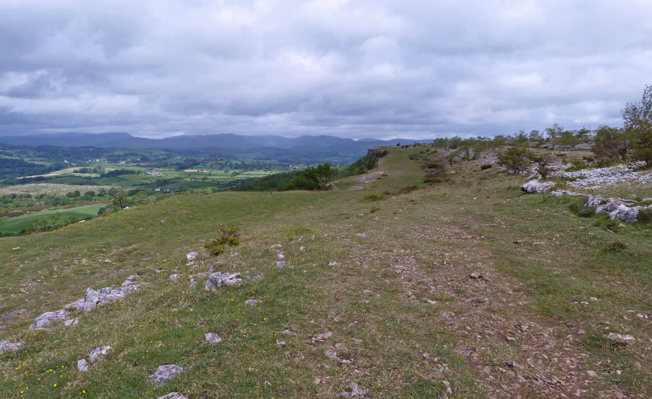
Heading northwards along the scar the Eastern and Far Eastern Fells dominate the skyline.
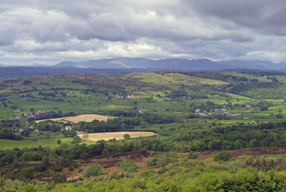
Whilst to the west the Coniston and Langdales show.
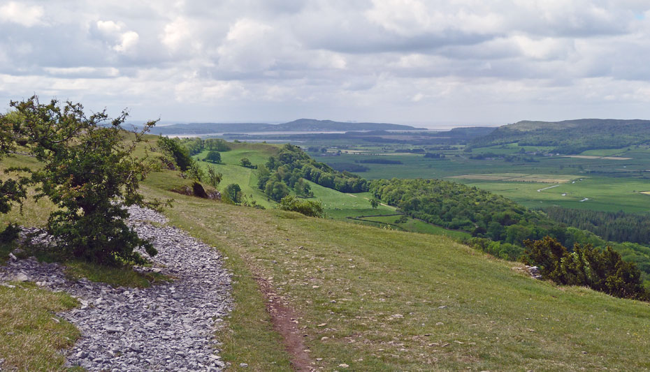
Still worth a look back though.....spot the Power Stations?
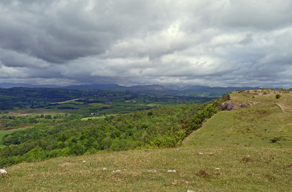
Approaching Hodgson's Leap with the Mushroom in the distance. Not sure how true the tale is but it goes that sometime in the nineteenth century a person named Hodgson made a bet that he could ride a horse down the side of Scout Scar. Drink, of course, played a major role. He blindfolded his horse and over they went! Needless to say, neither survived.
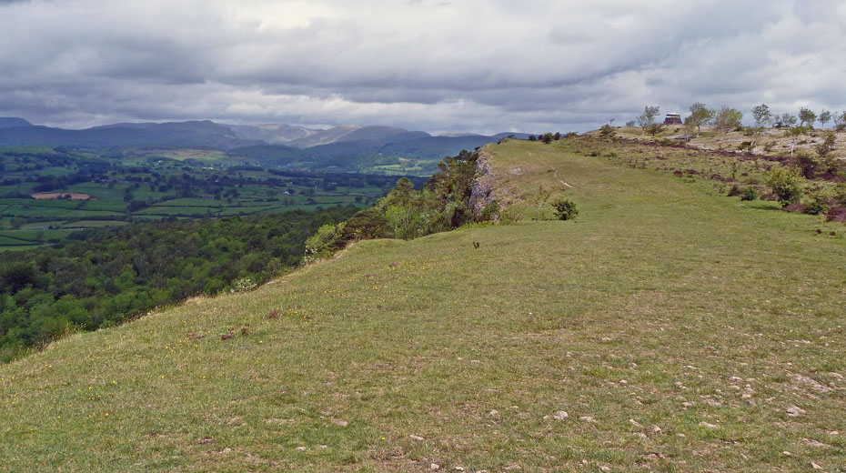
The Kentmere Fells catch a little sun. Will it brighten for us as we near the end of the scar.
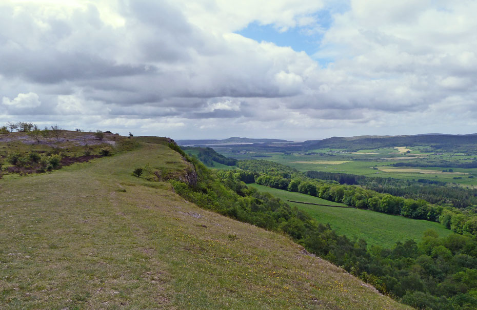
Looking brighter that way!!
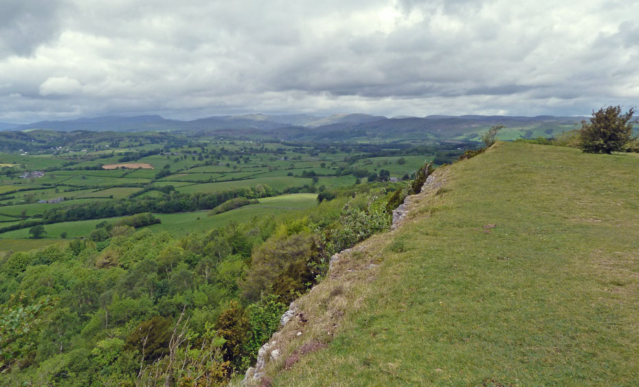
Good fortune smiles on the Browns. The sun is trying to play out!
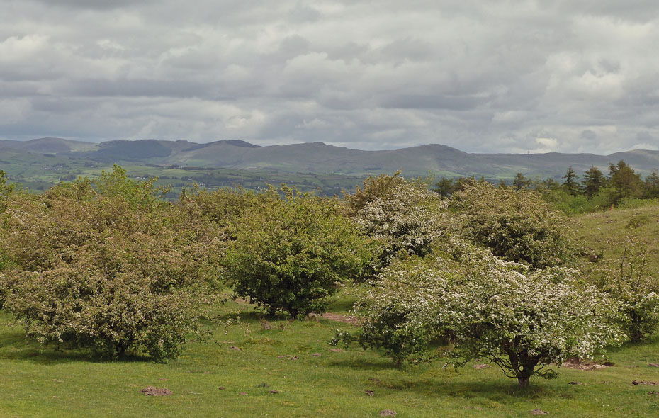
The Whinfell Ridge as we reach the end of the scar.
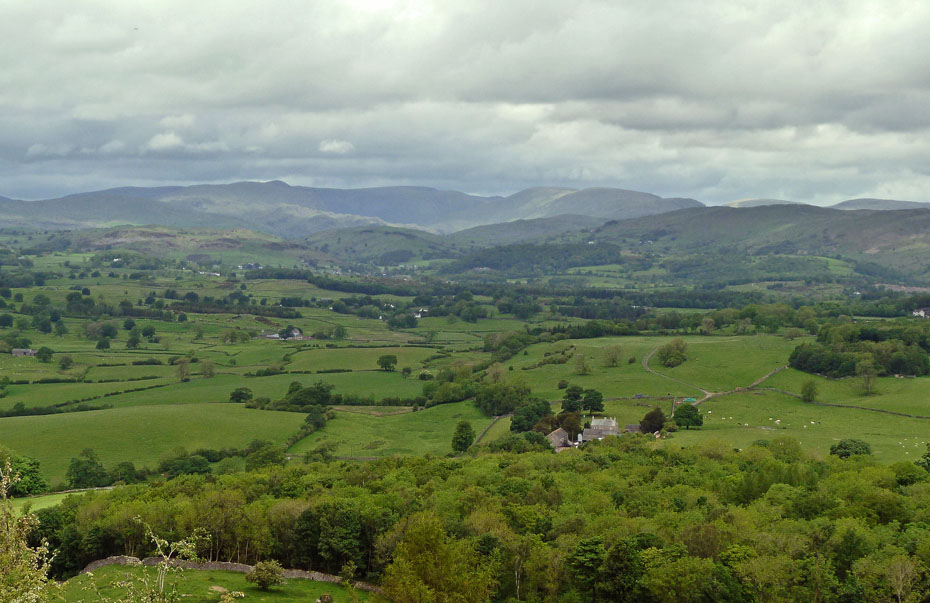
Looking to Kentmere. I'd have happily have settled for this as we set out.
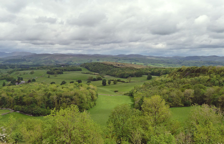
Looking over Cunswick Fell towards the Shap Fells.
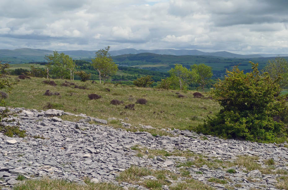
The Howgills over Benson Knott as we make our way to the Mushroom.
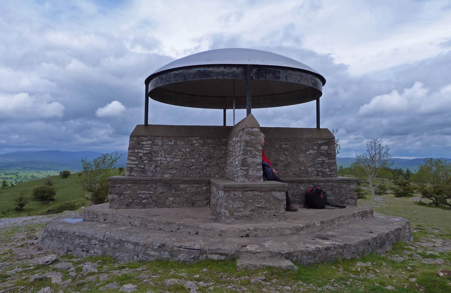
The shelter on Scout
Scar....the shelter was actually built in 1912 as a memorial to King George VI .
A close inspection inside reveals a 360 degree annotated panorama on the rim of
the dome. It was renovated in 2002/2003....I recently received a message
from Ann Hiley a
friend in the Online Fellwalking Club...it reads....Did
you know (apologies if you do) that the last small step on to the base ofthe
'Mushroom' shelter at the top of Scout Scar is the 'Griffin Step'? It was added
at the instigation of the late Harry Griffin when he walked up there in his
declining years in 2003 and found some workmen restoring the shelter after
recent vandalism. He suggested an extra step on the south corner as "when you
are in your 90's the high step on to the base is rather an effort". They duly
obliged.
He encourages us to "walk my little geriatric step to the new seat on some fine
day and admire the most extensive view in the country - but be careful of the
sheer drop to the west."
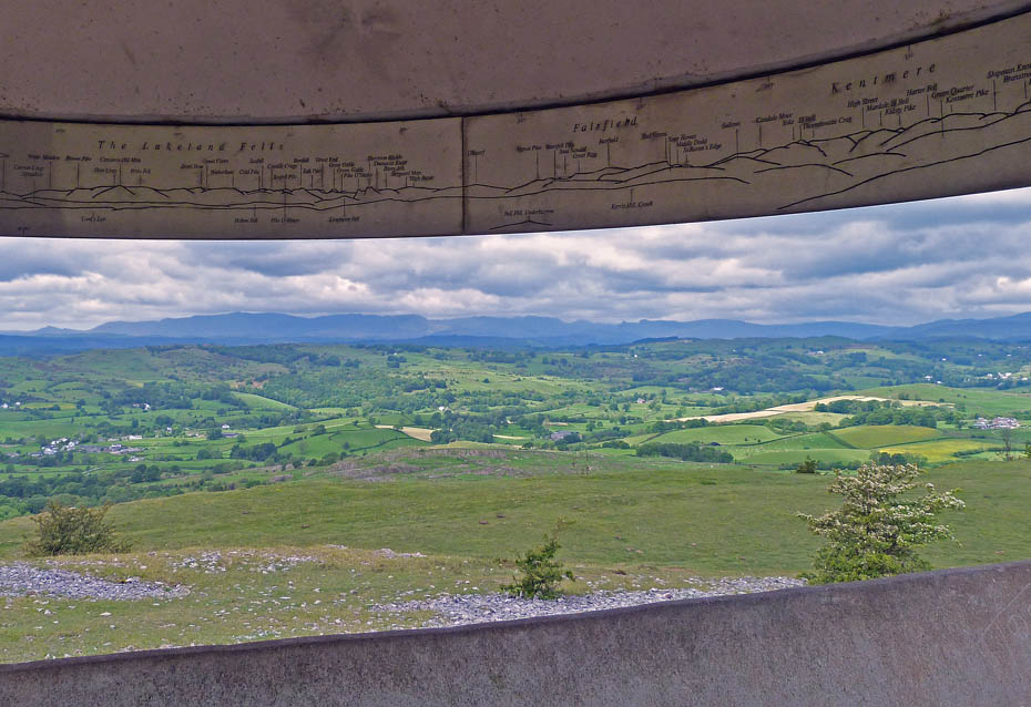
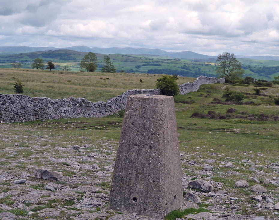
From the shelter we walked along the top of the ridge southwards to the trig point.
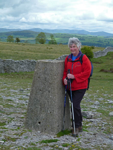
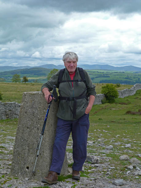
Her & Him at the trig point.
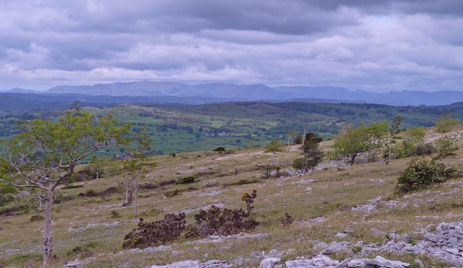
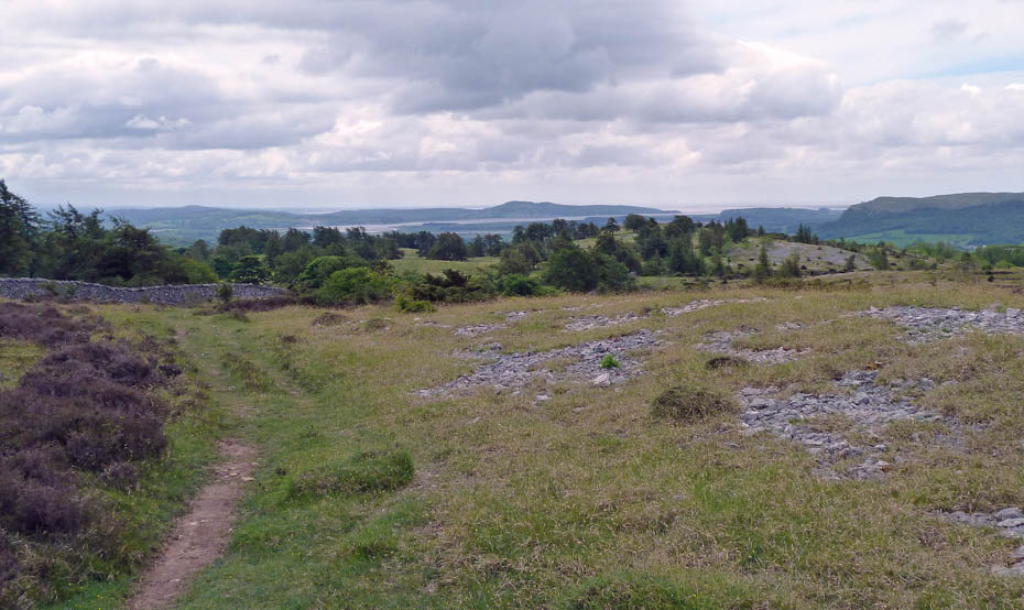
From the trig point we continued southwards to cross the wall into Helsington Barrows.
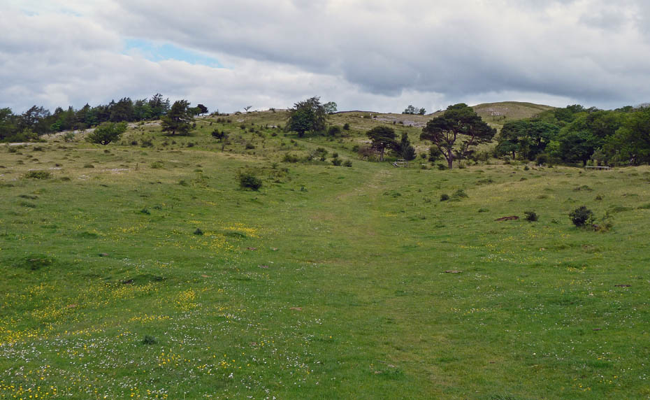
A look back up the Barrows...
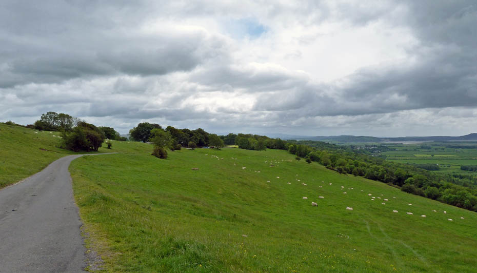
....and just a short walk along the lane back to the church and car.
Next Walk: 30th May 2011 - Lake District - Above the Troutbeck valley
Last Walk: 25th May 2011 - Arnside & Silverdale - Arnside Knott
Do you have a Facebook or Twitter account? We post regular updates on both plus some additional pictures. Just click on either of the links below and add us.
We hope you have enjoyed viewing this walk. If you have any comments please sign our Guestbook or E_Mail us.