| Area: | Yorkshire Dales (N) | Ascent: | 1290feet |
| Walk No: | 549 | Time: | 4hours 30minutes |
| Date: | 6th June 2011 | Parking: | Roadside at Muker |
| Distance: | 6.75miles | Weather: | Fine with some sunny periods. |
For those of you that are thinking of going onto the hills I would strongly recommend that you read the advice given by the Mountain Rescue organisation of England and Wales. To read this advice, which will open in a new page please click HERE. If you would like to make a donation to the Mountain Rescue organisation which is purely voluntary please click HERE. Please make the time to read the advice page.
---------------------------------------------------------------
At the risk of maybe upsetting one or two people I have to admit that I believe the meadows at Muker are a wee bit overrated. Yes they are nice to see but there are many just as good and those visiting solely to see the meadows may leave a little disappointed. That said the area is one huge delight and a walkers paradise and if like us the visits have got less over the years then there is no better time than June. It is less in mileage terms from home to Muker than it is to Keswick in the North Lakes but takes longer in time due to the terrain. Anyway we left home around 0730hrs and arrived in Muker after one or two stops along the way about 0910hrs. It was fairly sunny when we arrived and stayed that way for a while before filling in with high white clouds only for the sun to reappear near the end.
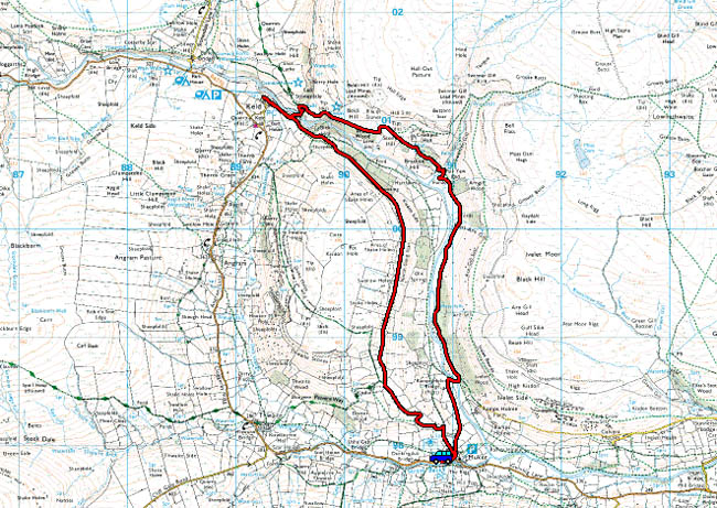
Route Map
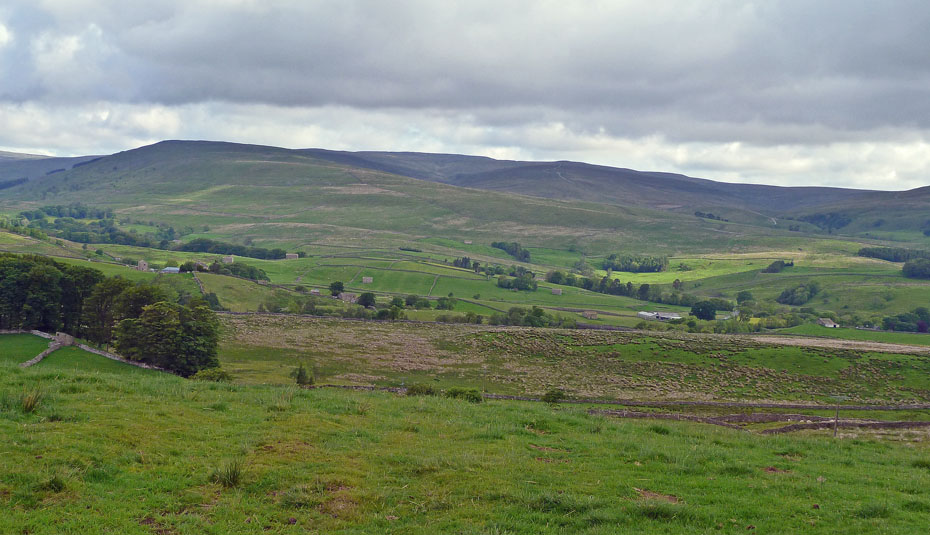
Looking over to Great Shunner Fell from the roadside above Hawes.
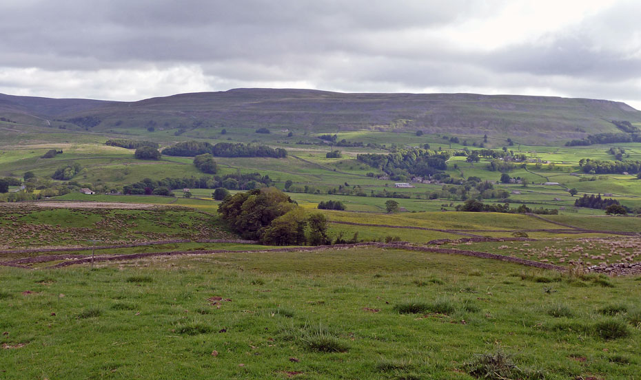
And to Lovely Seat. Our road over Buttertubs to Swaledale can just be made out on the far left below the skyline.
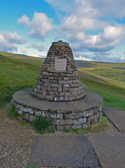
The Millennium Cairn above Swaledale.
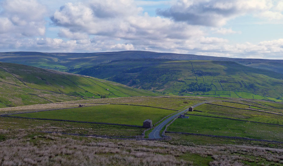
The road down into Swaledale with Kisdon in centre picture.
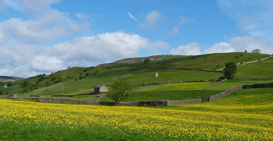
The southern slopes of Kisdon from our parking space at the roadside.
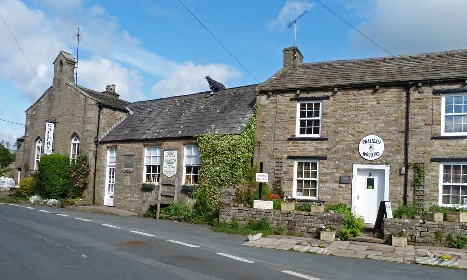
The Gallery at Muker.
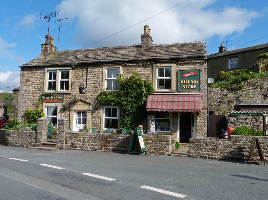
The cafe was just opening as we passed.
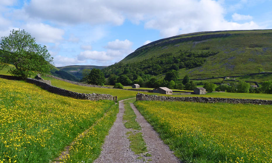
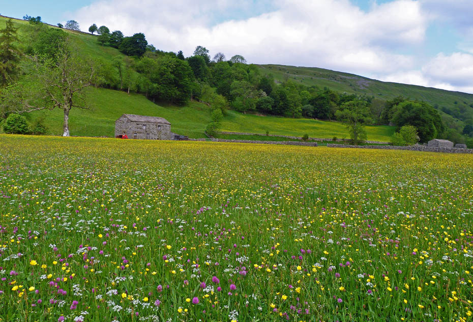
A short walk soon had us into the first of the hay meadows.
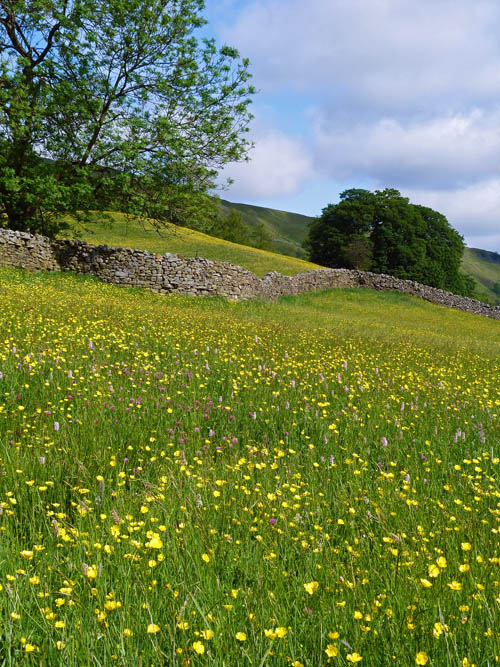
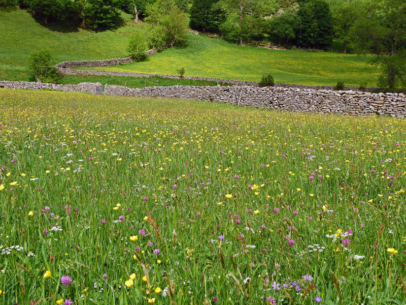
They were not quite at there best but still very nice to see.
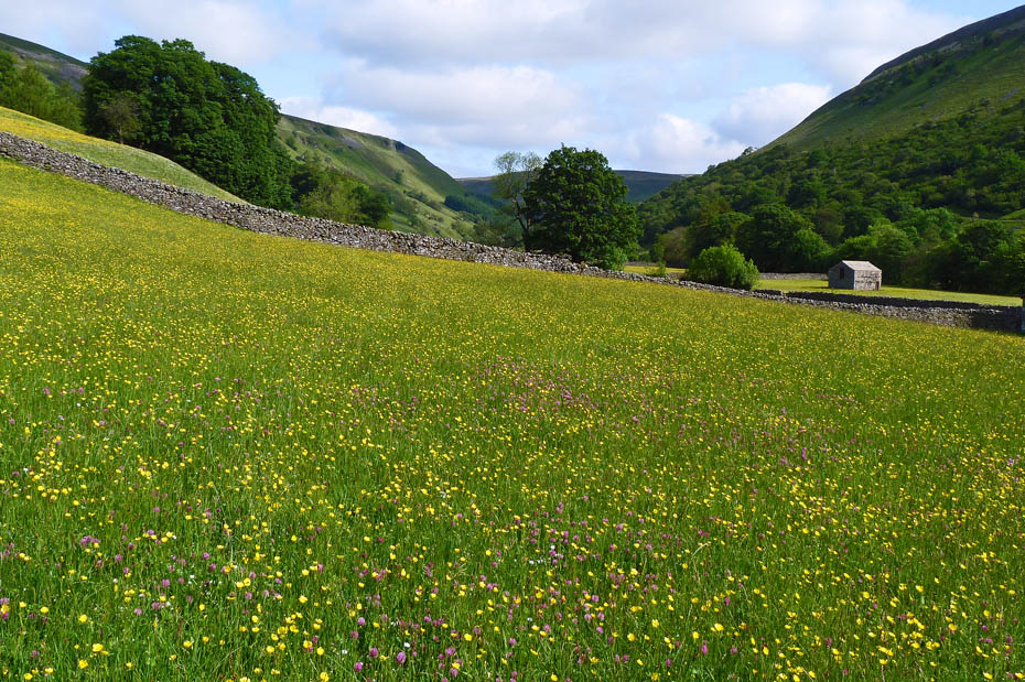
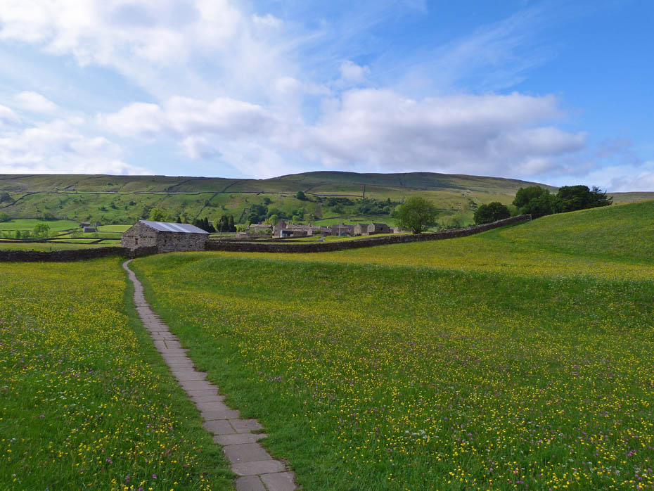
A look back.
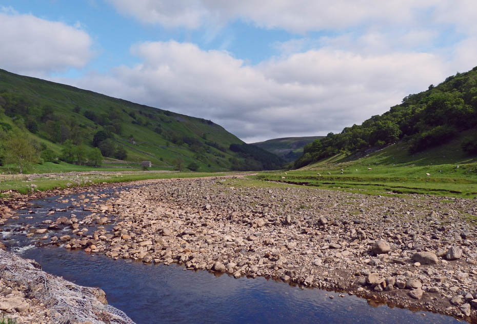
Eventually the meadows are left behind and there is a choice up the left or right hand side of the river.
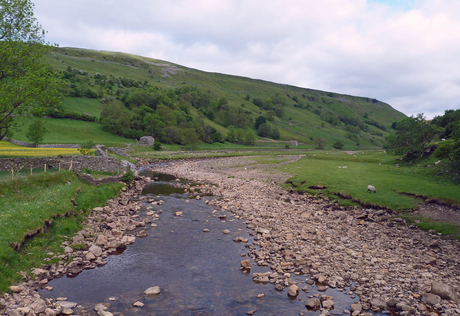
We opted for the right hand side which gave us a choice of high or low level return along Kisdon.
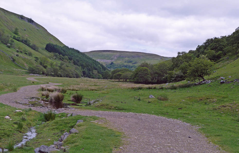
Having crossed the Ramps Holme footbridge we headed up the valley.
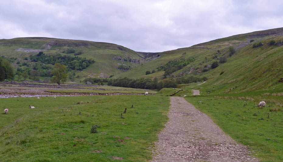
Ahead of us in centre picture is Swinner Gill home to the now disused Swinner Gill Lead Mines.
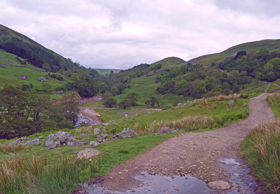
The climbing along here is gentle.
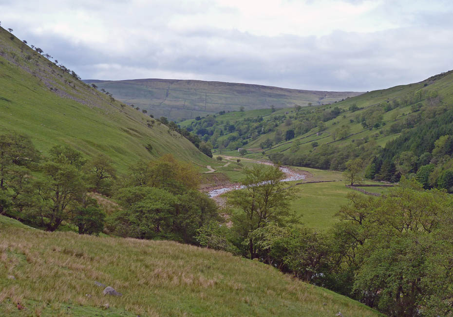
A look back along the valley as we near Swinner Gill.
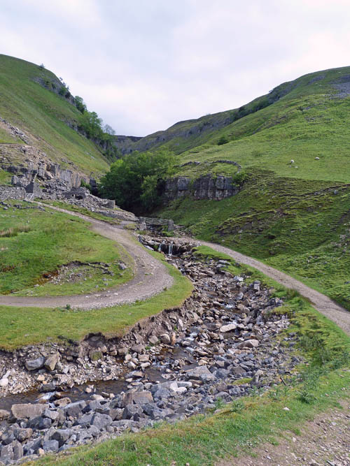
Our path turns into the Gill to cross it. It was near here a few years ago that a moment of carelessness ended with me taking a tumble and ending up with a wet backside sat in a puddle.
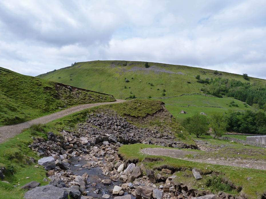
Just about here I think.....watch those feet!!
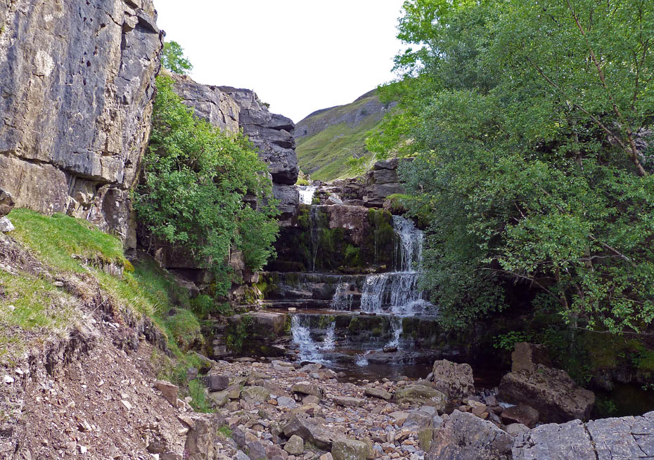
A short walk up the gill took us to the falls which after some recent rain were still surprisingly dry.
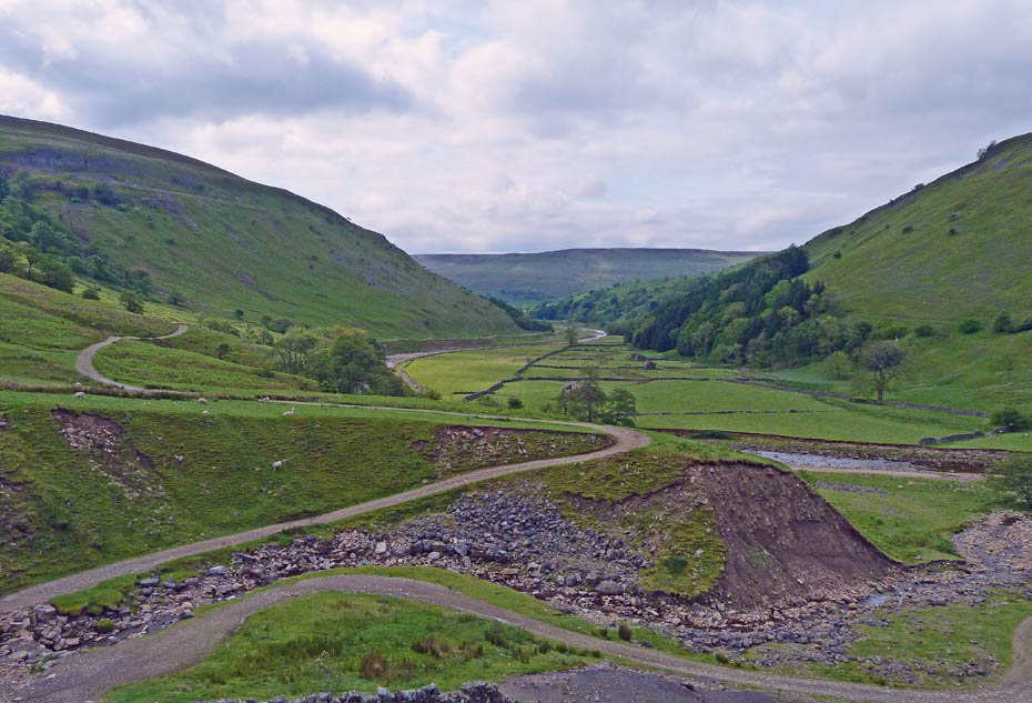
The path gets a bit steeper after the gill but gives the opportunity of fine views down the valley.
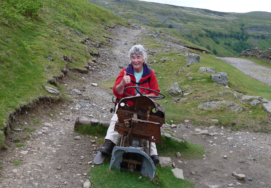
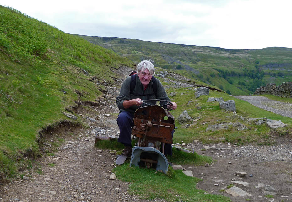
Wish I had a fiver for every time I've taken a picture of Edith here.....this time I was made to take part.
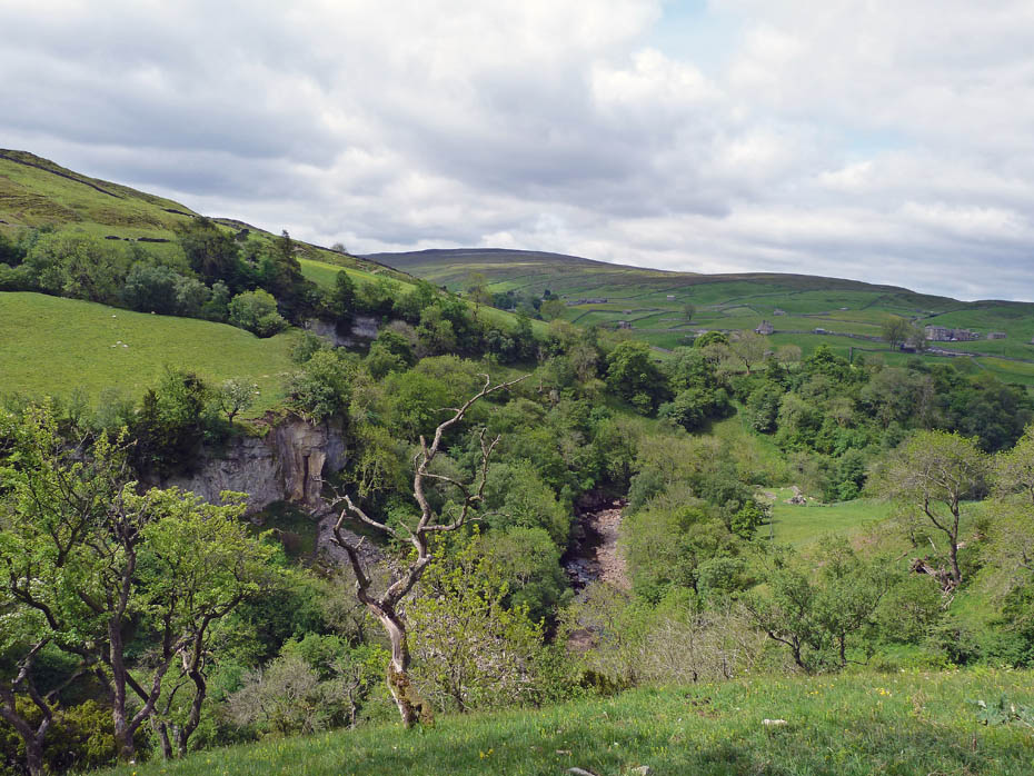
Our path carries on towards Keld.
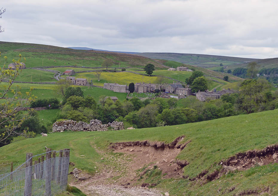
The start of the descent to Keld seen ahead.
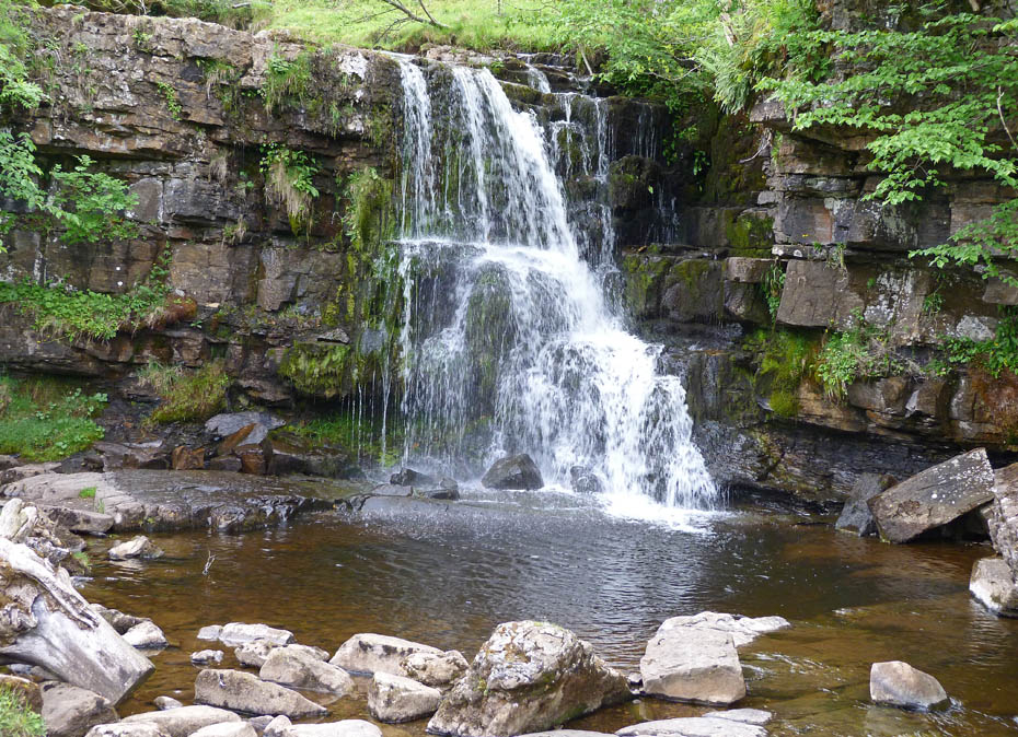
East Gill Waterfall.
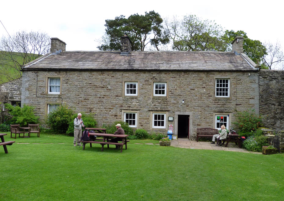
A refreshment stop at the cafe/shop at Keld.
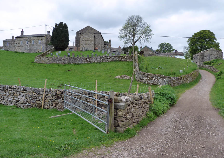
Leaving Keld.
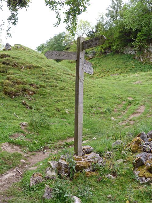
Decision time......we decided to carry on along the higher level Pennine Way for the views.
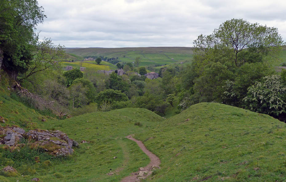
Looking back to Keld
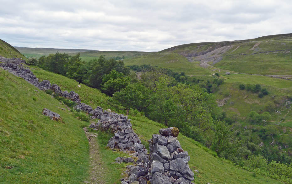
Looking across the valley to where we had walked earlier. I'm sure this stretch must be one of the narrowest sections of the Pennine Way.
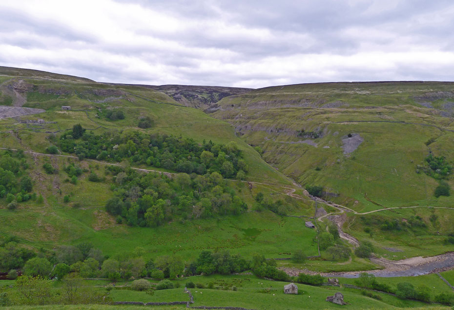
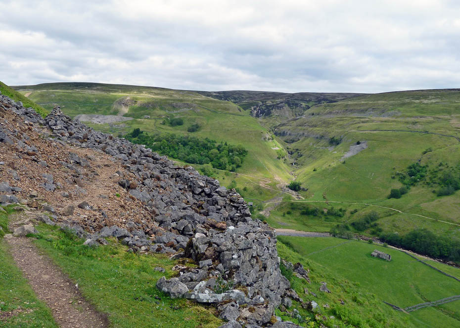
Looking over to Swinner Gill with Crackpot Hall to the left of picture.
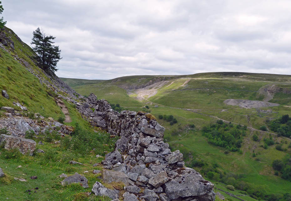
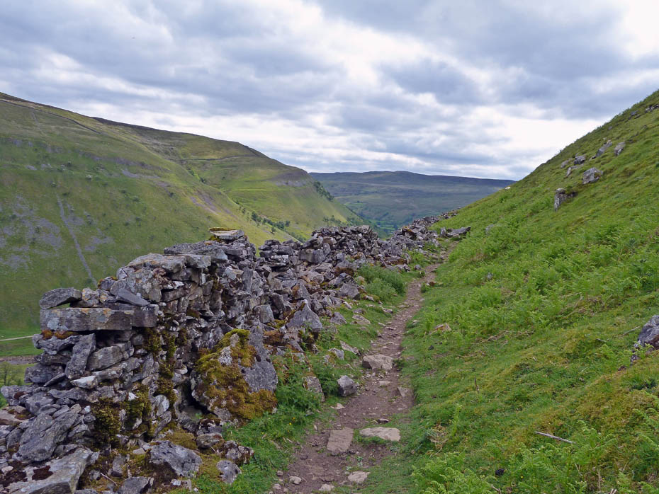
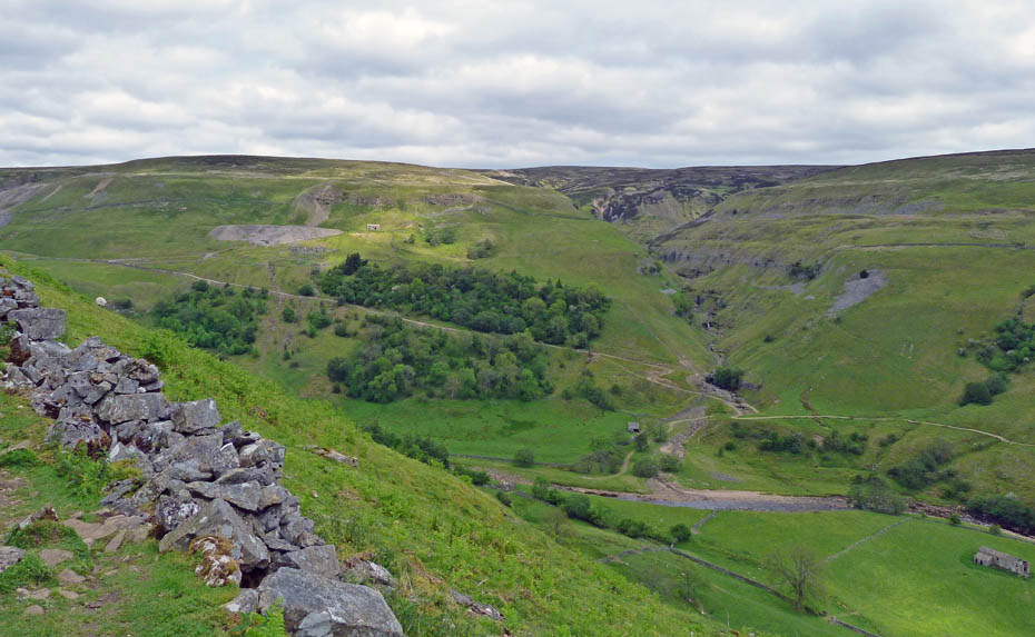
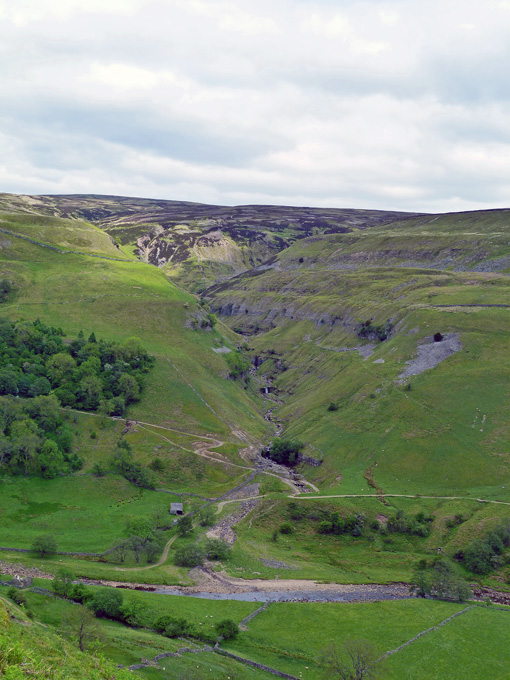
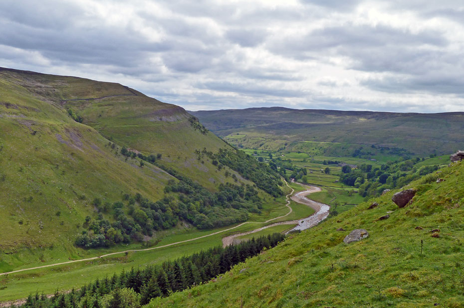
The weather which had dulled a little started to brighten a little as we made our way along the flank of Kisdon.
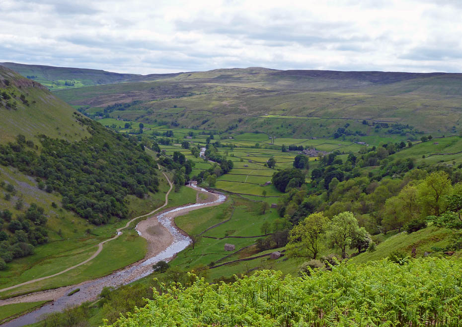
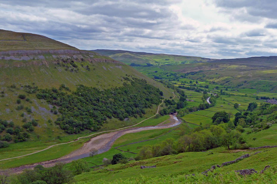
Looking down on Swaledale and across to Askrigg Common.
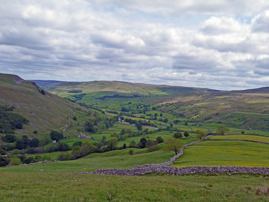
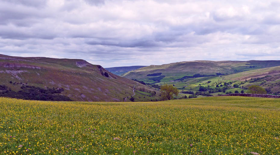
As we descend we pass more hay meadows.
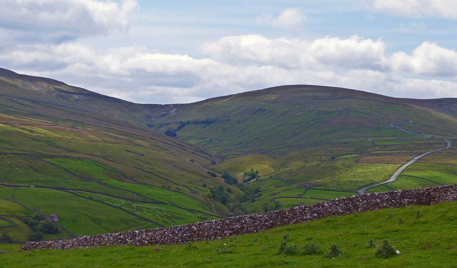
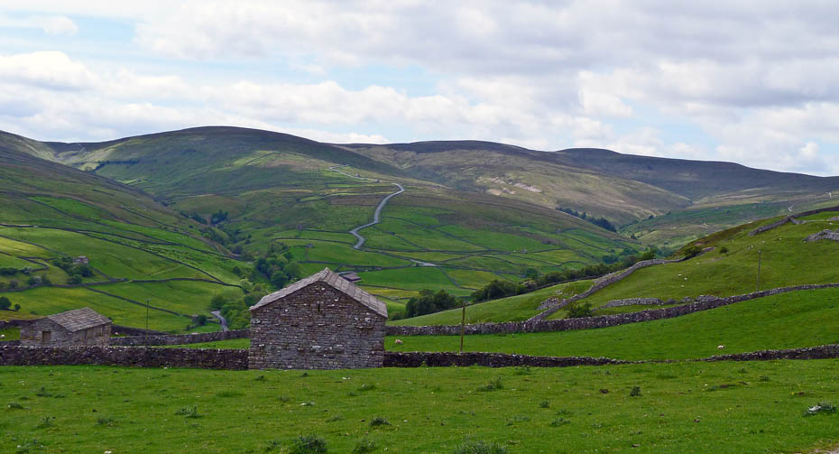
Looking up Cliff Beck with the Cliff Gate Road over Buttertubs to the right.
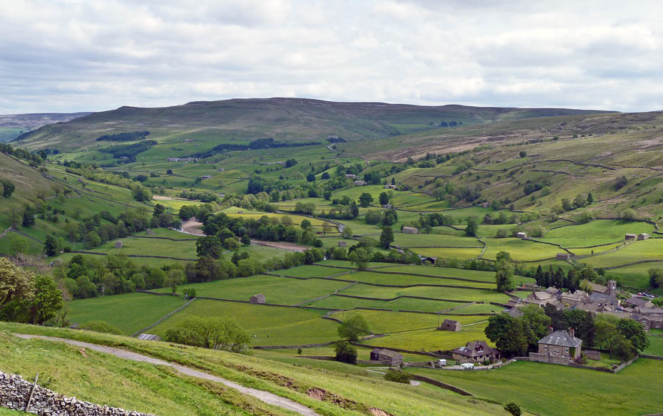
Looking down on Muker.
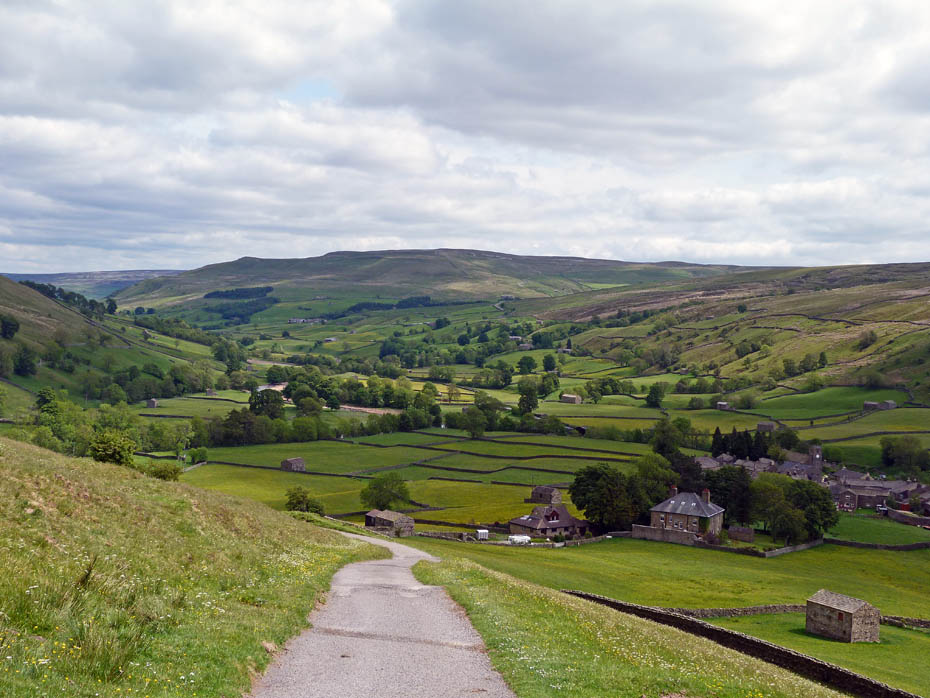
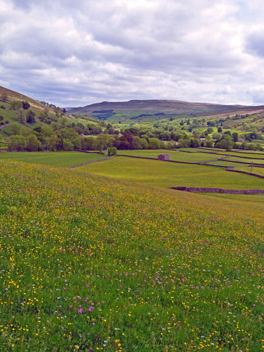
After finishing the 214 Wainwrights in 1993 we spent the best part of 12 months visiting this valley and enjoyed every moment of it.
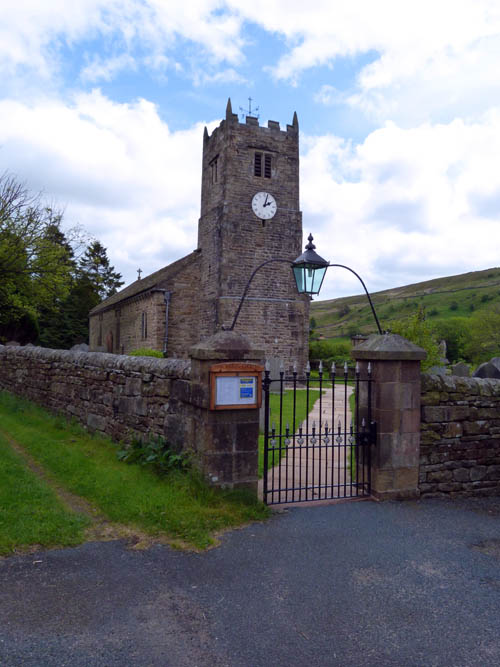
Back at Muker and St Mary the Virgin's Church.
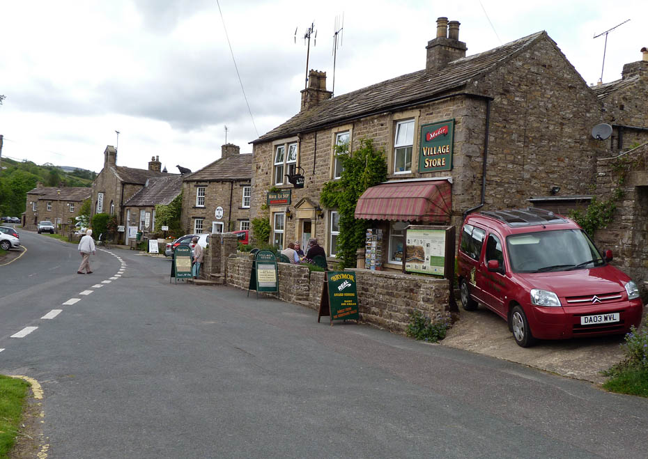
And finally....A second refreshment stop at the tearoom.
Next Walk: 9th June 2011 - South Cumbria - A Sizergh & Levens walkabout.
Last Walk: 3rd June 2011 - Arnside & Silverdale - By the Sands & Cliffs to Arnside Knott
Do you have a Facebook or Twitter account? We post regular updates on both plus some additional pictures. Just click on either of the links below and add us.
We hope you have enjoyed viewing this walk. If you have any comments please sign our Guestbook or E_Mail us.