
| Area: | South Cumbria | Ascent: | 100feet |
| Walk No: | 558 | Time: | 1hour 45minutes |
| Date: | 22nd June 2011 | Parking: | Roadside at Askam in Furness |
| Distance: | 3.50 miles | Weather: | Fine but overcast |
For those of you that are thinking of going onto the hills I would strongly recommend that you read the advice given by the Mountain Rescue organisation of England and Wales. To read this advice, which will open in a new page please click HERE. If you would like to make a donation to the Mountain Rescue organisation which is purely voluntary please click HERE. Please make the time to read the advice page.
---------------------------------------------------------------
Way back in February 1969 Edith and I spent a week at Askam-In-Furness on our honeymoon. Money was tight and every available penny we had saved had gone on the deposit of our house. There were no 100% mortgages then, the best we could find was 80% which meant that we had to find £600.00 for the deposit. Anyway to cut it short our honeymoon was spent at Askam where we stayed with one of Edith's Aunties. With her Aunt & Uncle out at work during the day and having no transport available to us we spent a lot of the time walking in the immediate area. Our first walk as a married couple was from Askam to Barrow on a glorious February morning and this walk takes in but a short part of that walk.
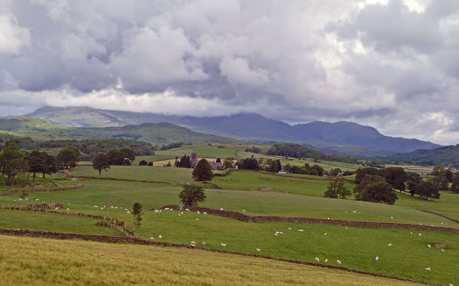
Looking over to the Coniston Fells from near Lowick.
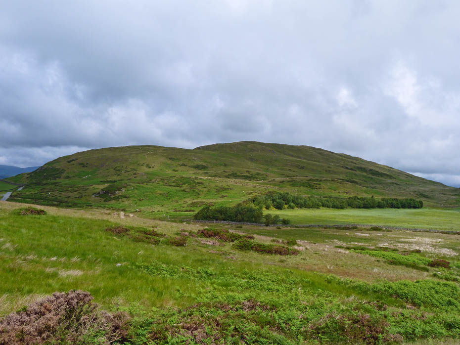
Great Burney, one of AW's Outlying Fells of Lakeland....
....and it's partner Combs.
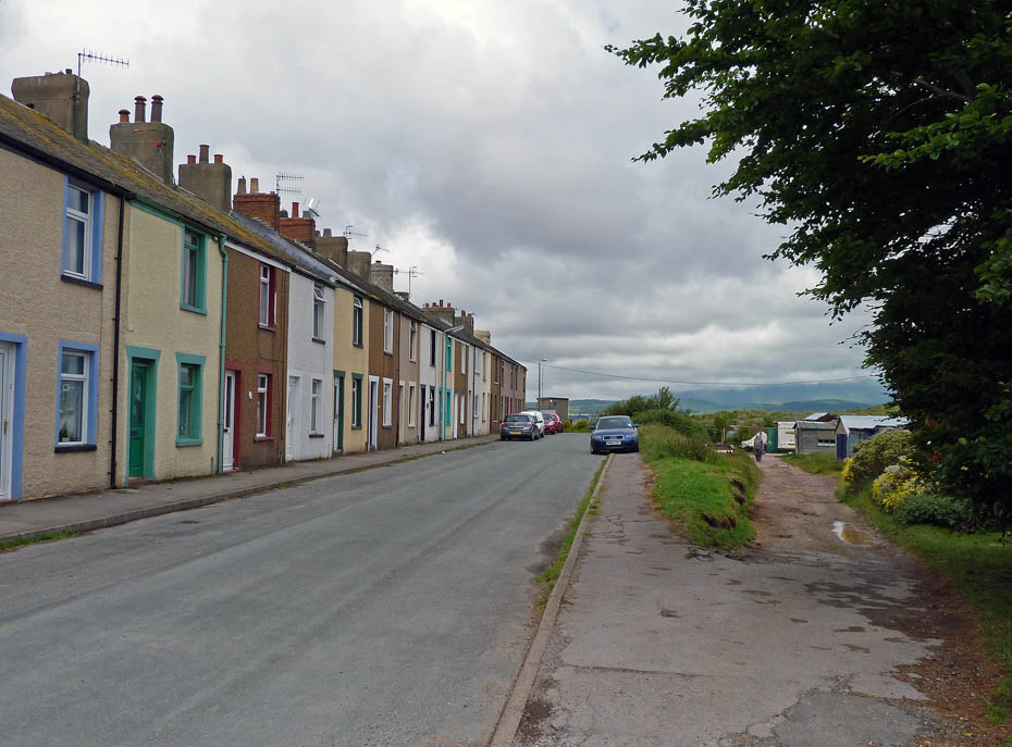
Sharp Street, Askam-in-Furness. We spent our honeymoon in one of these terraced houses back in 1969.
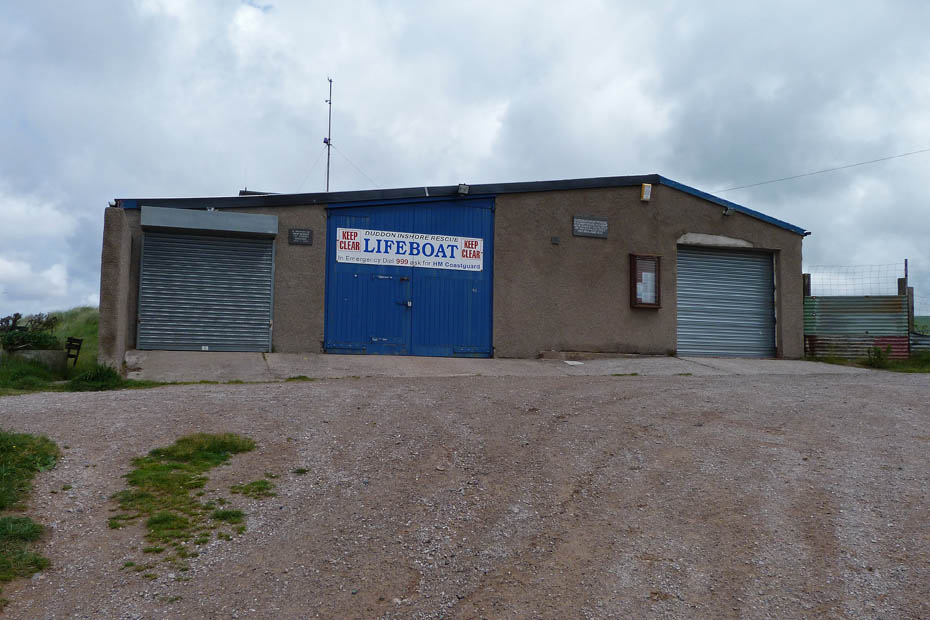
We walked down Sharp Street passing the Inshore Rescue base...
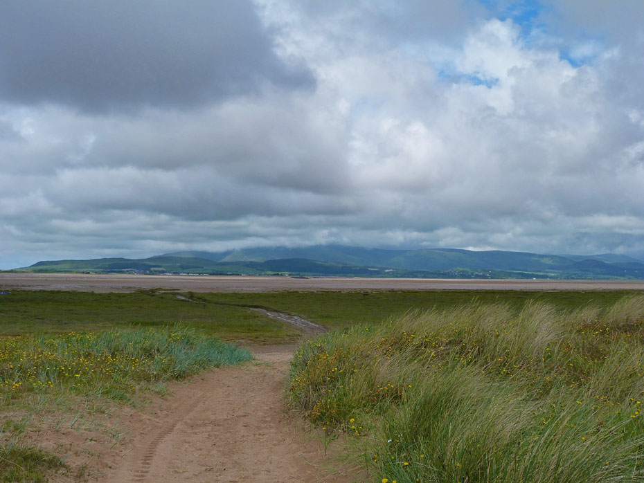
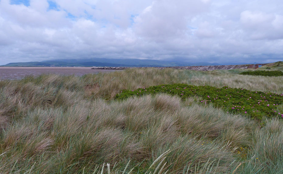
....onto the beach to look over the Duddon Estuary to a cloud topped Black Combe.
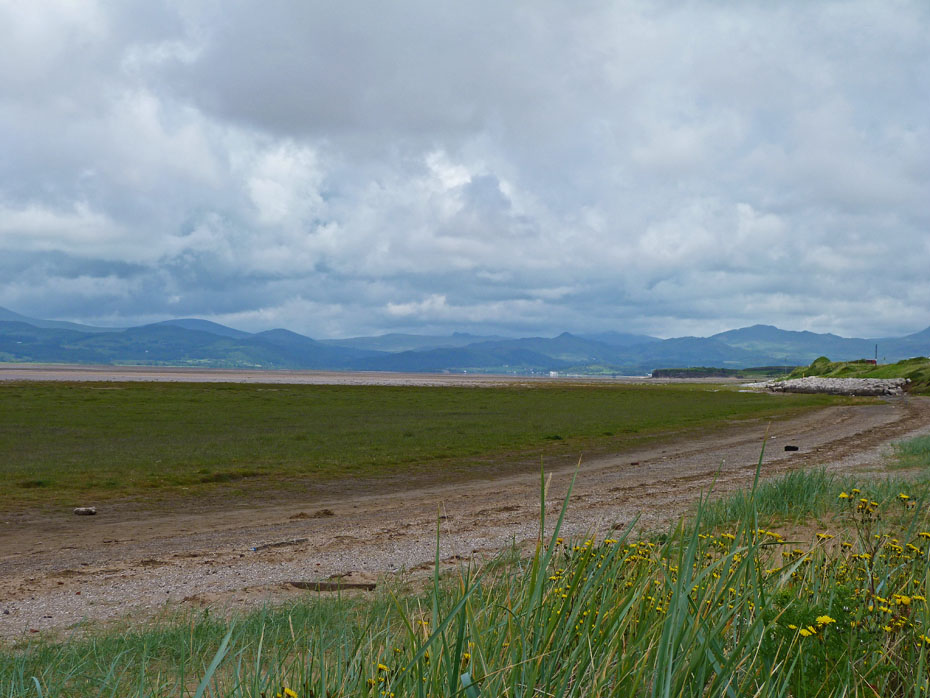
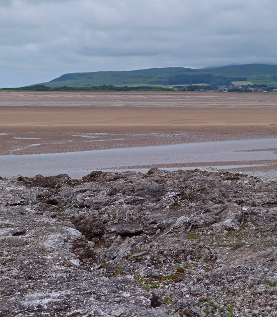
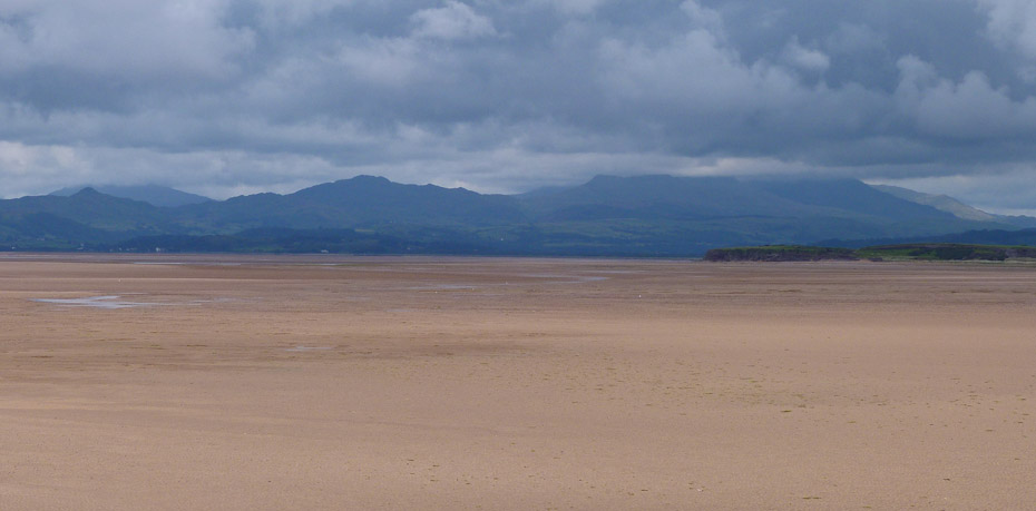
A look up the estuary to Lakeland.
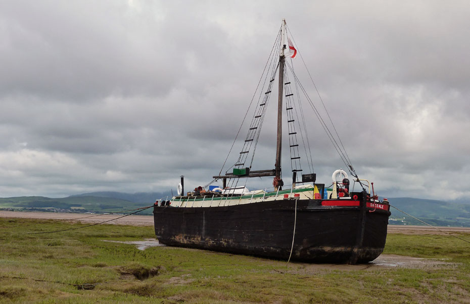
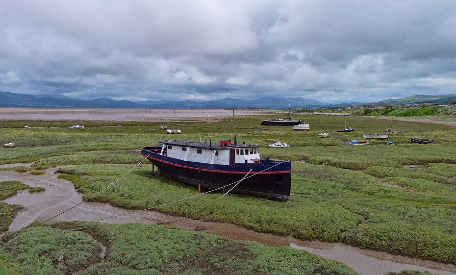
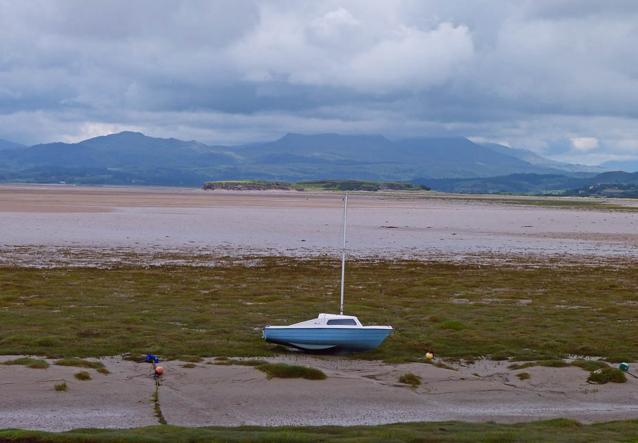
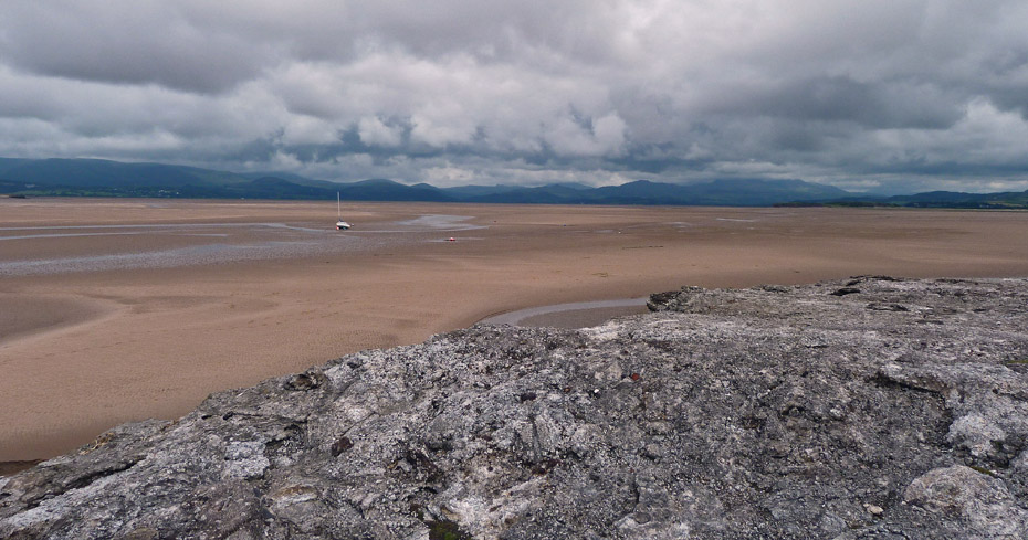
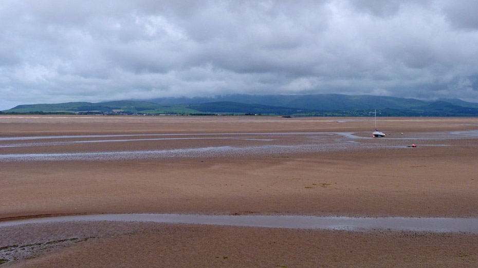
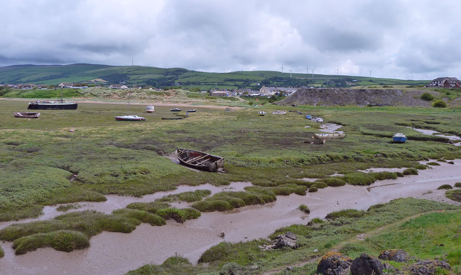
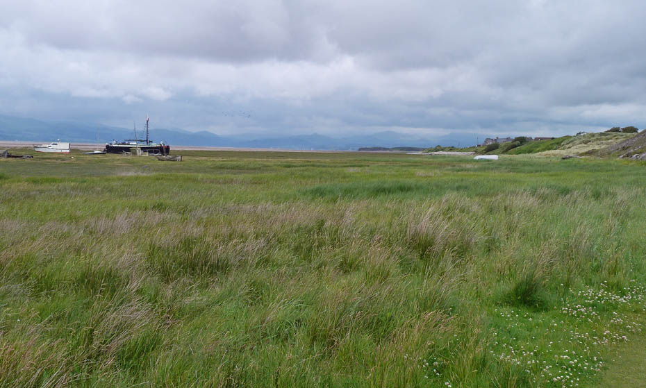
I took a wander across the salt marsh, risking wet feet to have a look at this vessel.
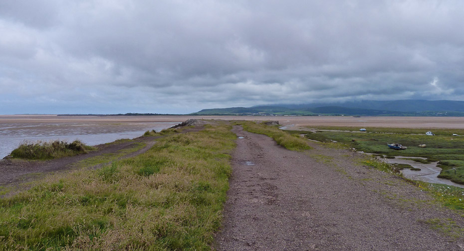
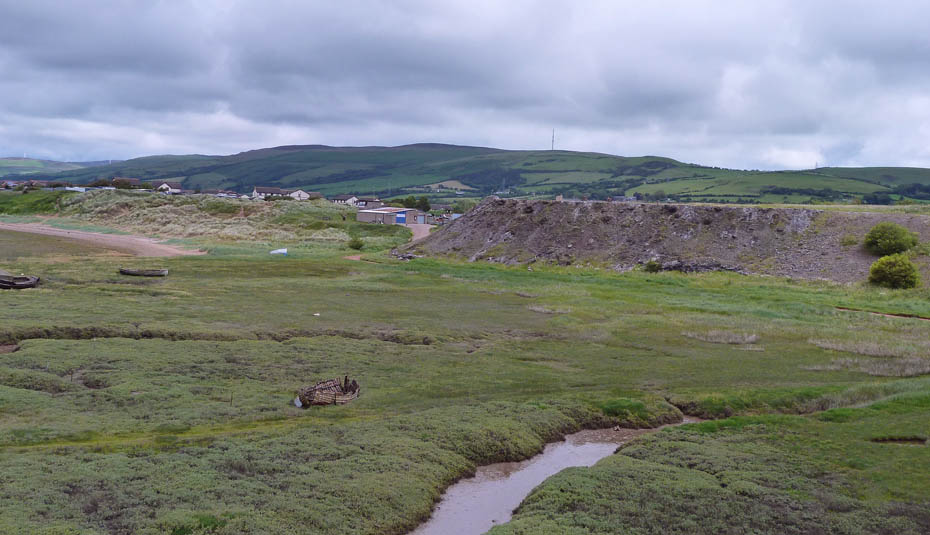
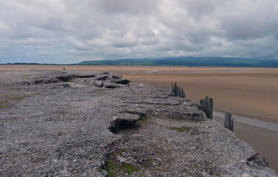
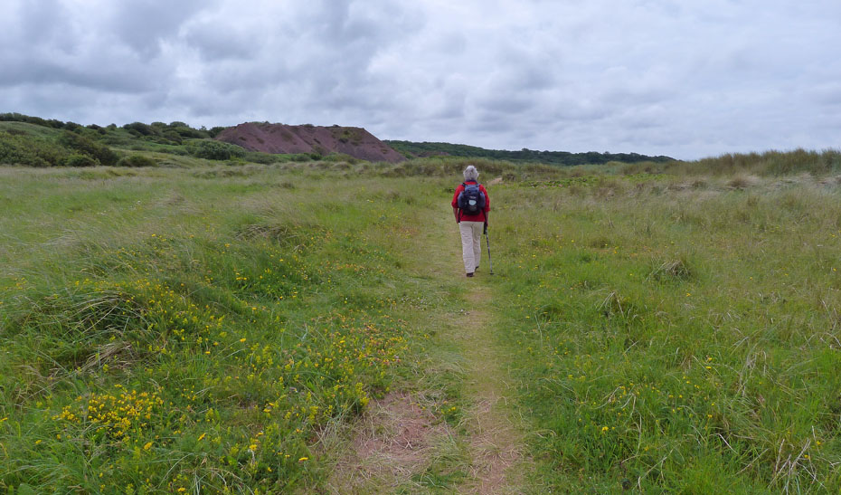
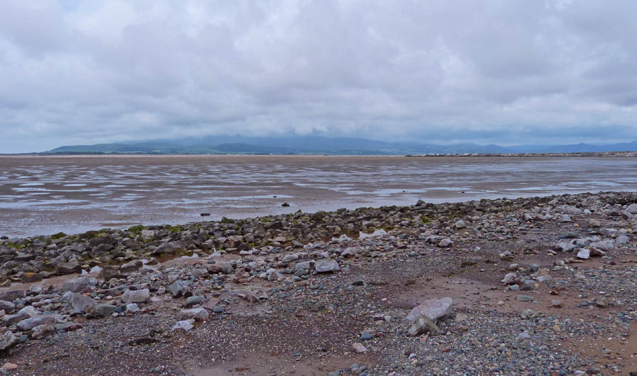
A short walk southwards took us to Askam Pier a rather glamorous name for what is basically a slag heap from the Ironworks. I'm not sure exactly when it appeared but I have found a map of the area dated 1892 and it isn't shown but does appear on one dated 1919. The pier is almost 0.4miles in length and at its widest part around 350feet across.
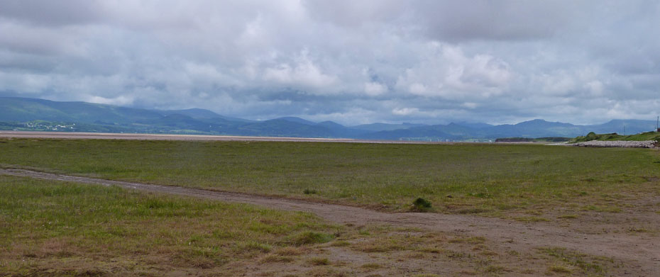
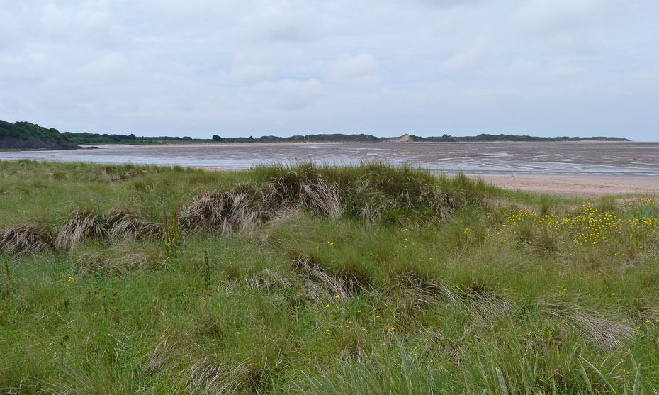
Looking up the Duddon Estuary to the Southern Fells of Lakeland.
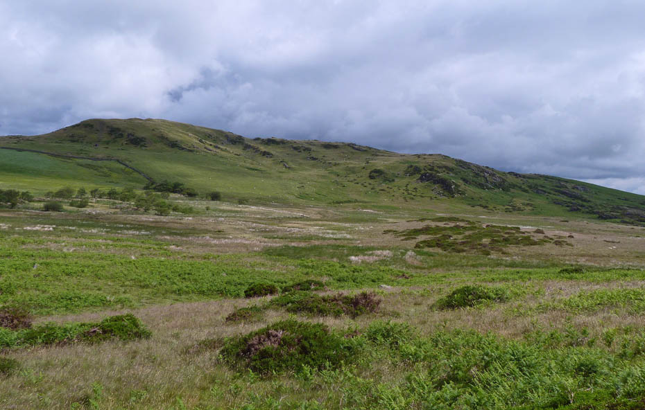
Looking over to Bank House Moor....I think.
Caw and cloud-topped Conistons.
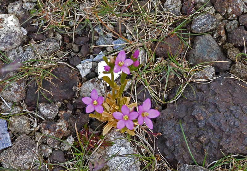
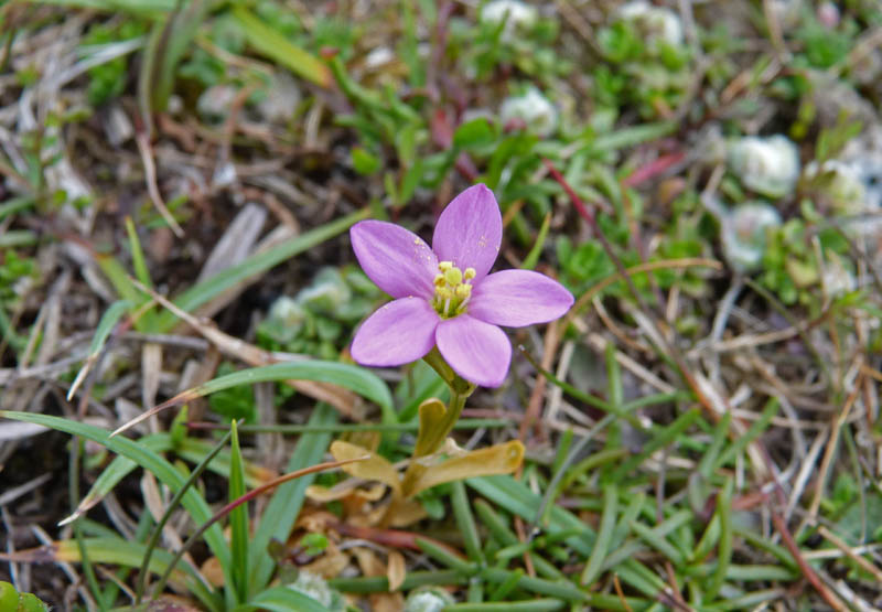
A bit blurry as there was a good breeze blowing across the pier there were small patches of Common Centaury only a few inches in the poor ground.
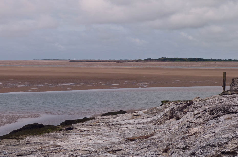
Looking across the Duddon towards Millom and Haverigg.
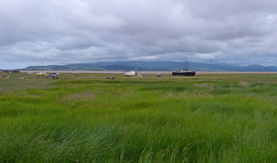
Despite it's industrial background the area is a delight.
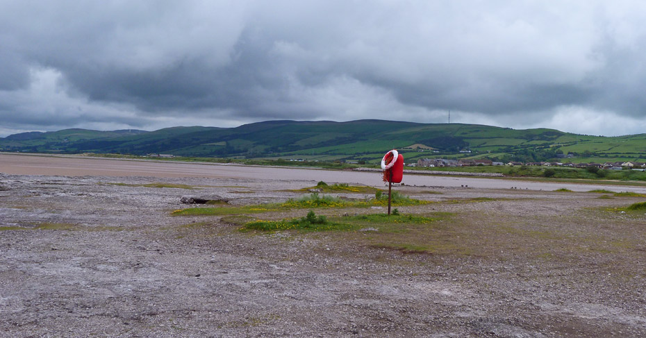
Can't forget Elf & Safety!!
Black Combe is over there somewhere.
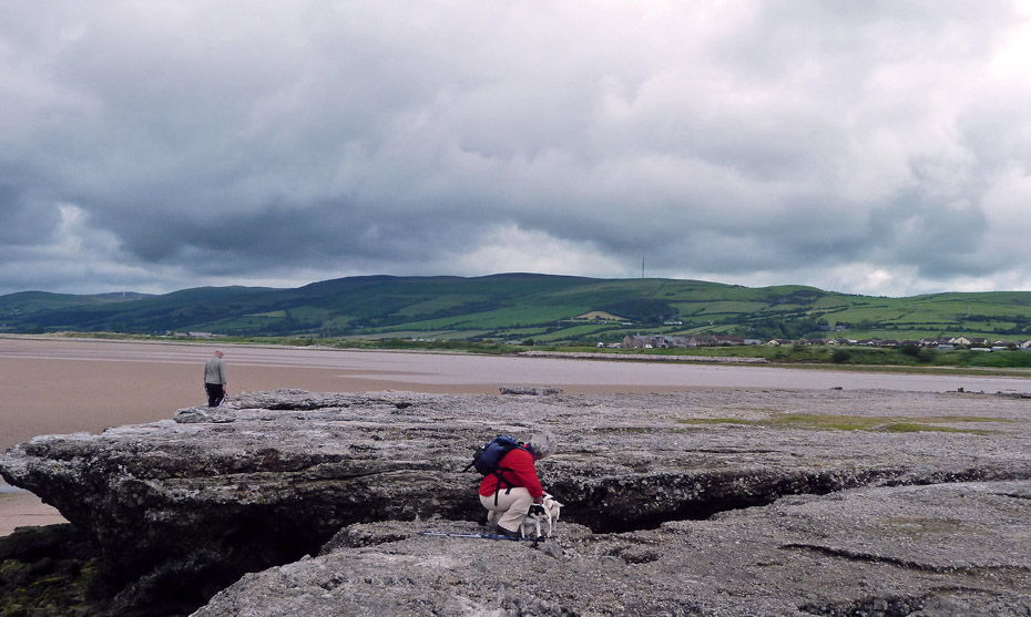
Edith makes friends with a couple of locals.
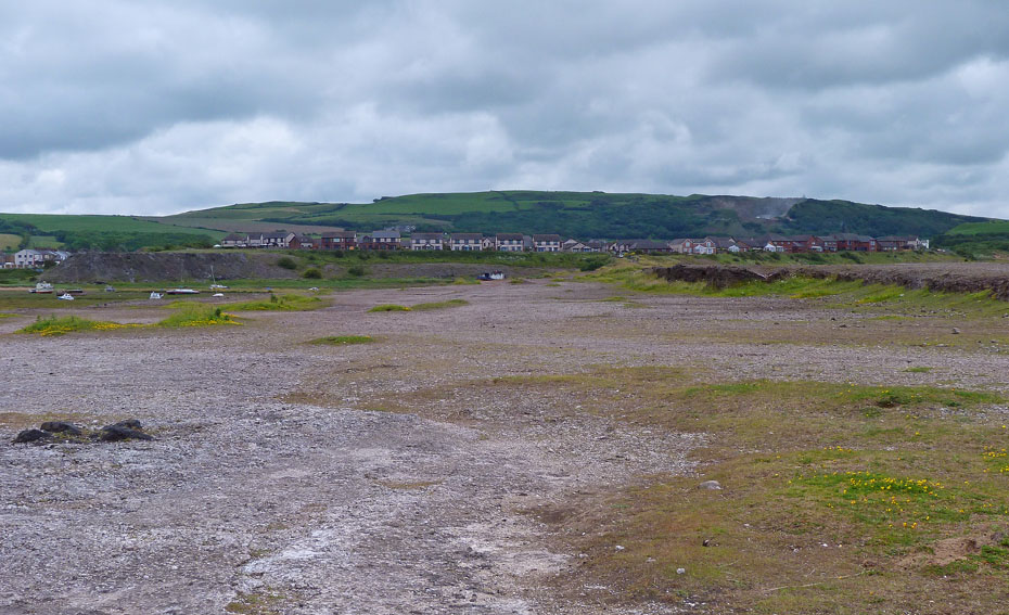
Looking back along the pier to where the Iron Works would once dominate.
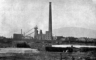
This is a picture of the old Iron Works that I found obviously looking the other way as that looks like Black Combe behind it.
Southern Fells
As we walked back along the pier we cam across...
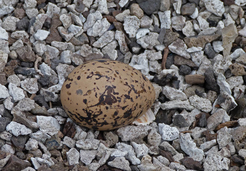
A solitary Oystercatchers egg. The local gent with the dogs saw us looking and came across. Apparently there had been originally three. He wasn't sure if the Oystercatcher had been scared off by other birds or something else but two eggs had disappeared.
Black Combe is trying its best to give us a show as we return to the shore to continue southwards.
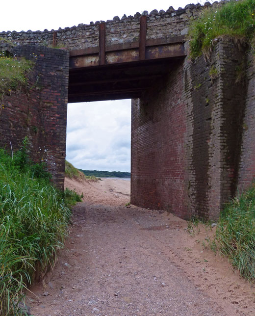
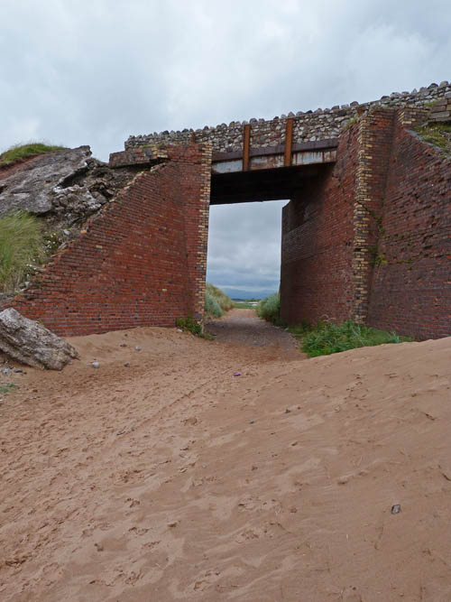
Under the bridge
The "Pier" on this side is more sloped. I don't know whether this was intentional when it was formed or not but I would think that it would have been so as to offer a sea wall effect.
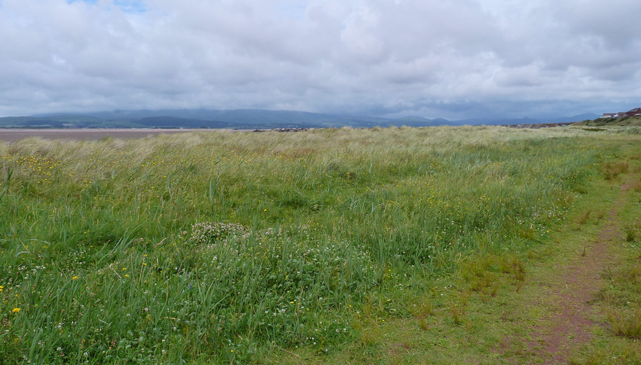
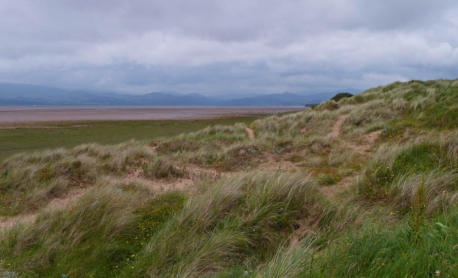
Shortly after passing under the bridge we left the beach to walk through the foreshore.
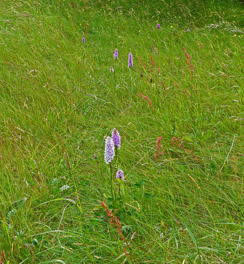
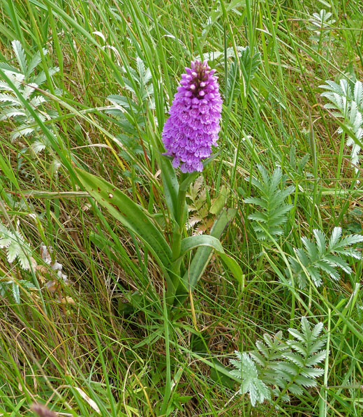
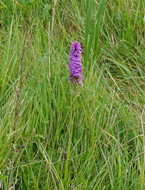
The area was a mass of Orchids....
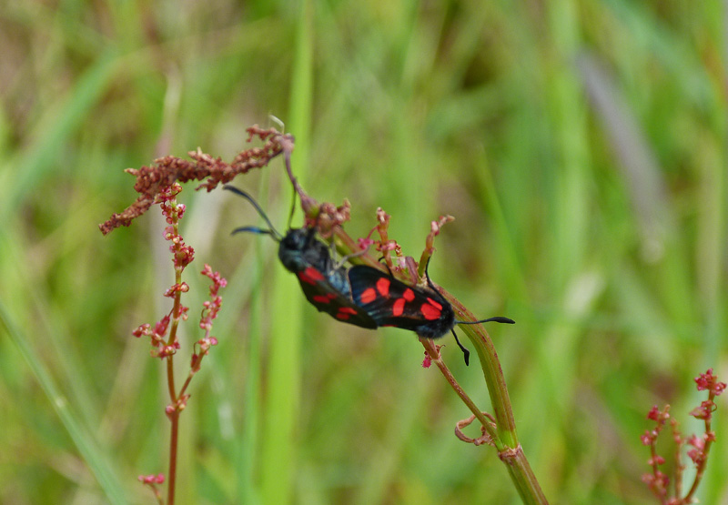
...and home to a number of insects......A Six Spot Burmet I am informed by Rosalie.
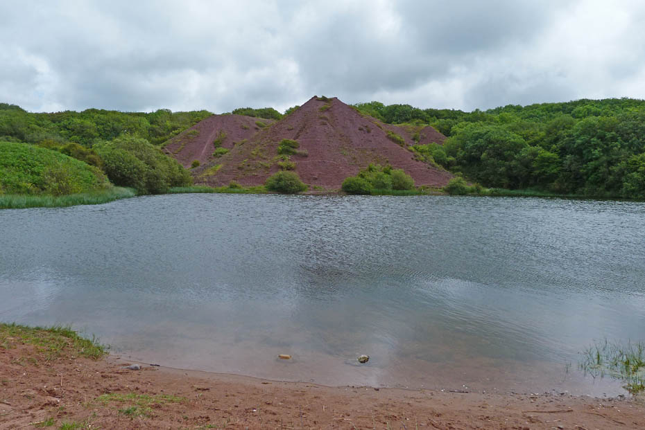
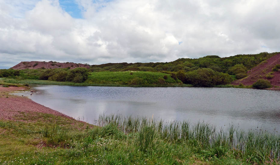
Eventually we arrived at Black's Pond with the old spoil heaps behind.....Just to the right of the 3 bushes at the far side....
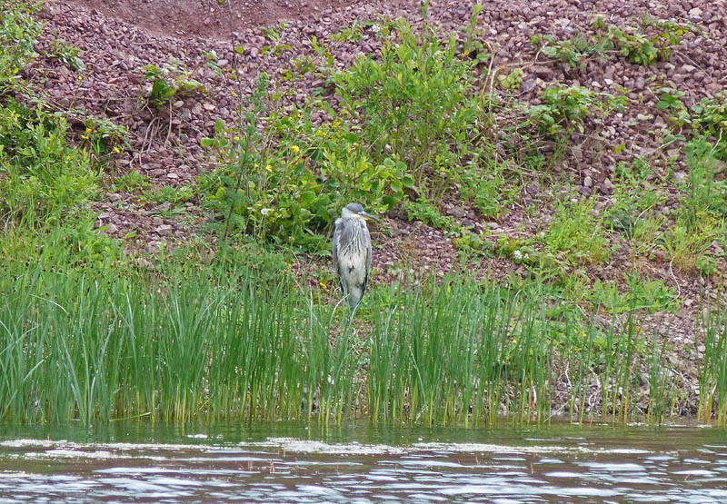
.....was an heron having a quiet rest.
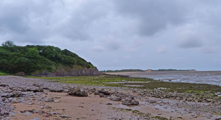
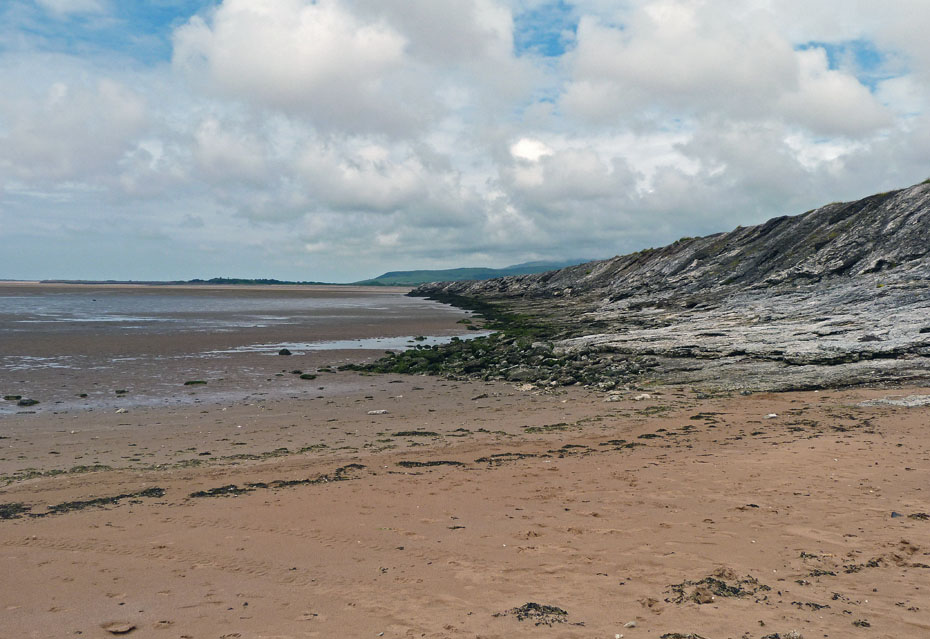
Back on the beach now and with Roanhead Crag to the left. In 1969 we carried on past here to eventually end up in Barrow. Today however this was our turning back point.
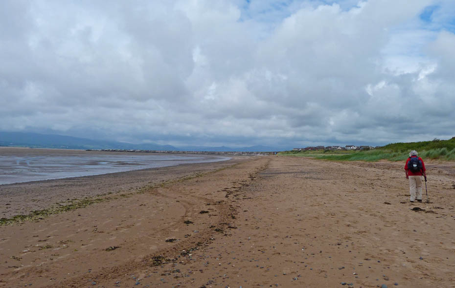
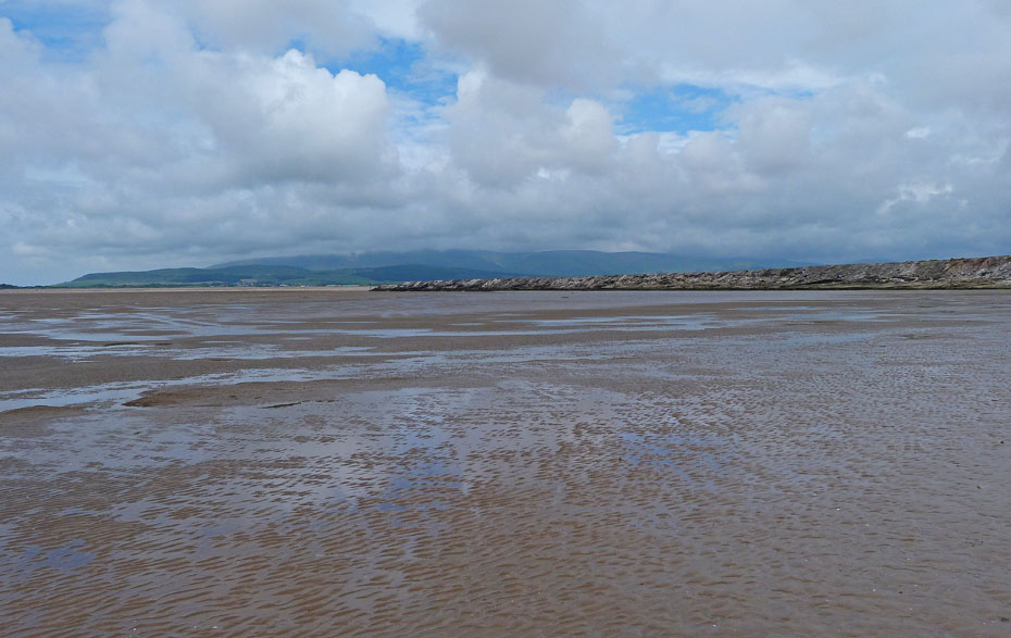
The return was along the beach.
This looks familiar.
Lakeland is still teasing us, hiding her delights under a mantle of cloud. The outcrop in the distance is Dunnerholme.

A sit down near the IRB station and wondering where 42 years went.
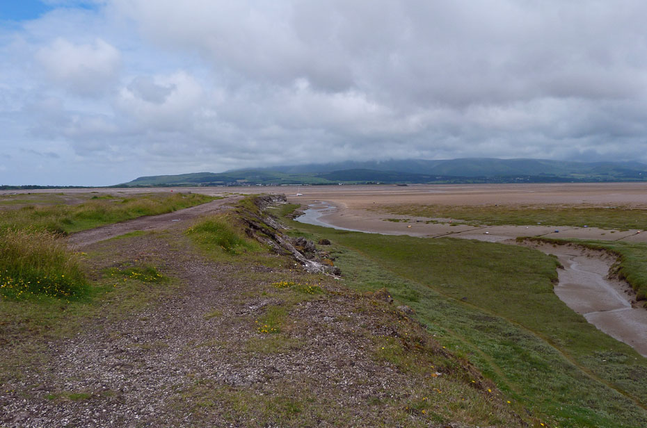
The Cumbria Coastal Way continues on past the IRB station and around the estuary.
Next Walk: 24th June 2011 - South Cumbria - Hodbarrow Nature Reserve.
Last Walk: 20th June 2011 - Lake District - Hugill Fell and Reston Scar with Jess
Do you have a Facebook or Twitter account? We post regular updates on both plus some additional pictures. Just click on either of the links below and add us.
![]()

We hope you have enjoyed viewing this walk. If you have any comments please sign our Guestbook or E_Mail us.
