
| Area: | Yorkshire Dales | Ascent: | 1030feet |
| Walk No: | 564 | Time: | 5hours |
| Date: | 3rd July 2011 | Parking: | Roadside |
| Distance: | 7.75miles | Weather: | Fine & Sunny. Very warm |
For those of you that are thinking of going onto the hills I would strongly recommend that you read the advice given by the Mountain Rescue organisation of England and Wales. To read this advice, which will open in a new page please click HERE. If you would like to make a donation to the Mountain Rescue organisation which is purely voluntary please click HERE. Please make the time to read the advice page.
---------------------------------------------------------------
We fancied a walk in the Dales today but wanted to avoid the crowds which isn't an easy thing to do particularly on a very nice Sunday in July. However with an early start we managed to do so. Apart from a 10 minute spell when we came of Twistleton Scar End to visit the ice-cream van at the top of the Ingleton Waterfall Walk the only person we spoke to all day was the farmer at Braida Garth farm.
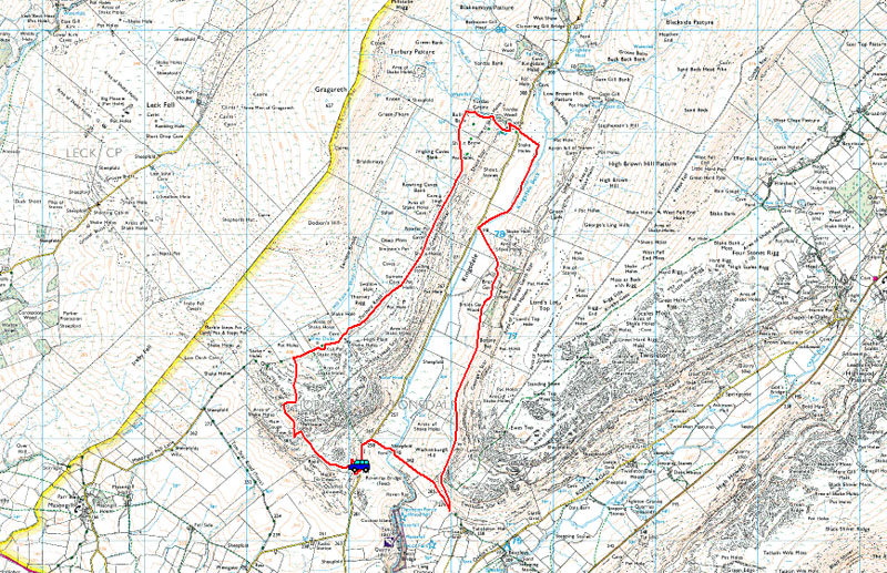
Route Map
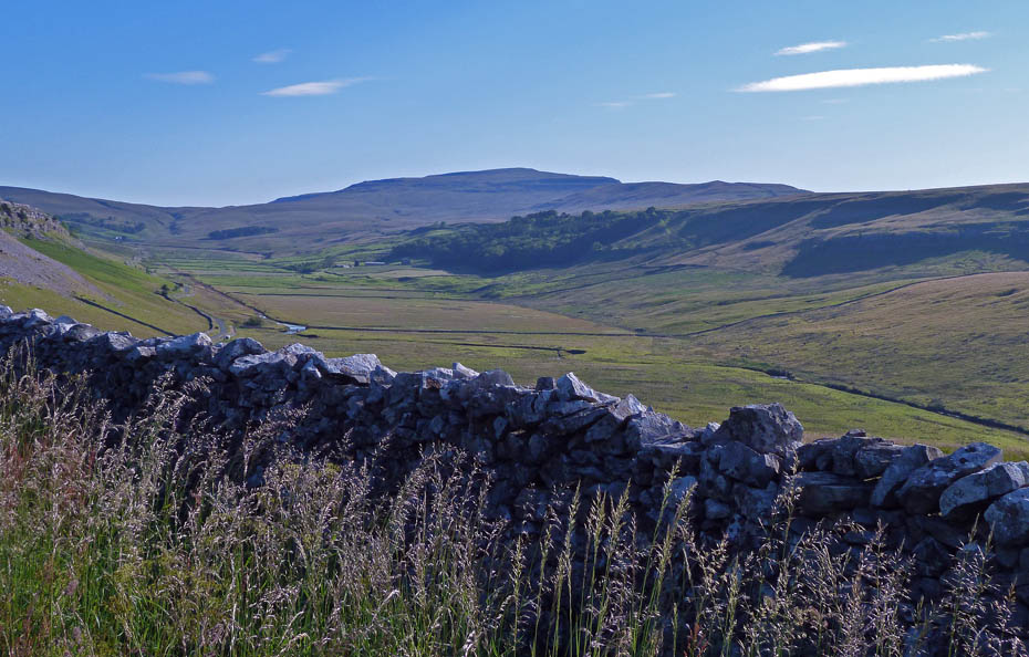
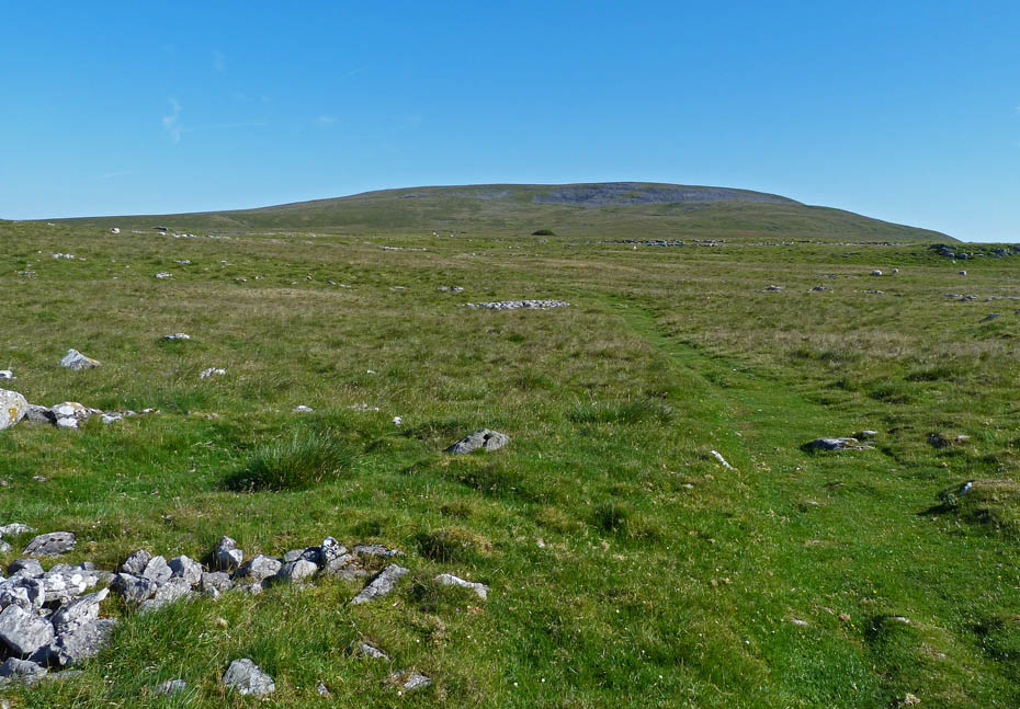
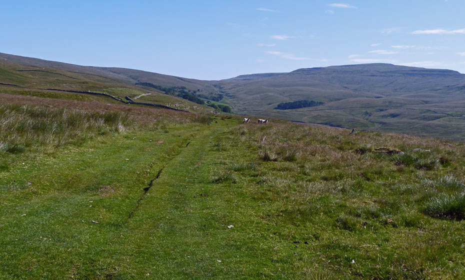
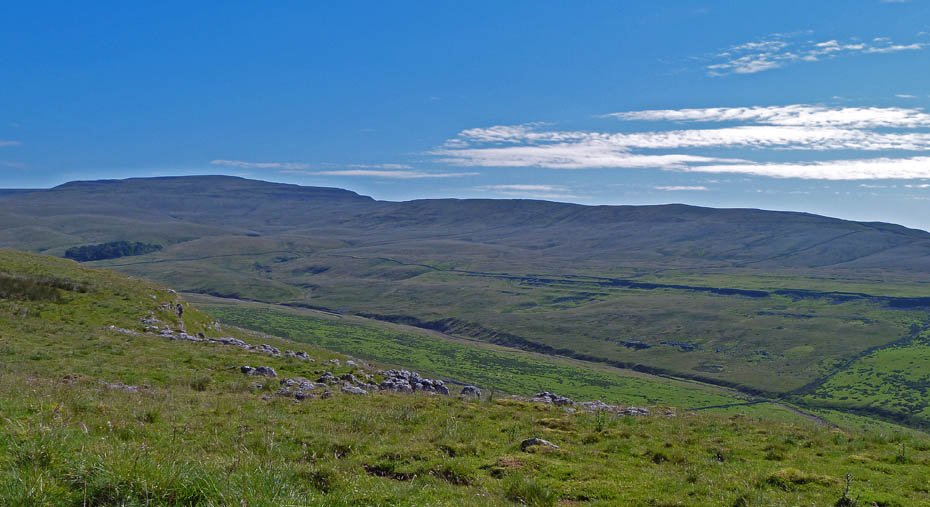
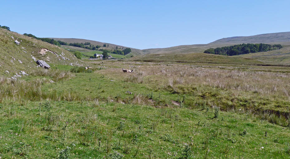
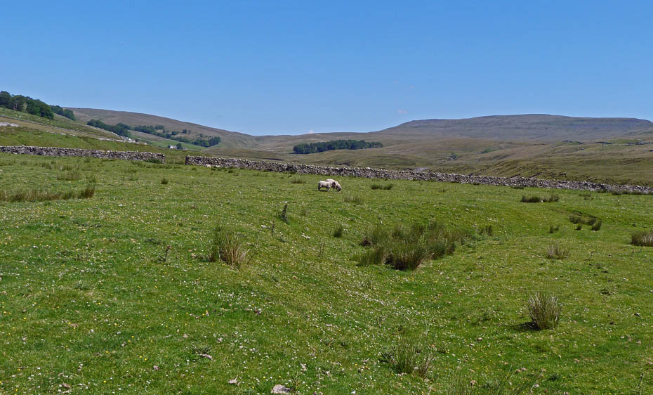
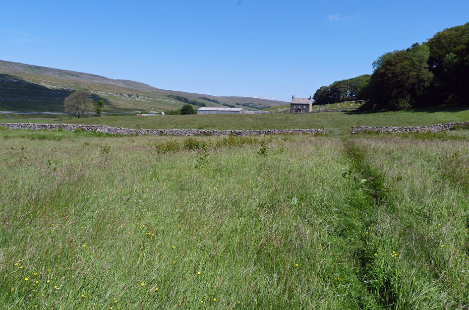
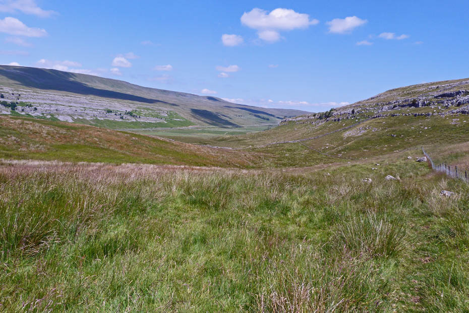
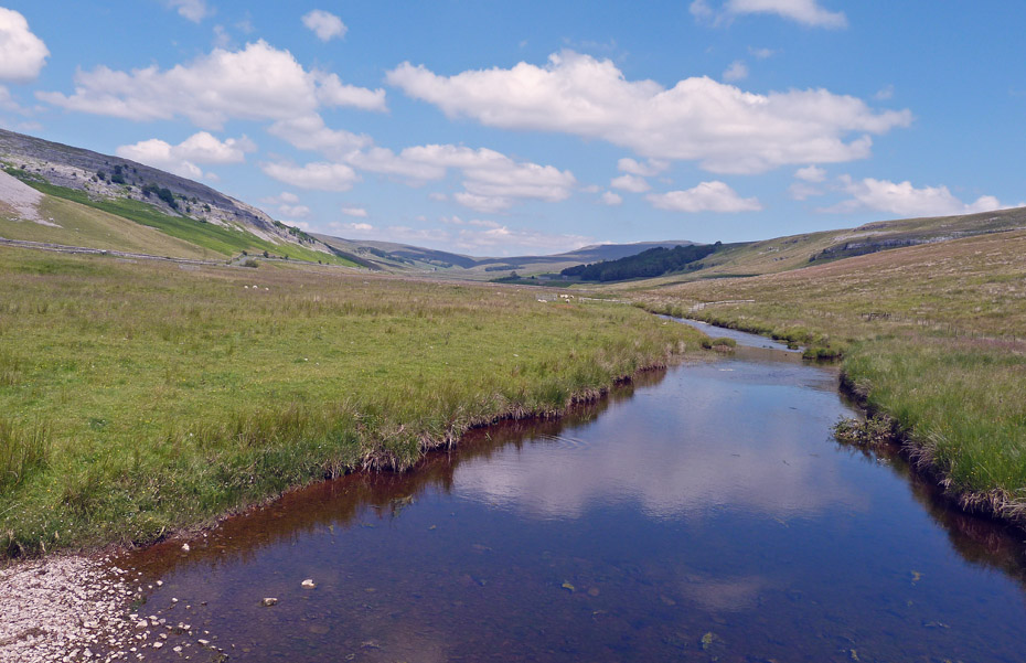
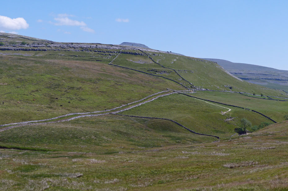
Looking along the valley of Kingsdale with Whernside in the distance.
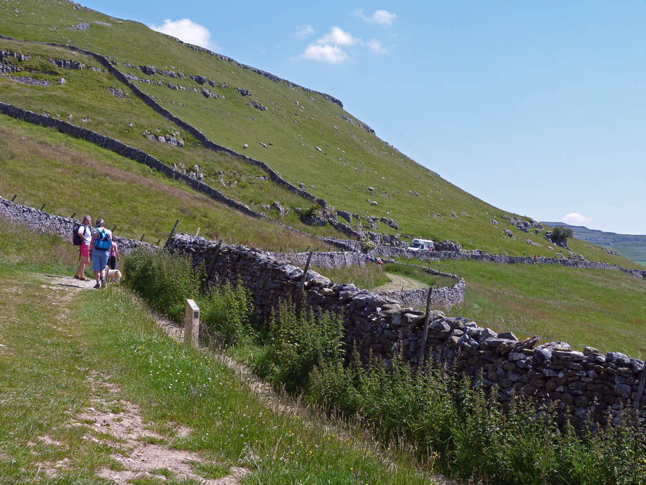
We had left the car in a space at the roadside and were soon walking along a good path towards Tow Scar. It was a beautiful morning but at this point I was getting a bit of interference from the sun when taking pictures.
Again looking up the valley towards Whernside with the farm at Braida Garth which we would walk through later below.
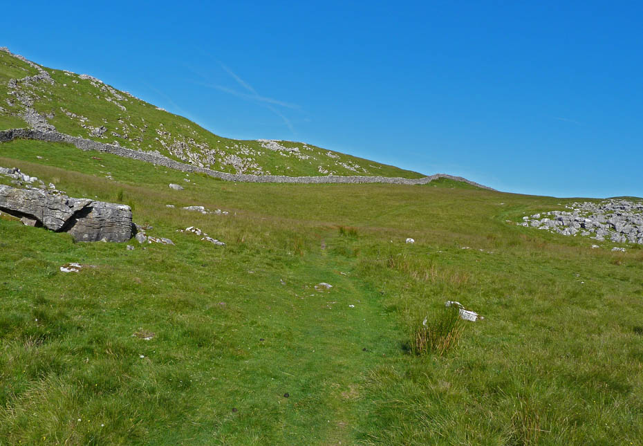
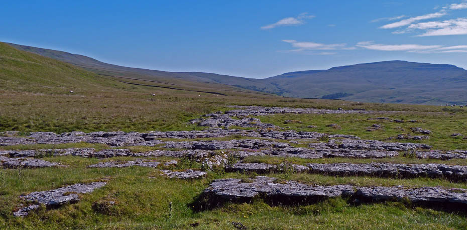
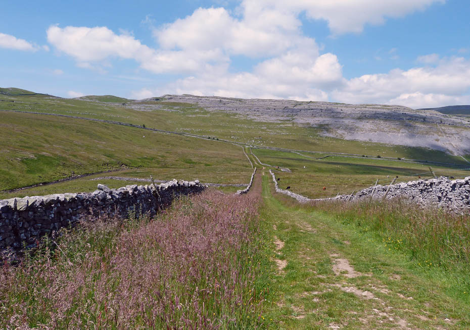
The walking is easy and there's plenty of limestone scenery to admire along the way.
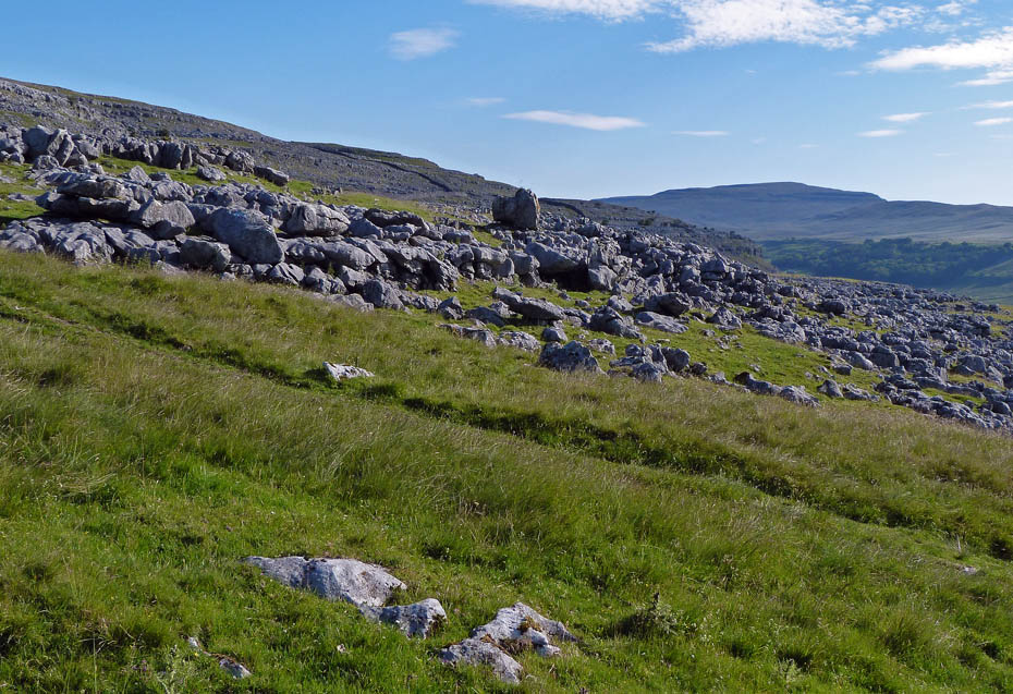
Tow Scar ahead. The path runs through the dip to the left. We will follow it a little further before heading for the top.
A look S'wards to the Forest of Bowland as we make our way to Tow Scar.
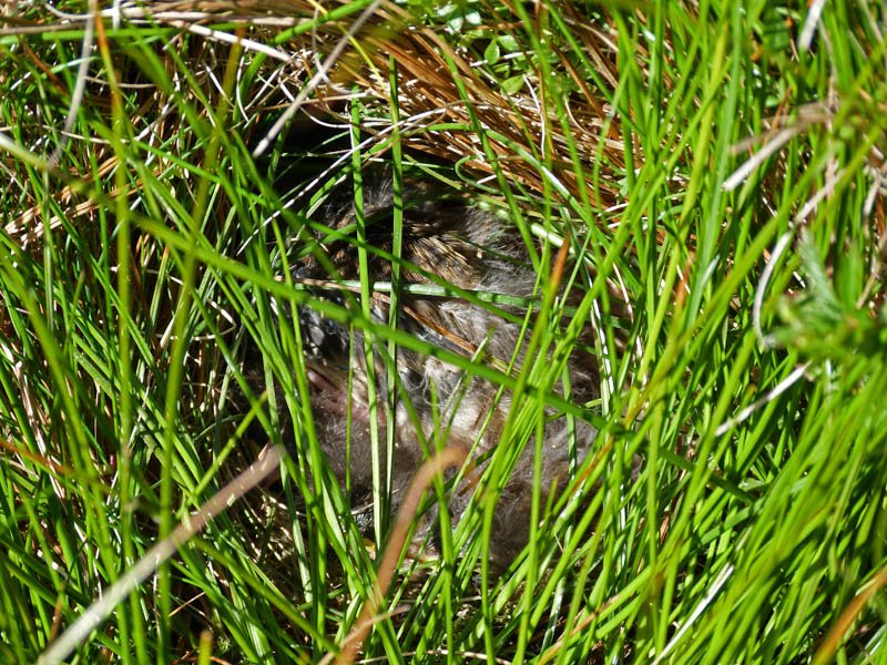
We nearly stood on this nest hidden in the long grass. Not sure how many chicks inside as we didn't want to disturb it further.
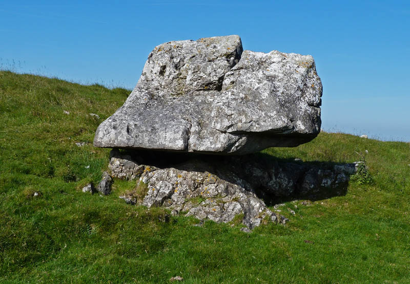
One of natures balancing acts.
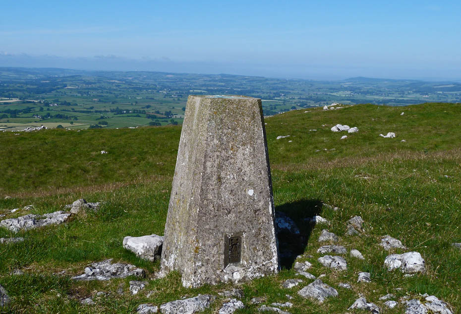
Tow Scar summit trig point. I could just make the Power Stations at Heysham out about 1" to the left of the trig point.
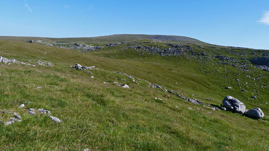
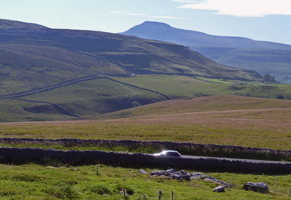
Our way ahead, with the southern slopes of Gragareth in the distance.
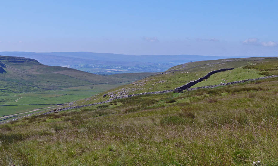
Soon we will meet a path running from left to right....the Turbarry Road.
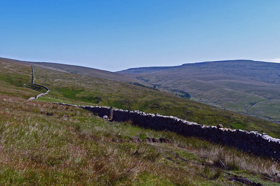
We are now on the Turbarry Road.......Turbary is the ancient right to cut peat and the Turbary Road which runs along the lower slopes of Gragareth and above the valley of Kingsdale was used to access the areas used to cut peat.
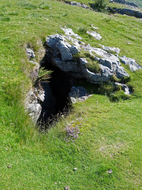
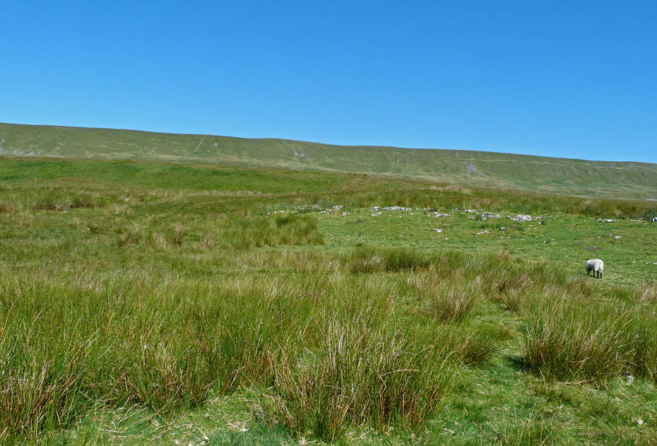
This area is littered with Shake Holes, Caves and Pot Holes. This is the rather picturesque entrance to Kail Pot.
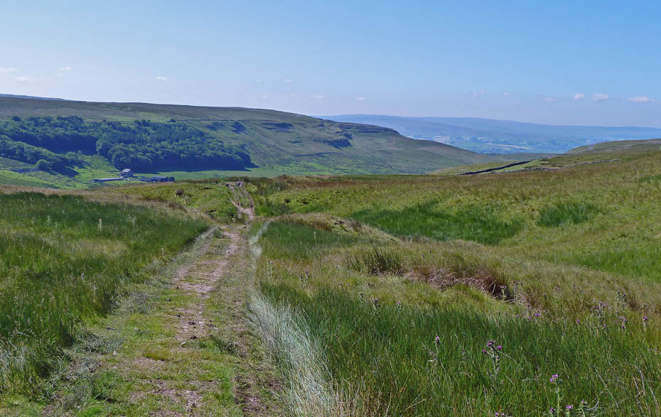
As we head along the shelf above Kingsdale looking towards the head of the valley,,,
....we are heading for the trees on the left in the distance.
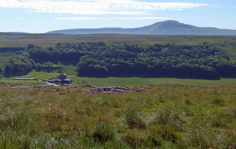
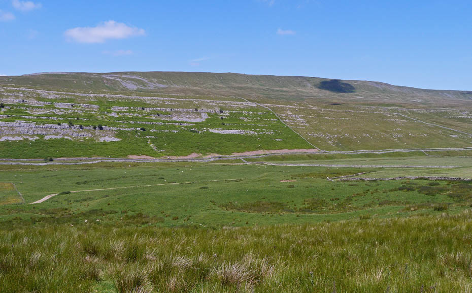
We are now above Green Laids Scar with Braida Garth below us and Ingleborough over West Fell.
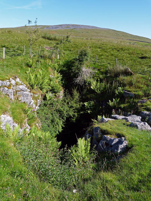
The collapsed roof of an underground cave system known as Rowten Pot. We could hear the water flowing below.
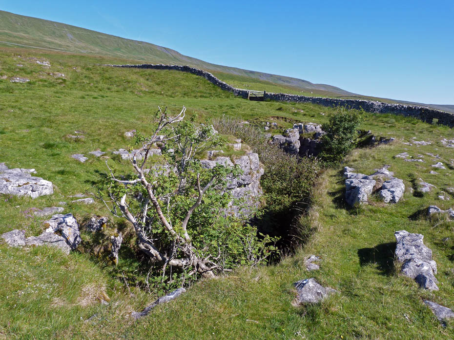
Rowten Pot.....It is one of the entrances into the West Kingsdale System. Rowten Pot is almost completely vertical, dropping 105 m in total. The main pitch alone is ~50 m high.
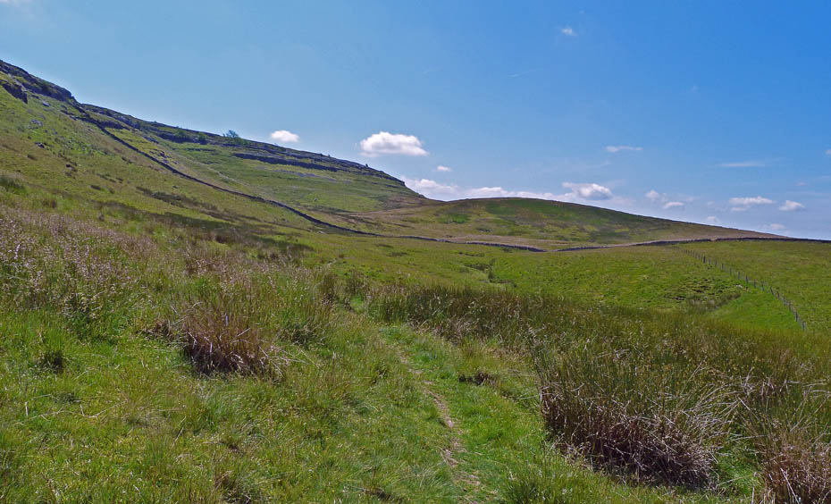
Looking up to Gragareth.
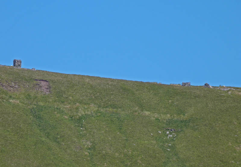
A big zoom picks out what looks like a cairn on the slopes of Gragareth which is actually a fine set overlooking Kingsdale.
Onwards we go!
A look back along the valley with Twistleton End to the left.
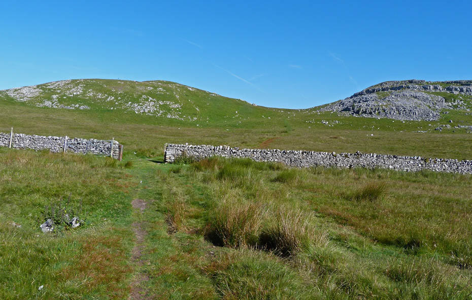
Another look back as we reach our highest point of the walk on Bullpot Bank.
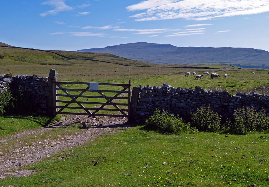
We leave the track here to go through the gate in the wall and to descend into the valley.
Descending to Yordas Cave.
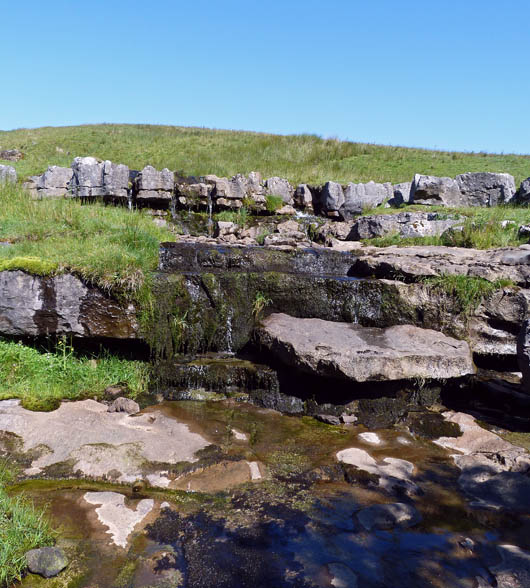
The waterfalls above the cave have barely a trickle coming down today...
....but still make a grand place to stop for our butties.
Butties eaten we carry on down to the cave.
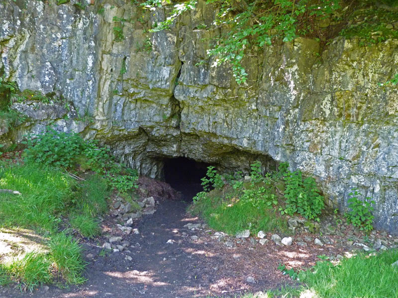
This is the entrance to Yordas Cave.....please note the cave is on private land so respect at all times. This was a popular showcave on the 19th Century tourist itinerary. I don't know why it closed (for paying guided tours, anyway – it's still fully accessible, for free), but the only visible remnant is a stone step at the entrance. We didn't bother going in today, I didn't have a torch and I was only in shoes and it looked quite muddy in the entrance.
From the cave we crossed the road to take a path down the valley alongside Kingsdale Beck.
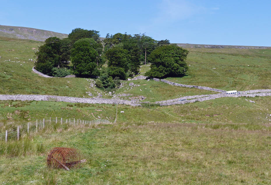
A look back and a mini-bus of youngsters have just arrived with the full gear on to have a look in the cave.
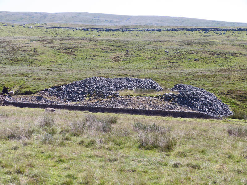
This ancient cairn is known as "Apron full of stones".....it and the area around it have been the subject of a number of excavations over the years.
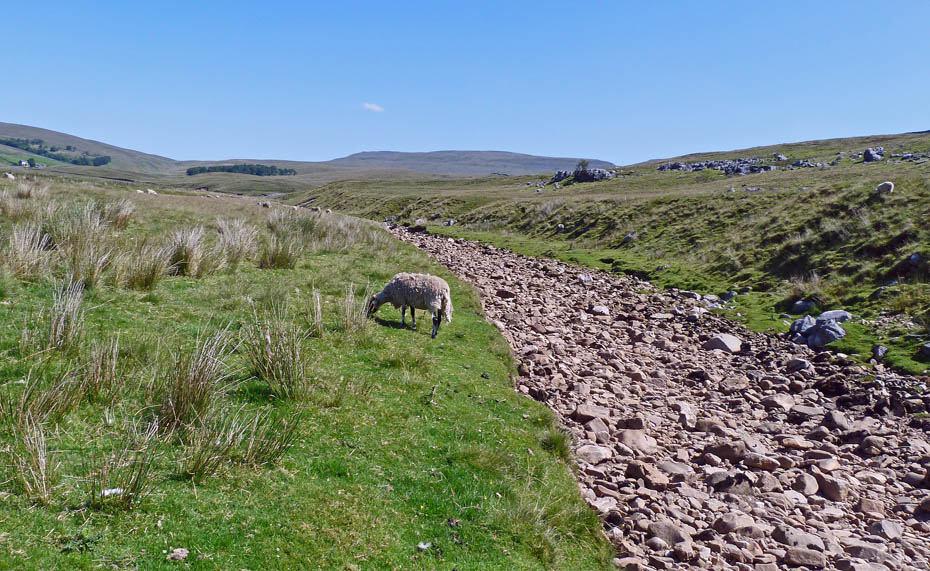
The beck is dry, any water is under the stones.
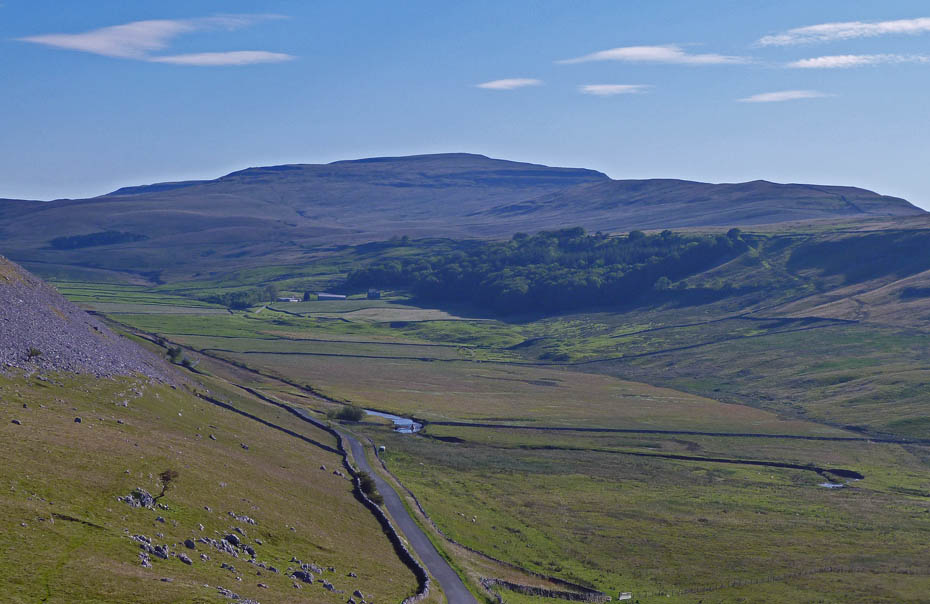
Looking back up Kingsdale.
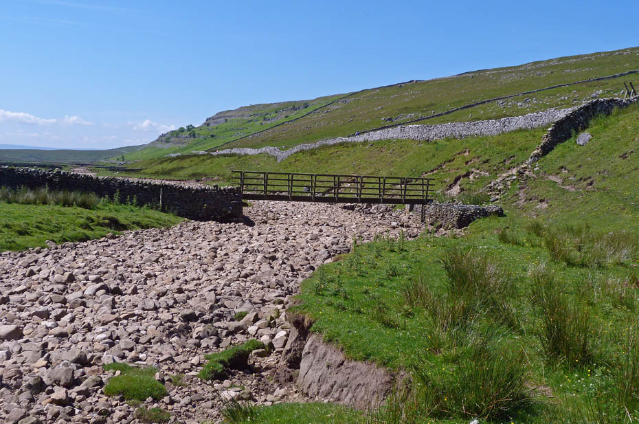
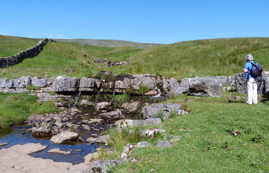
By rights the path we have been on comes out on the road where a walk of a few yards brings you to the footbridge. However with the wall by the footbridge being down it is easier just to carry on along the beck to the footbridge.
A look back as we make our way to Braida Garth farm.
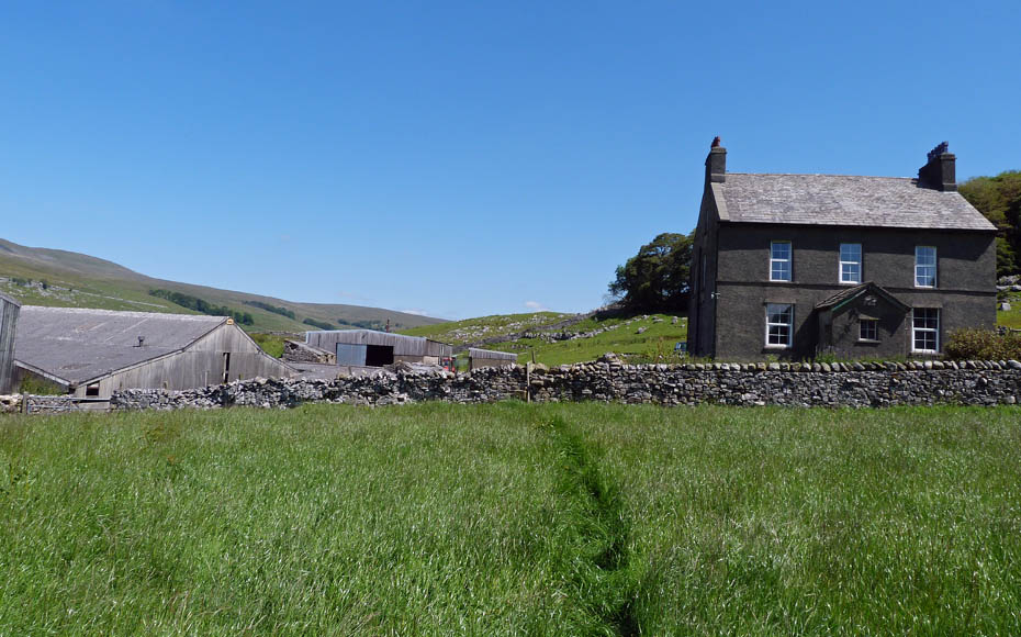
Braida Garth farm...Apparently around 1890 the guide for Yordas Cave lived here and charged the princely sum of two shillings for his service.
From Braida Garth our route took us through a couple of fields below Braida Garth Wood.
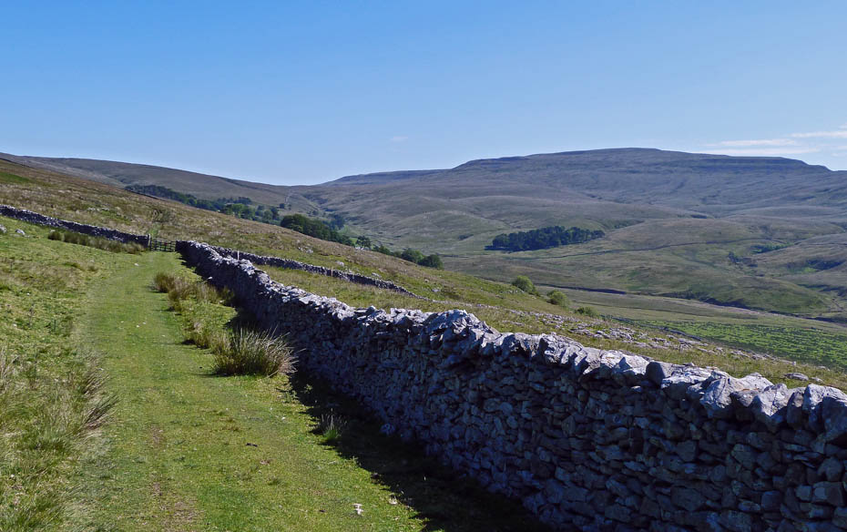
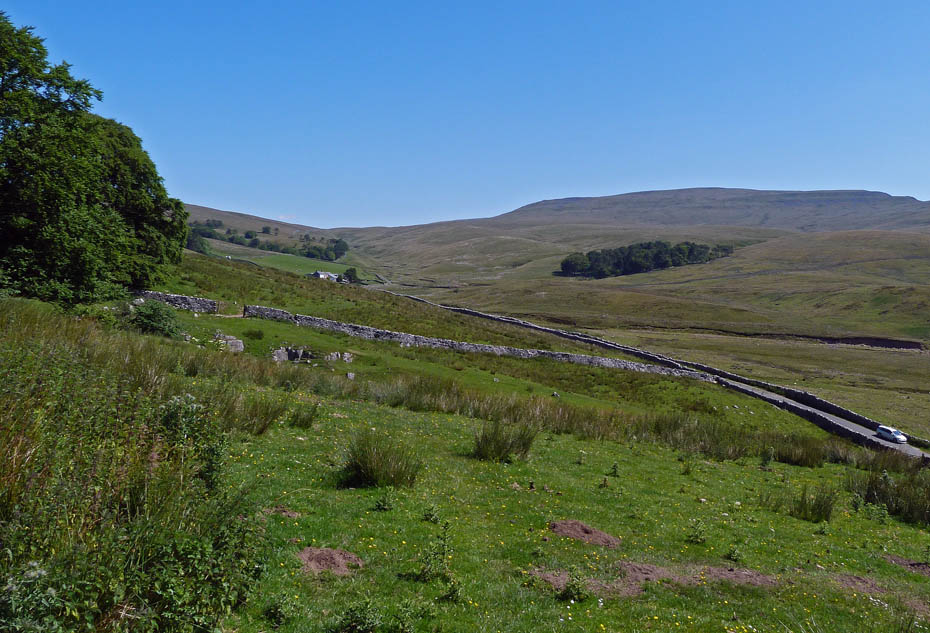
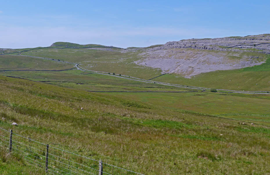
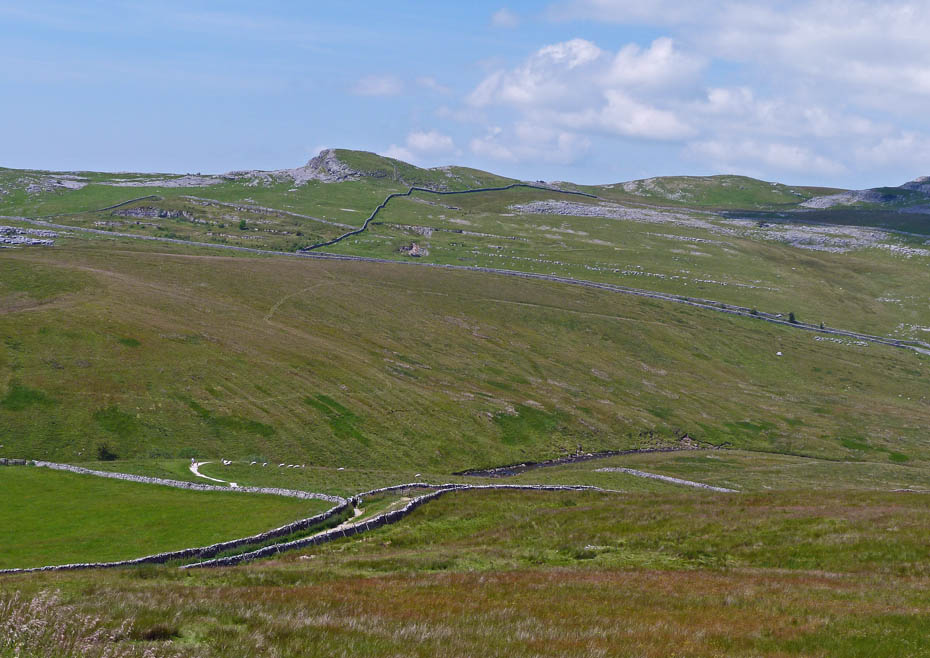
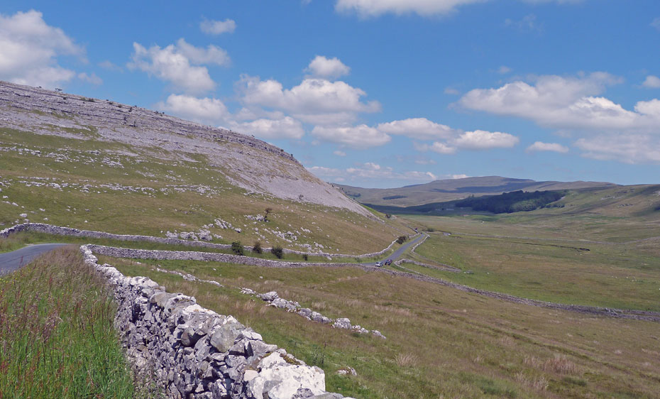
Looking across Kingsdale to Gragareth. The Turbary Road follows the shelf above the scars.
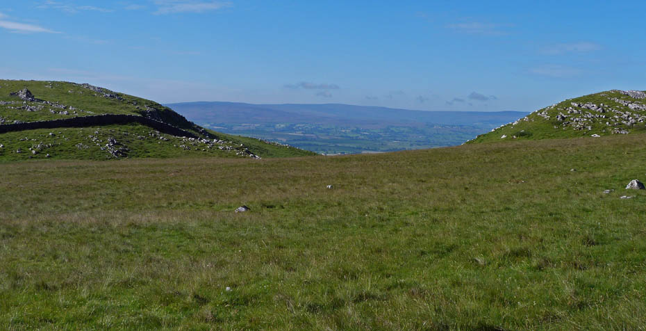
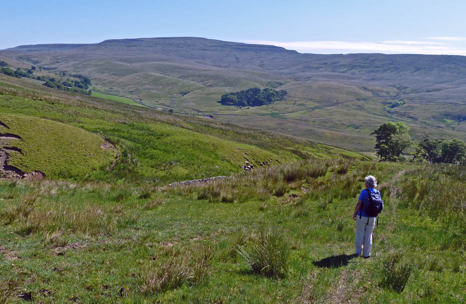
Looking down the valley towards our starting point.
Our route ahead passes below St George's Scar towards Twistleton End and Wackenburgh Hill. By now it was very warm and something cool was needed.
A look back as we reach Wackenburgh Hill....
From here we could have cut straight down to join the lane below and back to the car....
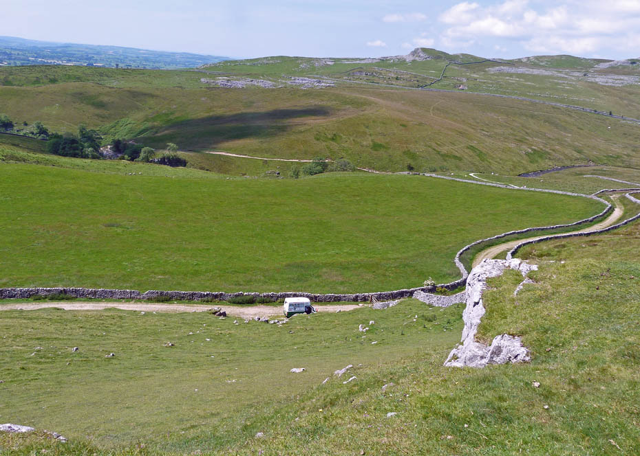
....but it was so warm we decided to risk the crowds and go over Twistleton End and down to the Ice Cream van at the top of the Ingleton Waterfall walk.
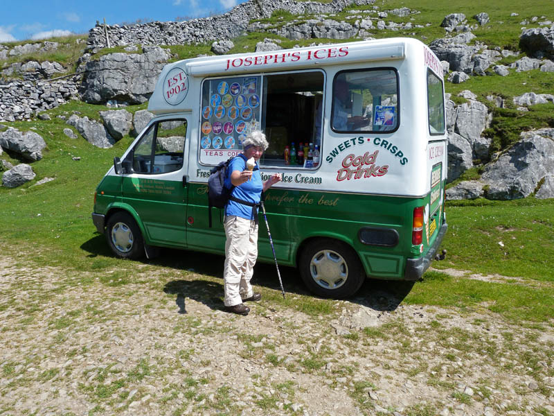
And very enjoyable it was to......or should I say "they were to" ;-)
As it was only around 12:30 we weren't bothered by the crowds from the Waterfall Walk, they would arrive later.
Down we go!!
Looking up the valley from the bridge across the beck.
A look back as we walk back up the road to the car.
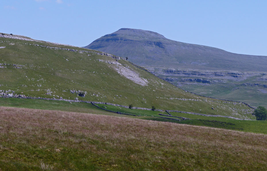
Ingleborough peeks over Twistleton End.
And finally.....back to the car.
Next Walk: 4th July 2011 - Arnside & Silverdale AONB - Arnside Knott
Last Walk: 1st July 2011 - Yorkshire Dales - Along the Lune at Kirkby Lonsdale
Do you have a Facebook or Twitter account? We post regular updates on both plus some additional pictures. Just click on either of the links below and add us.
![]()

We hope you have enjoyed viewing this walk. If you have any comments please sign our Guestbook or E_Mail us.
