
| Area: | Lake District | Ascent: | 840feet |
| Walk No: | 576 | Time: | 3hours |
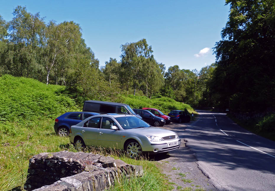
| Date: | 24th July 2011 | Parking: | Roadside at Brown Howe |
| Distance: | 4.50miles | Weather: | Fine & Sunny |
For those of you that are thinking of going onto the hills I would strongly recommend that you read the advice given by the Mountain Rescue organisation of England and Wales. To read this advice, which will open in a new page please click HERE. If you would like to make a donation to the Mountain Rescue organisation which is purely voluntary please click HERE. Please make the time to read the advice page.
---------------------------------------------------------------
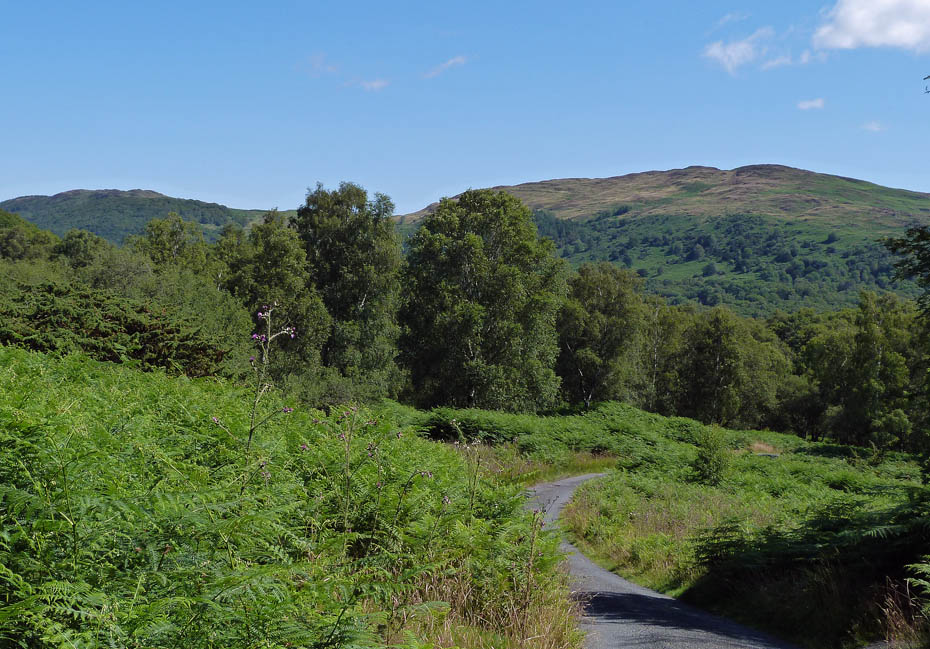
An absolutely glorious morning had us parked up at the roadside opposite the Brown Howe car park just after 9am. After first visiting the waters edge we made our way up the single track lane towards Stable Harvey before leaving the track at a bend in the road to make our way up to Beacon Fell.
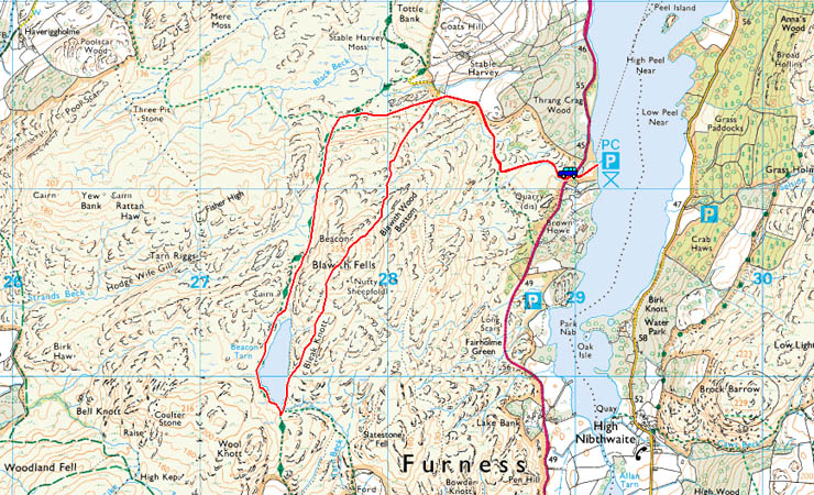
Route Map
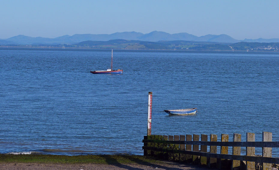
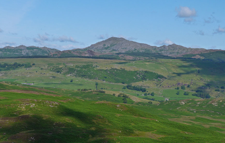
A look across Morecambe Bay to the Coniston Fells from the promenade at Morecambe.
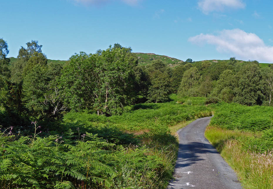
We left the car at the roadside near Browne How Car Park. After taking a walk down to the shores of Coniston Water we made our way along the lane to Stable Harvey.
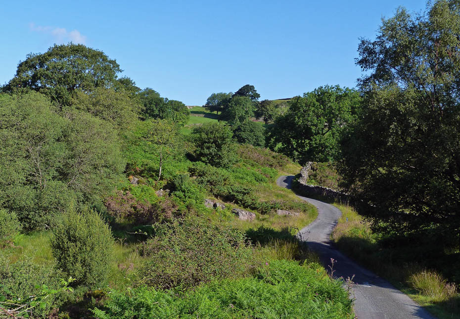
Those with more sense than I will drive up this lane and park higher up.
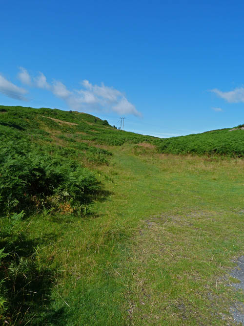
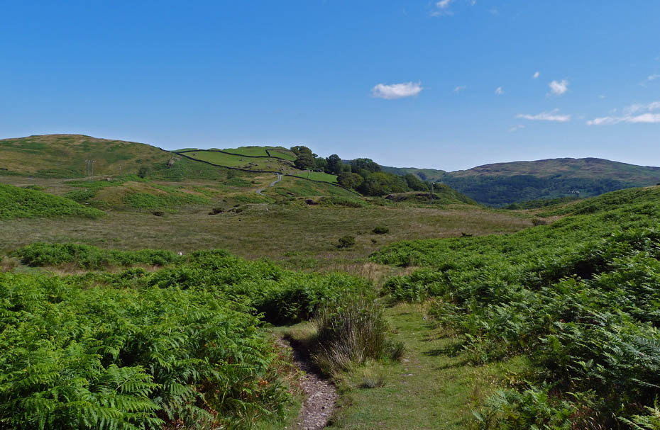
At a bend in the lane with parking for a few vehicles we left the lane on the path towards the electricity cables ahead.
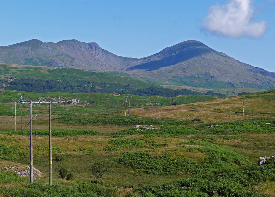
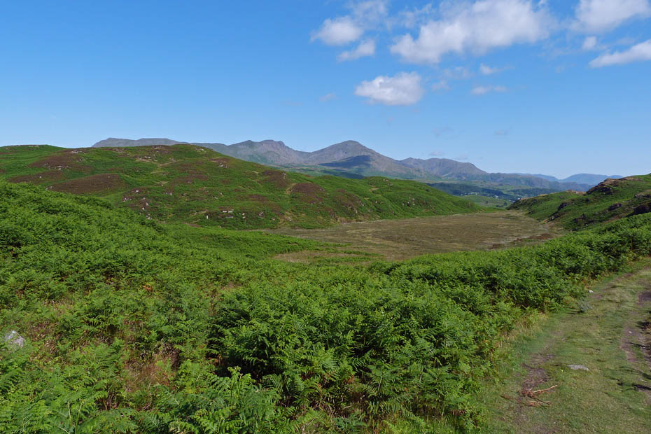
We left the path just before the power lines to turn left and upwards. Within a short time the Coniston Fells were looking magnificent behind us.
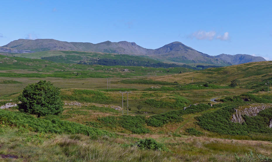
A little higher and a wider view.
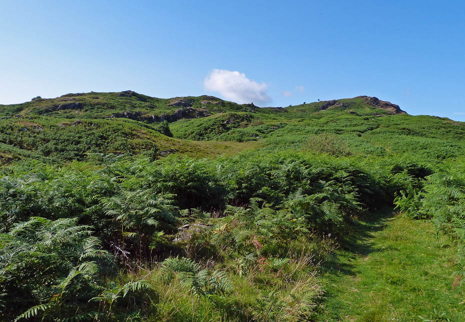
Our way ahead.
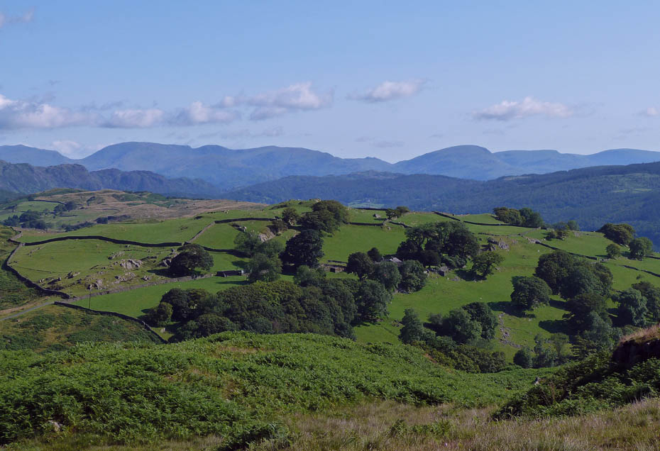
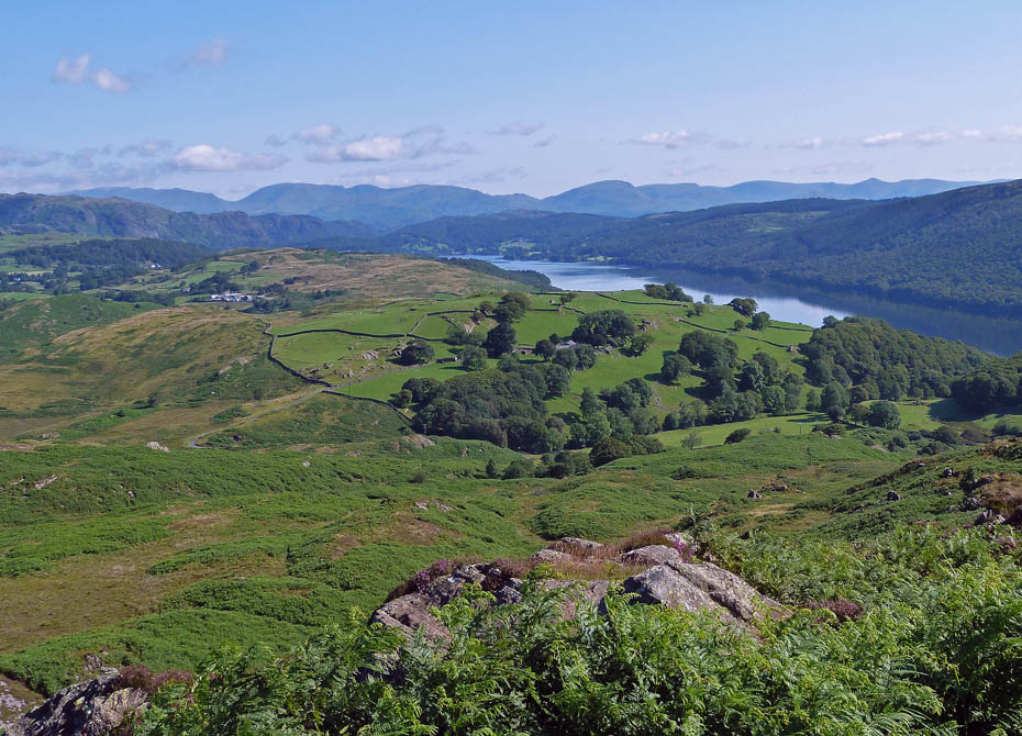
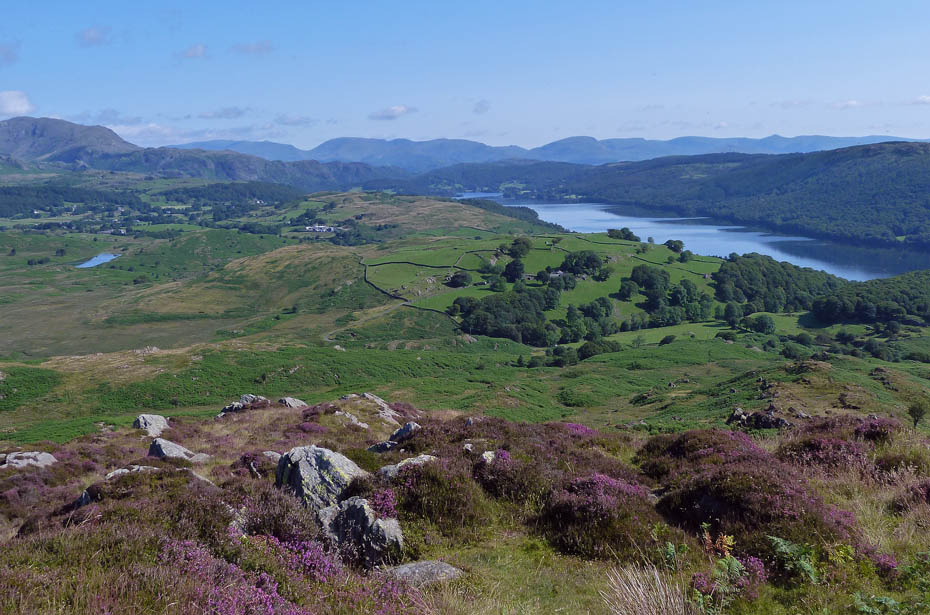
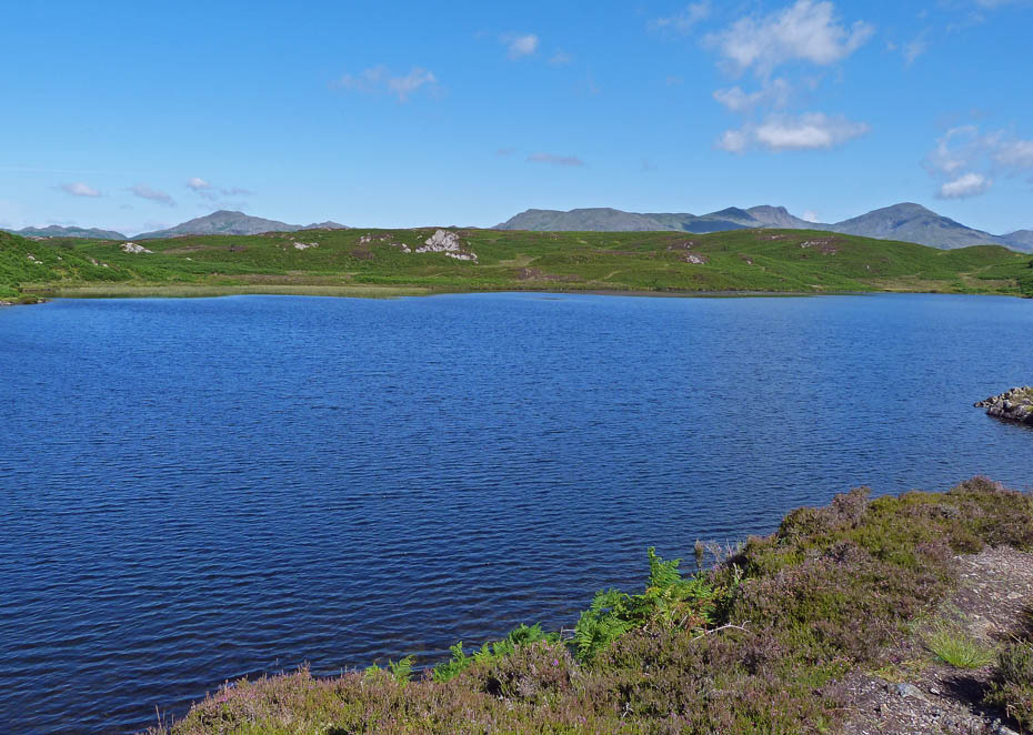
Looking over Stable Harvey and Coats Hill to Helvellyn & Fairfield Fells.
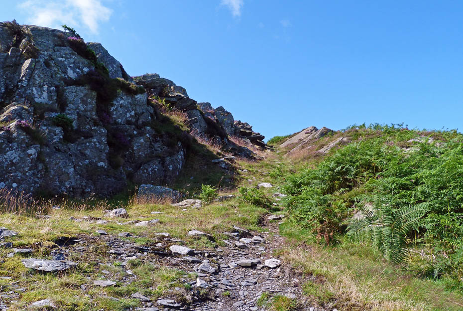
AW's rock gully.
A look back as we reach the top of the gully.
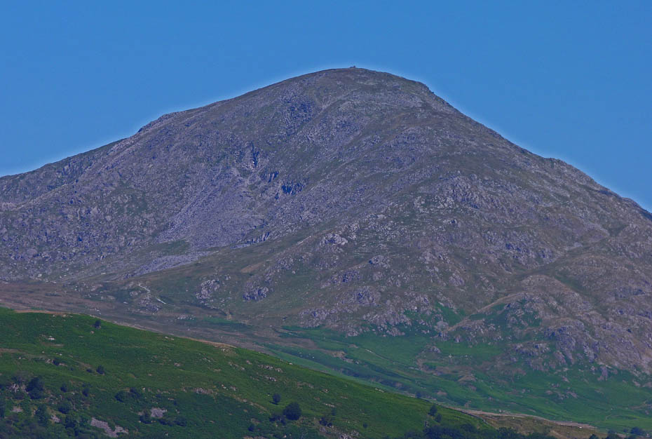
Looking N'wards from the summit.
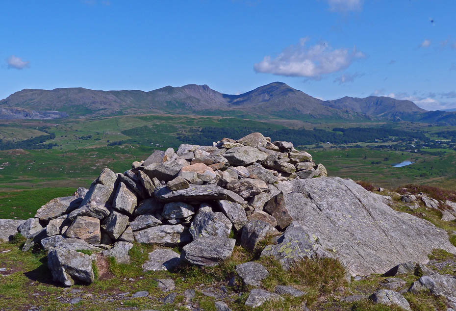
The Coniston Fells over the summit cairn.
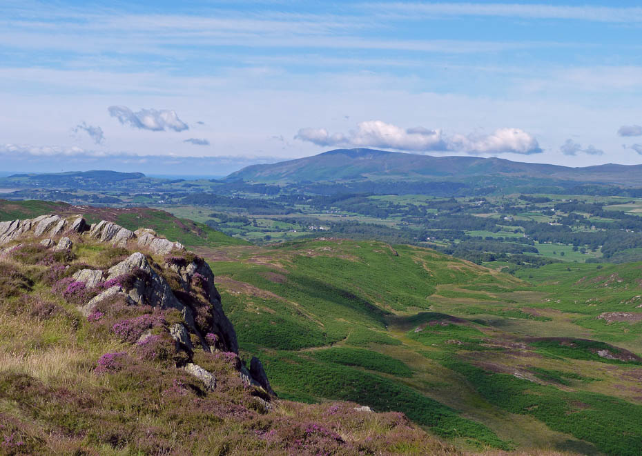
Black Combe
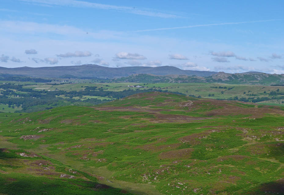
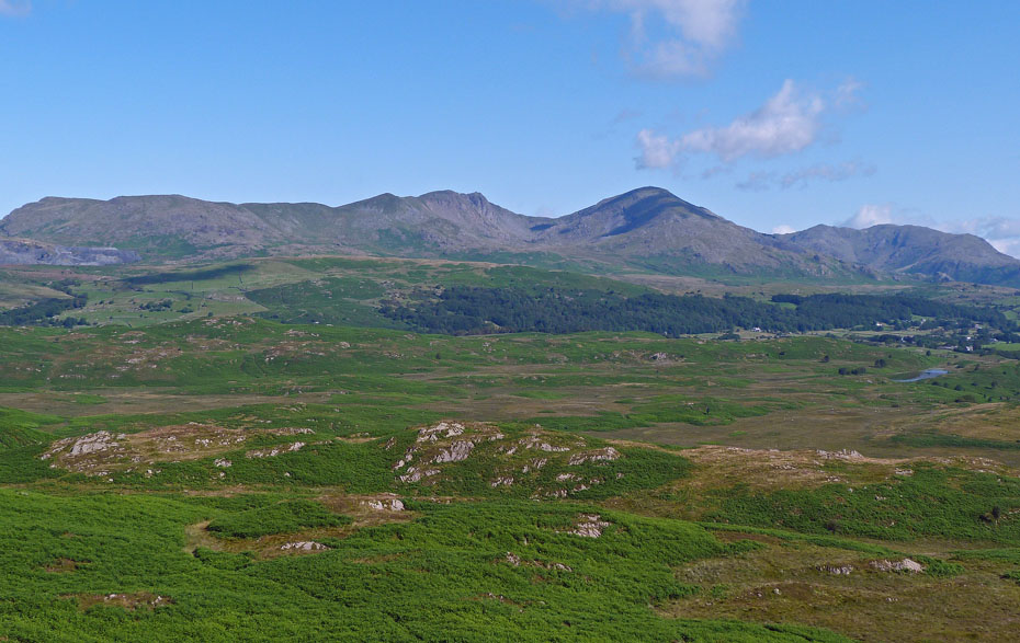
Whitfell and Yoadcastle in the distance.
Caw
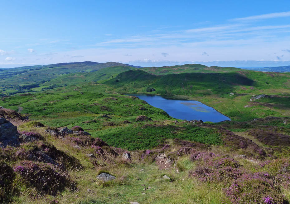
From the summit we made our way down to the tarn.
Wool Knott at the foot of the tarn.
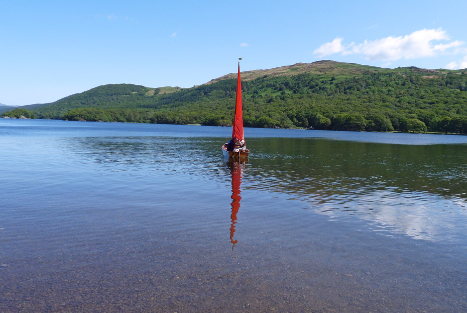
We had seen nobody up to this point and here we saw a couple with their dog enjoying the water.
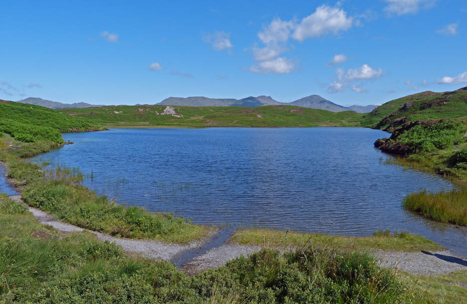
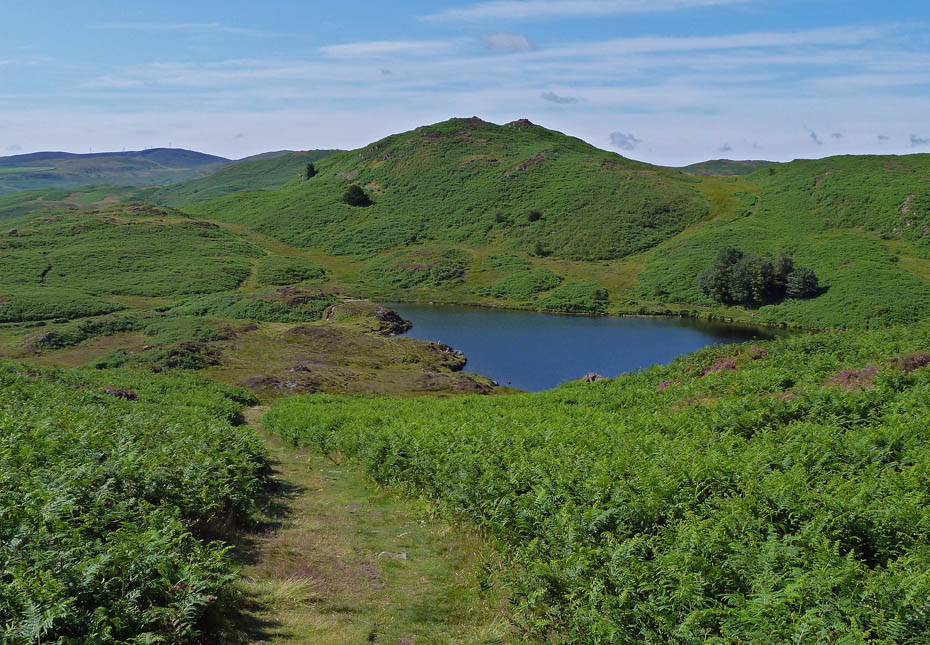
Looking along the tarn from its foot.
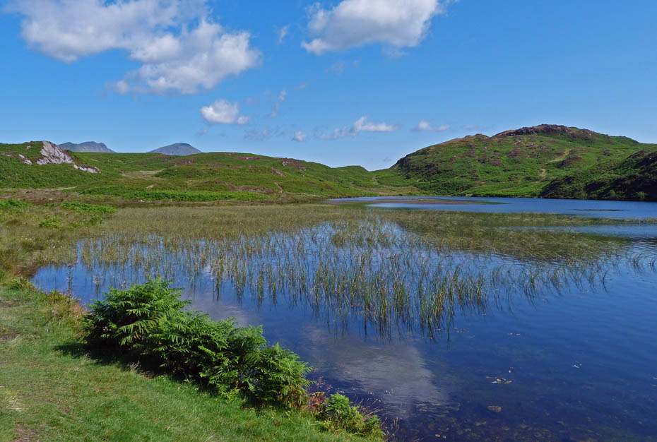
Our route now took us along the other side of the tarn. This section can be a little wet in places but easy to pick your way around. We are heading for the dip in the skyline just to the left of Beacon Fell.
A look back as we reach the "dip"
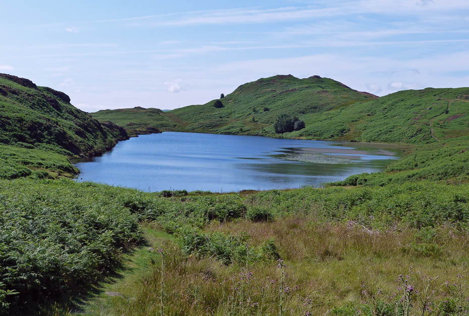
Our way ahead follows the right hand edge of the wet ground below us.
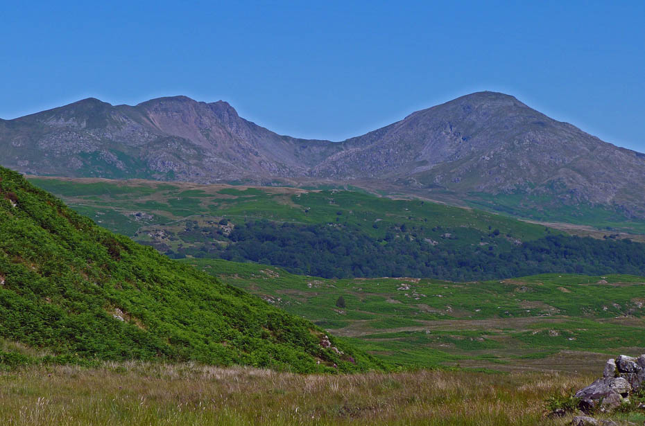
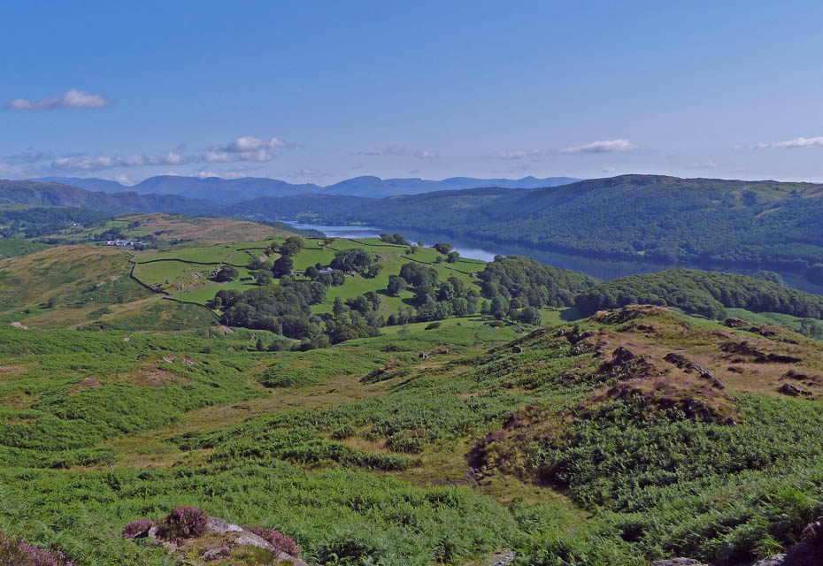
Dow Crag and Coniston Old Man as we make our way back.
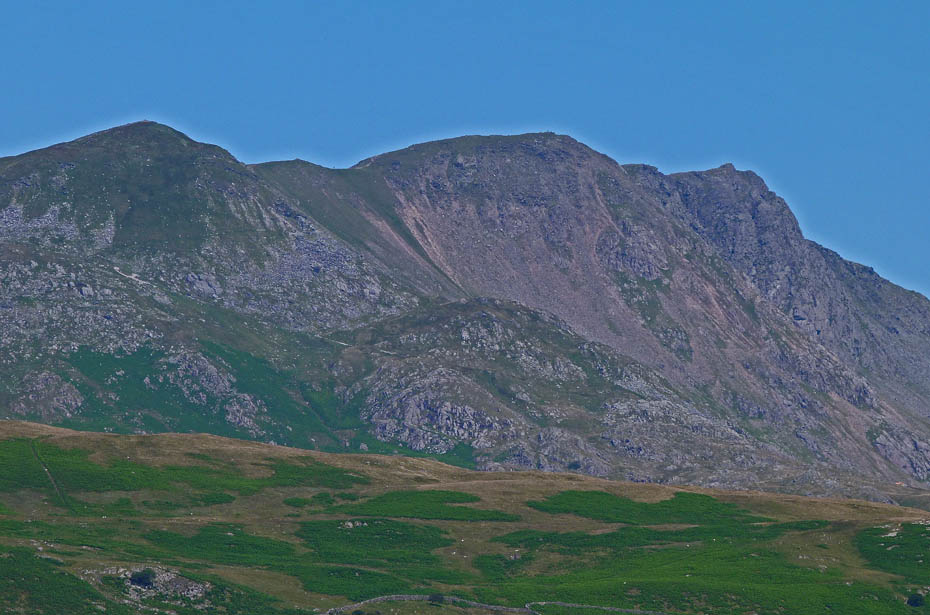
Close up.
The path joins the original path we set off on under the power lines.
Making our way back down the lane with Selside ahead.
Back to the car, bags off and back to the waters edge.
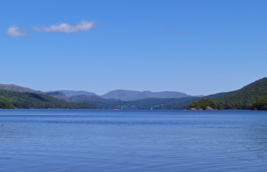
Looking along Coniston Water.
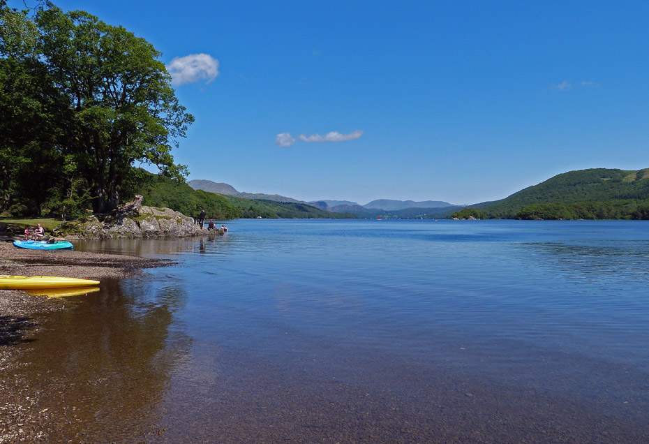
There are quite a few folk about now on a beautiful day.
Perfick!....just perfick!
Next Walk: 26th July 2011 - Lake District - The Helm
Last Walk: 23rd July 2011 - Lake District - Grandsire & School Knott
Do you have a Facebook or Twitter account? We post regular updates on both plus some additional pictures. Just click on either of the links below and add us.
![]()

We hope you have enjoyed viewing this walk. If you have any comments please sign our Guestbook or E_Mail us.
