
| Area: | Arnside & Silverdale | Ascent: | 460feet |
| Walk No: | 579 | Time: | 3hours 45mins |
| Date: | 29th July 2011 | Parking: | Beach at Arnside |
| Distance: | 8.00miles | Weather: | Fine & Sunny |
For those of you that are thinking of going onto the hills I would strongly recommend that you read the advice given by the Mountain Rescue organisation of England and Wales. To read this advice, which will open in a new page please click HERE. If you would like to make a donation to the Mountain Rescue organisation which is purely voluntary please click HERE. Please make the time to read the advice page.
---------------------------------------------------------------
It was a bit of a late start today as Edith needed the car for shopping first thing. I was also by myself as Edith wanted to catch up with a few jobs before she went to Ravenglass and Muncaster the following day with her brother & sister. It was very warm so I wasn't wanting any climbing and preferably keeping near the coast where there was a bit of a breeze. This was the best I could do.
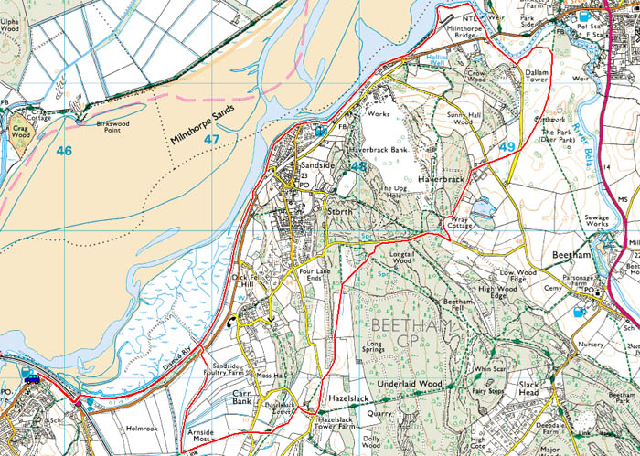
Route Map
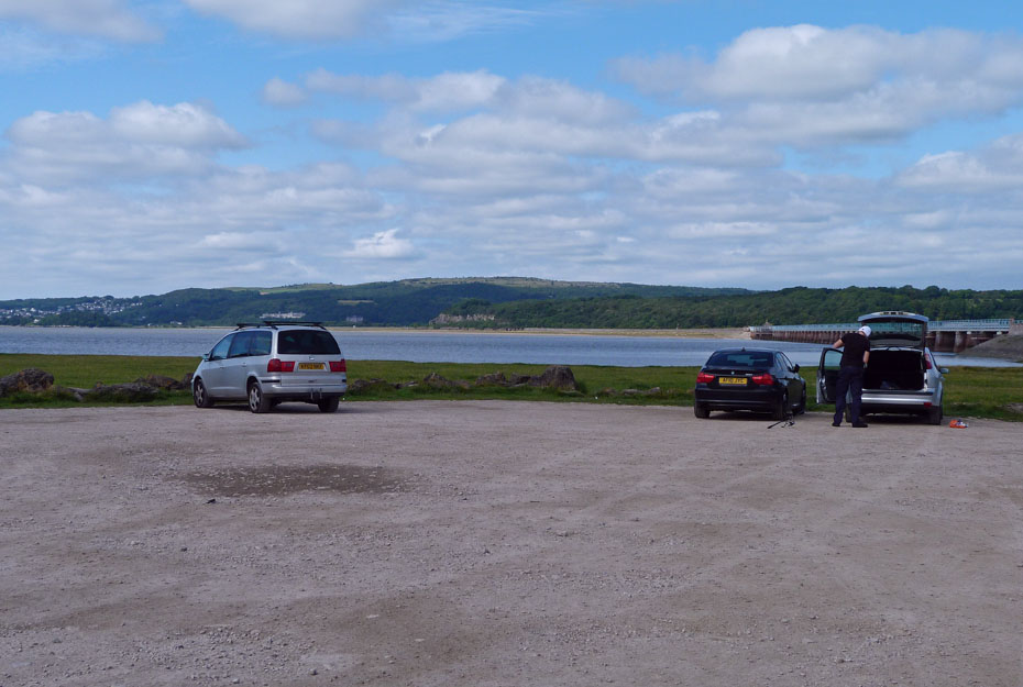
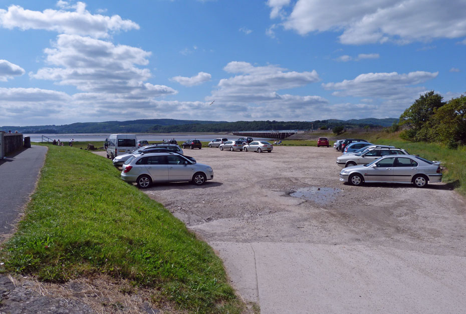
I left the car on the beach car park at Arnside. The tides are only low so there is no danger of it floating away whilst I am away.
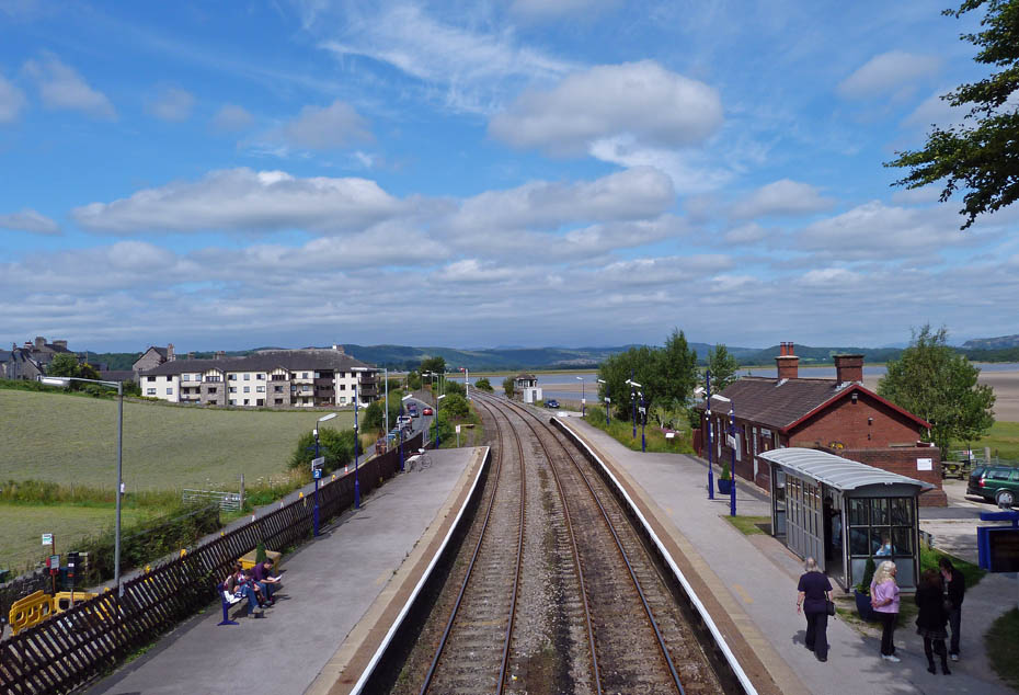
A short walk back along the road to the train station where I crossed over on the footbridge to gain access to the shore.
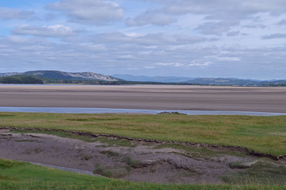
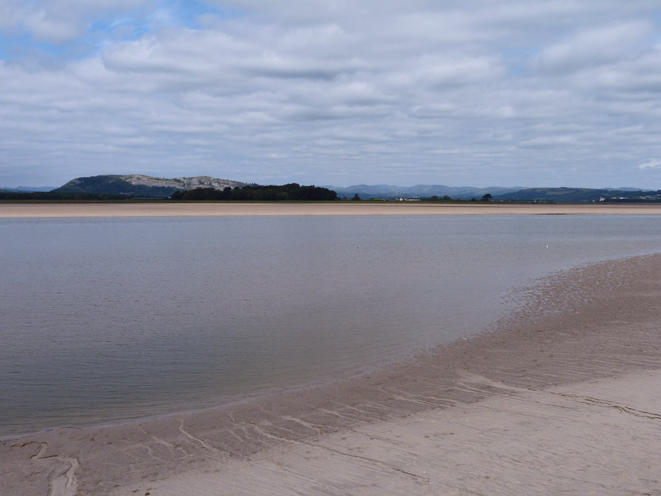
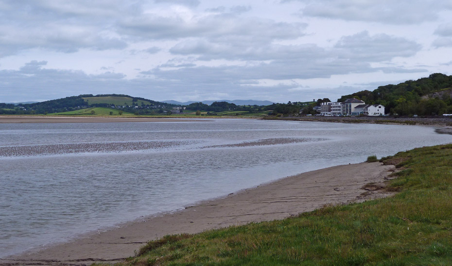
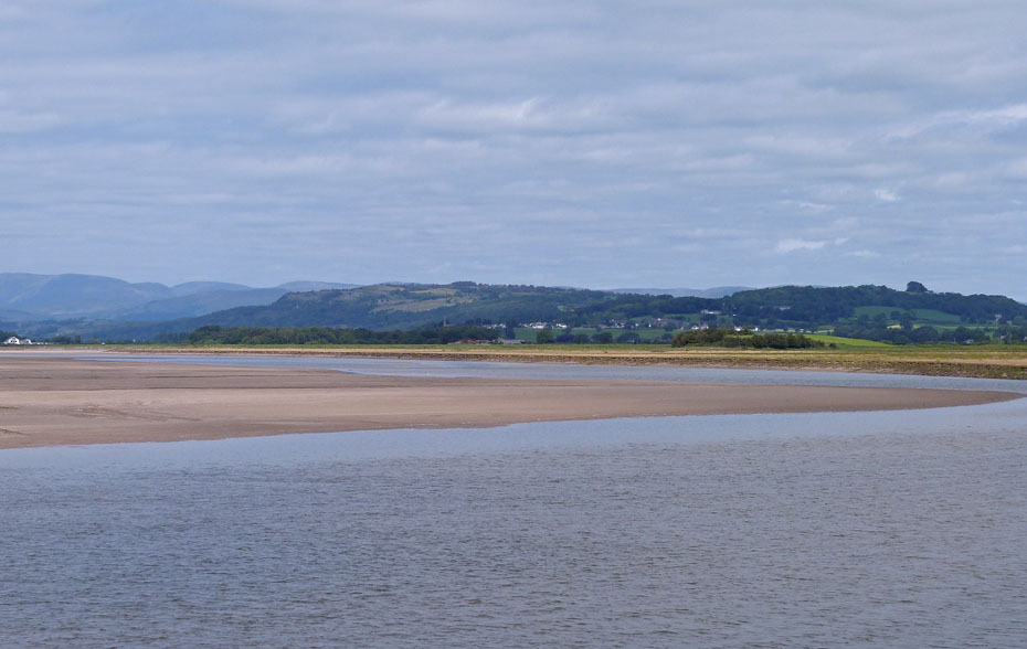
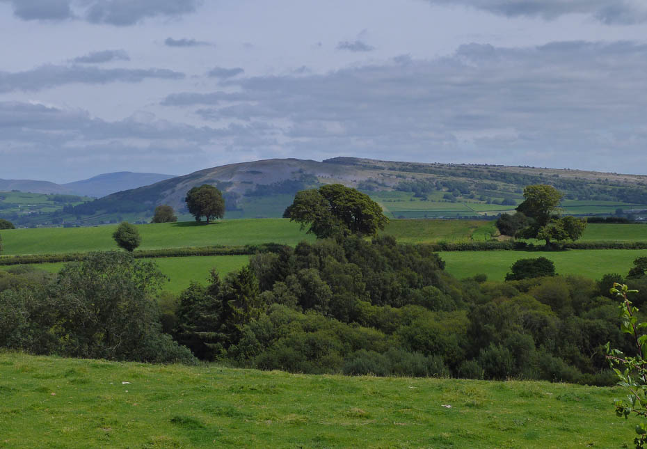
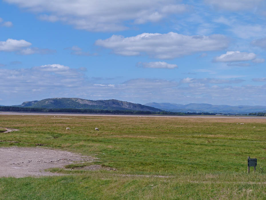
A look across the estuary to Whitbarrow (l) and Scout Scar (r) with the high fells of Kentmere between.
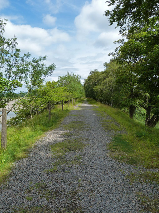
The path I am using is the old trackbed of the old railway to Sandside and Hincaster Junction.
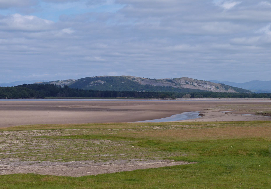
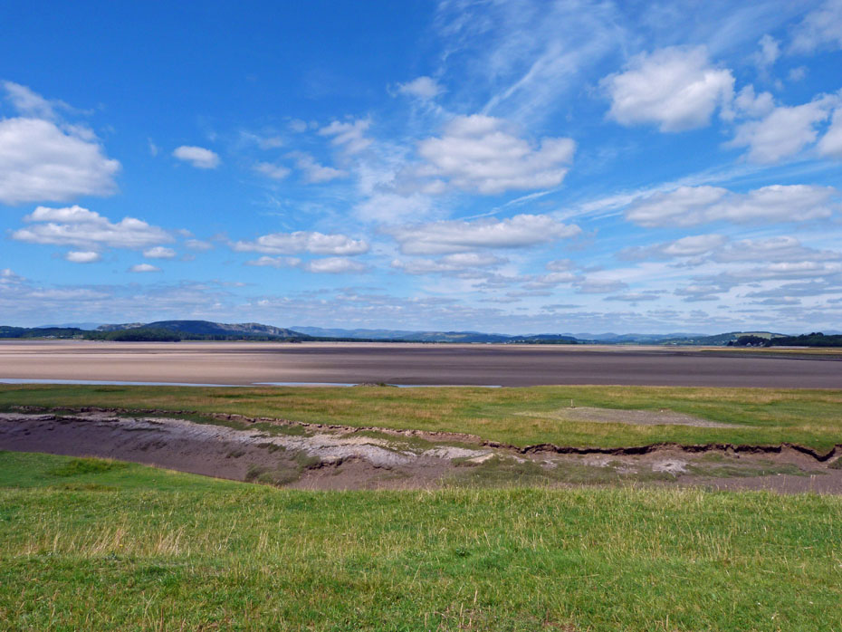
Whitbarrow
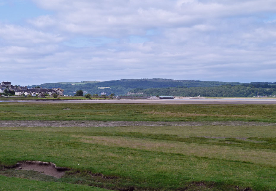
A look back towards Arnside and the viaduct with Hampsfell behind.
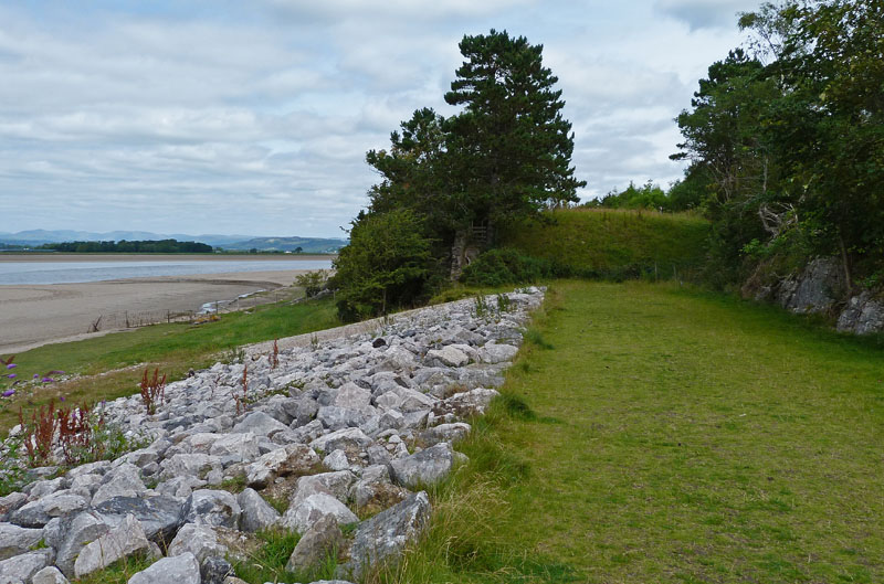
I left the trackbed here to continue along the shore.
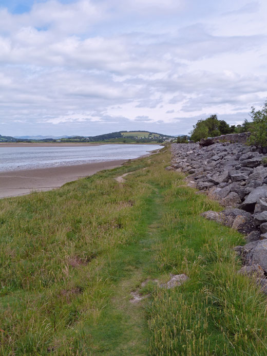
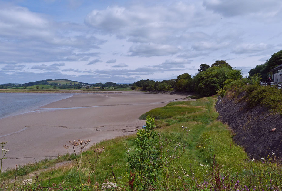
The shoreline is firm and easy walking but don't venture out onto the sands of the estuary, they are dangerous.
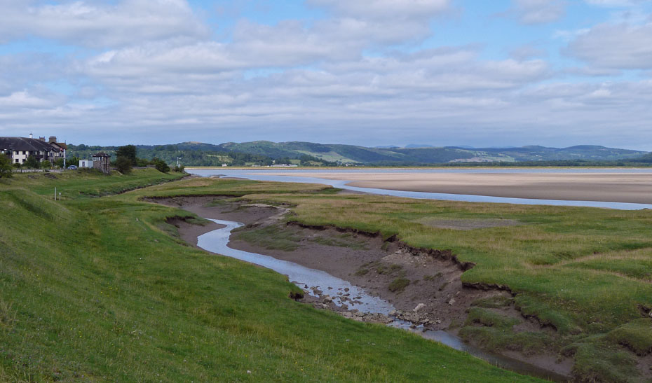
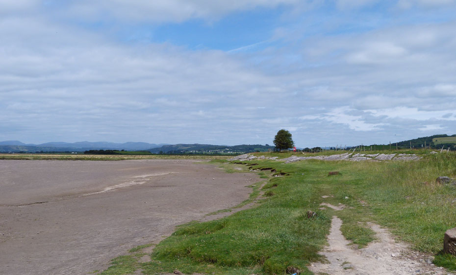
Another glance back and Arnside Knott as now come into view on the left.
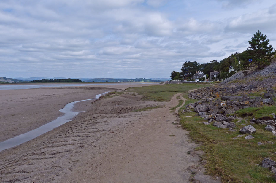
My walk continued along the shoreline. The road is just above and behind me but there is no danger from the tides today.
My walk along the shore will continue until I reach the buildings ahead.
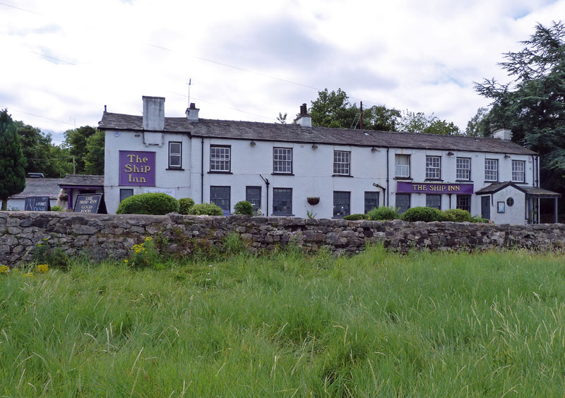
The Ship Inn at Sandside.
The next section was fine at first....
.....becoming a little rougher towards the end.
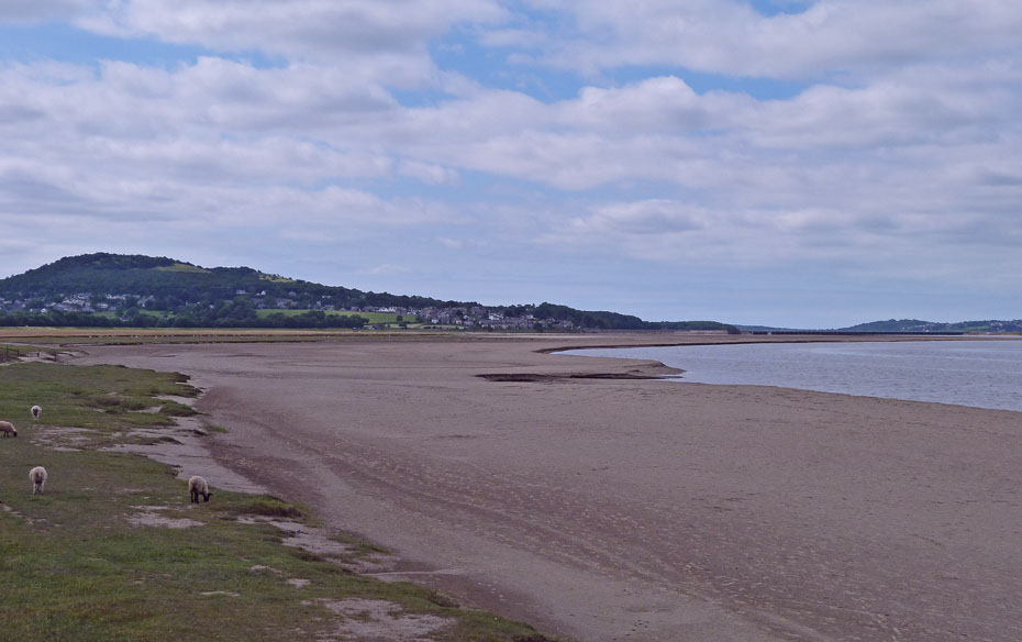
Scout Scar in the foreground.
I am now at the buildings shown previously and there is a path here so that I can avoid the road. Hopefully it will reunite me with....
....the old trackbed which I followed for a short way before returning to the shore.
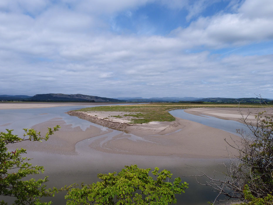
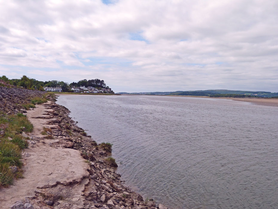
Where two become one. The River Kent (l) and River Bela (r) merge at this point.
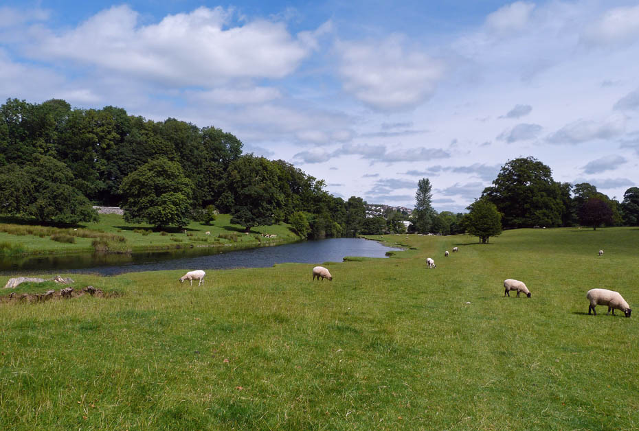
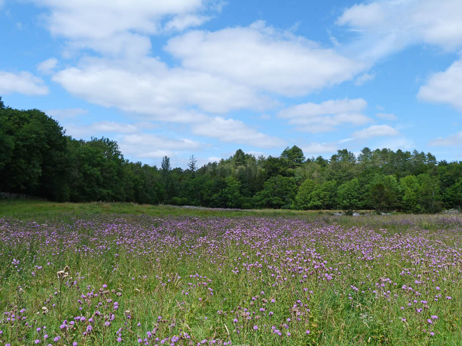
I now followed the River Bela into Dallam Park.
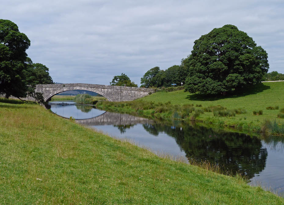
Milnthorpe Bridge from Dallam Park.
I continued towards Milnthorpe for a while before turning uphill.
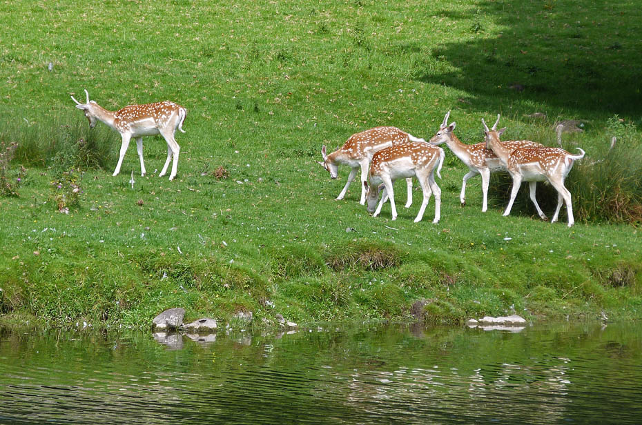
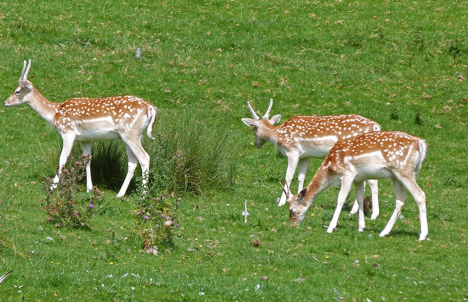
Deer on t'other side of the river.
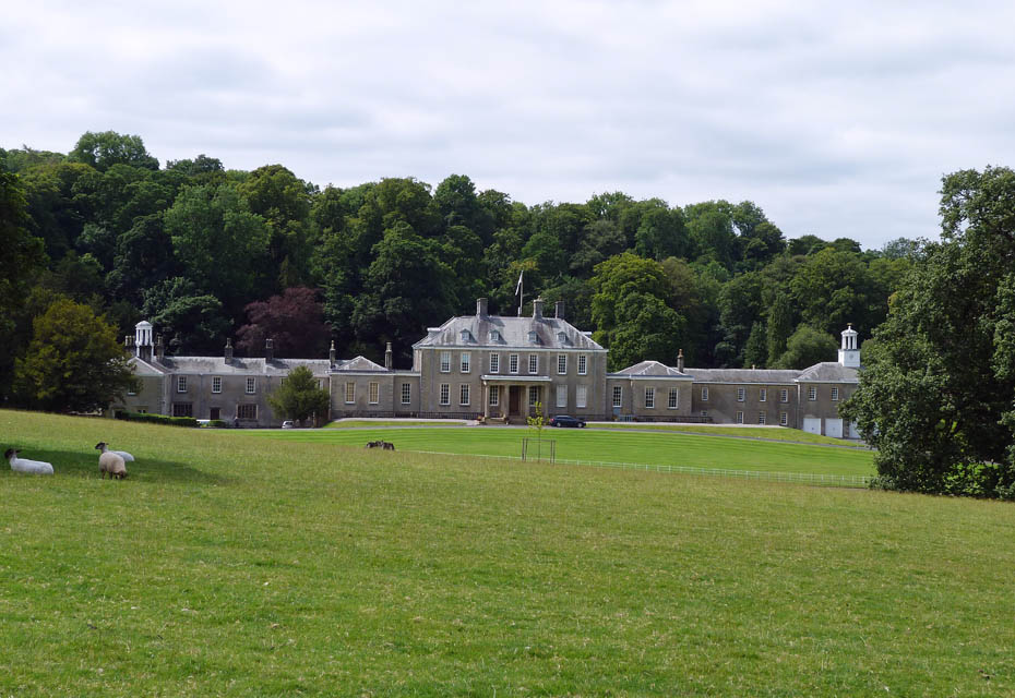
Dallam Towers as I made my way along the path through the park.
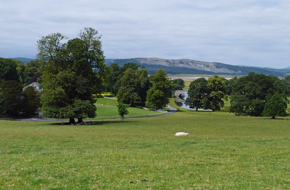
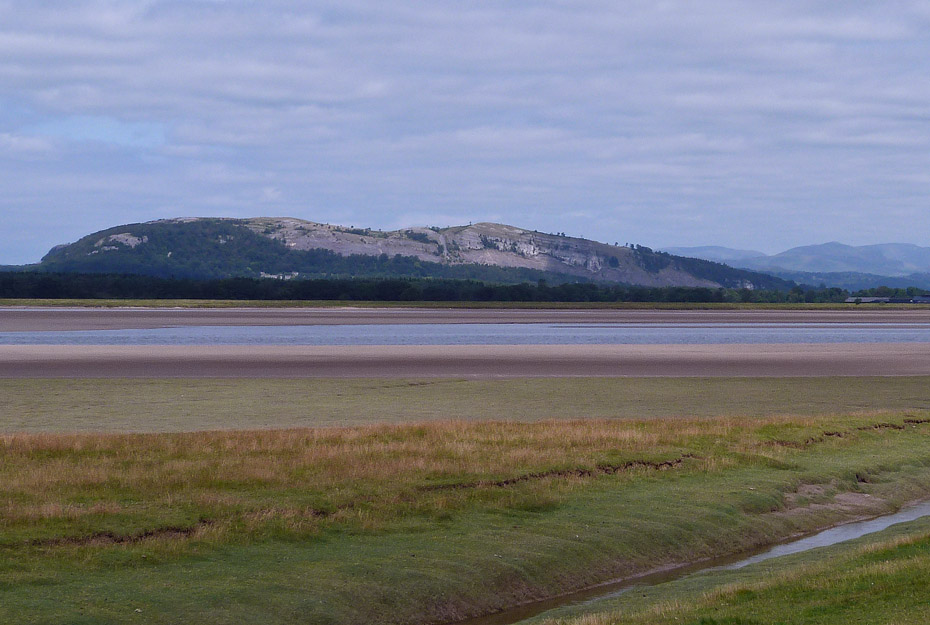
Looking back to Whitbarrow. Having walked up here I now dropped back down to cross the road through the estate and make my way up towards Haverbrack.
Farleton Knott from Haverbrack.
After a short road walk I took a path down through the woods towards Hazelslack.
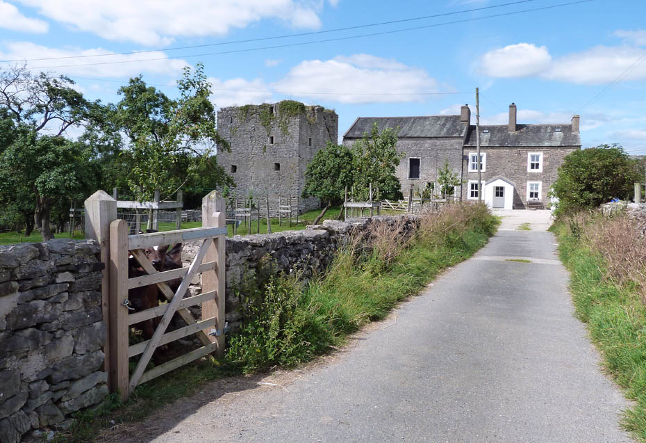
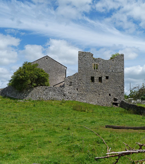
Hazelslack Tower.
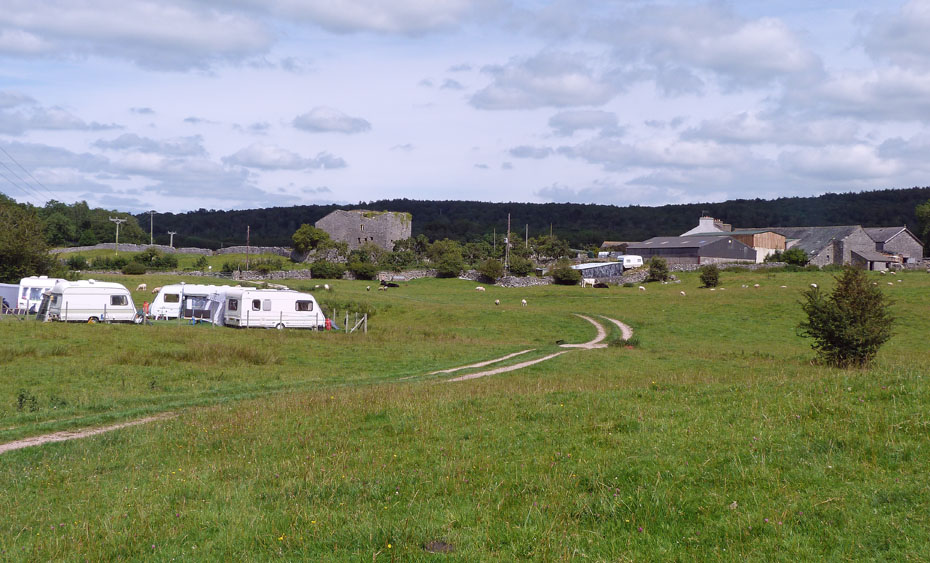
A short walk through the caravan site and a couple of fields.....
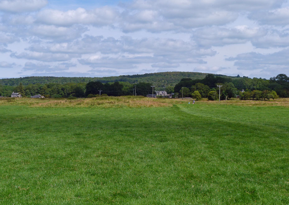
.....left me with a walk across Arnside Moss....
However part way across I decided to divert towards the coast to avoid a road walk at the end.
Looking across to Beetham Fell.
Soon I was back on the old trackbed with big skies and delicious views.
And finally.....back to the car.
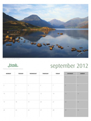
The Calendar season is upon us again. I have had a number of enquiries as to whether I will be producing a calendar this year. Once again the answer is no as I have neither the inclination to do so, or to make money out of what I enjoy. We normally support the R.N.L.I and Mountain Rescue in purchasing our calendars directly from them. However readers may be interested in this one from the Friends of the Lake District....At only £8.00 it offers good value for money and you will know that the monies raised will go the the only charity wholly dedicated to protecting Cumbria's landscape for the future. Just clicking on the picture will take you to the website.
Next Walk: 30th July 2011 - Arnside & Silverdale AONB - A Steam Train, Owls and a familiar hill
Last Walk: 27th July 2011 - Lake District - A Derwentwater Circular.
Do you have a Facebook or Twitter account? We post regular updates on both plus some additional pictures. Just click on either of the links below and add us.
![]()

We hope you have enjoyed viewing this walk. If you have any comments please sign our Guestbook or E_Mail us.
