| Area: | Lake District | Ascent: | 860feet |
| Walk No: | 583 | Time: | 3hours 45minutes |
| Date: | 5th August 2011 | Parking: | Elterwater |
| Distance: | 6.50miles | Weather: | Fine with some sun. |
For those of you that are thinking of going onto the hills I would strongly recommend that you read the advice given by the Mountain Rescue organisation of England and Wales. To read this advice, which will open in a new page please click HERE. If you would like to make a donation to the Mountain Rescue organisation which is purely voluntary please click HERE. Please make the time to read the advice page.
---------------------------------------------------------------
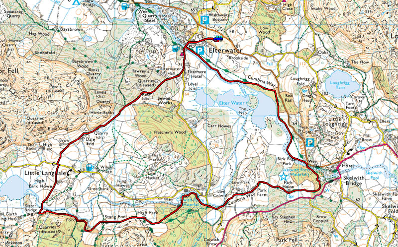
A walk from Elterwater towards Skelwith Bridge before crossing the River Brathay to take the well trodden route to Colwith Force and Slater Bridge. The return was made via Dale End to Elterwater.
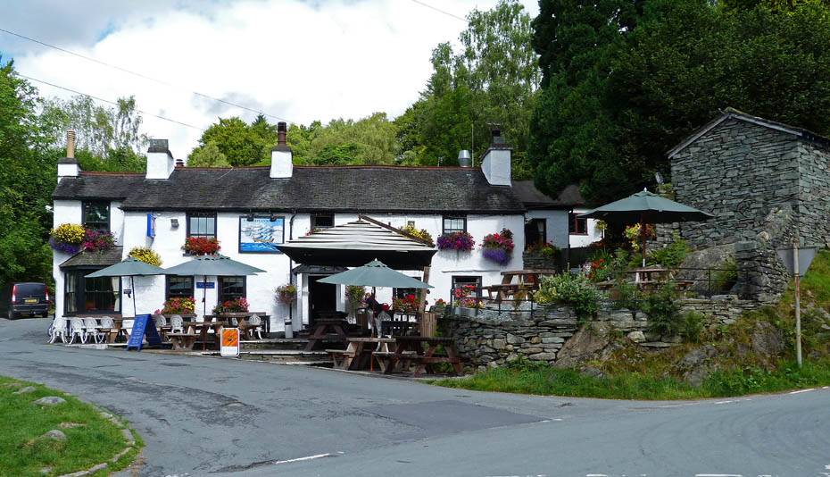
Having taken the first available parking space we walked down to Elterwater passing The Brittania.
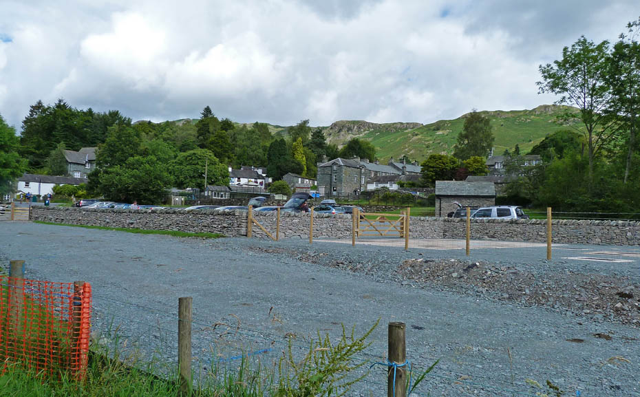
United Utilities have now more or less finished there work and the NT Car Park is once again operational.
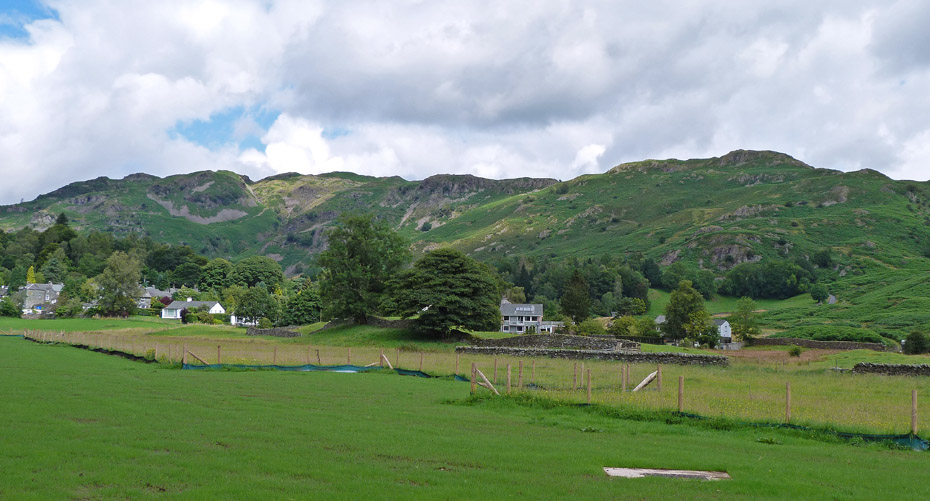
A look back towards the Dow Bank - Spedding Crag ridge.
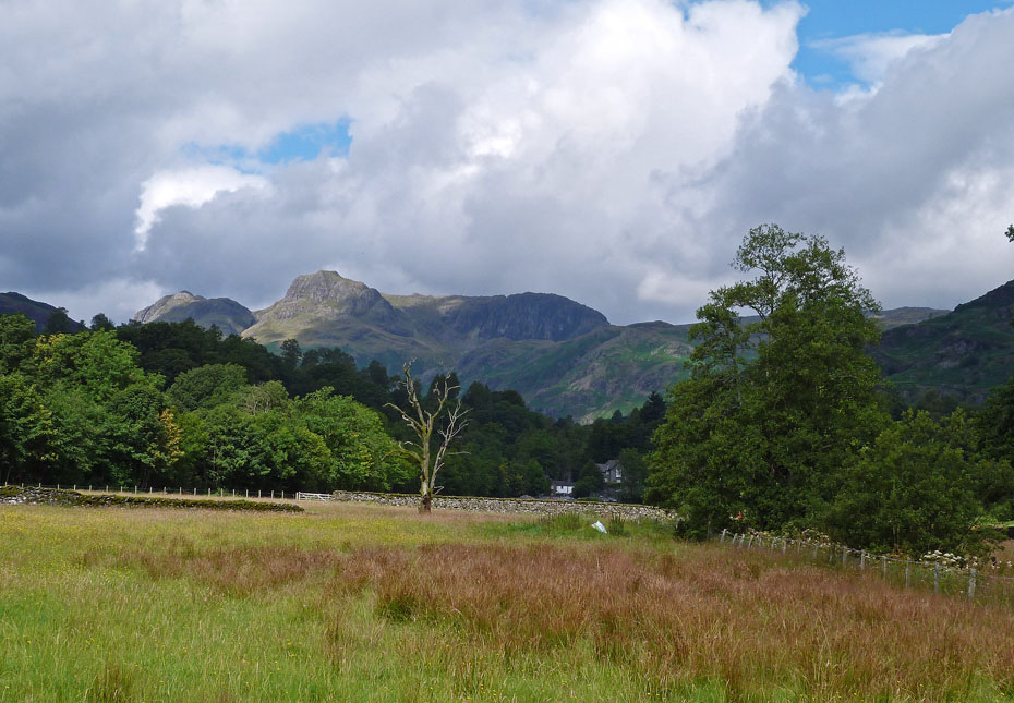
A touch of sun on Harrison Stickle.
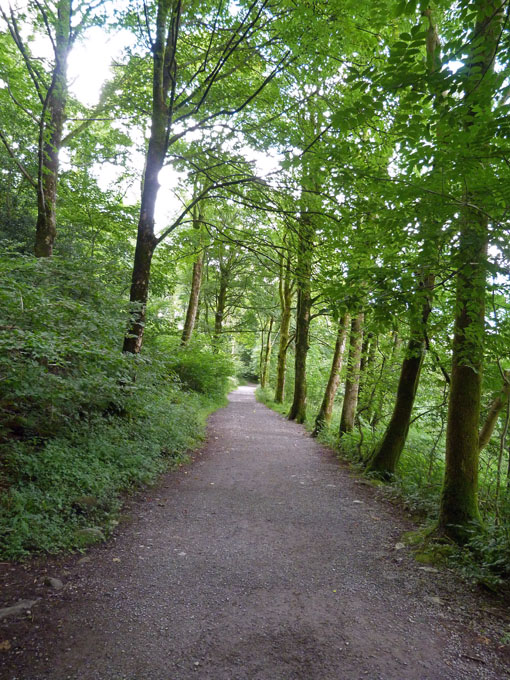
A short walk through the woods....
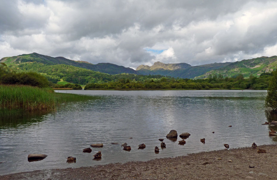
....onto the shore of Elter Water, just in time for the sun to disappear.
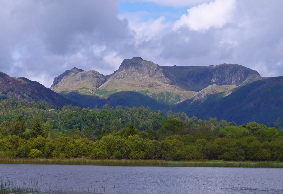
Close up Langdale Pikes.
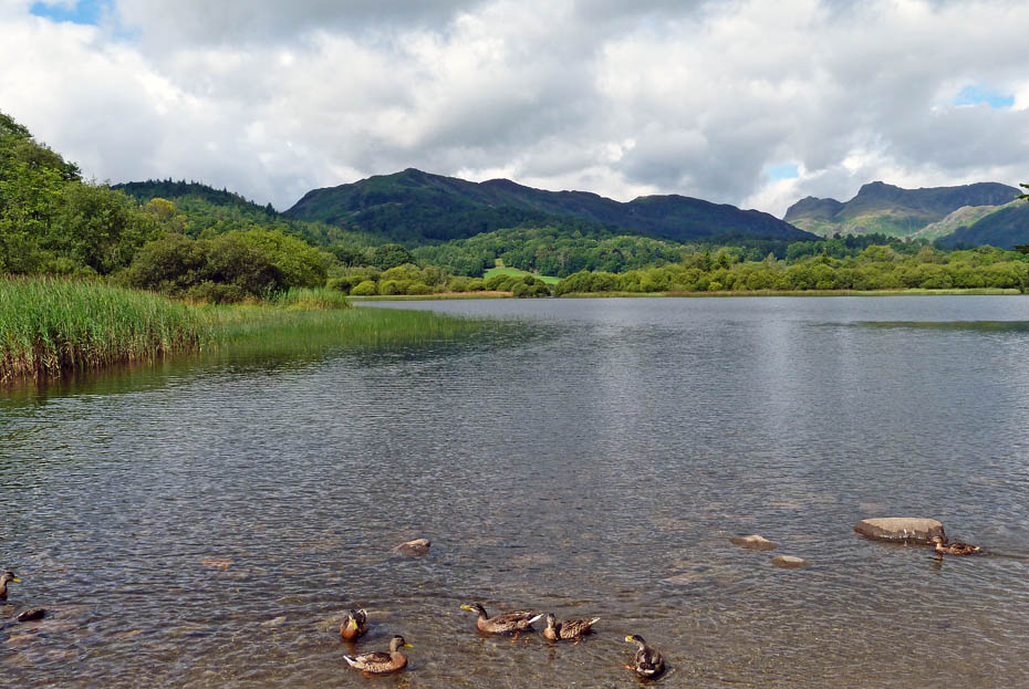
The sun returns briefly but we must leave.
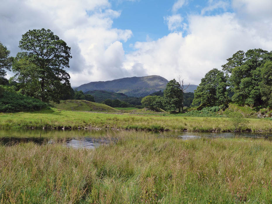
Distant Wetherlam.
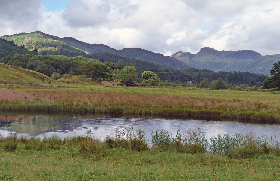
Lingmoor and the Pikes across the River Brathay.
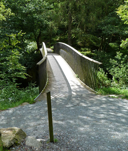
We crossed the river on the footbridge to avoid having to go to Skelwith Bridge.

A brief stop near Park House for Dr Doolittle to talk to the animals.
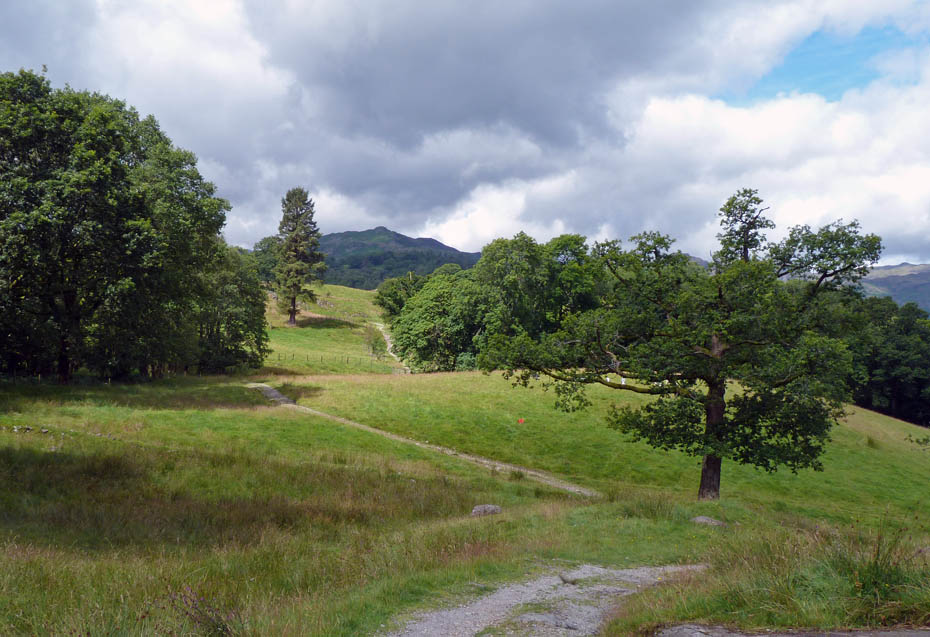
Our way ahead.
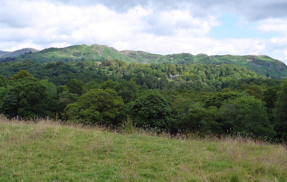
Looking across to Loughrigg....
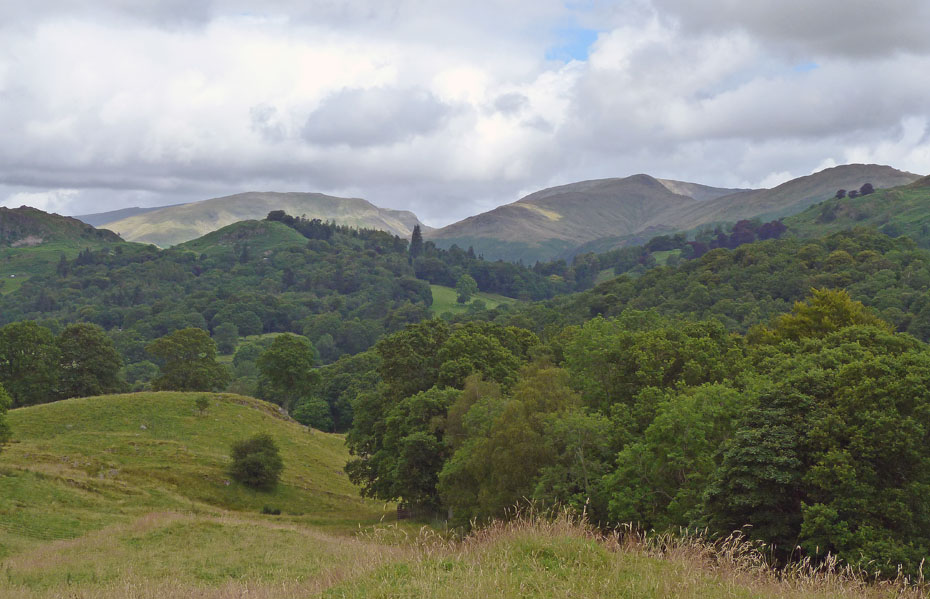
....and to Seat Sandal, Great Rigg and Heron Pike.
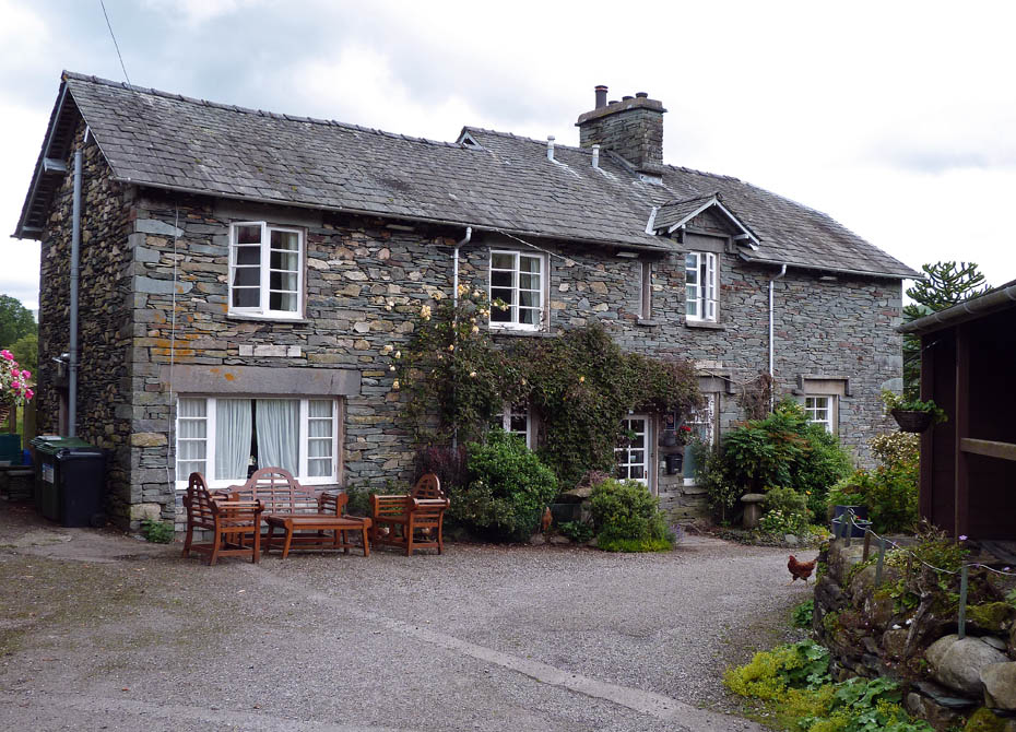
Passing through Park Farm.
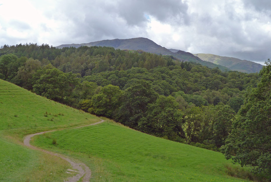
Dropping down to Colwith Bridge with Wetherlam and Wet Side Edge ahead.
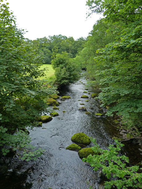
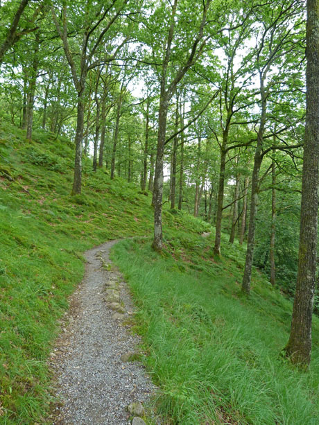
Looking down the River Brathay from Colwith Bridge (l) and the path to Colwith Force (r)
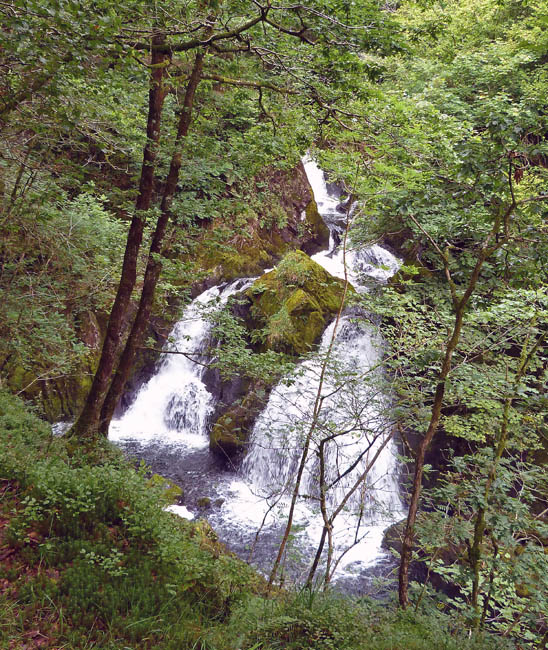
Colwith Force.
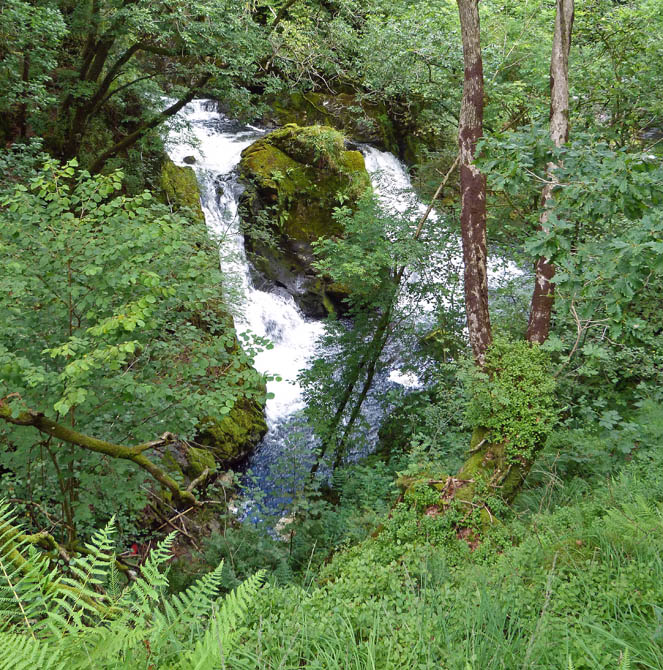
And again from further along the path.
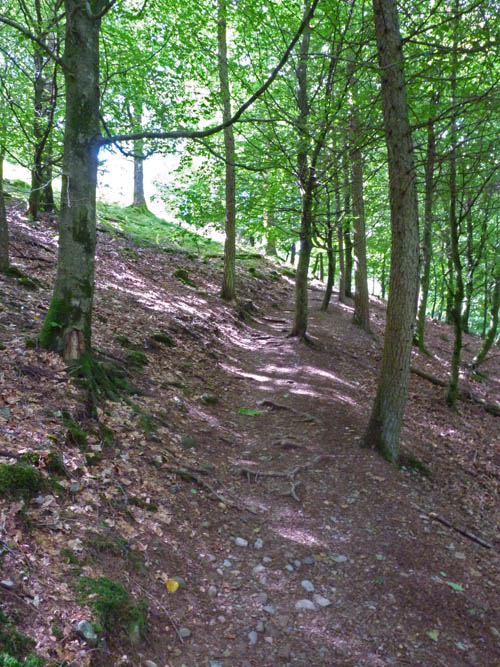
From Colwith Force the path rises through the woods on a sometimes wet path....
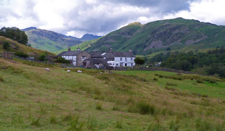
...to finally emerge near High Park which we shall wall through....
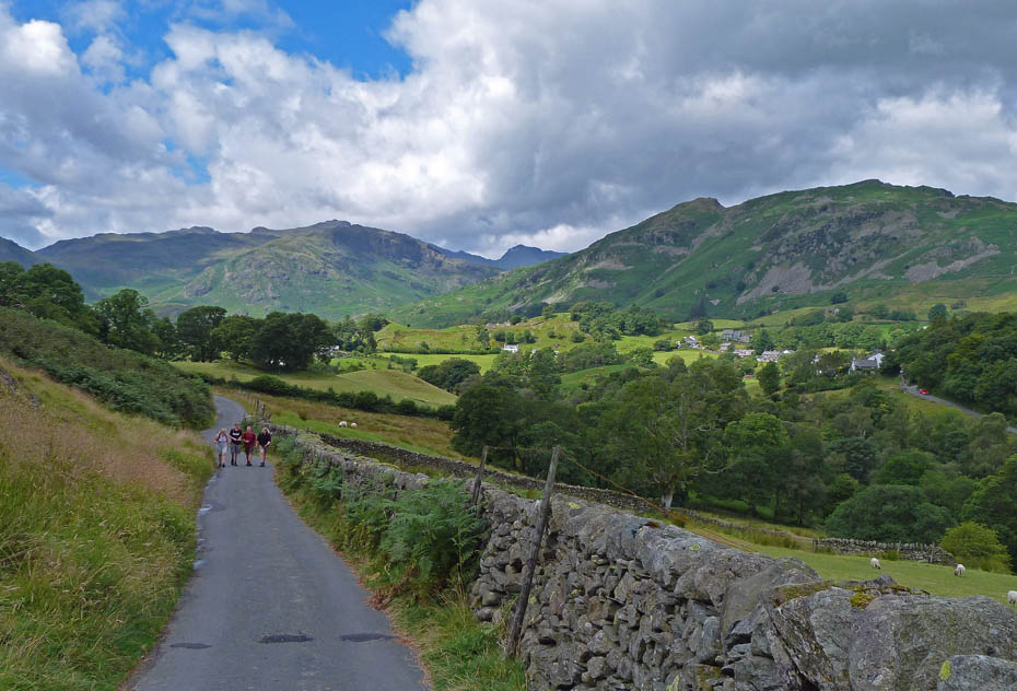
....to take the single track lane towards Stang End. Bowfell just peeeps through the gap between Pike O'Blisco and Lingmoor.
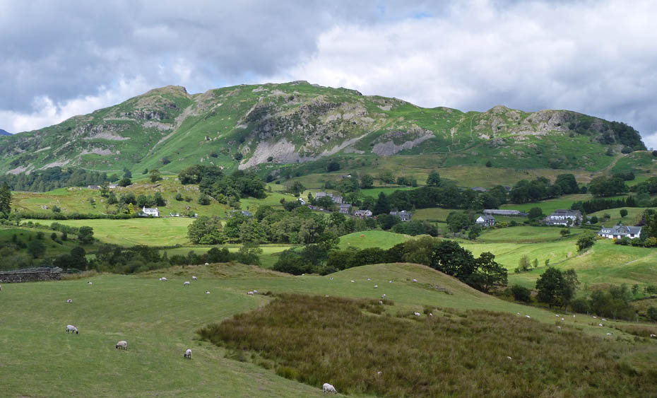
Lingmoor
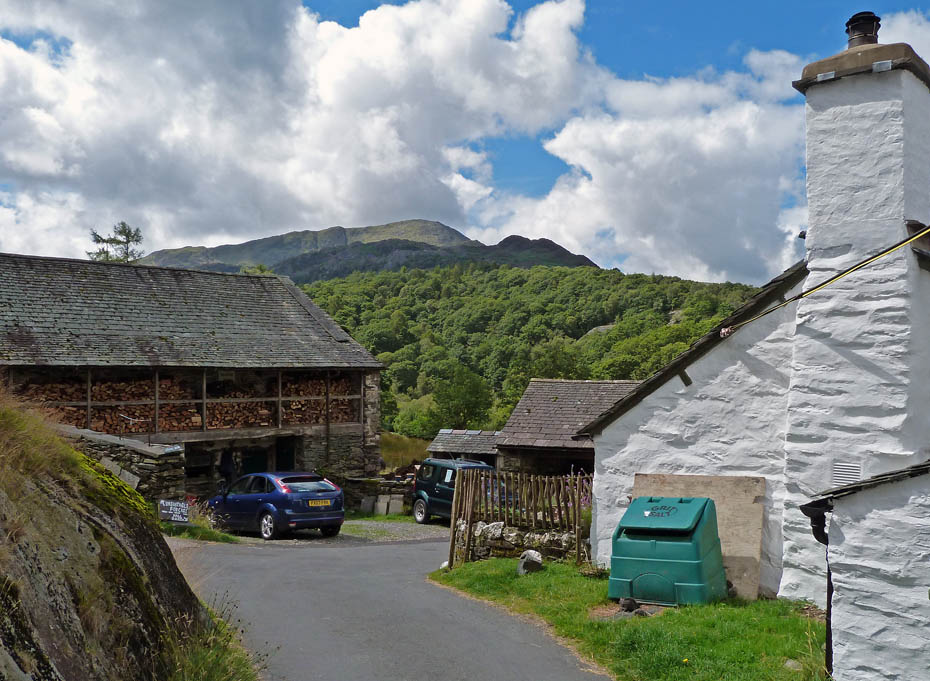
Passing through Stang End.
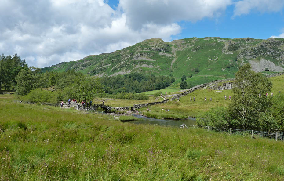
As we approached Slater Bridge there was a queue starting to form and the group approaching on the opposite side were heading this way....
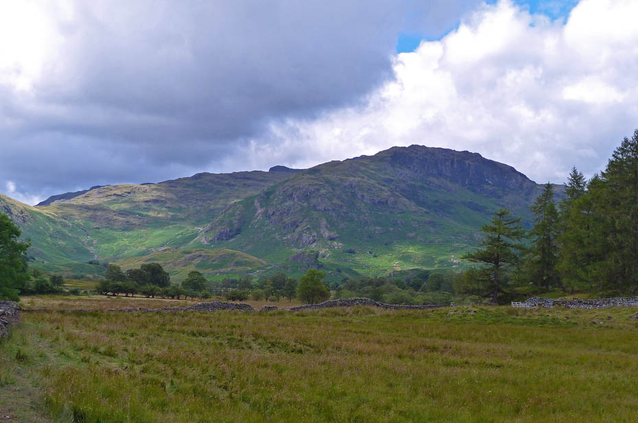
.....giving me plenty of time for a picture of Pike O'Blisco and the road winding its way up to the Wrynose Pass.
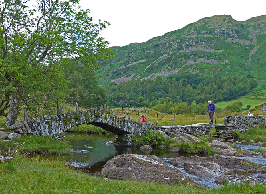
Slater Bridge
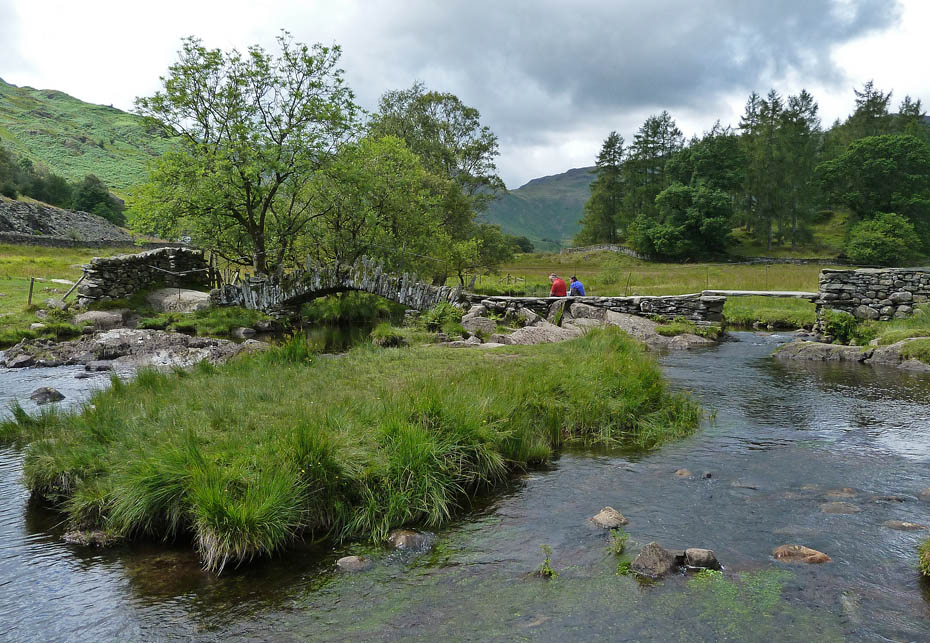
And again from t'other side.
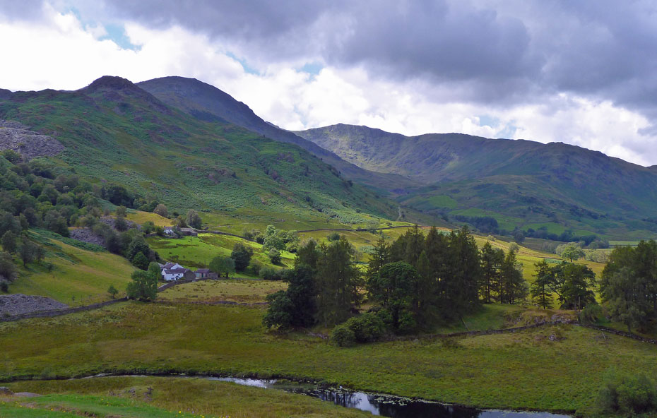
A rather dark south side of the valley head....
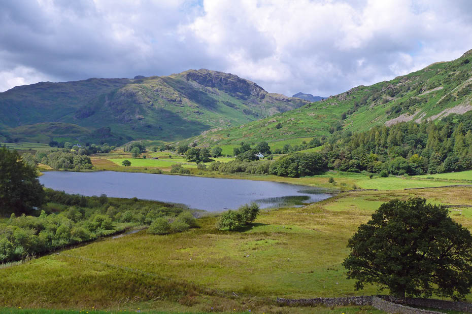
....and a more brighter northern side.
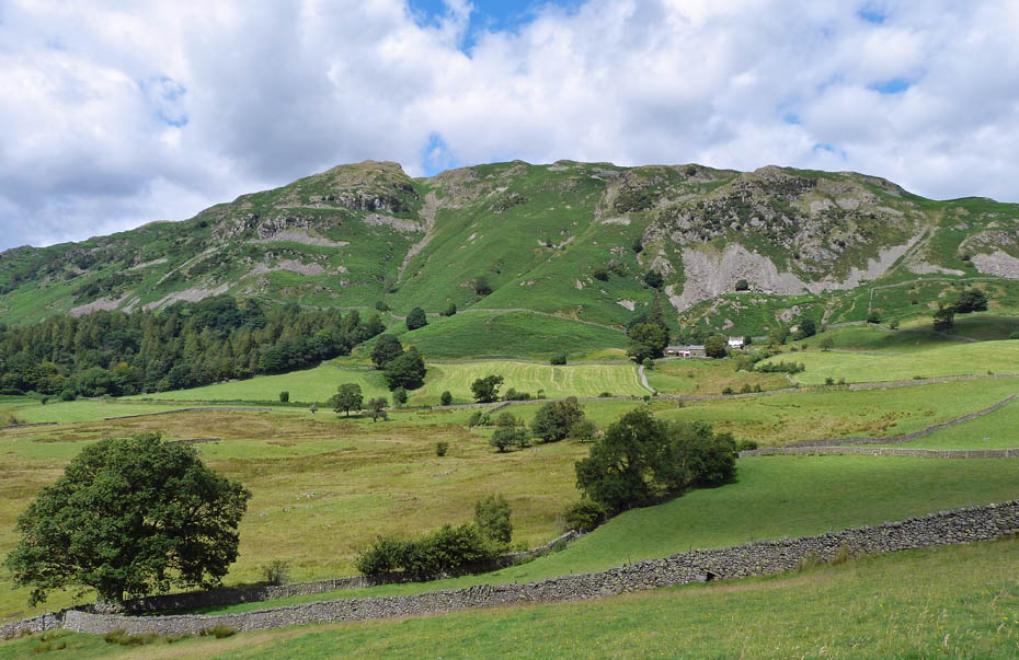
Lingmoor

We hung around for a while hoping that it might brighten some more....
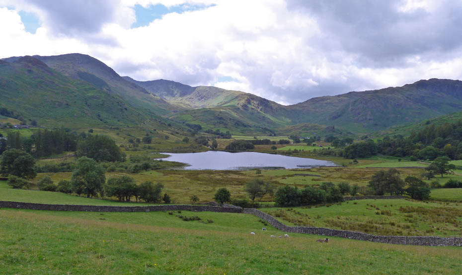
....but to no avail....
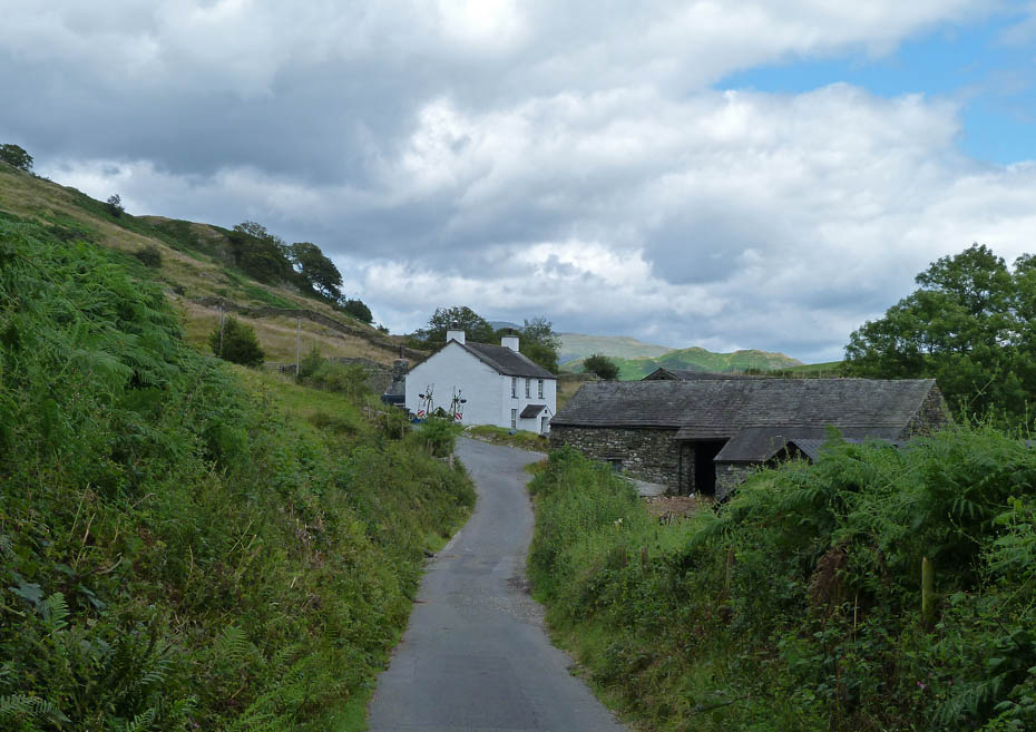
.....so we started to make our way back over into Great Langdale passing Dale Head farm on the way.
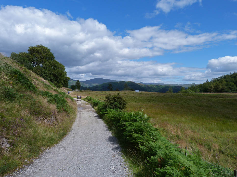
As we reached the top it looked as though things were brightening
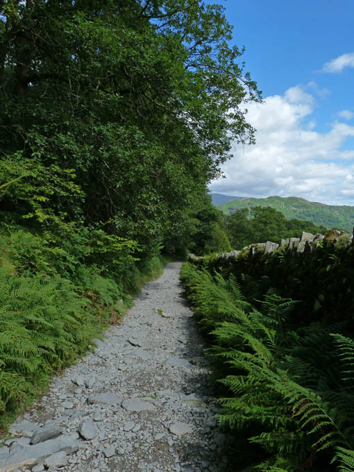
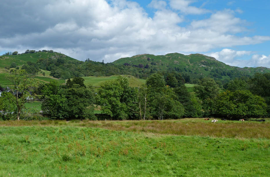
Almost back!
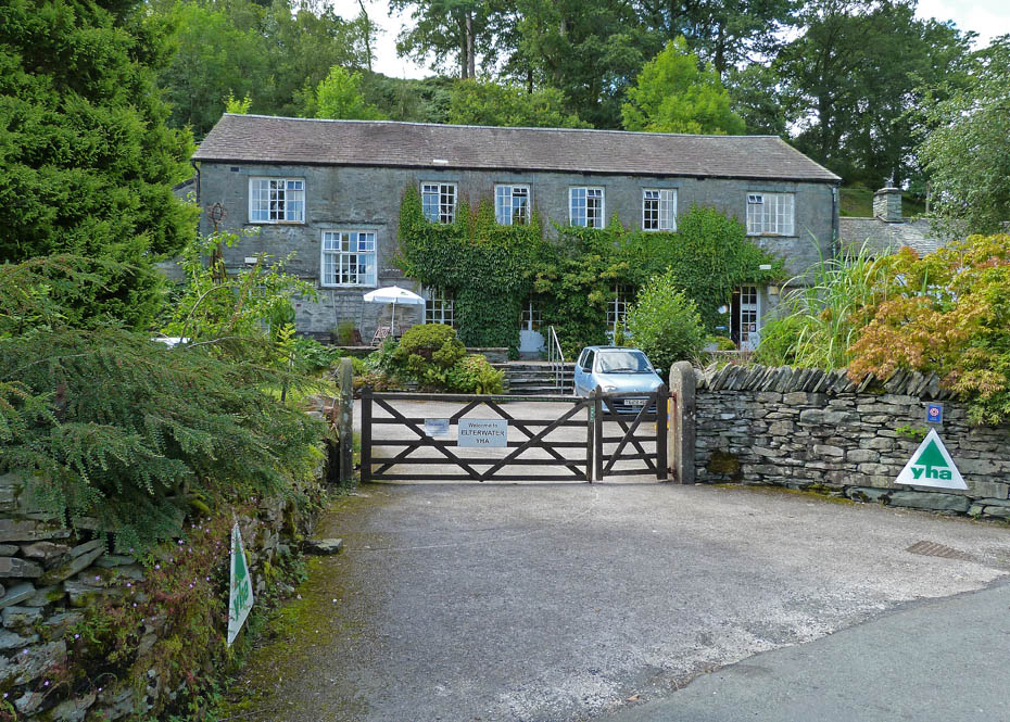
Elterwater YHA
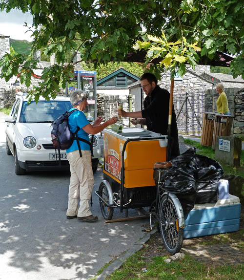
Yummy!!
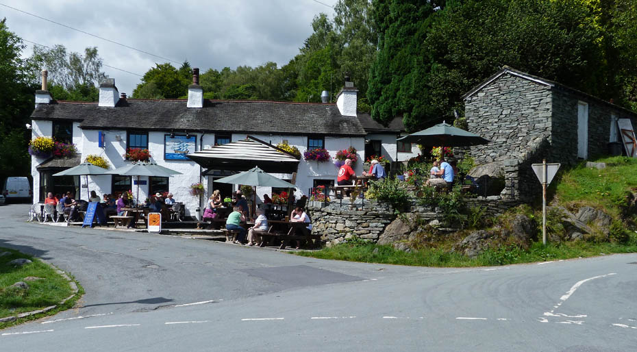
Rather have my ice-cream!!
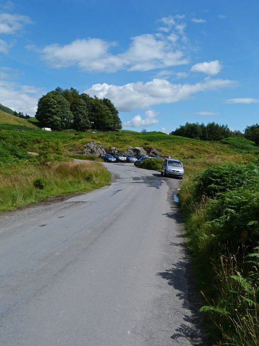
And finally.....back to the car
The Calendar season is upon us again. I have had a number of enquiries as to whether I will be producing a calendar this year. Once again the answer is no as I have neither the inclination to do so, or to make money out of what I enjoy. We normally support the R.N.L.I and Mountain Rescue in purchasing our calendars directly from them. However readers may be interested in this one from the Friends of the Lake District....At only £8.00 it offers good value for money and you will know that the monies raised will go the the only charity wholly dedicated to protecting Cumbria's landscape for the future. Just clicking on the picture will take you to the website.
Next Walk: 7th August 2011 - Arnside & Silverdale - An evening walk on the Knott.
Last Walk: 3rd August 2011 - Lake District - A Rydal Water & Grasmere circular
Do you have a Facebook or Twitter account? We post regular updates on both plus some additional pictures. Just click on either of the links below and add us.
We hope you have enjoyed viewing this walk. If you have any comments please sign our Guestbook or E_Mail us.