| Area: | Lake District | Ascent: | 700feet |
| Walk No: | 589 | Time: | 3hours |
| Date: | 19th August 2011 | Parking: | Tarn Hows |
| Distance: | 4.75miles | Weather: | Fine with sun to start but soon clouding over |
For those of you that are thinking of going onto the hills I would strongly recommend that you read the advice given by the Mountain Rescue organisation of England and Wales. To read this advice, which will open in a new page please click HERE. If you would like to make a donation to the Mountain Rescue organisation which is purely voluntary please click HERE. Please make the time to read the advice page.
---------------------------------------------------------------
As we drove along the promenade at Morecambe just after 8am we thought that we were going to have a cracking day. There was barely a cloud in the sky and across the bay we could see the remains of a cloud inversion as the early morning sun burnt it off. However things changed on our way to Tarn Hows and although it was still bright to the north it quickly filled in with cloud around us. However it was high and in no way spoilt our planned walk.
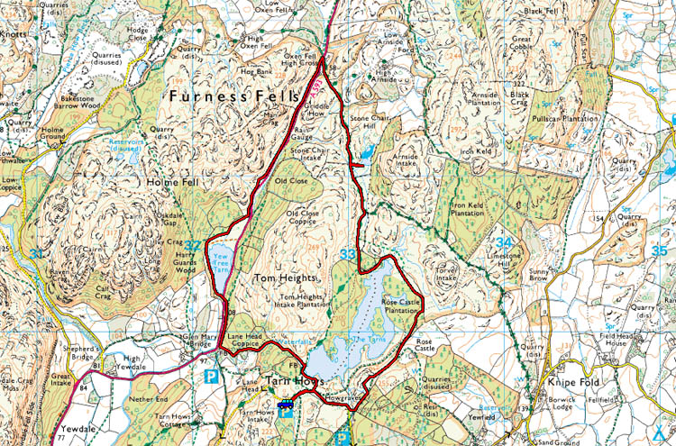
Route Map
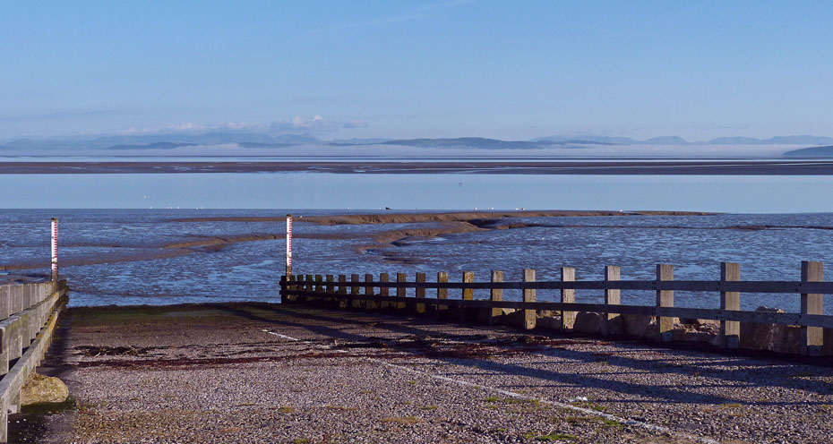
The remains of a cloud inversion across the bay as we drove along the promenade at Morecambe.
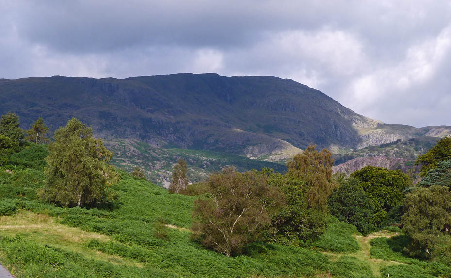
By the time we arrived at Tarn Hows there was a lot more cloud about but it was high.
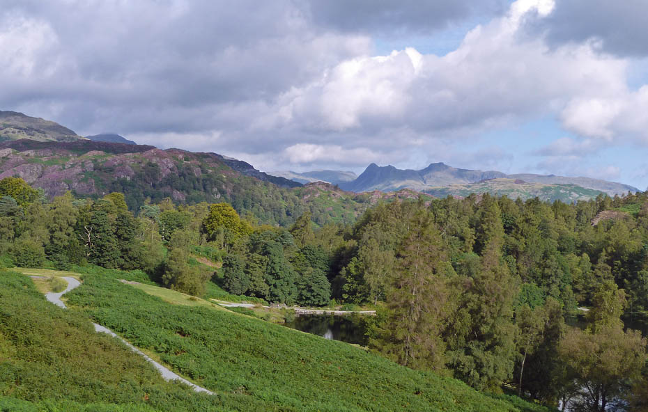
The Langdale Pikes in the distance as we make our way to Howgraves.
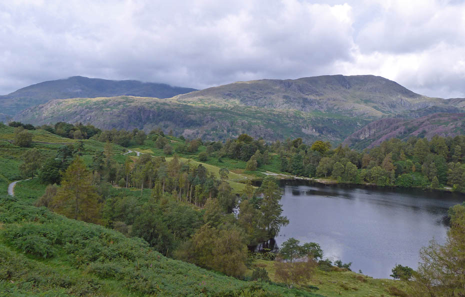
Looking over to Coniston Old Man and Wetherlam from Howgraves.
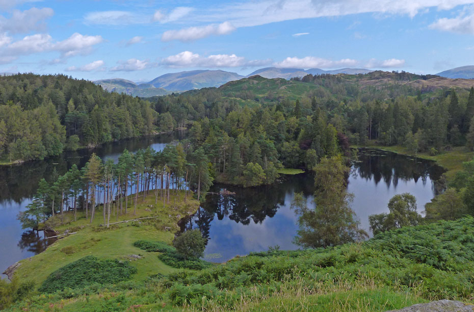
It was still a lot brighter to the north as the cloud moved in from the south.
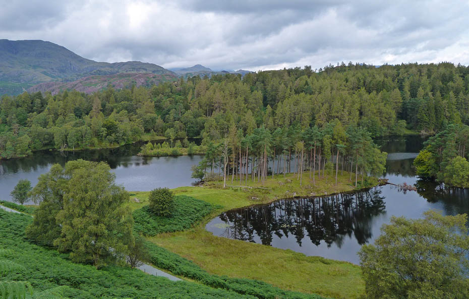
From Howgraves we made our way to the head of The Tarns.
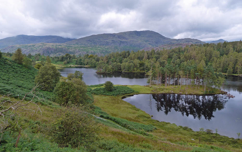
There was enough of a breeze to spoil the reflections.
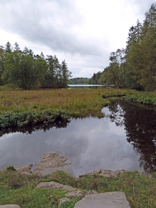
Normally we would leave the path around here to make our way to Black Fell. Today however our planned walk differed.
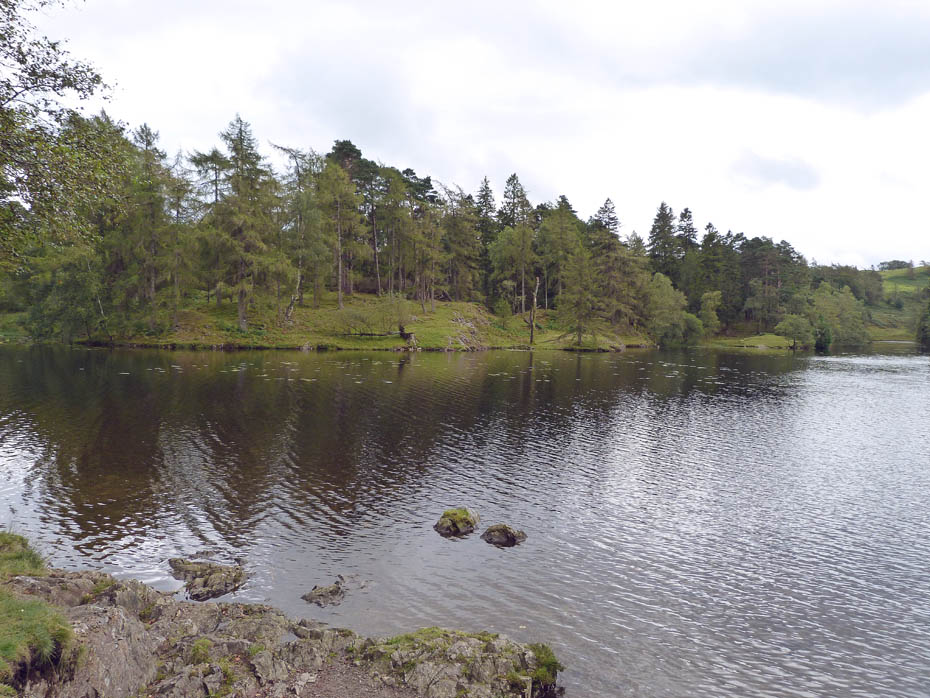
We carried on along the circular route for a short distance....
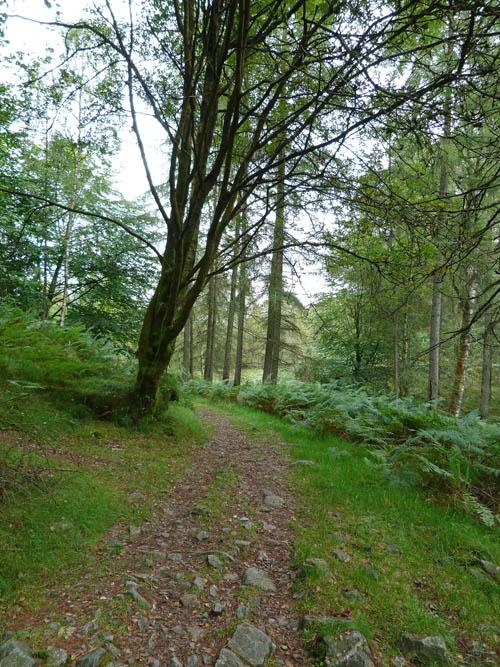
....before leaving to our right on a path that would take us.....
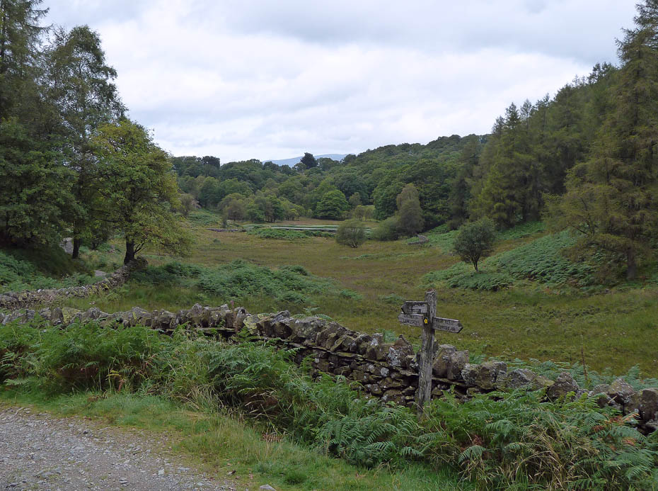
....to the bridleway coming from Knipe Fold and leading to High Cross which we followed towards High Cross.
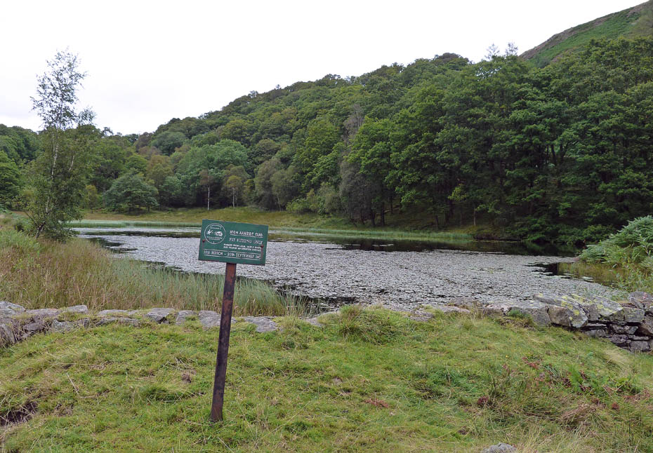
A short diversion to High Arnside Tarn...
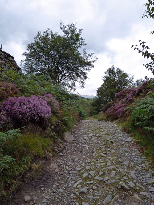
....before carrying on towards High Cross.
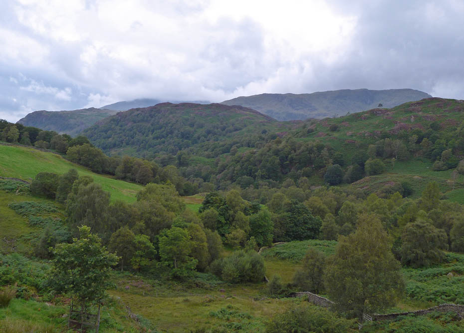
A look over to Holme Fell with the Coniston Fells behind.
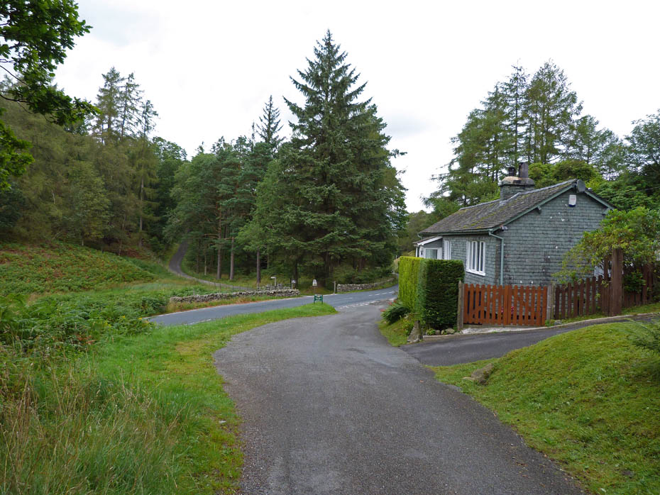
Arrival at High Cross. Or next path is across the road and will follow the direction of the road to the left.
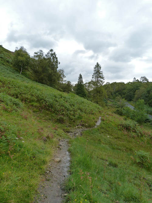
It's a few years since we last walked this path....
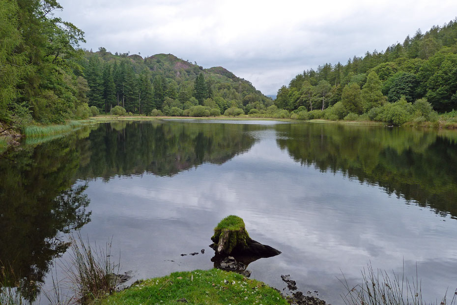
....which eventually leads us to the delightful Yew Tree Tarn....
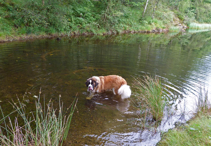
.....where Bernard was trying his best to drink it dry!
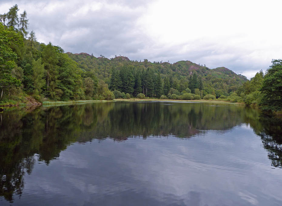
Once again the reflections were spoilt with the breeze.
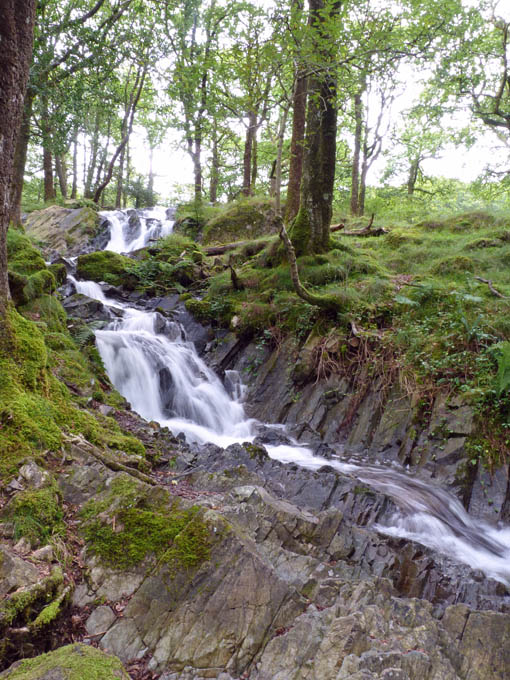
From the tarn we made our way to Tom Gill for the return to Tarn Hows.
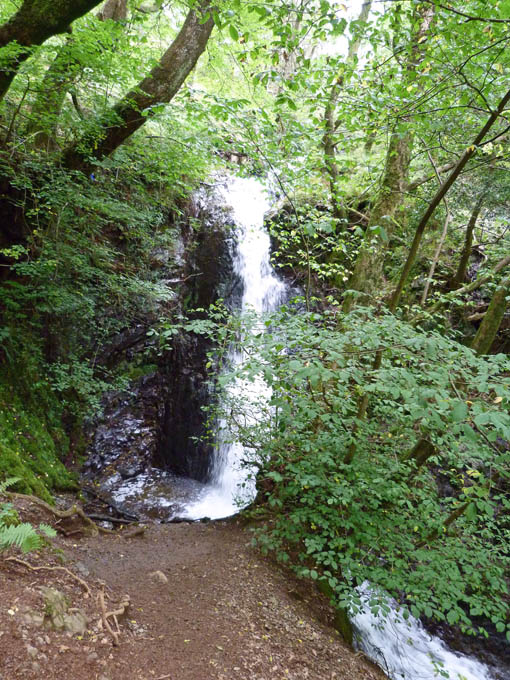
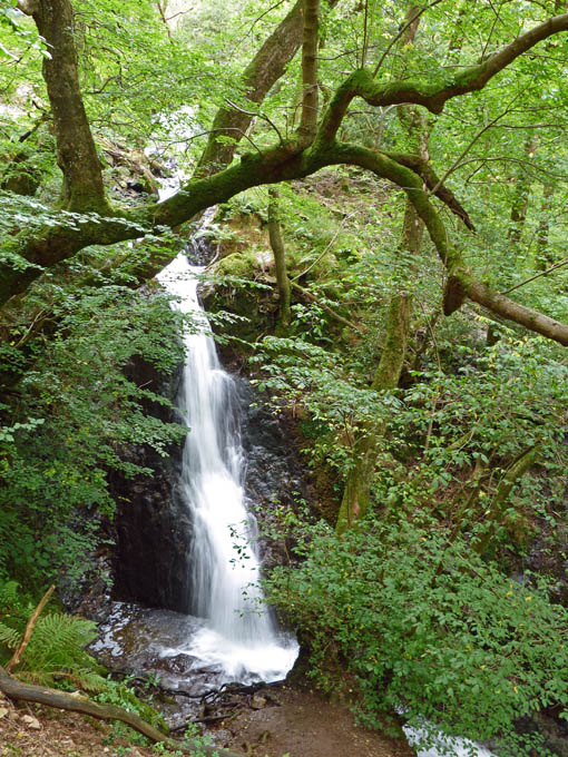
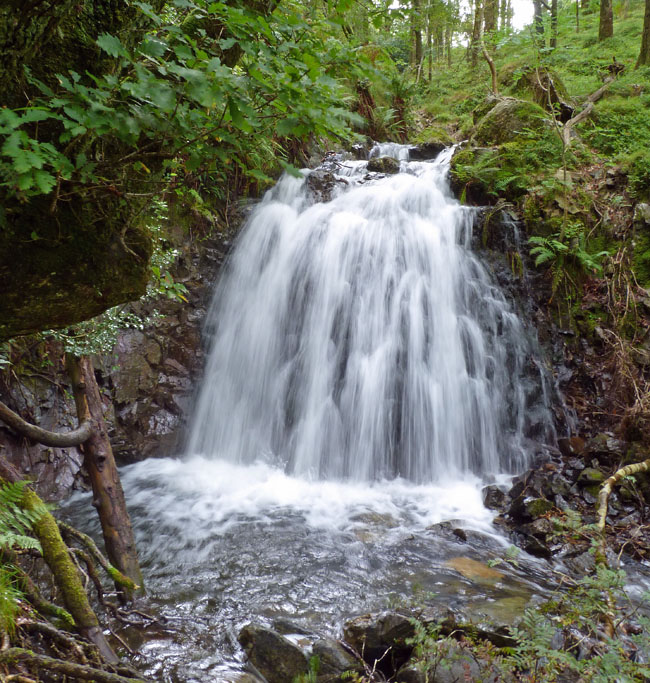
With some recent rain there was a decent flow down the gill and over the falls.
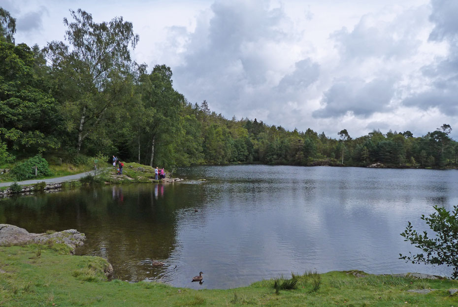
Back at The Tarns now and despite a cloudy day there were lots of folk enjoying the place.
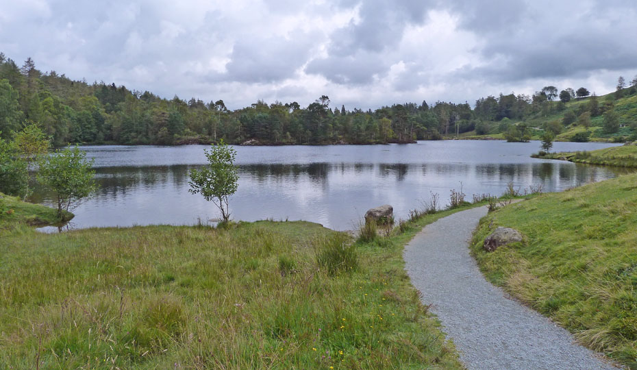
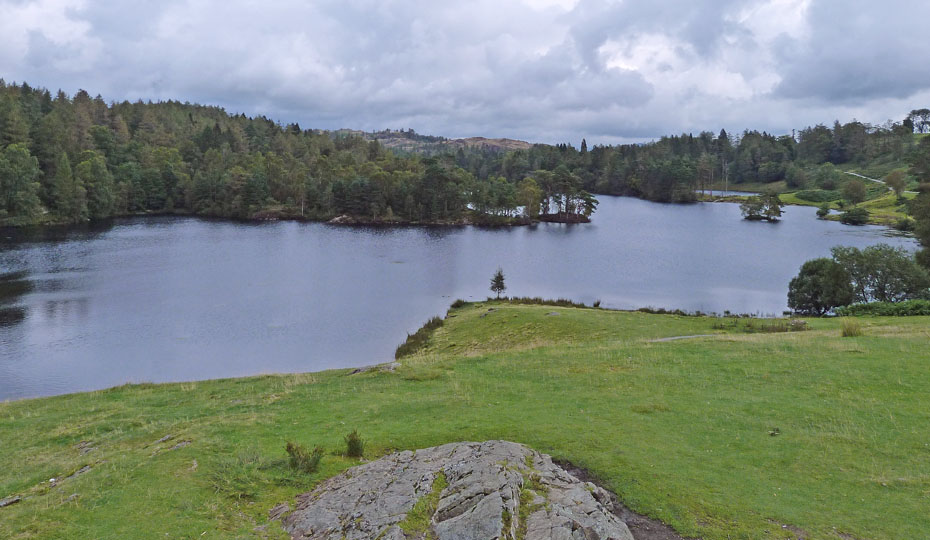
Even the northern end of the park looks to be under cloud now.
The Calendar season is upon us again. I have had a number of enquiries as to whether I will be producing a calendar this year. Once again the answer is no as I have neither the inclination to do so, or to make money out of what I enjoy. We normally support the R.N.L.I and Mountain Rescue in purchasing our calendars directly from them. However readers may be interested in this one from the Friends of the Lake District....At only £8.00 it offers good value for money and you will know that the monies raised will go to the the only charity wholly dedicated to protecting Cumbria's landscape for the future. Just clicking on the picture will take you to the website.
Next Walk: 20th August 2011 - Arnside & Silverdale AONB - Arnside Knott from Silverdale.
Last Walk: 17th August 2011 - Lake District - Heughscar Hill and The Cockpit from Askham
Do you have a Facebook or Twitter account? We post regular updates on both plus some additional pictures. Just click on either of the links below and add us.
We hope you have enjoyed viewing this walk. If you have any comments please sign our Guestbook or E_Mail us.