| Area: | Lake District | Ascent: | 1140feet |
| Walk No: | 601 | Time: | 5hours 10minutes |
| Date: | 20th September 2011 | Parking: | Elterwater NT car park |
| Distance: | 9.25miles | Weather: | Fine with sunny periods to start, cloudier towards the end. |
For those of you that are thinking of going onto the hills I would strongly recommend that you read the advice given by the Mountain Rescue organisation of England and Wales. To read this advice, which will open in a new page please click HERE. If you would like to make a donation to the Mountain Rescue organisation which is purely voluntary please click HERE. Please make the time to read the advice page.
---------------------------------------------------------------
With a fine and bright day forecast I was away as soon as I had dropped Edith off at her brothers. I was in so much haste that I managed to forget to put my snap and water in the rucsac but as it was a fairly cool day it didn't bother me too much. What did bother me however was that approximately halfway around the walk the arthritis in my neck started playing up and made things a bit uncomfortable to say the least.
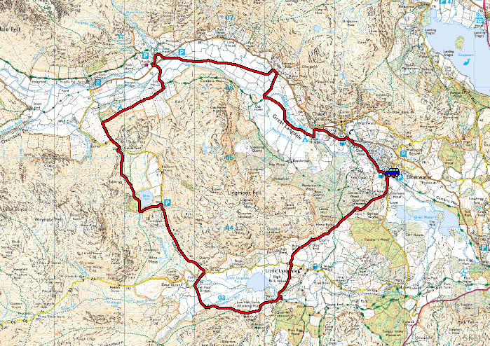
Route Map
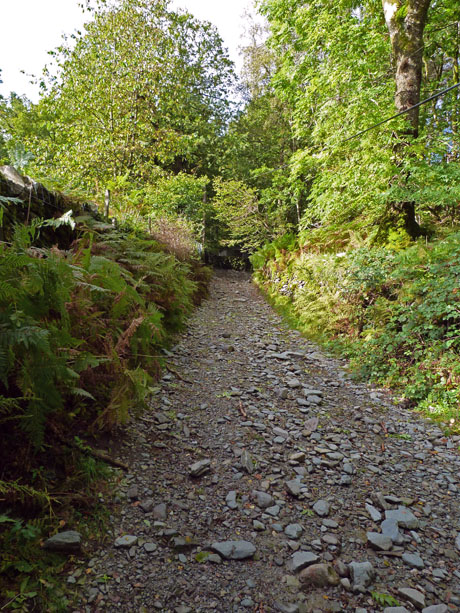
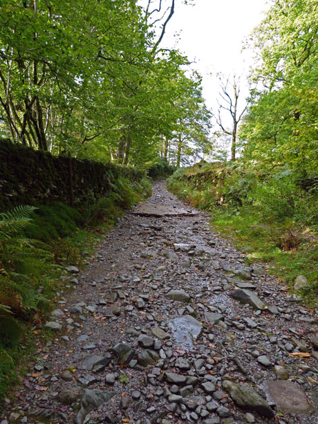
From Elterwater I walked past the YHA to take the rough lane over into Little Langdale.
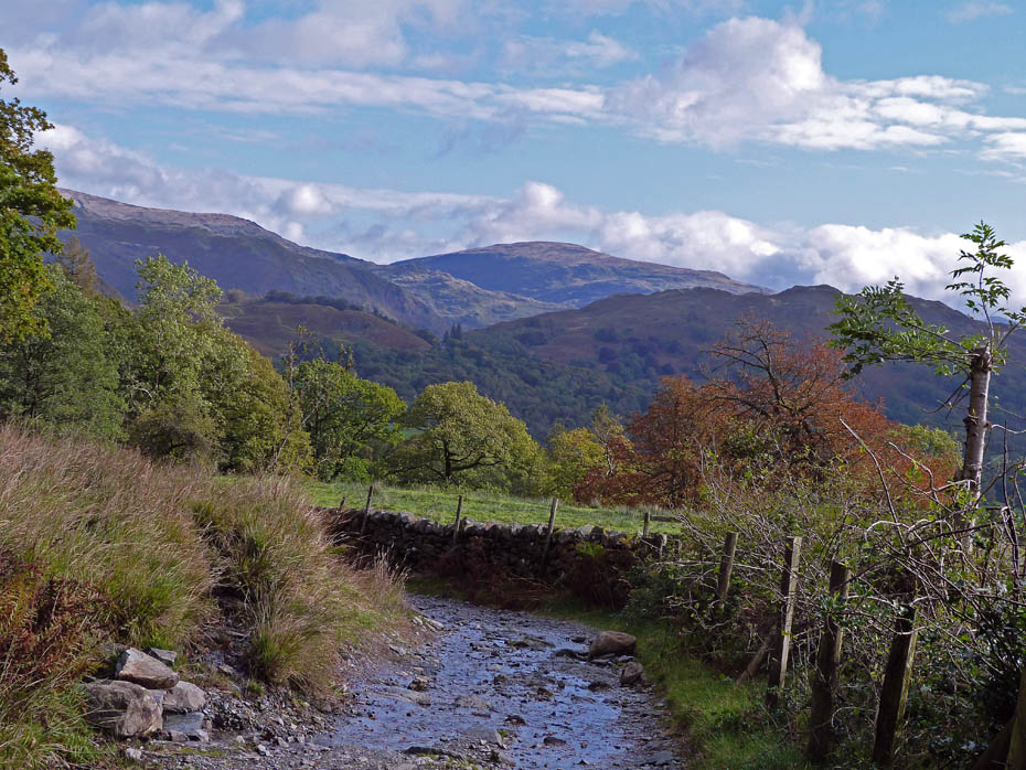
A look back as I start to gain a little height.
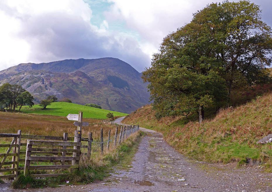
At the top of the track now and with Wetherlam ahead of me.
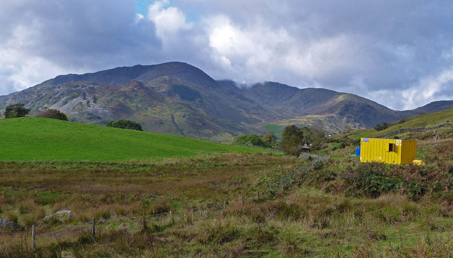
As I started the descent into Little Langdale there was a bit of work going on at the site of a nearby reservoir.
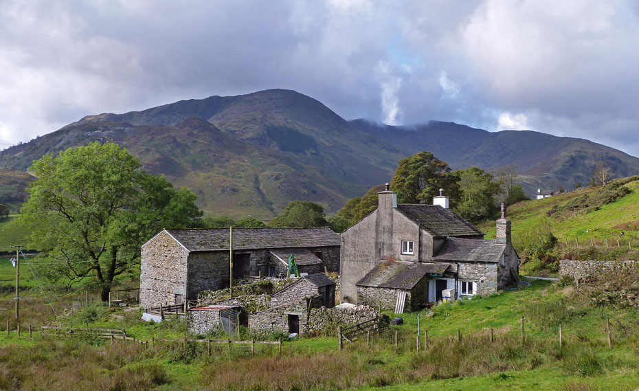
Looking over Dale Head Farm into Greenburn.
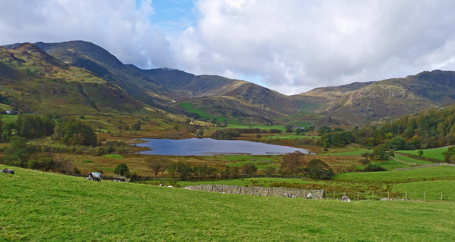
Down into Little Langdale now with the delicious Little Langdale Tarn. I used to enjoy doing the Little Langdale horseshoe from here which took in all the fells in view plus Lingmoor which is out of view to the right. Today however with things as they are I will have to make do with walking around the tarn and then back over into Great Langdale.
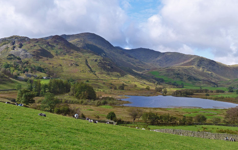
Wetherlam, Swirl How, Great Carrs and Wet Side Edge over the tarn with Greenburn in the shade below.
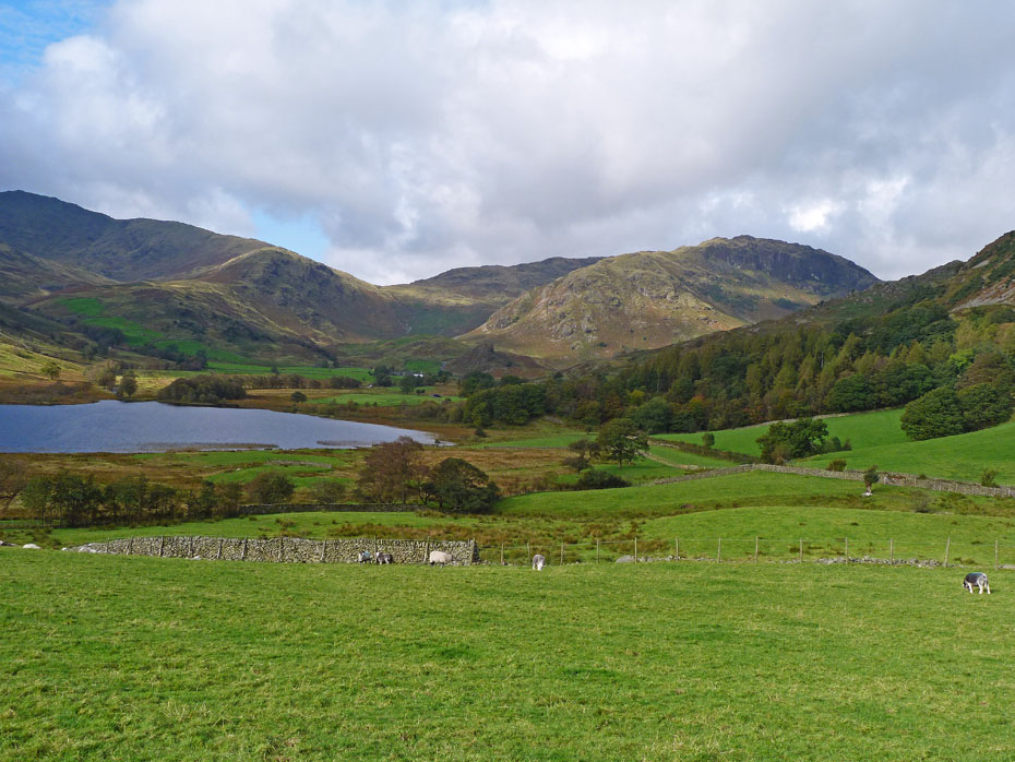
The Wrynose Pass over the white buildings of Fell Foot Farm (where I am headed) with Pike O'Blisco to the right.
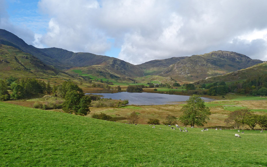
Maybe I should just stay here and chill, but a lack of water and food moves me on.
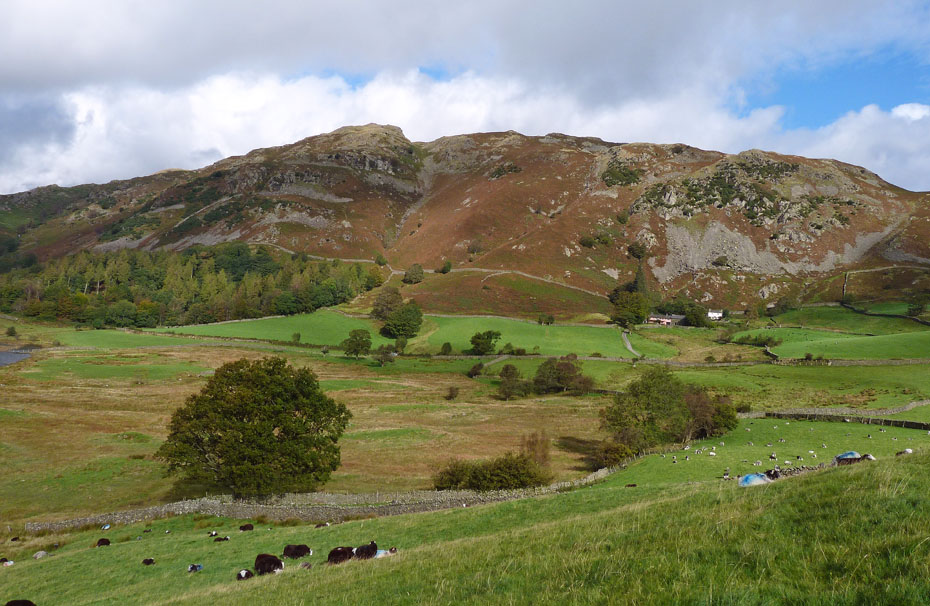
Lingmoor
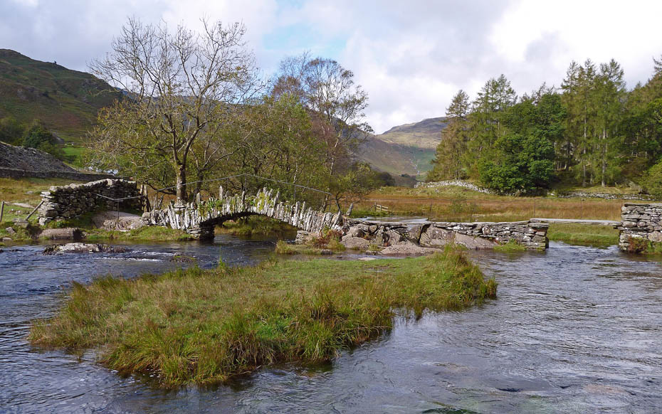
Slater Bridge, and today there's not a soul in sight.
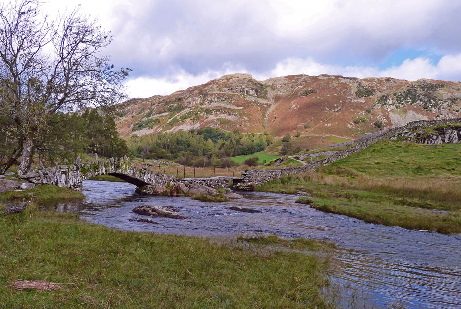
Another shot from the other side of Greenburn Beck with Lingmoor behind.
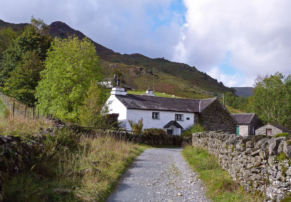
Leaving Slater Bridge I made my way along the old quarry track past Low & High Hallgarth.
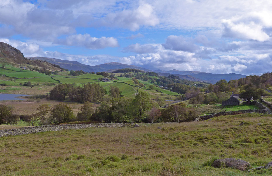
Another short rest on a bench-seat near the juncture of my path and one leading over to High Tilberthwaite with views eastwards to the fells of Kentmere.
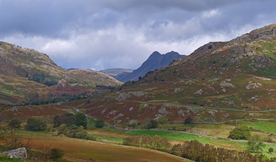
Rest over, I made my way towards Fell Foot. As I progressed the Langdale Pikes started to appear from behind Lingmoor.
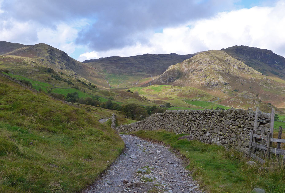
Ahead of me can be seen the road going up the Wrynose Pass.
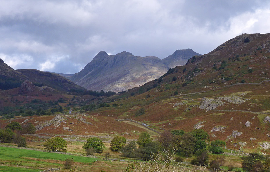
This is one of my favourite views and it gives me plenty of opportunities to stop which is just as well because my bl**dy neck is starting to play up again!......A decision on whether to carry on or retrace my steps back had to be made. I decided to carry on because as a last resort I could get the bus back to Elterwater from the Old Dungeon Ghyll if it got too bad.
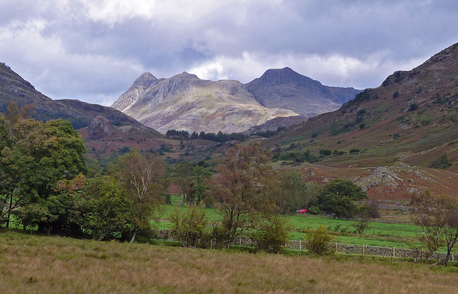
A glimpse of sunlight on the Pikes as Postman Pat makes his way up the valley.
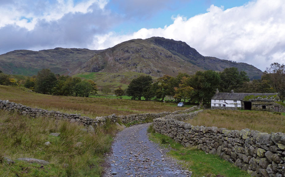
Approaching Bridge End with Blake Rigg behind.
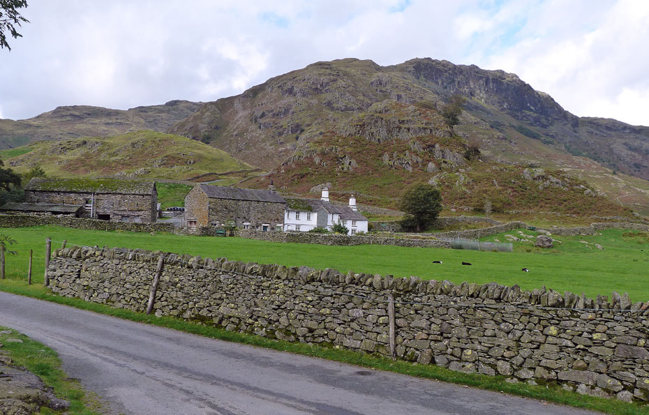
By the time I had reached the Little Langdale road I had worked out a plan. I had decided to use the road to get to Blea Tarn rather than walking past Fell Foot farm and taking the path over. This hopefully would be easier walking and better for the neck & shoulders.
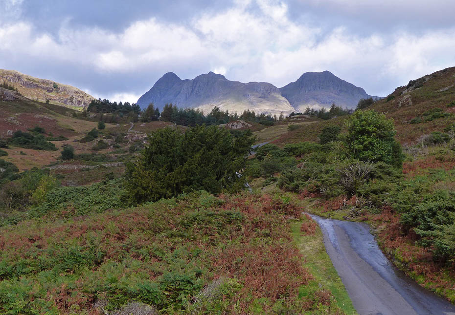
The road over to Great Langdale via Blea Tarn was very quiet, a couple of cars and three bicycles were my only brief companions along the way.
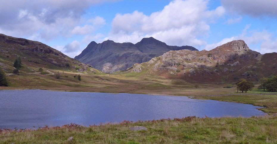
Finally at Blea Tarn and a welcome rock to sit upon. Once again it would have been pleasant to stay longer but resting doesn't help the neck and I was getting hungry.
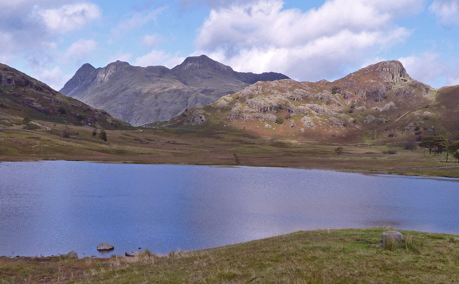
Such a pleasant place....
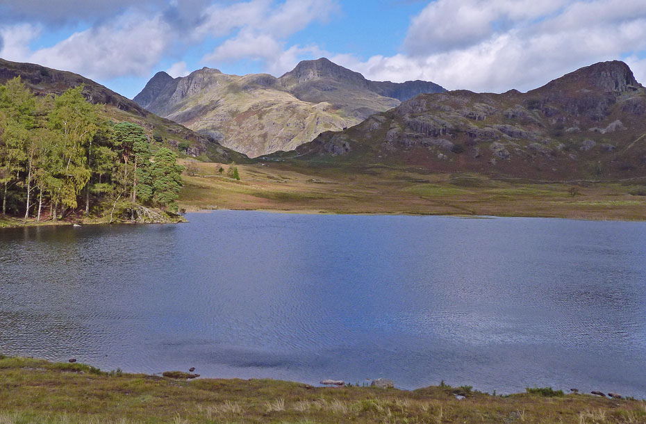
.....but time to move....I forsook the road to take the path around the tarn at this point.
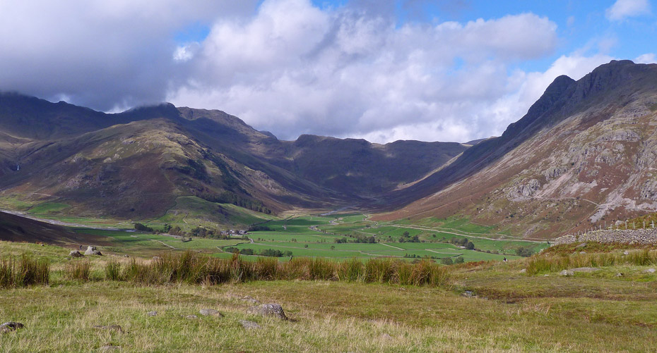
Having walked around the tarn I arrived at the cattle grid just below Side Pike with nice views into Mickleden....
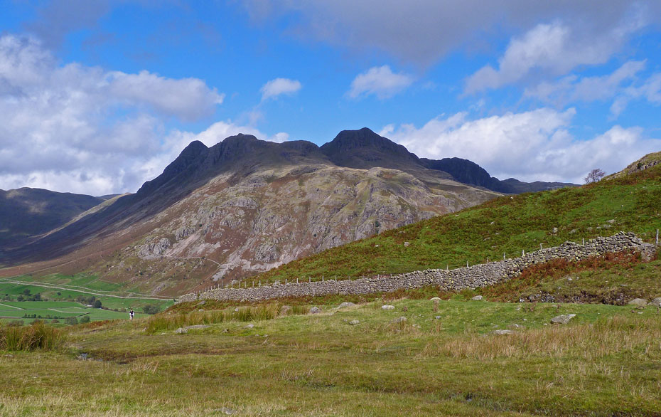
.....and over to the Langdale Pikes.
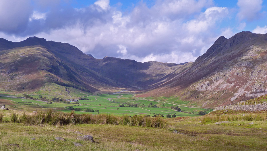
Mickleden.......walked up and down there a few times.
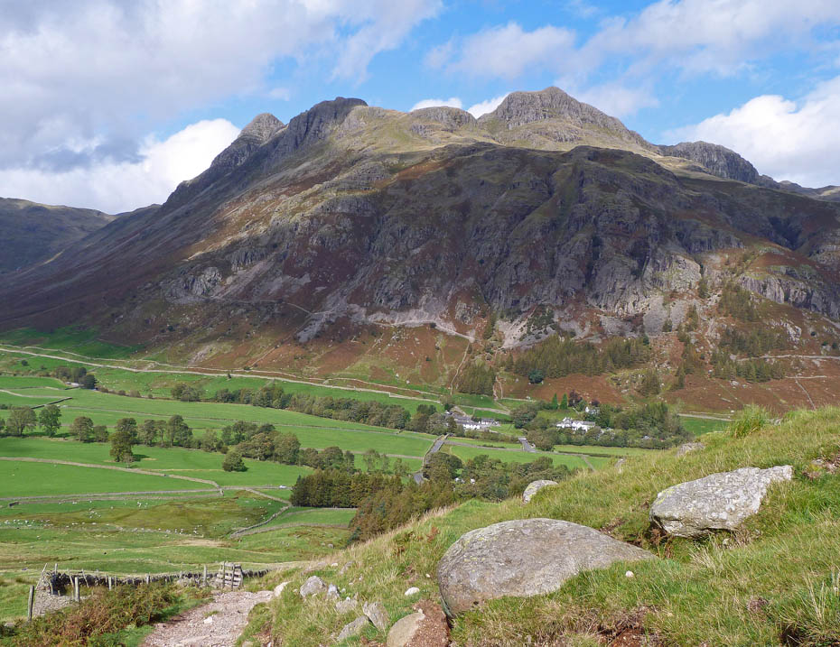
I took the path leading down to the National Trust Campsite

My original plan had been to go to the Old Dungeon Ghyll seen here below me but I had another change and shortly after this picture was taken headed off to the right to pick up a path to Side House near the Sticklebarn. I thought this would save me time and distance which it probably did but the fellside was very wet and slippy, so it didn't seem that way.
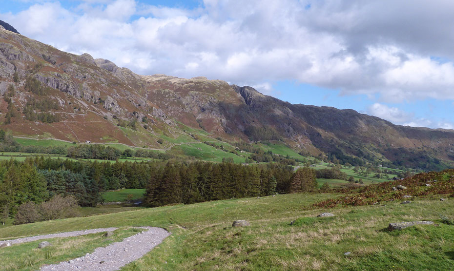
Looking down Great Langdale from where I left the path.
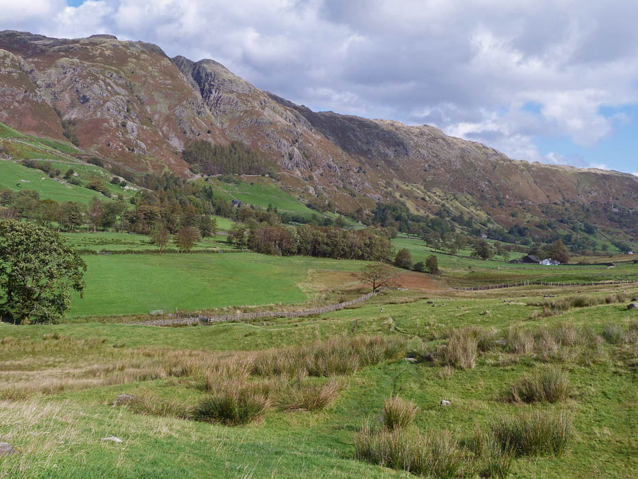
Making my way to Side House seen ahead.
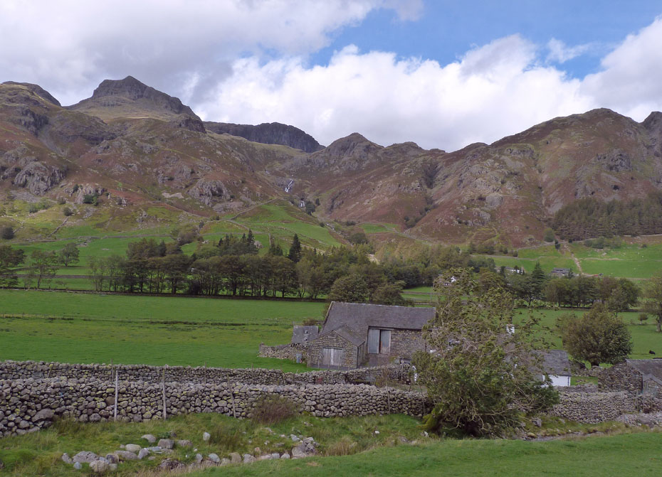
Looking up Stickle Ghyll as I arrive at Side House. From here I went to the Sticklebarn where a bowl of soup and a bun + a pint of bitter shandy was taken on board before....
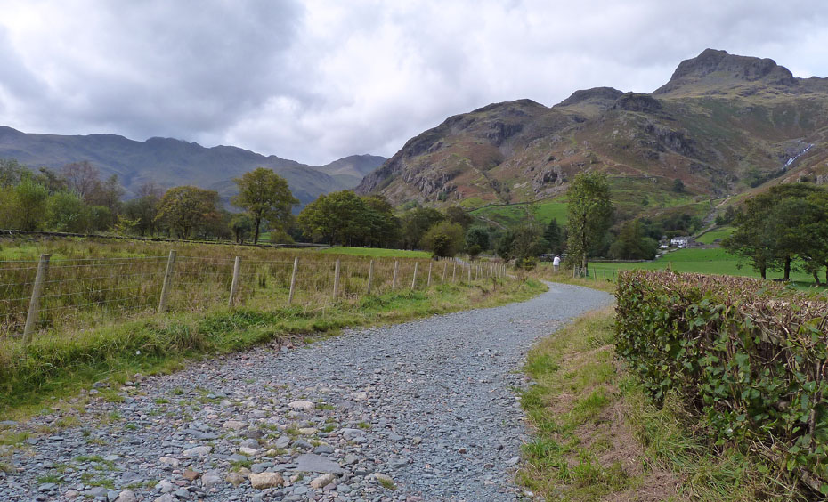
....a return was made along the track of the old Langdale road.

As I returned the day seemed to be altering a little. Although still fine the sun made less appearances and the clouds seemed to darken.
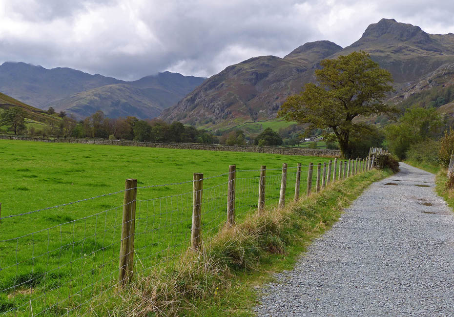
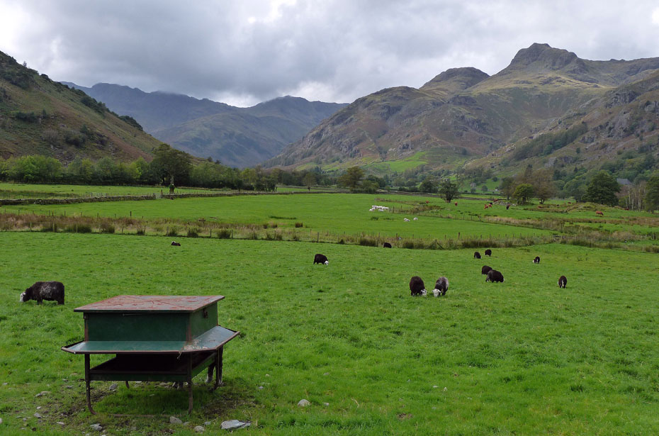
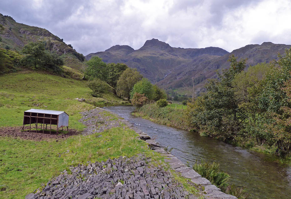
A look back from the footbridge over Great Langdale Beck near Oak Howe
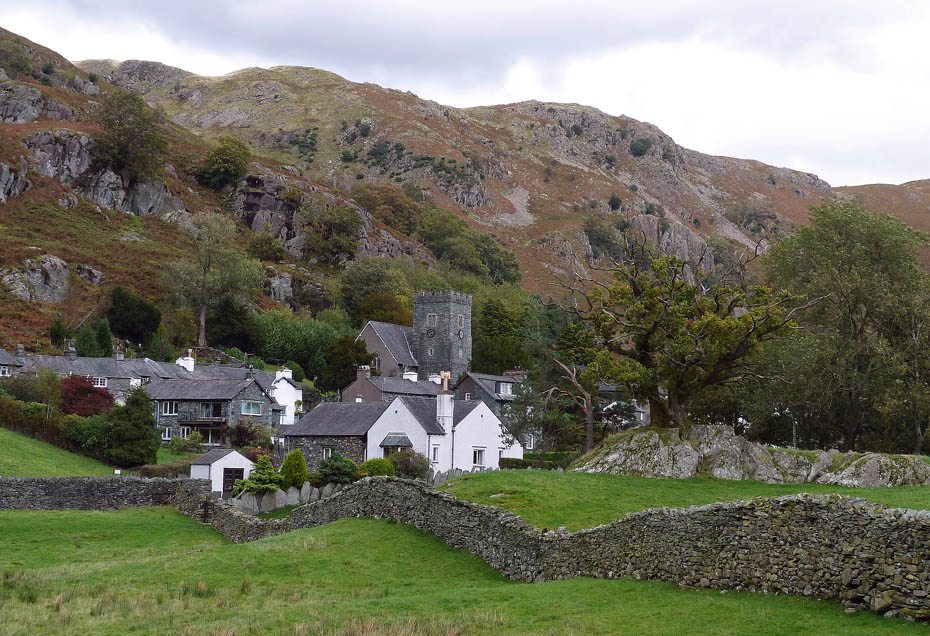
Passing by Elterwater.....
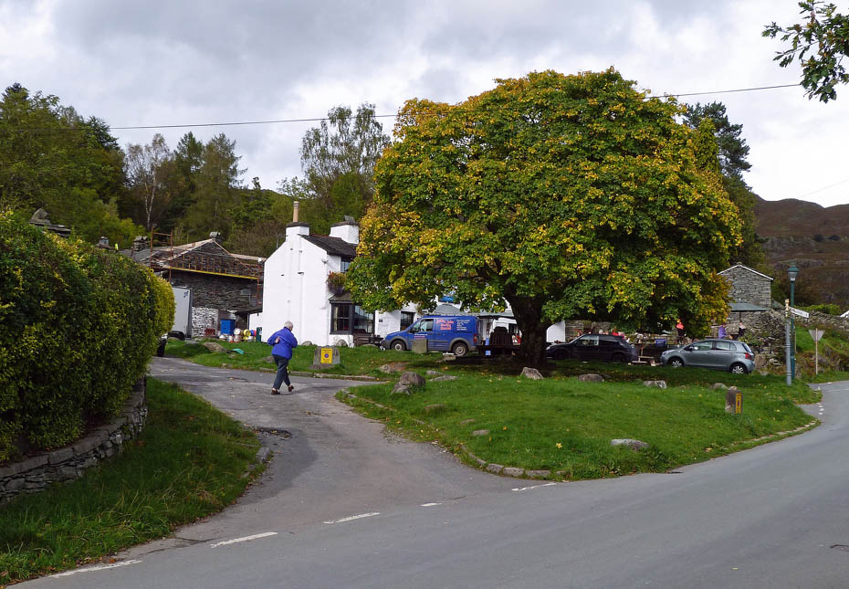
.....and finally, back at Elterwater.
Next Walk: 22nd September 2011 - Arnside & Silverdale - The Knott from Arnside.
Last Walk: 18th September 2011 - Yorkshire Dales - The Dead Man's Cave & Celtic Wall from Buck Haw Brow.
Join us on Facebook for regular updates.
Dave Brown Wainwright-Wanderings

Create your badge
We hope you have enjoyed viewing this walk. If you have any comments please sign our Guestbook or E_Mail us.