
| Area: | Yorkshire Dales (W) | Ascent: | 890feet |
| Walk No: | 600 | Time: | 3hours 15minutes |
| Date: | 18th September 2011 | Parking: | Lay-by on B6480 near Buck Haw Brow |
| Distance: | 6.50miles | Weather: | A misty start becoming brighter. |
For those of you that are thinking of going onto the hills I would strongly recommend that you read the advice given by the Mountain Rescue organisation of England and Wales. To read this advice, which will open in a new page please click HERE. If you would like to make a donation to the Mountain Rescue organisation which is purely voluntary please click HERE. Please make the time to read the advice page.
---------------------------------------------------------------
I was by myself for this walk Edith wanted to stay at home with our aging cat as he hadn't been too bright the previous day. As I drove along the promenade at Morecambe it didn't look too good across the bay so I made my first change of plan for the day and decided on going to the Dales. It wasn't to be my only change of plan as my walk progressed.
Route Map
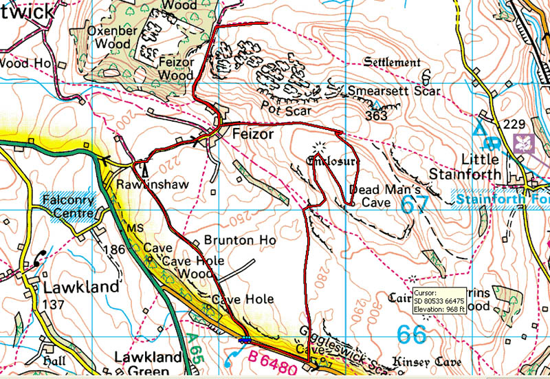
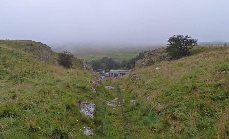
Having left the car in a large lay-by I walked up the road to access the fellside opposite the old Scar Top Garage. It was quite misty at this point but I was hoping that it would clear.
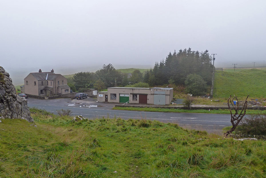
A short climb on rather wet and slippy grass to start..
....and then the views really opened up. Just imagine a distant Pendle Hill over the garage.
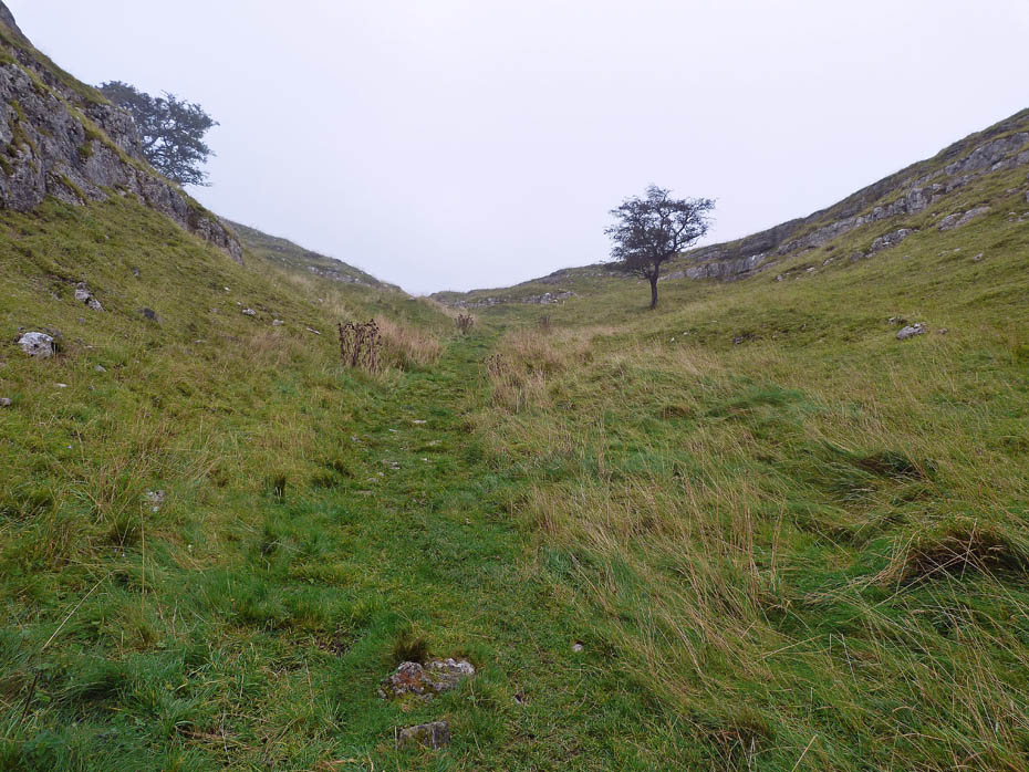
There are no problems with route finding however despite me not having a map. I have walked this area many times and the path despite me rarely seeing anybody on it, is well trodden. At this point my plan was to walk to Feizor and take it from there dependant on the views.
As I made my way along the grassy track the mist started to thin and for a brief moment the sun could be just seen through it.
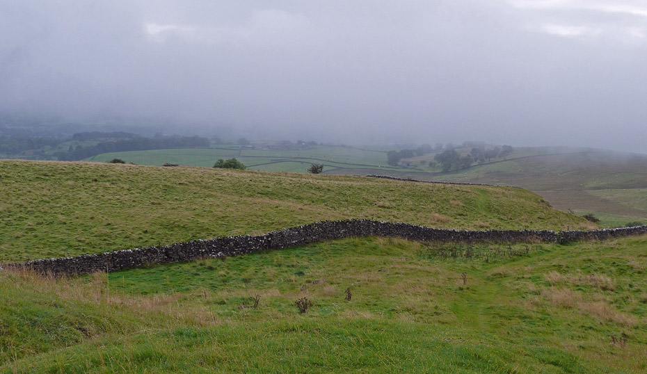
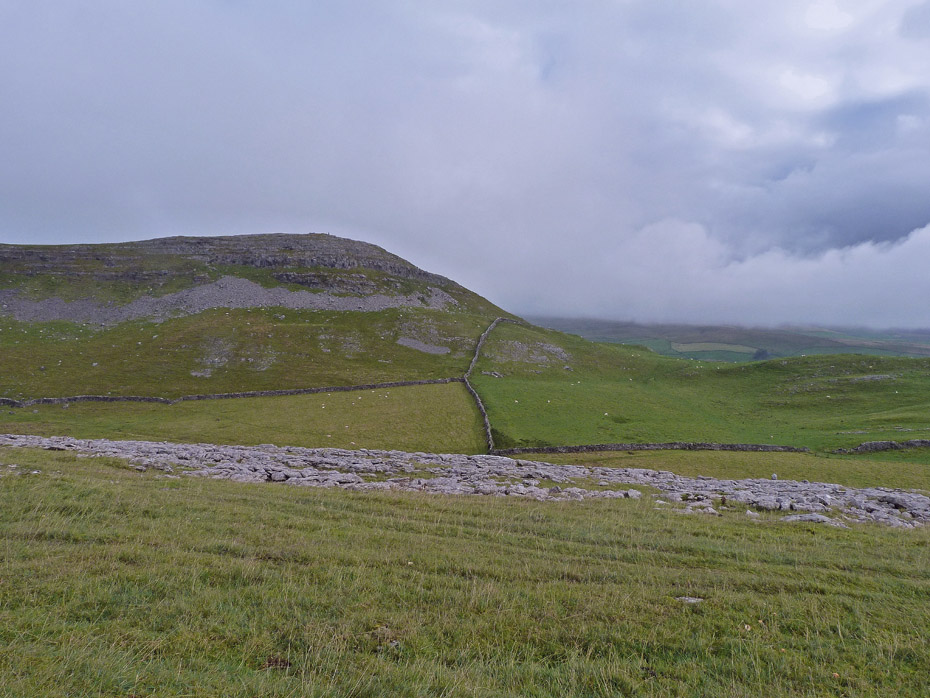
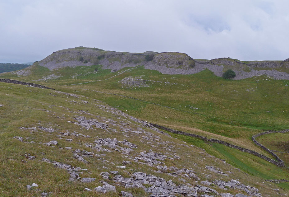
Reaching the wall corner and a change of plan was being formulated. I decided to visit the Dead Man's Cave and then the Celtic Wall. That's Pot Scar ahead of me.
I seem to recall that the fingerpost was broken the last time I here. To the left, the path to Feizor. To the right the one to Stackhouse. My route would be onto Feizor Thwaite, that lump in between me and Pot Scar. You can just see my path on the far right of the picture.
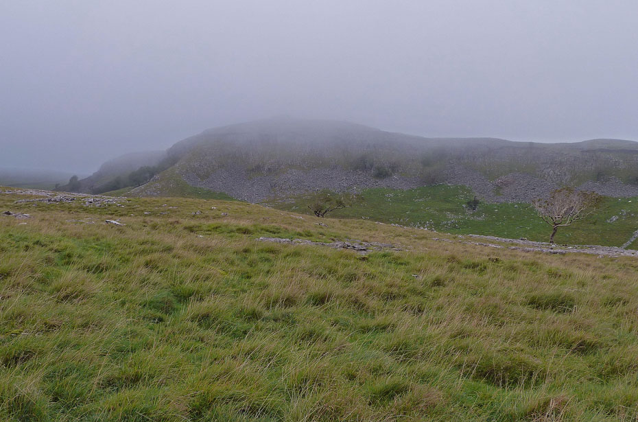
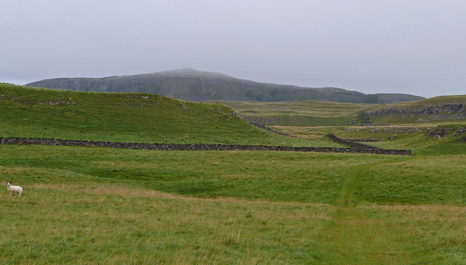
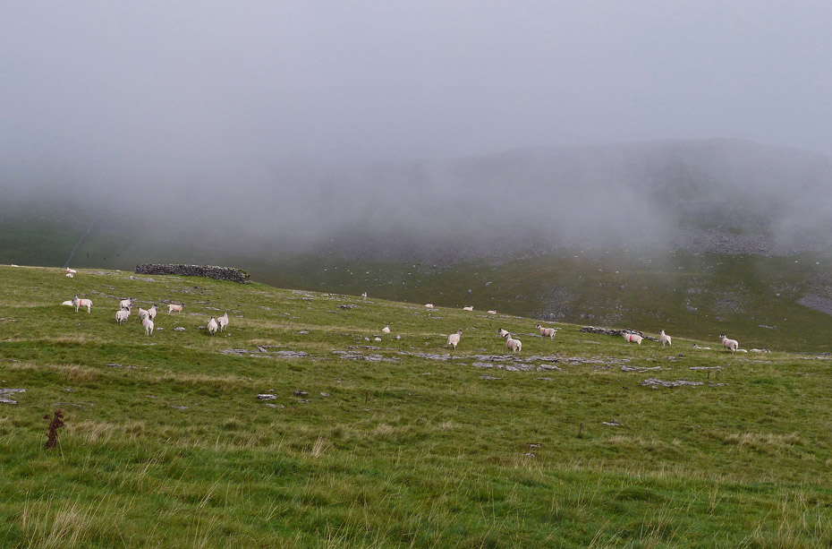
Reaching nearly the highest point on Feizor with Pot Scar ahead and the misty stuff came again. It was never thick enough to give any problems, just to mess up views.
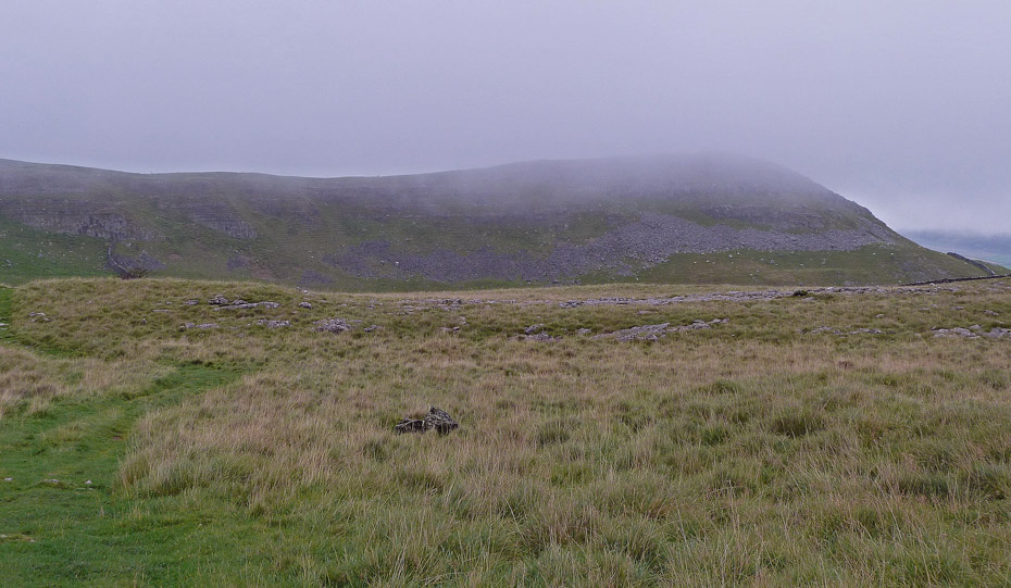
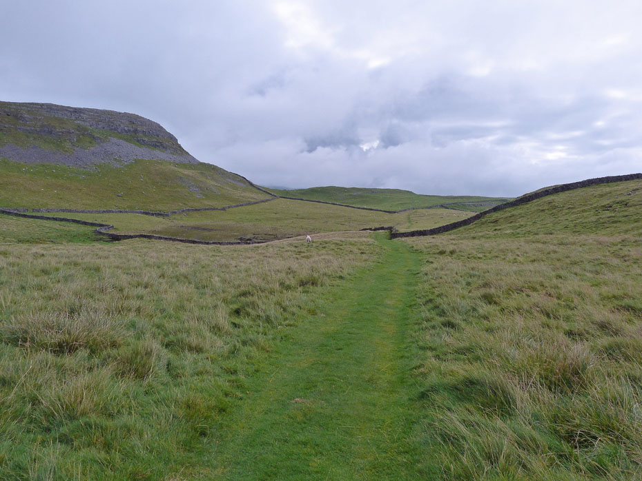
This is where I left the path over Feizor Thwaite to almost double back on myself along a farmers path which leads to a locked gate. There's Smearsett Scar ahead.
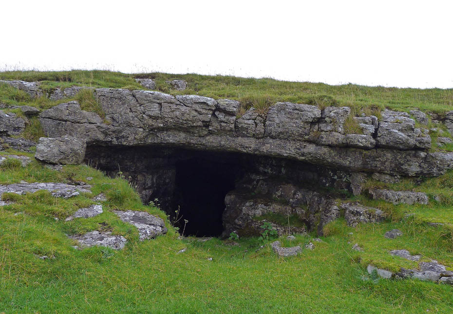
After climbing the gate it is only a few yards to the Dead Man's Cave.
‘Under the wall in this field is an opening in the limestone called Dead Man’s Cave. The entrance is large enough to admit the height of a man, and the cavern is accessible for a length of about 80 yards. No discoveries have been made in it within present recollection.’.....an extract from H Speight's 1892 edition of 'The Craven and North West Yorkshire Highlands'
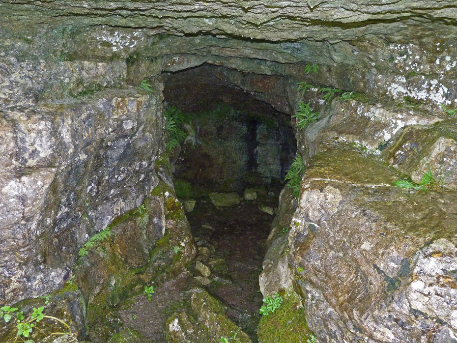
80 yards it may be, but this is far enough for me!!
From the cave it was a short walk N'wards to pick up the Celtic Wall. The best section is to the left with a lower piece to the right.
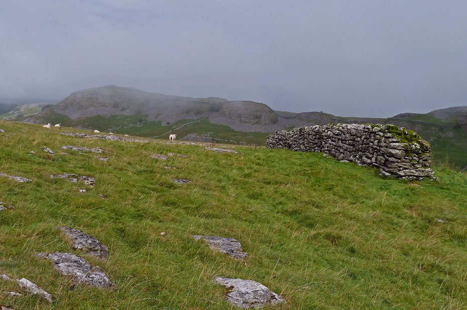
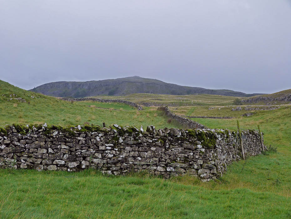
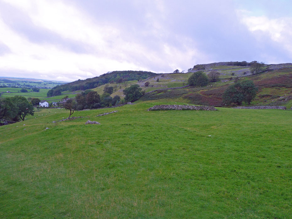
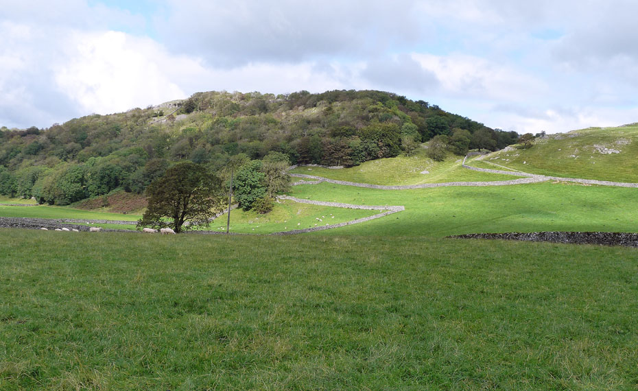
Pot Scar and the Celtic Wall.
"A strong limestone wall approx 65' in length, 5' in height and 5' wide at the base. (60yds E is a smaller fragment of wall with adjacent foundations from which the stones have been removed). The appearance of the wall, at first glance, suggests that it was built as a shelter for sheep, such structures being common in the the district, but it's unusual thickness and obvious age support a conjecture that it's purpose was that of a defensive shield for an ancient encampment in the valley, the earthworks of which can still be traced. Excavation of the sites of similar walls, however, has revealed them to be places of burial and this was probably the use here. The wall is not seen from the paths in the vicinity and stands in lonely isolation on an elevated and unfrequented pasture, it's remoteness (and surprising omission from Ordinance maps) no doubt accounting for it's excellent preservation. This interesting survival from the past, thought to be over 2000 years old, is known to local historians as the Celtic Wall."......A Wainwright..."Walks in Limestone Country"
However a local historian suggests that it is not
thought to be as old as the name Celtic may suggest. It is built over a burial
mound but again, it is not thought that the burial ground has anything directly
to do with the wall.
The style in which the wall has been built would suggest it is Medieval in
origin and one school of thought is that it was built as a means of defining a
boundary (apparently boundary disputes were quite common in those days). It also
appears to have been rebuilt in places, probably around 17thC or 18thC.
It is also thought that the stone used to build the wall was part of a clint
clearance from the surrounding limestone pavement, borne out by the now smooth
limestone pavement and the stones used in the wall are the same as the limestone
pavement itself.
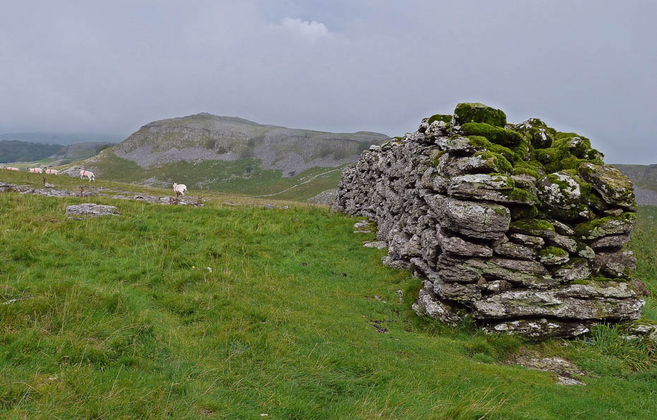
It really is a splendid structure and the mist is lifting again.
From the Celtic Wall I made my way down into what AW refers to as Happy Valley.
Thin wet & muddy grass on an underlying bed of limestone meant it was a tad slippy in places but I was soon down.
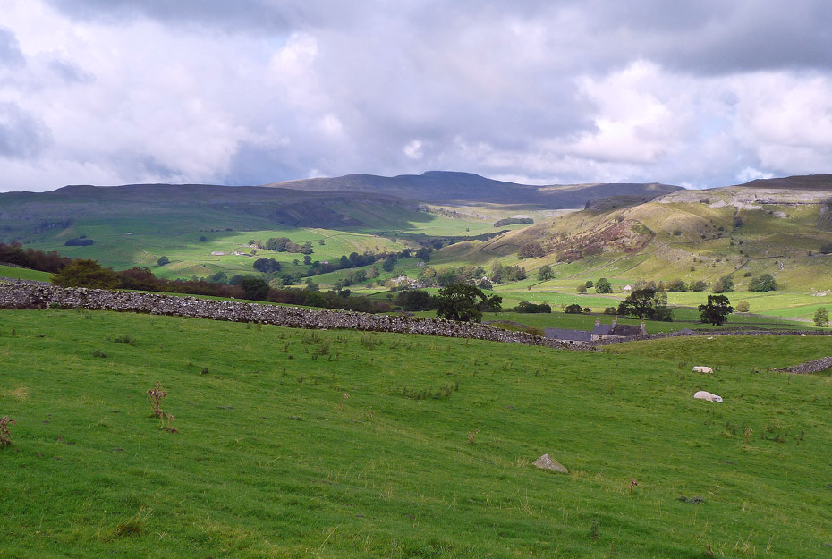
This path through the valley leads between Feizor and Little Stainforth.
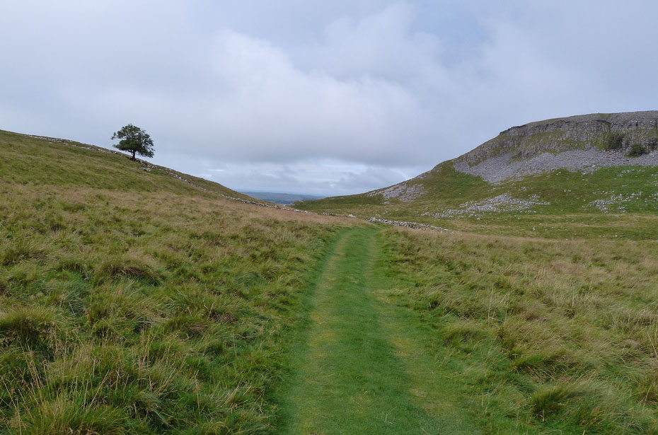
This way to Feizor and it's definitely brightening.
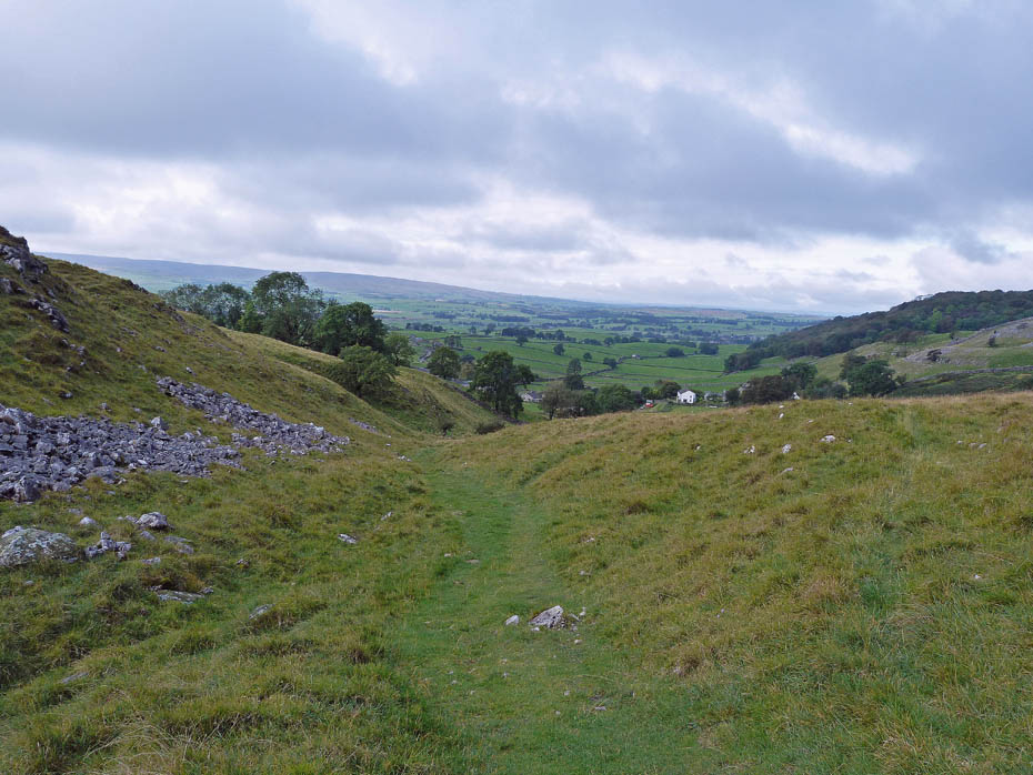
Descending to Feizor.
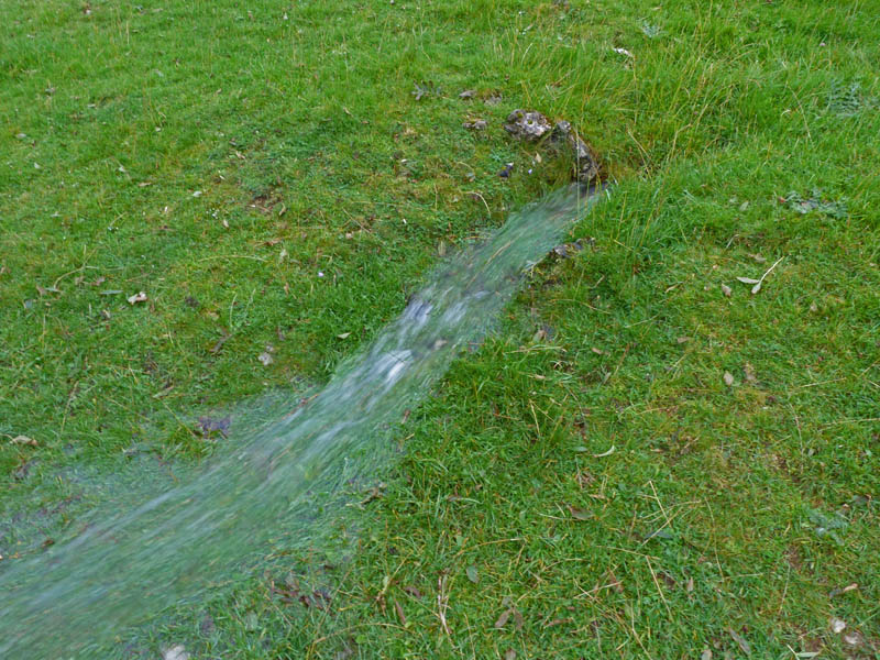
I was fascinated by this spring. It was on a banking set at around 40° and the force of the water being emitted after lots of recent rain meant it didn't touch the ground for the first 3 feet or so.
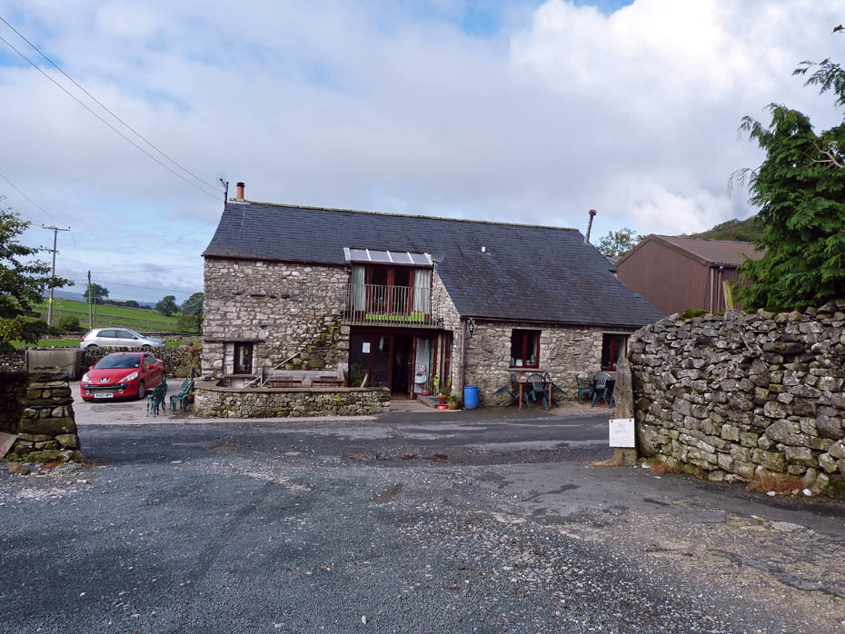
The path emerges into Feizor right opposite Elaine's Tea Room. After a quick cuppa & cake I decided to have a wander up the Pennine Bridleway hoping the day would brighten further.
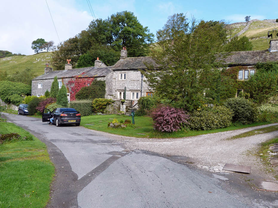
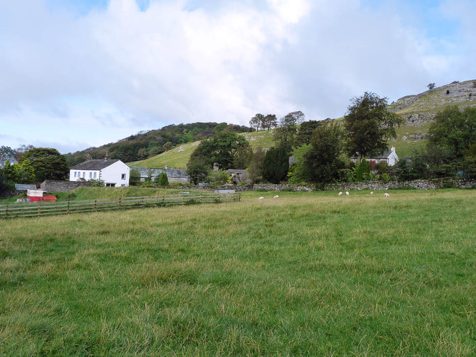
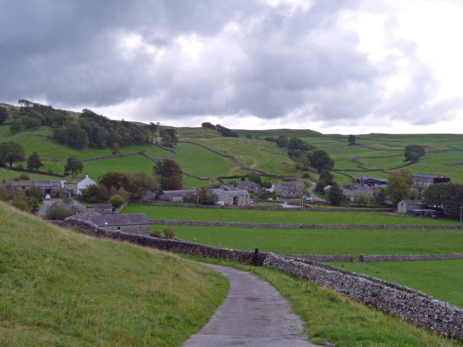
Cottages at Feizor.
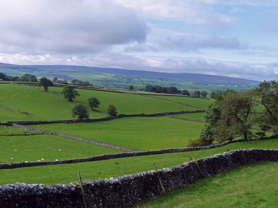
Brightening over Bowland.
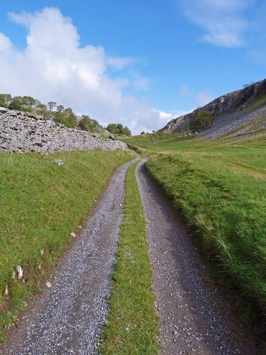
Blue skies and very warm now as I make my way up the Pennine Bridleway.
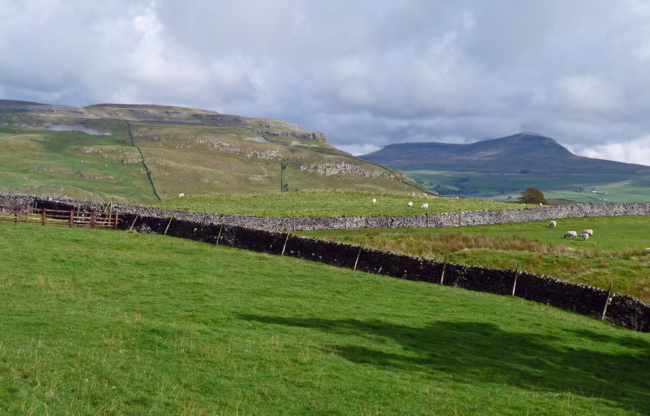
YES!!!....this is what I had been hoping for. Just a short walk now alongside the wall going off to the right will take me to one of my favourite viewpoints for Pen y ghent.
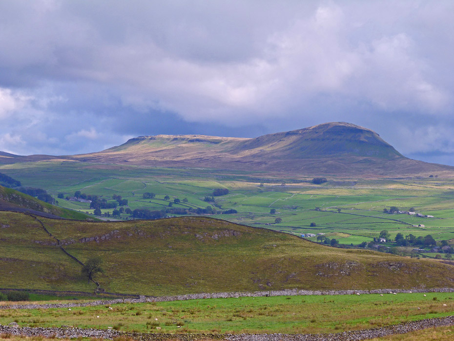
I love this view. Just a bit more sun would have been better though.
Looking the over way to Ingleborough over Crummackdale
Eventually I was rewarded with a touch of sun on Pen y ghent.
Making my way back down to Feizor.
A look back to Feizor Wood....
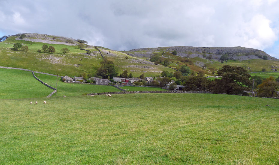
....and to Feizor as I make my way back to the car.
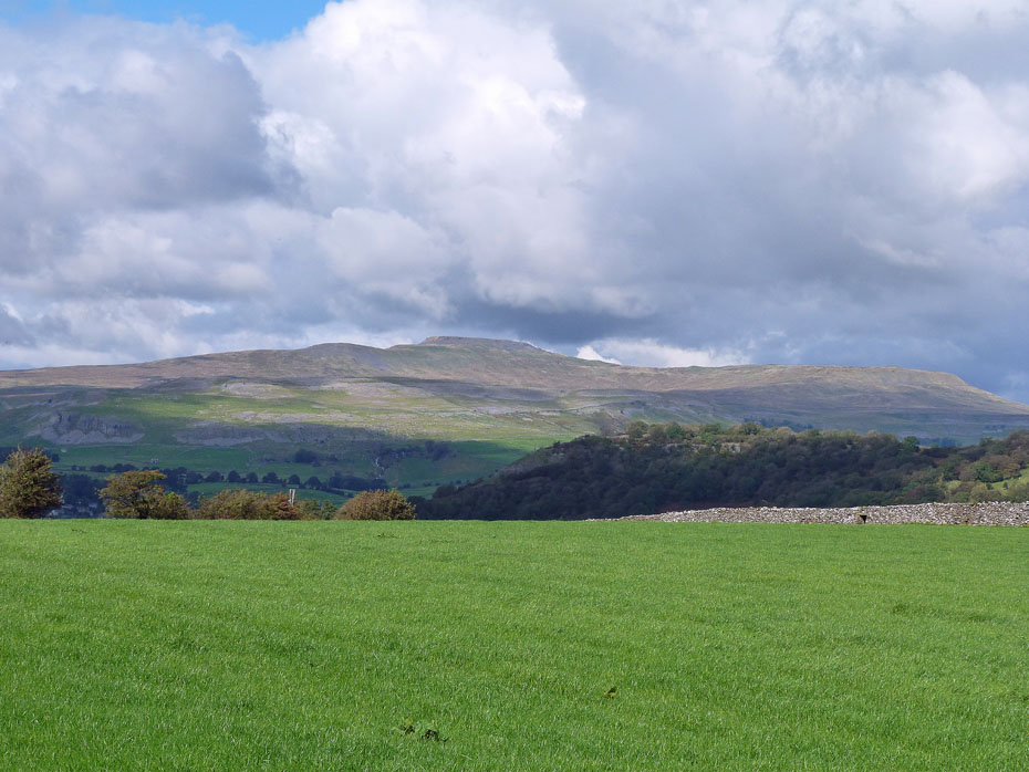
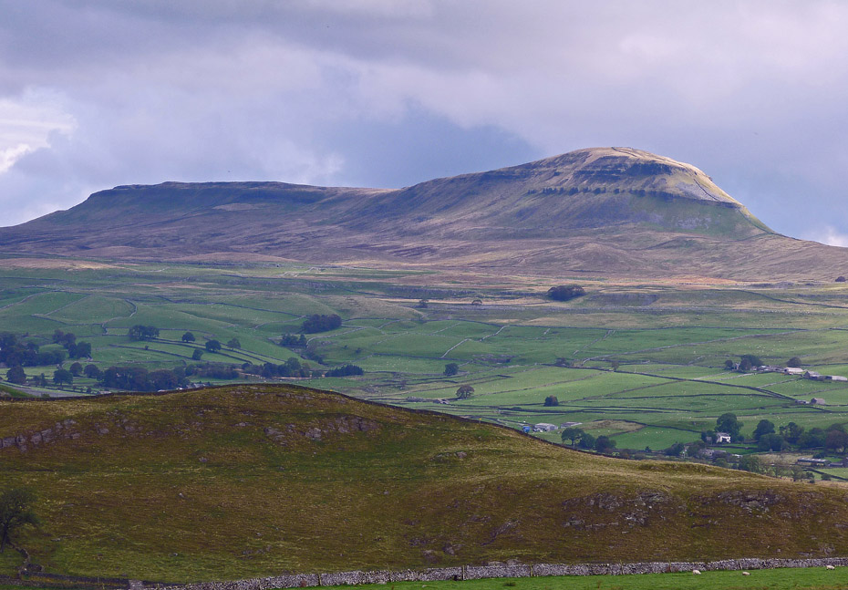
Ingleborough and Simon Fell.
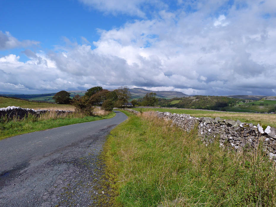
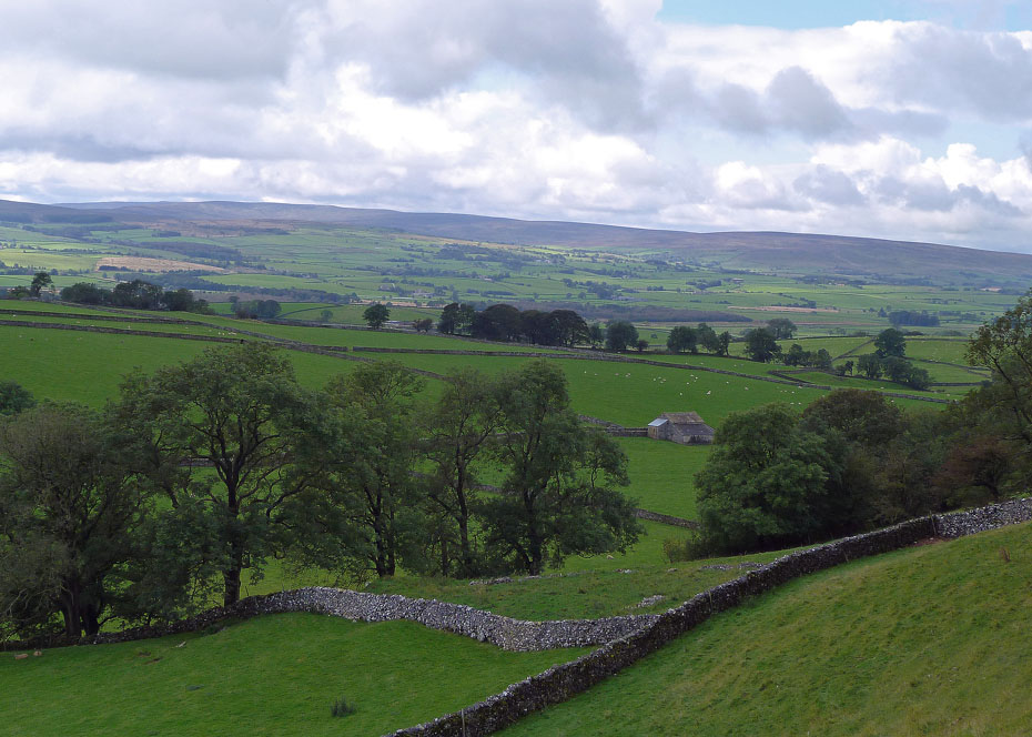
A look back along the quiet lane back to the car.
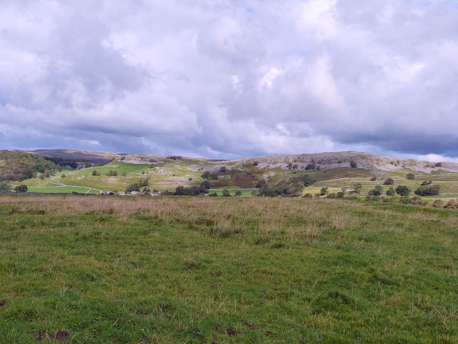
A view of Pot Scar.
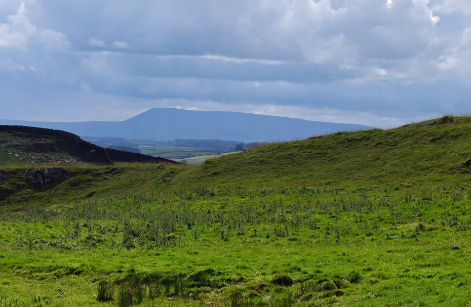
Even Pendle Hill as come out to play in the sun.
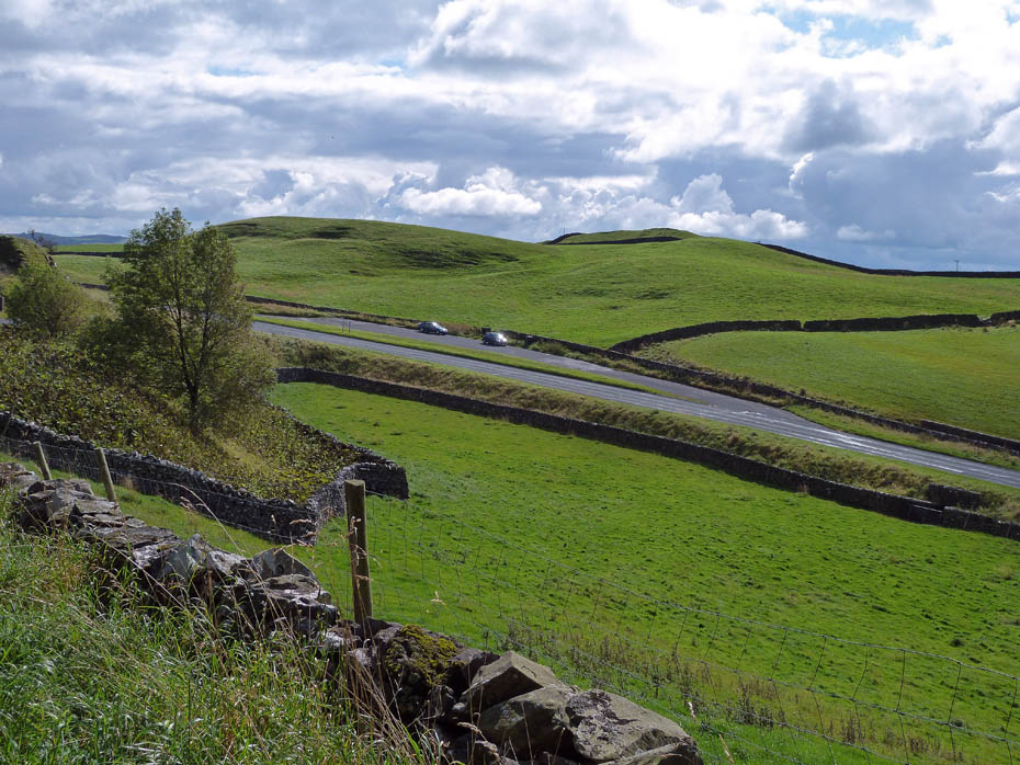
And finally....almost back to the car.
Next Walk: 20th September 2011 - Lake District - A Lingmoor Circular
Last Walk: 15th September 2011 - Lake District - A Elterwater walkabout
Join us on Facebook for regular updates.
Dave Brown Wainwright-Wanderings
![]()
Create your badge
We hope you have enjoyed viewing this walk. If you have any comments please sign our Guestbook or E_Mail us.
