| Area: | Lake District | Ascent: | 770feet |
| Walk No: | 616 | Time: | No idea!!! |
| Date: | 26th October 2010 | Parking: | Roadside at Staveley |
| Distance: | 4.75miles | Weather: | Dull at first, becoming brighter. |
For those of you that are thinking of going onto the hills I would strongly recommend that you read the advice given by the Mountain Rescue organisation of England and Wales. To read this advice, which will open in a new page please click HERE. If you would like to make a donation to the Mountain Rescue organisation which is purely voluntary please click HERE. Please make the time to read the advice page.
---------------------------------------------------------------
We had pencilled this walk in for later today as the day started very dull but was due to brighten later. However when Edith phoned Roger who is Jess's owner he said that he had to leave home around 10am for a quick visit to Scotland. We said that we could make it and threw the boots and bags in the car and were soon on our way.
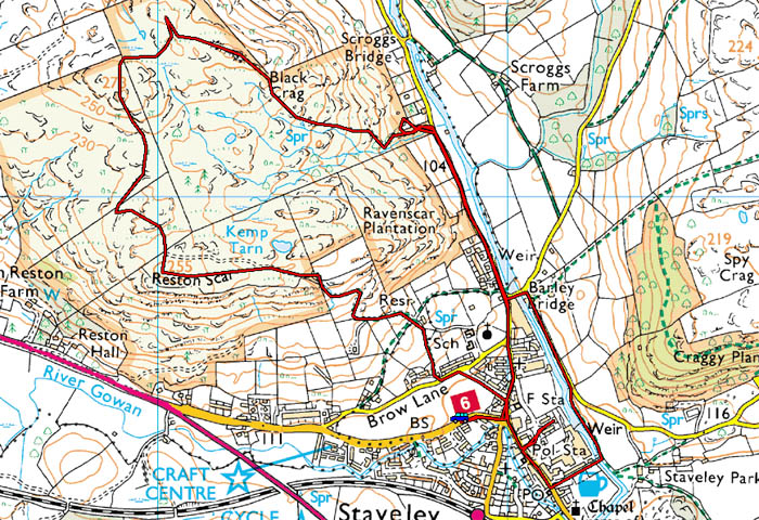
Route Map
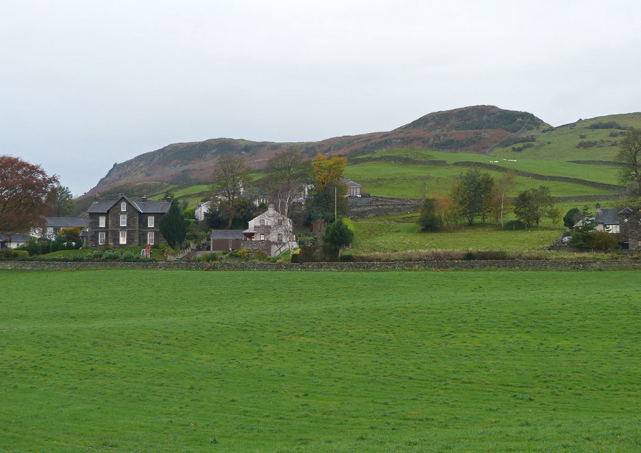
We arrived at Staveley around 0930hours and parked up at the roadside in the village. It was a rather dull morning but according to "Met-man Mooney" on Radio Cumbria it will brighten later.
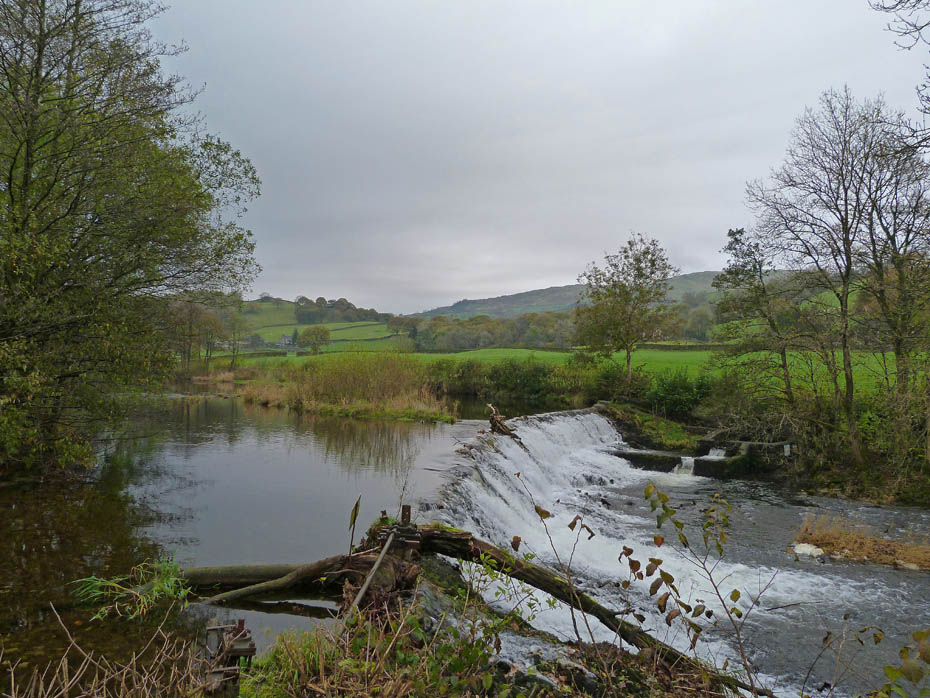
While Edith hurried up the Kentmere road to the bungalow I took a more leisurely pace (as per normal) stopping off at Barley Bridge for a picture of the weir...
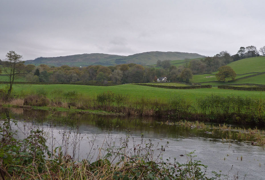
....and from a little further up the road a view over to Scrogg's Farm and Brunt Knott.
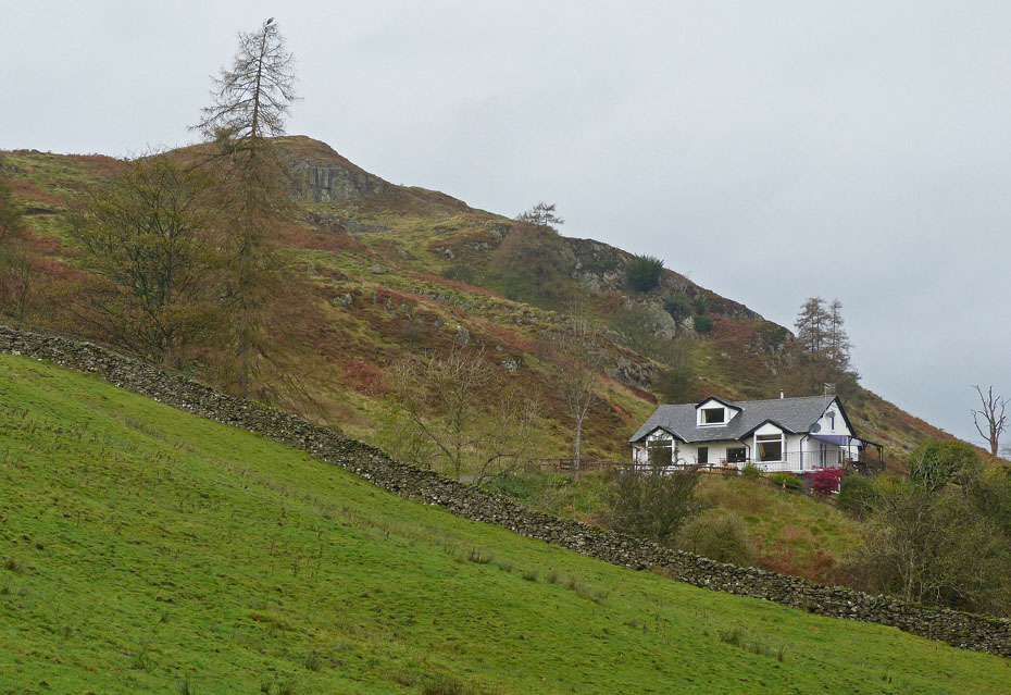
The Bungalow. Edith will be there now and wondering where the heck I am.
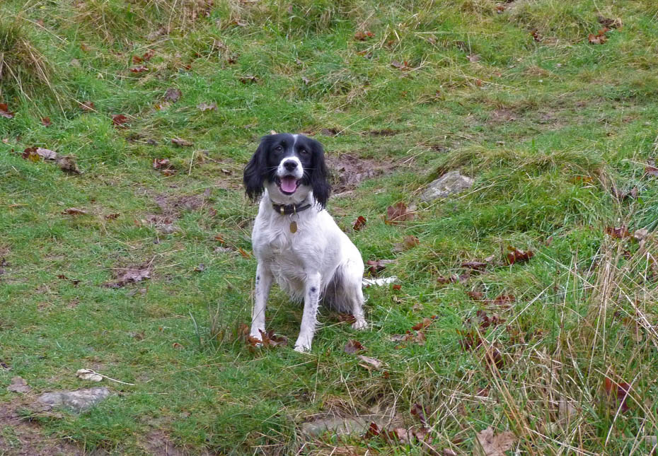
Eventually I reached the bungalow to find this young lady waiting. Edith was with her owner busy chatting so we had to go and get her.
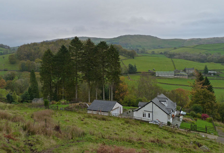
We were soon on our way up the fellside which because of its gradient I am finding it a bit difficult. However if I take plenty of short stops to regain my breath I can still manage.
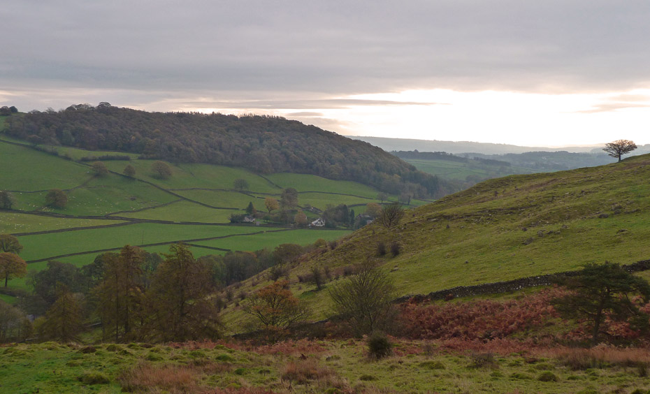
Anyway it gives me plenty of opportunities for getting pictures although today being so dull they aren't that good. Hopefully that brightness over Craggy Plantation will move this way.
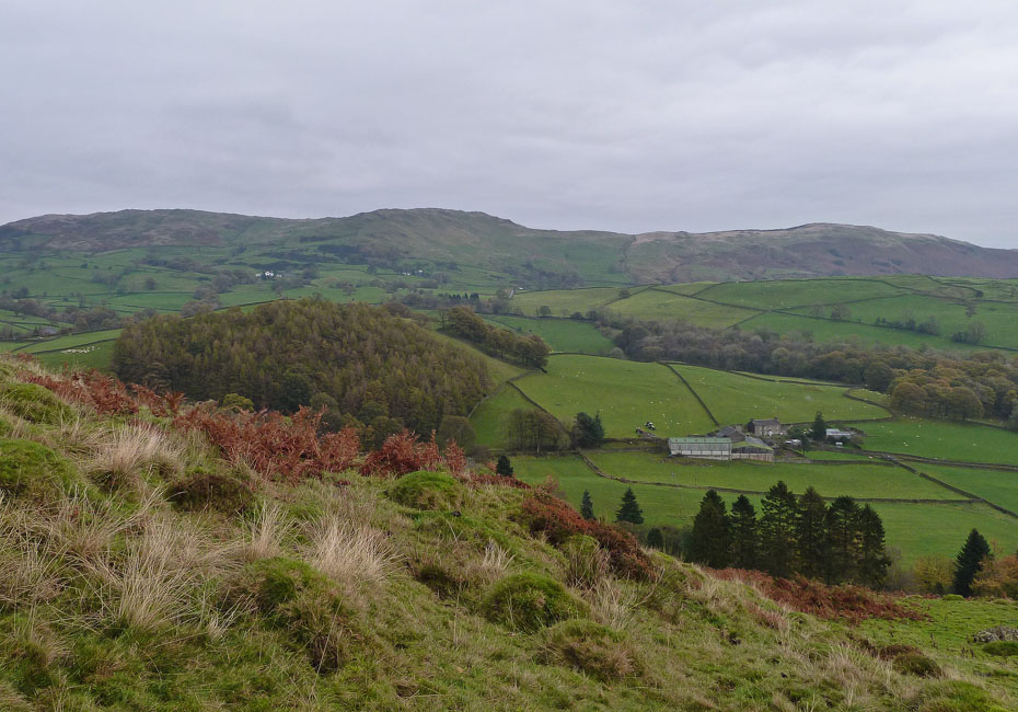
Slowly but surely we gain a little height...
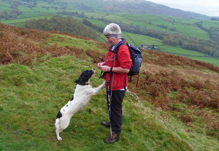
....so Edith decides it's time for a small treat. Jess of course agrees wholeheartedly.
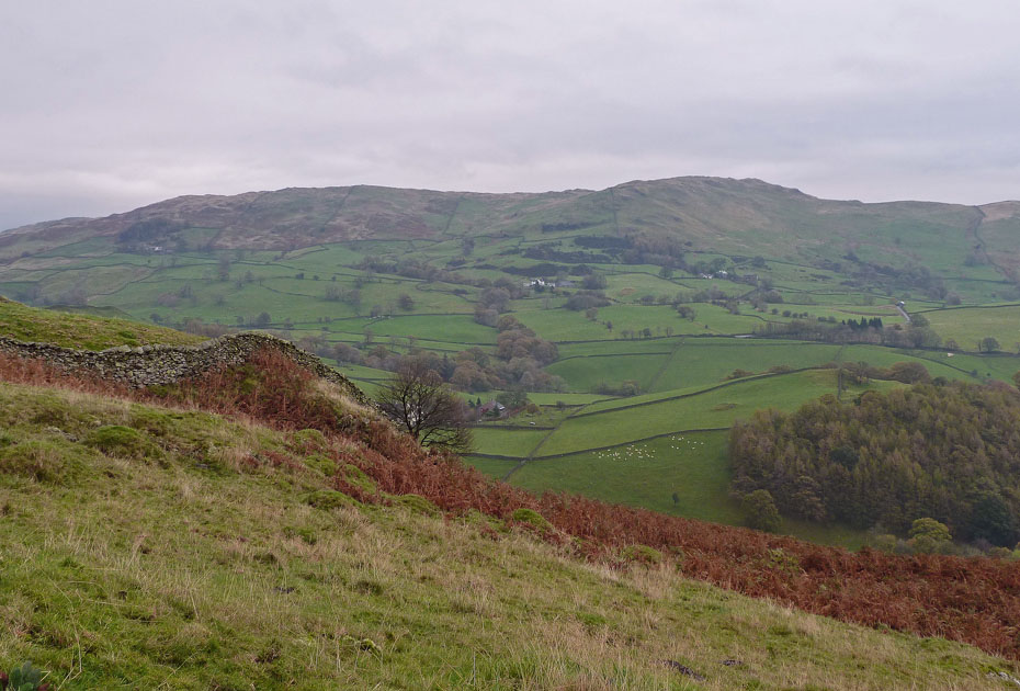
The hard work is over now as we approach the wall corner just below the Wainwright summit.
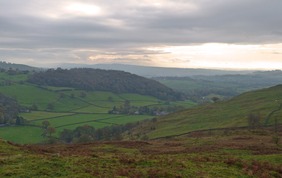
I think it is getting closer but only slowly.
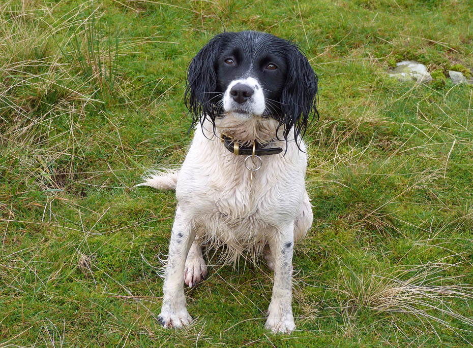
Cute!
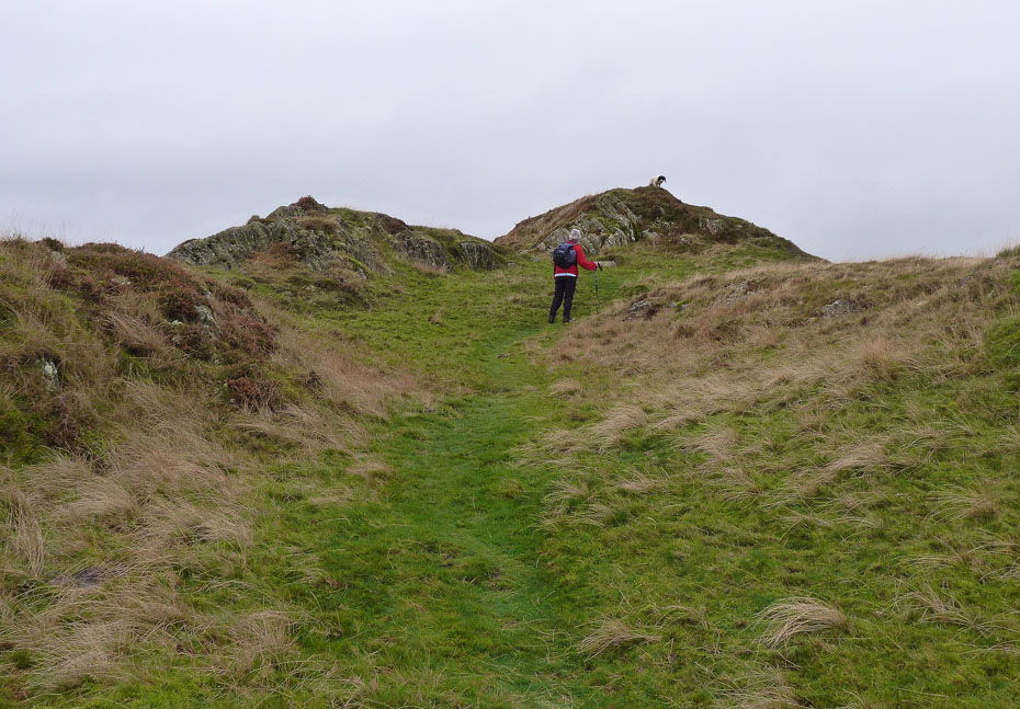
Once again they think I'm not worth waiting for and Jess guides Edith to the Wainwright summit.
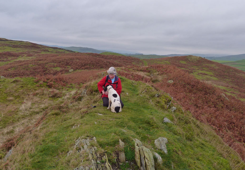
By the time I got there she was having another small treat. The cairn on the Wainwright summit is still sadly missing.
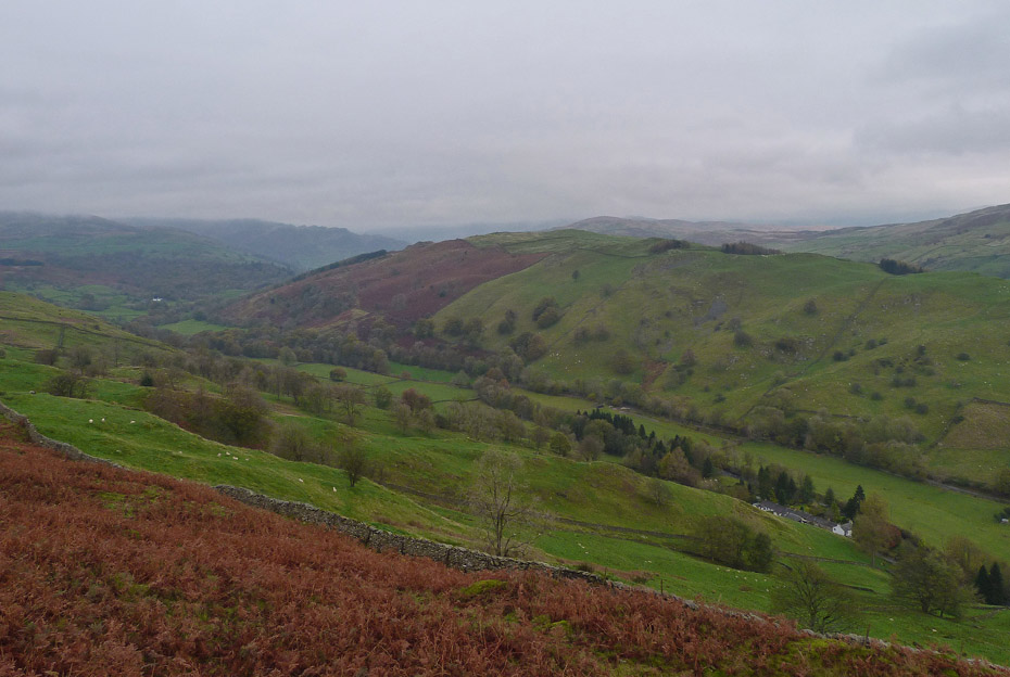
The views are very poor, even Millrigg Knott across the valley is very dull.
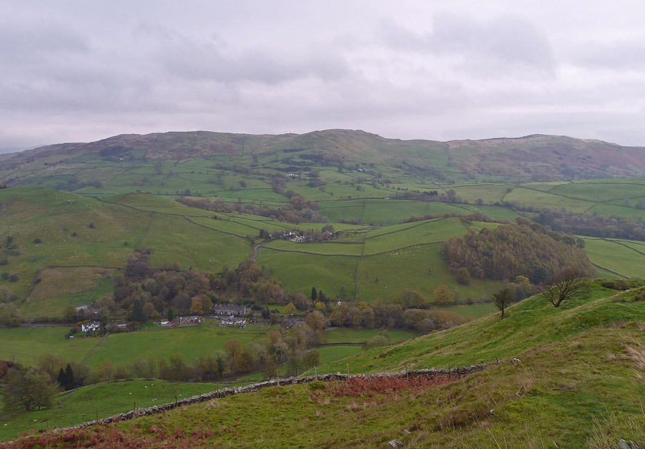
There's a touch more brightness over Elfhowe to Brunt Knott.
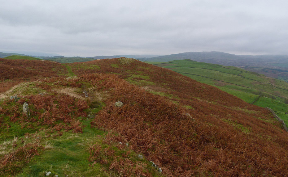
From the Wainwright top we made our way to the northern top....
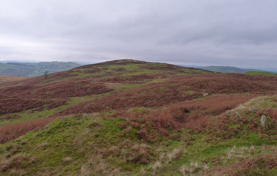
.....and then to the highest point to the west. There only a few feet between the lot of them in reality.
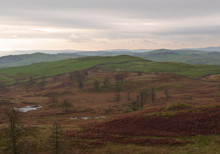
To the SSW our final summit of Reston Scar. This is all open access land nowadays but when AW wrote his " Outlying Fells of Lakeland" guide much of this area was not accessible.
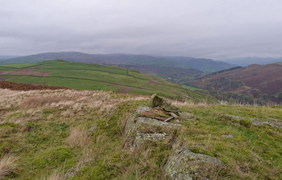
The Cairn on the northern summit and I think its clearing although it may be wishful thinking.
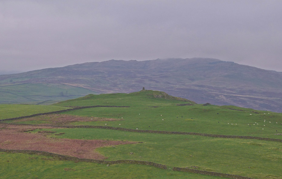
A zoom in on Williamson's Monument on High Knott with Sour Howes and Sallows in the gloom behind.
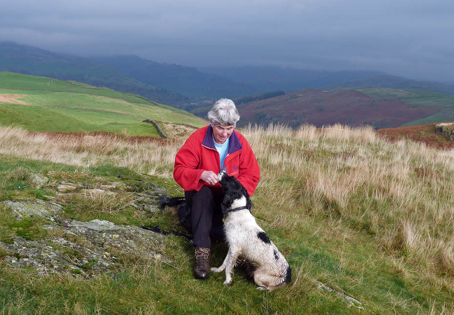
We are now on the highest top and as this involves the crossing of a rather wet area Jess is now rather mucky. However it's time for another small treat....
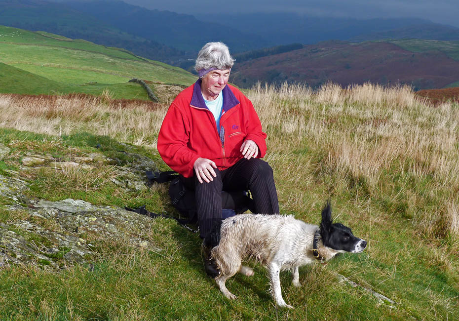
....and a shake to share some of her wetness with Edith.
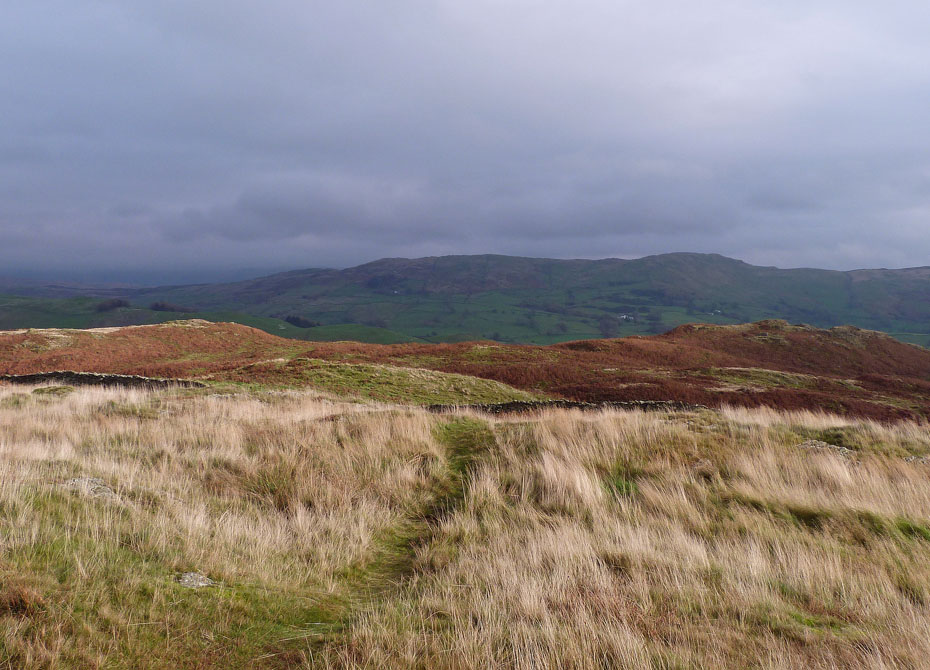
Looking back to the North top (l) and Wainwright summit (r)......AW wouldn't have been able to come to this top, well not officially but I'm sure he may have.
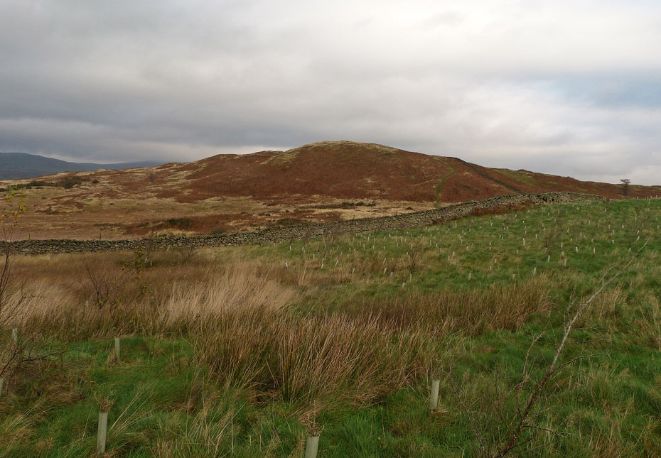
A look back to the highest top as we make our way to Reston Scar.
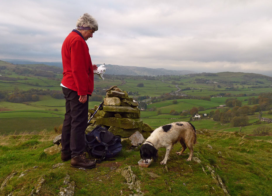
Reston Scar summit and now it is time for a proper treat.....I'm sure despite her doing many miles on the walk she actually gains weight!!
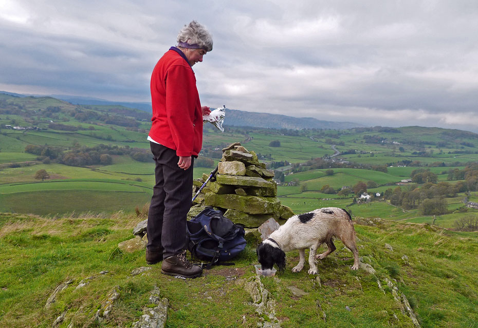
Same again but this time with the camera on "Auto". In the previous picture I had inadvertently left it on a "Macro" setting but quite liked the result.
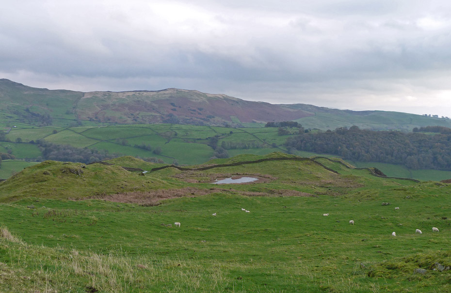
Normally from here we retrace our steps back to the bungalow but as the weather didn't seem to want to brighten we decided to make our way down to Kemp Tarn and then to Staveley.
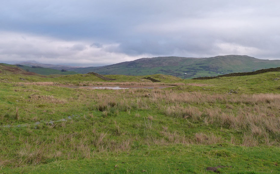
Jess was enjoying chasing the birds here and hopefully washing some of the muck off....
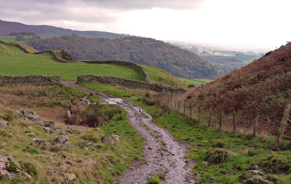
....however all her good work was undone here when she decided to have a play around in the mud.
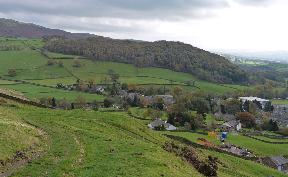
Having made the decision to descend the day started slowly to improve ..
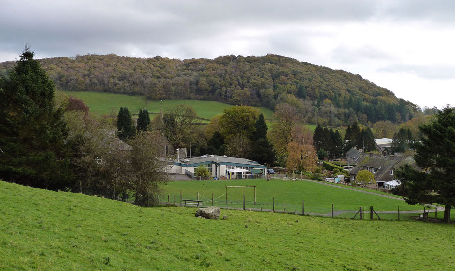
....looking over the school to Craggy Plantation.
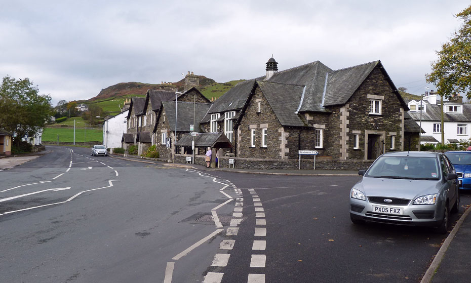
Back down in Staveley and time for a bite and brew....
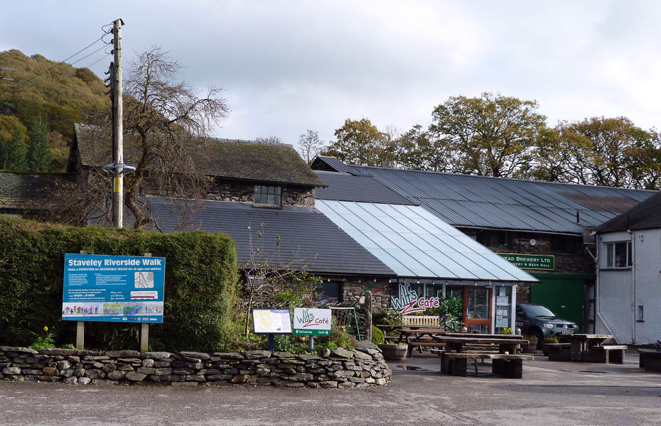
....and just as we arrived at Wilf's the sun came out..
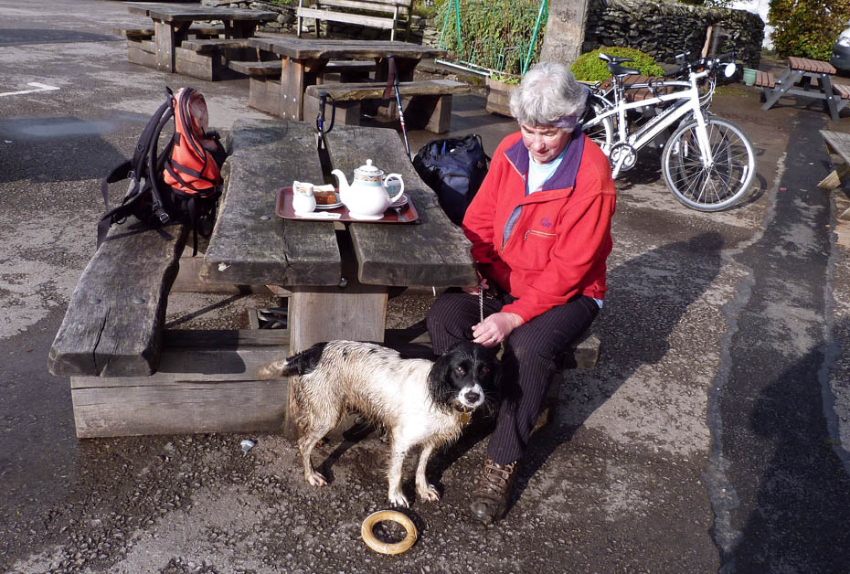
....which is just as well because I don't think we would have been welcome inside.....she absolutely stunk!!
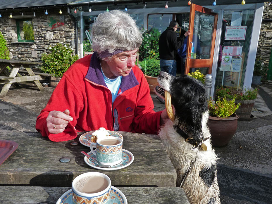
To keep her amused she got her farewell treat early.
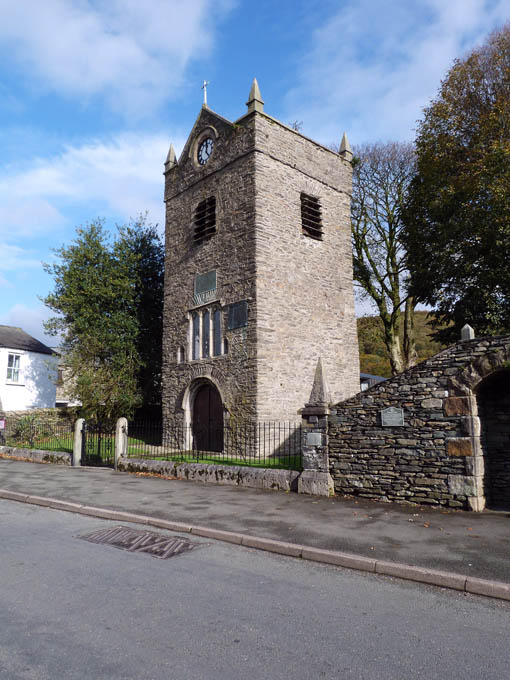
St Margaret's Church Tower......In 1338 the lord of the manor of Staveley, Sir William Thweng, agreed to build a chapel in honour of St Margaret. St Margaret's Church, of which only the tower now remains, was founded in 1388.
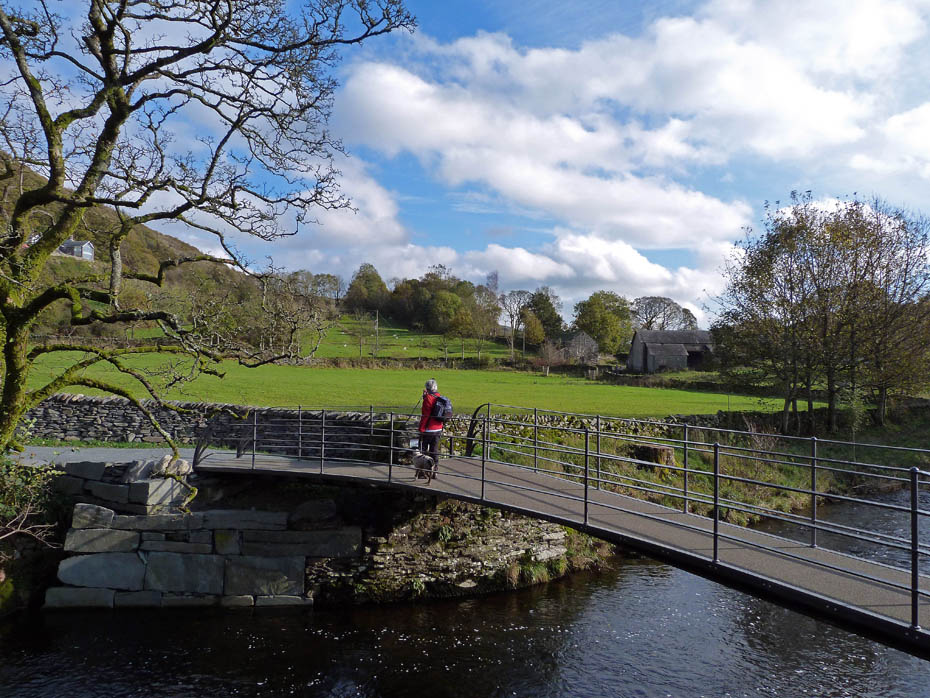
We took a lane near the tower which took us down to the River Kent.
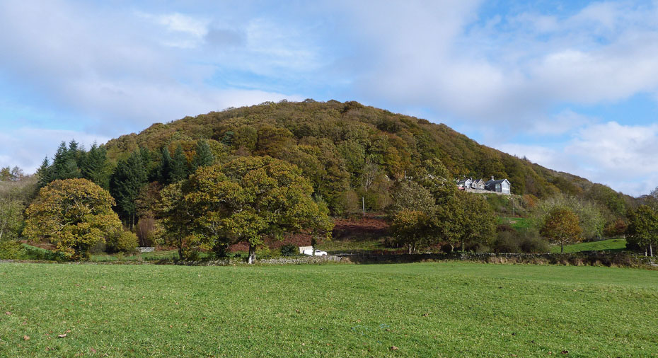
The sun brings out the colours in Craggy Plantation.
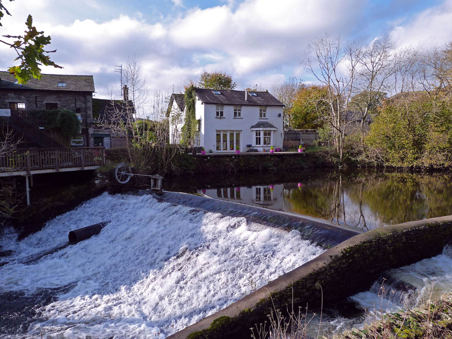
Passing by the weir on the river opposite Wilf's.
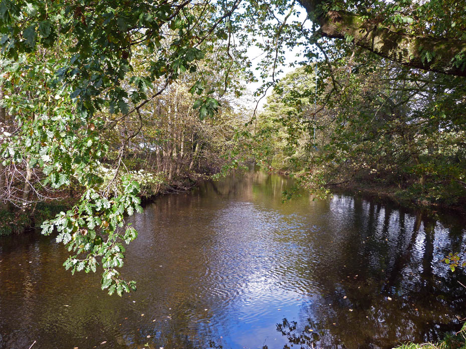
The River Kent.
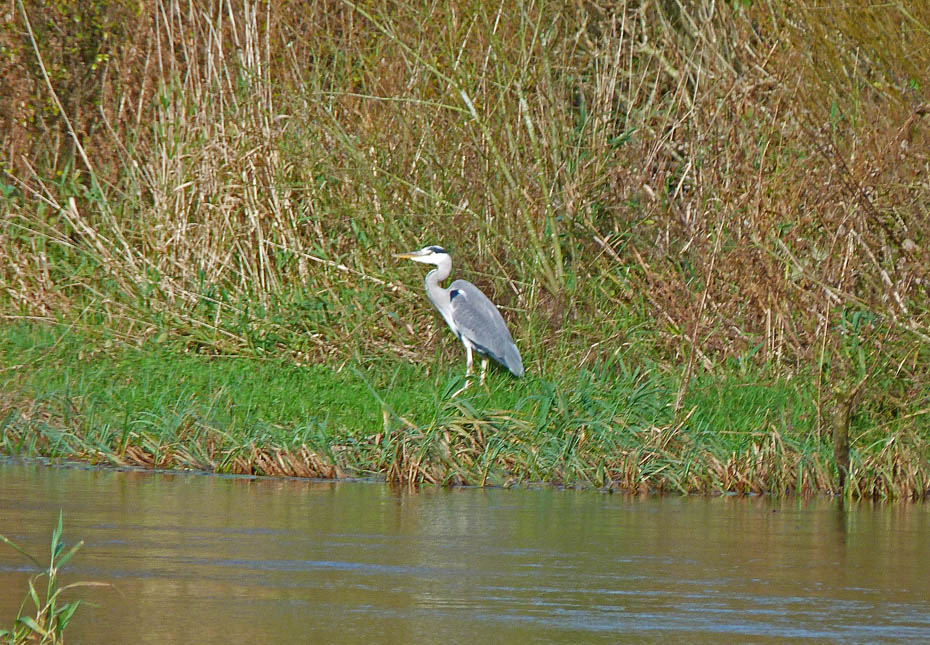
Heron.
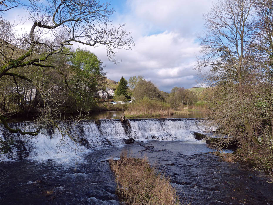
Back at Barley Bridge and the weir now...
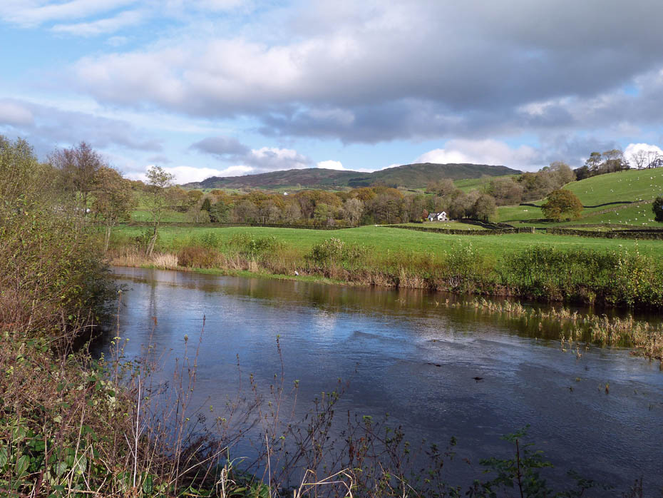
and things are a lot brighter than this morning......spot the heron?
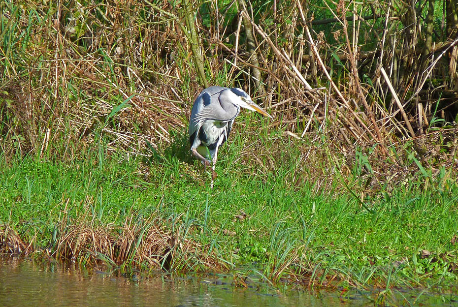
It was right in the middle of the picture.
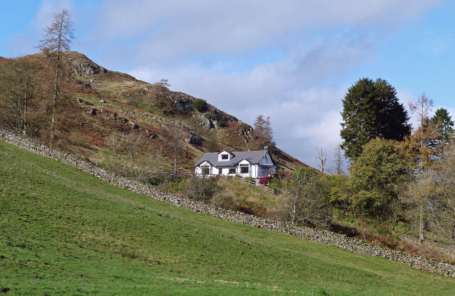
Nearly home for Jess....
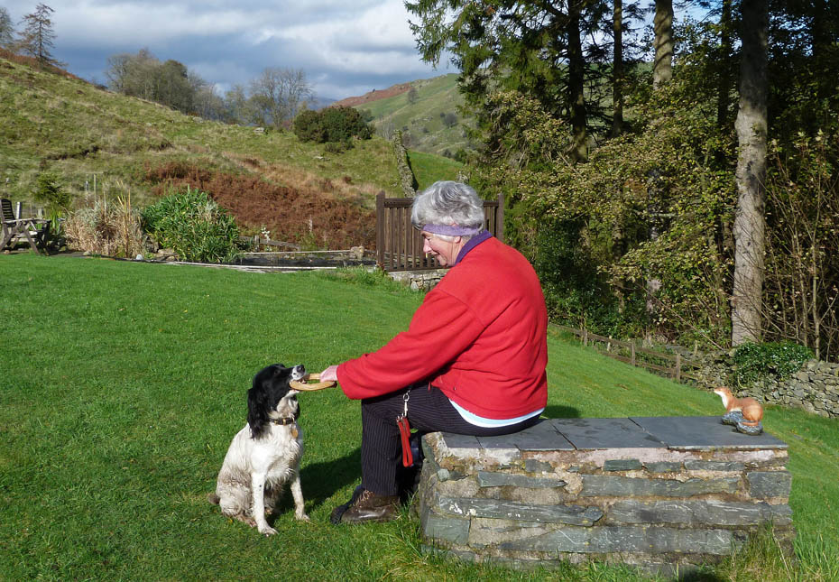
...but of course Edith couldn't leave her by herself. Roger had left us the key to the garage where she had a bed + food and water but he wasn't due back for a while so we stayed with her for an hour or so.
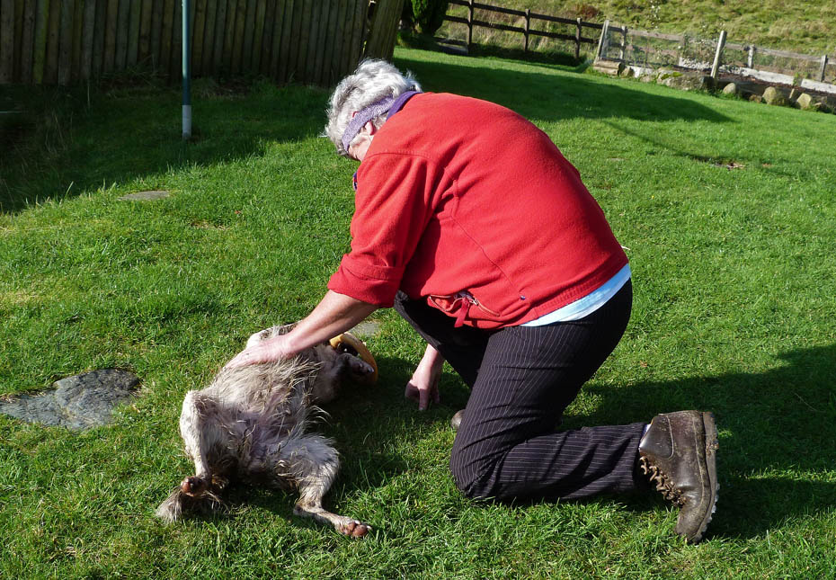
I'm not sure who enjoyed it most.
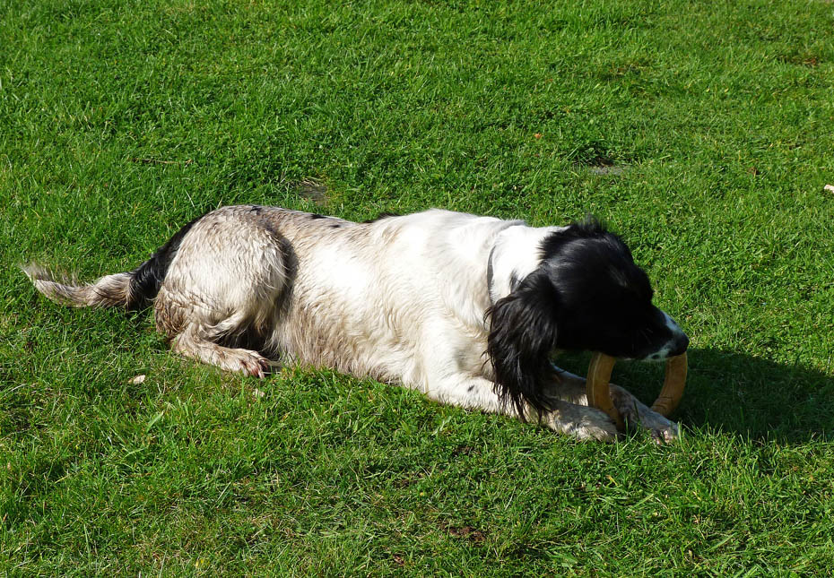
Content!
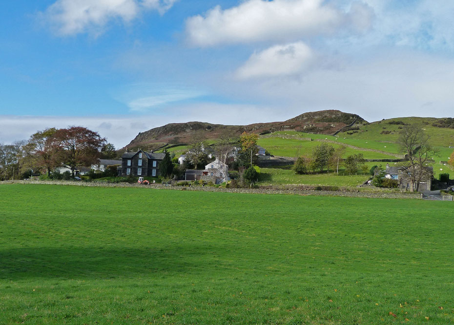
And finally a walk back to the car for us.
Next Walk: 28th October 2011 - Lake District - Heughscar Hill and Moor Divock from Askham.
Last Walk: 25th October 2011 - NW Lancashire - By shore and riverside to a poor slaves grave.
Join us on Facebook for regular updates.
Dave Brown Wainwright-Wanderings

Create your badge
We hope you have enjoyed viewing this walk. If you have any comments please sign our Guestbook or E_Mail us.