
| Area: | North Lancashire | Ascent: | 100feet |
| Walk No: | 619 | Time: | 1hour 30minutes |
| Date: | 3rd November 2011 | Parking: | Conder Green picnic site |
| Distance: | 3.00miles | Weather: | Mainly overcast |
For those of you that are thinking of going onto the hills I would strongly recommend that you read the advice given by the Mountain Rescue organisation of England and Wales. To read this advice, which will open in a new page please click HERE. If you would like to make a donation to the Mountain Rescue organisation which is purely voluntary please click HERE. Please make the time to read the advice page.
---------------------------------------------------------------
A few pictures from a short afternoon walk around the Glasson Dock area after a dull morning brightened a little.
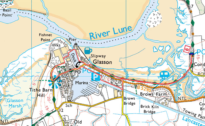
Route Map
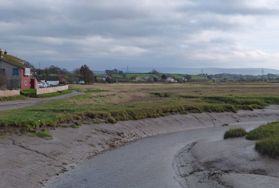
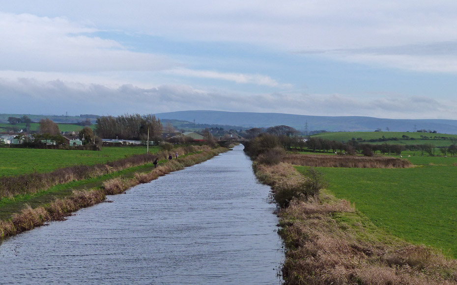
After parking the car at the picnic site we took the path towards Glasson Dock. This is the tracked of the old London and North Western Railway between Lancaster and Glasson. The line carried its last passengers in 1930 nut was in use for goods until 1964. The trackbed is now a multi-use path and probably carries far more traffic than it ever did. Here we are crossing the River Conder looking towards the hills of Bowland.
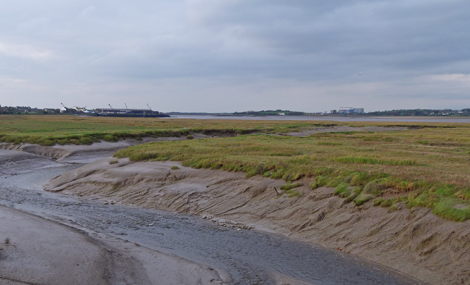
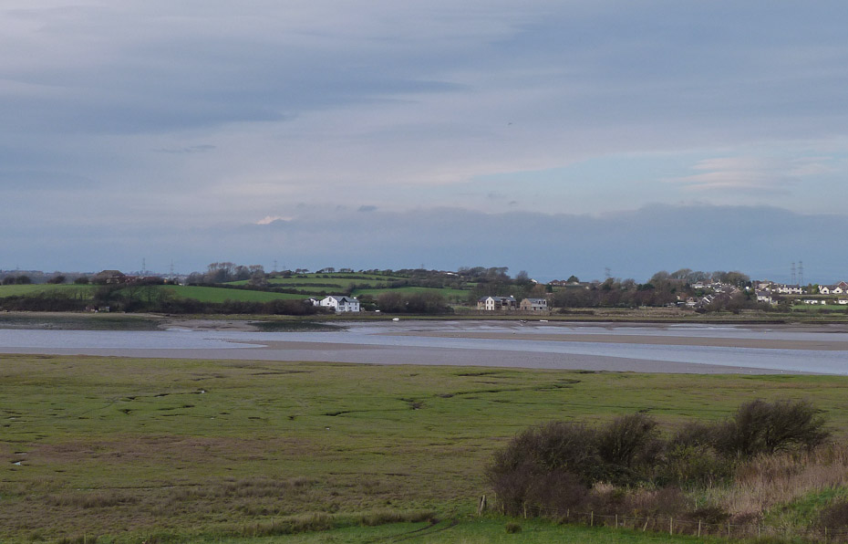
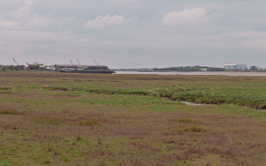
Looking the other way towards Glasson Dock with the Power Stations at Heysham across the River Lune.
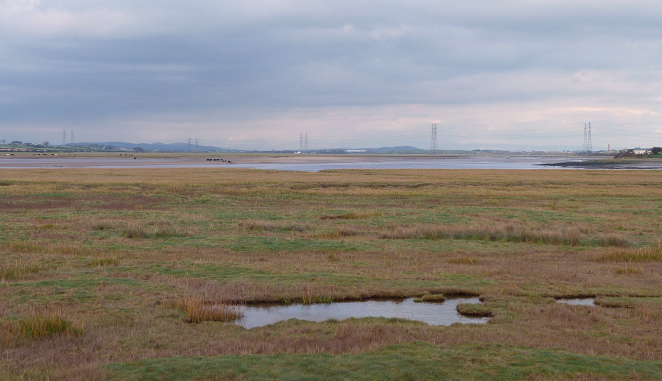
Looking up the River Lune towards Lancaster.
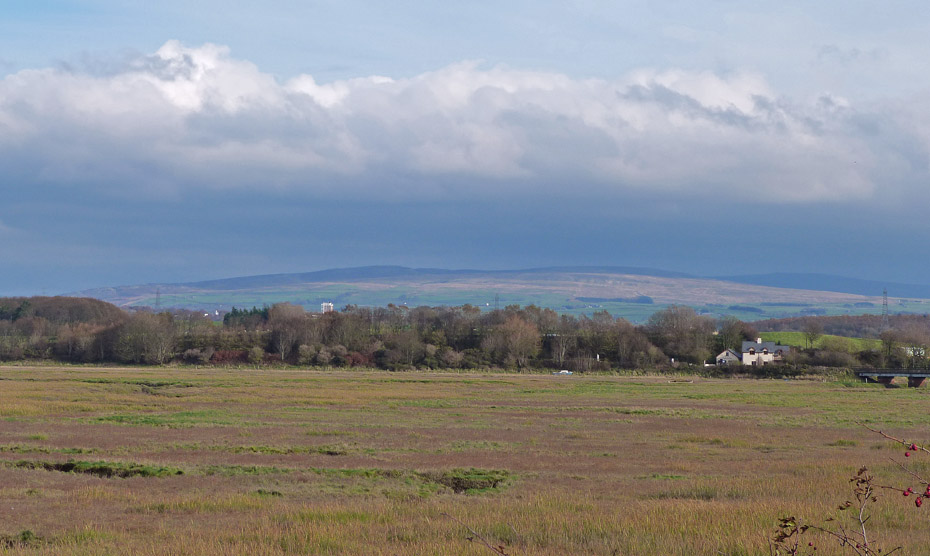
A look back towards Clougha Pike.
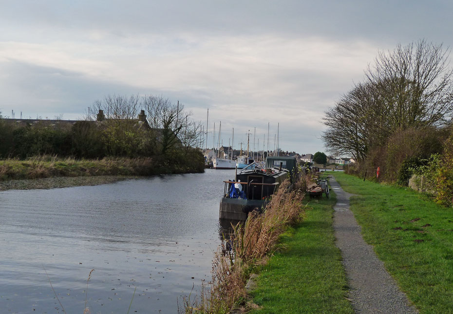
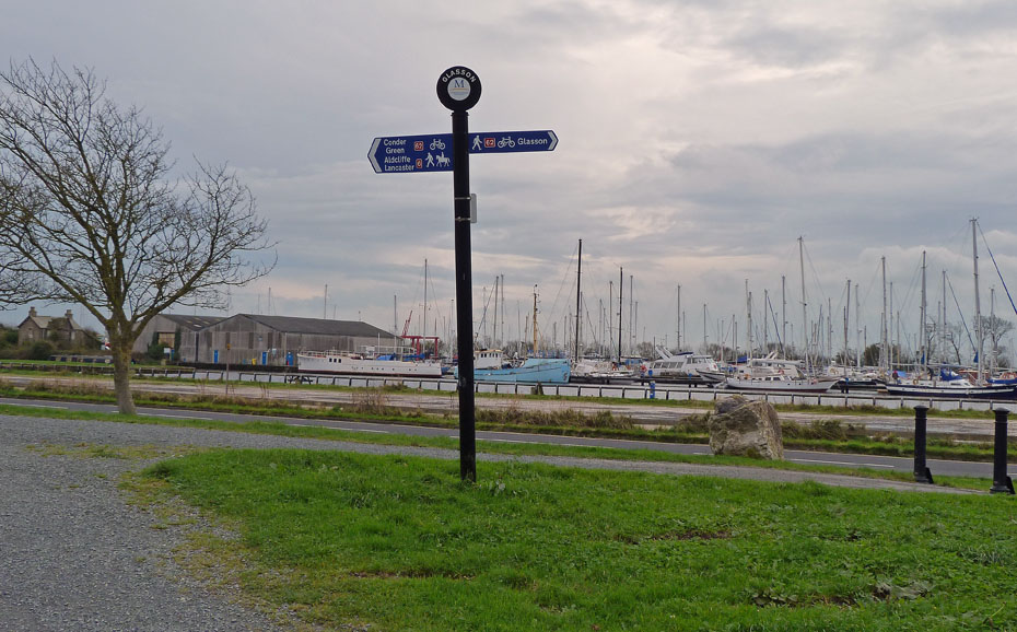
We left the trackbed as we entered Glasson and took the canal towpath towards the marina.
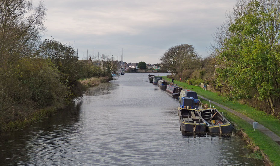
Looking towards the marina from Brows Bridge.
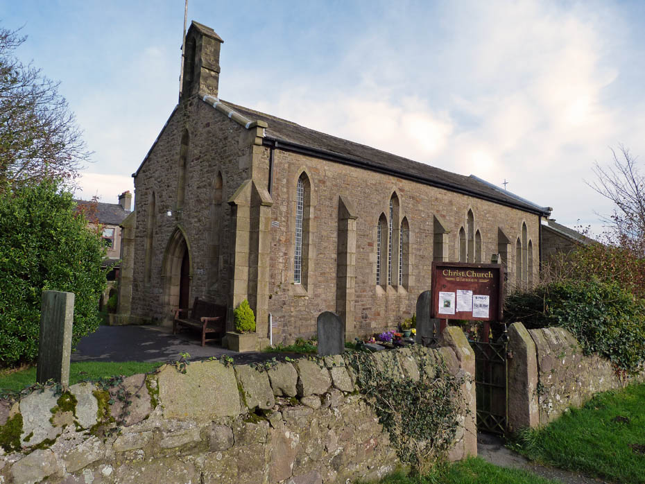
Christ Church, Glasson.
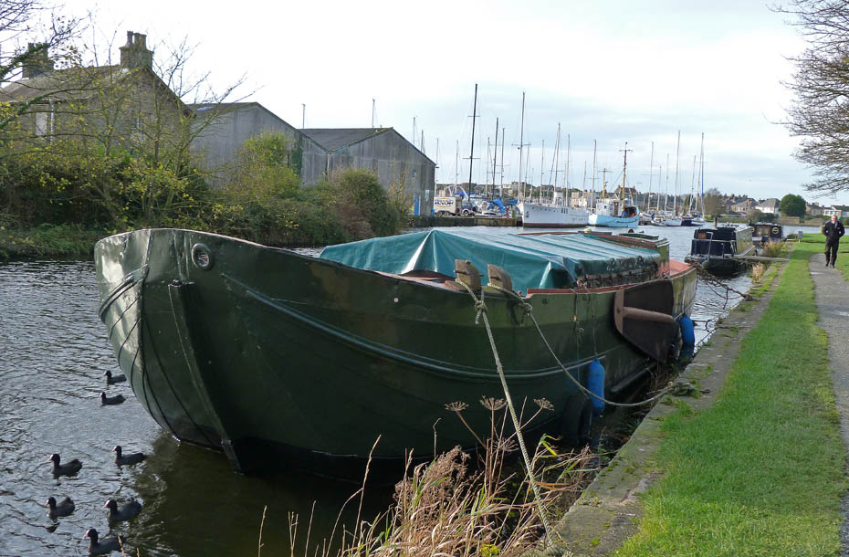
This craft caught my attention. I couldn't recall seeing it before and wondered on what it was designed from. It had a pivoting leeboard or daggerboard on the port side but I couldn't see if this was part of a pair.
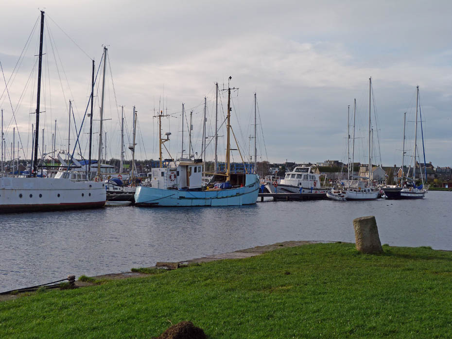
It's too breezy and dull for any reflections toady in the marina.
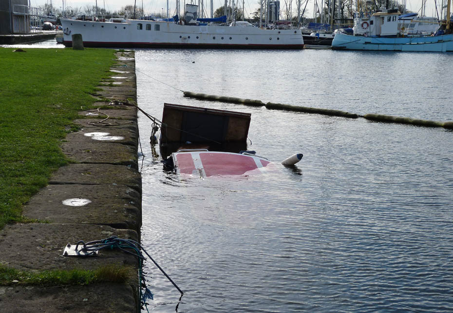
Oooops!!
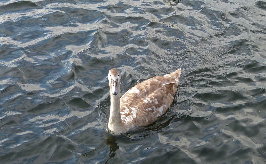
The first of a number of local residents to come over.
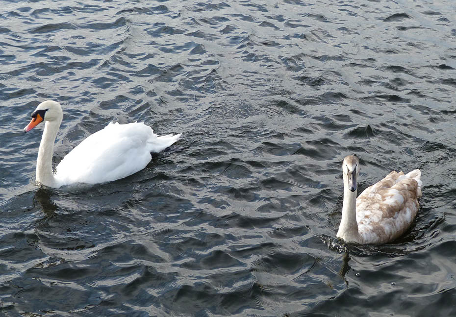
Unfortunately we don't have any supplies today.
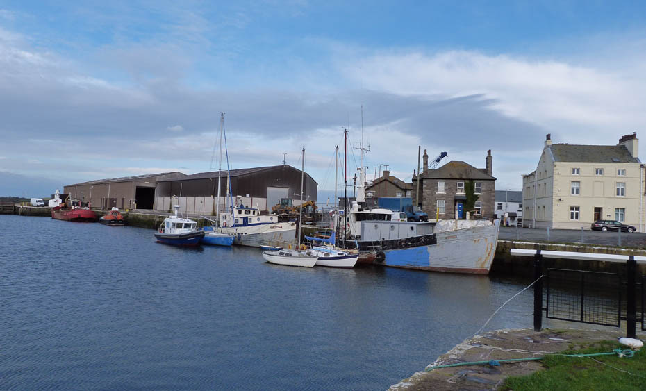
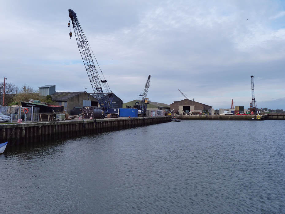
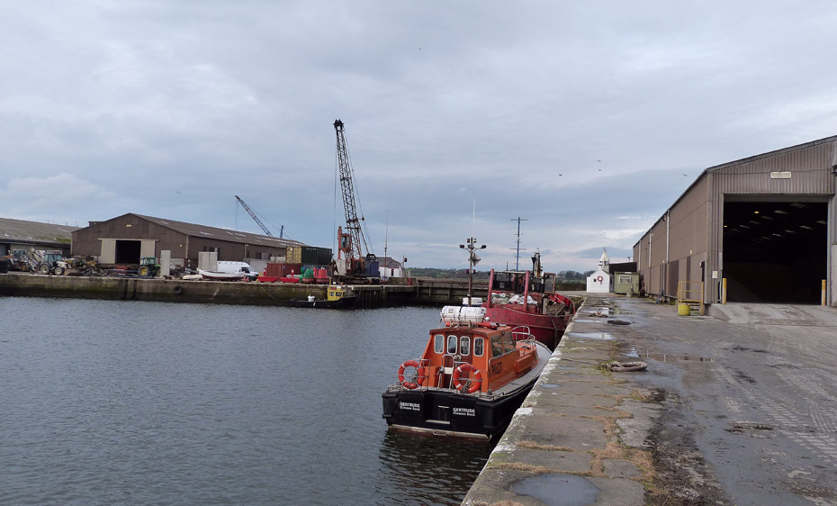
From the marina we made our way to the salt water dock. The area was organised by the Lancaster Port Commission due to the difficulty of navigating the River Lune to the docks in Lancaster. They realised that a dock would help shipping and in turn increase the prosperity of Lancaster due to increases in trade. Building was financed by Lancaster merchants and it needed two Acts of Parliament in 1738 and 1749 to allow the construction of the walls and quays. The dock was built by Thomas Morris in 1787 although I suppose he had a few helpers.
There used to be a dry dock in the far corner where ships could be repaired. However it was closed in the mid to late 1960's and filled in around 1969.
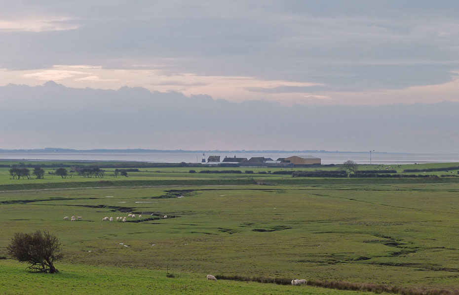
From the dock we walked up to the highest point at an oxygen starved 60' asl for a look towards the Fylde coast...
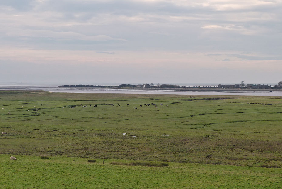
....and across the River Lune to Sunderland Point...
....also in close up.
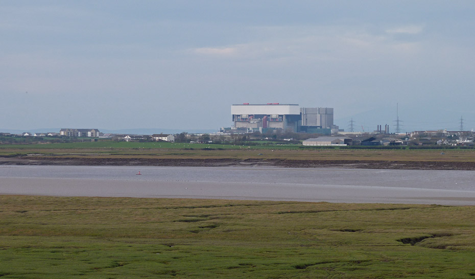
A look over the river to the Power Stations at Heysham...
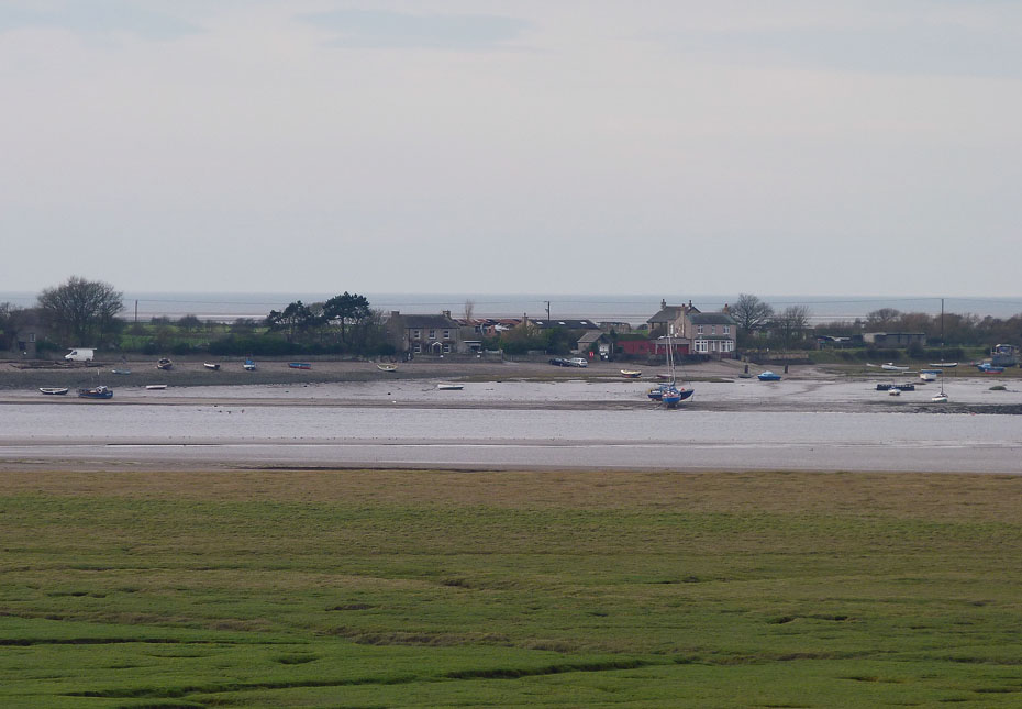
...and finally to where our walking started back in the early 1960's when we were courting at Overton.
We walked back down to the dock to cross over at the locks to make our return.
We picked up the trackbed path again...
....to make our return.
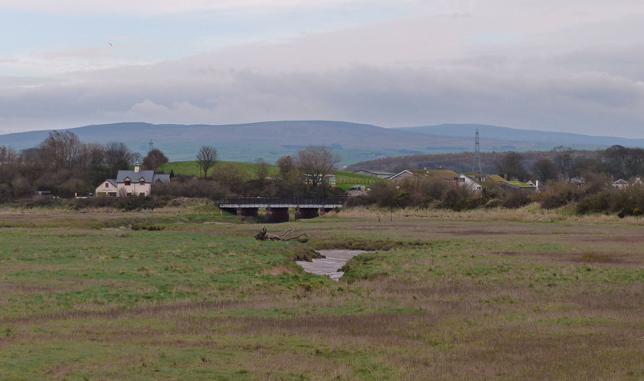
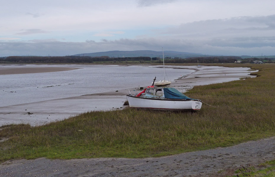
Looking over to the bridge over the River Conder with Clougha Pike and Ward's Stone behind,
A last look back before....
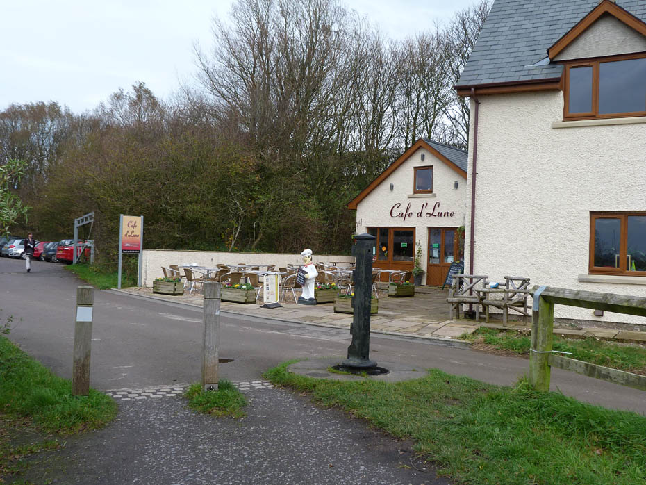
....a cuppa and cake in the cafe before returning home.
Next Walk: 6th November 2011 - Arnside & Silverdale AONB - Arnside Knott & The Pepper Pot
Last Walk: 2nd November 2011 - South Cumbria - Deer, Goats & Autumnal Colours at Levens
Join us on Facebook for regular updates.
Dave Brown Wainwright-Wanderings
![]()
Create your badge
We hope you have enjoyed viewing this walk. If you have any comments please sign our Guestbook or E_Mail us.
