
| Area: | Lake District | Ascent: | 340feet |
| Walk No: | 632 | Time: | 1hour 30minutes |
| Date: | 6th January 2012 | Parking: | Top of the Kendal - Underbarrow road. |
| Distance: | 3.00miles | Weather: | Fine & Sunny to start. Clouding over later. 0°C |
For those of you that are thinking of going onto the hills I would strongly recommend that you read the advice given by the Mountain Rescue organisation of England and Wales. To read this advice, which will open in a new page please click HERE. If you would like to make a donation to the Mountain Rescue organisation which is purely voluntary please click HERE. Please make the time to read the advice page.
---------------------------------------------------------------
The weather for the last few days as been shocking. Wind speeds have been in the high 60's and 70's mph at sea level and on Great Dun Fell in the North Pennines a speed of 111mph was recorded. The wind has also been accompanied by bands of heavy rain sweeping in and there as been lots of localised flooding in the South Lakes. The forecast for today was for a frosty but bright start which would quickly give way to it clouding over with more rain. We were therefore away straight after breakfast with the intention of going to the Central Lakes, however a look across the bay made us change our mind for this walk as the views were very limited.
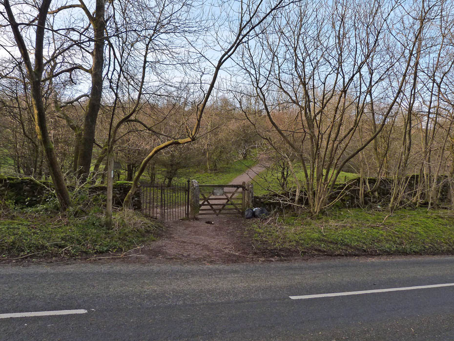
There are two areas for parking at the top of the Underbarrow Road. One an area near the tower, the other a disused working. Both are free and the entrance to the fellside is opposite the old quarry.
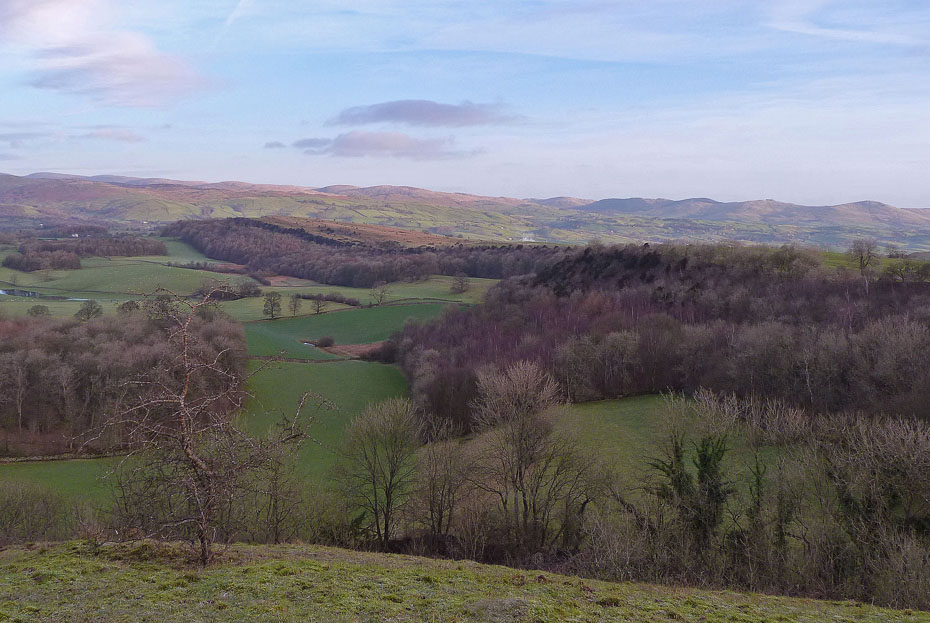
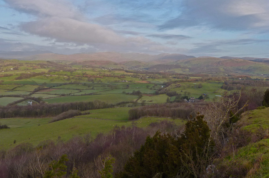
At first the views were good particularly to the northwards over Cunswick Fell to the Whinfell Ridge and the fells of Shap.
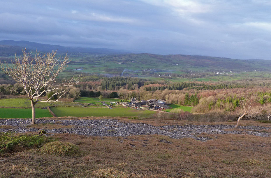
Looking into Kentmere it wasn't quite so good but at this point there is hope that it will clear.
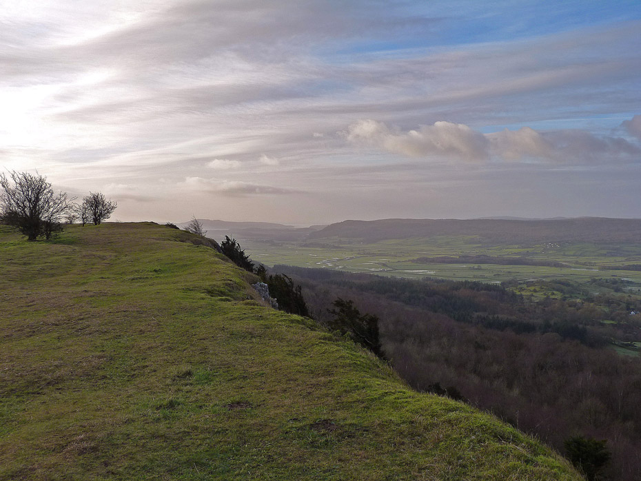
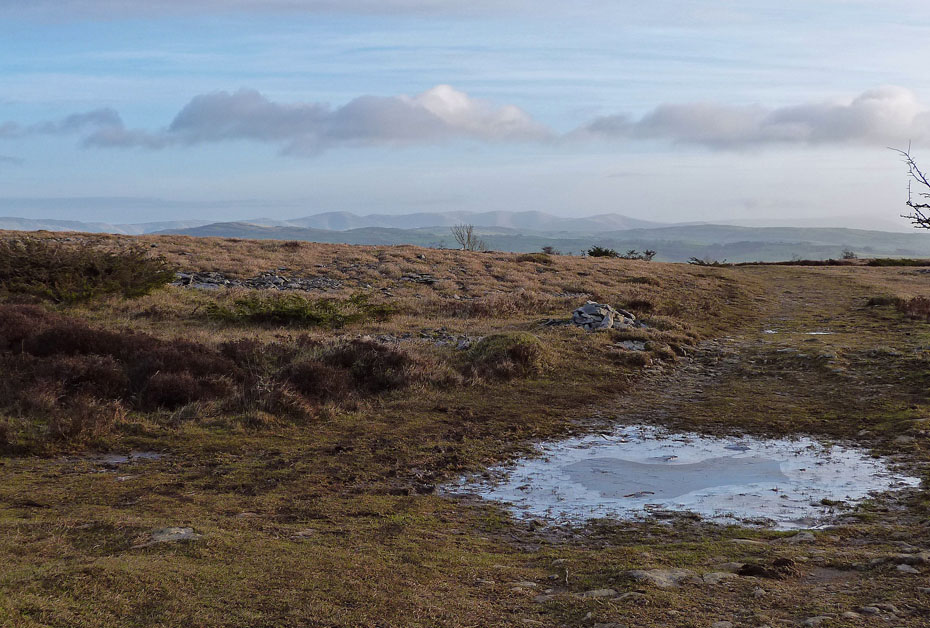
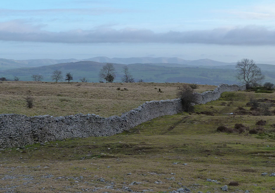
Our outward leg would follow the scar edge southwards into the weak sunlight with Arnside Knott in the distance.
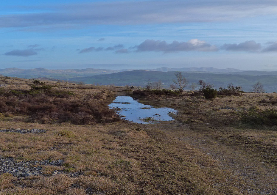
Looking back towards Kentmere and we have lost the sun now apart...
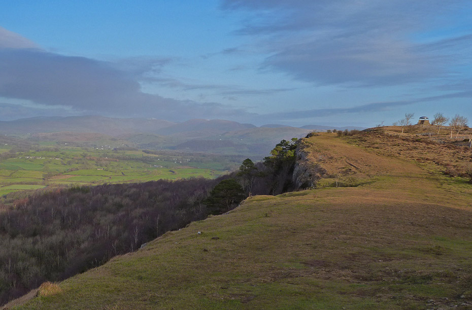
...from short spells when it lights up the scar and the mushroom shelter.
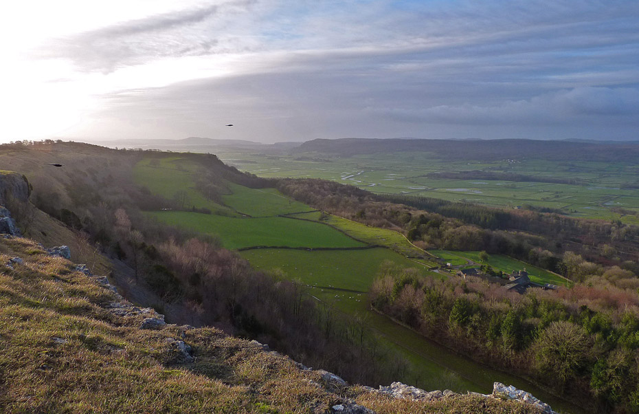
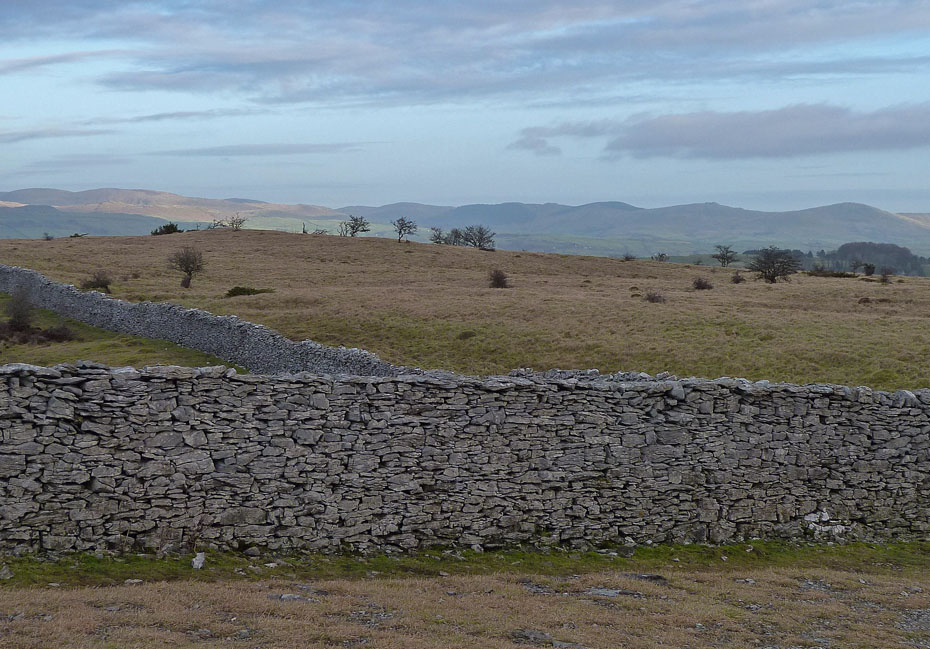
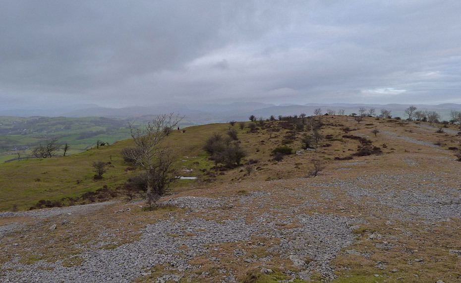
Our path continued southwards. Regular readers would be expecting pictures of the Coniston and Langdale Fells to be appearing by now but unfortunately they were nowhere to be seen.
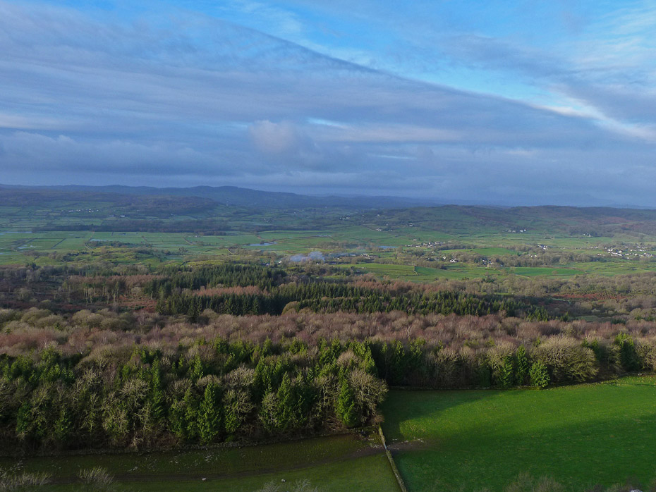
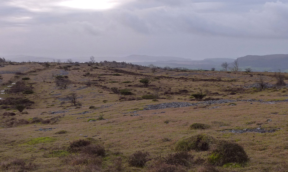
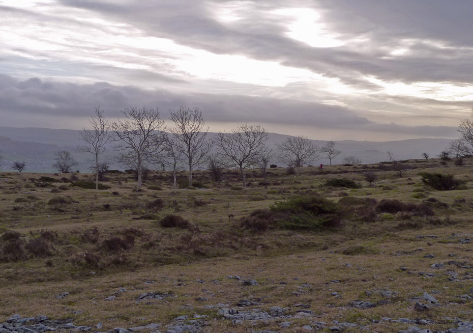
Looking down on Barrowfield with no sign of the Coniston Fells.
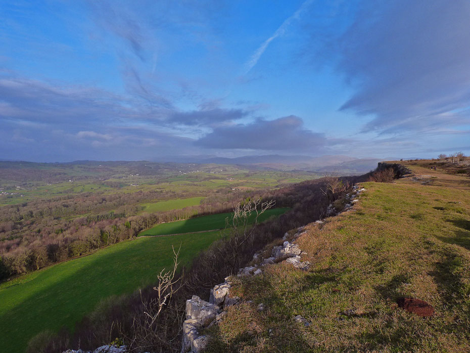
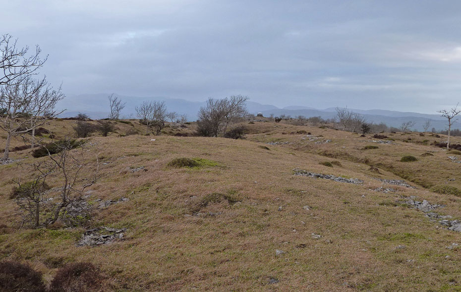
A look back from where we came.
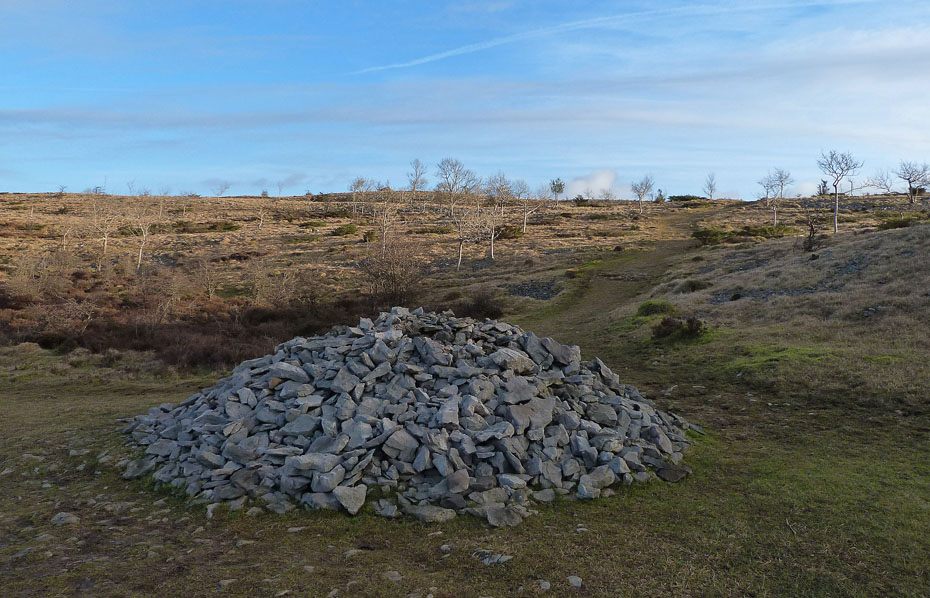
At the big cairn whish marks the Bradleyfield -Barrowfield route we turned up the path towards the crest of the ridge.
Today it was the turn of the Howgill fells to offer the better views.
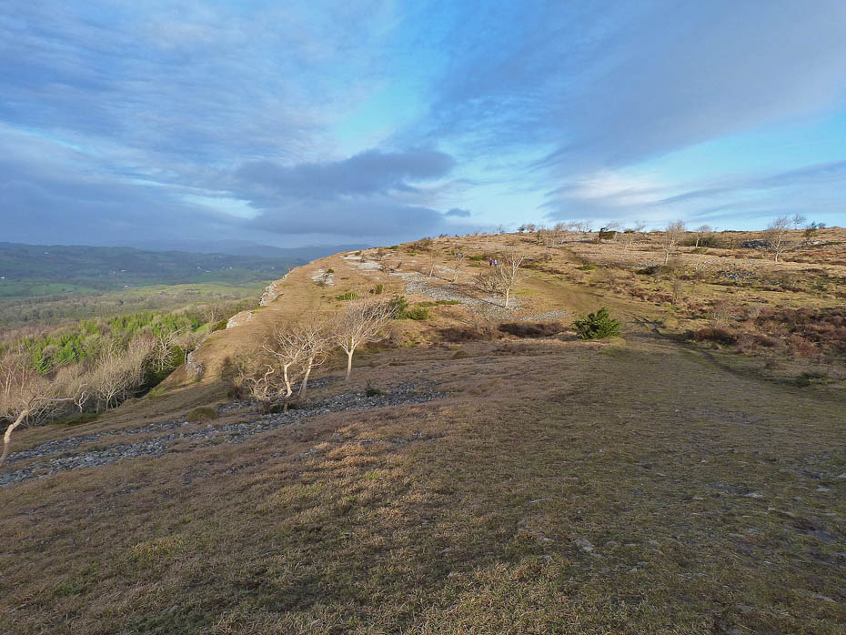
The Whinfell Ridge and Howgills over Benson Knott as we arrive at the top of the ridge where a left turn was made.
To the south the cloud was closing in...
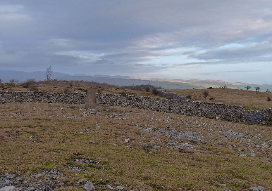
.....and as we reached the summit trig point the cloud cover seemed to be moving eastwards.
The Howgills.
Shap fells.
Has we made our way towards the mushroom shelter we lost the sun and everything seemed so very dull. I was getting bad pains in my neck at this time and this coupled with the dull weather made me rethink my plans for also visiting Cunswick Fell.
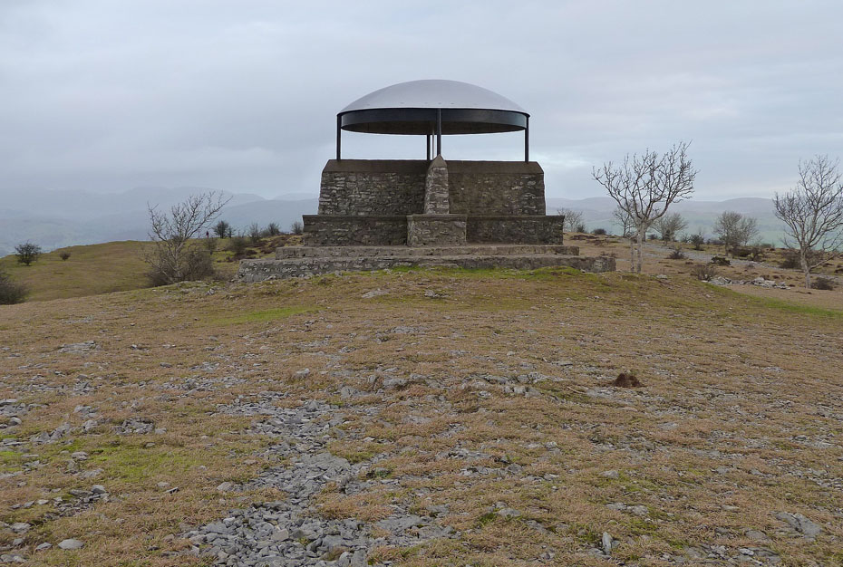
The shelter on Scout Scar
Not far to go now and I'm ready for back. Neck pain in my opinion is one of the worst.
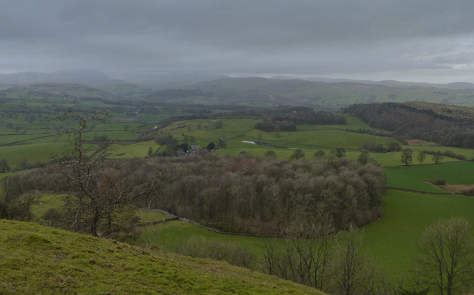
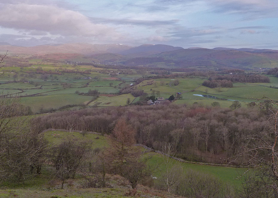
It's looking very dull over Kentmere as we reach the end of the scar and it doesn't look like we would be missing much on Cunswick.
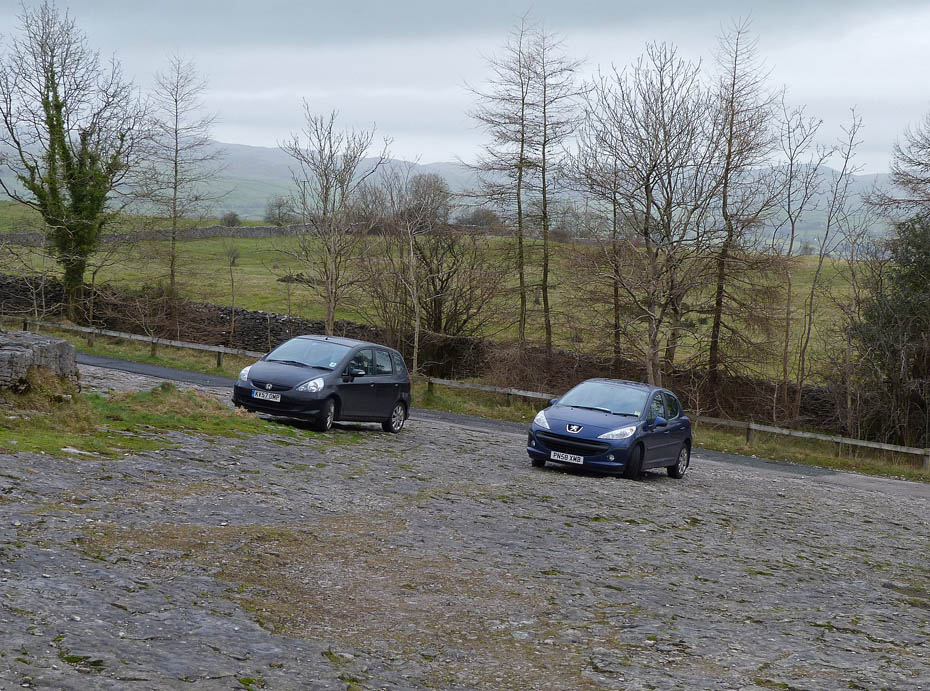
And finally.....back to the car.
Next Walk: 9th January 2012 - NW Lancashire - A sunset walk at Sunderland Point.
Last Walk: 2nd January 2012 - NW Lancashire - The Lancashire Coastal Way & Canal at Hest Bank.
Join us on Facebook for regular updates.
Dave Brown Wainwright-Wanderings
![]()
Create your badge
We hope you have enjoyed viewing this walk. If you have any comments please sign our Guestbook or E_Mail us.
