
| Area: | South Cumbria | Ascent: | 160feet |
| Walk No: | 648 | Time: | 2hours 45minutes |
| Date: | 5th March 2012 | Parking: | Haverigg car park. (Free) |
| Distance: | 4.75miles | Weather: | Fine and mostly sunny. |
For those of you that are thinking of going onto the hills I would strongly recommend that you read the advice given by the Mountain Rescue organisation of England and Wales. To read this advice, which will open in a new page please click HERE. If you would like to make a donation to the Mountain Rescue organisation which is purely voluntary please click HERE. Please make the time to read the advice page.
---------------------------------------------------------------
The weather forecast for today was perfect and we were away straight after breakfast. It is around 59 miles from our house to Haverigg but for most of the way the views were magnificent and we were soon parked up in the Beach car park. The walk itself is a delight particularly on a lovely day with fine views across and up the beautiful Duddon Estuary. As we returned to Haverigg we got talking to a local lady and I mentioned that one of our Facebook friends lived in the area. When given her name we found that we were less than a 100 yards from her house and were taken there to be introduced. We left with the promise that when we return we will let her know so that we can hopefully plan a walk together.
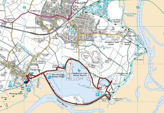
Our route.
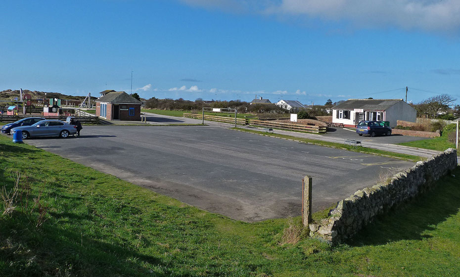
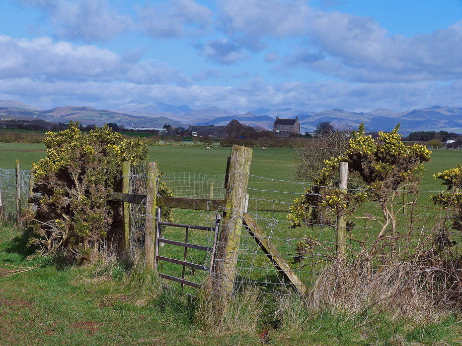
We left the car in the beach car park (free) where there are also toilet facilities and a cafe.
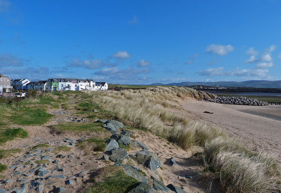
Making our way towards Haverigg Pool.
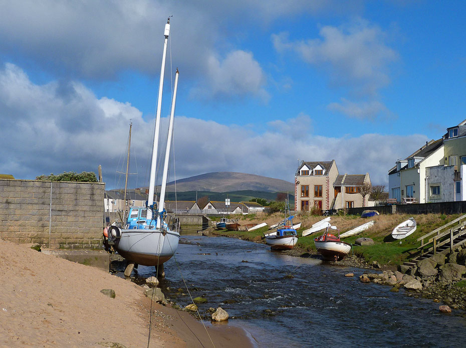
Haverigg Pool. In dry spells and with the tide out you could cross here. Today however we made our way to the bridge further upstream.
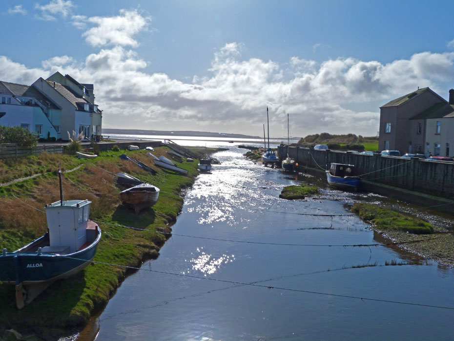
Spoilt somewhat by the sun a look down Haverigg Pool.
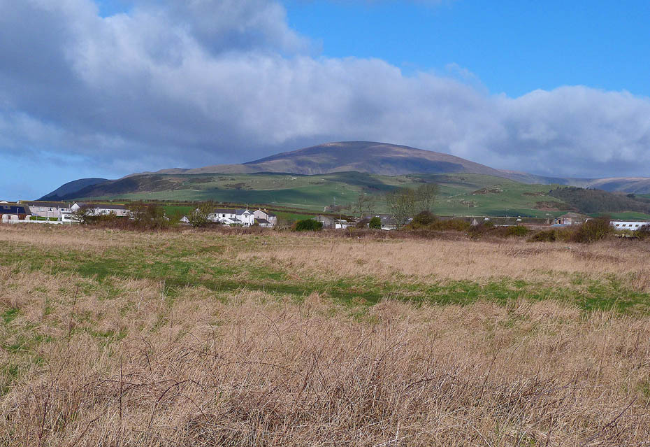
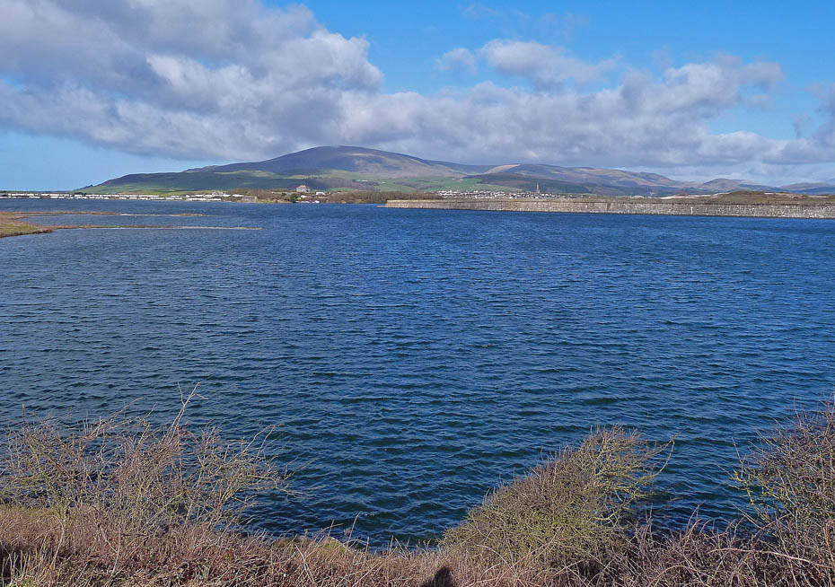
Making our way over to the Outer Barrier we had this view of Black Combe.
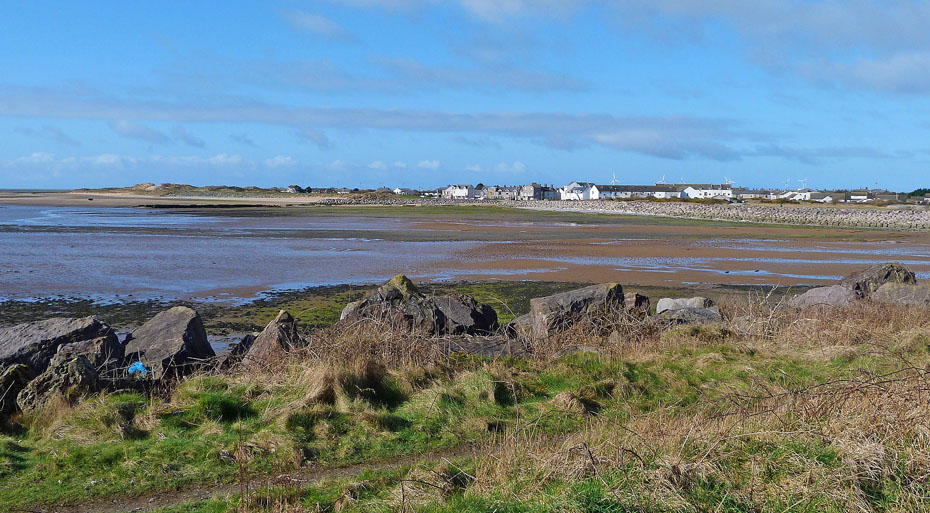
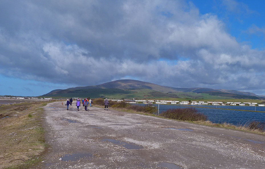
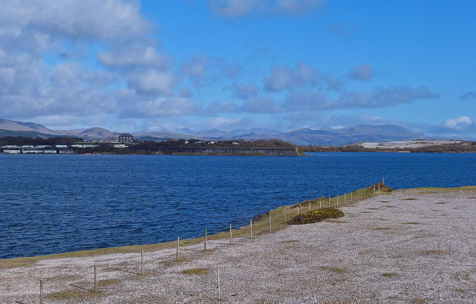
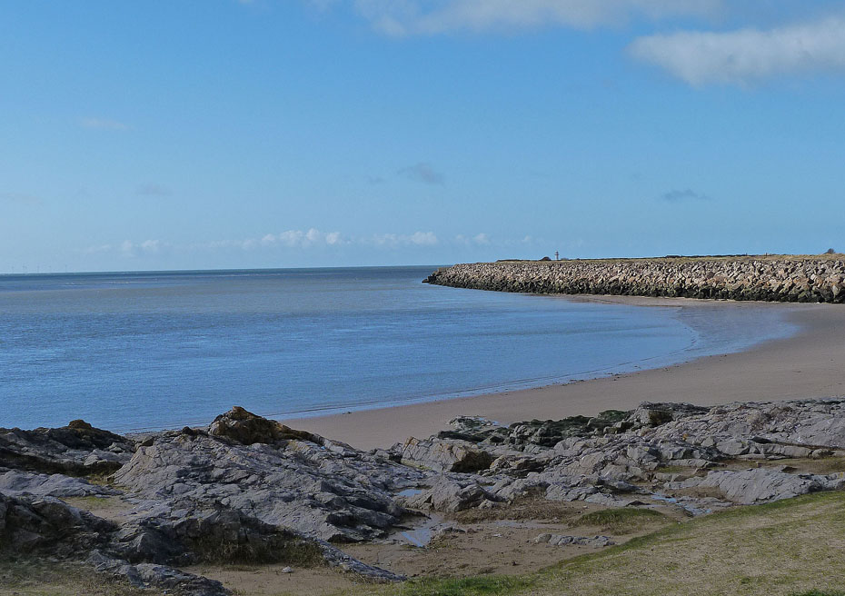
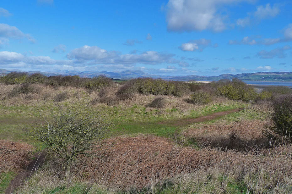
Looking back to our start point as we make our way along the Outer Barrier. The Outer Barrier is the containment for the Hodbarrow Nature Reserve which was the site of a large iron ore mining operation between 1855 and 1967. The reserve includes a lagoon and the surrounding scrub and grasslands. Its varied habitats, through which paths lead, provide homes for many types of wildlife.
A look back along the Outer Barrier towards Black Combe. The barrier along this length is about 180feet wide. If I have researched this correctly and I do try to post the correct information, the barrier was built to protect the iron ore mines from flooding. When mining ceased the area within the barrier was allowed to flood giving us this wonderful enviroment. The barriers were built in 3 stages and are part sea defence and part earth dam. For those wanting to know a little more there is quite an interesting article HERE
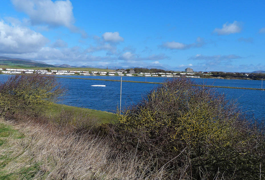
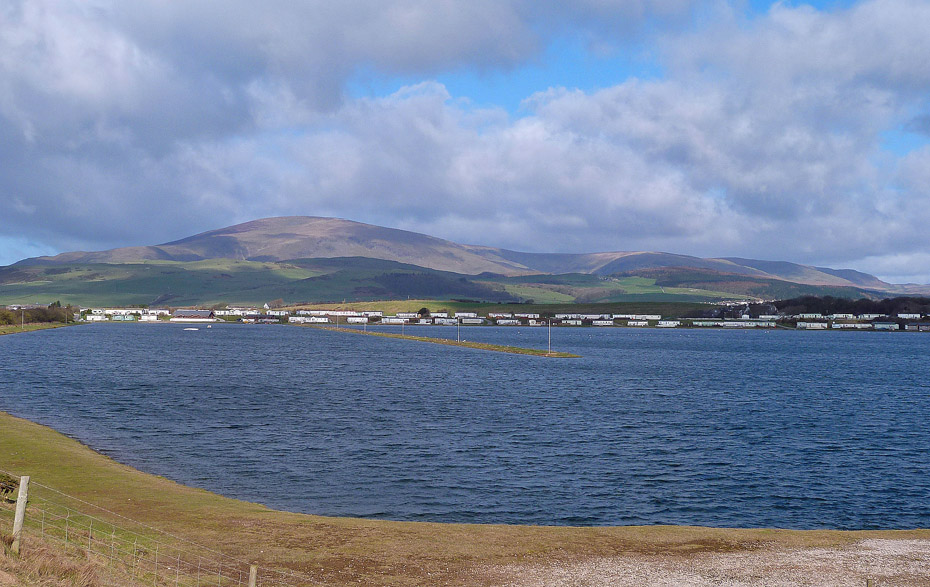
Looking over to Port Haverigg Holiday Village.
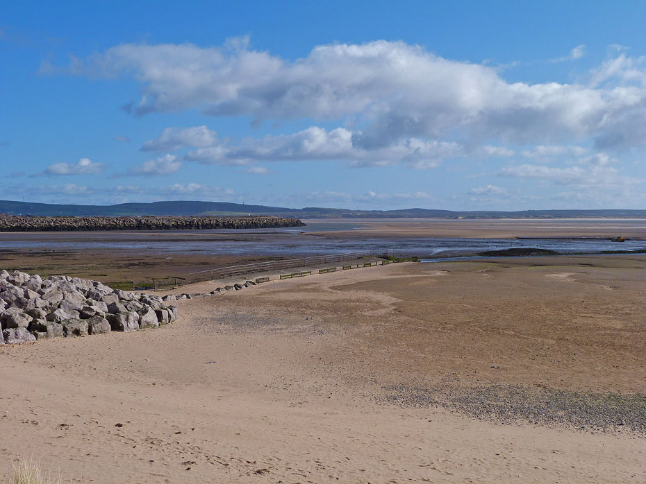
The tide is ebbing and slowly revealing the sandy estuary.
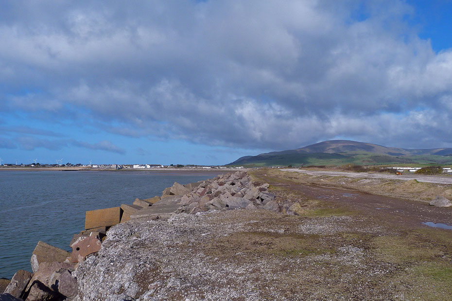
Looking back along the Outer Barrier which as been protected with concrete blocks towards Black Combe.
Looking across the Nature Reserve to some familiar Southern Fells.
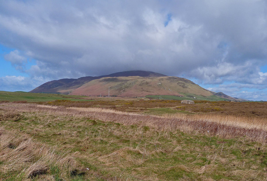
However it is Black Combe that dominates the views.
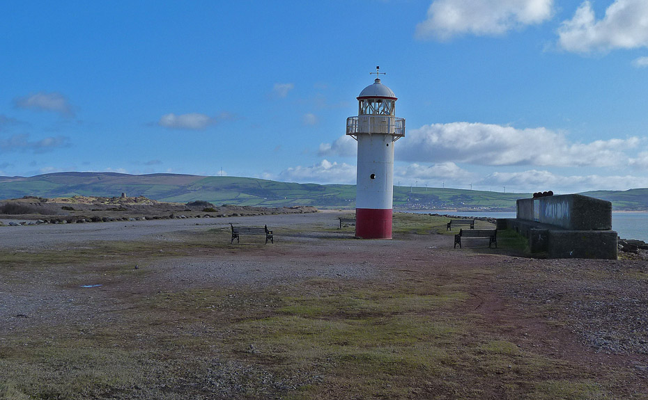
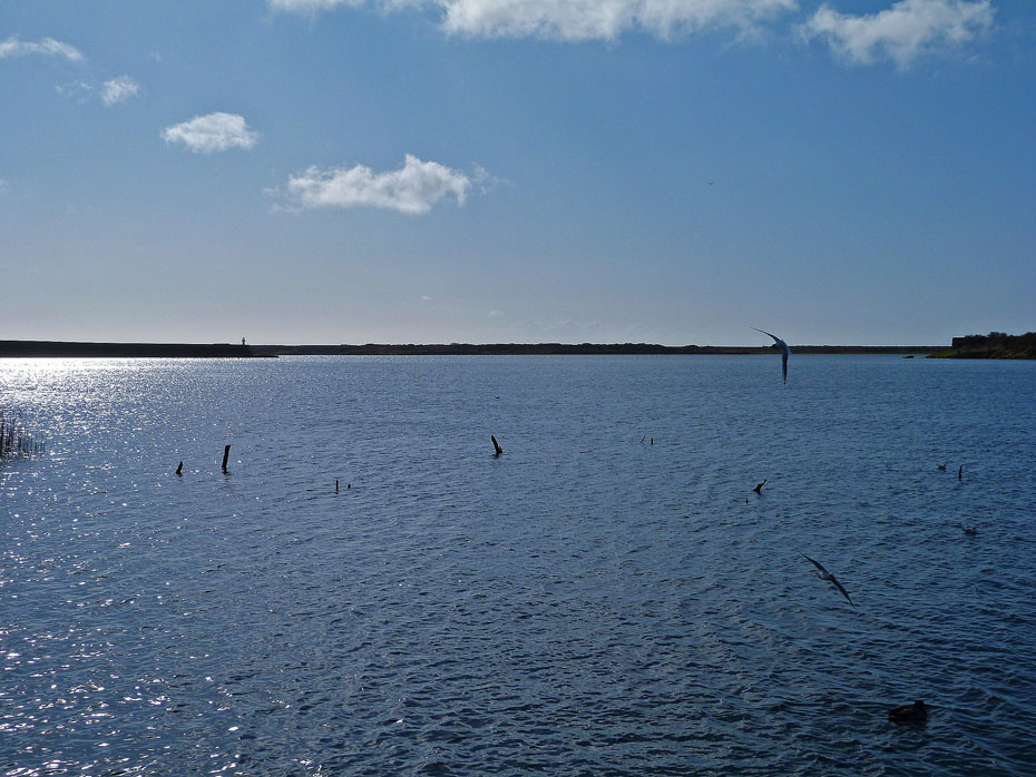
When the Board of Trade gave there consent for the Hodbarrow Mining Company to build the Outer Barrier they also stipulated that they should build a lighthouse on the outer curve of the Barrier. The Lighthouse was opened in 1905 and was in operation until 1949. It fell into a state of disrepair until in 2003 it was renovated .Funds were raised by Haverigg School and the Heritage Lottery fund donated £20,000. It has been adopted as Haverigg Primary School's logo and the pupils have been appointed honorary lighthouse keepers.
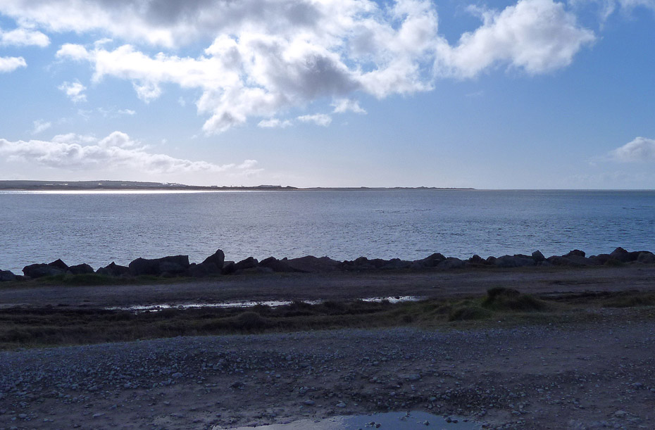
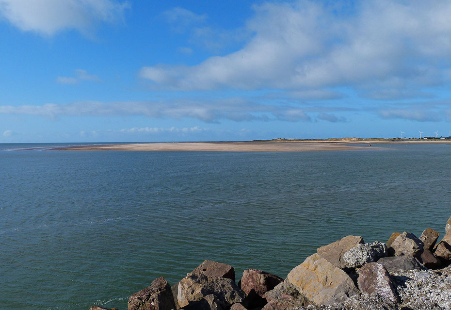
Looking across the Duddon estuary towards the north end of Walney Island and Sandale Haws Nature reserve.
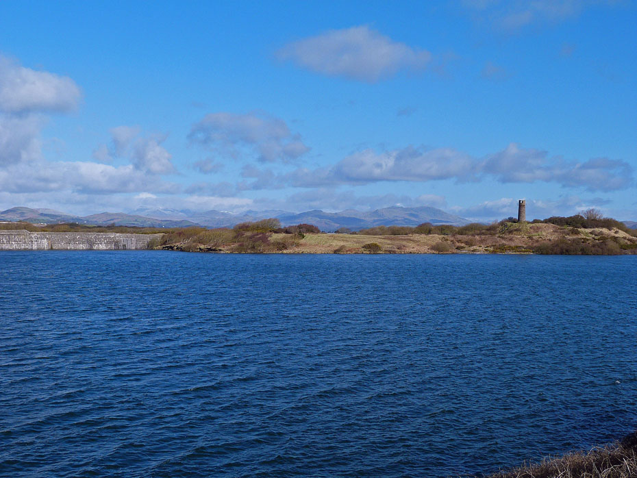
The Southern Fells.
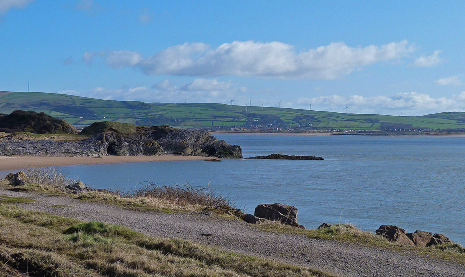
On our way to Hodbarrow Point with Askam Pier across the estuary.
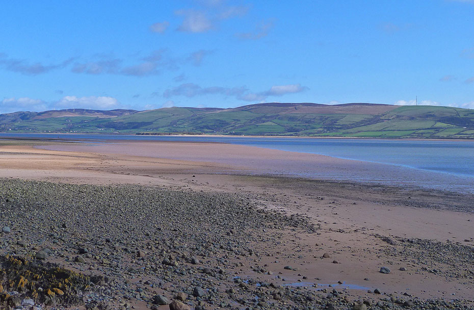
Looking across the estuary from Hodbarrow Point.
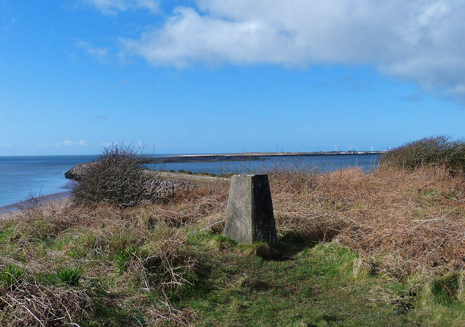
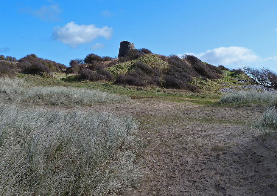
From the point it was but a short walk and climb to the Trig Point....
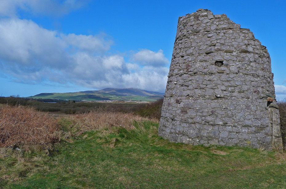
....and the remains of the Towsey Hole windmill.
Leaving the windmill we made our way....
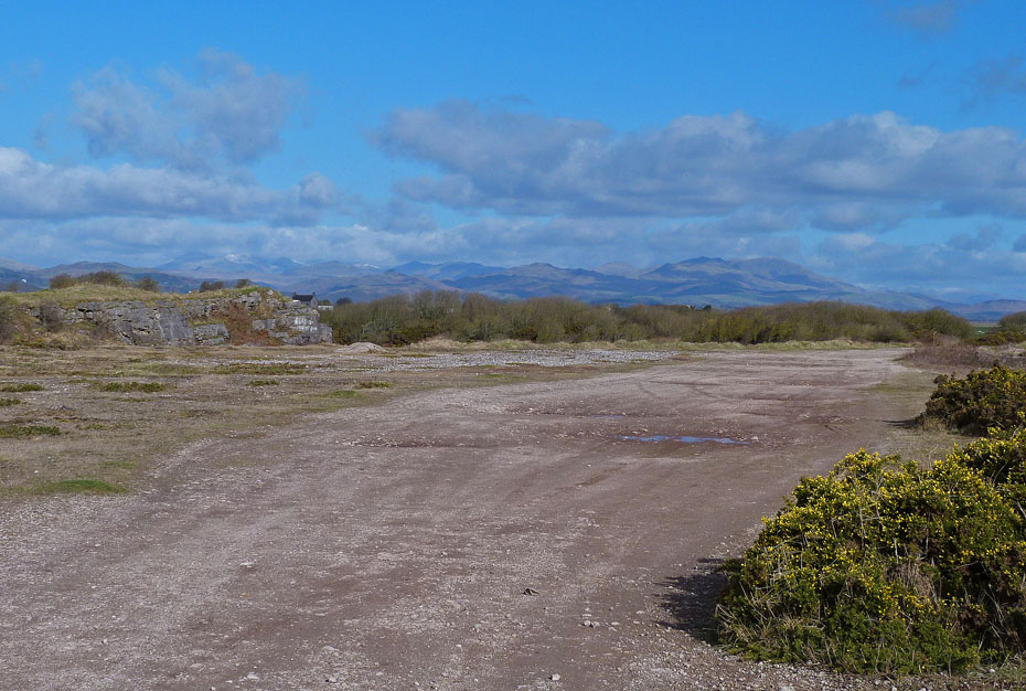
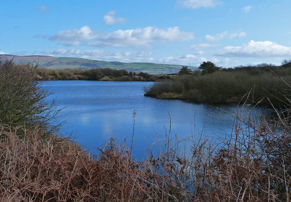
....to the now flooded Hodbarrow Quarry...
....and another nearby.
We made our way around the opposite end of the Hodbarrow Quarry...

...to visit Hodbarrow Beacon....it was built in 1866 to guide ships into the mouth of the Duddon estuary and safely past Hodbarrow Point to the company's pier at Millom, but was replaced by the new lighthouse on the Outer Barrier in 1905.
We then made our way back to the waterside...
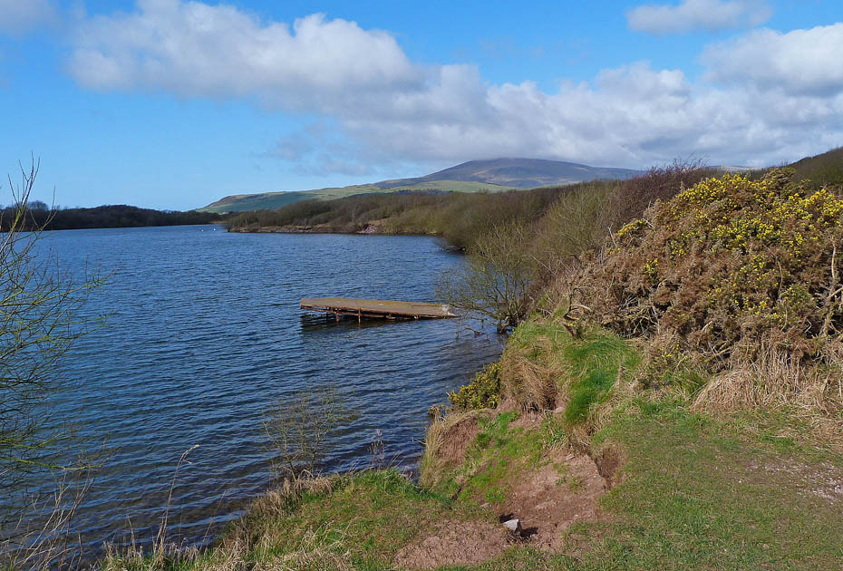
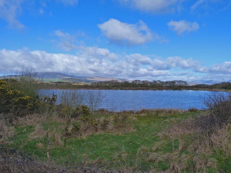
..to take a path which followed the perimeter of the lake...
....before leaving it to follow a lane...
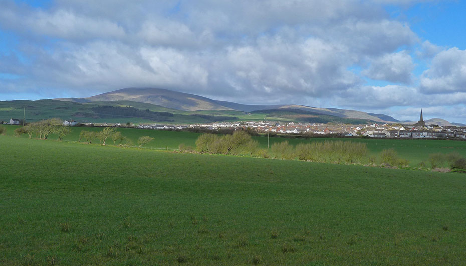
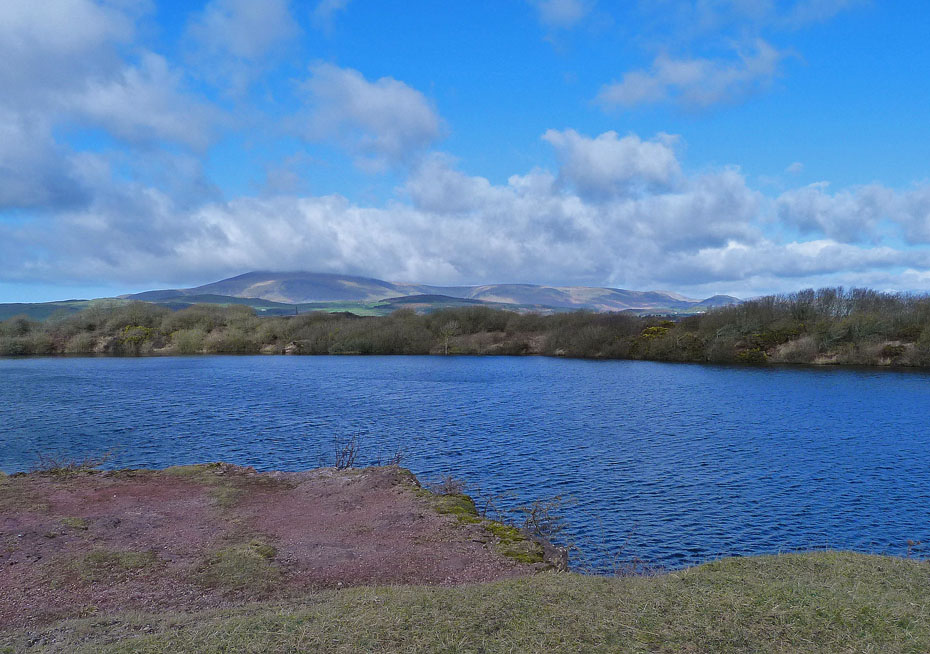
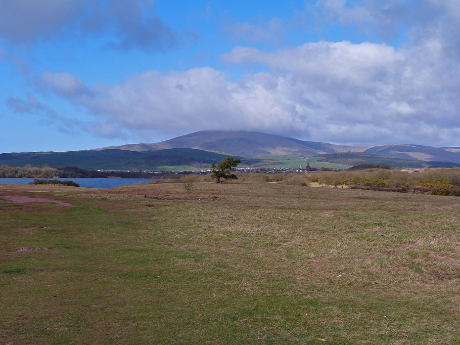
...from where we had this view of Millom...
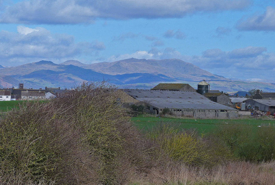
...and the Coniston Fells .
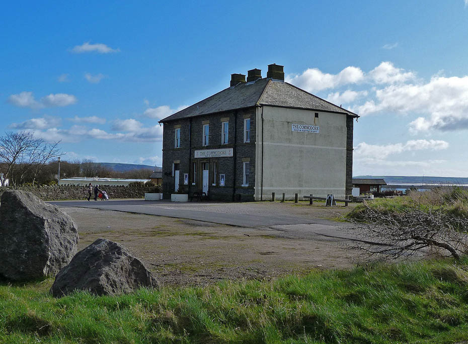
The lane took us past "The Commodore" and then down....
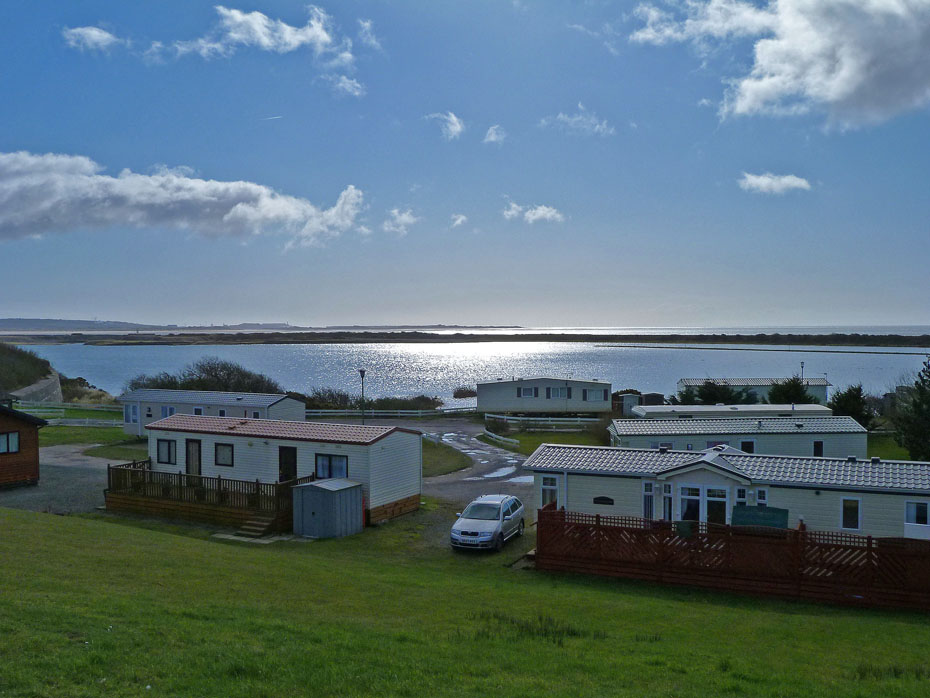
...to the Port Haverigg Holiday Park.
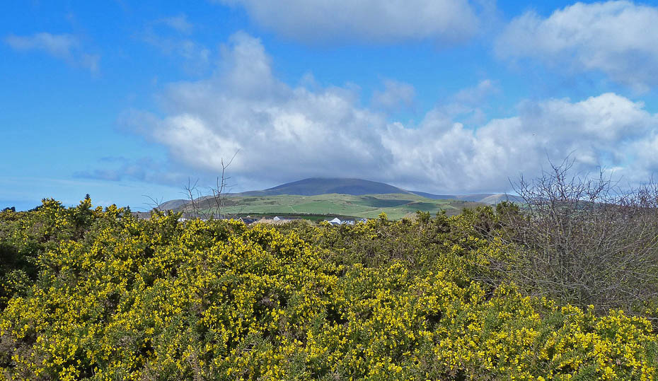
Yellow gorse.....Black Combe.
We took a small path alongside Haverigg Pool on the way back.
Back at the bridge across the pool and we got talking to a local lady. I mentioned that one of our Facebook friends lived in the area and we were taken to her house which was only a minutes walk away to be introduced. After a chat and after promising that we would try to arrange a walk together in the summer we made our way back to the car.
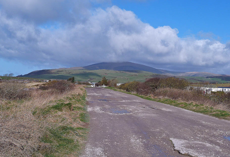
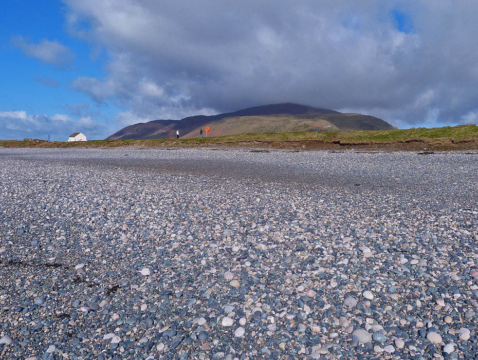
A final view from near the car. With a bit of time in hand we made our way a few miles up the coast to Silecroft.
Black Combe from Silecroft.
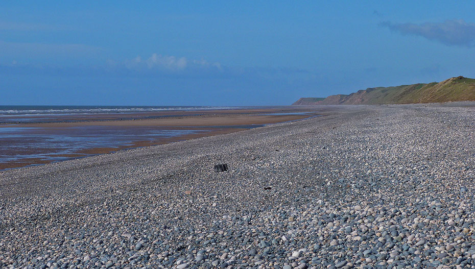
We had a short walk along the beach where Edith selected a few pebbles for her garden.
And finally.....Back to car and home.
Do you have Facebook?.....The Wainwright-Wanderings website as its own Fan Page on Facebook where additional pictures are posted and information given about recent walks and updates to the website. Please feel free to take a look at the page and maybe even "LIKE" it to keep in touch. The link to the Page is given below.
Wainwright-Wanderings Facebook Fan Page
Next Walk: 6th March 2012 - Lake District - Scout Scar
Last Walk: 2nd March 2012 - NW Lancashire - Around Sunderland Point from Overton.
We hope you have enjoyed viewing this walk. If you have any comments please sign our Guestbook or E_Mail us.
