
| Area: | Lake District (NW) | Ascent: | 949 feet |
| Walk No: | 204 | Time: | 2hours 30minutes |
| Date: | 8th September 2008 | Parking: | NT Car Park at Buttermere |
| Distance: | 3.00 miles | Weather: | Cloudy with sunny spells |
| Route: | Car Park - Rannerdale Knotts - Car Park |
For those of you that are thinking of going onto the hills I would strongly recommend that you read the advice given by the Mountain Rescue organisation of England and Wales. To read this advice, which will open in a new page please click HERE. If you would like to make a donation to the Mountain Rescue organisation which is purely voluntary please click HERE. Please make the time to read the advice page.
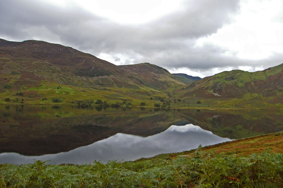
Only a short walk in distance but every step a delight. The last time we were up here in May it was a fine sunny day but very breezy but today was cloudy but calm. It is a pity that there wasn't a little more sun because the reflections on Crummock Water would have been so much better.
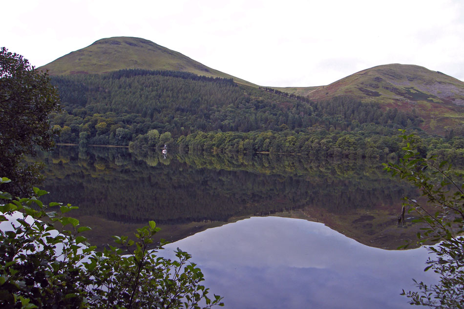
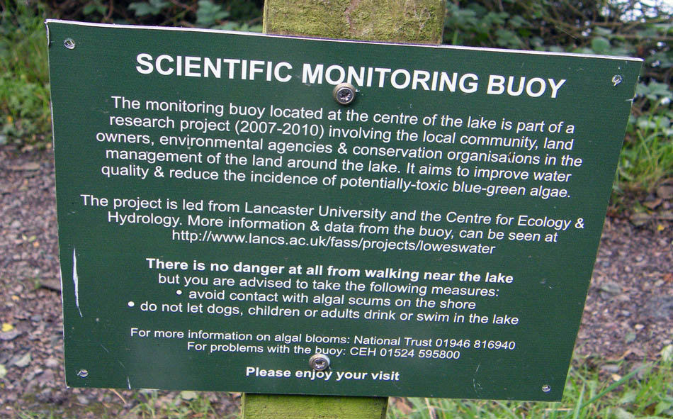
As we drove to Buttermere I had to pull in to get this picture of Loweswater from the roadside. On the left is Carling Knott a spur of Blake Fell and Burnbank Fell is on the right. I can't remember seeing the bouy in the water the last time we were here but as seen below it must have been there.
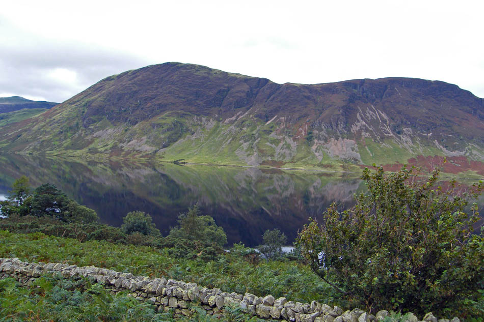
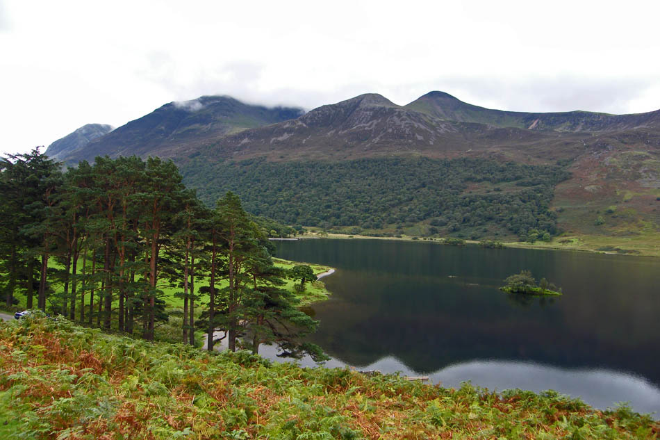
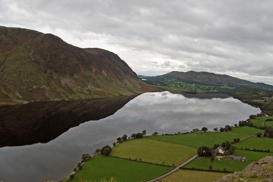
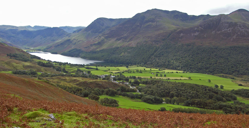
Our next stop was near Lanthwaite to get this picture of Mellbreak across Crummock Water
And from the same spot todays objective, Rannerdale Knotts. Notice the car near the trees below? Edith had stayed by the car and as I walked back down she was gesturing me to be quiet.
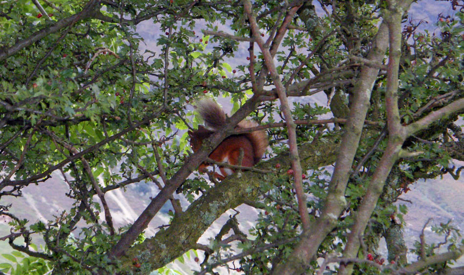
There had been two of these little chappies playing in the branches but one scarpered on my approach. This one however was quite complacent of me being there even when the flash on the camera went off......hence the glint in its eye.
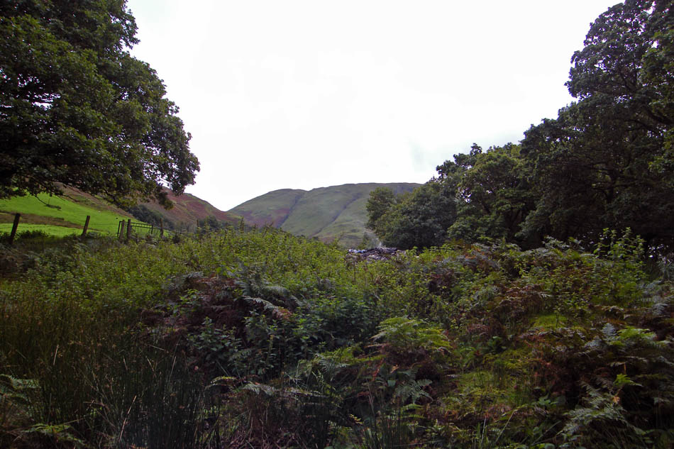
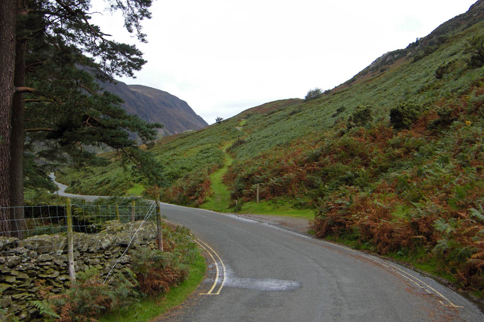
We parked up at the NT Car Park at Buttermere and walked back along the road towards Great Wood avoiding the road on this section of what I believe is probably the "old" coach road.
We were soon at the start of the path along Rannerdale Knotts.
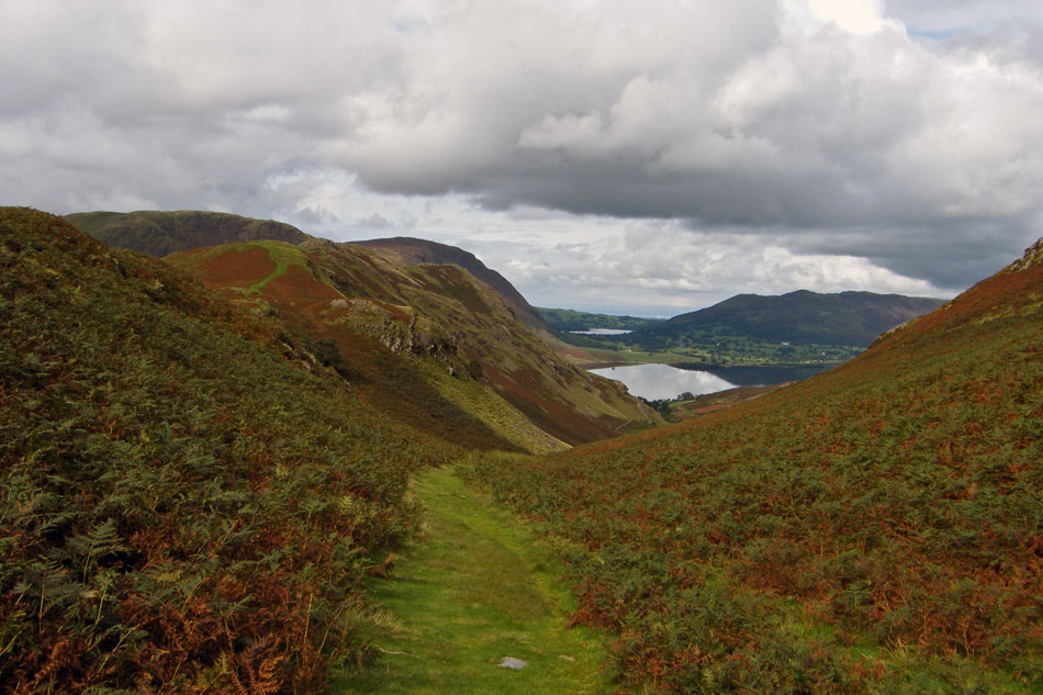
A glance back towards Dodd with Red Pike behind and a cloud topped High Stile
Looking back to Fleetwith Pike and Haystacks.
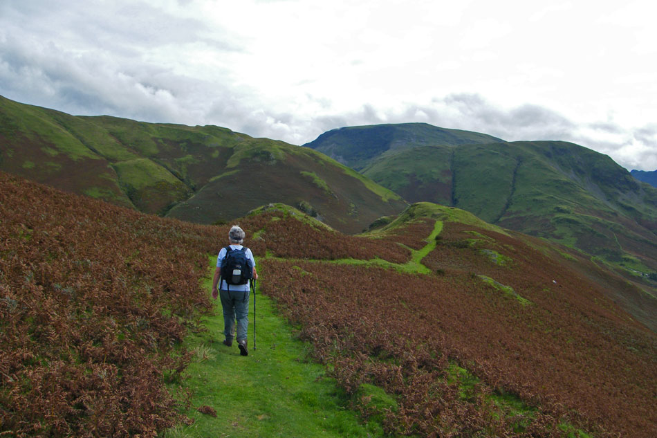
By now we had left the old path to The Hause and were climing more steeply towards the ridge
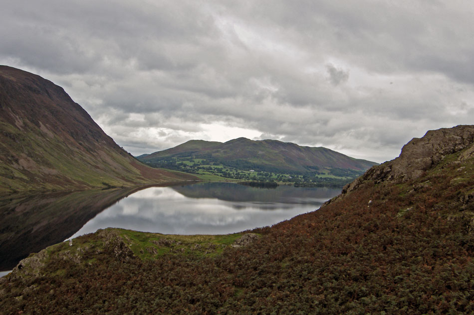
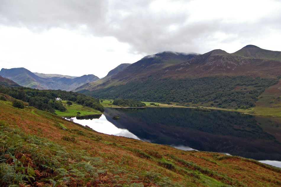
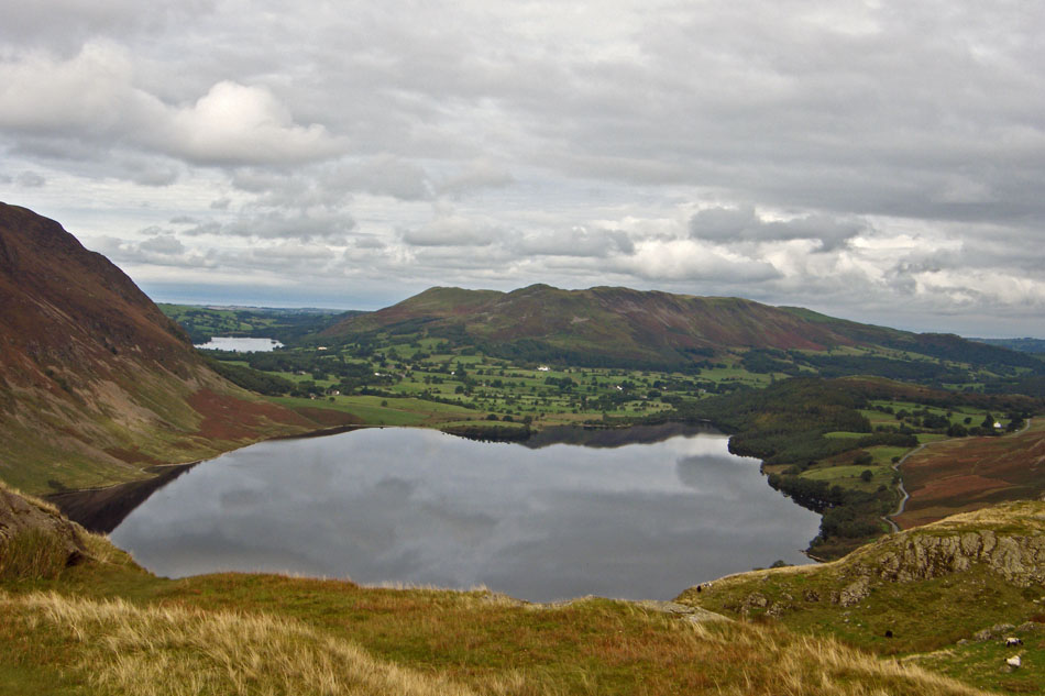
Looking down Crummock Water to Low Fell and Darling Fell

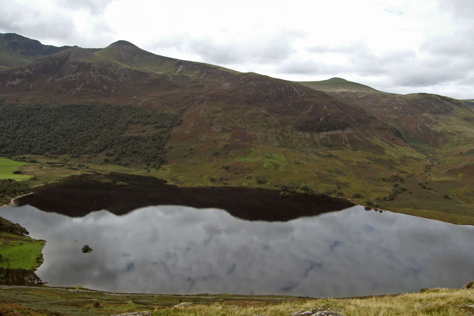
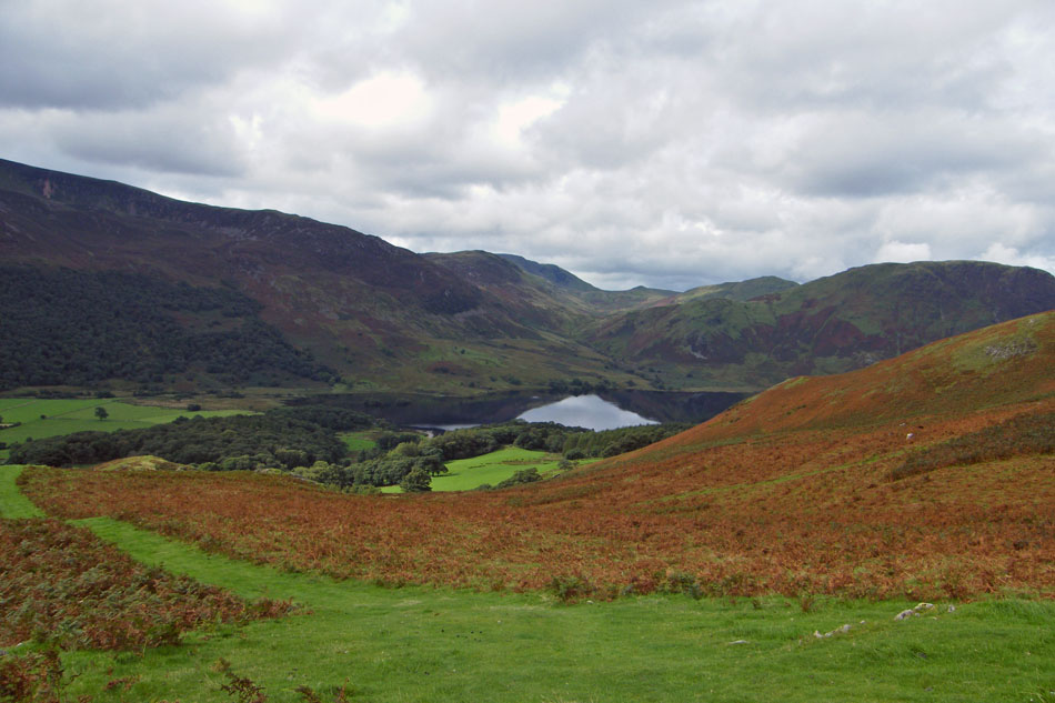
The south top of Mellbreak and Scale Knott are reflected in the calm water.
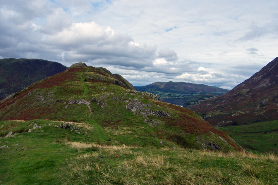
Nearly on the ridge as a bus passes by beneath us.
On the ridge now and a look down to Rannerdale farm.
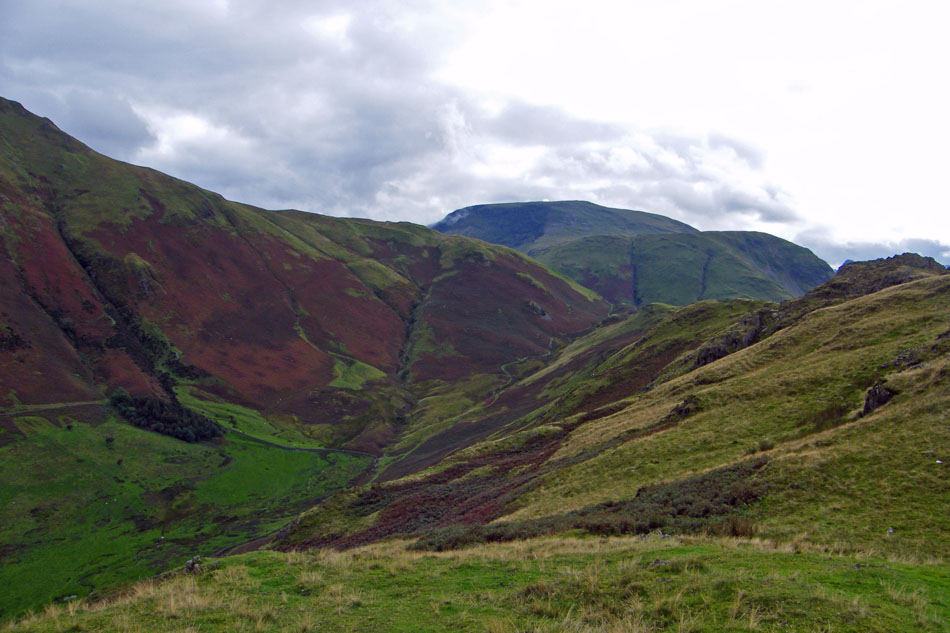
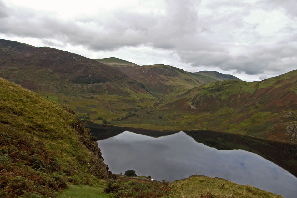
Looking up Rannerdale. It is said to be the site of a battle between native Cumbrians and Norman invaders in the late 11th or early 12th Century.
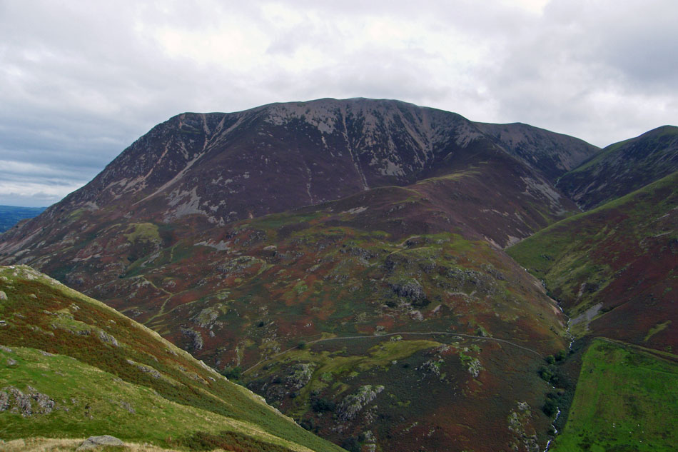
Grasmoor overlooks us with some cloud passing over
The Lad Hows ridge leading up to Grasmoor with Rannerdale Beck and Whiteless Pike to the right.
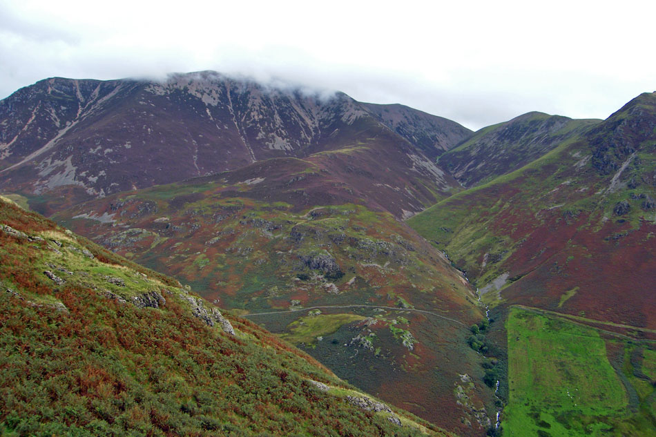
Darling Fell, Low Fell and Fellbarrow with Loweswater to the left.
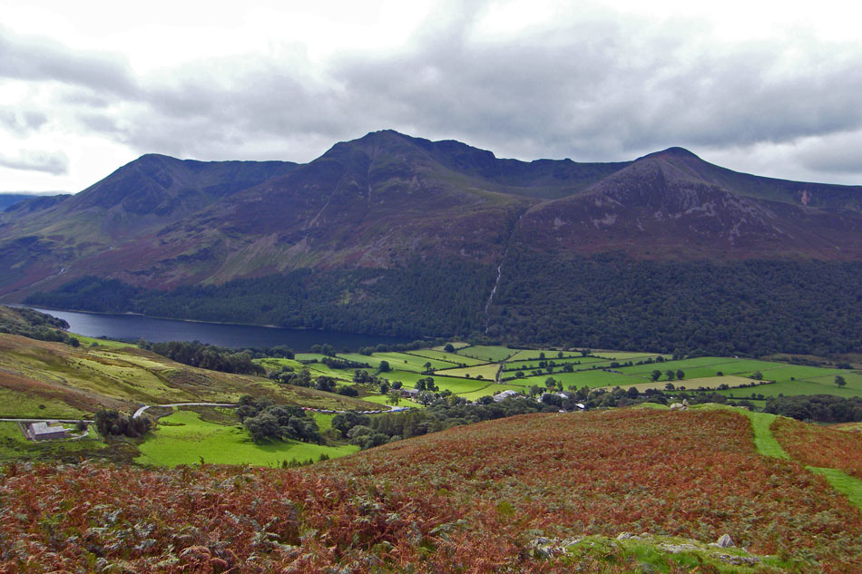
Grasmoor
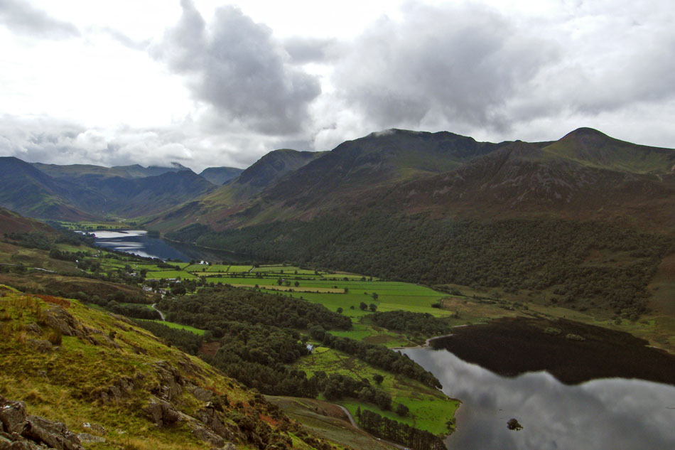
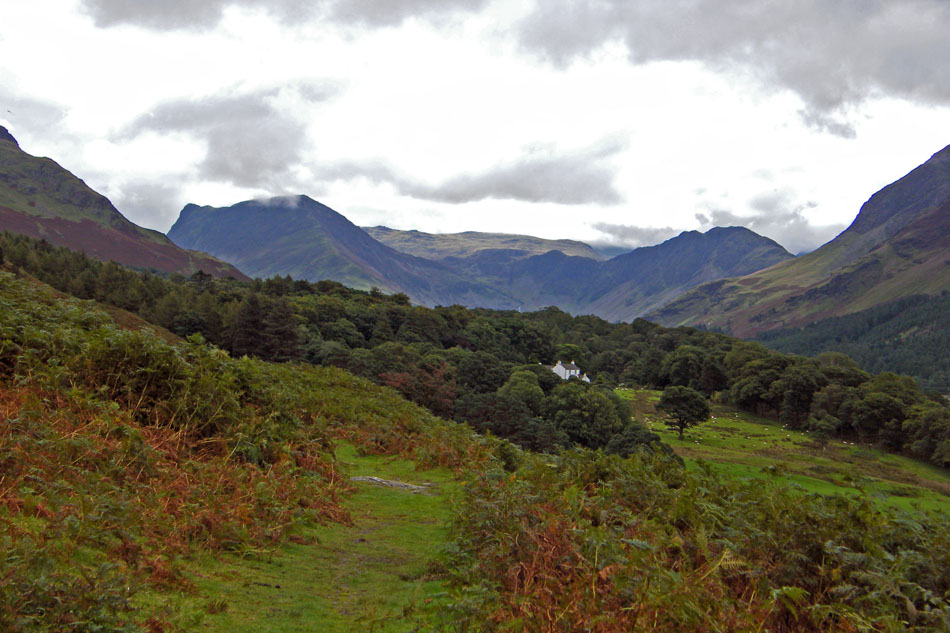
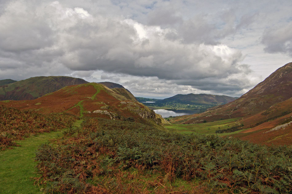
A look up the Buttermere valley and now Kirk Fell and Great Gable can be seen over Haystacks.

Looking across to the Floutern Pass with Starling Dodd and Great Borne in the distance.
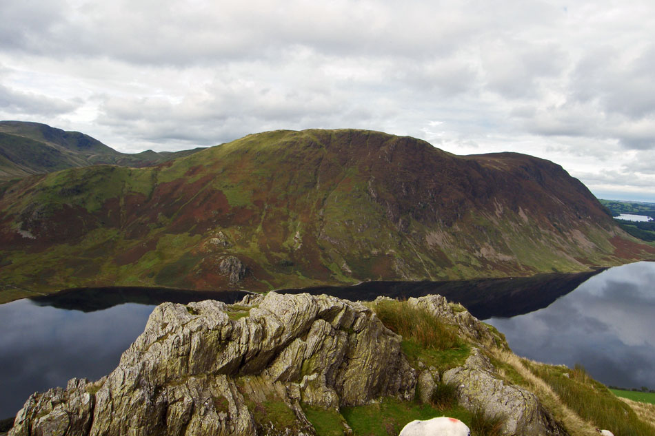
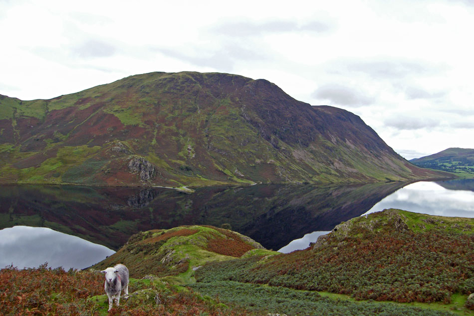
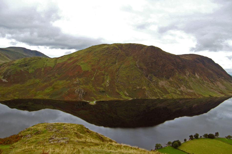
Mellbreak
Can't remember what I said but it made Edith laugh.
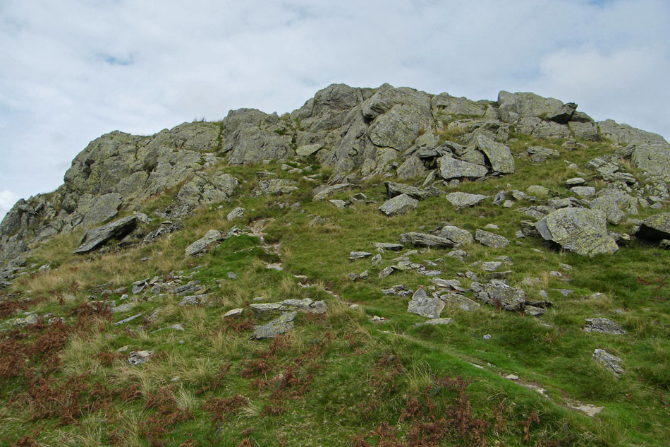
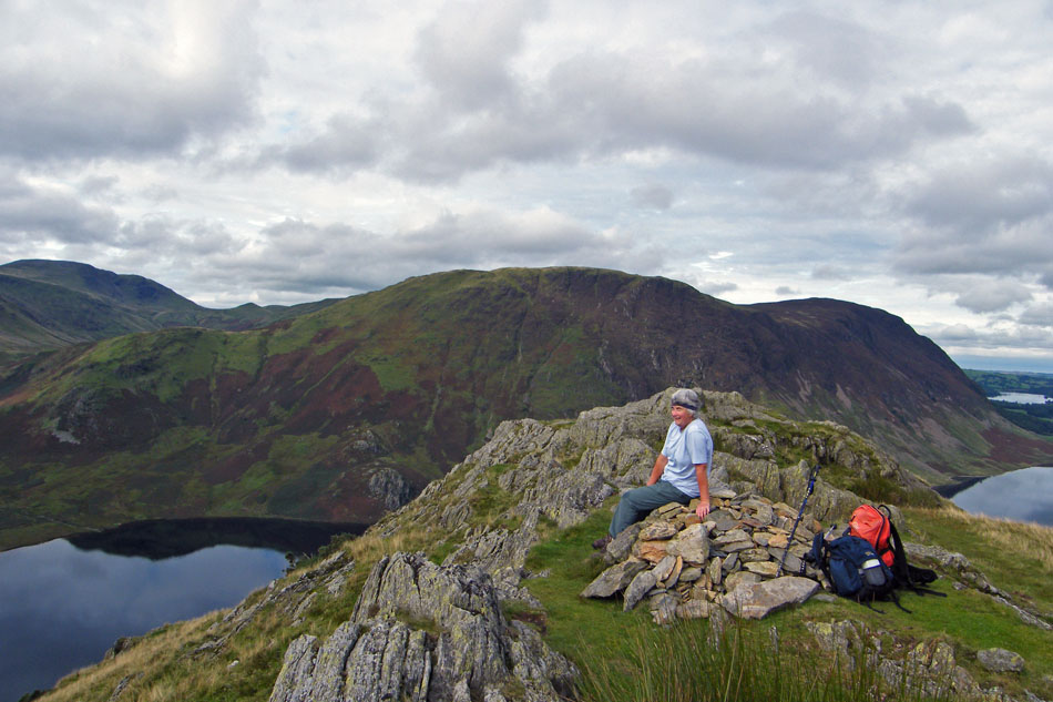
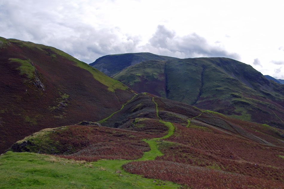
We are now walking along Low Bank and have just come down AW's "rockstep"
Lovely walking and delicous views over High Snockrigg to Robinson......
and down into the Buttermere valley
A look back along Low Bank
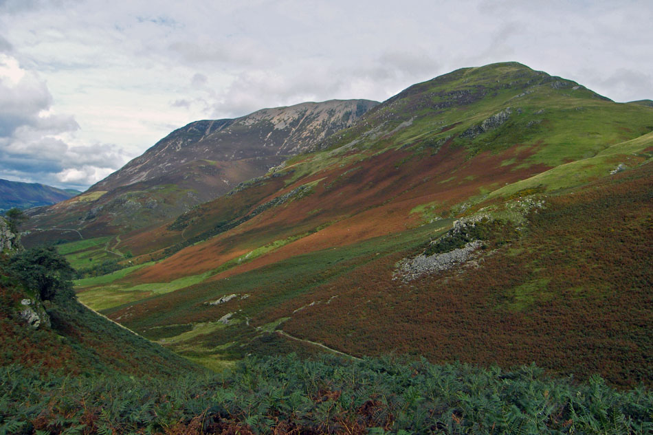
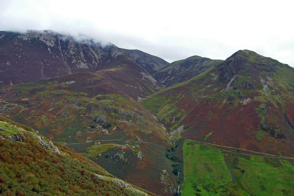
Rannerdale
Looking down Rannerdale before we turned to descend to Buttermere.
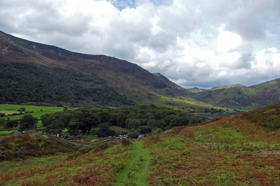
Setting off down and looking across to Sourmilk Gill as it drops down from Bleaberry Tarn.
I had expected the grassy paths to be fairly slippy with all the rain but they were quite good.
And finally......nearly back to the car. Can you spot it?....it's the blue one on the far right.
Next Walk: 8th September 2008 -- Lake District (NW) -- A circuit of Buttermere
Last Walk: 7th September 2008 -- Lake District (NW) -- A walk around the foot of Ennerdale
We hope you have enjoyed viewing this walk. If you have any comments please sign our Guestbook or E_Mail us
