
| Area: | Yorkshire Dales (N) | Ascent: | 1025 feet |
| Walk No: | 263 | Time: | 4hours 30minutes |
| Date: | 1st June 2009 | Parking: | Roadside at Muker |
| Distance: | 6.25 miles | Weather: | Unbroken sunshine and very hot |
| Route: |
Muker - Keld (on west side of river) - Muker (on eastern side) |
For those of you that are thinking of going onto the hills I would strongly recommend that you read the advice given by the Mountain Rescue organisation of England and Wales. To read this advice, which will open in a new page please click HERE. If you would like to make a donation to the Mountain Rescue organisation which is purely voluntary please click HERE. Please make the time to read the advice page.
After a few days just doing easy flat walks I wanted to step the mileage up a little and to include a bit of height gain. It was very hot in the valley bottom and my fitness level is well below par. This combined with a bit of a tumble makes the time for this walk a bit slow.
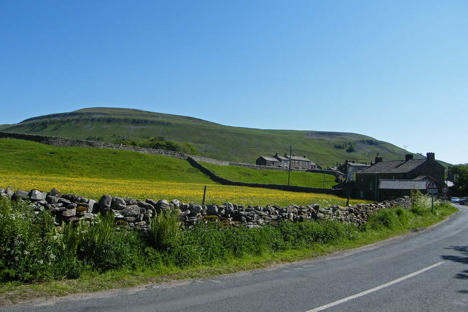
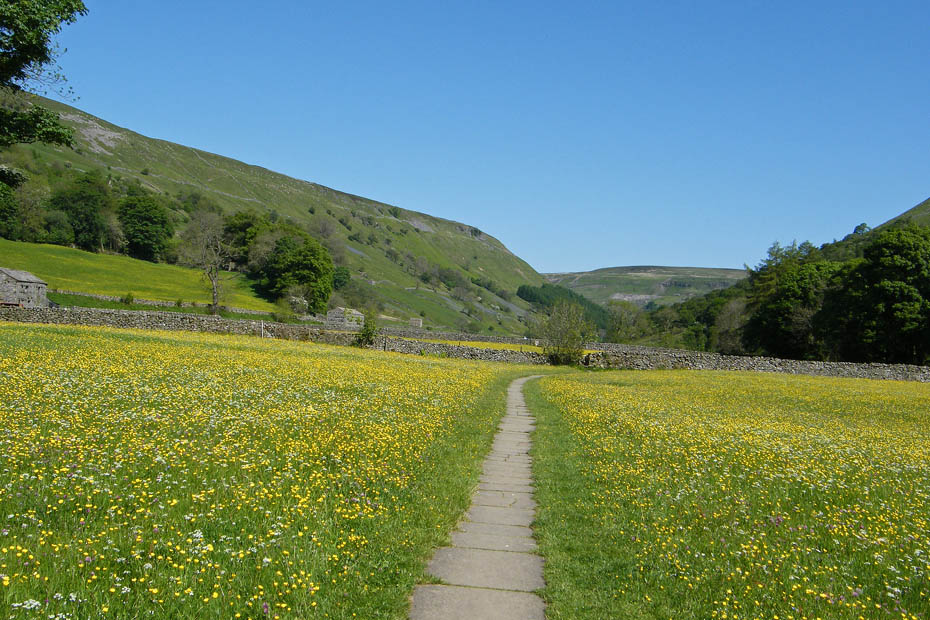
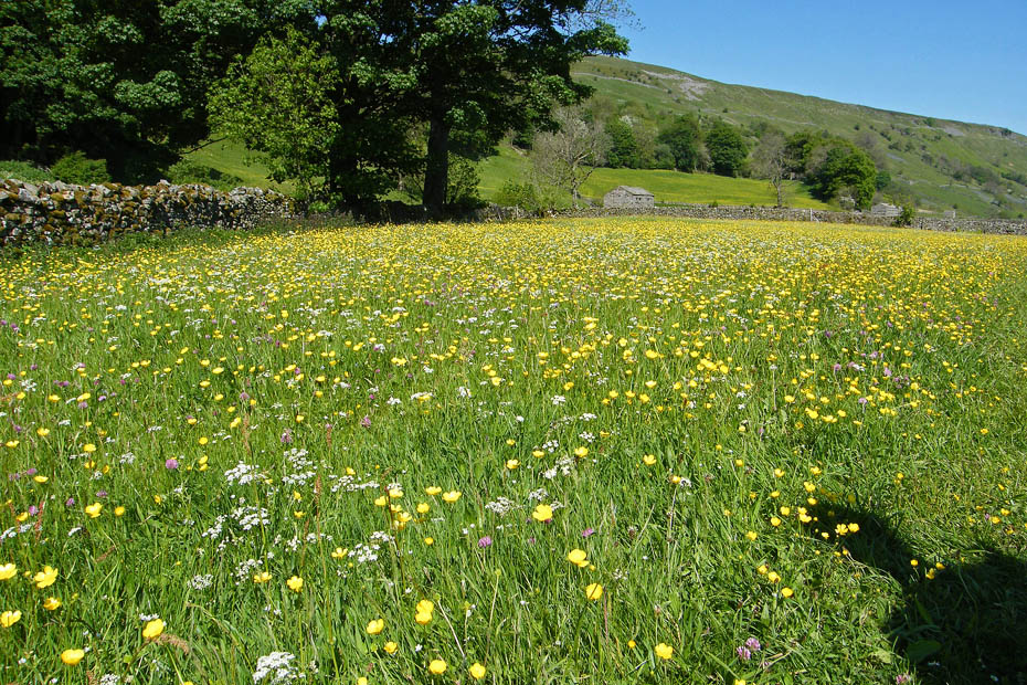
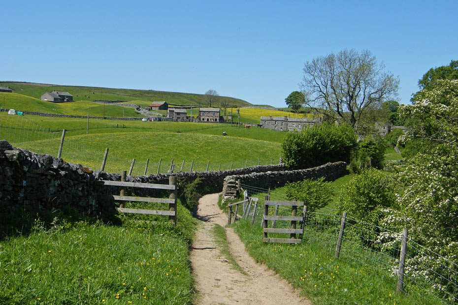
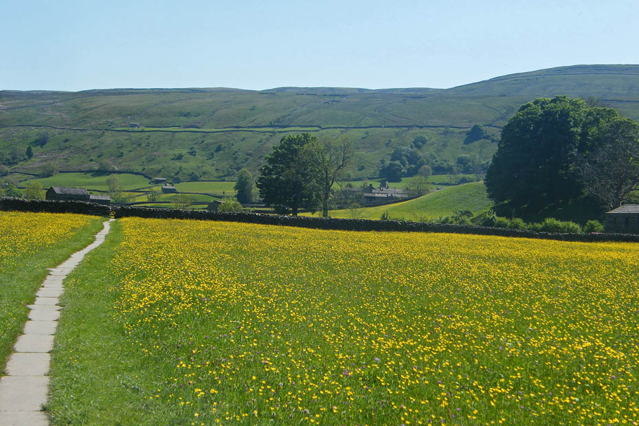
We left the car by the roadside at Muker and walked through the village to pick up the path through the Hay Meadows.
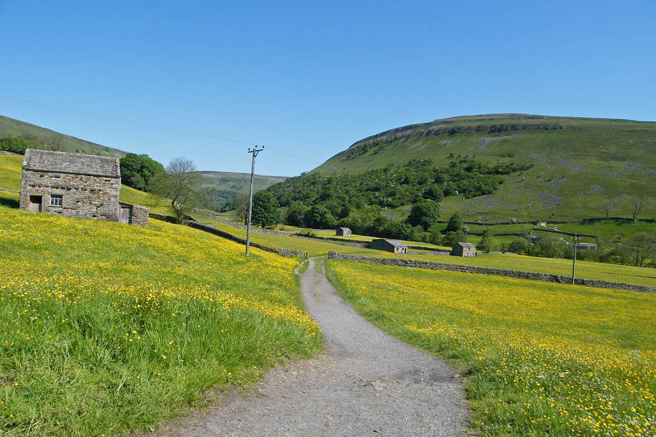
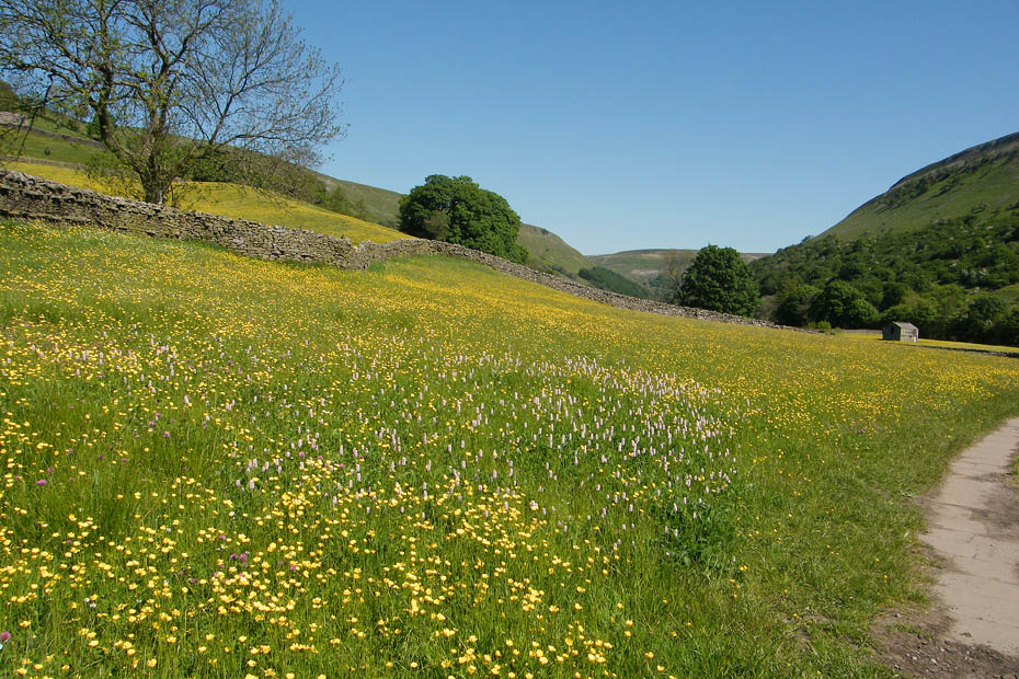
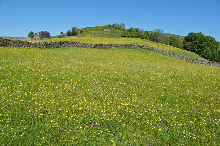
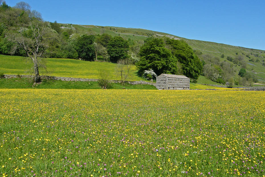
We are a few days earlier than when we did this walk last year and I think the hay meadows would benefit from a drop or two of rain. Despite that they are always a pleasure to see. Better pictures of them can be seen HERE (opens in new window)
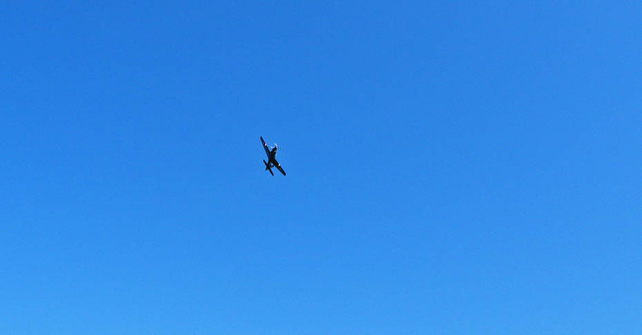
Just managed to snap this chappie as he flew down the valley
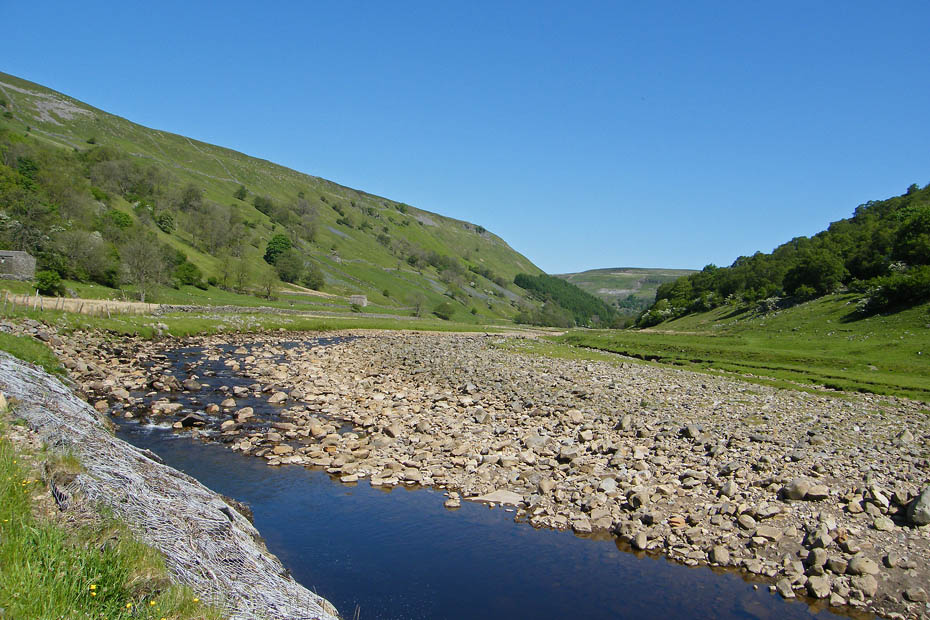
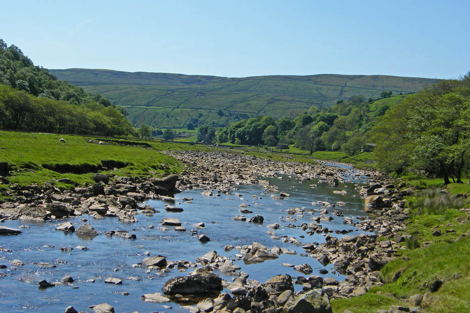
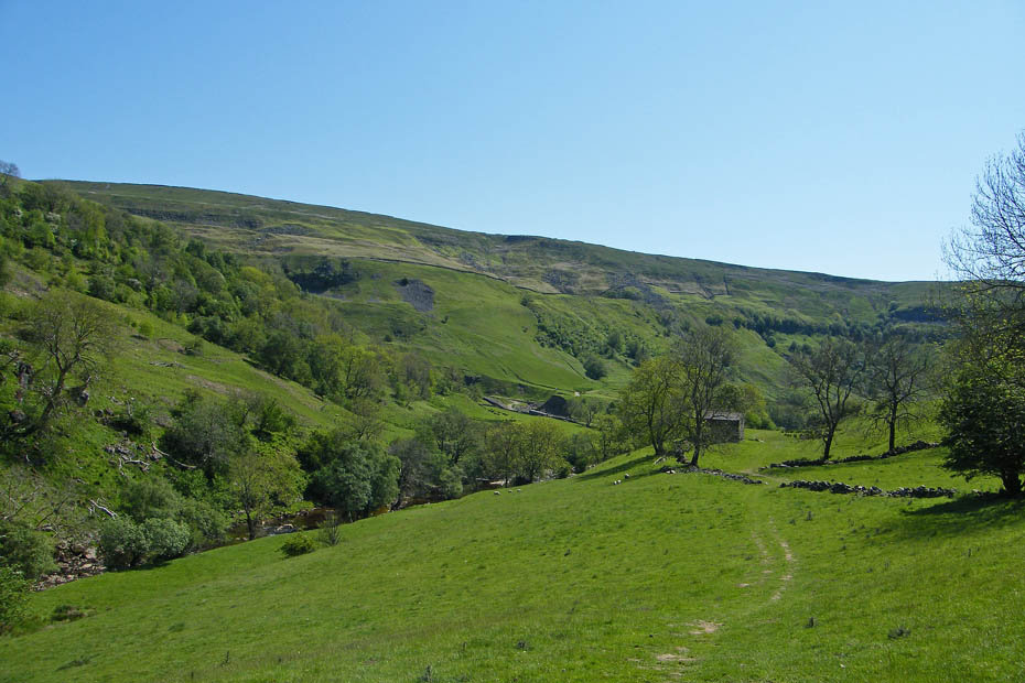
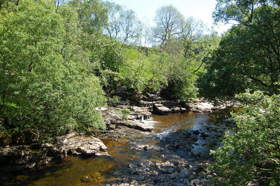
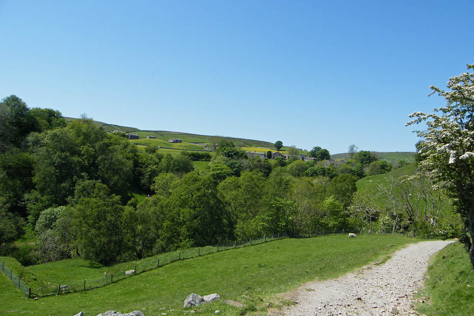
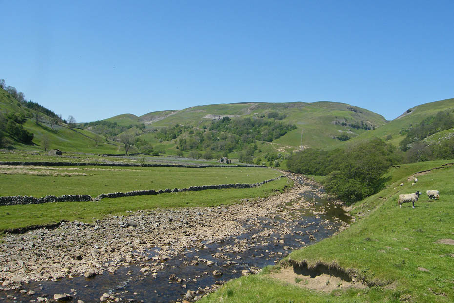
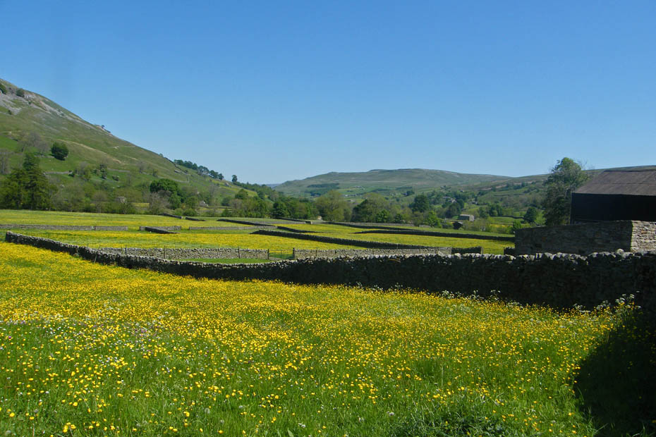
Soon the hay meadows came to an end as we joined the River Swale. Our path would be up the left side as you look at it.
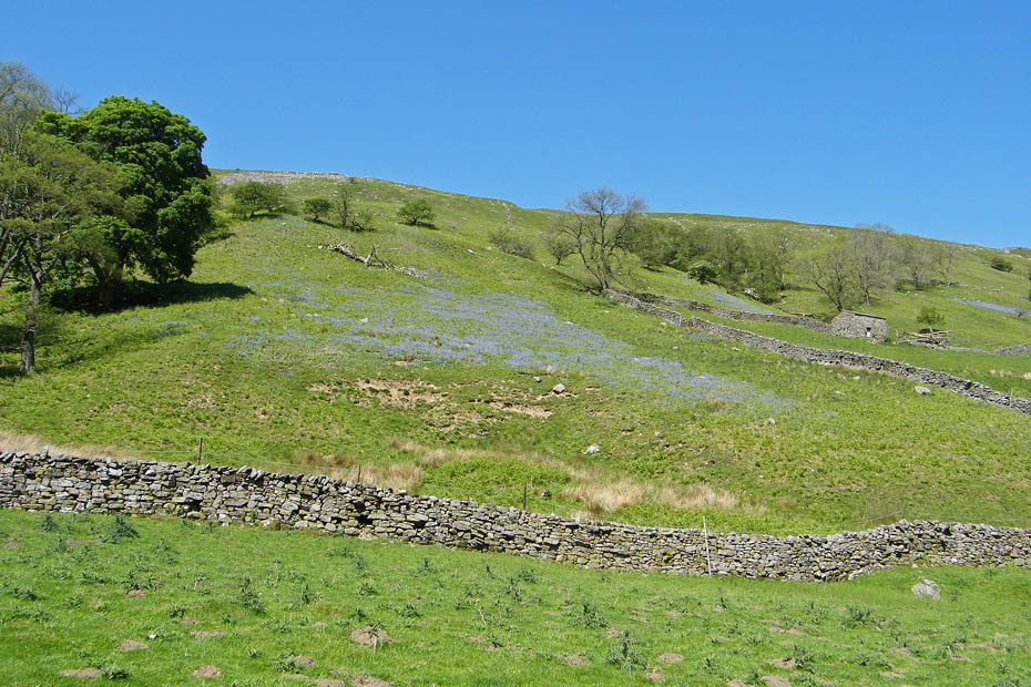
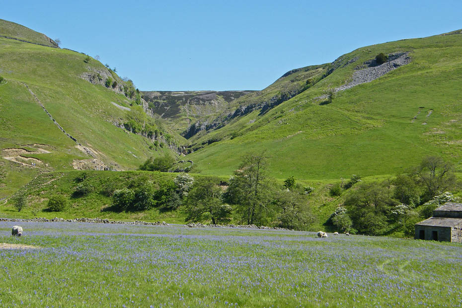
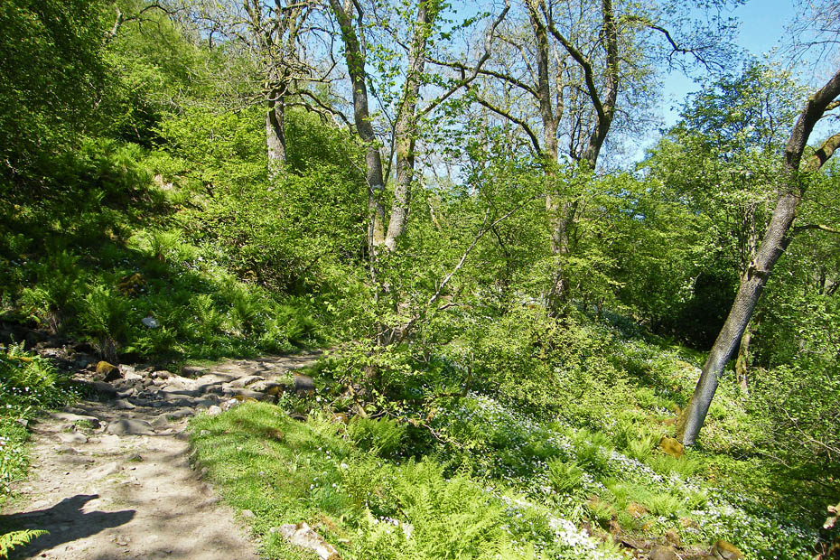
The bluebells are still flowering on the side of Kisdon.
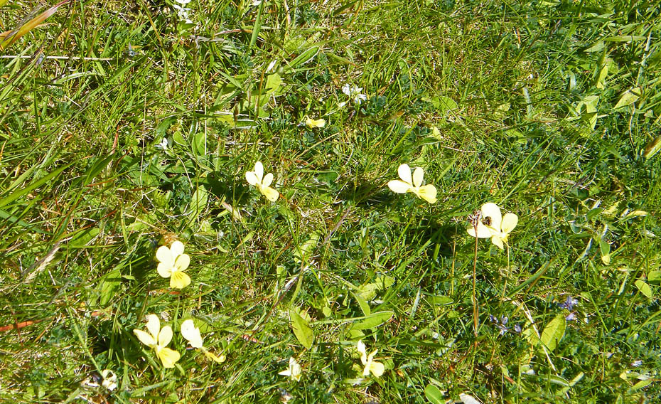
Wild Pansies
A look back.
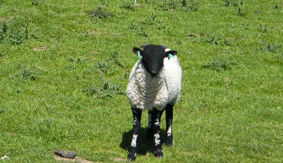
Fancy earrings
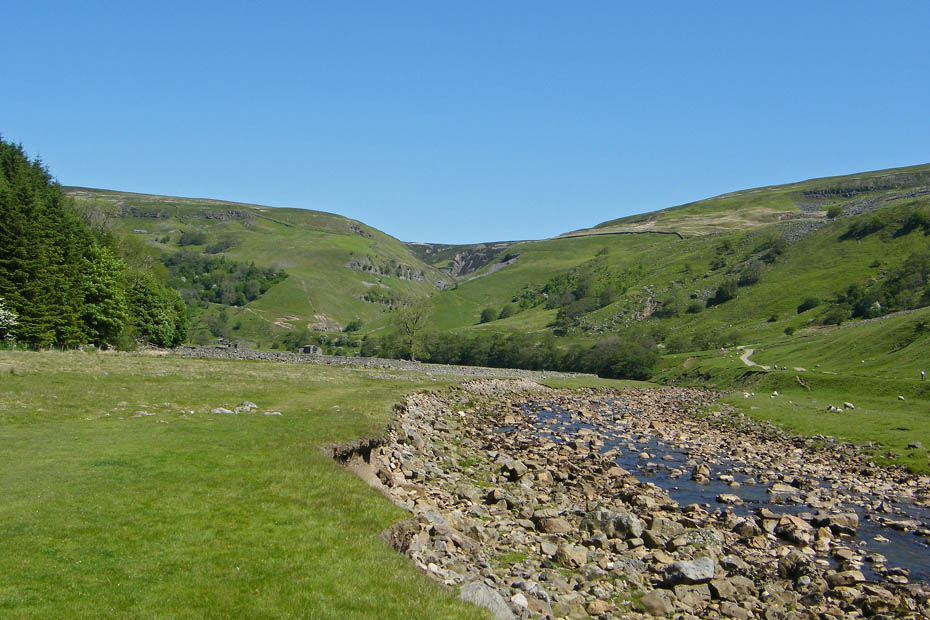
Looking across the valley to Swinner Gill
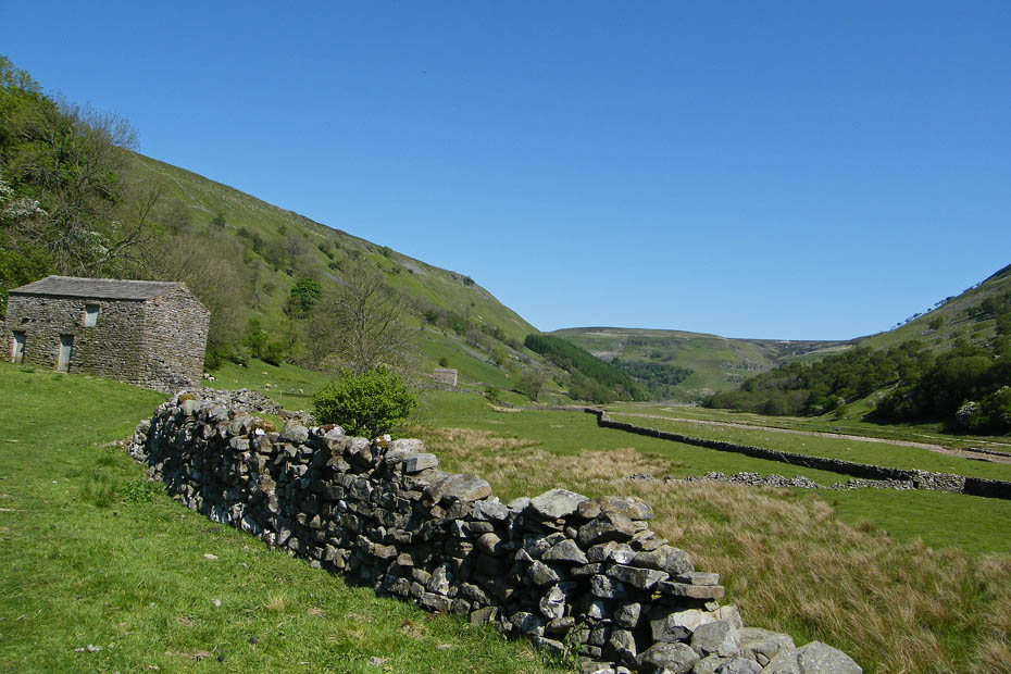
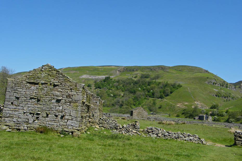
Lasy year when we walked up here Edith had to rescue a lamb that had become trapped in old fencing wire from this barn.
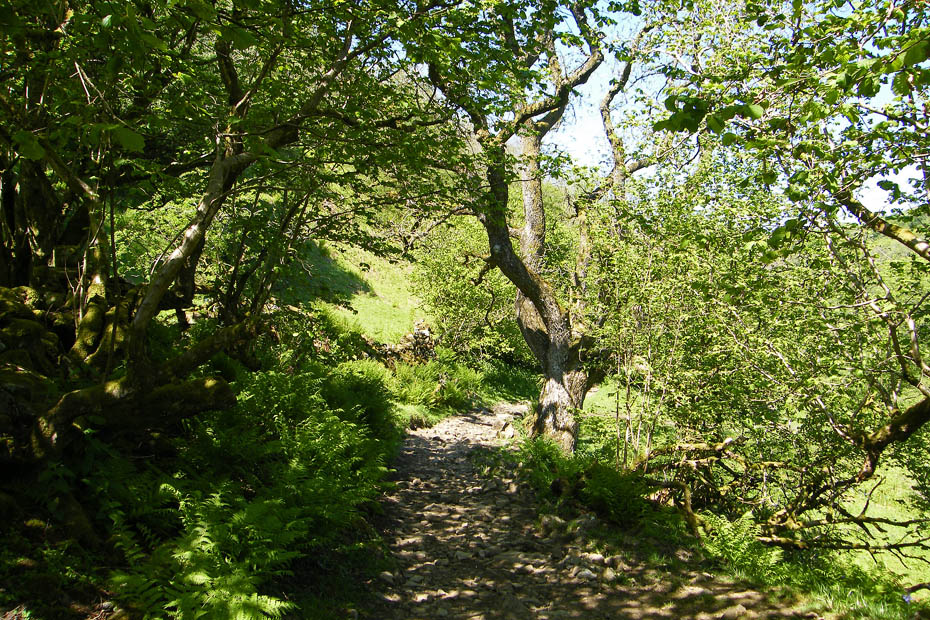
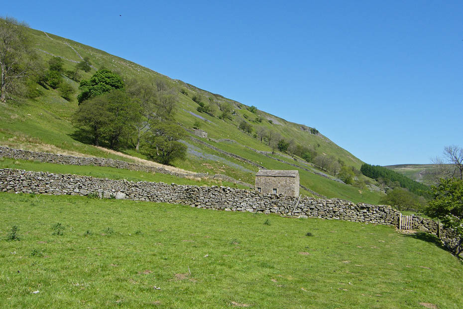
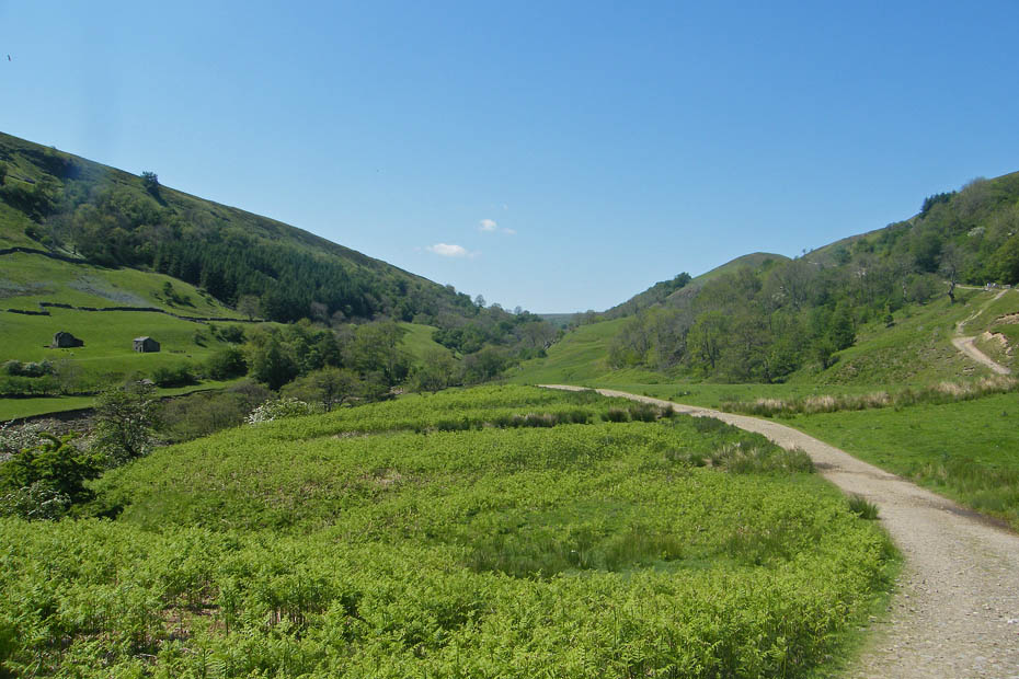
It was very hot by now and this small copse gave a bit of shelter from the sun for a short while.
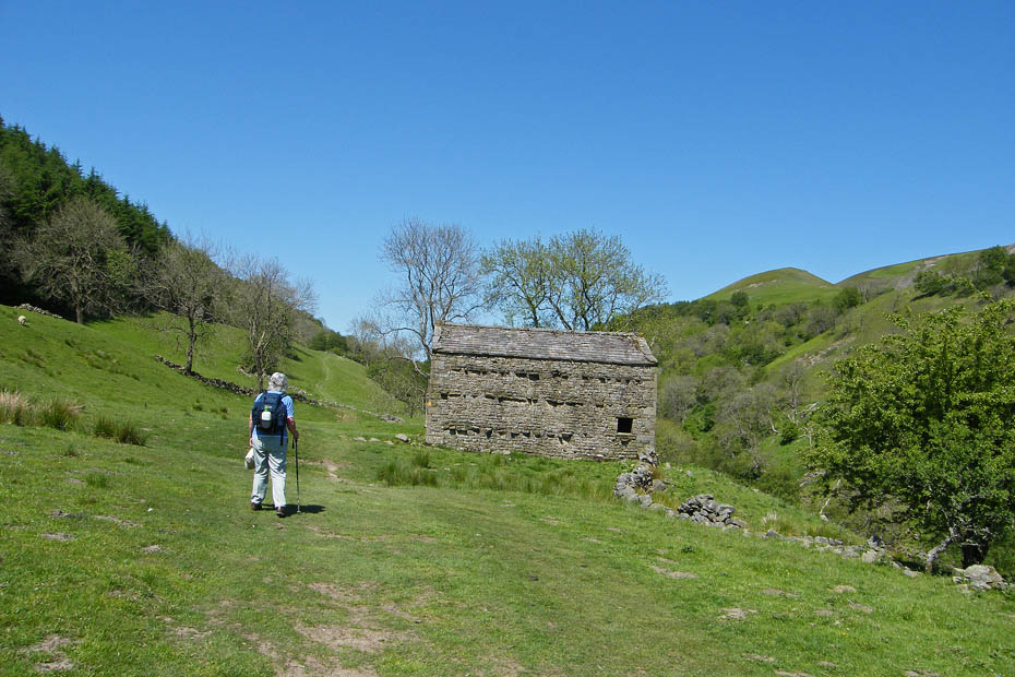
Nearly at Keld
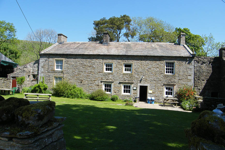
The shade of the tree and a pot of tea and fruit cake were all welcome.
We followed our path back a short way before crossing the footbridge.
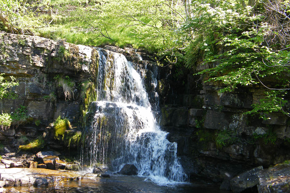
A small waterfall coming down East Stonedale
Looking back to Keld
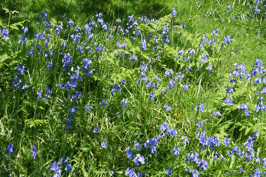
The bluebells are still bright and fresh
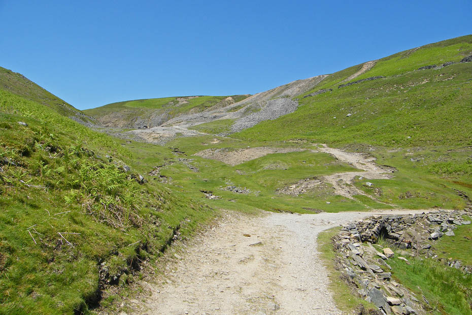
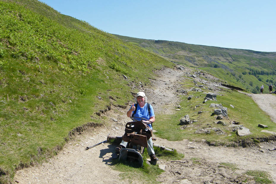
Our route takes us past the old Beldi Hill Lead mines.
One for the grandchildren. The higher path leads to Crackpot Hall.
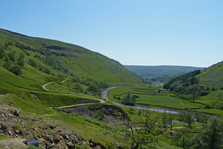
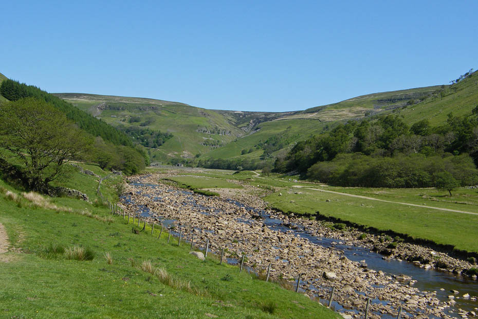
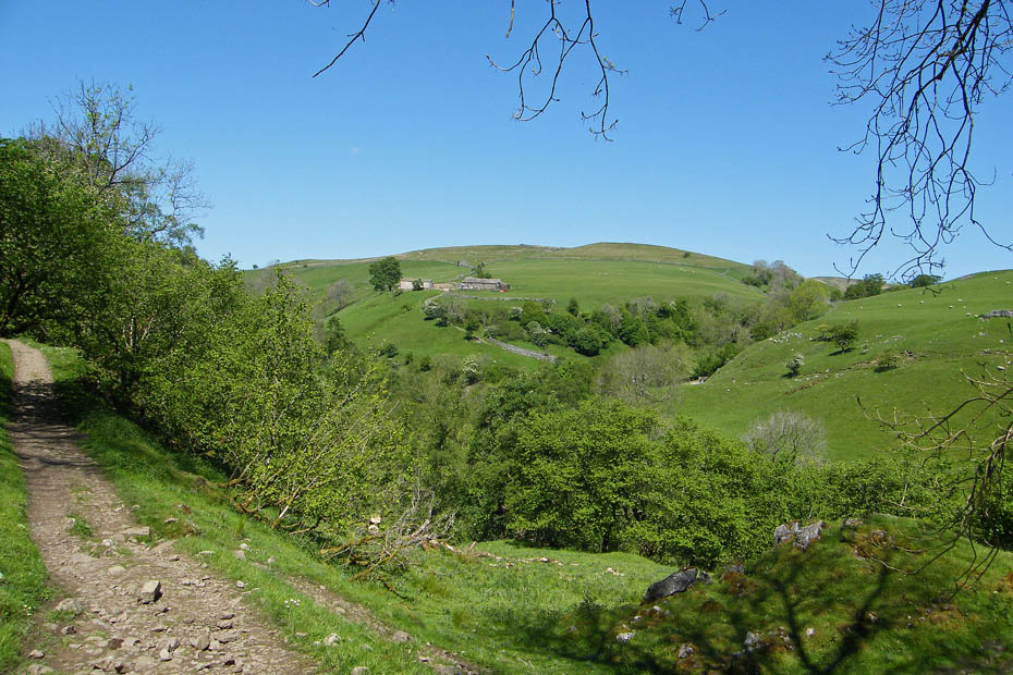
Looking down the valley with our return route clearing visible to the left.
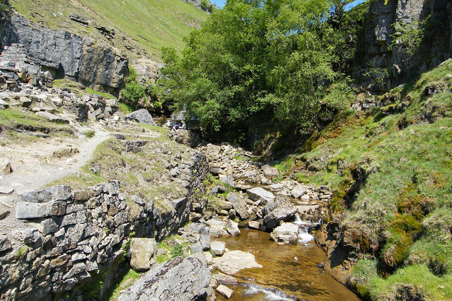
Looking up a rather dry Swinner Gill. This is where I took a tumble. As I stepped off the footbridge I somehow lost my footing and fell forward before doing two rolls down the banking. Fortunately no major damage done, just a couple of cuts on my hand a number of grazes and a bruised cheekbone and rib. The worst bit was that I landed in a small pool of mucky water and because my keees were higher than my hips I was unable to get up. Fortunately there was a group nearby who helped me up. As you can see the camera that I was carrying at the time escaped damage.
After a bit of a sit down and elastoplast in place we were able to carry on down the valley. I think those bits of cloud were the only ones we saw all day.
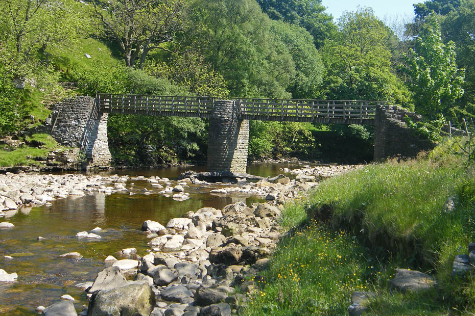
Ramps Holme bridge which we had crossed to return to Muker
Walking back through the hay meadows
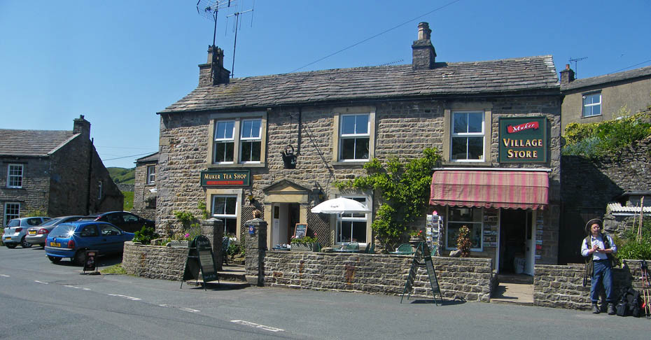
Fortunately I had dried off enough to visit the cafe.
Next Walk: 4th June 2009 - Arnside & Silverdale AONB - Arnside Knott
Last Walk: 30th May 2009 - Local - Heysham Moss
We hope you have enjoyed viewing this walk. If you have any comments please sign our Guestbook or E_Mail us.
