
| Area: | Forest of Bowland | Ascent: | 250 feet |
| Walk No: | 277 | Time: | 1hour 15minutes |
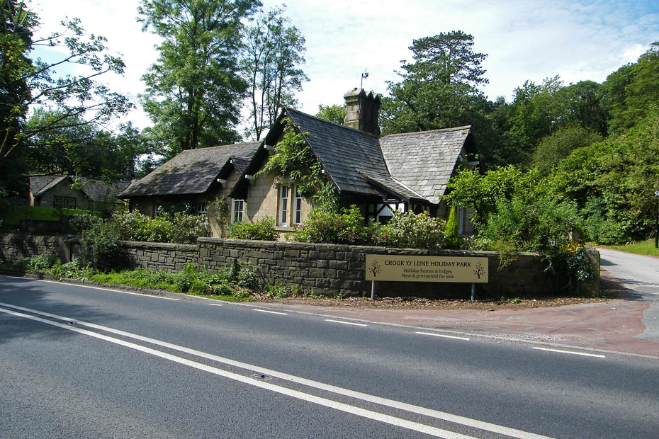
| Date: | 2nd July 2009 | Parking: | Crook O'Lune picnic site car park |
| Distance: | 1.75 miles | Weather: | Fine with sunny spells |
| Route: | A walk around the Crook O'Lune with a diversion to Gray's Seat |
For those of you that are thinking of going onto the hills I would strongly recommend that you read the advice given by the Mountain Rescue organisation of England and Wales. To read this advice, which will open in a new page please click HERE. If you would like to make a donation to the Mountain Rescue organisation which is purely voluntary please click HERE. Please make the time to read the advice page.
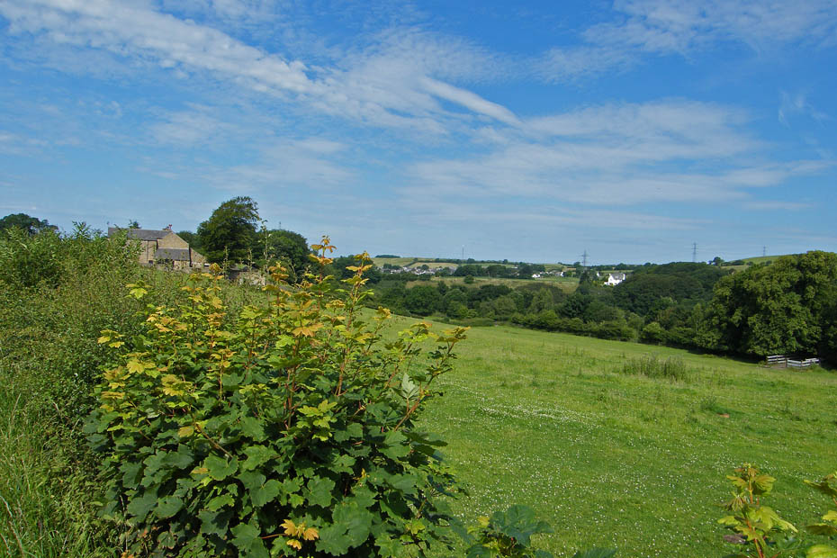
After Mondays walk I was still not 100% after being caught with the sun but it had the makings of a lovely day. I settled for a short walk around the wonderful Crook O'Lune hoping to catch some reflections and also a visit to a spot I had never visited before, Gray's Seat which was made famous by the poet Thomas Gray in 1769. This walk although previously classed as "Local" is within the boundaries of the Forest of Bowland.
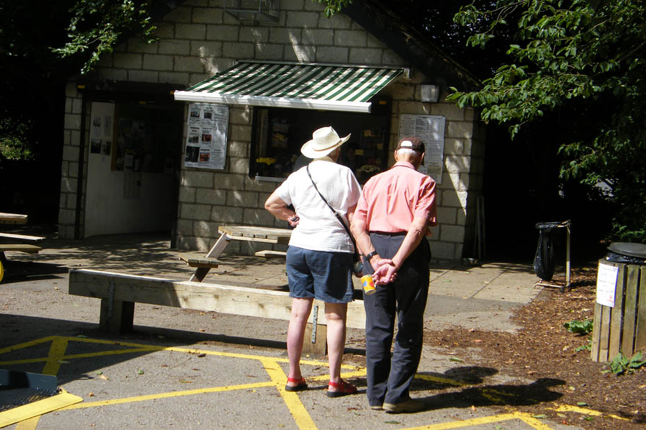
Should I?.....nah, leave it till I get back
Looking upriver to Ingleborough in the rather flat light
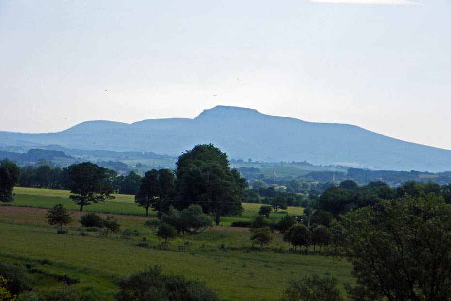
Ingleborough silhouette
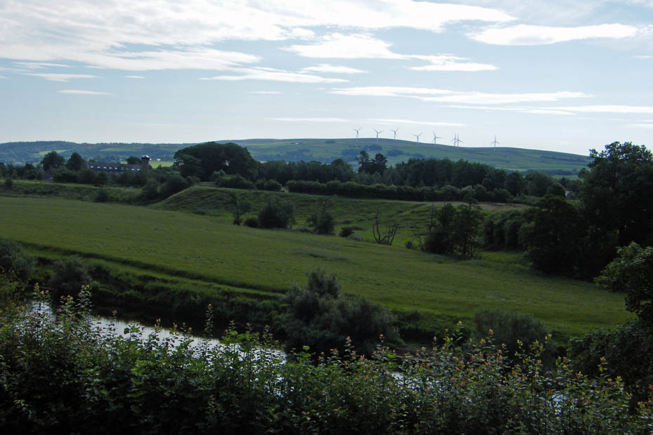
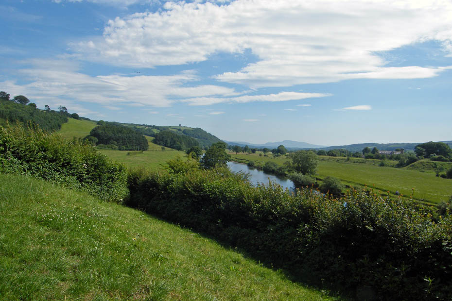
Across to Caton Moor
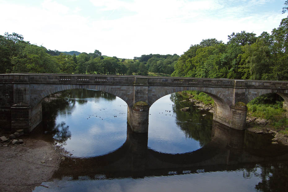
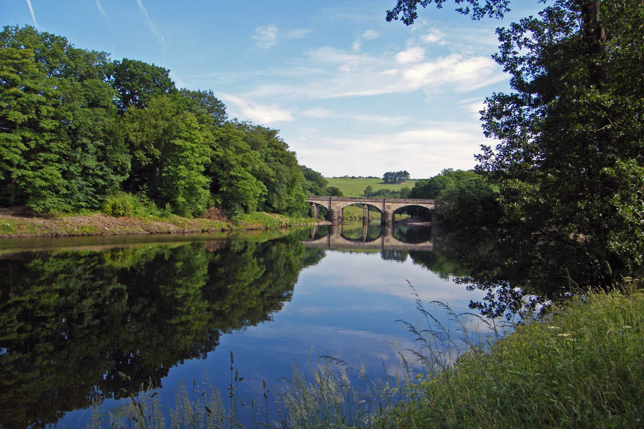
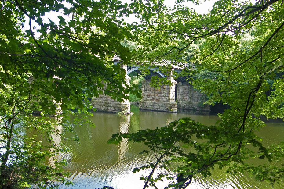
From the east railway brige looking to the road bridge
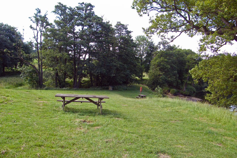
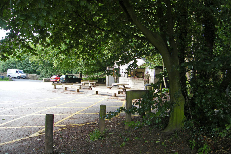
The picnic site. Later this will be full of youngsters enjoying the river. However over the years there have been a number of tragic drownings.
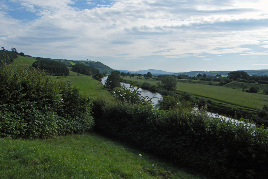
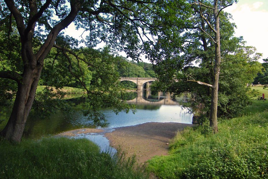
I am going to follow the bend in the river which makes a full "U" turn....hence the name
Looking towards the bend here but it's hard to pick out.
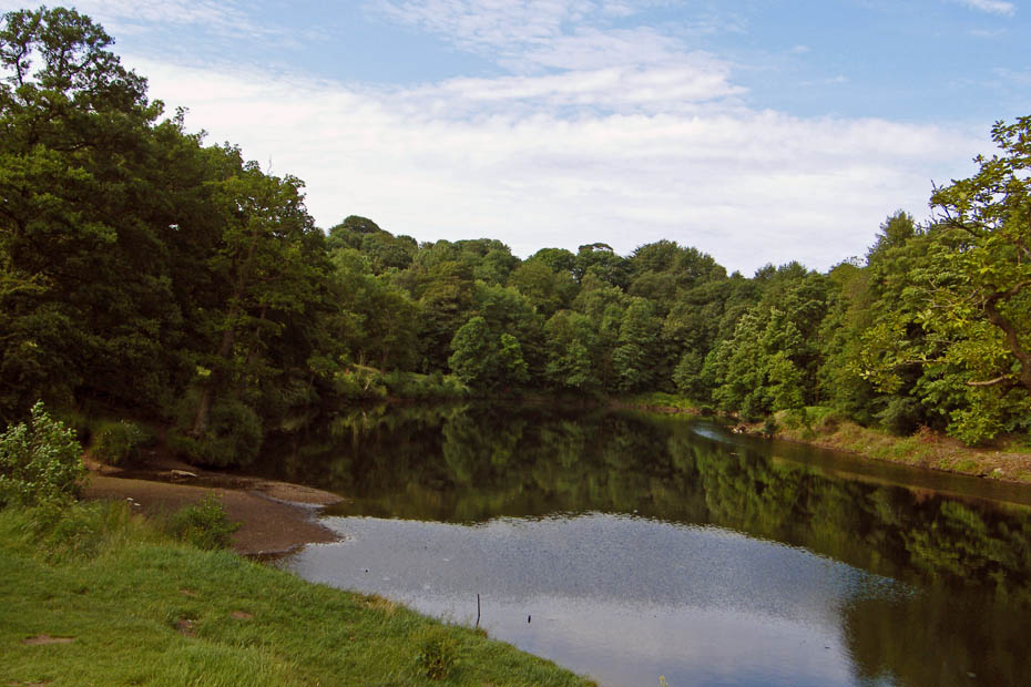
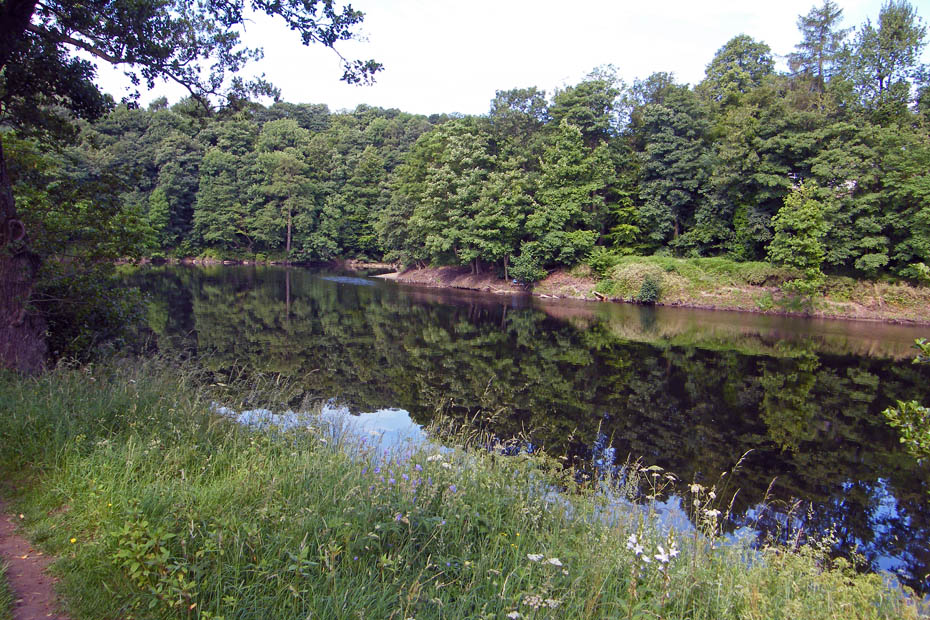
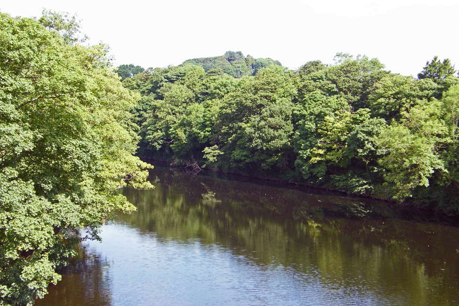
These views never fail to amaze me
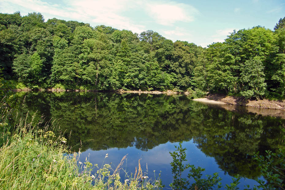
The bend is becoming apparent here. The little spit of shingle being the point
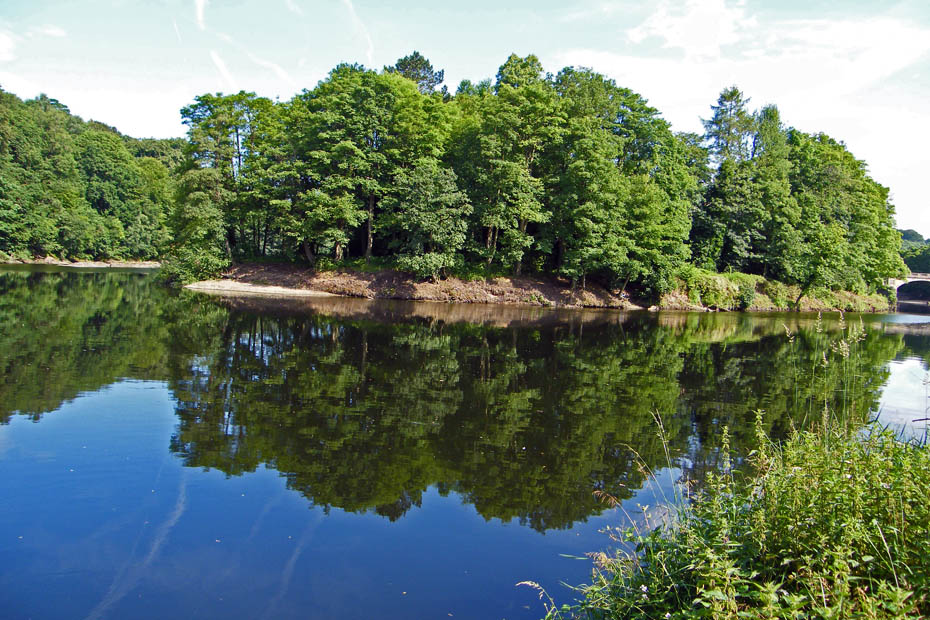
This shows it better.
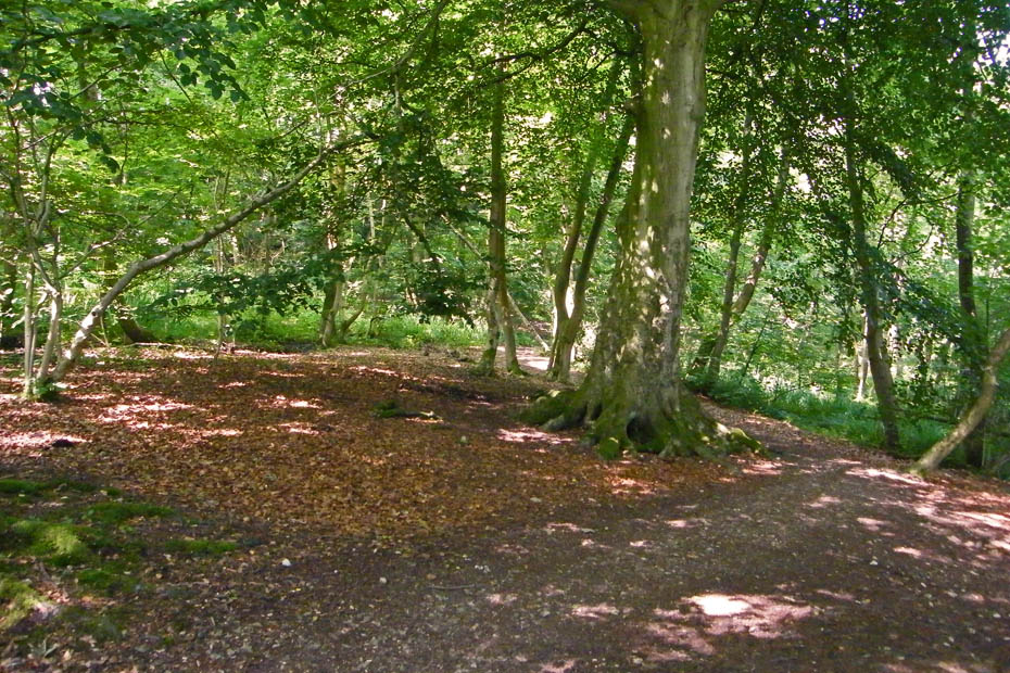
The path now leaves the river to rise above it for a while
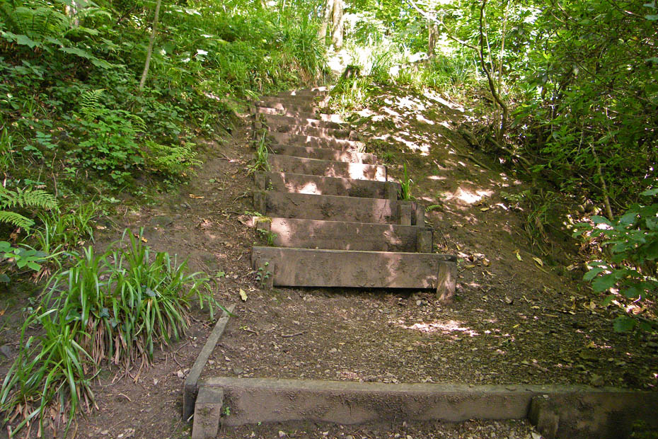
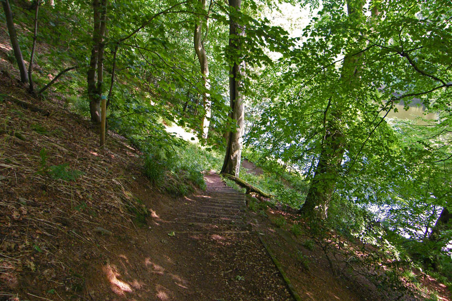
A stepped path helps climb up.
I left the riverside path about here for a short walk to find Gray's Seat
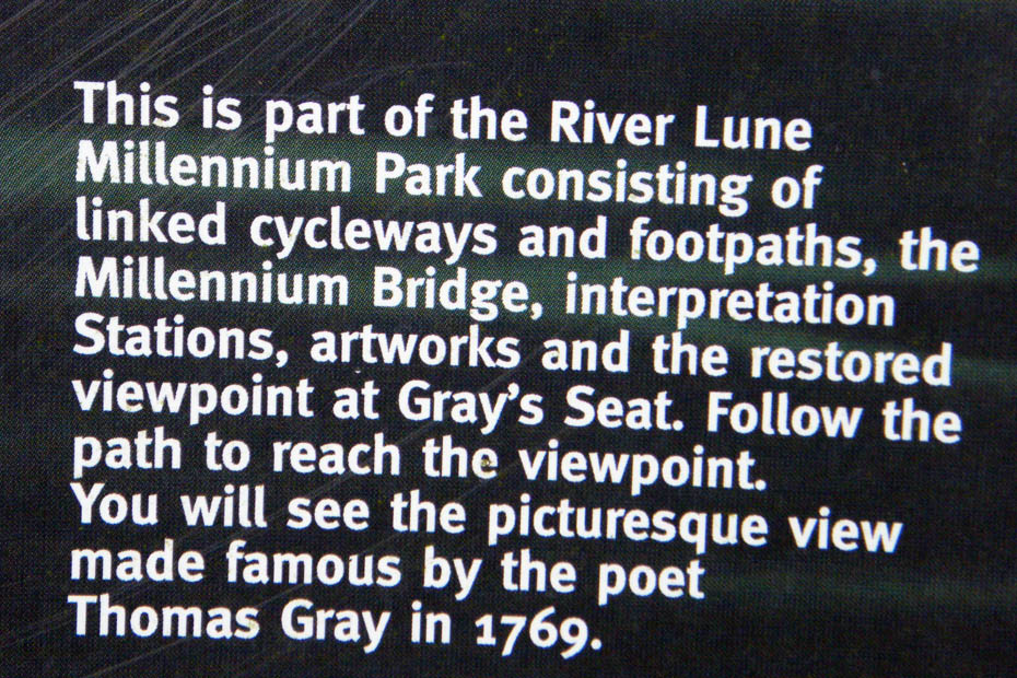
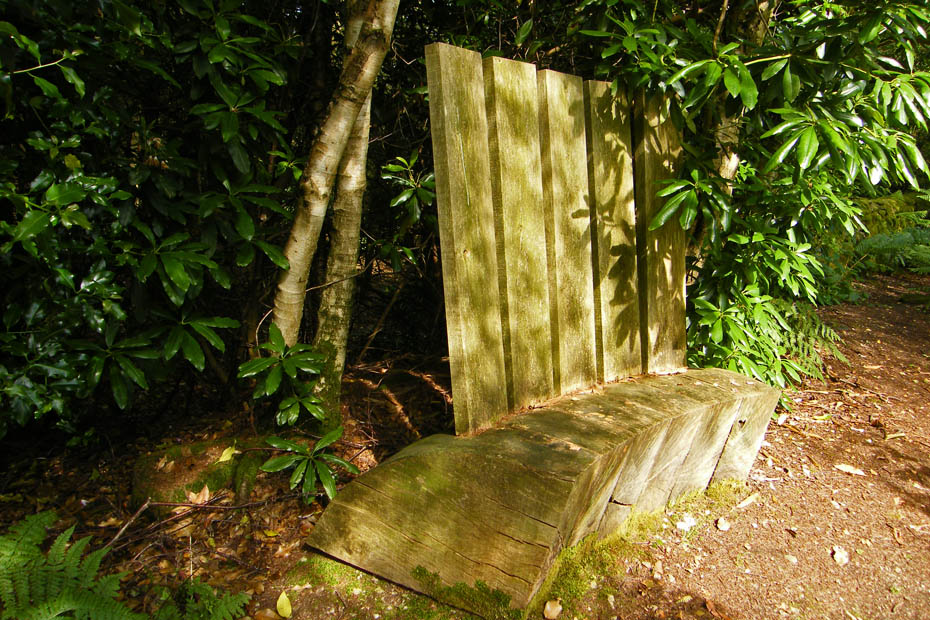
Think this may be it! Below is part of a letter that Gray sent to a friend in 1769
'This scene opens just three miles from Lancaster, on what is called the Queen's Road ... Here Ingleborough behind a variety of lesser mountains, makes the background of the prospect; on each hand of the middle distance, rise two sloping hills; the left clothed with thick woods, the right with variegated rock and herbage: between them in the richest of vallies, the Lune serpentizes for many a mile, and comes forth ample and clear, through a well wooded and richly pastured foreground. Every feature which constitutes a perfect landscape of the extensive sort, is here not only boldly marked, but also in its best position.
An easy walk up
With some Art-work
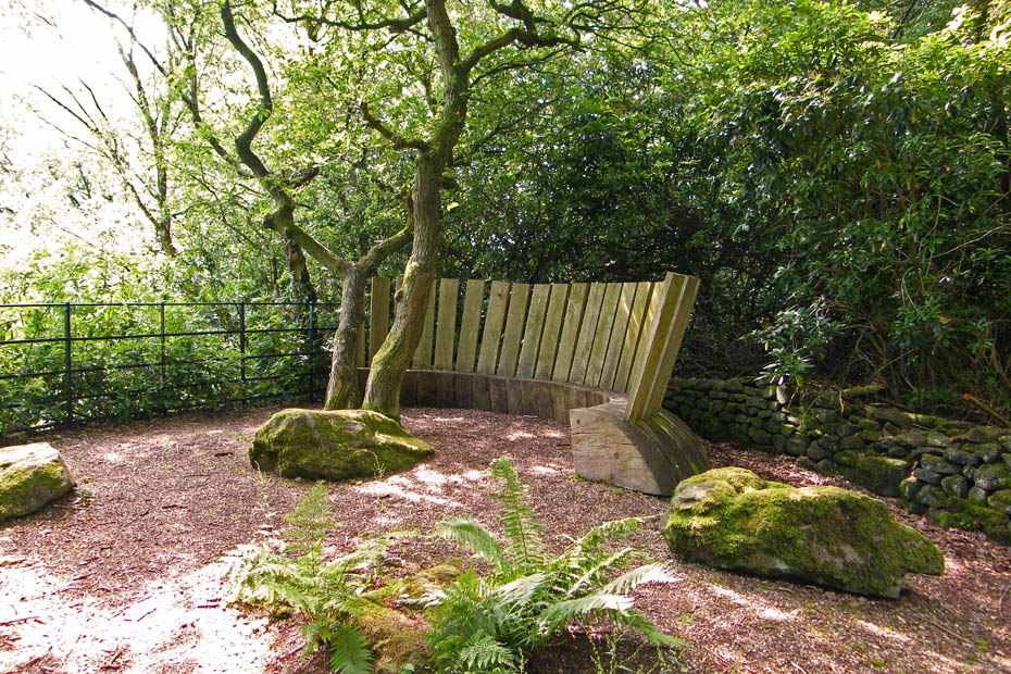
Before long the summit was reached...
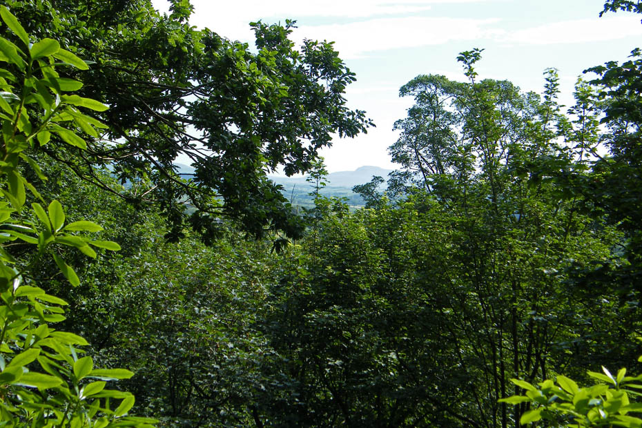
Oh dear!....methinks the trees have grown somewhat. Maybe try it again in winter.
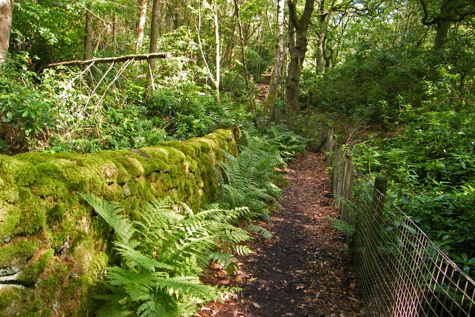
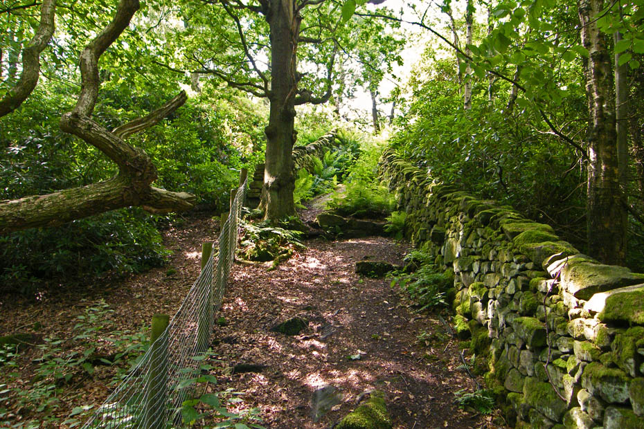
Actually the path itself was a pleasure to walk with moss covered walls and gorgeous ferns.
Back to where I left the riverside path and now descending towards the river
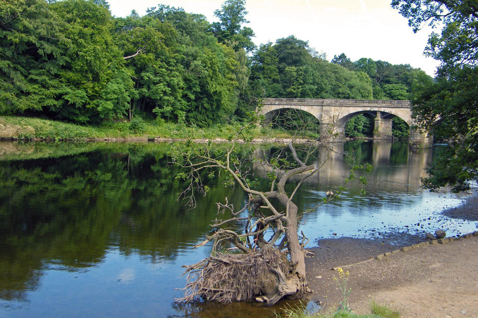
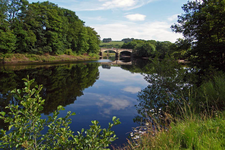
To catch a view of the western rail bridge. Just past here I went off path to climb banking and get onto the bridge.
Back to the car park
And time for a bacon butty and mug of tea
Next Walk: 5th July 2009 - Yorkshire Dales (W) - Smearsett & Pot Scar
Last Walk: 29th June 2009 - Local - A section of the Lancashire Coastal Way
We hope you have enjoyed viewing this walk. If you have any comments please sign our Guestbook or E_Mail us.
