| Area: | Lake District | Ascent: | 790 feet |
| Walk No: | 295 | Time: | 3hours 15minutes |
| Date: | 22nd August 2009 | Parking: | Near Naddle Bridge. GR: NY302239 |
| Distance: | 5.00 miles | Weather: | Fine with plenty of sun |
| Route: | Car - Goosewell Farm - Castlerigg Stone Circle - Nest Brow (A591) - Sykes - St John in the Vale Church - Low Rigg - Tewet Tarn - Car |
For those of you that are thinking of going onto the hills I would strongly recommend that you read the advice given by the Mountain Rescue organisation of England and Wales. To read this advice, which will open in a new page please click HERE. If you would like to make a donation to the Mountain Rescue organisation which is purely voluntary please click HERE. Please make the time to read the advice page.
With the weatherman promising a fine day we headed north up the M6 today to park up near Naddle Bridge. The walk is very straightforward on good paths and tracks all well waymarked. Although we have been up High Rigg a number of times we had never been on the smaller Low Rigg.
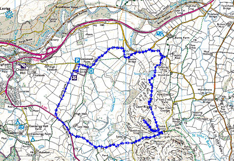
Route
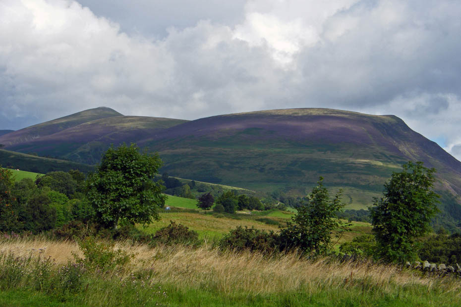
We parked the car near Naddle Bridge with the intention of taking the field path to Goosewell Farm. With the grass streaming with water we decided on the road instead with views of Lonscale Fell and Little Man.
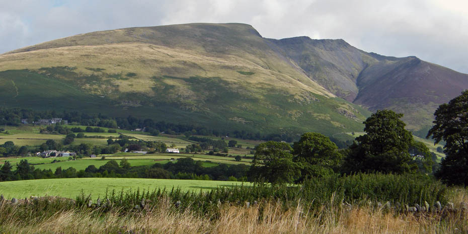
Blease Fell and the Blencathra
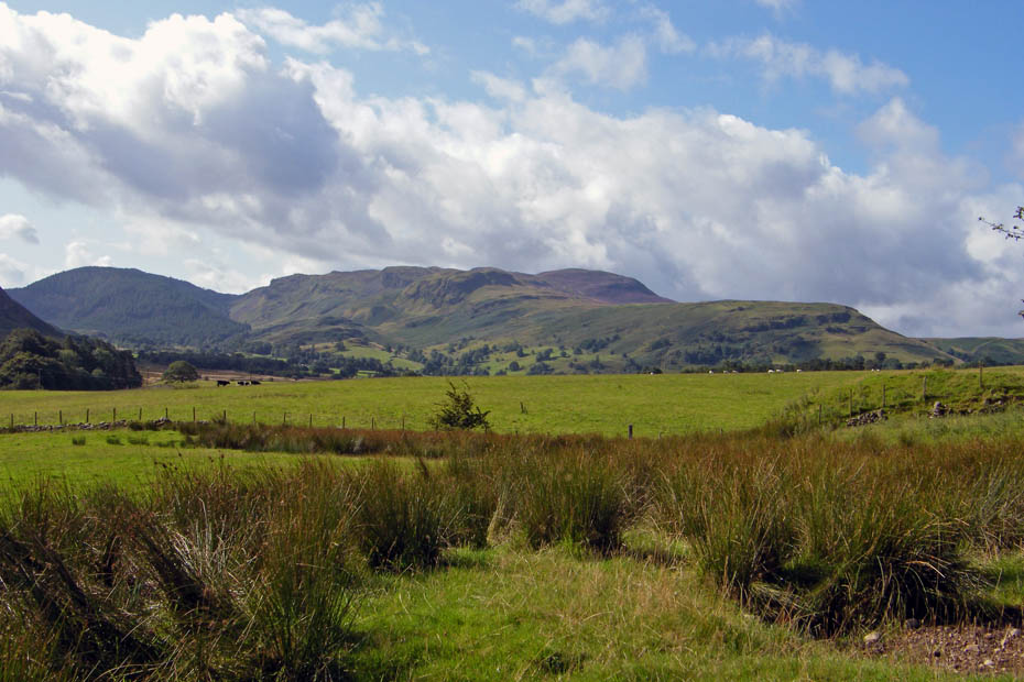
Dodd Crag, Goat Crag & Bleaberry Fell
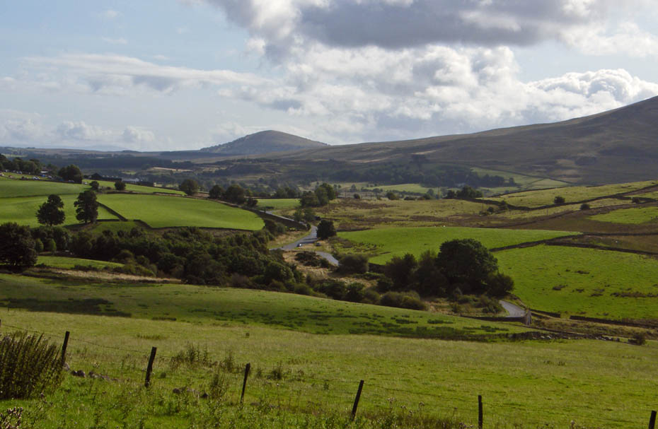 .
.
A look down to the car with Great Mell Fell in the distance
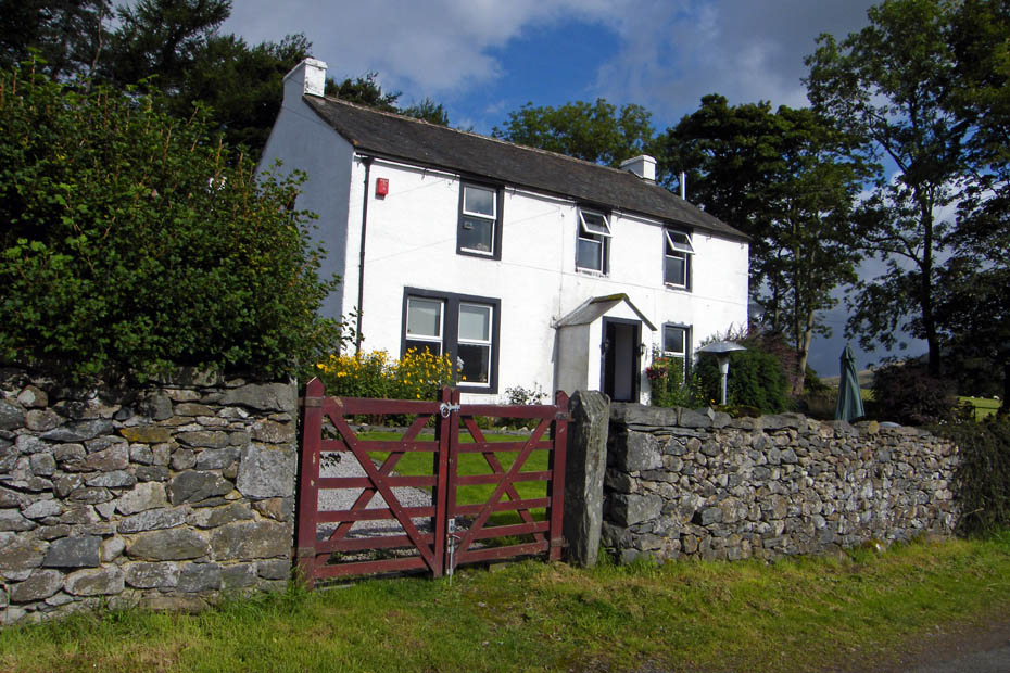
Goosewell Farm which is also hame to the Keswick Climbing Wall
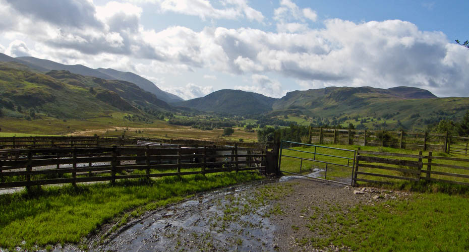
The view from the farm unfortunately into the sun
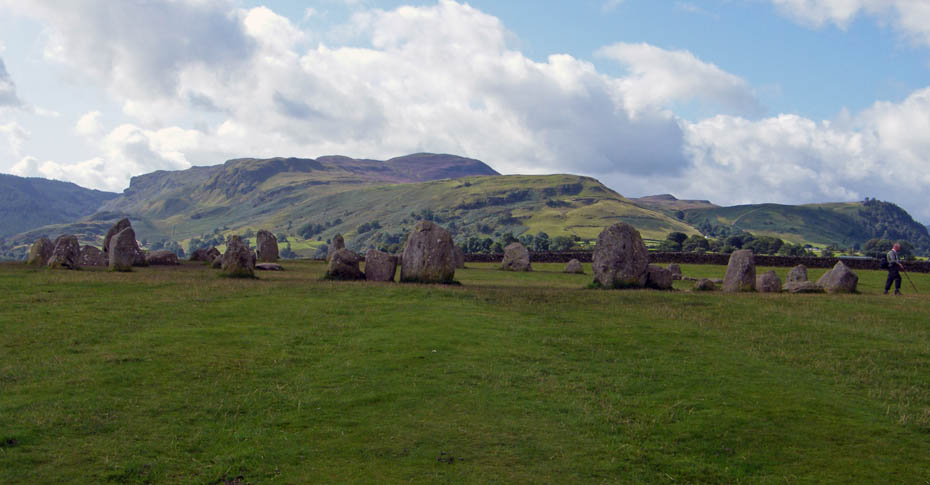
To those familar with the area it was pretty obvious where we were headed, The Castlerigg Stone Circle is thought to be around 3,000 years old and as the most fantastic views.
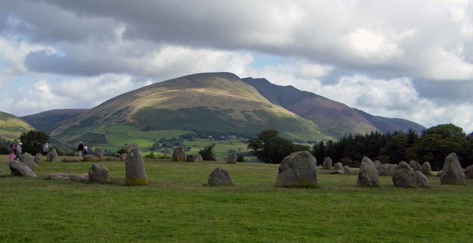
This is probably the best view towards Blencathra
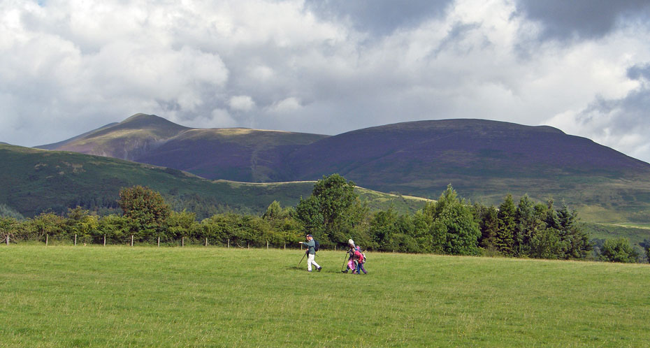
A family on holiday from Suffolk stride out on there way to Walla Crag.
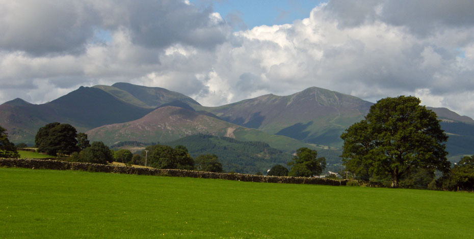
The North Western Fells from Castle Lane
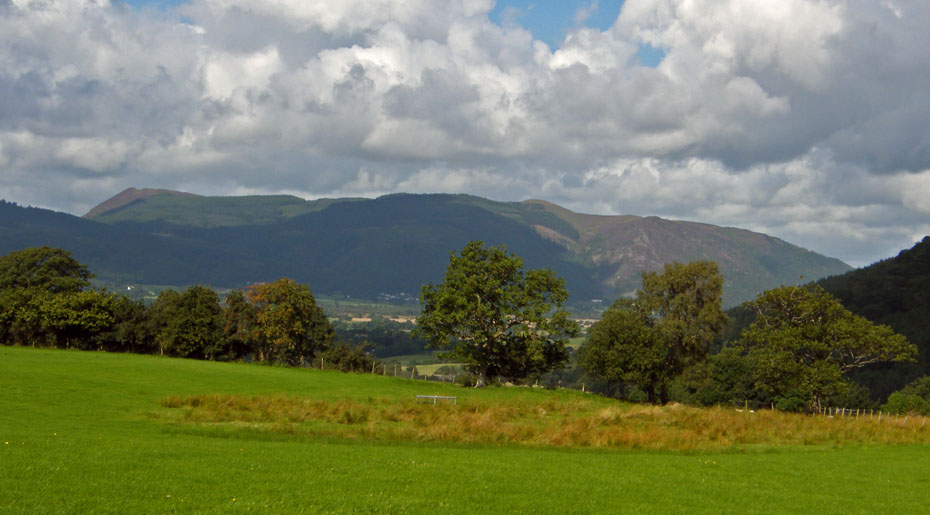
The Whinlatter Fells from Castle Lane. Spot the "Bishop of Barf"
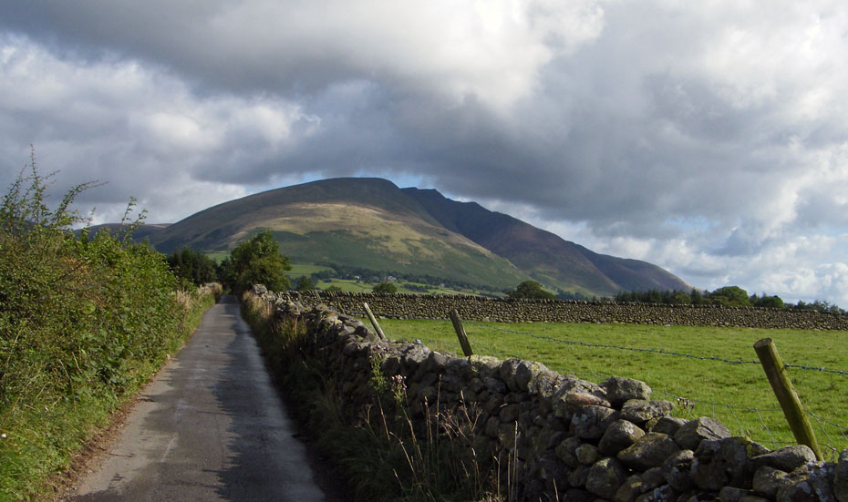
A look back as we walk down Castle Lane to the A591 which we followed down short distance before tracking a path at Nest Brow
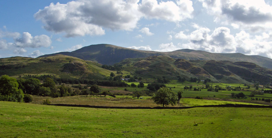
Heading over towards High Rigg with Clough Head behind. I was expecting this path to be wet and wasn't dissapointed.
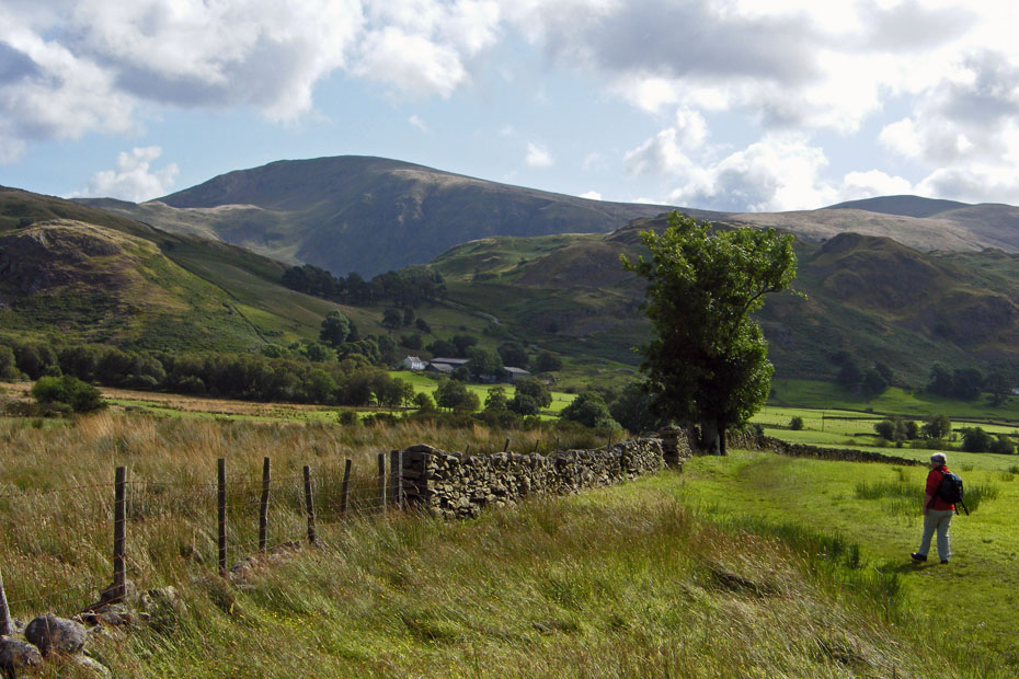
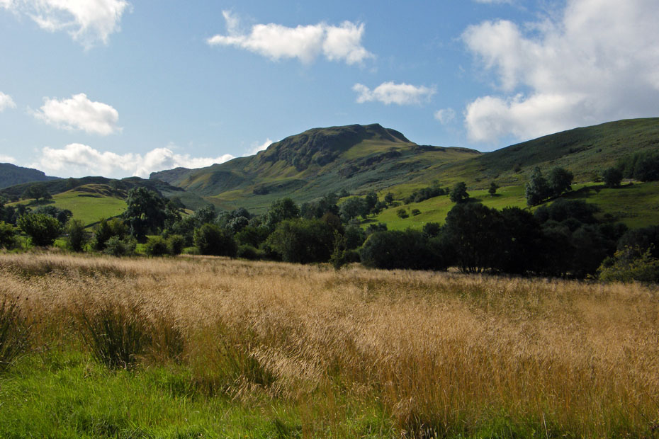
Looking along Shoulthwaite
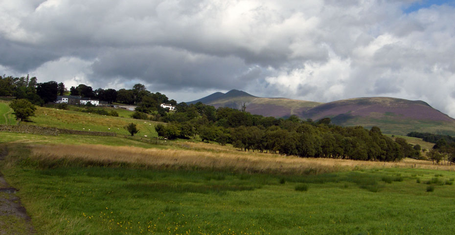
A look back to Low Nest & High Nest
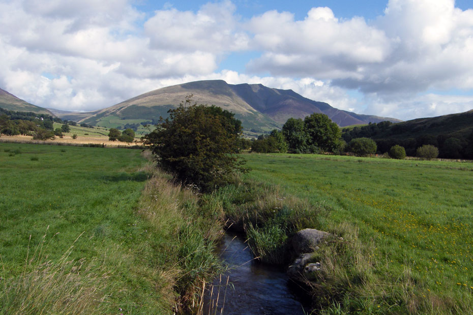
Crossing one of the feeders into Naddle Beck
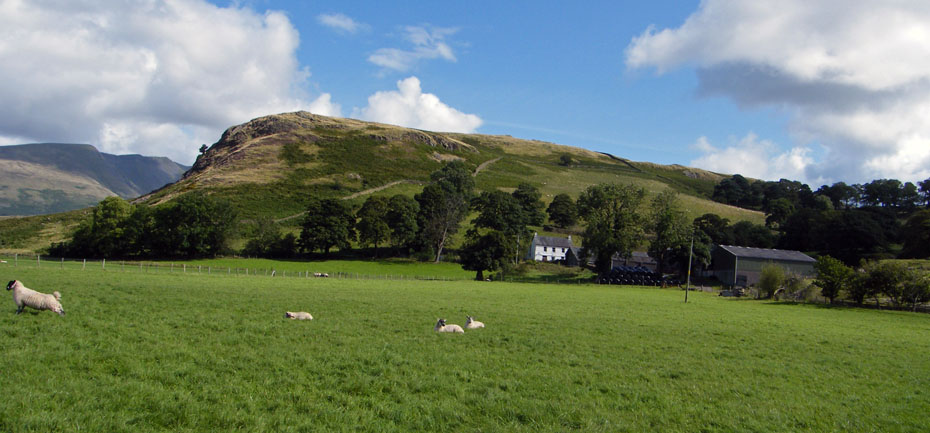
Approaching Sykes with Low Rigg behind.
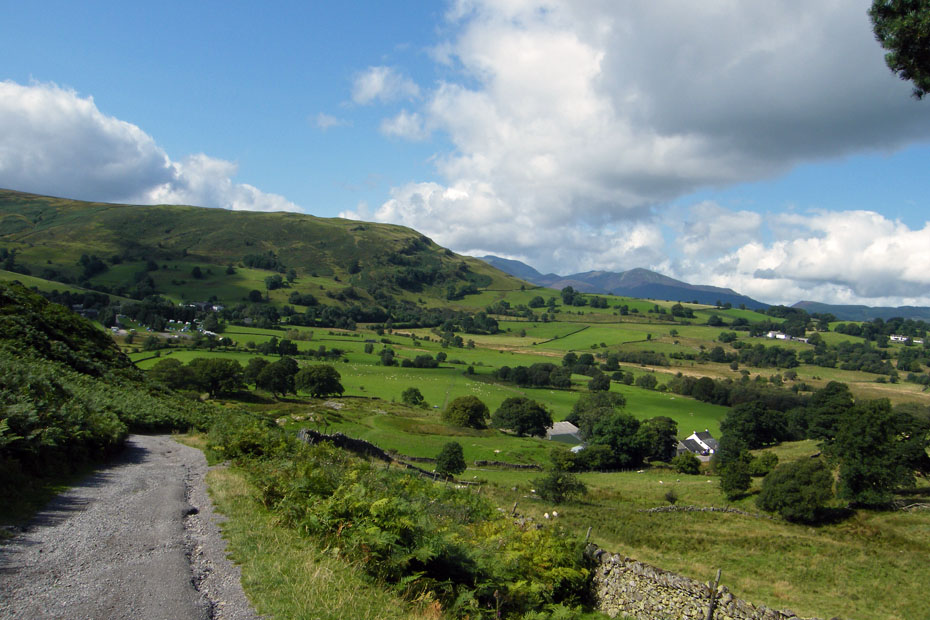
Looking down on Sykes
A short break on a memorial seat
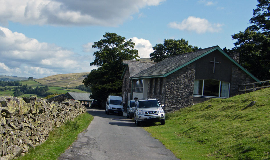
The Outdoor Activities centre
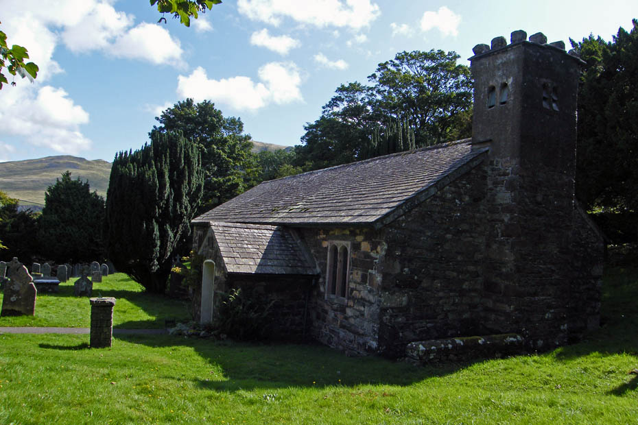
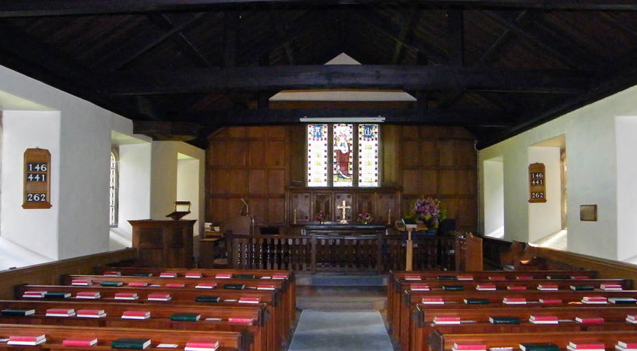
St John's in the Vale church
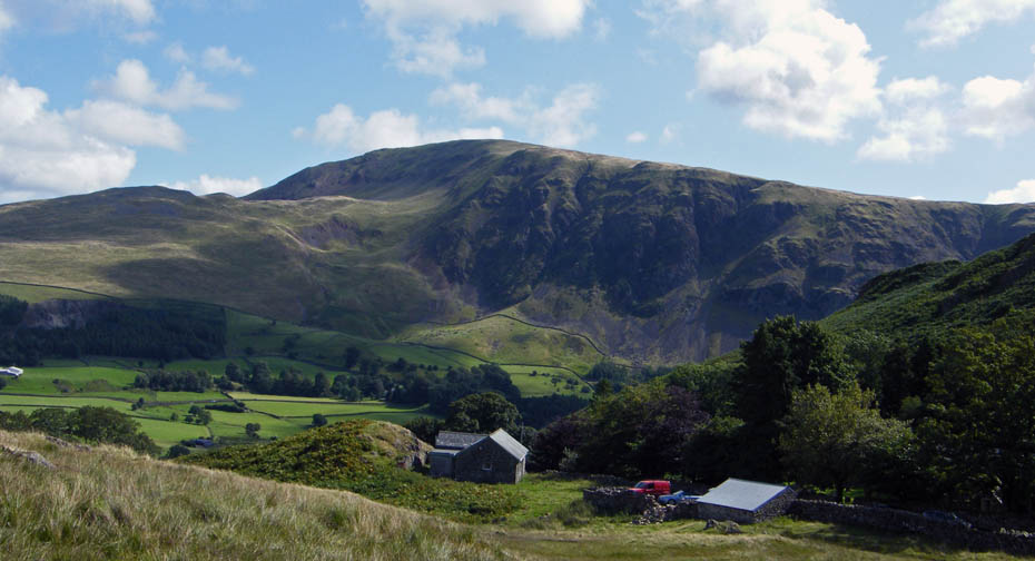
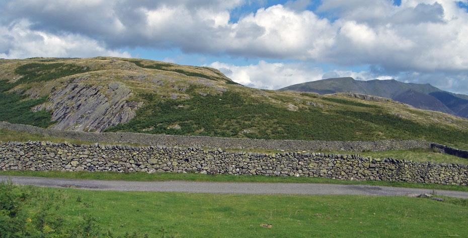
Wanthwaite Crags and Clough Head as we make our way up Low Rigg
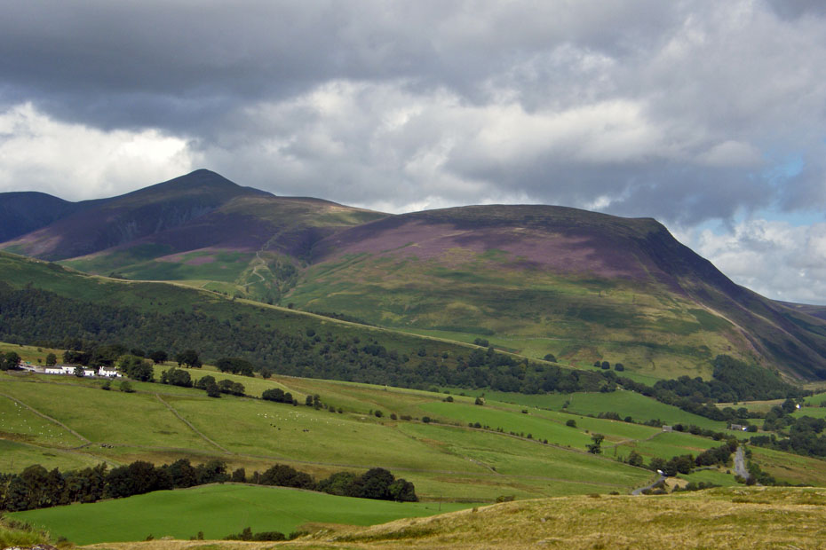
The views from Low Rigg
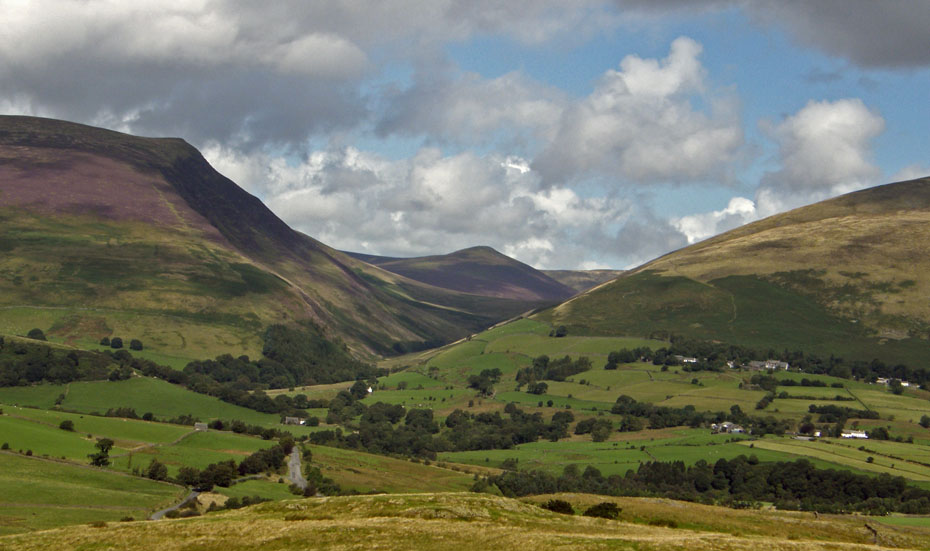
Looking up the Glenderaterra valley to Great Calva
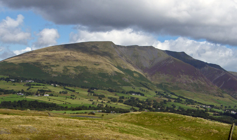
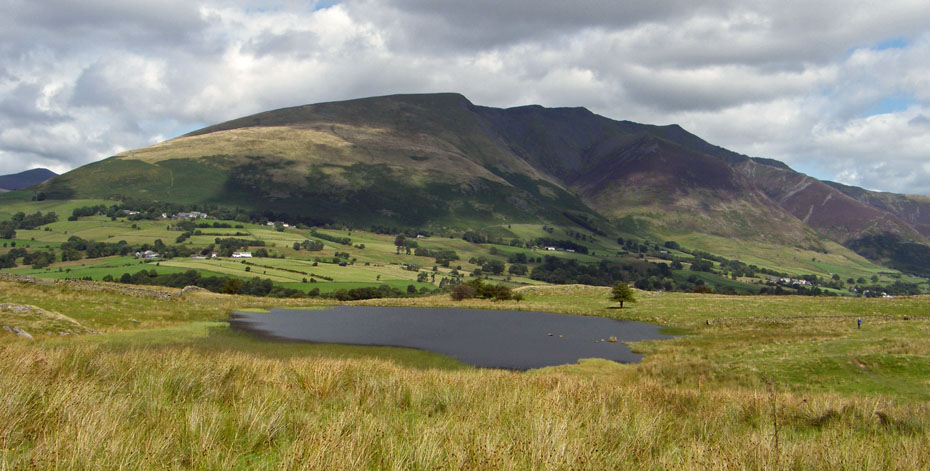
Blencathra ridges with Tewet Tarn and the lower summit in the foreground.
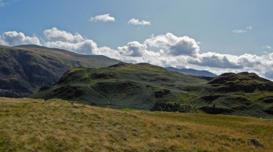
The other way to High Rigg and a distant Helvellyn
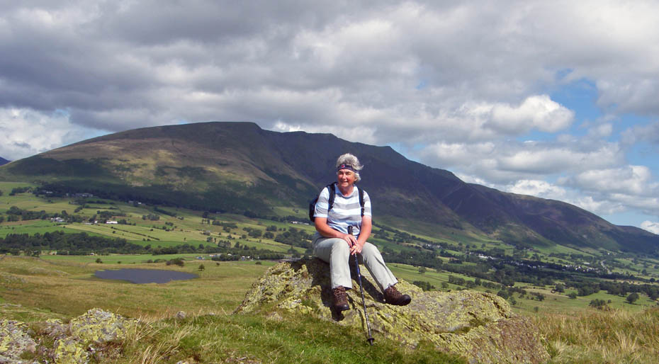
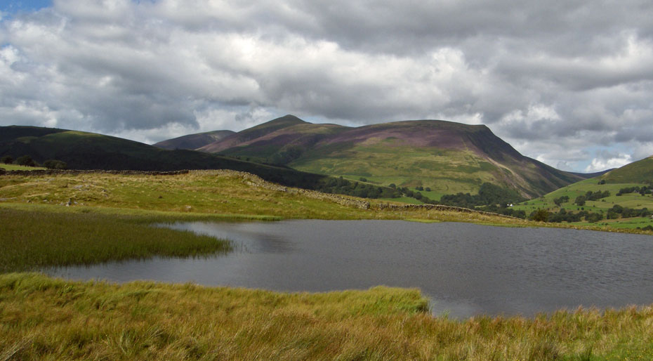
On the lower top with Tewet Tarn behind
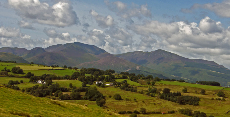
North Western Fells
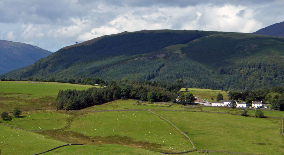
The wooded slopes of Latrigg with Goosewell Farm below and the Stone Circle far left
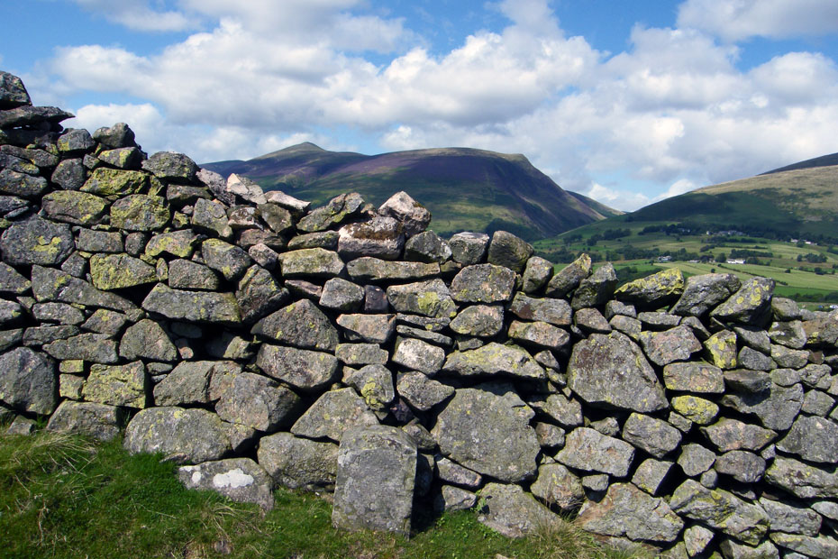
Now I have walked across here a number of times before but never noticed what appears to be a boundary stone before. Nothing on the OS Map
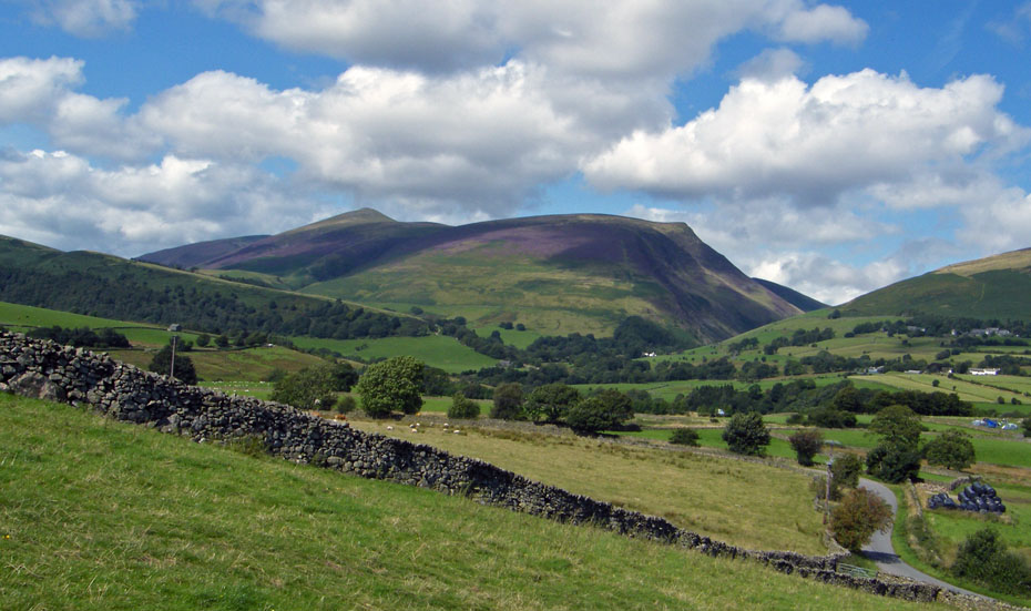
Almost down to the road
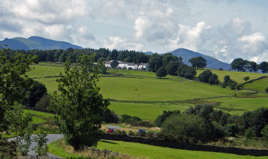
And finally.....back to the car.
Next Walk: 27th August 2009 - Lake District - A Rydal & Grasmere circular
Last Walk: 19th August 2009 - Lake District - A gloomy day on Whitbarrow
We hope you have enjoyed viewing this walk. If you have any comments please sign our Guestbook or E_Mail us.