
| Area: | Lake District | Ascent: | 800feet |
| Walk No: | 307 | Time: | 3hours |
| Date: | 1st October 2009 | Parking: | Roadside at Elterwater |
| Distance: | 5.00miles | Weather: | Fine & Sunny |
| Route: | Elterwater - Skelwith Bridge - Little Loughrigg - Loughrigg Tarn - Red Bank - Elterwater |
For those of you that are thinking of going onto the hills I would strongly recommend that you read the advice given by the Mountain Rescue organisation of England and Wales. To read this advice, which will open in a new page please click HERE. If you would like to make a donation to the Mountain Rescue organisation which is purely voluntary please click HERE. Please make the time to read the advice page.
We were late away as I had yet another appointment at the doctors for more blood tests and also my annual Flu jab. We arrived at Elterwater around 10:15 and guessing that the car park would already be full we parked on the roadside.
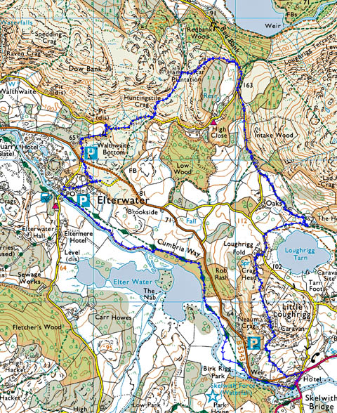
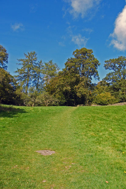
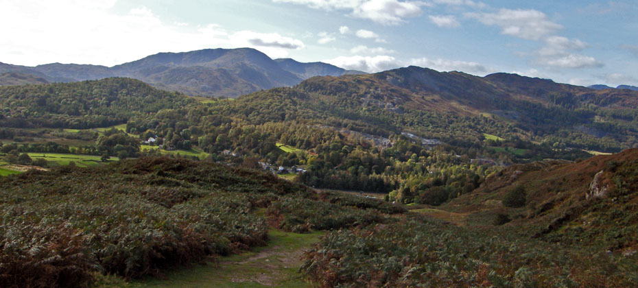
The days route.
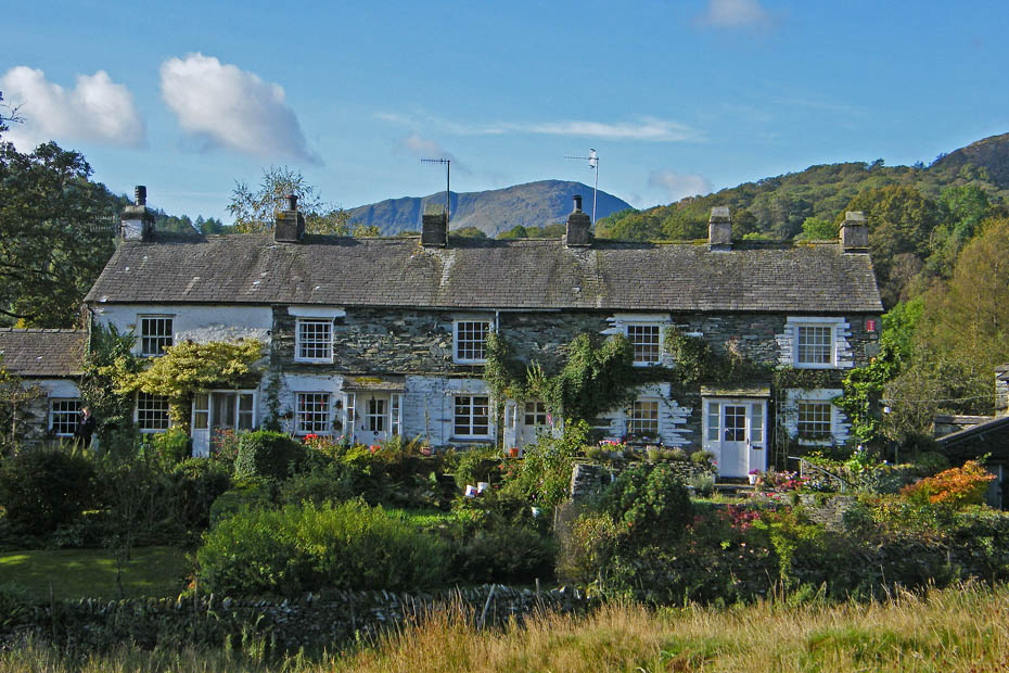
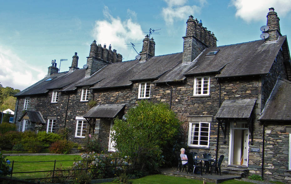
Elterwater cottages with Wetherlam behind.
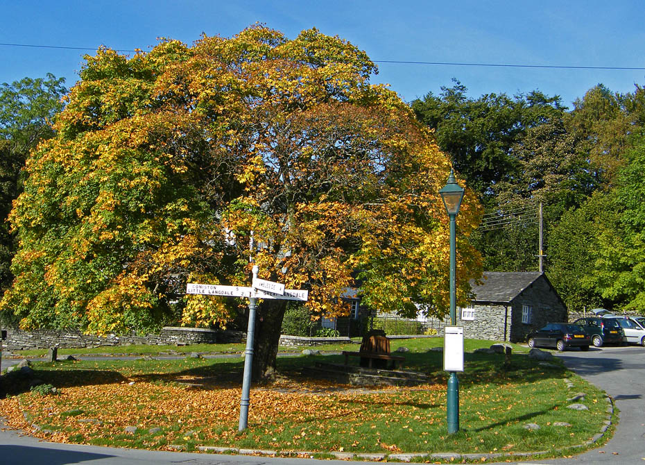
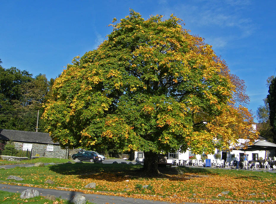
The Maple Tree is showing its autumnal colours
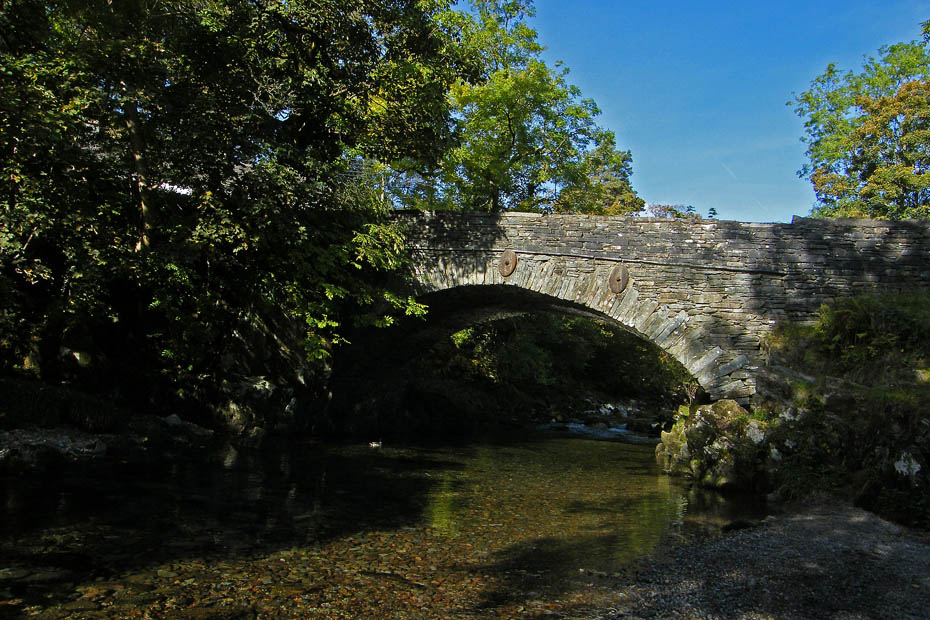
The bridge over Great Langdale beck.
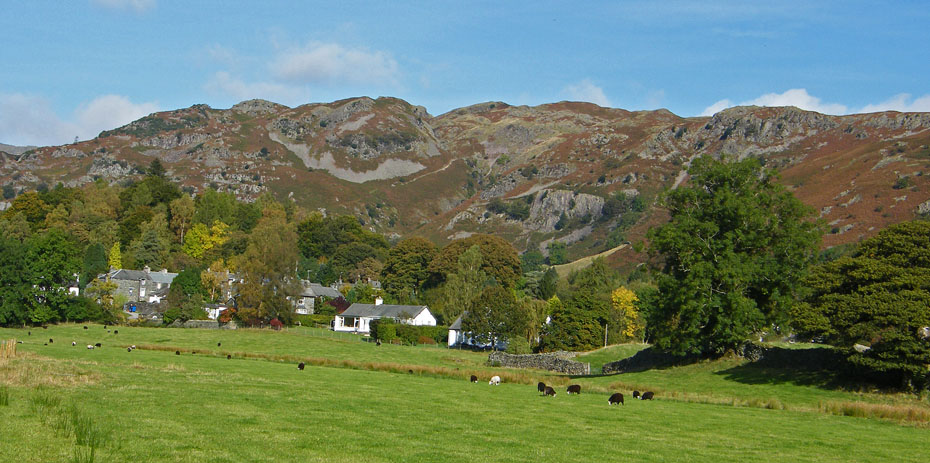
A look back to the village with Spedding Crag behind as we set off for Skelwith Bridge.
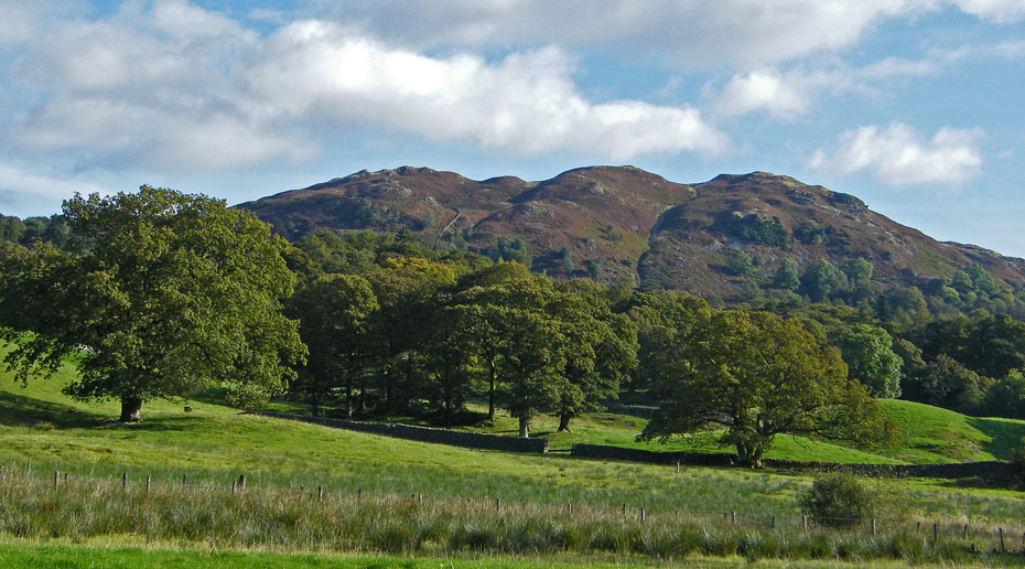
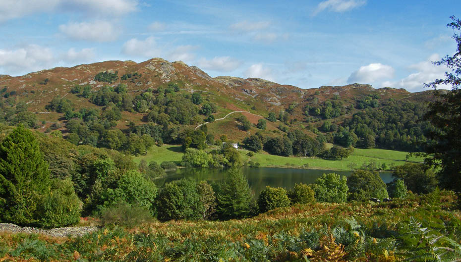
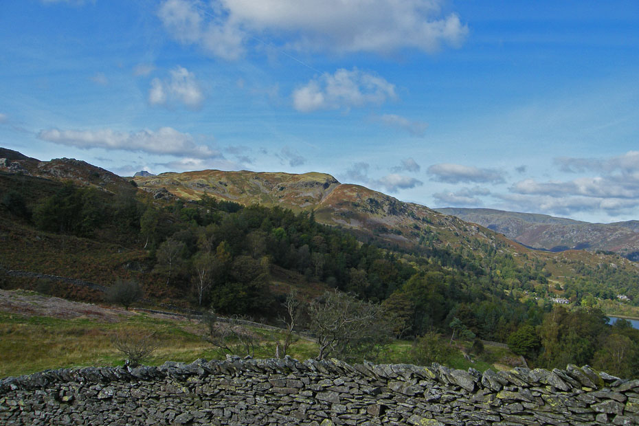
Loughrigg Fell
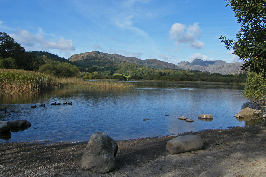
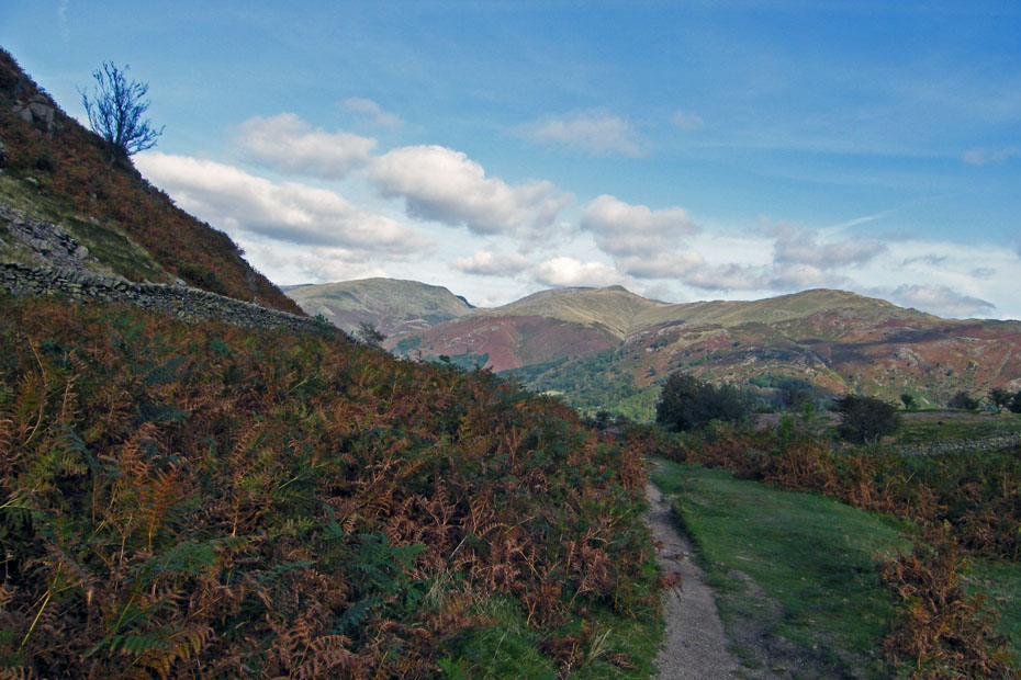
We were soon at Elter Water itself with magnificent views to Lingmoor and the Langdale Pikes.
Lingmoor
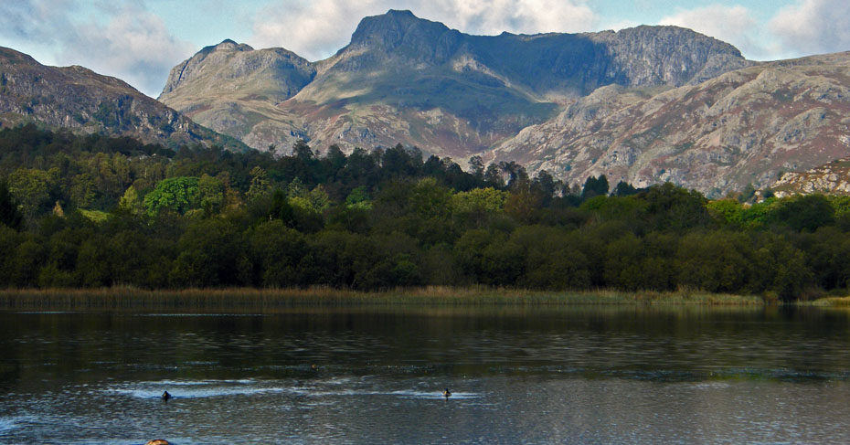
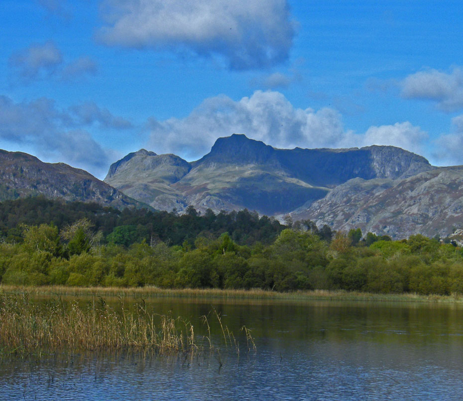
The Langdale Pikes
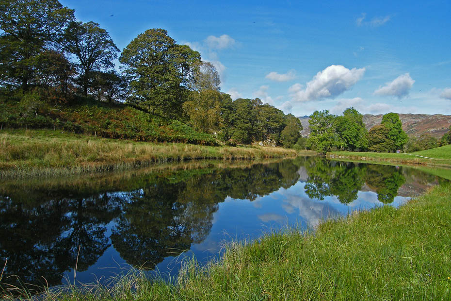
Wetherlam as we follow the River Brathay downstream
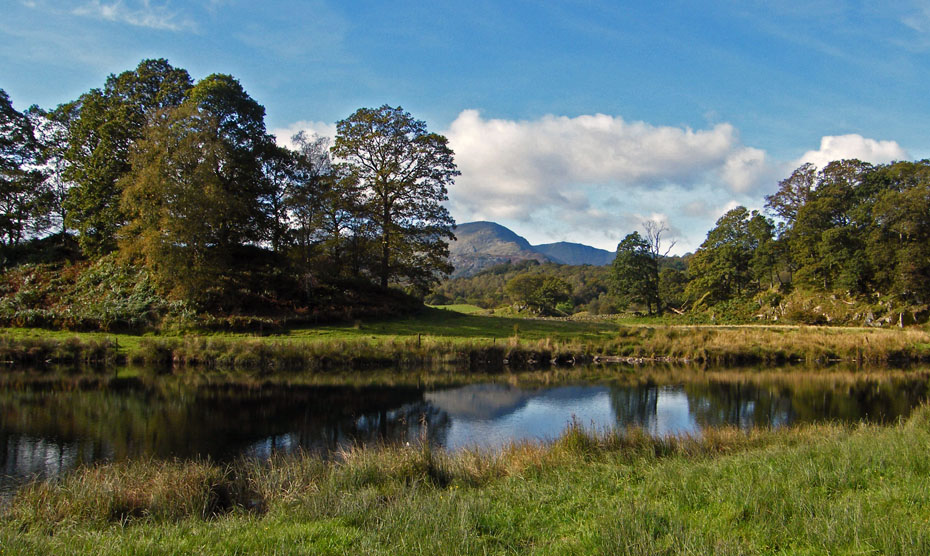
Just a short distance from the main path we caught these reflections
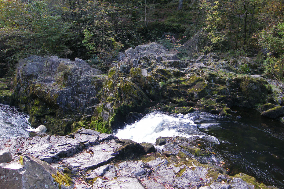
Soon we were at Skelwith Force. The new tablets make me prone to the odd dizzy spell so a trip down the slabs was not on today.
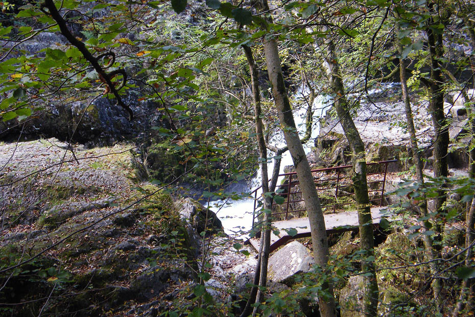
This is the best I could do, but there are pictures on the website from previous walks.
Skelwith Bridge cottages....most are now sadly holiday lets.
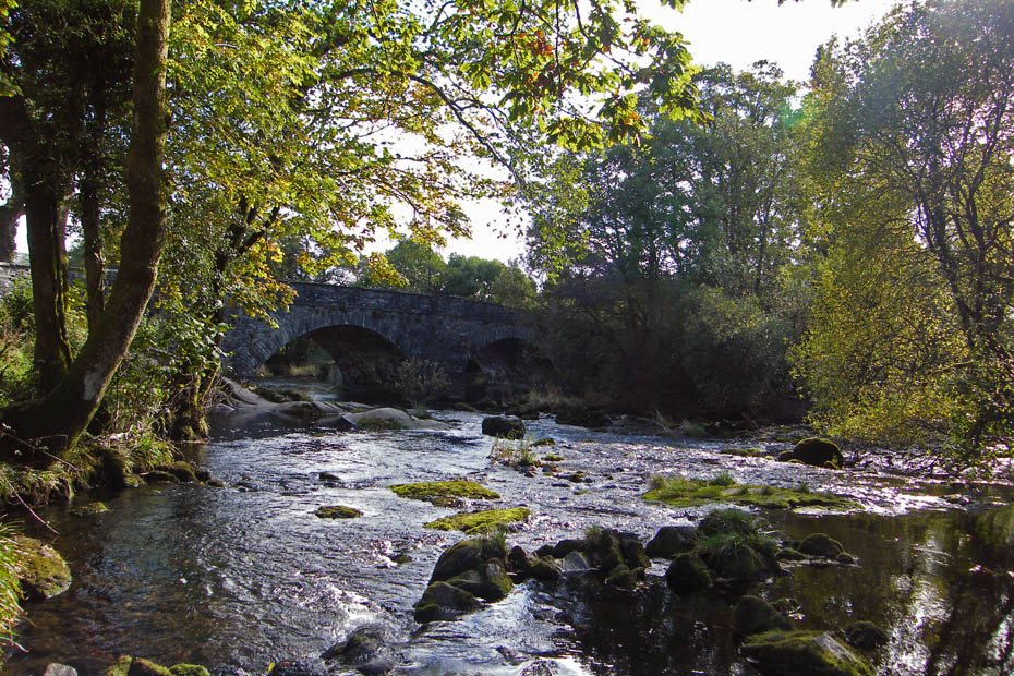
Skelwith Bridge
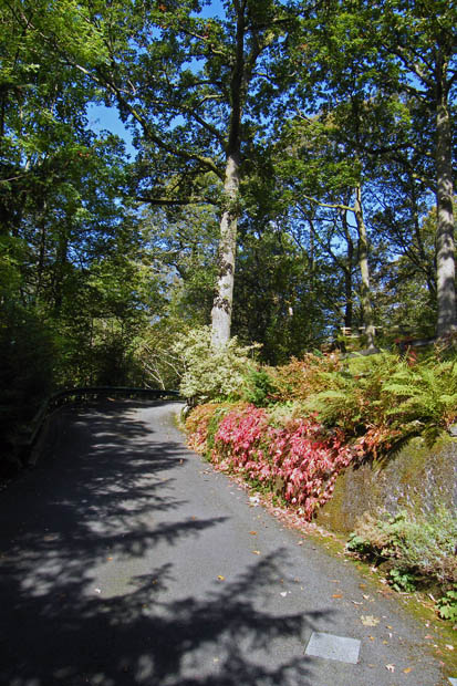
From Skelwith Bridge we walked back along the road for a very short distance before taking this path up to the Neaum Crag development.
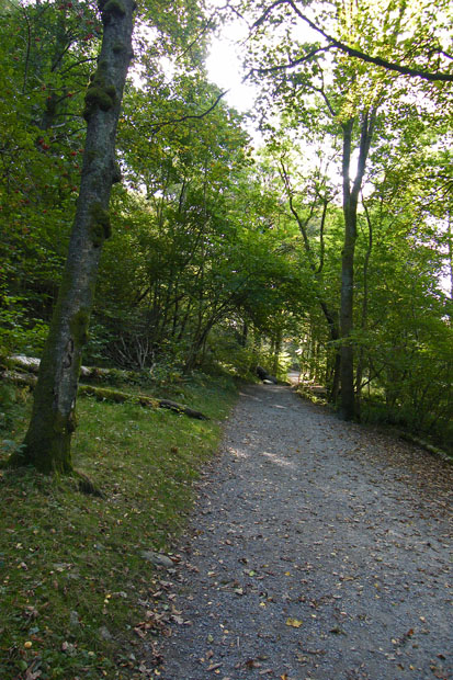
Walking through Neaum Crag
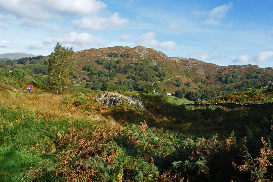
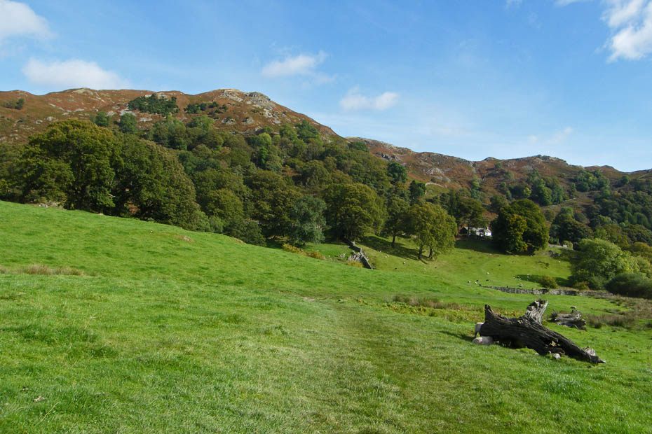
Loughrigg Fell from near Little Loughrigg
Descending to Crag Head
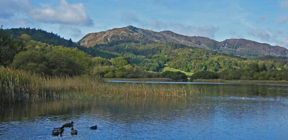
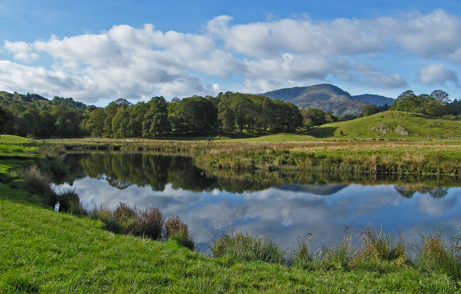
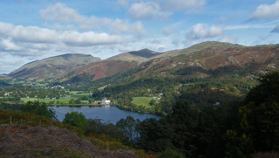
Loughrigg Fell across Loughrigg Tarn
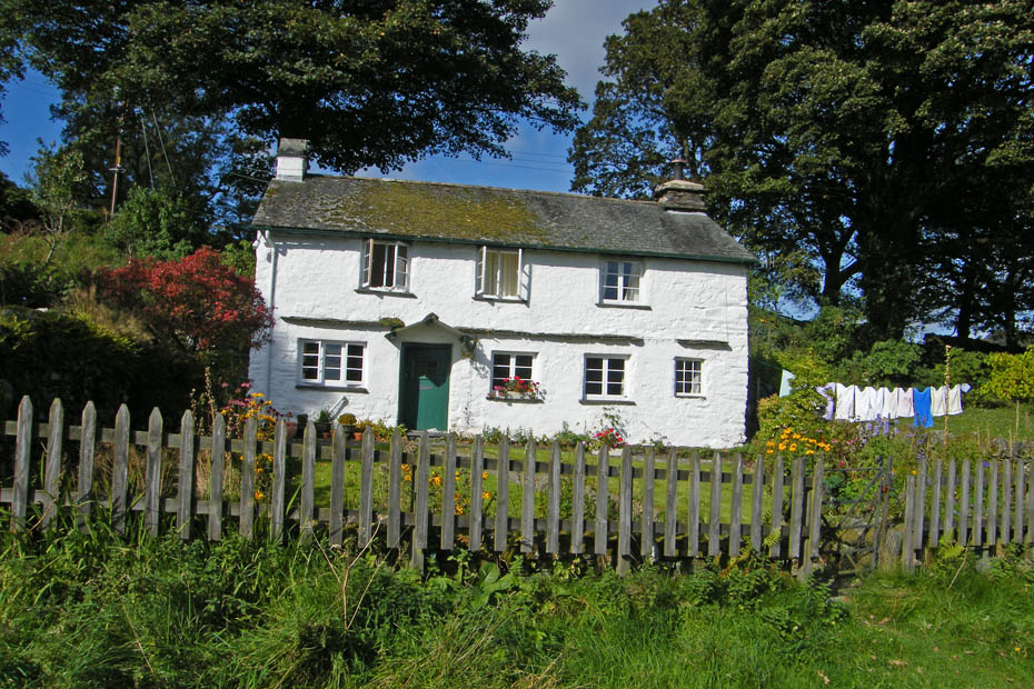
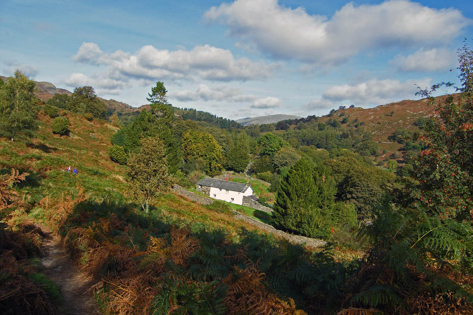
Loughrigg Fold
Here we are walking around the top of Loughrigg Tarn to pick up the lane at The How
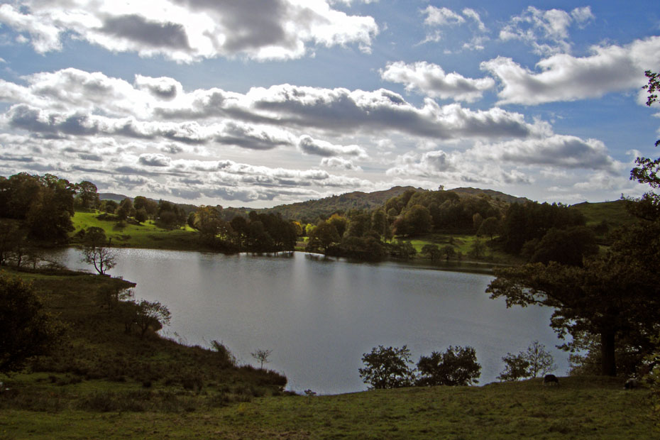
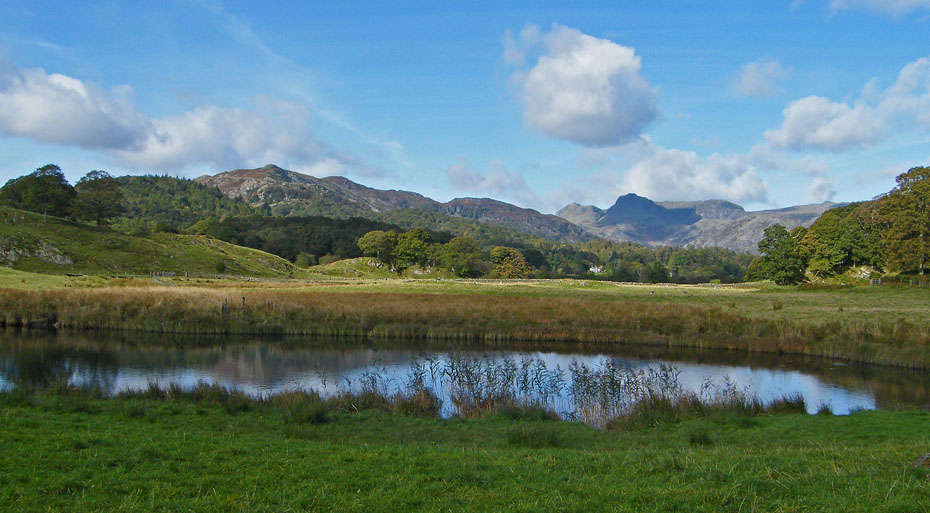
Taken into the sun, a not very good picture of Loughrigg Tarn with Little Loughrigg behind.

Wetherlam and Great Carrs behind Lingmoor as we walk to Red Bank
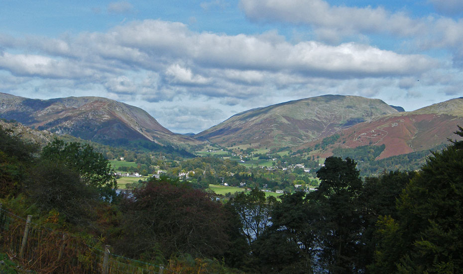
From the top of Red Bank we took a small unsigned path past Hammerscar Plantation towards Huntingstile Crag getting views into the vale of Grasmere as we gained height.
Seat Sandal, Great Rigg and Heron Pike dominate the skyline.
Silver How
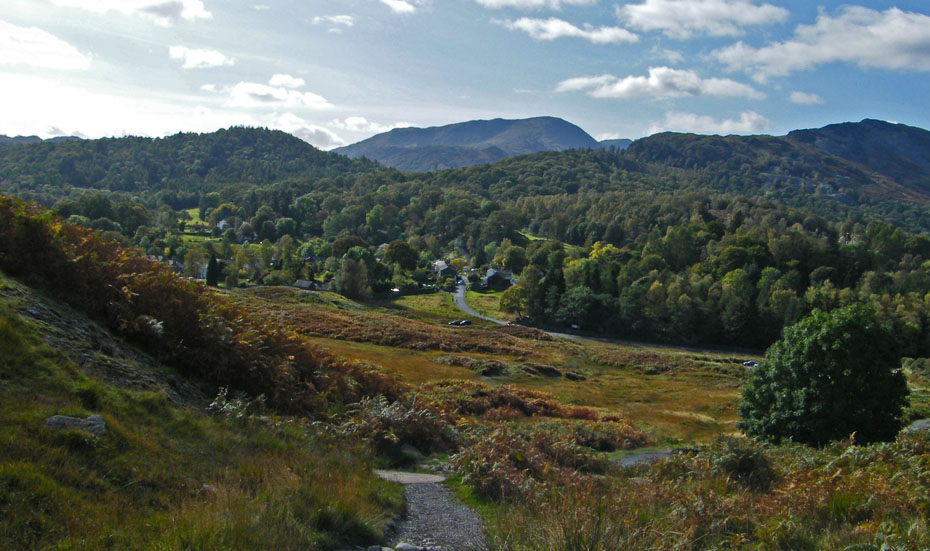
We have now arrived at the foot of Huntingstile Crag. The path ahead leads down to Grasmere. Our way however is behind us back to Elterwater.
Descending to Elterwater with the sun ahead.
Almost there!!
And finally.....back to car
Next Walk: 4th October 2009 - Lake District - Dales Way at Staveley
Last Walk: 27th September 2009 - Lake District - Hampsfell
We hope you have enjoyed viewing this walk. If you have any comments please sign our Guestbook or E_Mail us.
