
| Area: | South Cumbria | Ascent: | 280 feet |
| Walk No: | 326 | Time: | 1hour 40minutes |
| Date: | 6th December 2009 | Parking: | Sedgwick Bridge (SD 507868) |
| Distance: | 3.75 miles | Weather: | Overcast with a short spell of sun. Rain at finish. |
| Route: |
For those of you that are thinking of going onto the hills I would strongly recommend that you read the advice given by the Mountain Rescue organisation of England and Wales. To read this advice, which will open in a new page please click HERE. If you would like to make a donation to the Mountain Rescue organisation which is purely voluntary please click HERE. Please make the time to read the advice page.
Our intended walk today had been the Kendal Scars but we arrived at the car park in the middle of an heavy shower. With the forecast saying it would get brighter but the only change was from rain to hail and back to rain. Knowing that any chance of pictures would be nil we decided to make our way back to Silverdale and see if the weather improved on the way. However by the time we got to the Brettargh roundabout it had stopped raining so we turned off there towards Sedgwick to do this short walk. It did stay fine for us until about 10 minutes from the end and for a short while we even had some blue in the sky.
Route
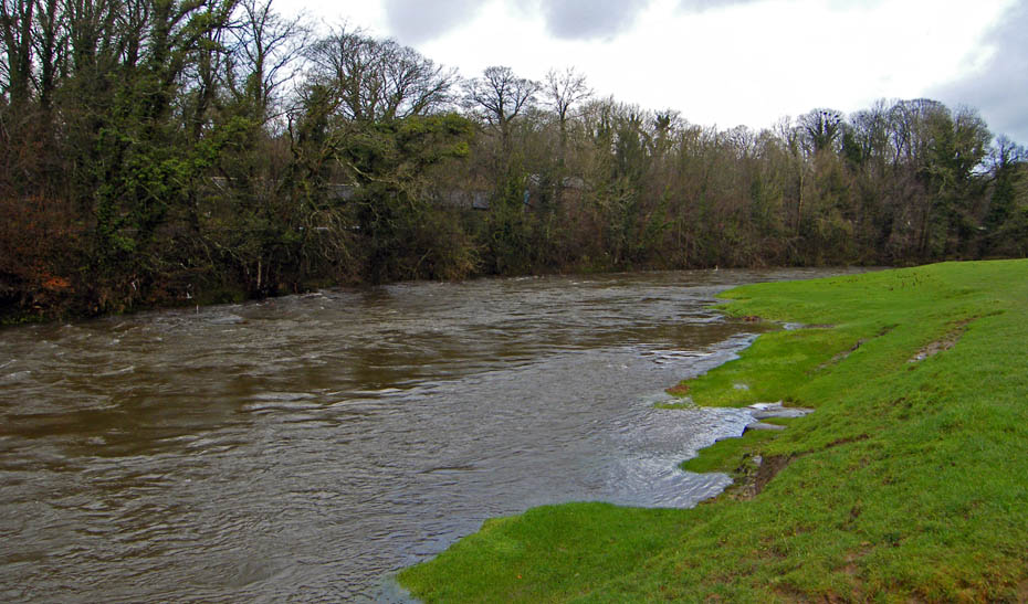
The River Kent from where we parked the car,
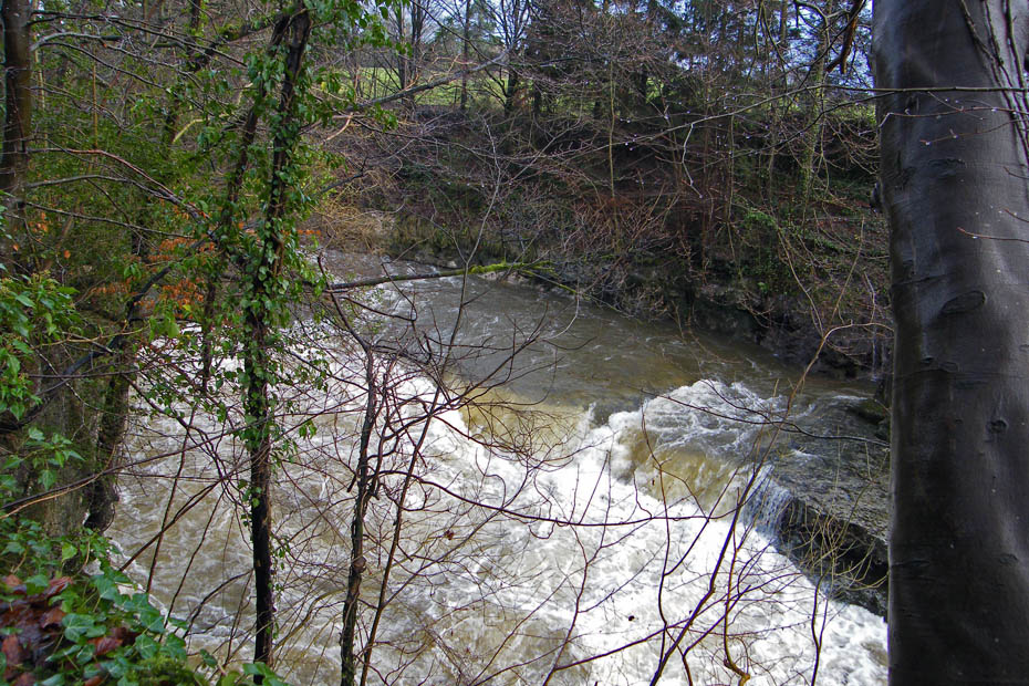
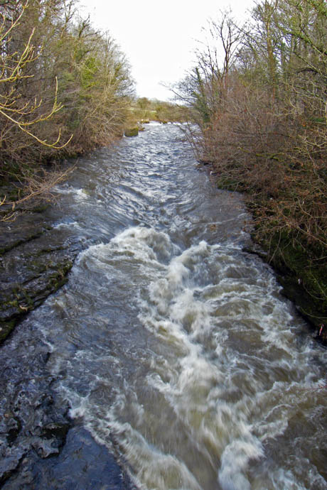
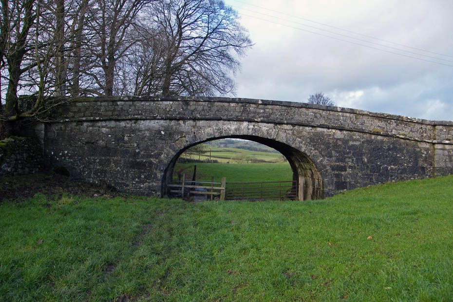
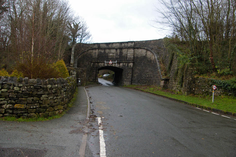
Crossing the Sedgwick Bridge. The river is fast flowing and still well above normal but thankfully within it's banks.
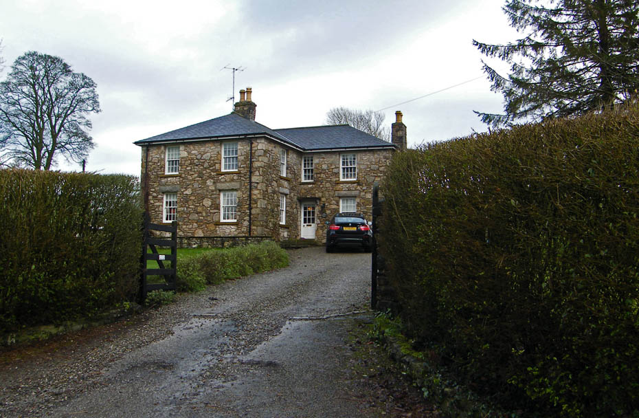
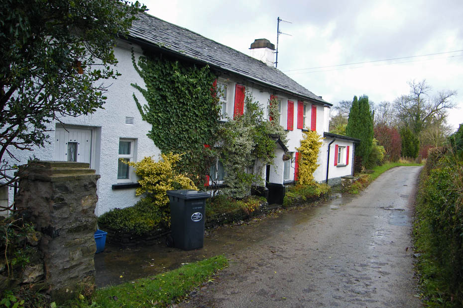
We walked up the road towards Sedgwick for a short while before taking a lane to the left past this fine looking building.
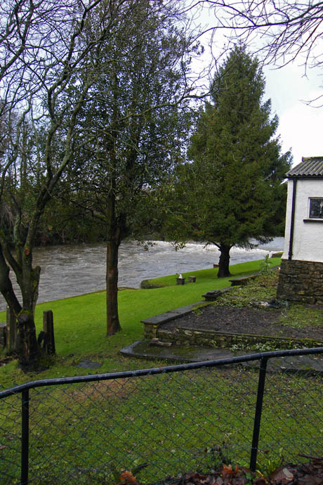
Walking along the lane we were wondering how these riverside buildings had fared in the floods.
We couldn't see anything to give the impression they had flooded.....I hope we were right.
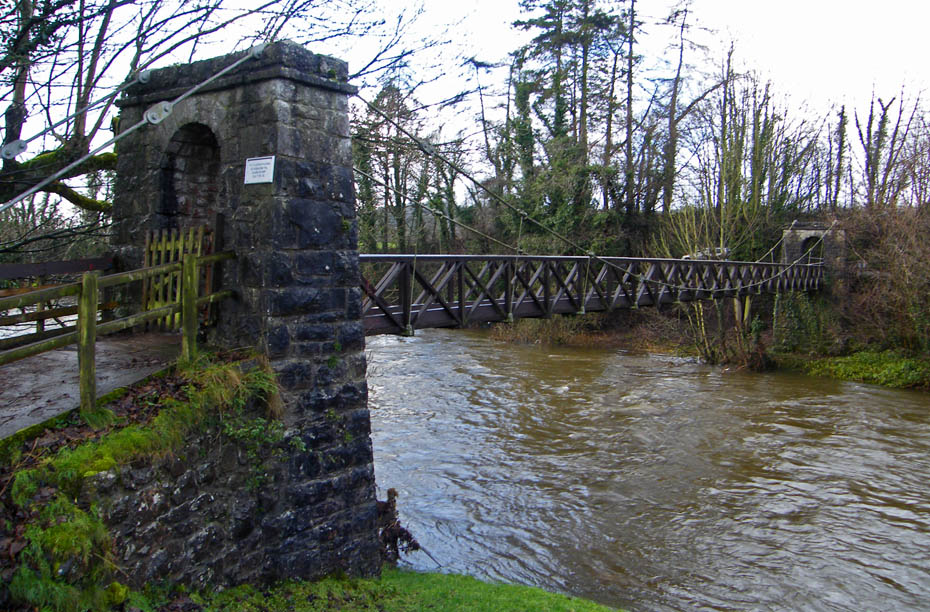
The footbridge over the River Kent....capacity 25 persons.....no queues today ;-)
Our plan is to follow the river upstream to Hawes Bridge.
A look back and wondering if we'll do it before the next showers arrive. Not that it mattered much we had the overtrousers on anyway to stop getting covered in mud.
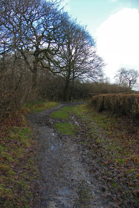

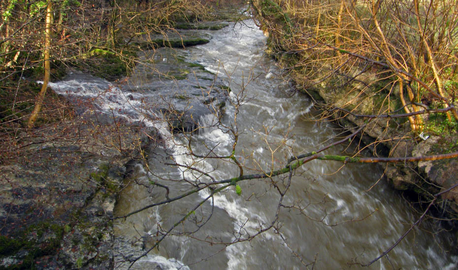
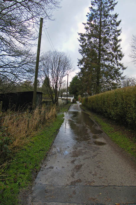
Very muddy paths in places make walking at times difficult.
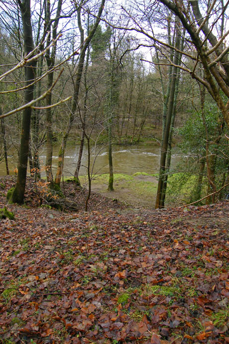

Looking down on the river as we follow it upstream. That's mattress in the picture on the right. Not sure if it's from the floods or dumping but I hope someone on the other side moves it.
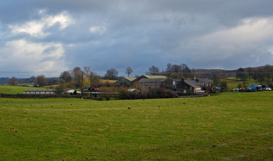
Larkrigg Farm which we would pass again on our return leg.
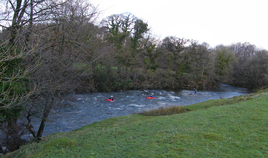
These guys were enjoying the fast flowing river.
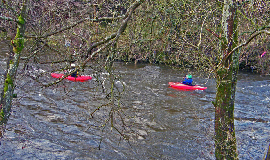
They look like Jackson Kayaks but I'm no expert.
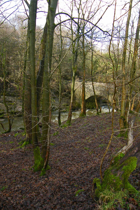
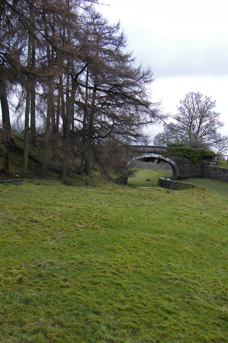
Eventually we arrived at Hawes Bridge seen on the left and a look upstream from the bridge on the right.
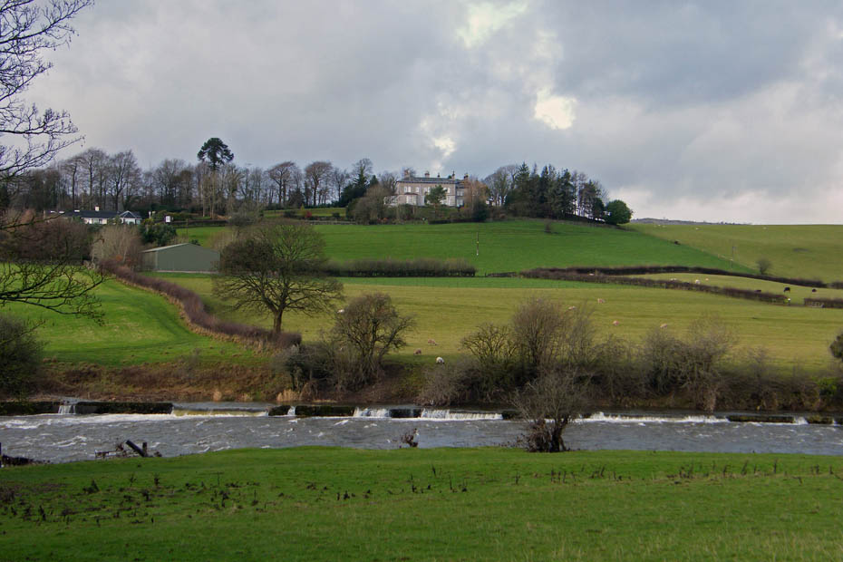
From Hawes Bridge we walked up the road a short distance to access the Lancaster Canal here looking over the river to Prizet Farm.
And here towards Benson Knott. The banking to the right is the track of the canal.
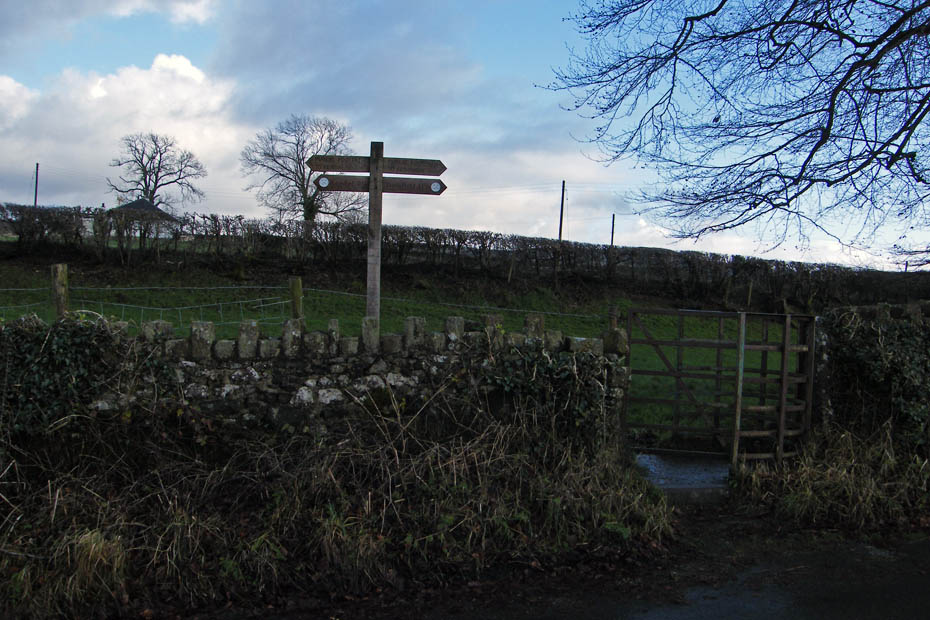
Leaving the road to access the canal path.
But where's the water?.....This section of the canal as been reclaimed for farming and in many places as been infilled.
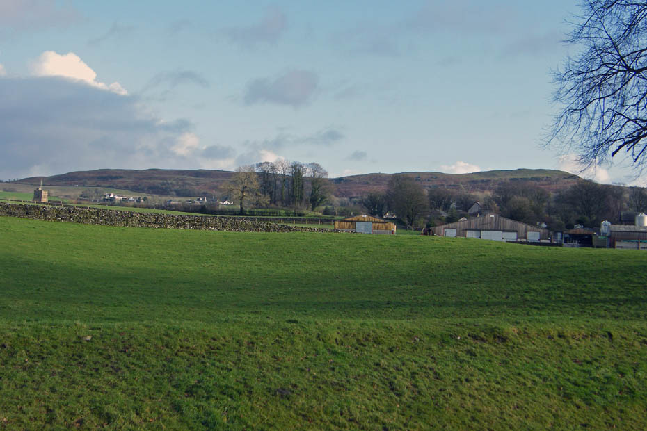
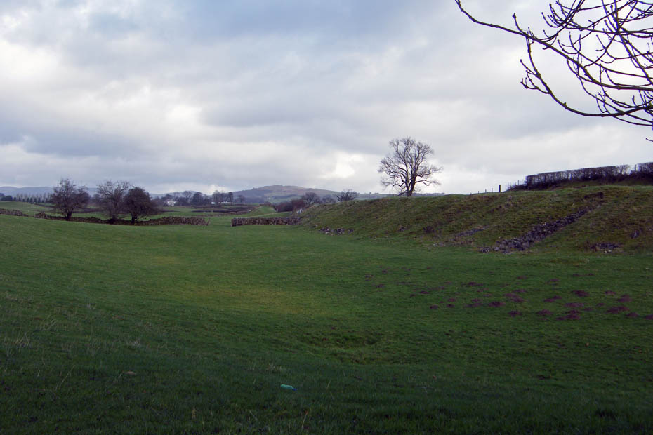
Looking over Cracalt Farm to The Helm. You can just see the church steeple at Natland on the left.
This picture shows the profile of the old canal perfectly.
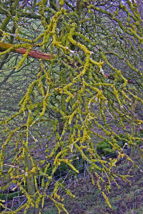
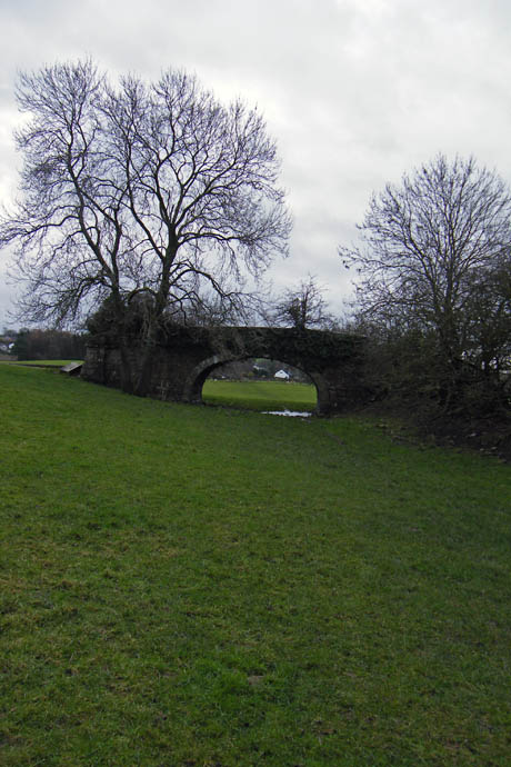
Nature decorates the trees far better than the human hand Another bridge along our way
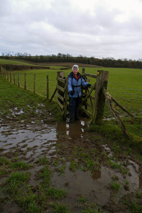
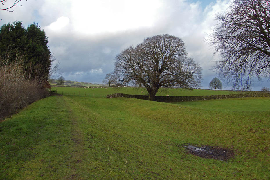
Approaching Sedgwick The joys of field walking after heavy rain.
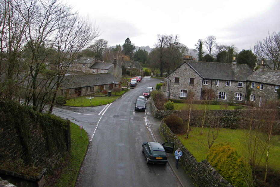
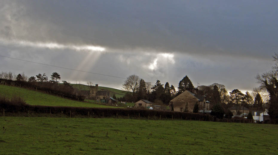
Sedgwick from the aqueduct.
Looking up to the aqueduct....it started to rain at this point
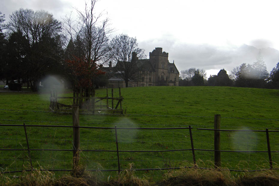
A quick picture of Sedgwick House which was built in 1868 for William Wakefield who was the owner of the Gunpowder Works near the River Kent.
Next Walk: 10th December 2009 - South Cumbria - Around Beetham & Milnthorpe
Last Walk: 30th November 2009 - Lake District - A Little Langdale walk
We hope you have enjoyed viewing this walk. If you have any comments please sign our Guestbook or E_Mail us.
