
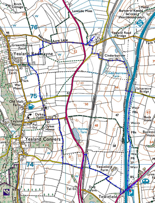
| Area: | N. Lancs / S. Cumbria | Ascent: | 280 feet |
| Walk No: | 331 | Time: | 2hours 15minutes |
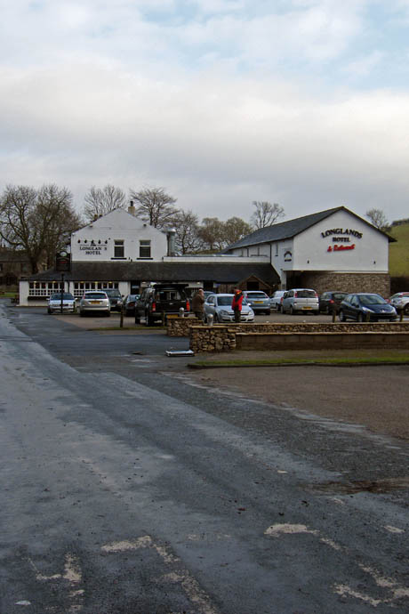
| Date: | 17th January 2010 | Parking: | Near Longlands Hotel at Tewitfield |
| Distance: | 5.00 miles | Weather: | Dull |
| Route: |
For those of you that are thinking of going onto the hills I would strongly recommend that you read the advice given by the Mountain Rescue organisation of England and Wales. To read this advice, which will open in a new page please click HERE. If you would like to make a donation to the Mountain Rescue organisation which is purely voluntary please click HERE. Please make the time to read the advice page.
When we left home I was
anticipating a grand day. However on the short drive to Tewitfield the sun was
lost behind a bank of low lying cloud. It did make a couple of short appearances
but these were very brief. The walk concentrates on an area lying to the west of
the M6 and includes many of the old roads and trackways surrounding the
beautiful little villages of Yealand Conyers and Yealand Redmayne. It also
features a section of the ancient drove-road lying just west of the present A6,
the famous "Prince's Route", along which in 1745 came marching the highland army
of Prince Charles Edward Stuart on their way south from Kendal to Lancaster and
hence to a dismal reversal of fortunes at Derby. An easy level walking route
along towpath and field paths.
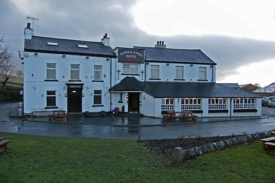
The walk started from the car park near the Longlands Hotel at Tewitfield.
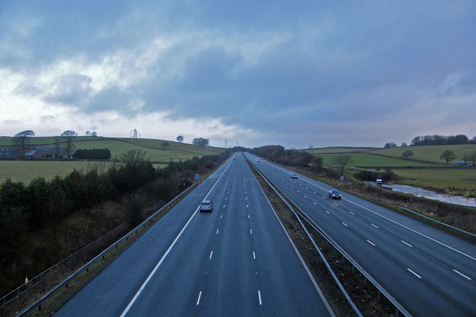
A short walk back along the A6070 took us over the M6 before taking a lane on the right.
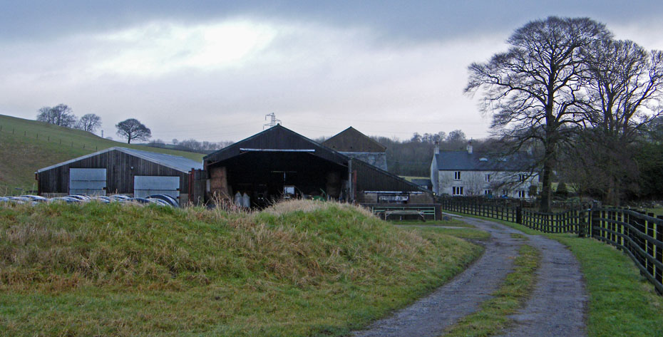
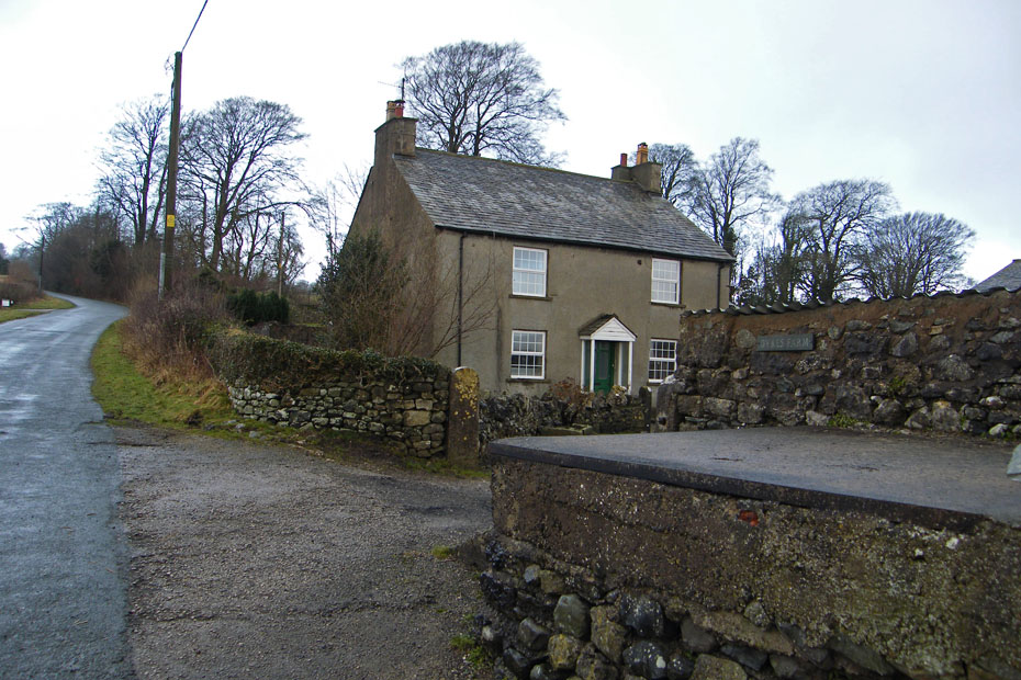
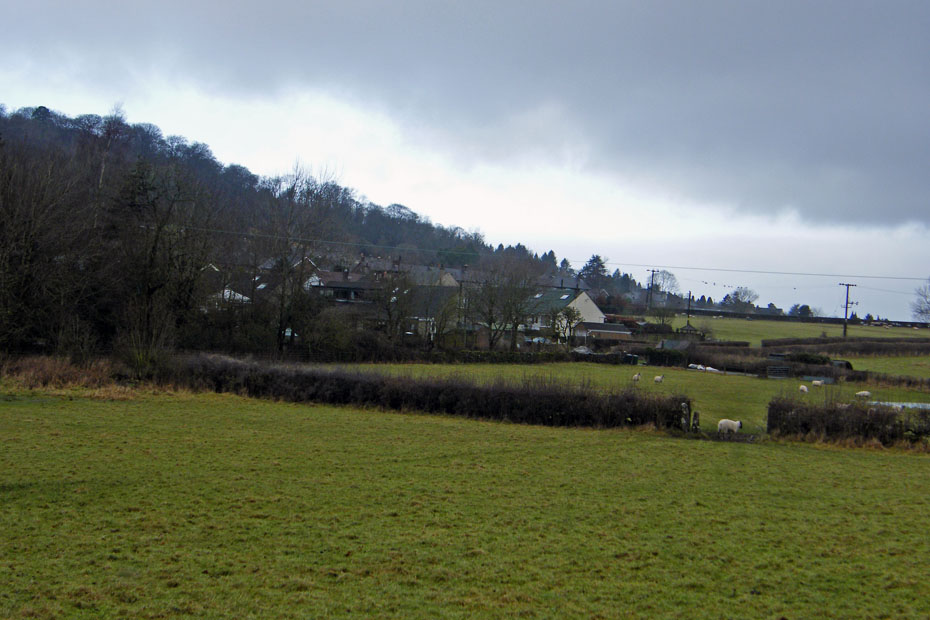
Passing Tewitfield Farm as we walk along the lane.
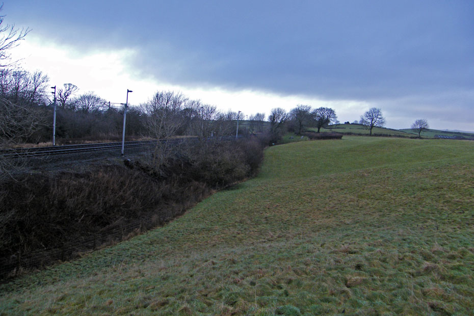
The lane eventually opens into a field adjacent to the railway line. Our path follows the hedging to a stile which after crossing goes under the railway to emerge onto the A6.
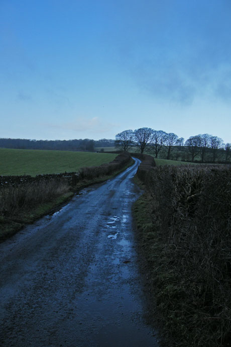
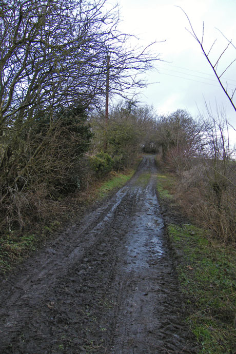
After a short walk back southwards along the A6 we took a lane opposite (left) which leads up towards Yealand Conyers. However after a short distance we took another lane (right) which is an ancient drove road and was used by Bonnie Prince Charlie on his march south.
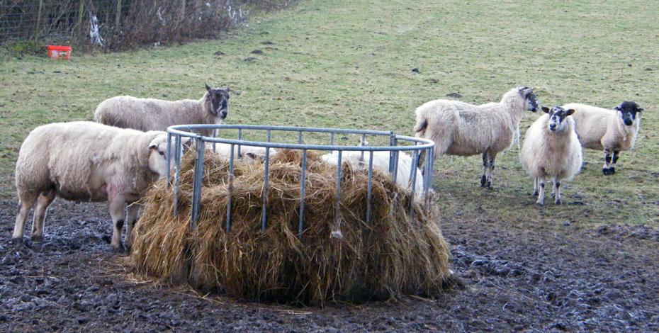
Feeding time.
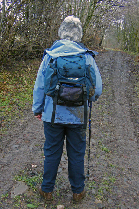
The ground was still partly frozen with some icy patches and one of us ended up on there backside. Guess who?.....Fortunately no harm done.
An interesting section along here as the fields had been muck spread .
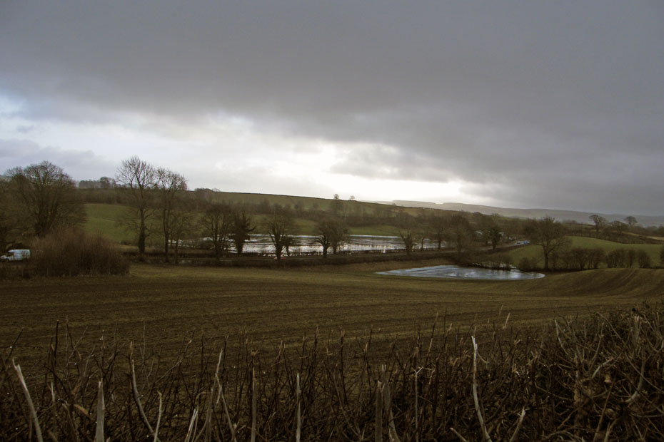
A look down to Holme Tarn adjacent to the A6
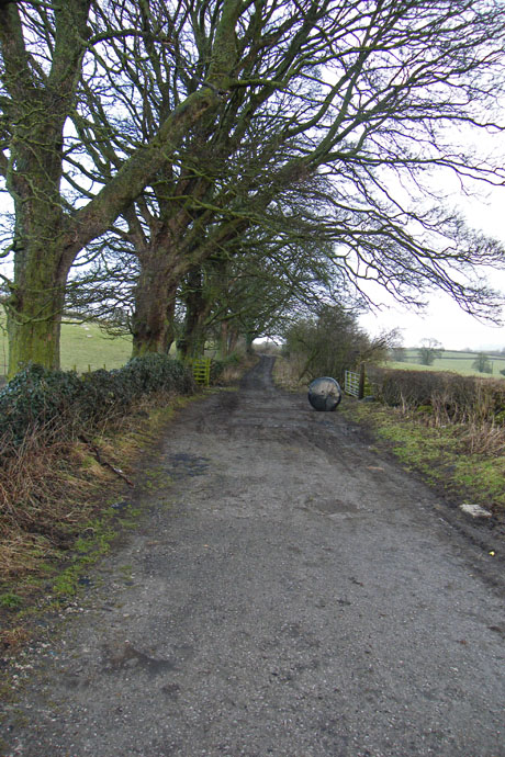
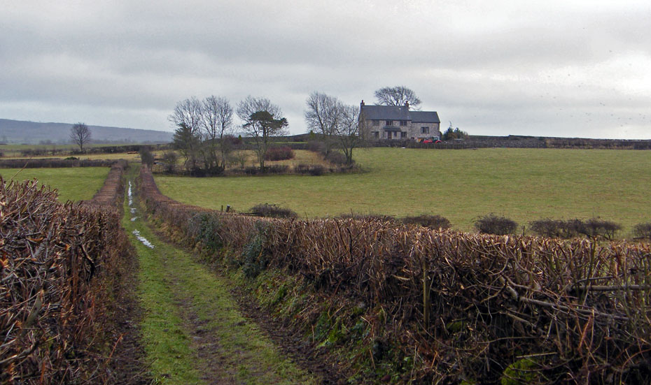
At the end of the path it joins a minor road. Turn left past Dykes Farm to take another minor road on the right.
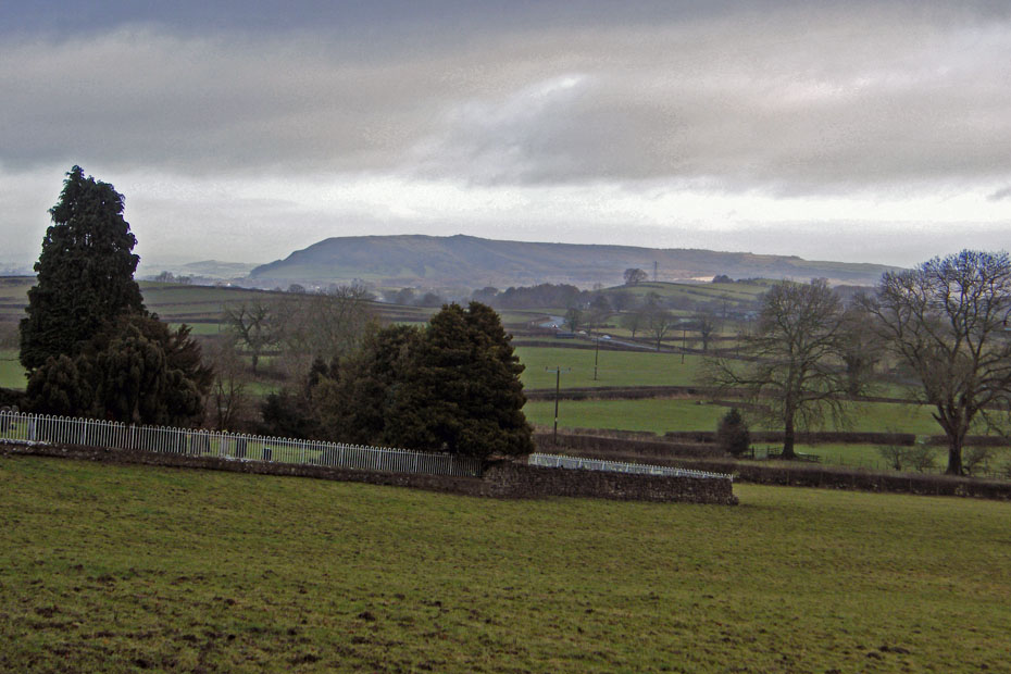
A poor view to Farleton Fell
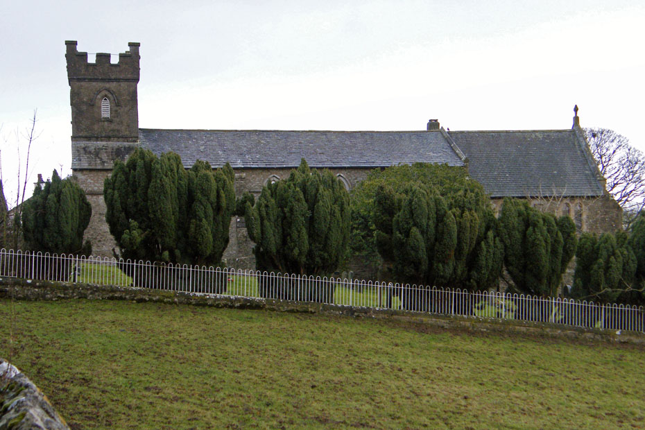
St Johns Church at Yealand. The name Yealand, mentioned in the Doomsday book as Jalant, derives from the Anglo-Saxon word meaning ‘high ground’.
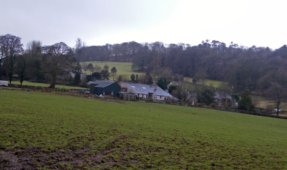
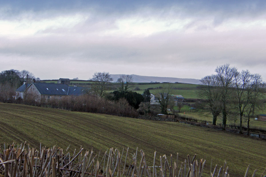
Old Hall Farm
Walking across the fields to Yealand Redmayne.
From Yealand Redmayne we took this bridleway which would lead us to Nineteen Acre Lane and the A6.
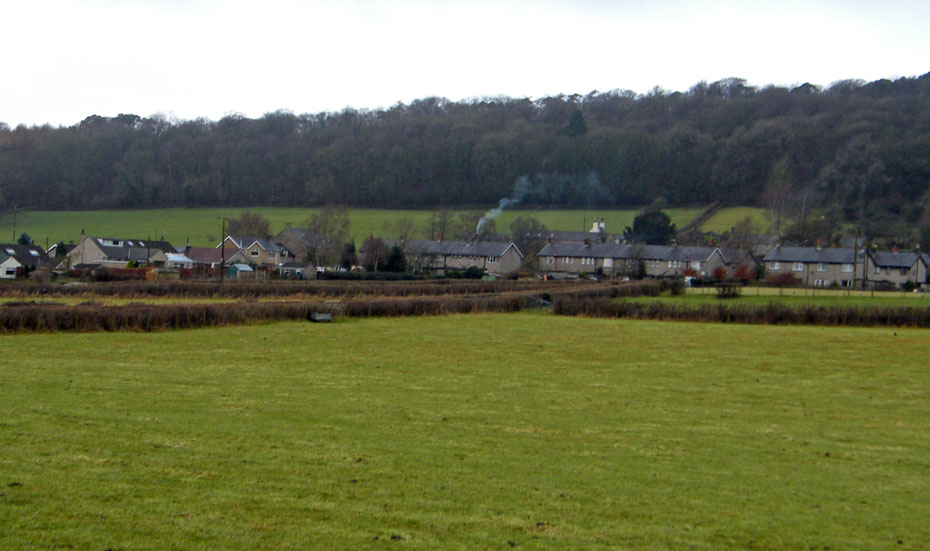
A look back to Yealand Redmayne
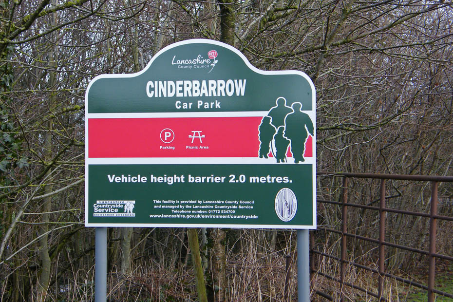
After crossing the A6 we visited Cinderbarrow Picnic Site, a place we have passed thousands of times but never visited.
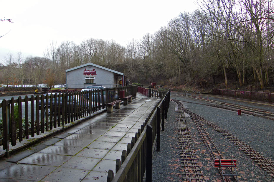
Apart from the picnic site it is home to a minature railway run by the Lancaster and Morecambe Model Engineering Society.
You can take a ride if you want!!
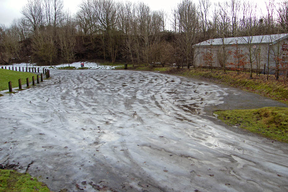
The car park looked a bit slippy though.
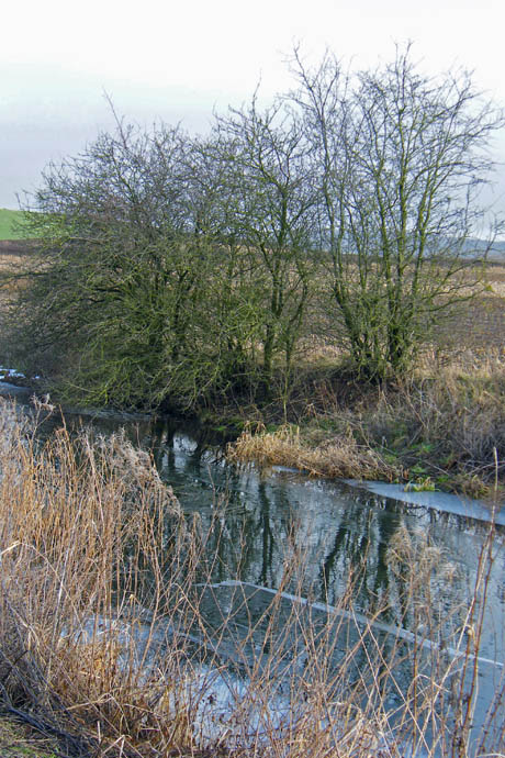
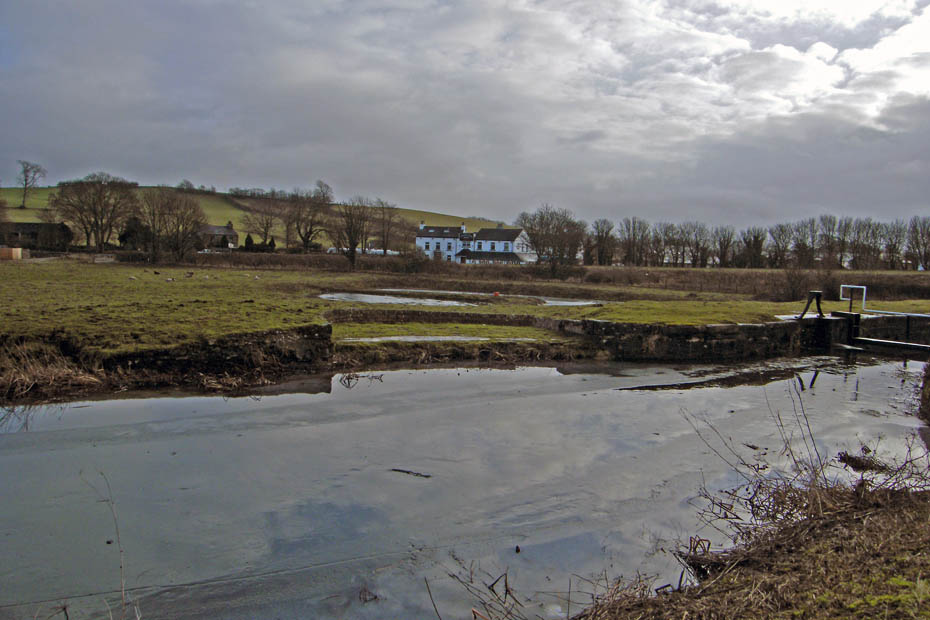
After having a look around we made oyr way towards the Northern Reaches of the Lancaster Canal.
Recrossing the M6
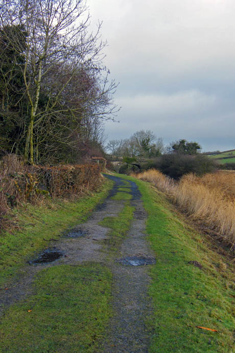
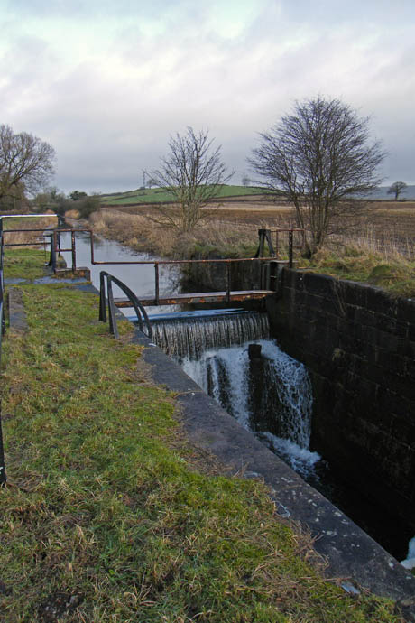
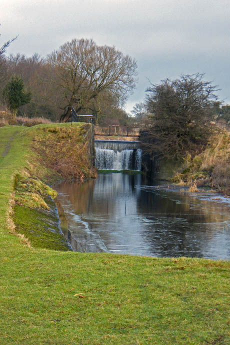
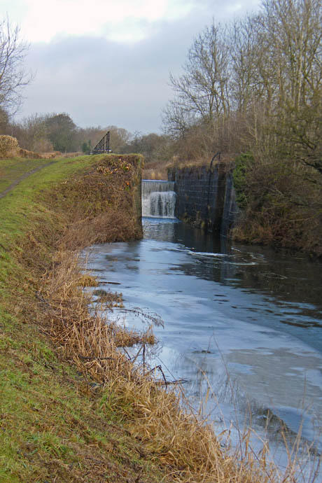
Now it was just a simple stroll down the canal back to Tewitfield.
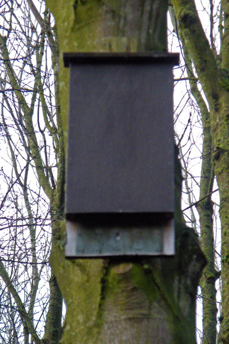
There were a number of these in the woods between canal & motorway. I think they are Bat boxes.
Nearly there
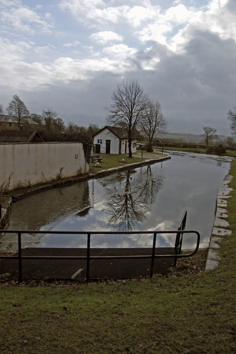
And finally.....back to the car.
Next Walk: 21st January 2010 - N.Lancs - Lancaster Canal at Garstang
Last Walk: 13th December 2009 - Arnside & Silverdale AONB - A Silverdale saunter
We hope you have enjoyed viewing this walk. If you have any comments please sign our Guestbook or E_Mail us.
