
| Area: | Yorkshire Dales (W) | Ascent: | 670feet |
| Walk No: | 368 | Time: | 2hours 40minutes |
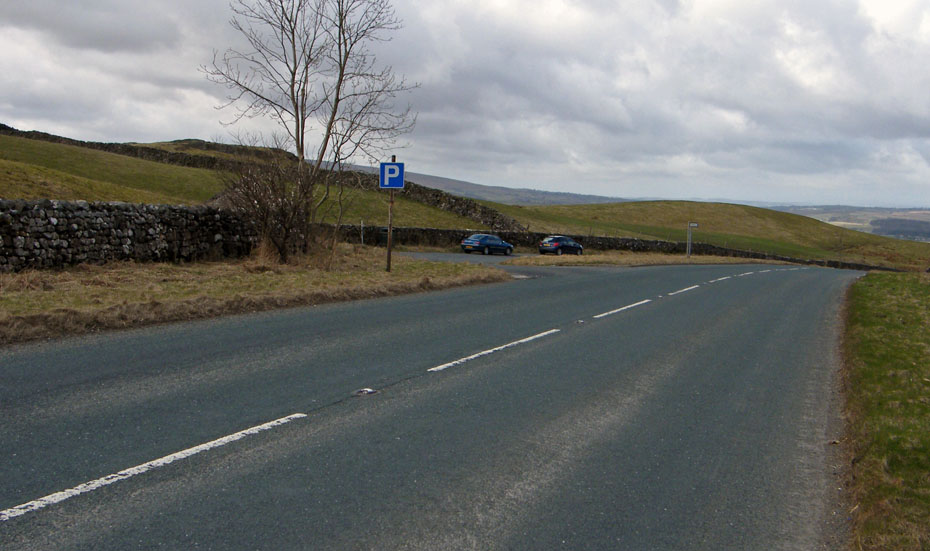
| Date: | 28th March 2010 | Parking: | Lay-by on B6480 |
| Distance: | 5.25miles | Weather: | Fine with some sun....very windy |
| Route: |
For those of you that are thinking of going onto the hills I would strongly recommend that you read the advice given by the Mountain Rescue organisation of England and Wales. To read this advice, which will open in a new page please click HERE. If you would like to make a donation to the Mountain Rescue organisation which is purely voluntary please click HERE. Please make the time to read the advice page.
Back to the Dales today to visit a feature know as the "Celtic Wall". We haven't visited it for may years but I was reminded of it on the 5th July 2009 when I could see it from Smearsett Scar.
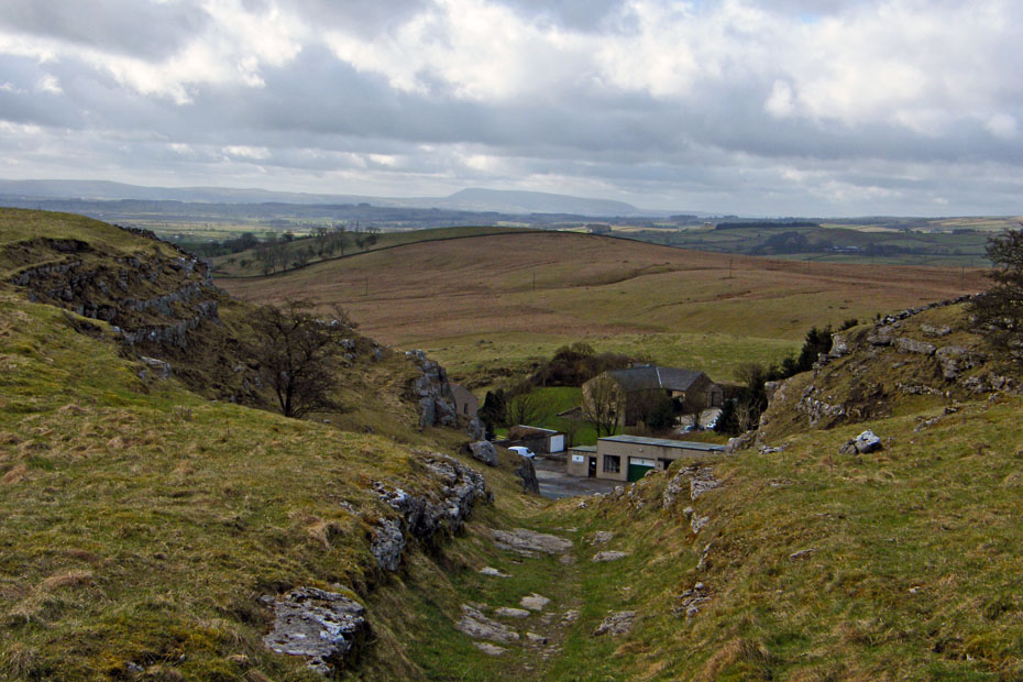
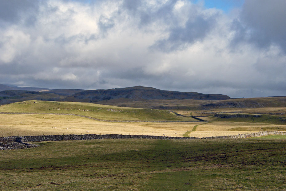
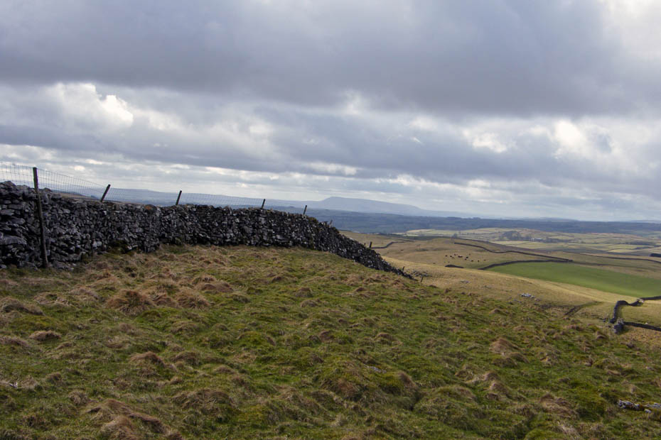
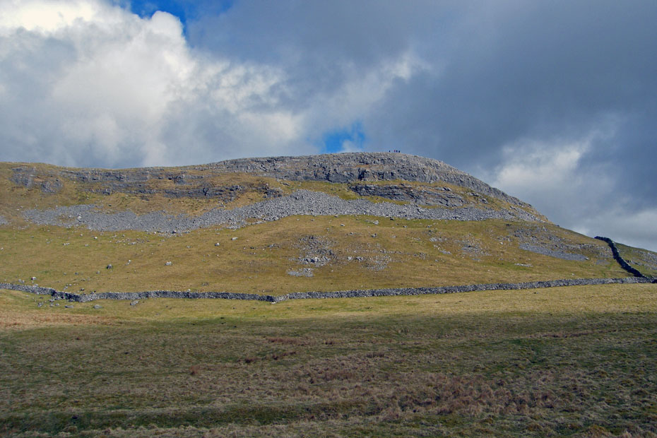
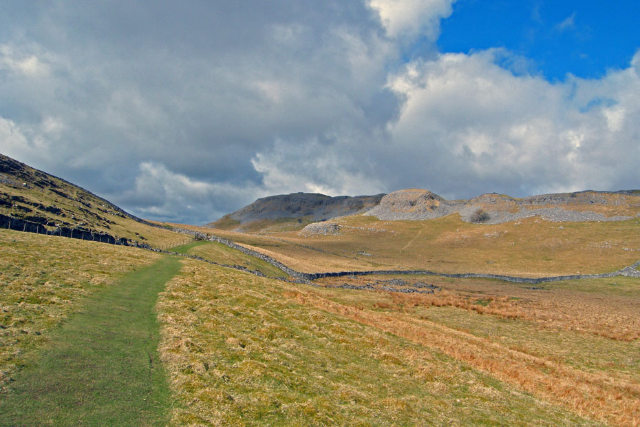
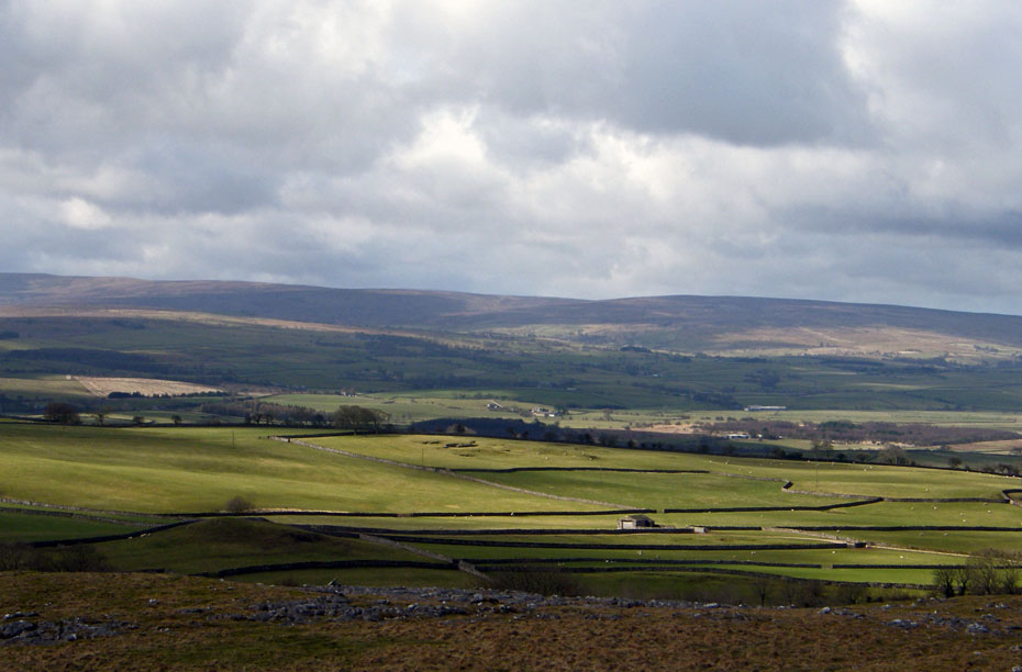
Having left the car a short distance down the road we walked up to the top of the road to gain access. The initial climb is short but fairly steep so gives me plenty of reasons to stop. Here we are almost at the top with Pendle Hill in the distance.
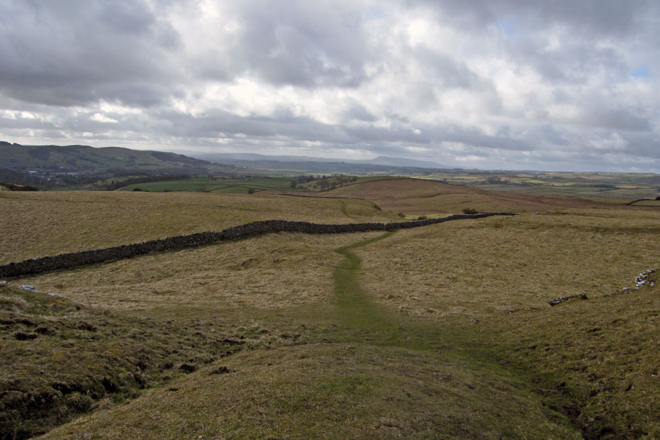
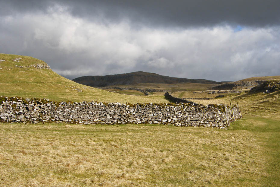
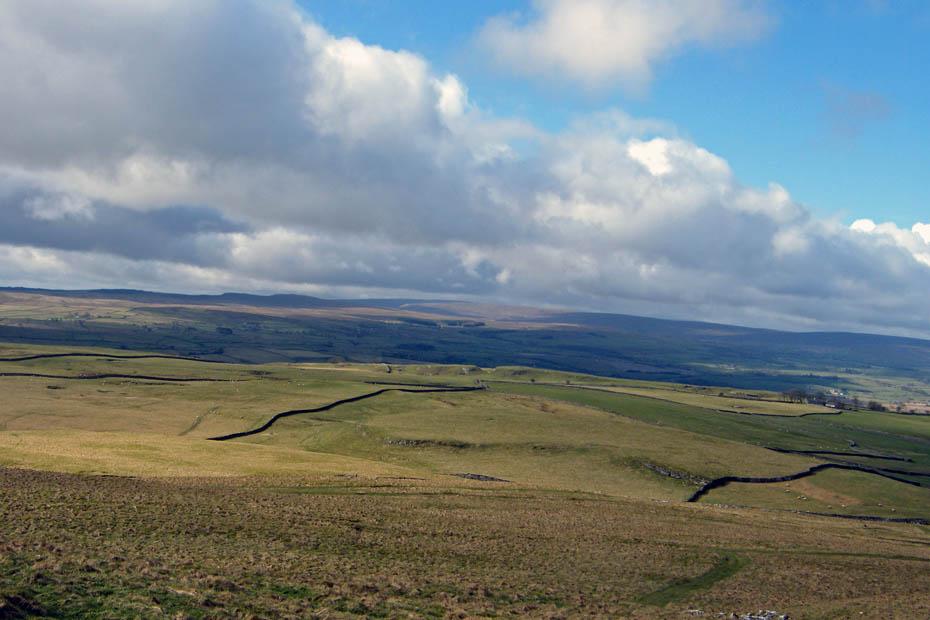
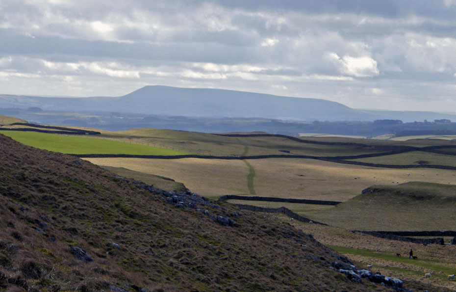
Another look back shows our path along the top.
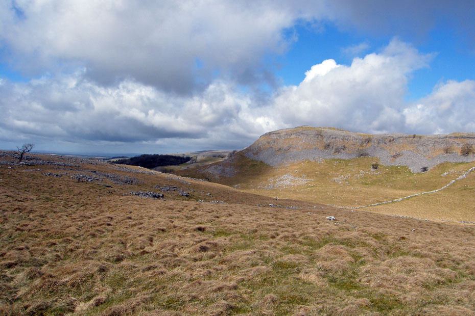
It was a very windy morning, the clouds were fairly flying across giving periods of shade and light.
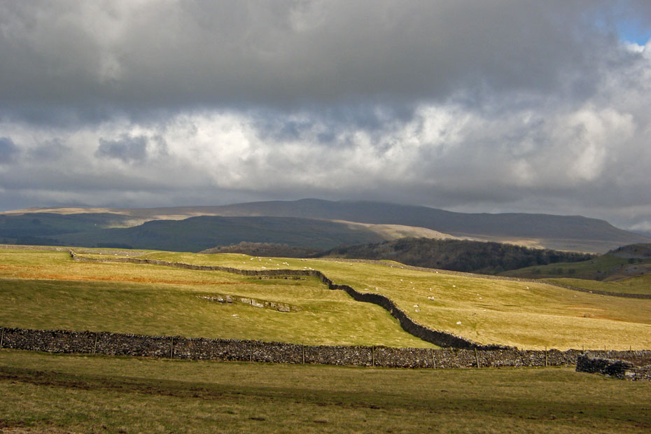
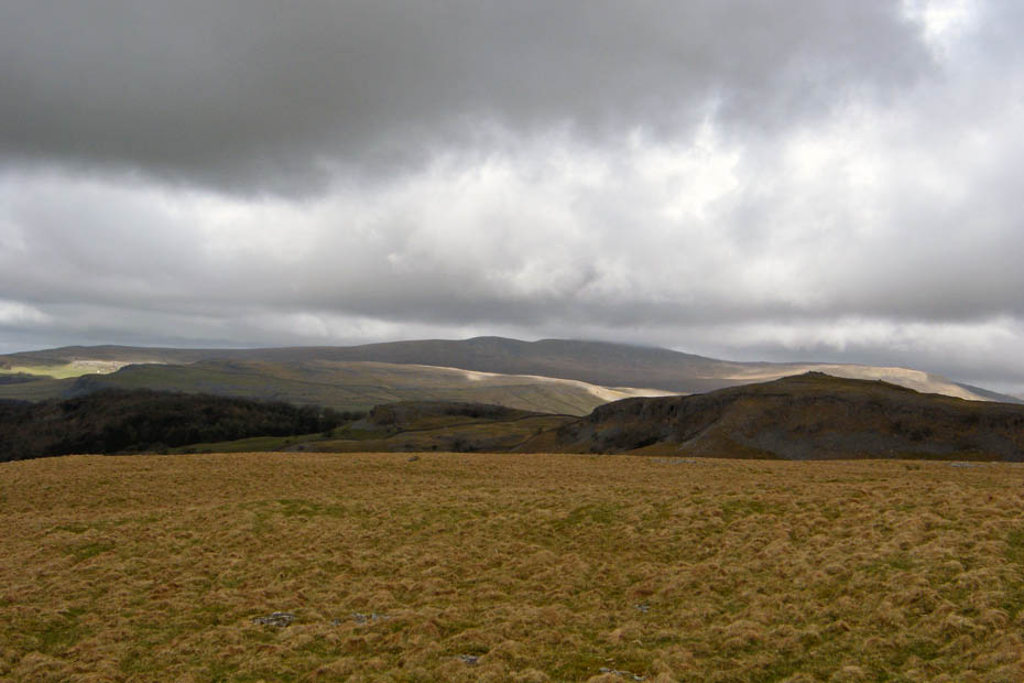
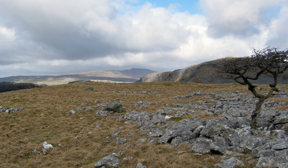
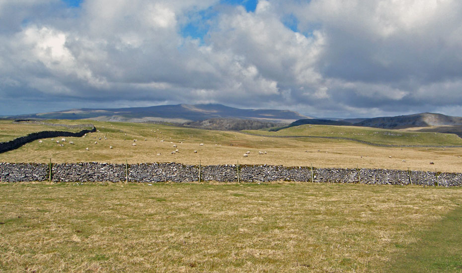
Ingleborough in the distance is just cloud topped.
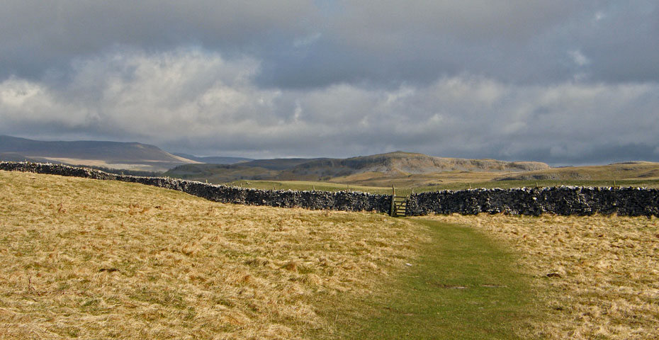
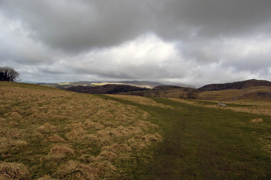
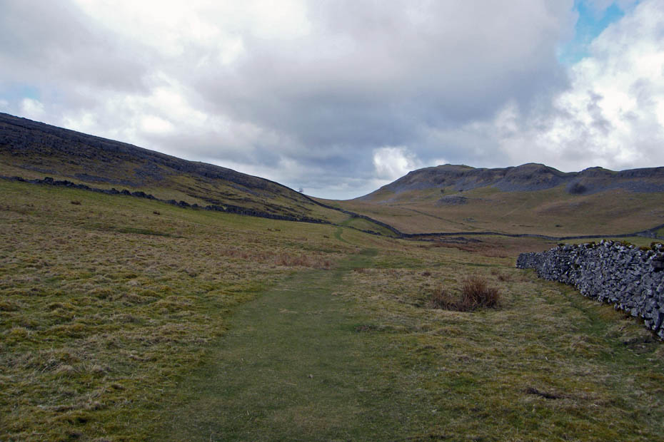
Our way ahead is clearly shown across the fields.
At this point where we join the Feizor - Stackhouse path we left the right of way (RofW) to take a track over Feizor Thwaite.
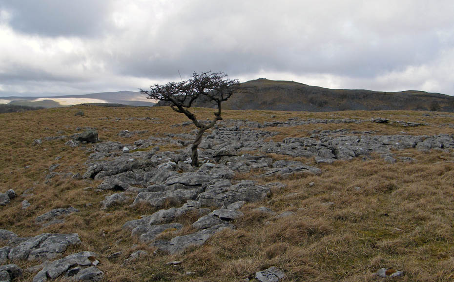
Shortly after passing this tree we took a path off on our right which almost doubles back to a wall with gate (locked)
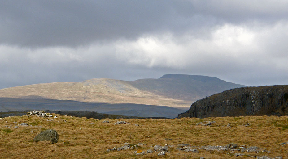
Looking to Pendle Hill from the gate. In retrospect it would have been quicker to just follow the wall up from our path below but who's rushing.
The Bowland Hills
Ingleborough is just about cloud free now. Pictures taken it's a climb over the gate to find our first objective.

Dead Man's Cave.....nice location , not sure about the name though!
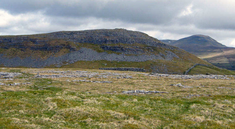
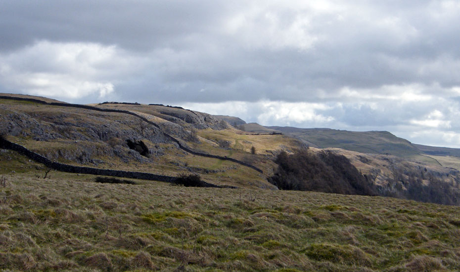
Following a track in the direction of Smearsett Scar and a distant Pen y ghent we soon saw the Celtic Wall.

Fountains Fell over to our right.
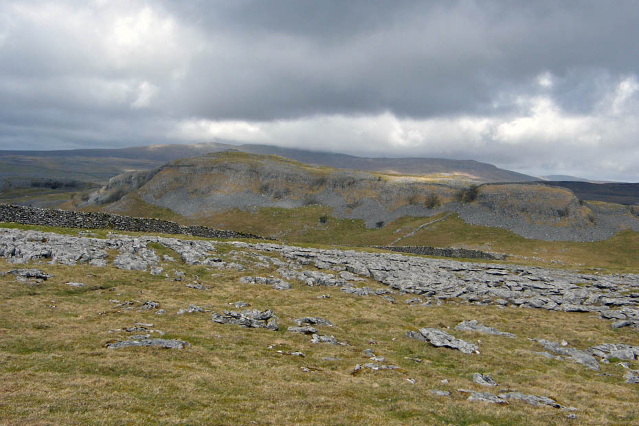
Pot Scar
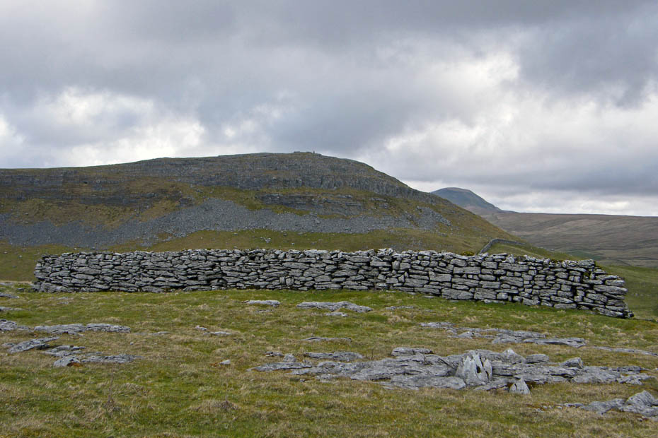
The Celtic Wall.....Not having AW's "Walks in Limestone Country" , I have to rely on a quatation that was posted on a forum ....thanks Ian
"A strong limestone wall approx 65' in length, 5' in height and 5' wide at the base. (60yds E is a smaller fragment of wall with adjacent foundations from which the stones have been removed). The appearance of the wall, at first glance, suggests that it was built as a shelter for sheep, such structures being common in the the district, but it's unusual thickness and obvious age support a conjecture that it's purpose was that of a defensive sheild for an ancient encampment in the valley, the earthworks of which can still be traced. Excavation of the sites of similar walls, however, has revealed them to be places of burial and this was probably the use here. The wall is not seen from the paths in the vicinity and stands in lonely isolation on an elevated and unfrequented pasture, it's remoteness(and surprising omission from Ordanance maps) no doubt accounting for it's excellent preservation. This interesting survival from the past, thought to be over 2000 years old, is known to local historians as the Celtic Wall."
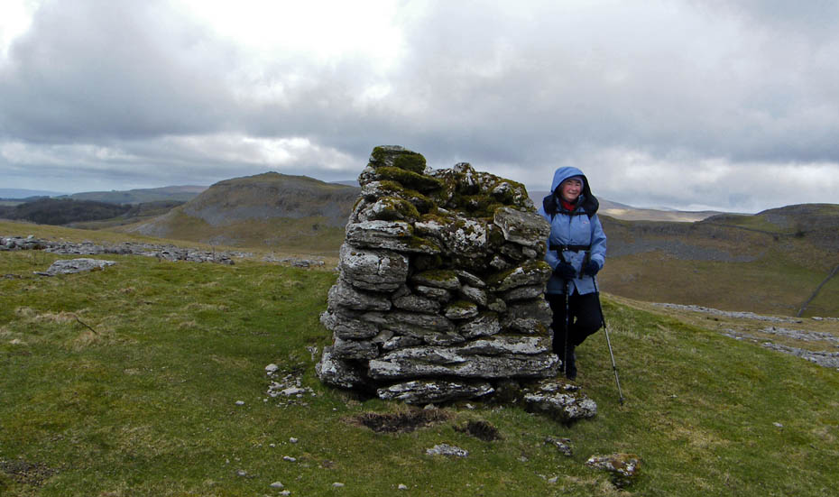
Edith at 5' 3" makes a usefull measuring pole. The following info was also posted ....thanks One F
I've just been to see the local historian in Settle, website
www.northcravenhistoricalresearchgroup.co.uk who suggests that it is not
thought to be as old as the name Celtic may suggest. It is built over a burial
mound but again, it is not thought that the burial ground has anything directly
to do with the wall.
The style in which the wall has been built would suggest it is Medieval in
origin and one school of thought is that it was built as a means of defining a
boundary (apparently boundary disputes were quite common in those days). It also
appears to have been rebuilt in places, probably around 17thC or 18thC.
It is also thought that the stone used to build the wall was part of a clint
clearance from the surrounding limestone pavement, borne out by the now smooth
limestone pavement and the stones used in the wall are the same as the limestone
pavement itself.
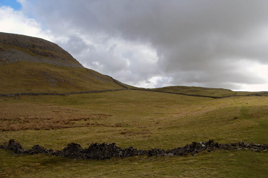
Anyway with curiousity satisfied we made our way down into what is known as Happy Valley to pick up the Feizor - Little Stainforth track which we followed for a short way.
Looking back along Happy Valley. The Celtic Wall is above us on the left.
We left the Feizor - Little Stainforth track to walk up towards Smearsett Scar from where we got this view where we had walked on the 17th March 2010.
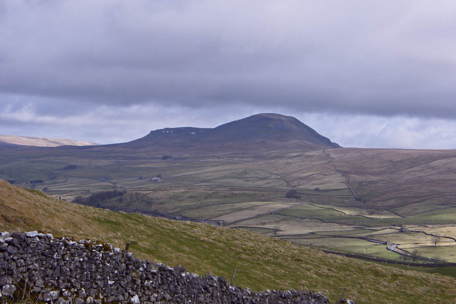
But this was the reason I came up here. I think Pen y ghent from this angle shows it at it's best.
We then descended back to Happy Valley.
This is a delightful path which leads to Feizor. However just past the gate at the end we will pick up a track which is the one we left near the small tree in picture 8
Pot Scar as we leave the valley path.
Back at the little tree and Ingleborough is finally clear of cloud. From here we are retracing our steps but that's no hardship up here.
Bonny Bowland.
Pendle Hill
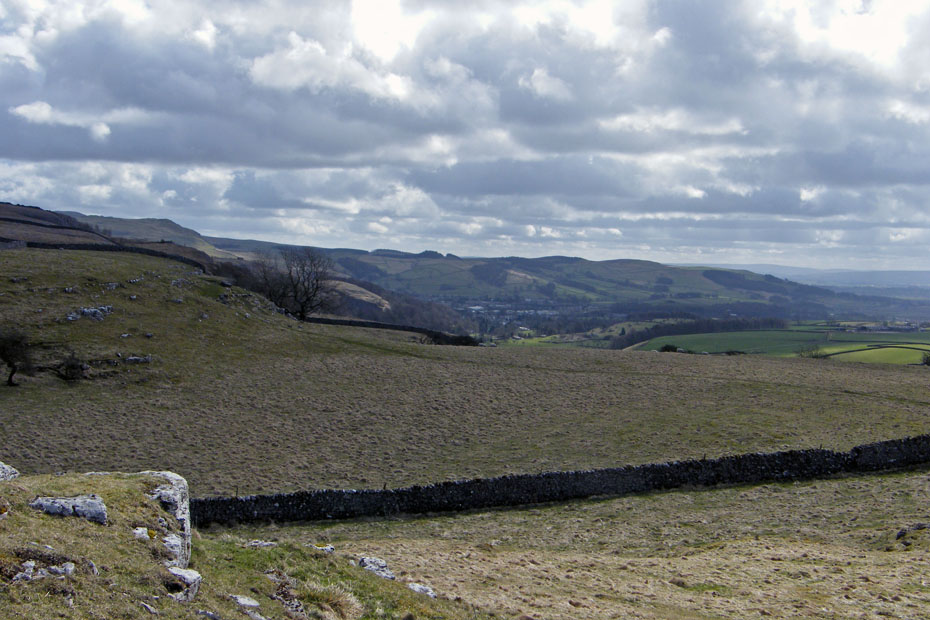
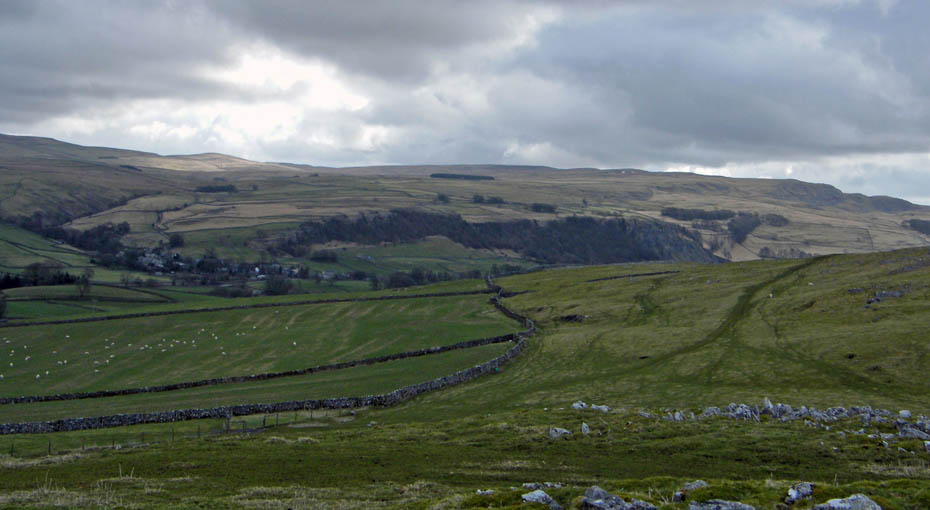
Looking towards Settle as we make our way back.
Giggleswick Scar
And finally....back to the car
Next Walk: 1st April 2010 - Arnside & Silverdale - Arnside Knott & the Pepper Pot
Last Walk: 27th March 2010 - Lake District - Whitbarrow
Do you have a Facebook or Twitter account. We post regular updates on both. Just click on either of the links below.
![]()

We hope you have enjoyed viewing this walk. If you have any comments please sign our Guestbook or E_Mail us.
