
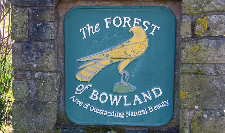
| Area: | Forest of Bowland | Ascent: | 890feet |
| Walk No: | 370 | Time: | 2hours 50minutes |
| Date: | 2nd April 2010 | Parking: | Roadside at Scorton |
| Distance: | 5.00miles | Weather: | Fine with sunny spells, more cloud towards the end |
| Route: |
For those of you that are thinking of going onto the hills I would strongly recommend that you read the advice given by the Mountain Rescue organisation of England and Wales. To read this advice, which will open in a new page please click HERE. If you would like to make a donation to the Mountain Rescue organisation which is purely voluntary please click HERE. Please make the time to read the advice page.
The start of the Easter Weekend so it seemed a good idea to make for an area where there would be a few less people about. Not wanting to travel too far we made our way down the A6 to leave the car at the roadside in the village of Scorton.
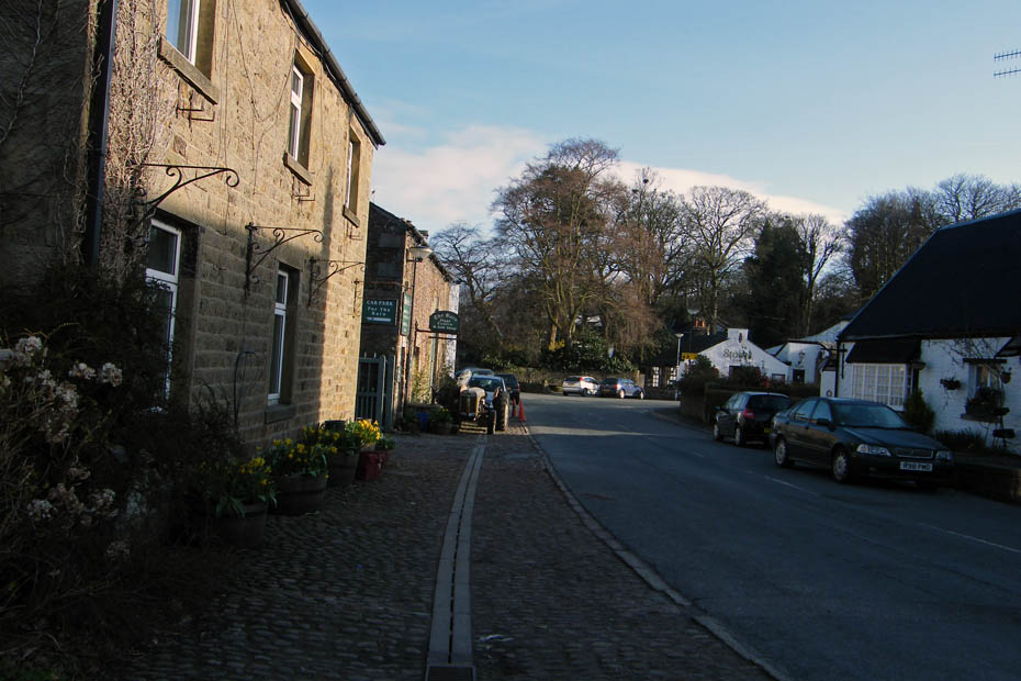
Walking into the village where we would turn right up Snowhill Lane.
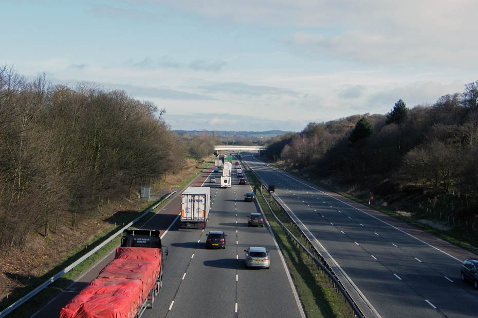
Crossing the M6 where most of the traffic is heading north.....the Lakes perhaps?

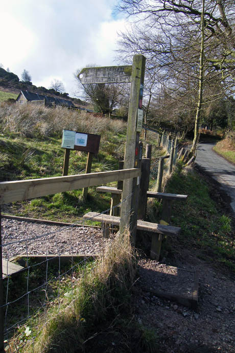
The route continues, climbing all the time, until at a T Junction there is an access stile to the fellside.
The path at first is quite steep and can be very wet but gets better as height is gained.
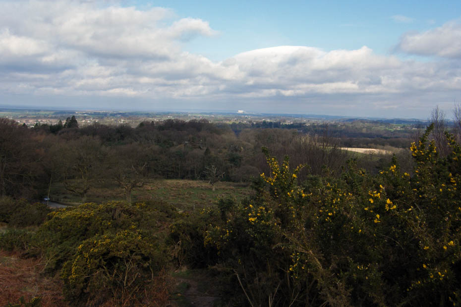
The views to Lakeland are restricted by low cloud but the white roof cladding on Heysham 2 Power Station stands out
Looking down to Wyresdale Park
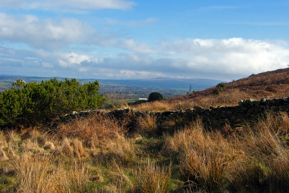
A distant Clougha Pike
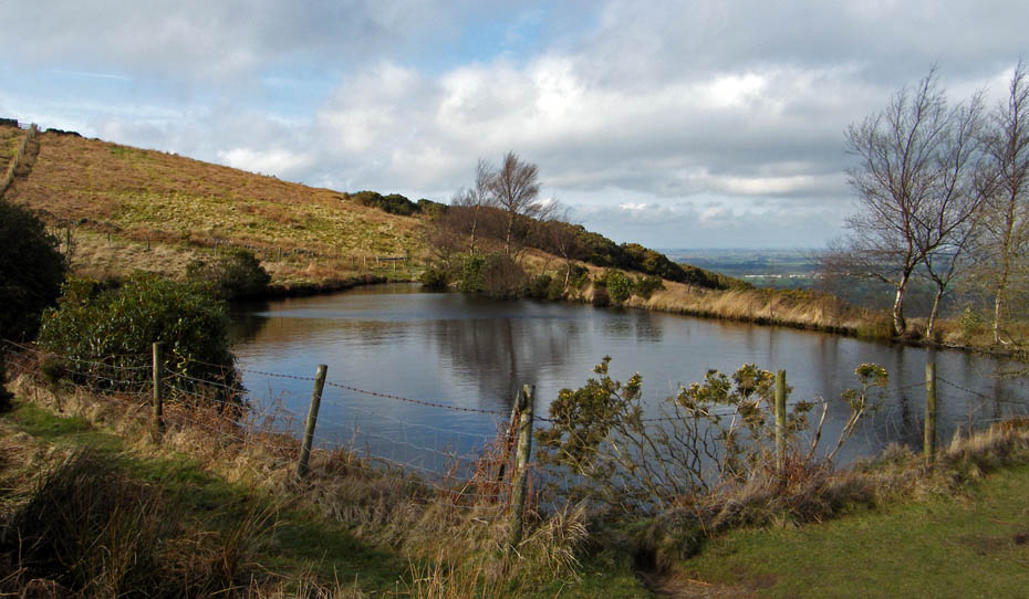
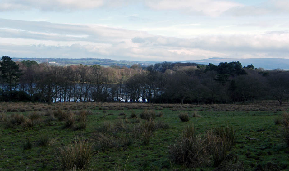
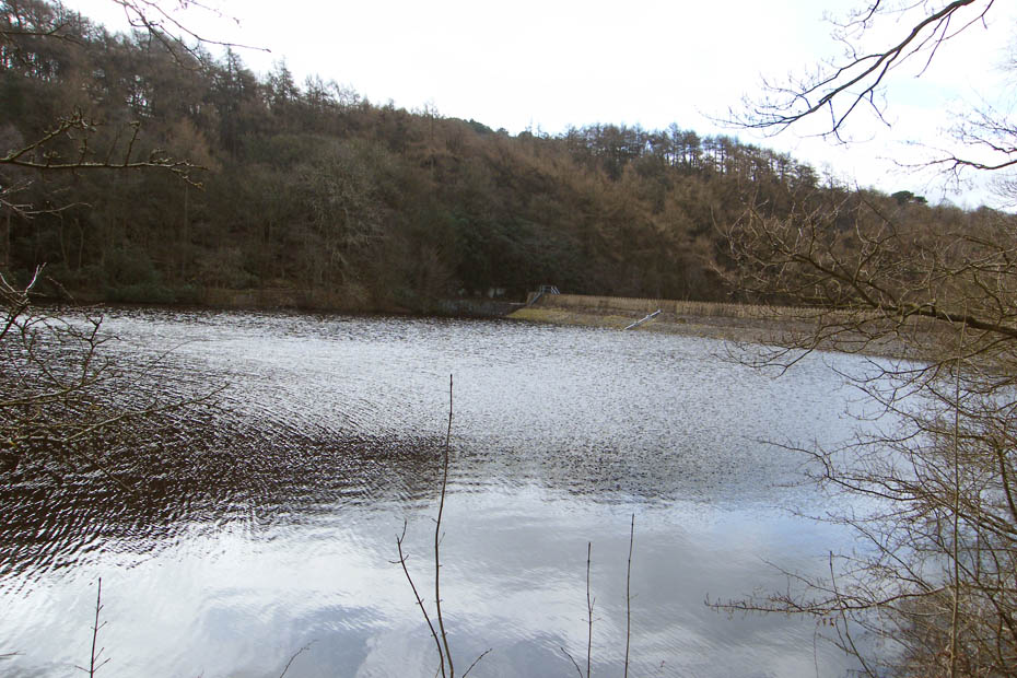
The reservoir part way up the fellside.
Just past the reservoir we decided to leave the main path to have a look at the cairn to the SW.
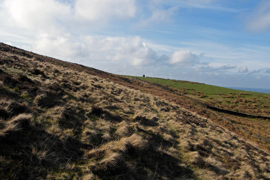
A little bit rough underfoot at first until we picked up a farmers route.
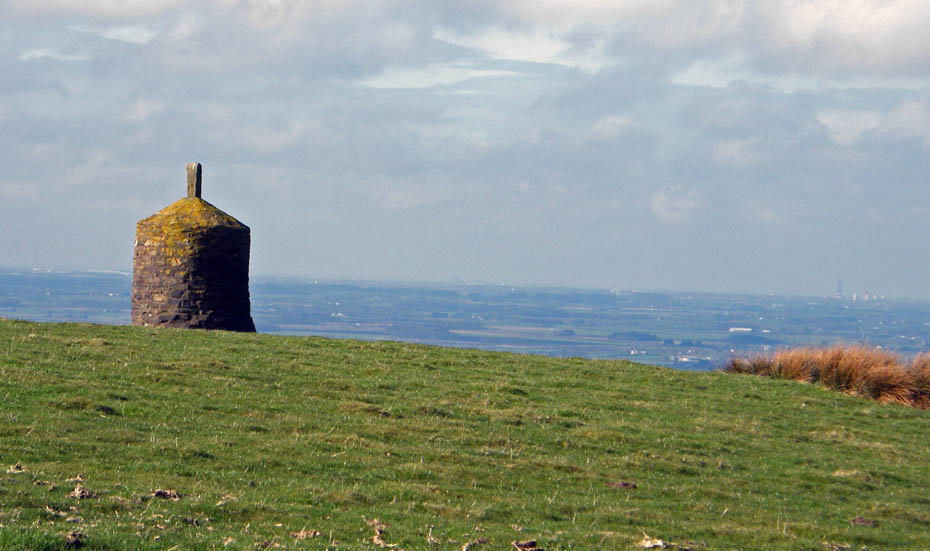
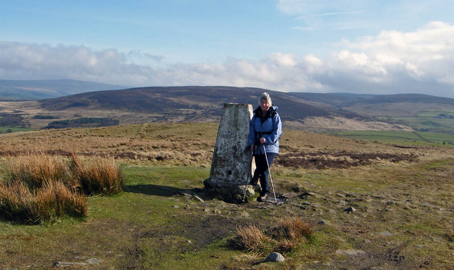
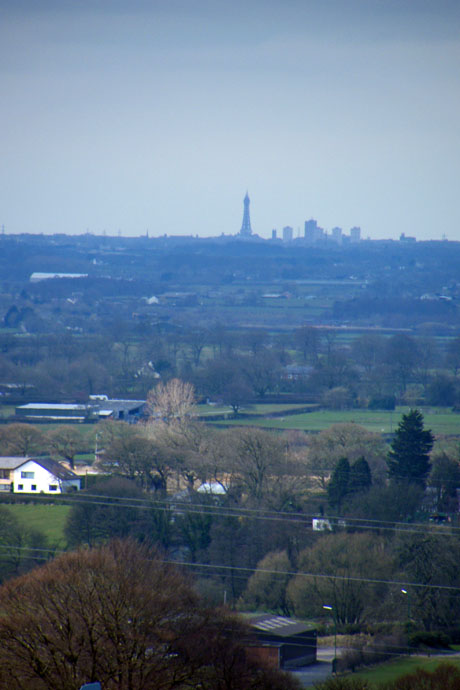
A fine structure, just a pity it was a bit hazy. Blackpool Tower is to the right of picture.
A look back as we make our way back to the main path.
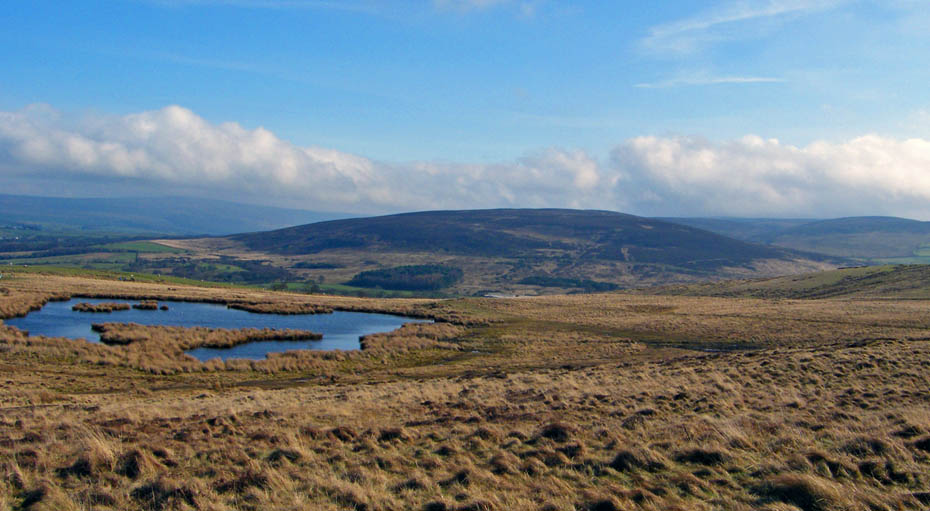
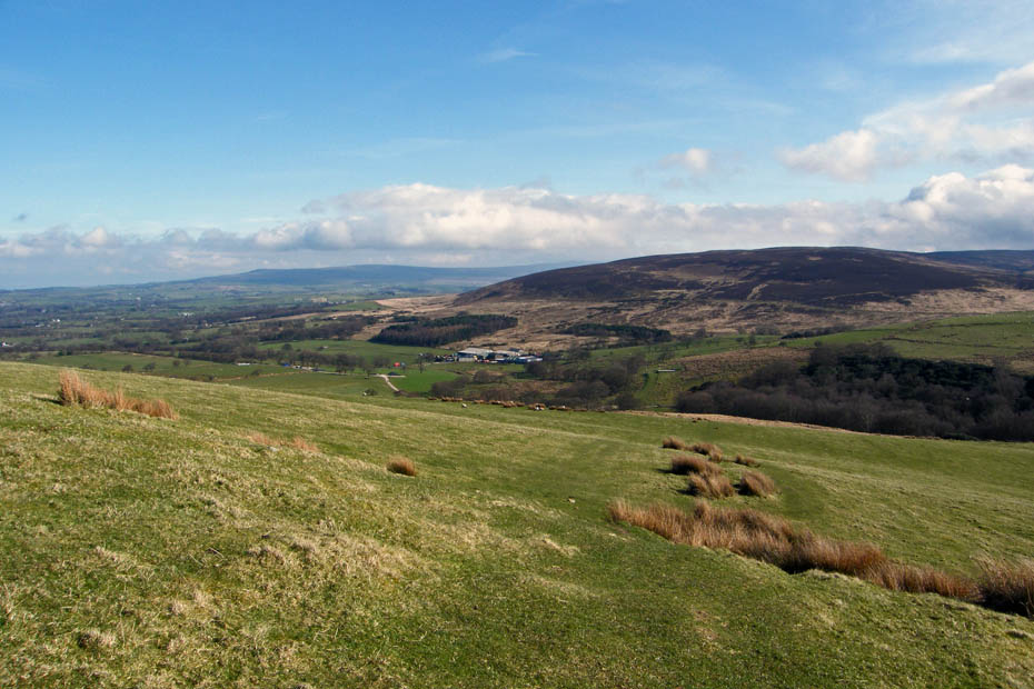
Looking over The Tarn to Clougha Pike, Grit Fell and Ward's Stone.
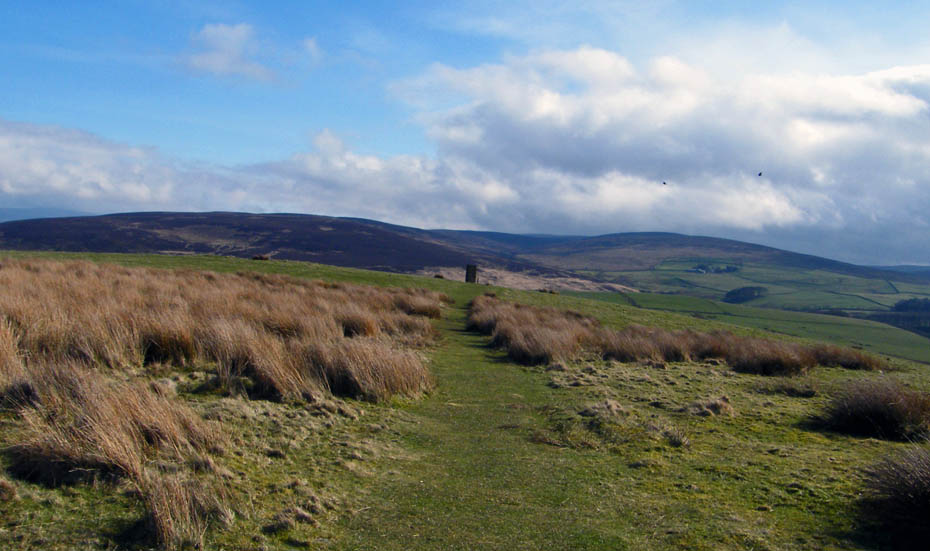
Grizedale Fell
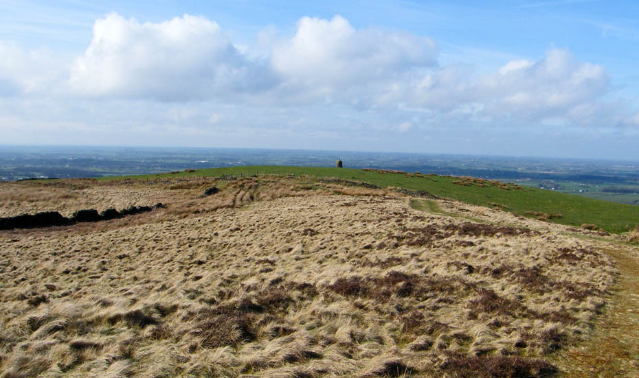
Nicky Nook summit.
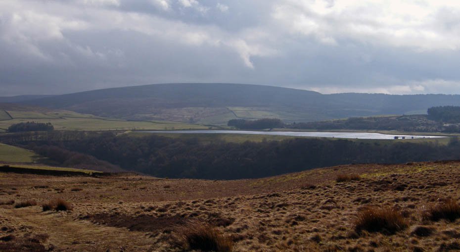
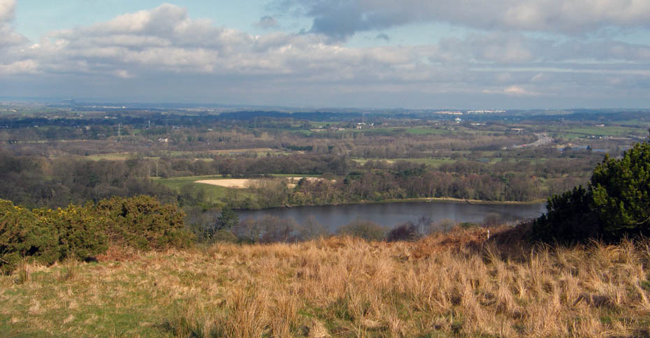
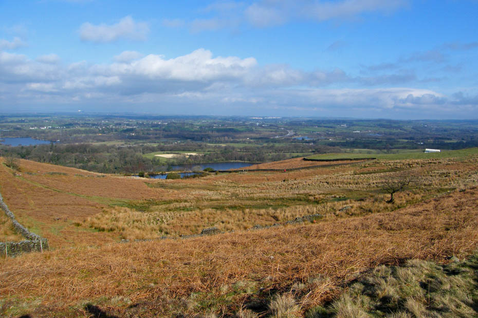
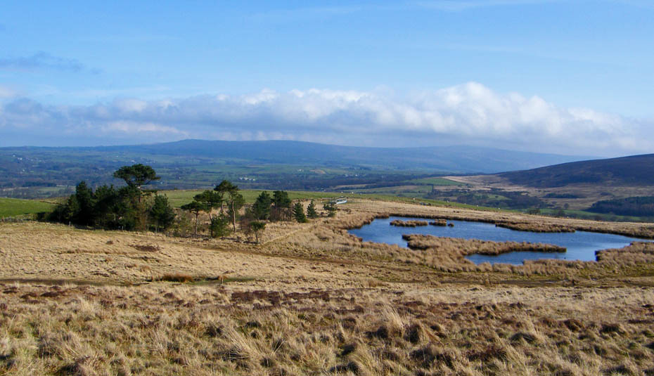
Looking over Grizedale Lea Reservoir to Bleasdale Moors.
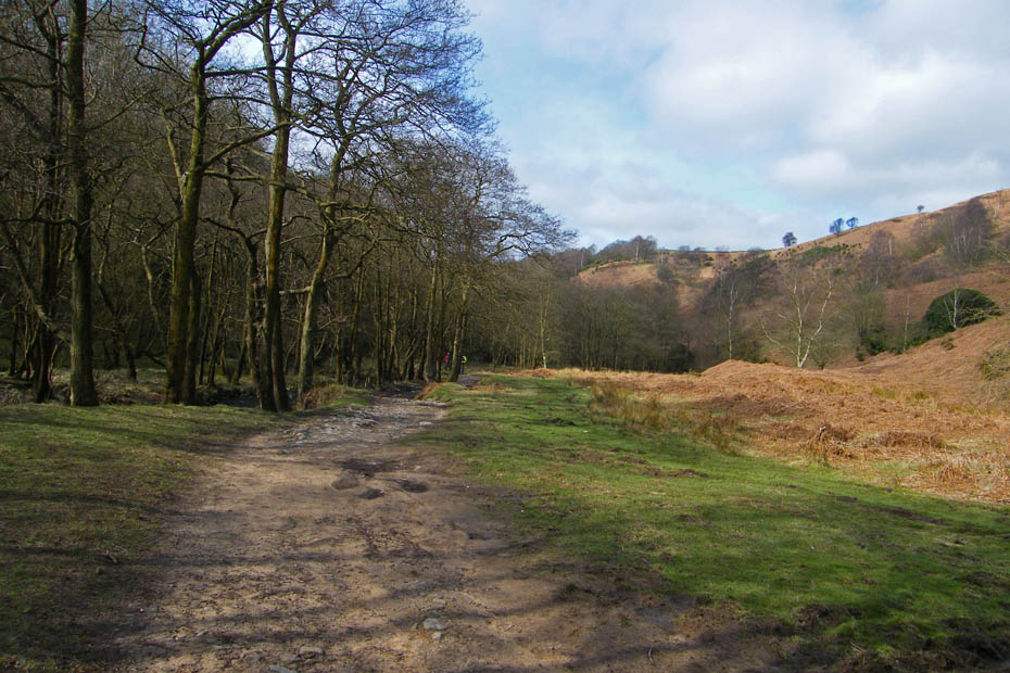
From the summit we headed Ne'ly towards Fell End farm
Our path would lead us down to a bridleway just short of the farm.
At the bridleway we would turn right down Grize Dale.
The bridleway at first runs alongside Grizedale Reservoir but it is mainly hidden by trees
Just a glimpse of the dam wall as we pass.
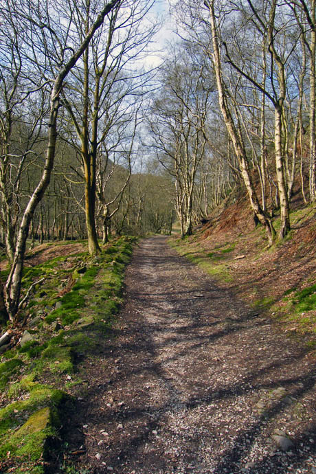
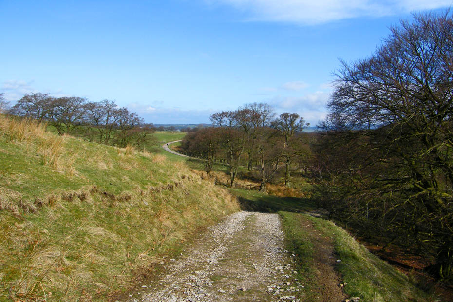
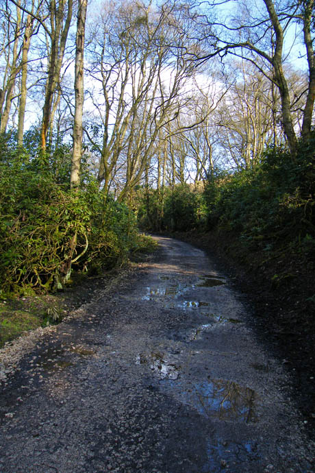
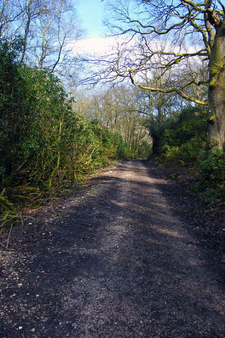
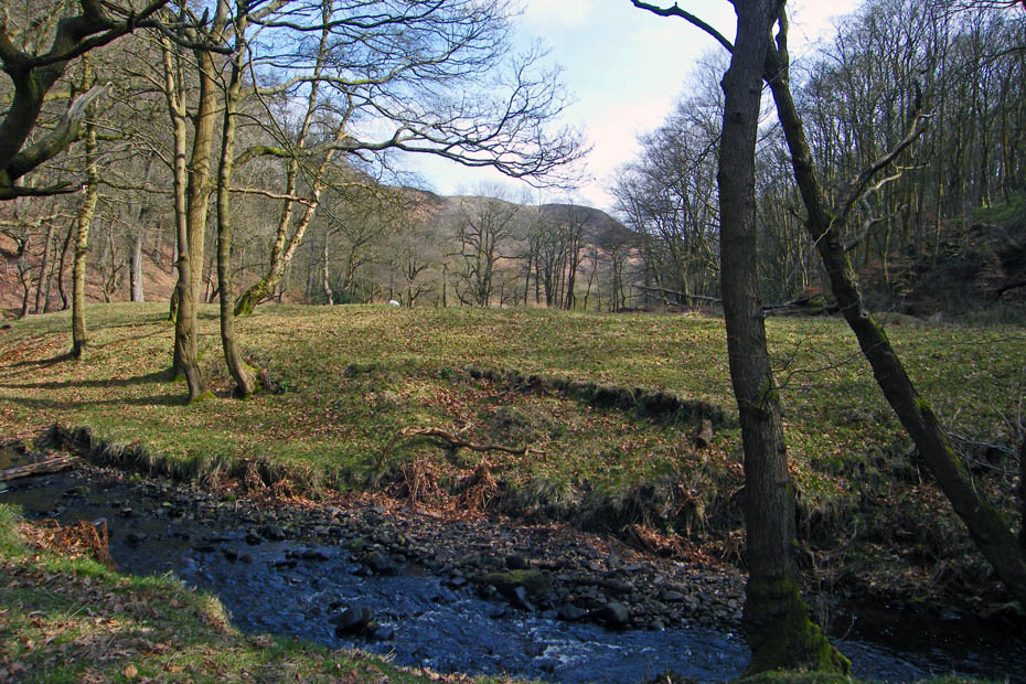
Once below the reservoir the bridleway descends and passes through Peddar's Wood
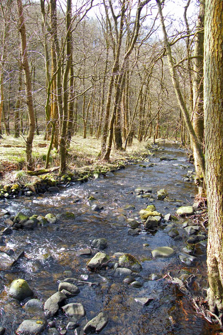
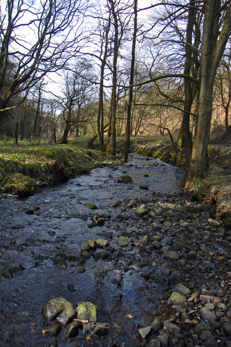
For awhile it follows the brook which flows down to join the River Wyre.
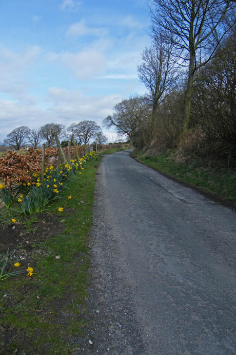
Eventually we joined a minor road which returned us to Scorton.
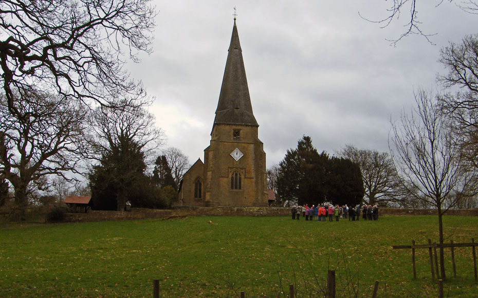
where an outdoor service was in progress at the Parish Church.
Next Walk: 4th April 2010 - Yorkshire Dales (W) - Cam End & Ling Gill walkabout
Last Walk: 1st April 2010 - Arnside & Silverdale AONB - Arnside Knott
Do you have a Facebook or Twitter account. We post regular updates on both. Just click on either of the links below.
![]()

We hope you have enjoyed viewing this walk. If you have any comments please sign our Guestbook or E_Mail us.
