
| Area: | Yorkshire Dales (W) | Ascent: | 960feet |
| Walk No: | 371 | Time: | 3hours 45minutes |
| Date: | 4th April 2010 | Parking: | Near Ribblehead |
| Distance: | 8.25miles | Weather: | Fine but overcast at start with showers of hail, sleet and rain later |
| Route: |
For those of you that are thinking of going onto the hills I would strongly recommend that you read the advice given by the Mountain Rescue organisation of England and Wales. To read this advice, which will open in a new page please click HERE. If you would like to make a donation to the Mountain Rescue organisation which is purely voluntary please click HERE. Please make the time to read the advice page.
On what was supposed to be the best day of the Easter weekend we arrived at Ribblehead with the tops of Ingleborough and Whernside hidden in cloud. This was no problem for us however as our route would be well below the summits. After a walk up the road towards Hawes we took the track of the Dales Way to Cam End. From there we headed southwards along the Pennine Way first to Ling Gill Bridge and then to Old Ing where we picked up the track of the Yorkshire Dales 3 Peaks walk which returned us to Ribblehead. Not the best of days but despite this I enjoyed it very much particularly so when I realised that we had done the walk in the same time as a previous visit in 2008 before my breathing problems.
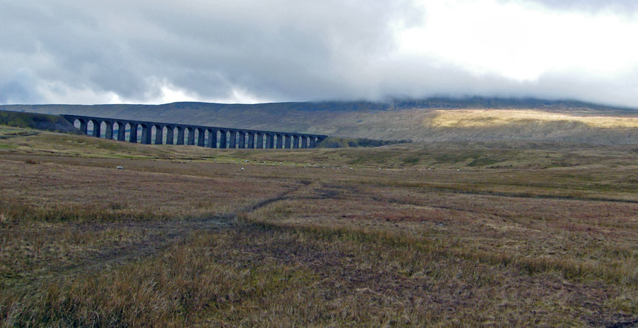
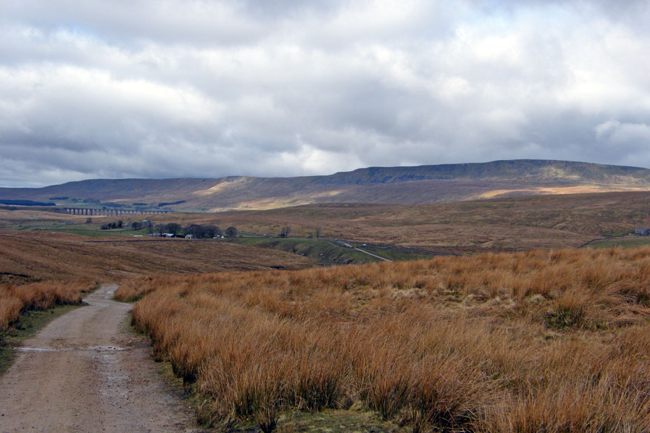
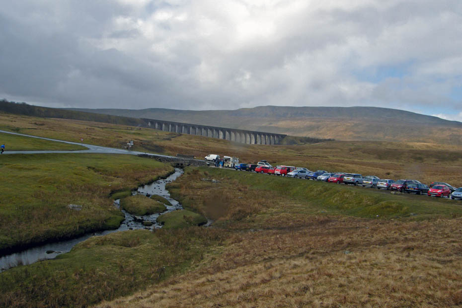
Ribblehead and a cloud topped Whernside from where we parked the car.
The first section of the walk was along the road towards Hawes. Pen y ghent is also in cloud at this point.
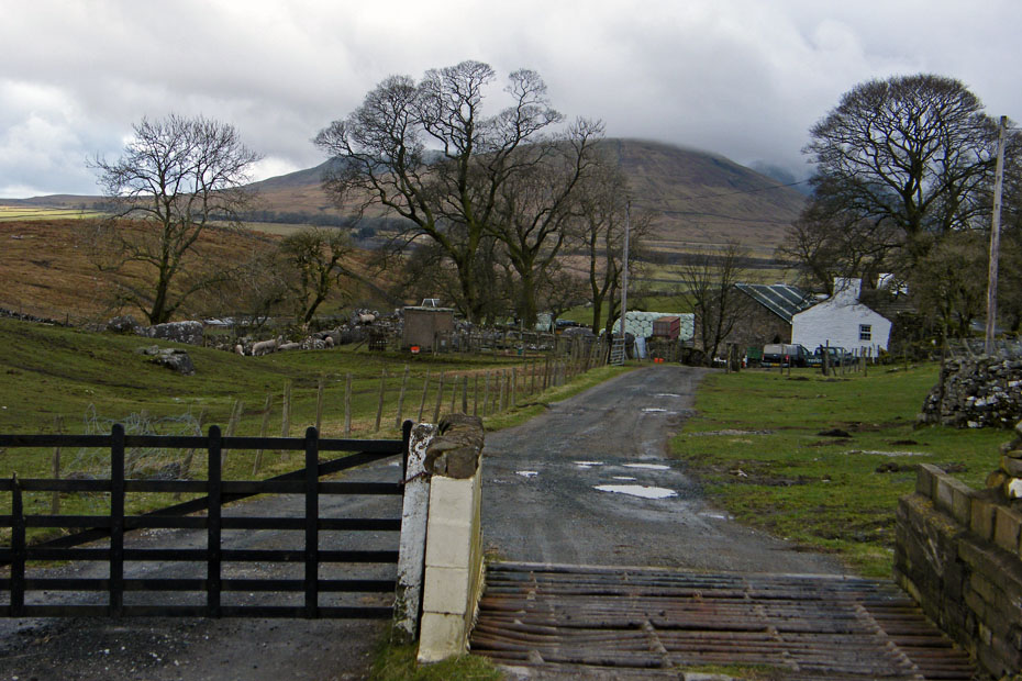
The farmer was in the fields near Gearstones checking on the sheep and lambs.
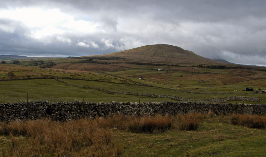
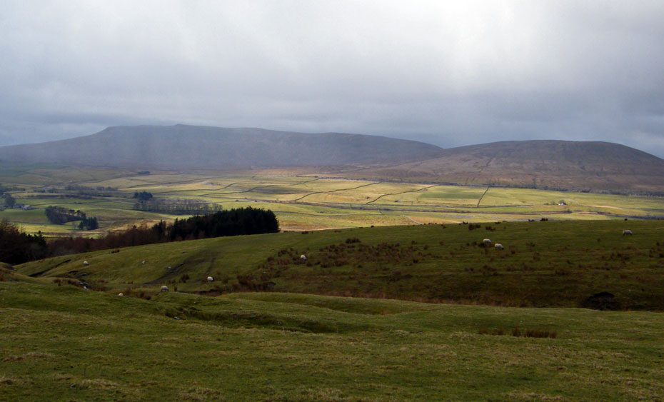
A look back to Park Fell the northernmost end of Ingleborough.
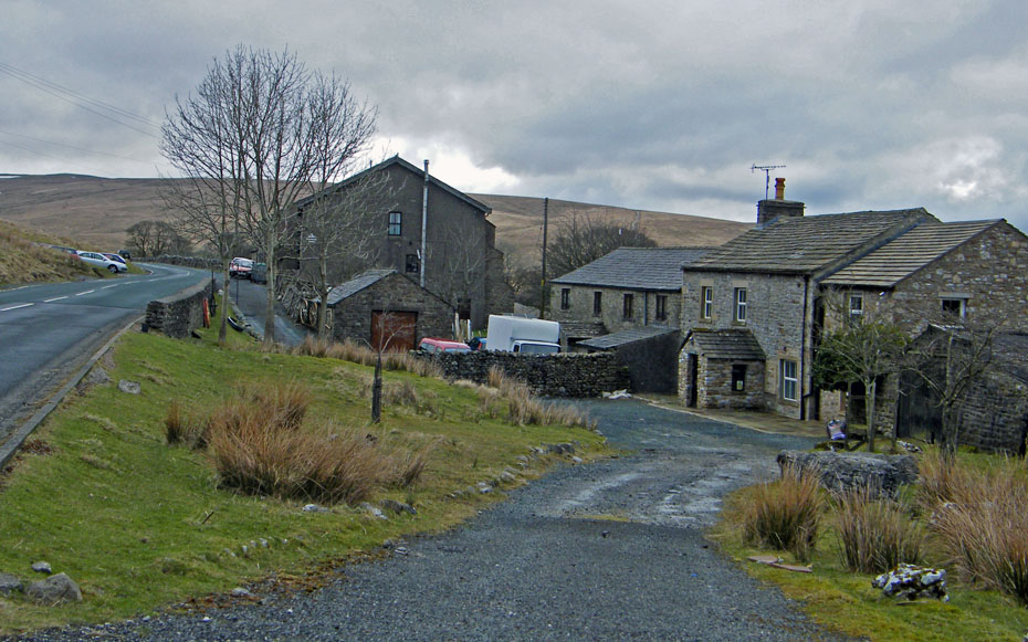
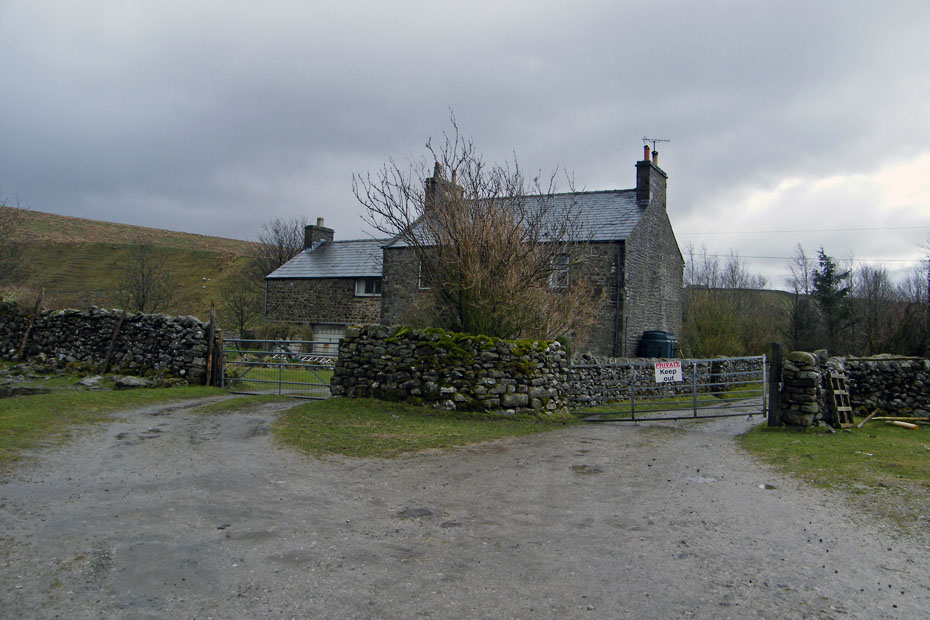
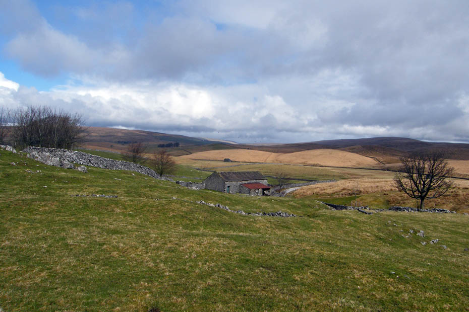
Gearstones
The road walking is almost done as we pass Far Gearstones farm.
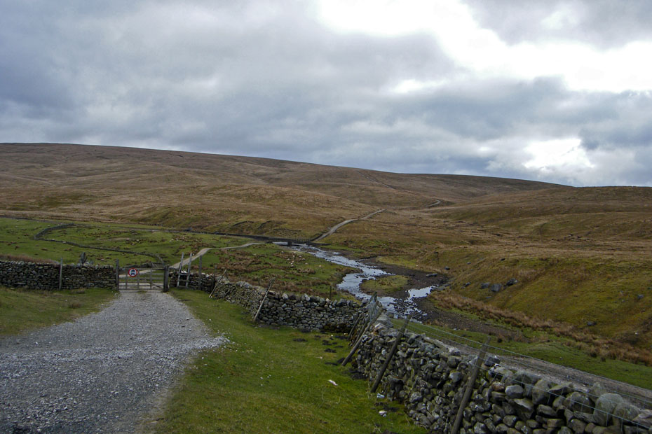
Our next section will take us across Gayle Beck which is the infant River Ribble and along the Dales Way to Cam End where it meets the Pennine Way.
An unusual view of Ingleborough as we walk down to the footbridge.
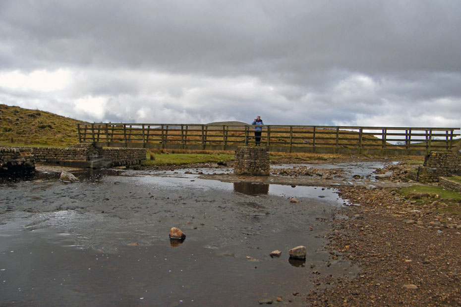
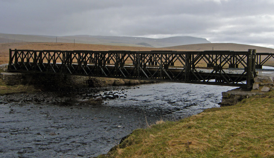
Crossing Gayle Beck.
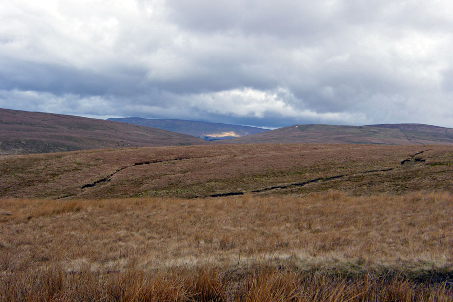
As we make our way along the Dales Way the eastern leg of Simon Fell on Ingleborough opens up. This section of the route is marked as a Roman Road on the OS Map and will turn north and east to eventually reach the Roman Fort of Virosidvm at Bainbridge in Wensleydale.
Getting higher now and the cloud as left Whernside.
It is difficult from this angle to see if it is clear on Ingleborough as the flat plateau only just shows
Higher...
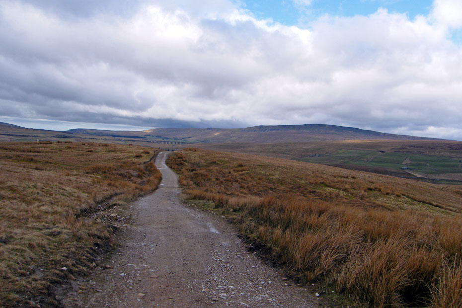
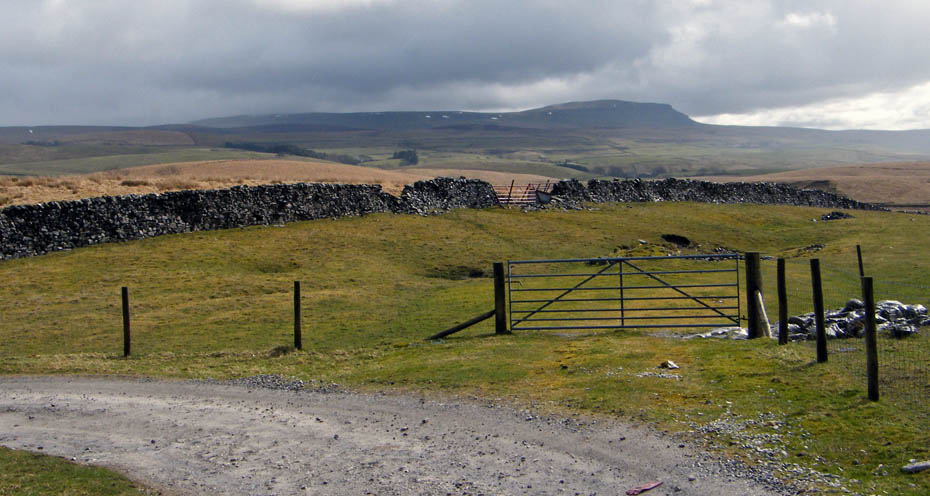
And higher until we finally reach Cam End and the junction with the Pennine way.
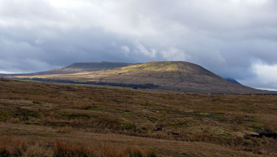
and Ingleborough is clear of cloud
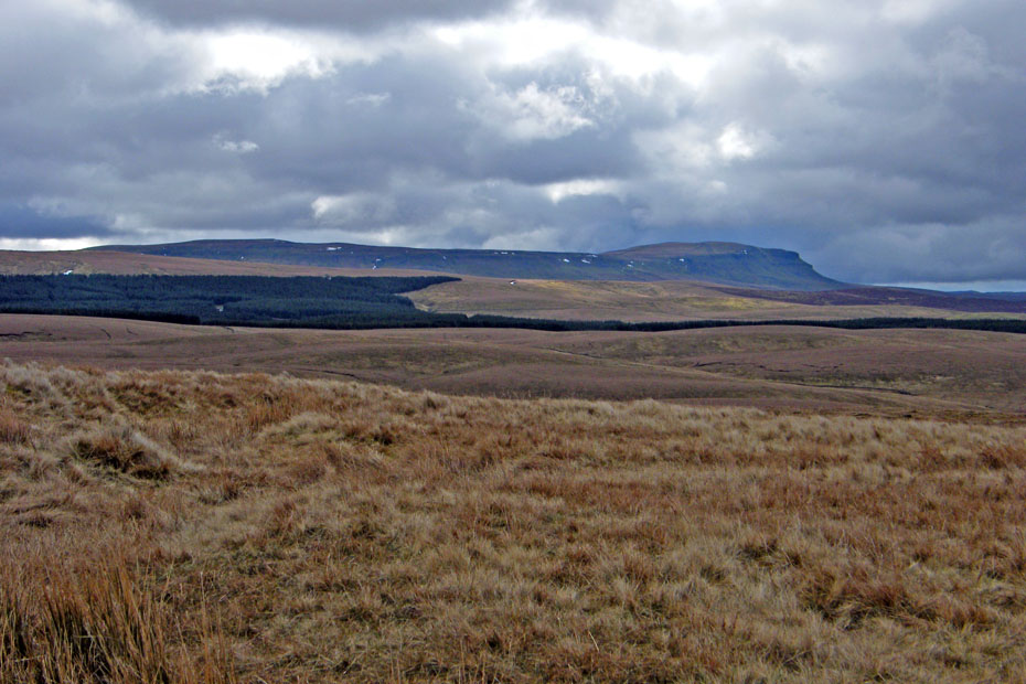
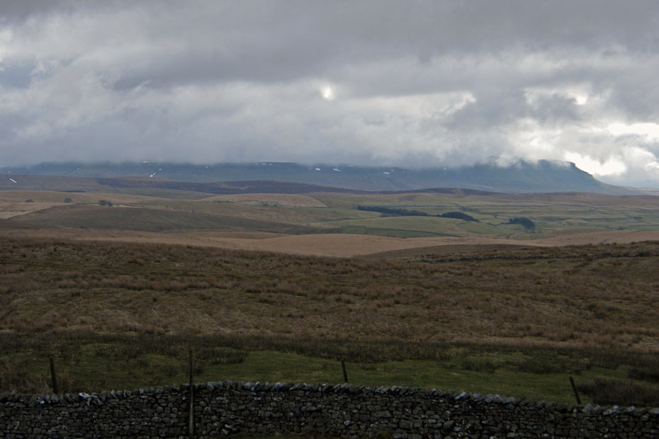
As is Pen y ghent and Plover Hill
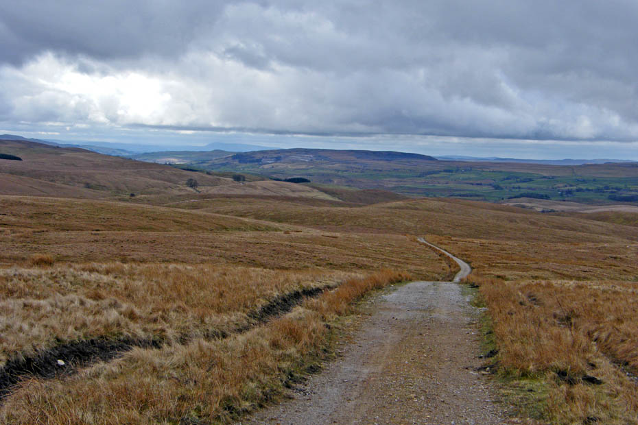
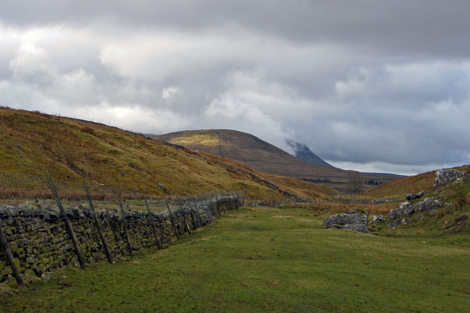
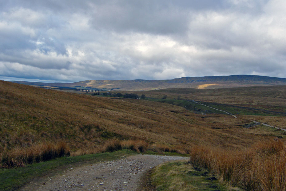
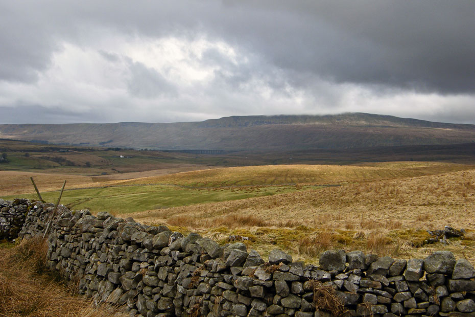
Having got up it's time to drop back down southwards along the Pennine Way with Pendle Hill just visible in the distance.
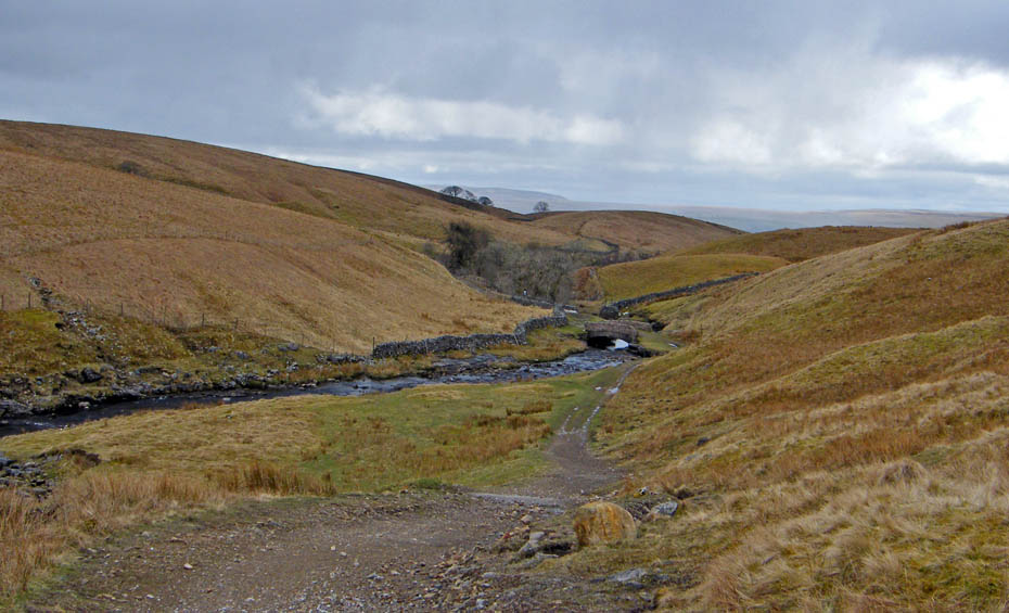
Approaching Ling Gill
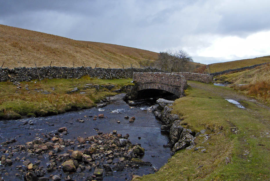
The delightful Ling Gill Bridge which according to AW marks the boundary from limestone to peat moorland. An inscription on the bridge reads "Anno 1768 This bridge was repaired at the charge of the whole West Riding"......Old and important then!
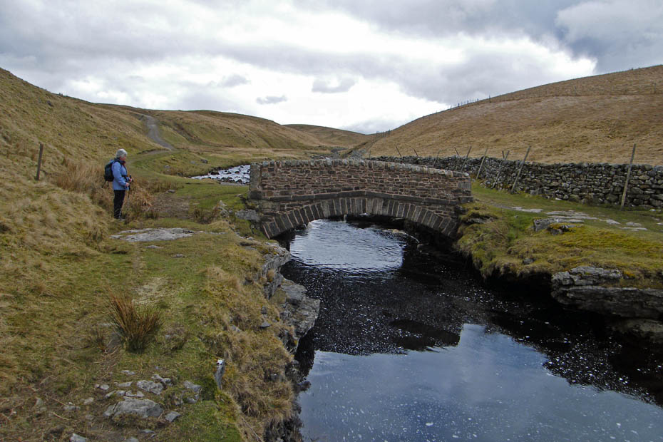
Below the bridge is a nature reserve maintained by Natural England. It is currently closed probably because it is steep sided and unsafe.
Having crossed the bridge we continued along the Pennine Way. By now the day was changing, the clouds were dowjn again over Whernside and there were showers of hail, sleet and rain about.
But it wasn't all gloom, there was some sun as well
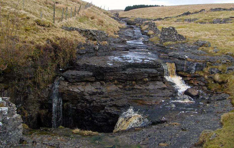
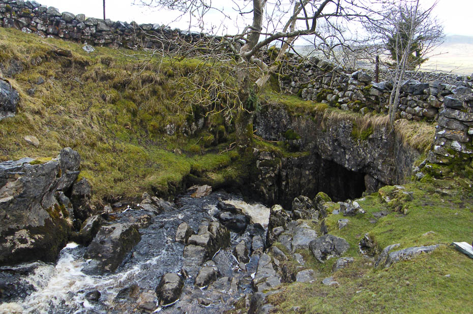
Just above Old Ing this stream just disappears underground.
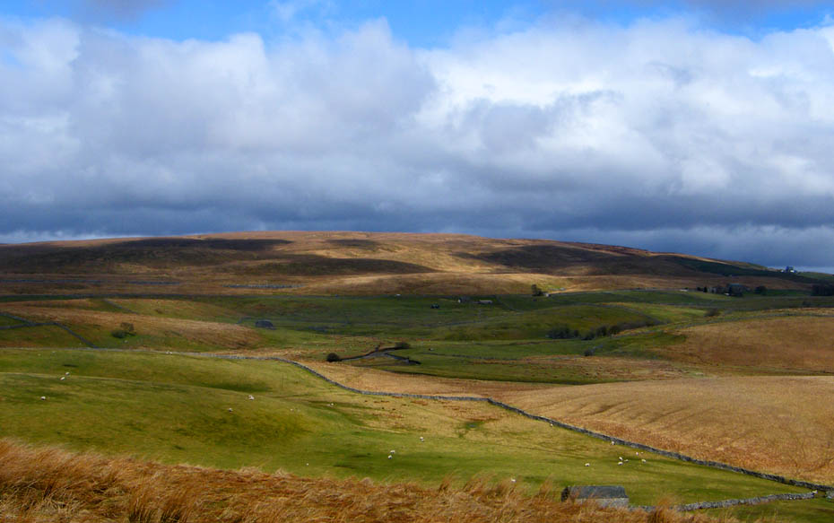
Sunshine & showers over Ingleborough
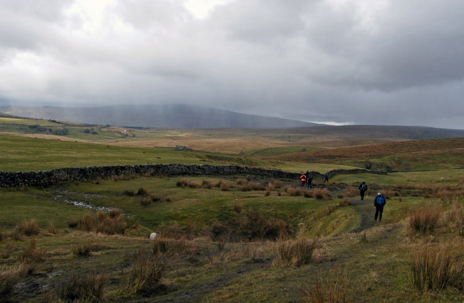
Up to Old Ing we hadn't seen a soul but now on the Yorkshire Dales 3 Peaks route this changes as the showers make the already muddy paths rather interesting in places.
God's Bridge over Brow Gill beck.
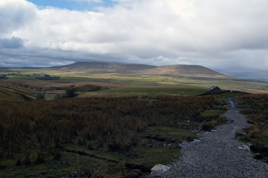
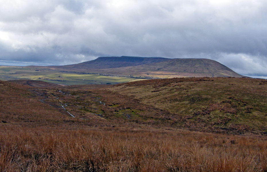
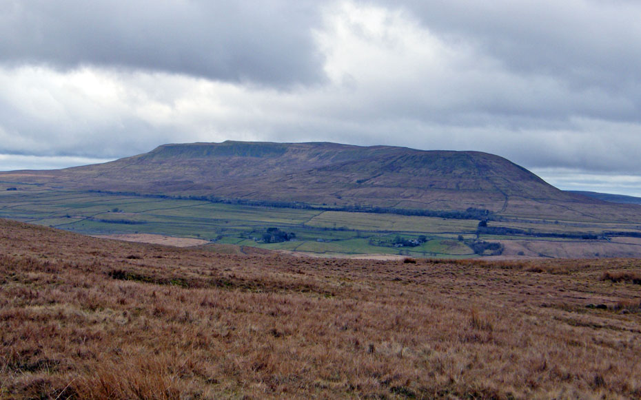
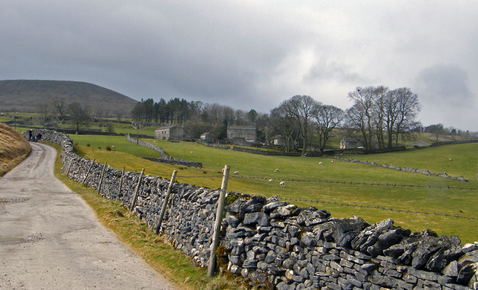
It's fine again and we are on a better stretch of path heading for Nether Lodge with Ingleborough ahead.
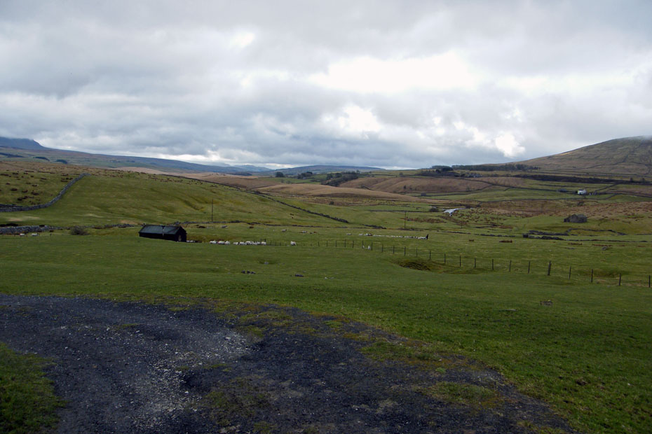
Nether Lodge
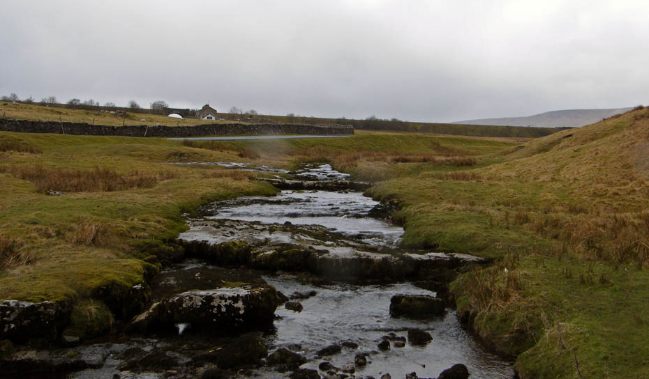
More showers as we cross the infant River Ribble
A rising lane to Lodge Hall
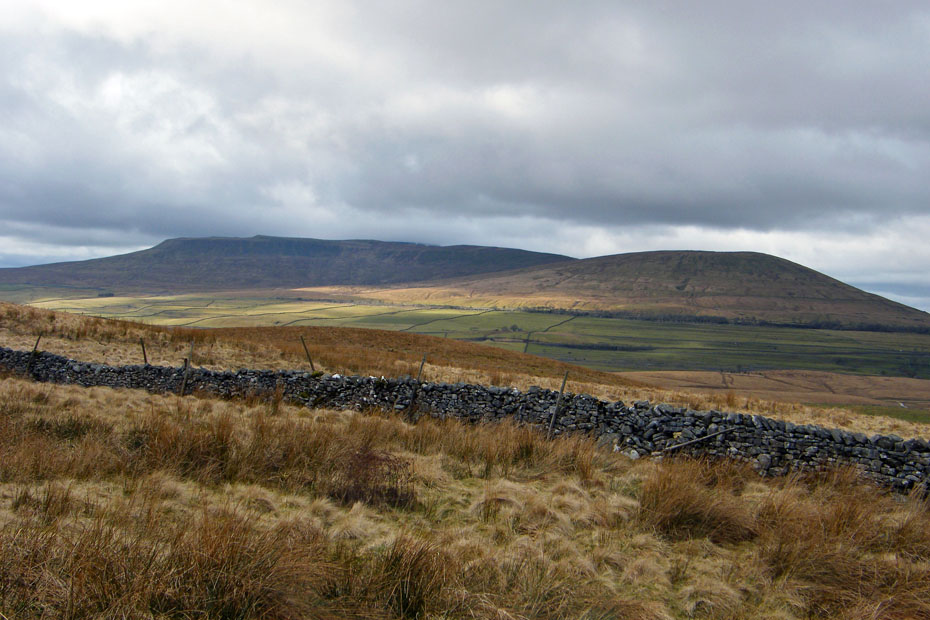
A look back to Pen y ghent
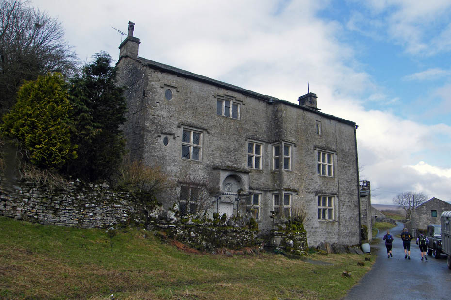
Lodge Hall or Ingman Lodge
As we made our way bsck to Ribblehead along the road there was a mixture of sunshine and showers
And finally, Ribblehead and Whernside from Sandy Hill as we made our way back to the car.
Next Walk: 7th April 2010 - Lake District - Great & Little Langdale
Last Walk: 2nd April 2010 - Forest of Bowland - Nicky Nook
Do you have a Facebook or Twitter account. We post regular updates on both. Just click on either of the links below.
![]()

We hope you have enjoyed viewing this walk. If you have any comments please sign our Guestbook or E_Mail us.
