
| Area: | Lake District | Ascent: | 1500 feet |
| Walk No: | 410 | Time: | 5 hours |
| Date: | 22nd June 2010 | Parking: | Birker Fell road (SD172975) |
| Distance: | 6.00 miles | Weather: | Very dull with low cloud to start becoming sunny but poor views |
| Route: |
For those of you that are thinking of going onto the hills I would strongly recommend that you read the advice given by the Mountain Rescue organisation of England and Wales. To read this advice, which will open in a new page please click HERE. If you would like to make a donation to the Mountain Rescue organisation which is purely voluntary please click HERE. Please make the time to read the advice page.
As this was to be our 80th walk of 2010 I wanted to pick one which offered good walking with decent views. In the event I only succeeded on the first count. The walking even over areas that are usually a little "damp" was good after the recent try dry spell but the weather let us down somewhat. We left home in brilliant sunshine with blue skies but I could see that this was not the case with South Lakeland as we travelled along the promenade. However the weatherman on Radio Cumbria was saying that it would quickly improve and the whole of Lakeland would be bathed in glorious sunshine soon. We were parked up on the Birker Fell road near Devoke Water around 8:30am and set off straight away. The day did improve and we were walking in glorious sunshine for the majority of the walk but sadly the clouds and haze towards Scafell didn't clear as much as I had hoped.
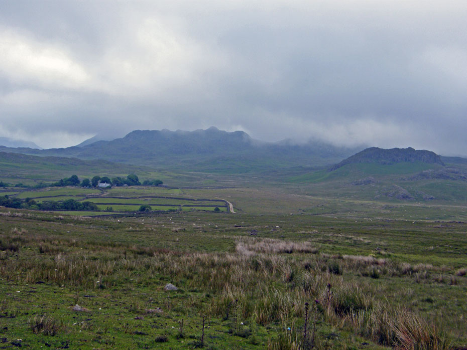
We parked on the Birker Fell road a couple of hundred yards short of the track to Devoke Water and walked down to it. Even Green Grag was being brushed by the low cloud at this point.
We walked along the Devoke Water lane a very short distance and just after passing through an open gate took a path that heads towards Rough Crag.
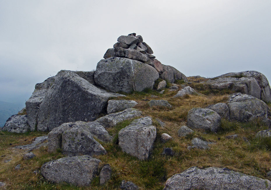
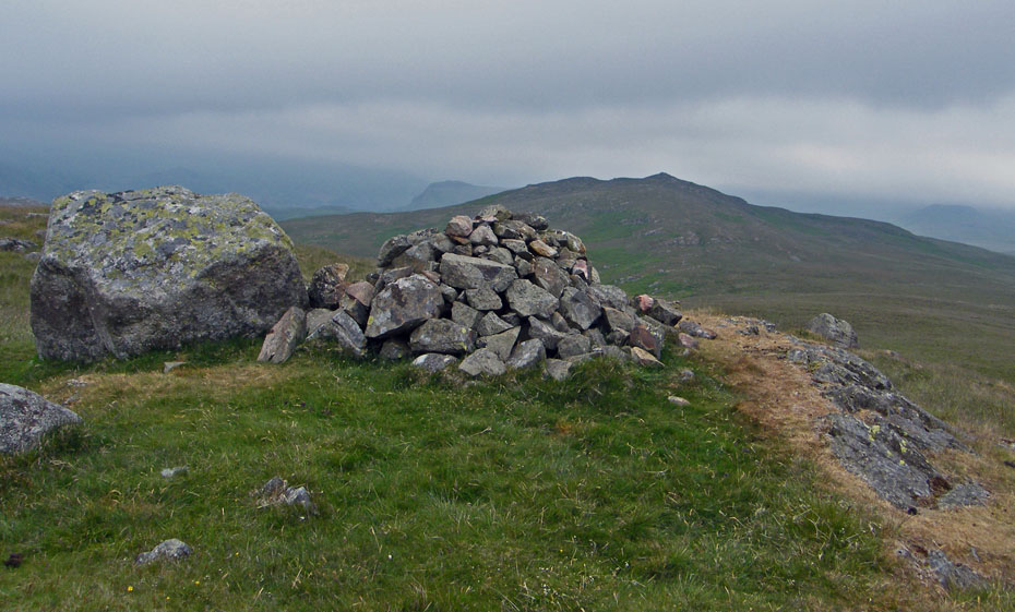
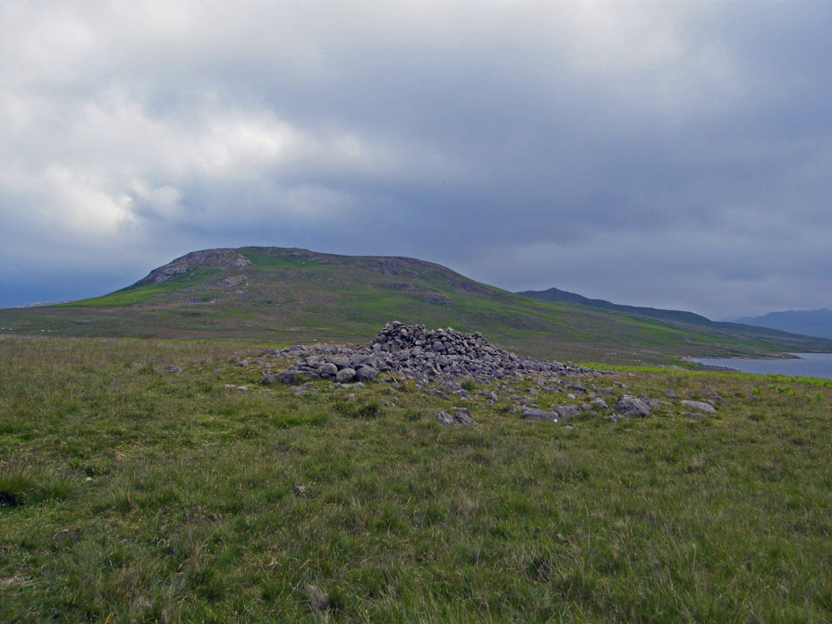
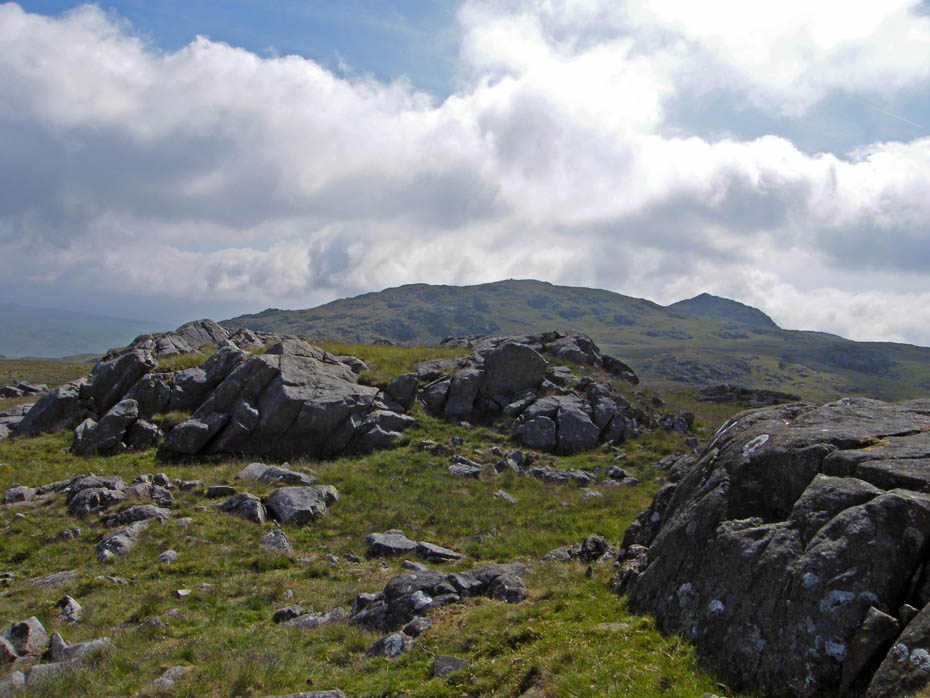
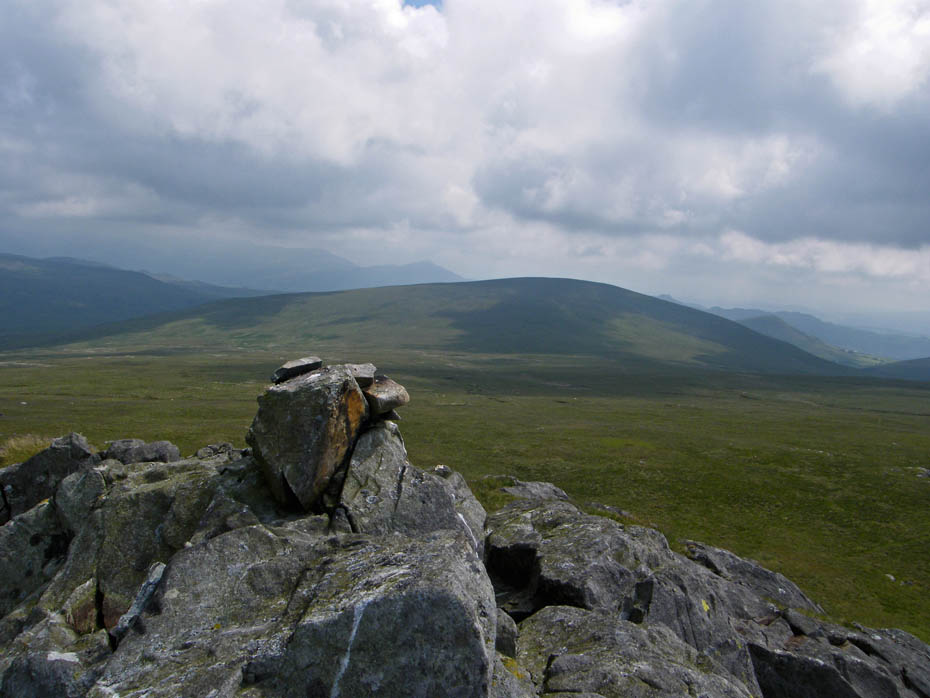
Rough Crag summit cairn.
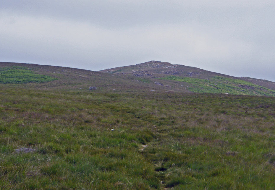
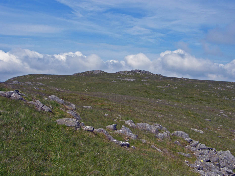
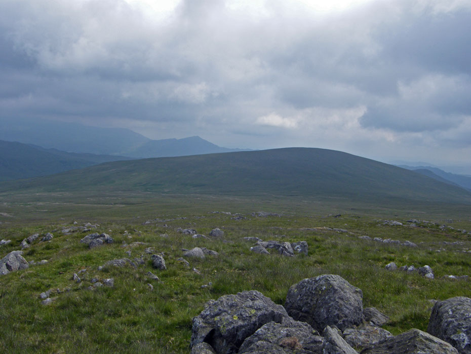
Our next objective lies straight ahead, Water Crag. The dip between can be a bit "damp" but after no rain for weeks it wasn't any problem today.
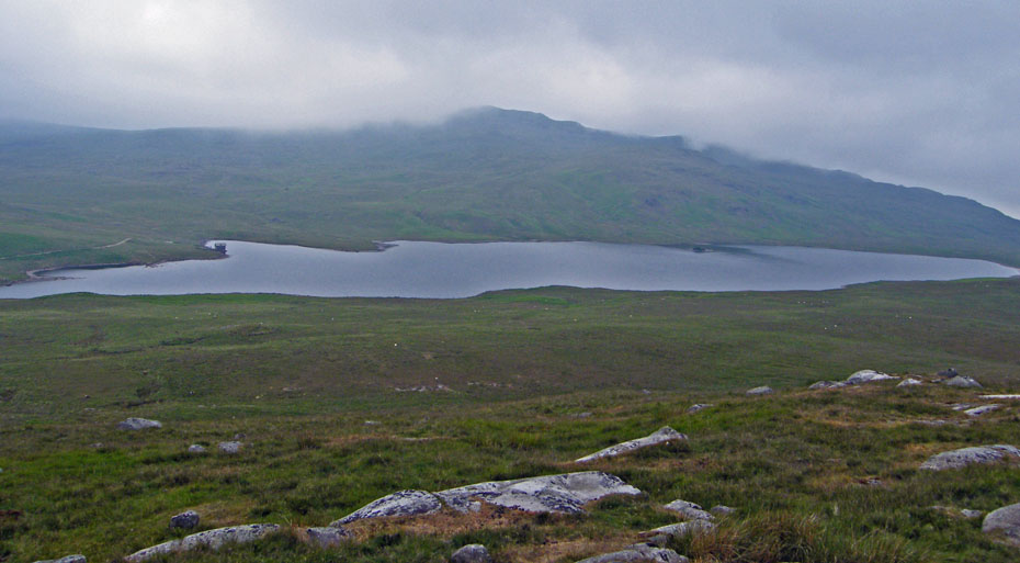
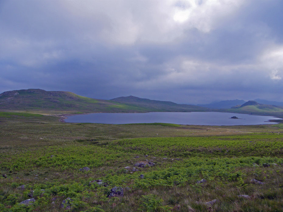
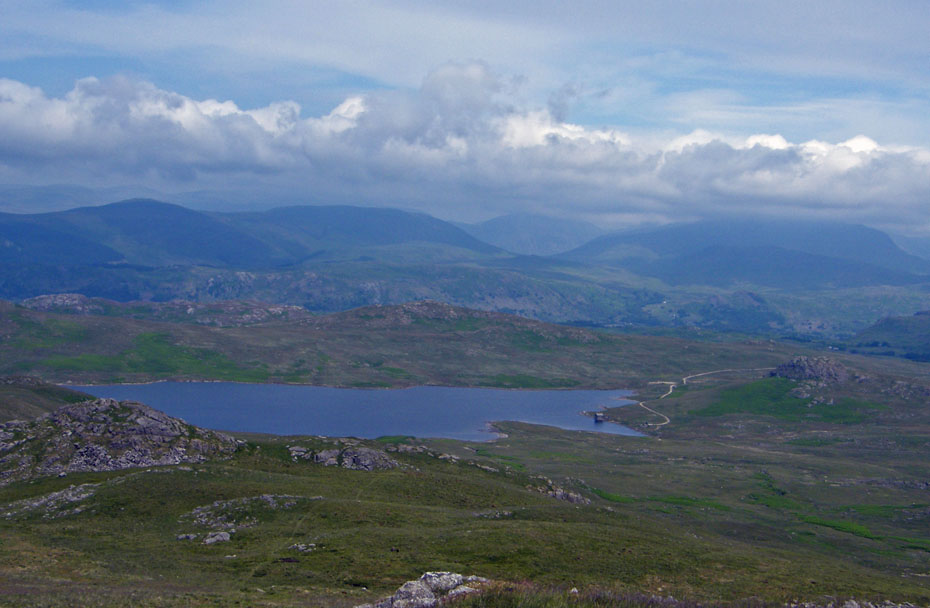
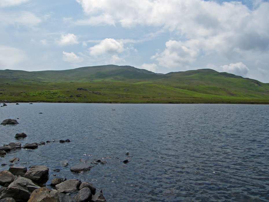
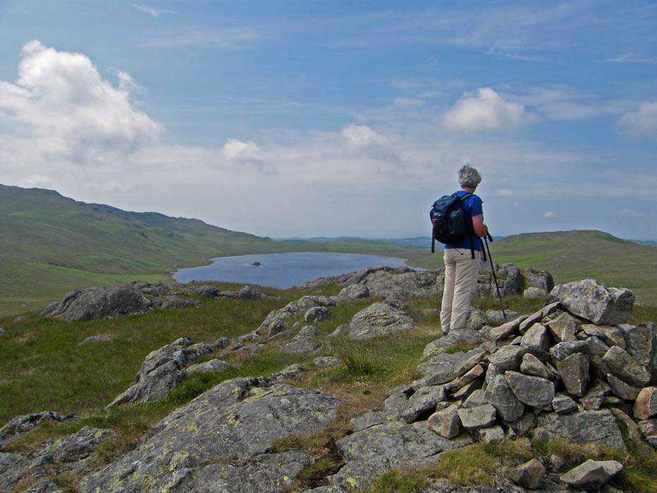
A look across Devoke Water to where our other summits are.....I hope.
Water Crag cairn.
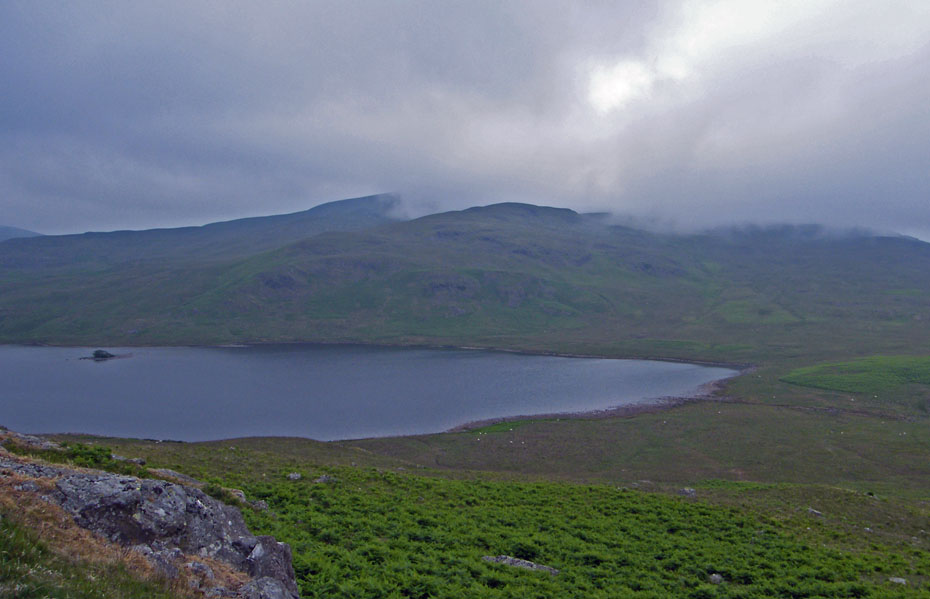
As we start the descent from Water Crag it does look to be brightening to the south.
Definitely getting better! Edith had no problems today crossing the outlet beck from Devoke Water, it was just a case of walking across a few dry stones.
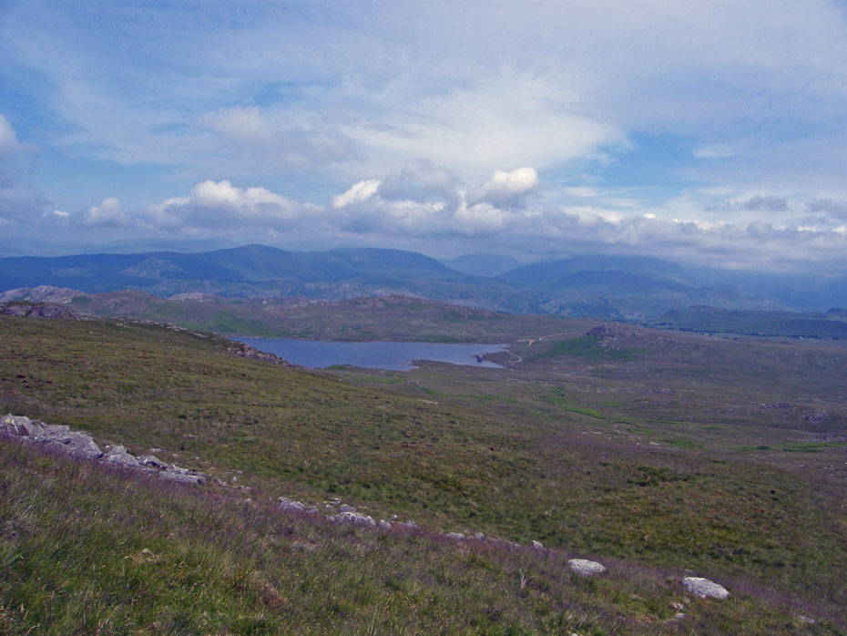
Looking back to Water Crag over one of the ancient cairns that litter the area. We spent a little time investigating the area.
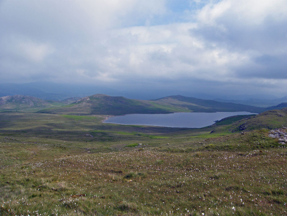
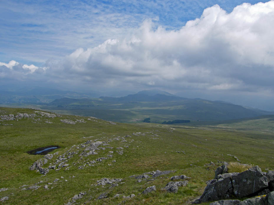
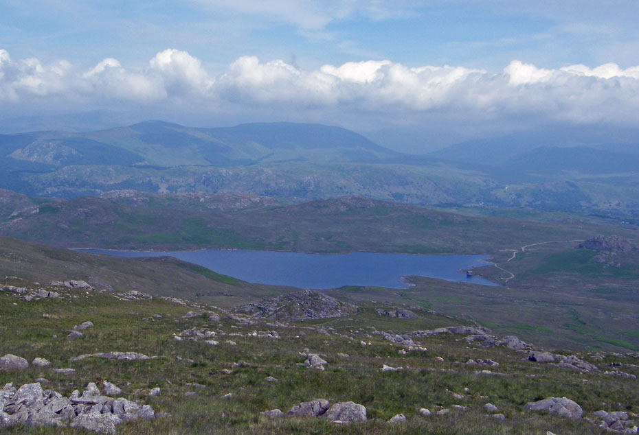
We started our ascent of White Pike a little further to the west of what AW says. Our way was trackless until we got further along the ridge. Here we are looking along Devoke Water with Water Crag & Rough Crag to the left and Seat How at the far end.
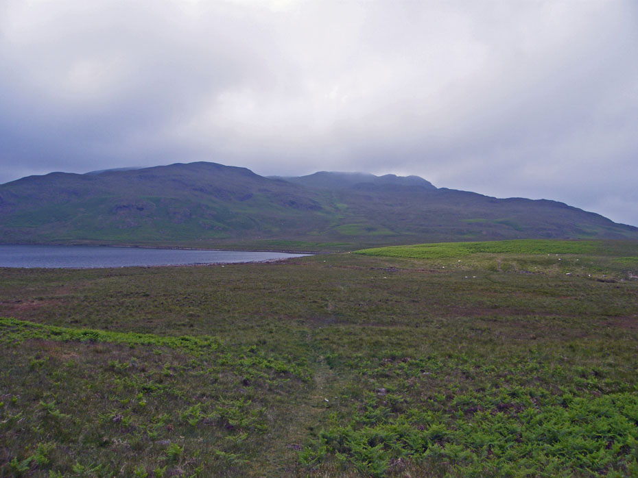
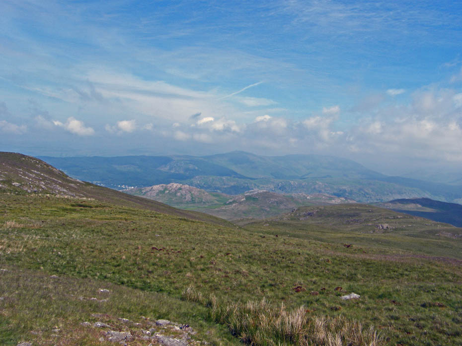
It is just starting to brighten to our north. You can just make out the ridge of Whin Rigg through the murk.
And a few minutes lated we were bathed in very warm sunshine and hoping that the views would get even better.
White Pike summit where a "buttie stop" was taken.
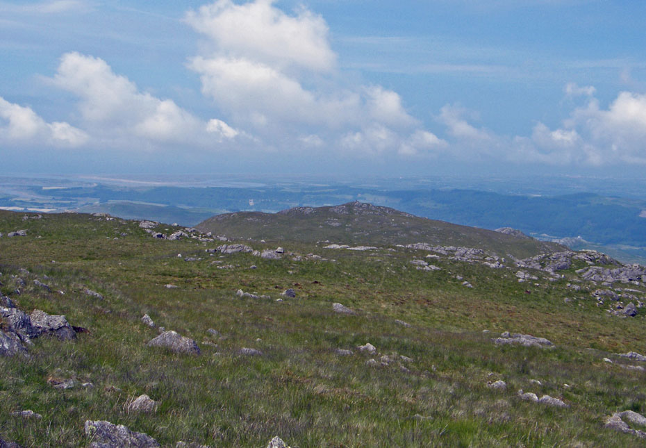
Looking south to Stainton Pike
Isle of Man!!!!......we could barely see the coastline.
Nevertheless it was smashing just sat here in warm sunshine.
Time to move on. We'll go to Yoadcastle and Woodend Height and hope it clears along the way.
A look back to White Pike as we walk across to Yoadcastle.
The Whin Rigg - Illgill Head ridge is clearer now
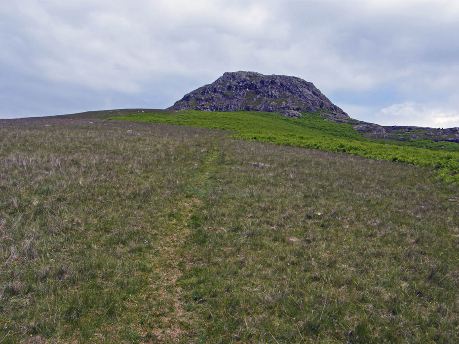
Yoadcastle ahead.....scramble or walk, there are lots of choices.
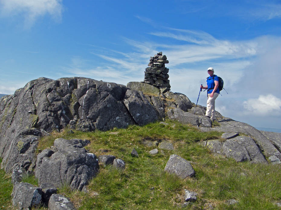
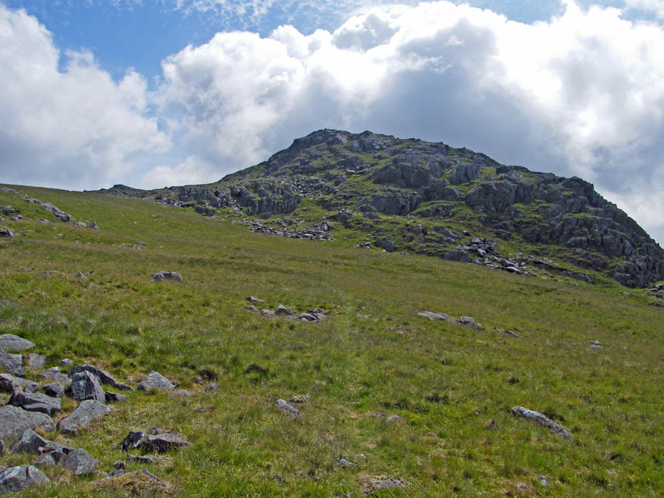
Yoadcastle summit with Hesk Fell behind.
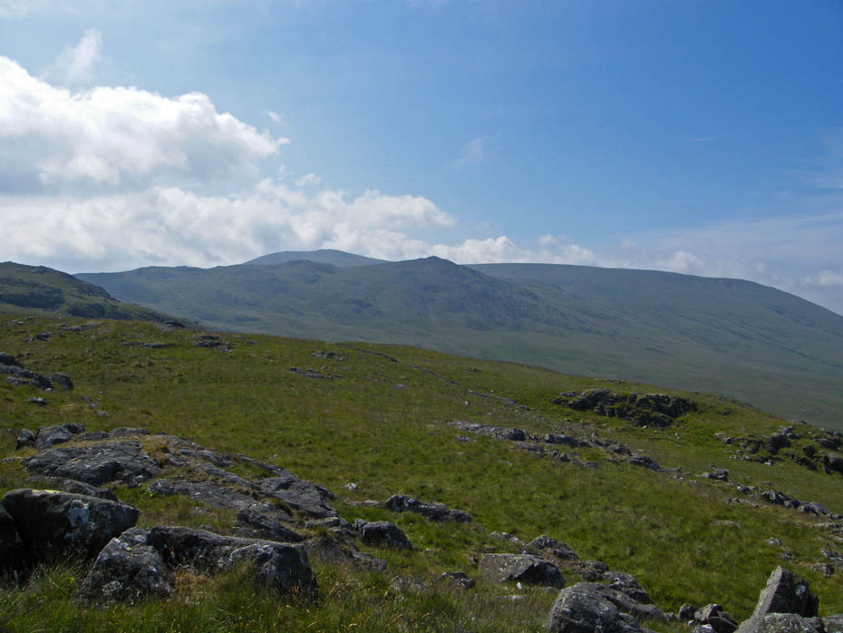
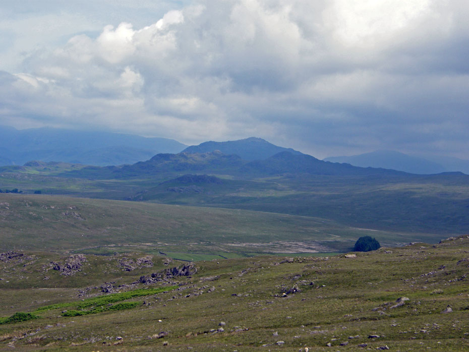
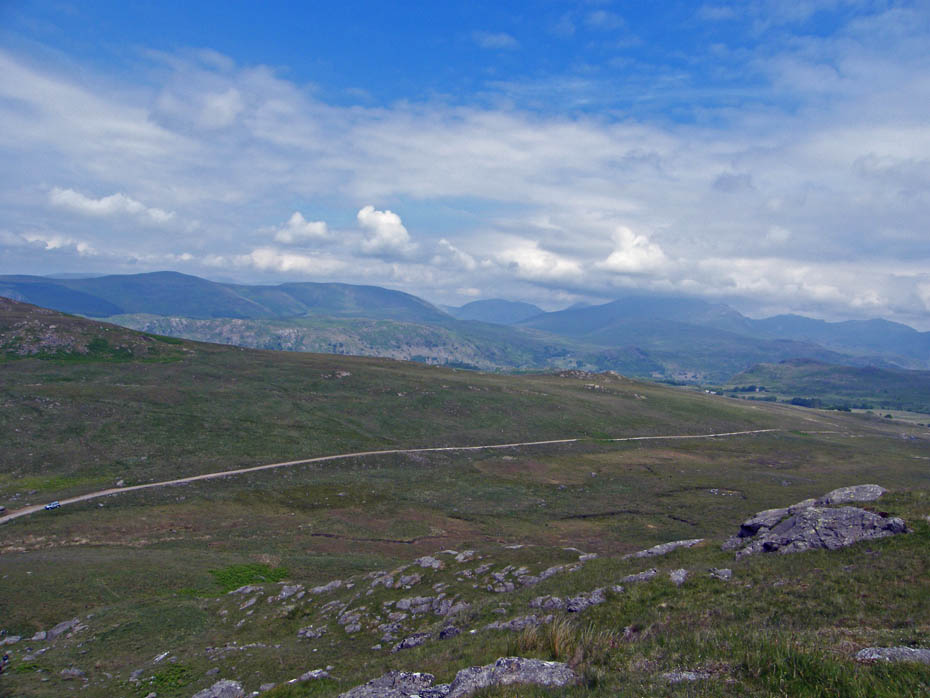
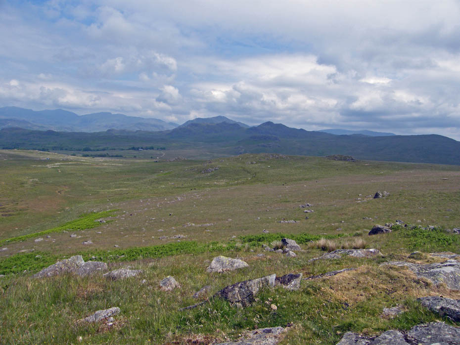
A not too distant but very murky Green Crag with an even murkier Harter Fell behind.
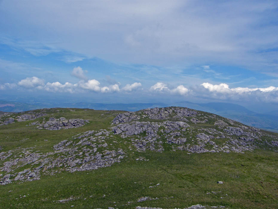
Woodend Height
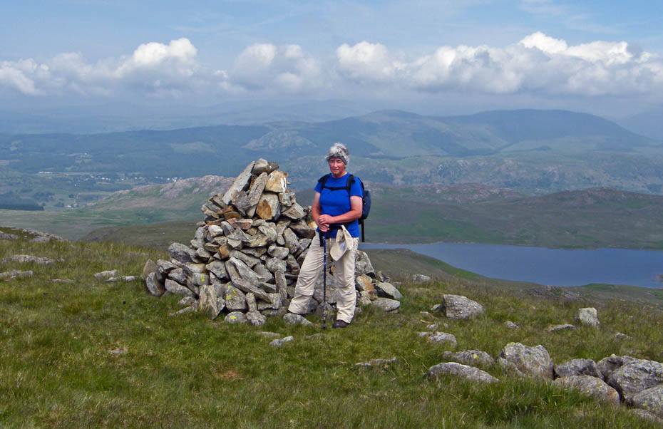
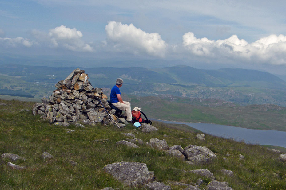
Woodend Height summit cairn. It was very warm by now but that murk refused to budge. We decided to take a break and wait a short while.
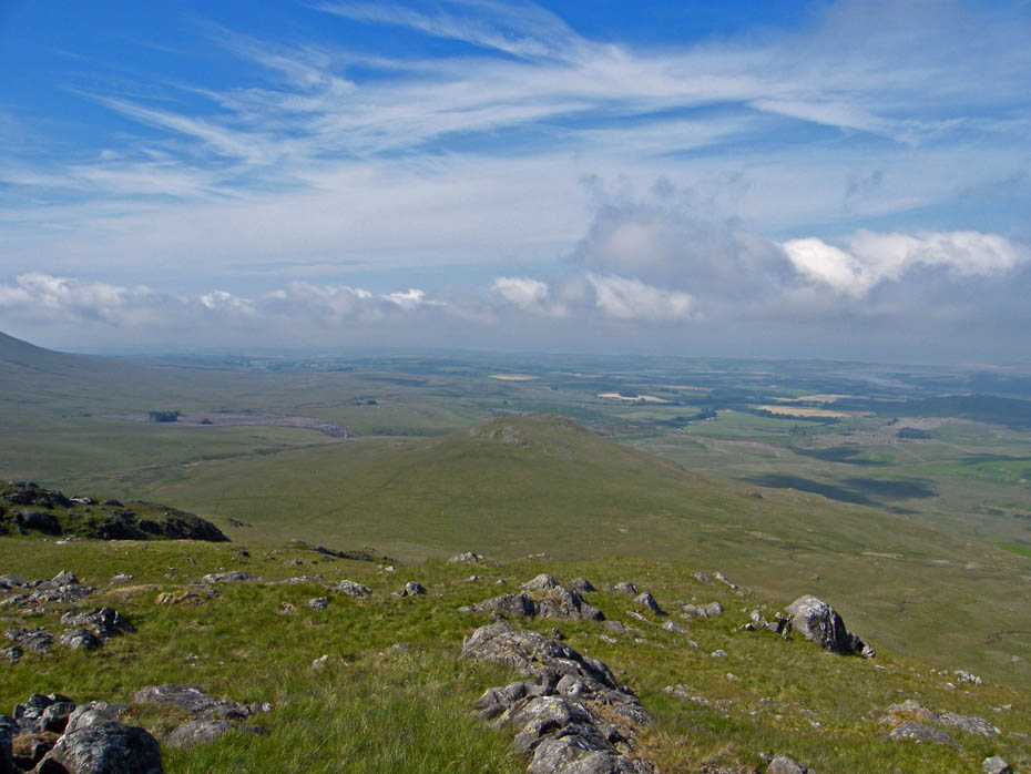
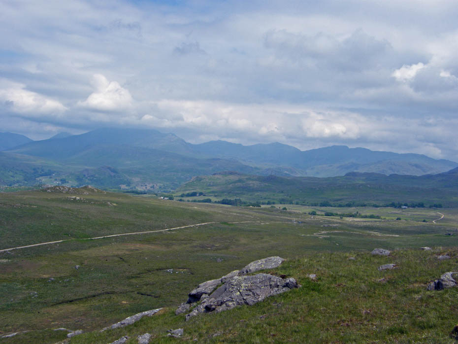
This is about as good as it got.
All downhill now!
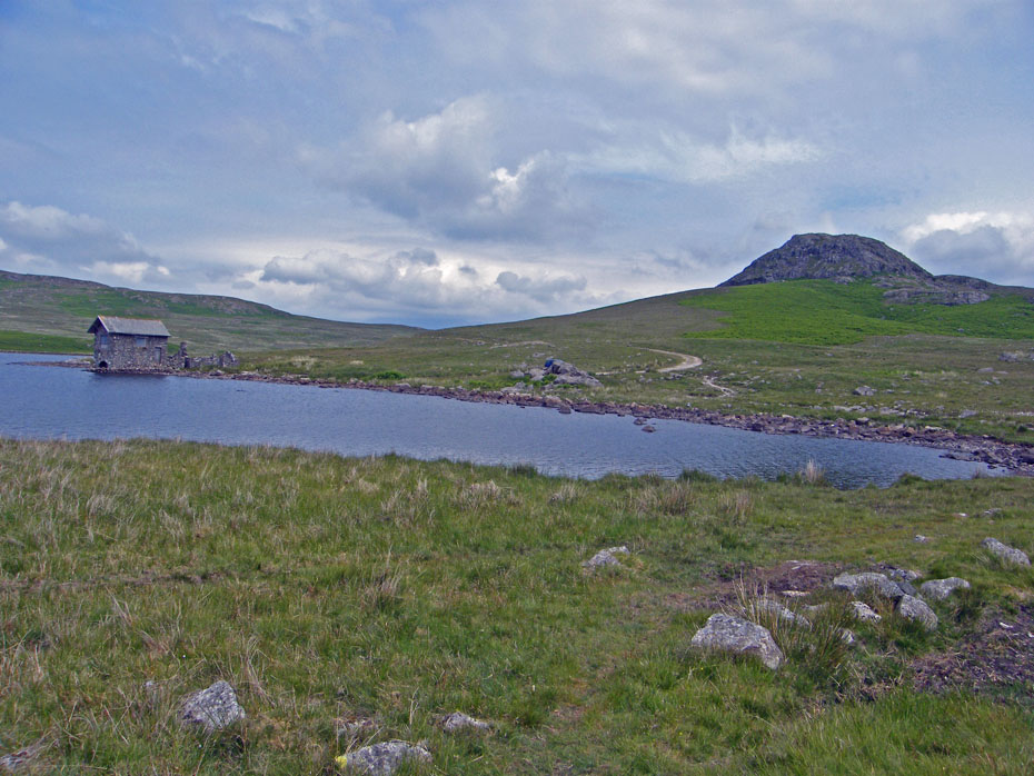
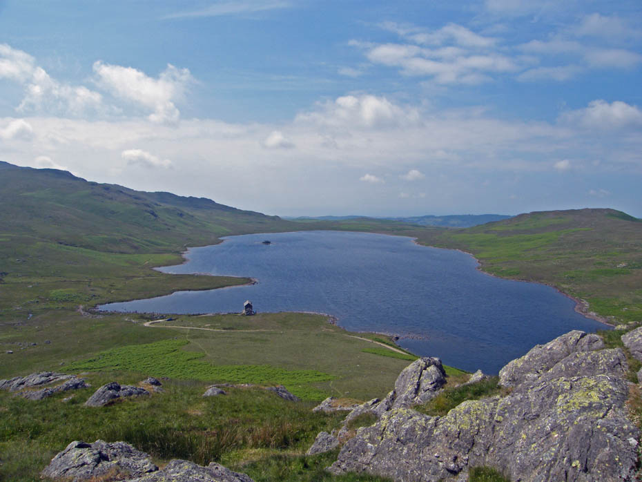
Down at Devoke Water
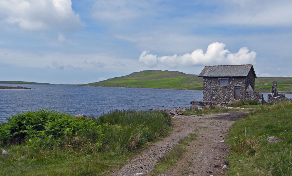
There is an old two storey boathouse cum refuge along with a ruined stable block on the shore of the tarn.
This is where it got a little tricky. Edith had assumed that we would be returning to the car by the lane and not over Seat How. However after assurances that it involved only a little more ascent and that our route back was along the ridge behind it anyway all was calm.
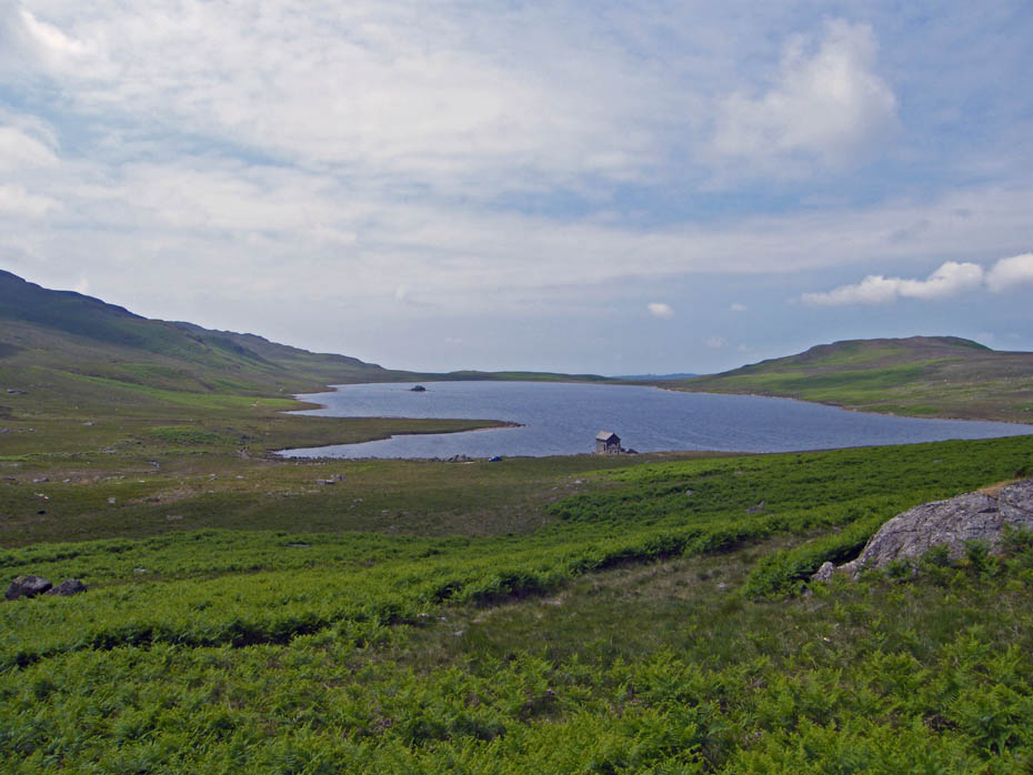
Opening views. Once again getting to the top of Seat How can be made as "interesting" as you like.
A reluctant admission along the lines of "Yes, the views from here are good, but we've been here lots of times and you never mentioned this one today"
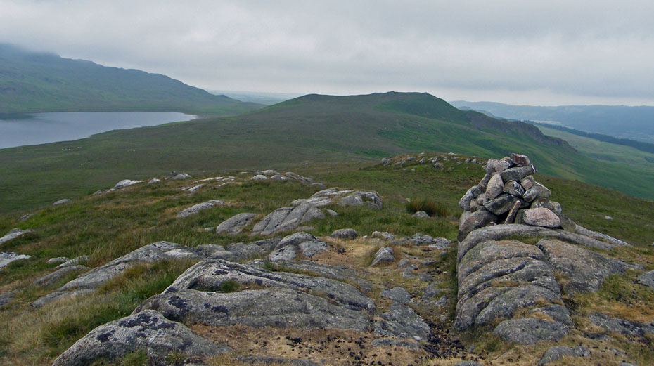
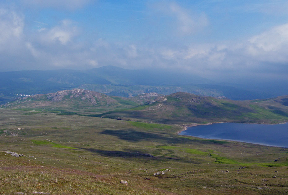
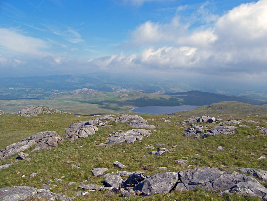
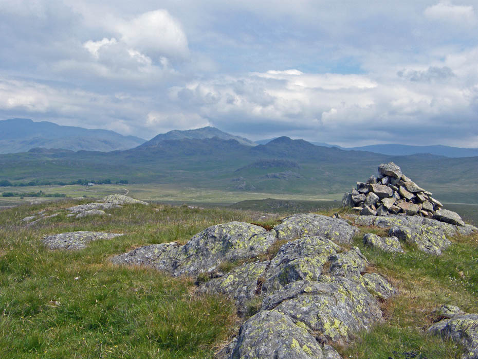
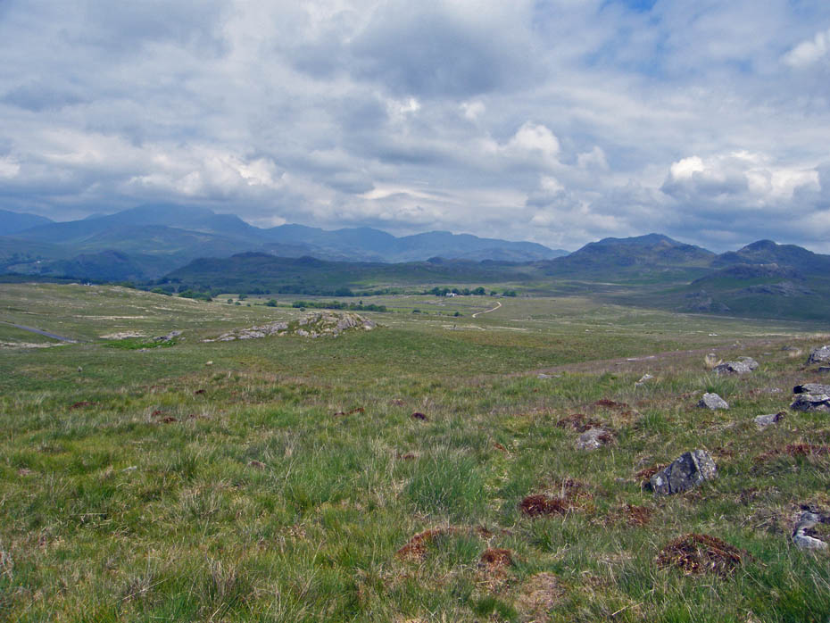
Probably the best it had been all day as Scafell nearly clears the cloud
Having descended the eastern side, which is the easiest way our route is now heading towards Harter Fell staying just below the top of the ridge. It's far better than the access road.
The car should be just below that la'al knoll
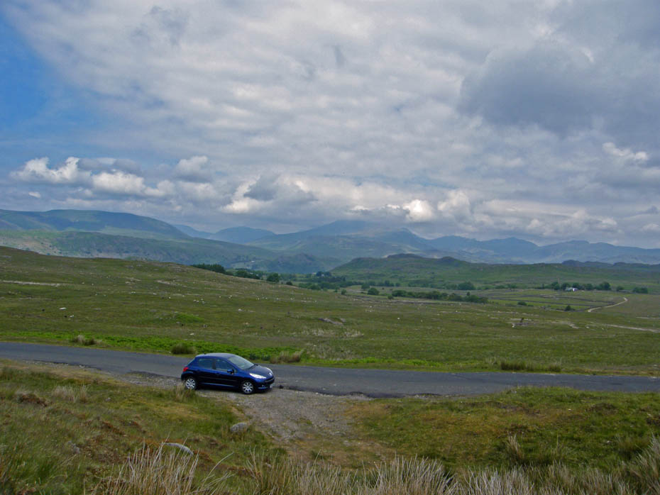
And finally....more by good luck than judgement here it is.
Next Walk: 25th June 2010 - Lake District - A Troutbeck wander
Last Walk: 20th June 2010 - Lake District - Coniston Water & Torver Back Common
Do you have a Facebook or Twitter account. We post regular updates on both. Just click on either of the links below.
![]()

We hope you have enjoyed viewing this walk. If you have any comments please sign our Guestbook or E_Mail us.
