
| Area: | Yorkshire Dales (W) | Ascent: | 900 feet |
| Walk No: | 422 | Time: | 3hours 30minutes |
| Date: | 25th July 2010 | Parking: | Stainforth |
| Distance: | 6.50 miles | Weather: | Overcast and dull |
| Route: |
For those of you that are thinking of going onto the hills I would strongly recommend that you read the advice given by the Mountain Rescue organisation of England and Wales. To read this advice, which will open in a new page please click HERE. If you would like to make a donation to the Mountain Rescue organisation which is purely voluntary please click HERE. Please make the time to read the advice page.
This was the weekend of the Windermere Air Show and it had been our intention of viewing it from either Orrest Head or School Knott but the weatherman was giving the promise of brighter weather in the Dales so we decided to go there there instead. We left the car at the roadside in Stainforth and walked down to the River Ribble which we followed southwards to Stackhouse. From there we took a good path over the top towards Feizor before crossing over into Happy Valley to pick up another good track down to Little Stainforth and back to the car.
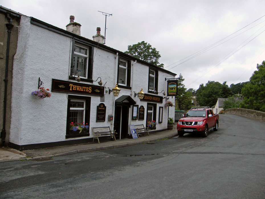
We left the car at the roadside in the village. Parking however is limited and thought should be given to the locals. There is a pay and display car park.
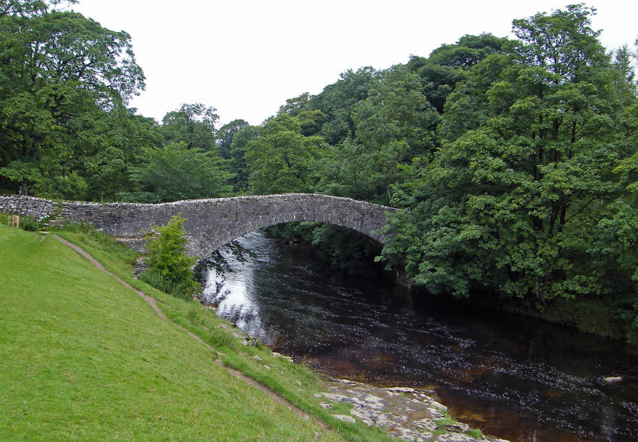
We walked back through the village to the Settle - Horton road which we followed N'wards a short way to take the lane down to Stainforth Bridge. Here we are looking up towards Moor Head. Note the old field workings.
Now on the lane down to Stainforth Bridge and the familiar profile of Smearsett Scar comes into view.
We had planned to return along the River Ribble but the morning was so dull we decided to reverse the route hoping that the day would be brighter when we were higher.
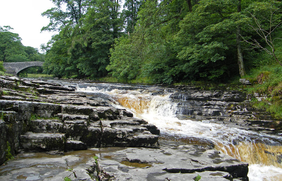
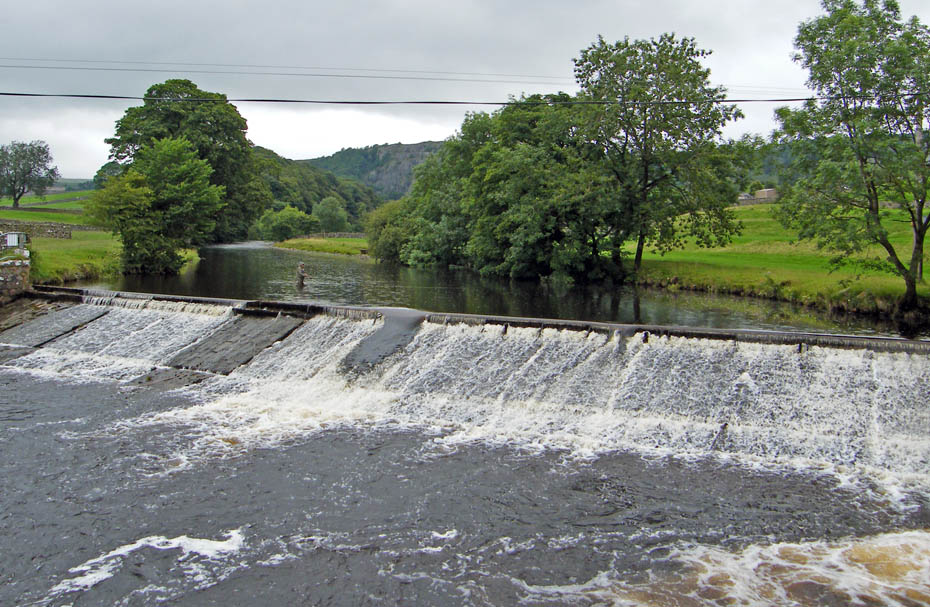
Stainforth Force
It is a popular spot with the youngsters as there is a deep hole to my right which they jump into. As kids we used to do a similar thing off the end of the Central Pier at Morecambe or from the Devils Bridge at Kirkby Lonsdale.
Looking over to Stainforth Scar and the face of the old quarry where the Hoffman Kiln is located.
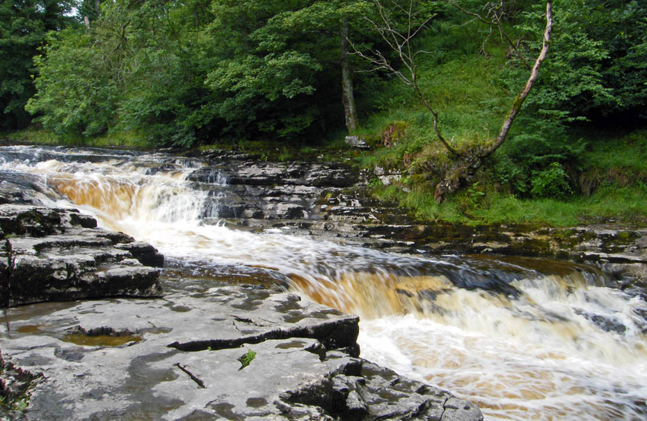
The dull weather is no deterrent to the youngsters from the campsite with their frisbees or whatever they are called nowadays.
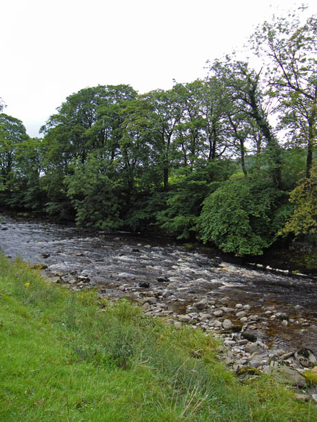
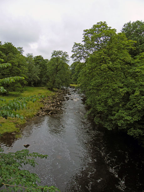
It really is a dull morning with little definition as we make our way downriver.
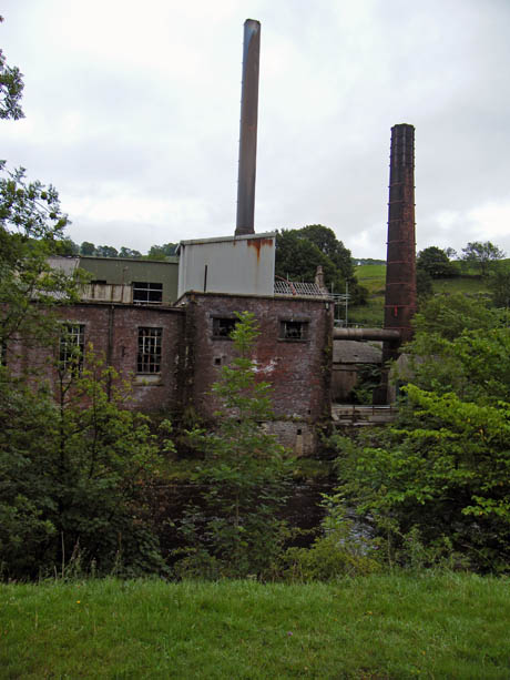
Passing by an old mill building.
This is where we left the river to walk up the lane towards Stackhouse. A lone fly fisherman tries his luck above the weir.
At Stackhouse we walked southwards along the quiet road for around 300 yards to take a path signposted "Feizor". Around the top of this path look out for the turning off to the left.
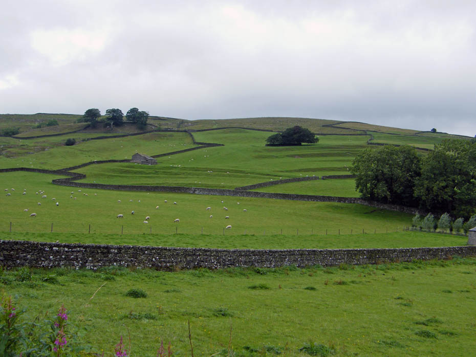
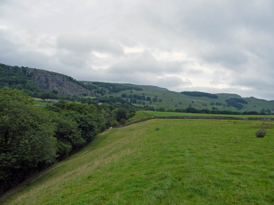
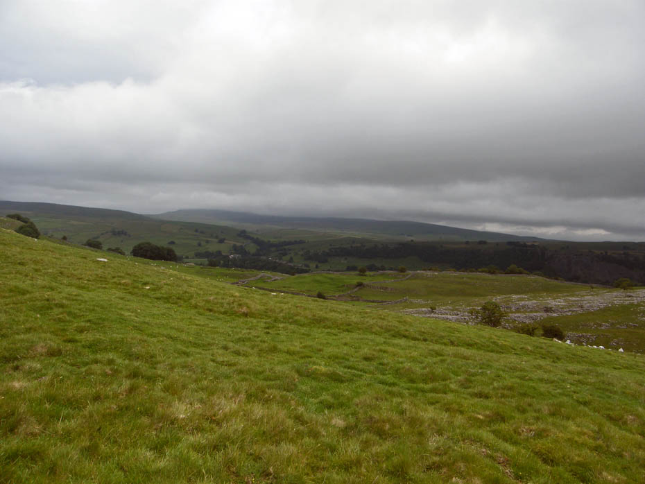
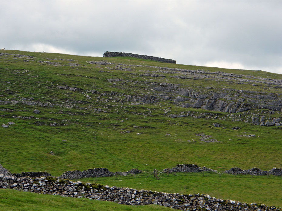
It is a well used track but there are many subsidiary paths leading off it. In general terms you should be heading NE and climbing. Here we are looking southwards to the sedate side of Giggleswick Scar.
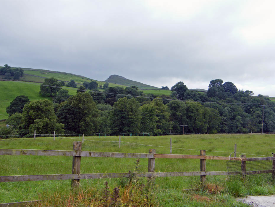
Pen y ghent plays shy as we progress.
Another breather and a look back.
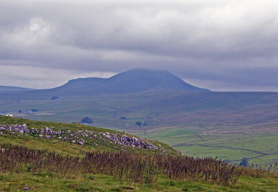
A cloud topped Fountains Fell.
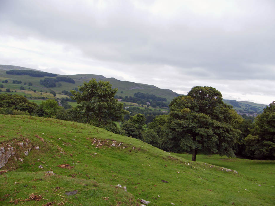
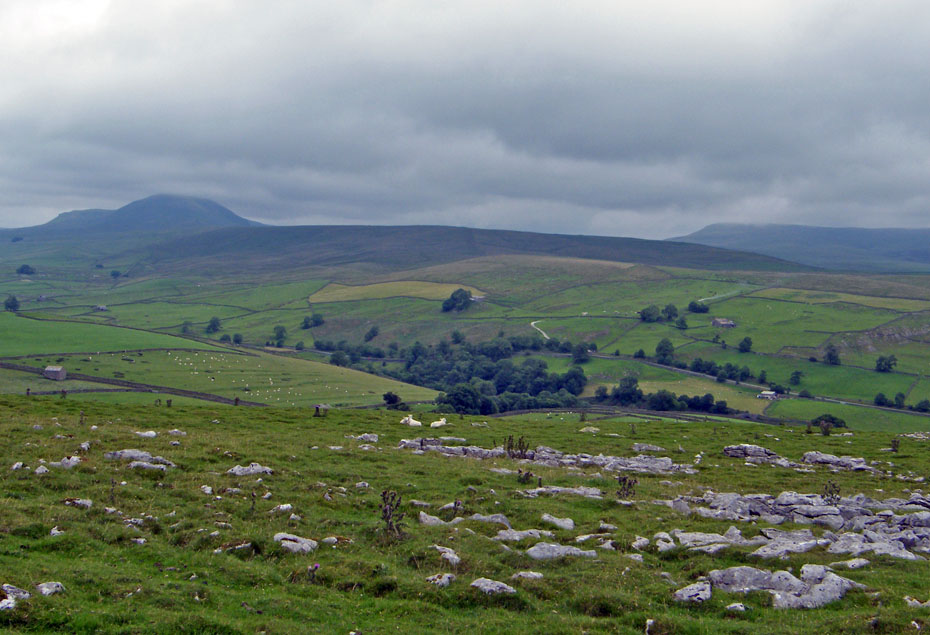
We are somewhere near the highest point of the path now with Pendle Hill just visible to our south.
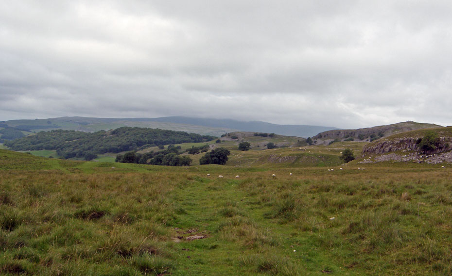
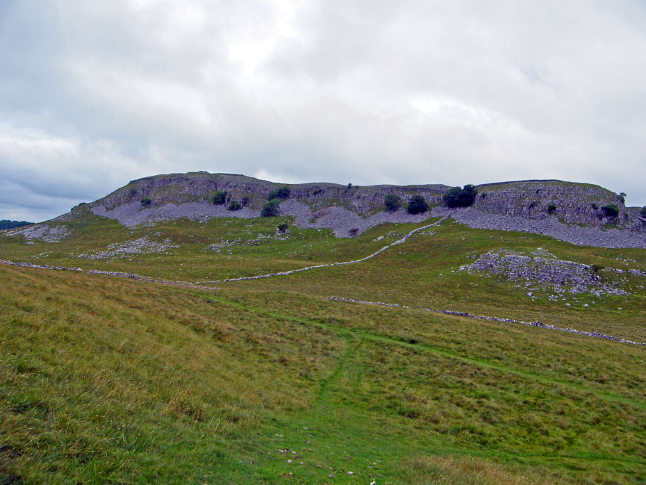
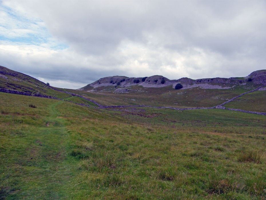
The path carries on ahead to Feizor but we will leave it shortly to cut over into Happy Valley which lies on the t'other side of the ridge in the centre right of picture.
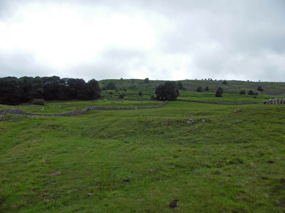
This is not shown on the OS Map but is a good path. Pot Scar is in the background.
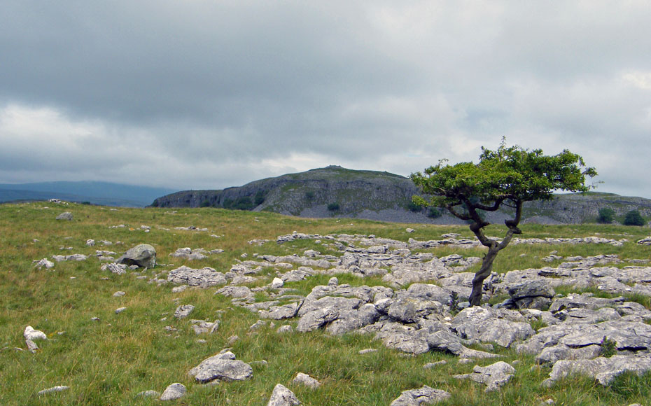
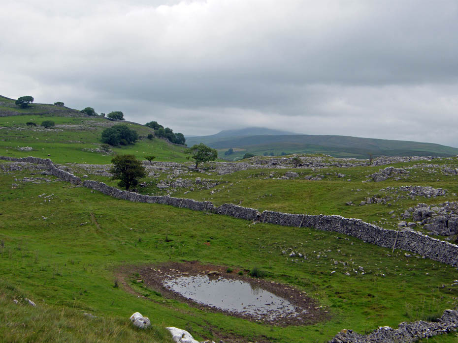
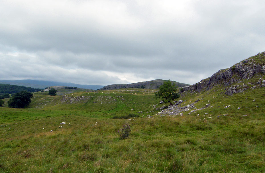
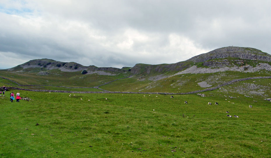
Pot Scar and a lonely tree.
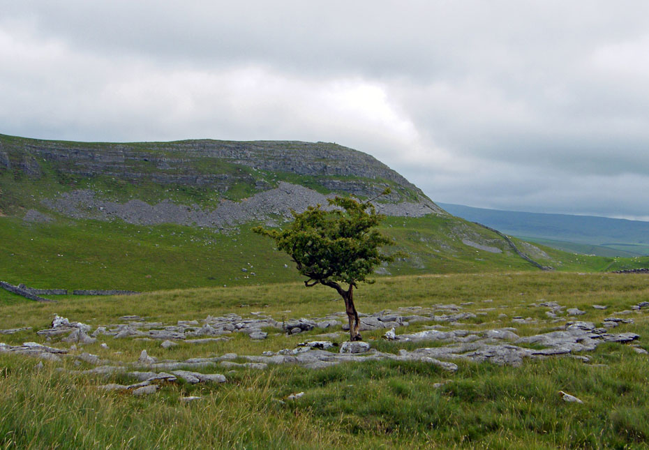
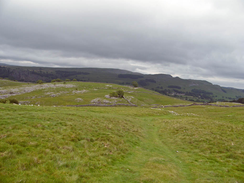
Smearsett Scar and another lonely tree.
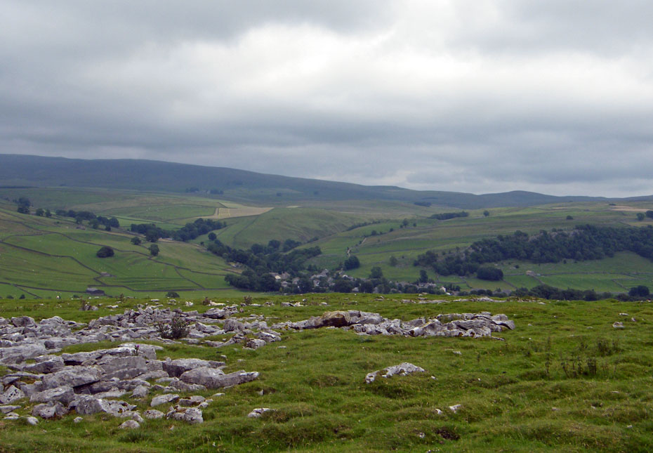
Almost down into Happy Valley.
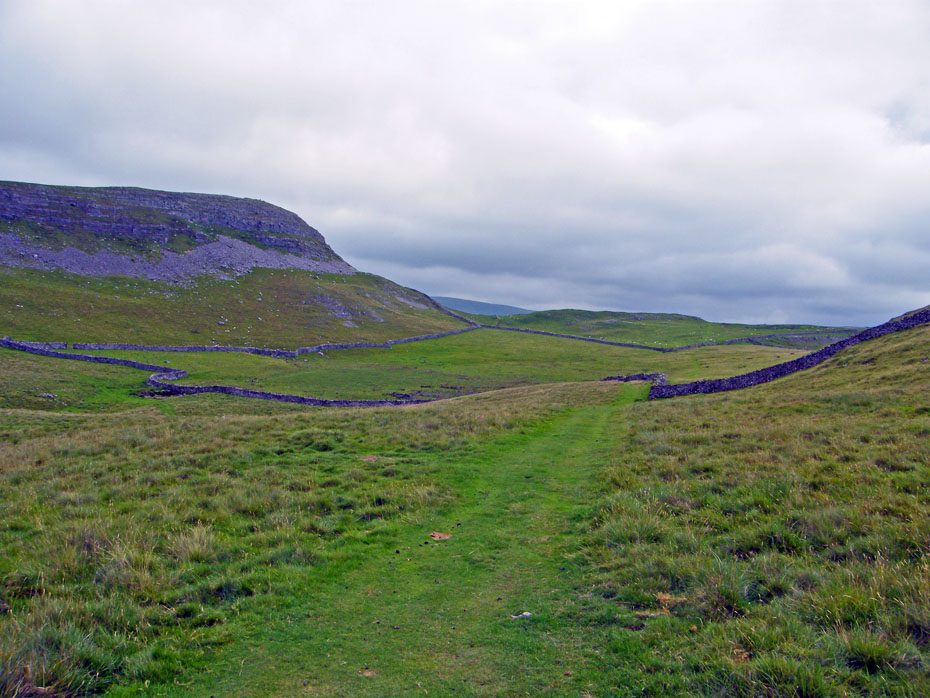
Our way ahead is clear to see.
A look back along the valley.
This group were the only people we saw on the walk apart from at Stainforth and the campsite. They were doing the same walk but the other way round.
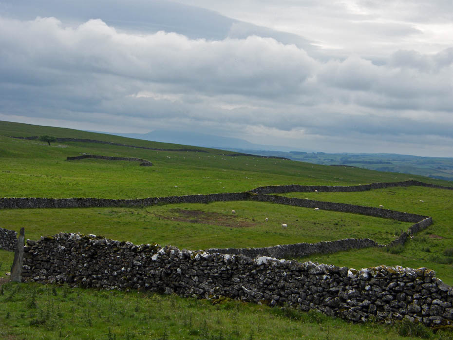
A look up to the "Celtic Wall" as we pass by.
Pen y ghent
Pen y ghent and Fountains Fell from our "buttie stop"
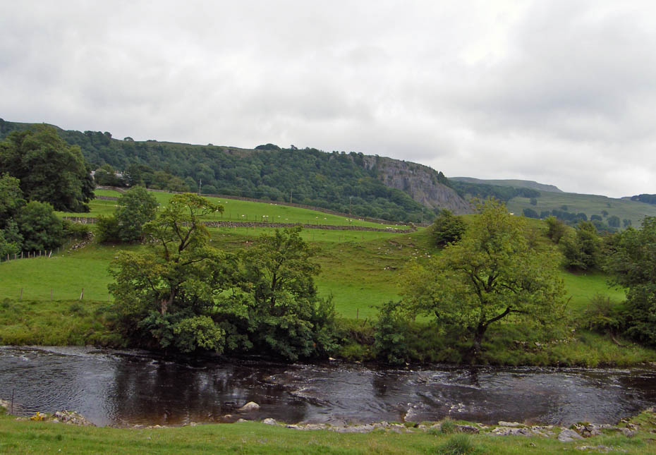
Looking across Ribblesdale to Stainforth
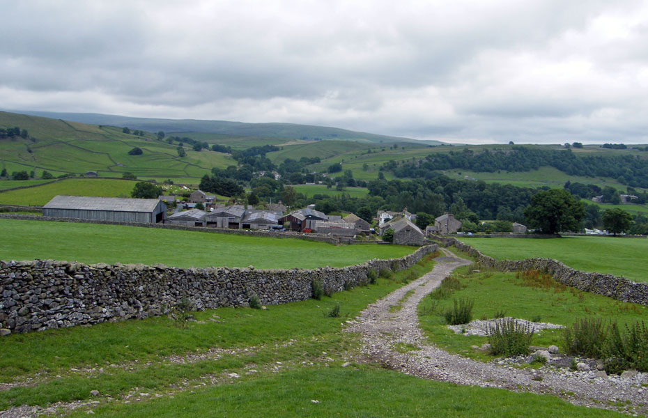
Descending to Little Stainforth
We walked through Little Stainforth to take the lane down to Stainforth Bridge
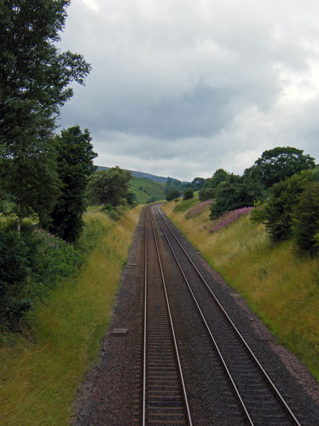
Views from 2 bridges....The River Ribble from Stainforth Bridge and the Settle - Carlisle Railway from the rail bridge.
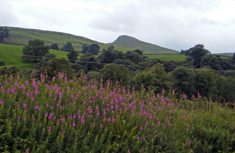
A last look back at Smearsett Scar.
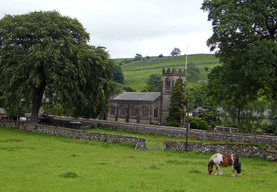
And finally....back to Stainforth with a view of St Peter's Church.....Until the middle of the 19th century Stainforth was part of Giggleswick parish and villagers had to walk there every Sunday to attend church. After Stainforth became a separate parish, three sisters from a prominent local family called the Dawsons paid for a church to be built in the village. It was consecrated in 1842. Three cottages were demolished to make way for the church and one of the residents was buried on the site of his old home.
Next Walk: 27th July 2010 - Local - Sunderland Point with the girls.
Last Walk: 23rd July 2010 - Yorkshire Dales (W) - Smearsett Scar & Feizor
Do you have a Facebook or Twitter account. We post regular updates on both. Just click on either of the links below.
![]()

We hope you have enjoyed viewing this walk. If you have any comments please sign our Guestbook or E_Mail us.
