
| Area: | South Cumbria | Ascent: | 600feet |
| Walk No: | 426 | Time: | 1hour 45minutes |
| Date: | 1st August 2010 | Parking: | Near top of Clawthorpe to Newbiggin road. (SD 550787) |
| Distance: | 3.75miles | Weather: | Dull with some light rain |
| Route: |
For those of you that are thinking of going onto the hills I would strongly recommend that you read the advice given by the Mountain Rescue organisation of England and Wales. To read this advice, which will open in a new page please click HERE. If you would like to make a donation to the Mountain Rescue organisation which is purely voluntary please click HERE. Please make the time to read the advice page.
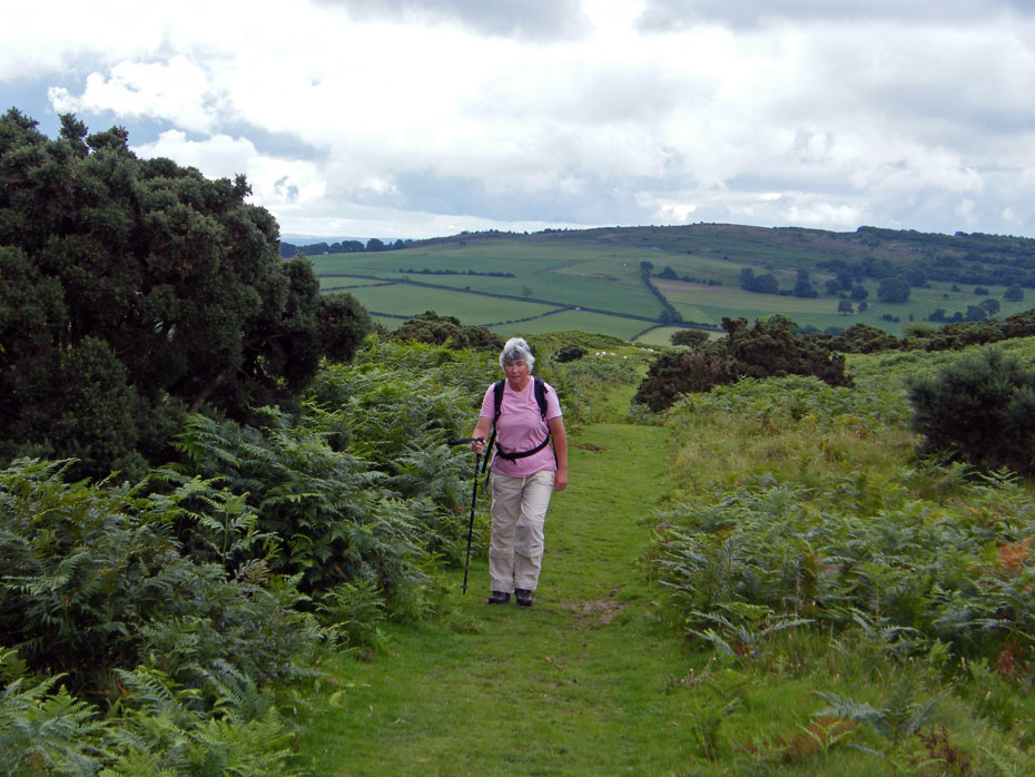
We had hoped to do this short walk with our two eldest granddaughters and to incorporate a picnic into it. However the day was far to dull and promising showers so hopefully the picnic will be another day when the weather is better. However Edith and I decided to carry on with our plans and do it since it is many years since Edith was on Farleton Knott, whereas I was there earlier in the year. We decided to do the walk from the minor road that crosses the fell which would save some climbing and also if it did start to rain heavy we could return the same way.
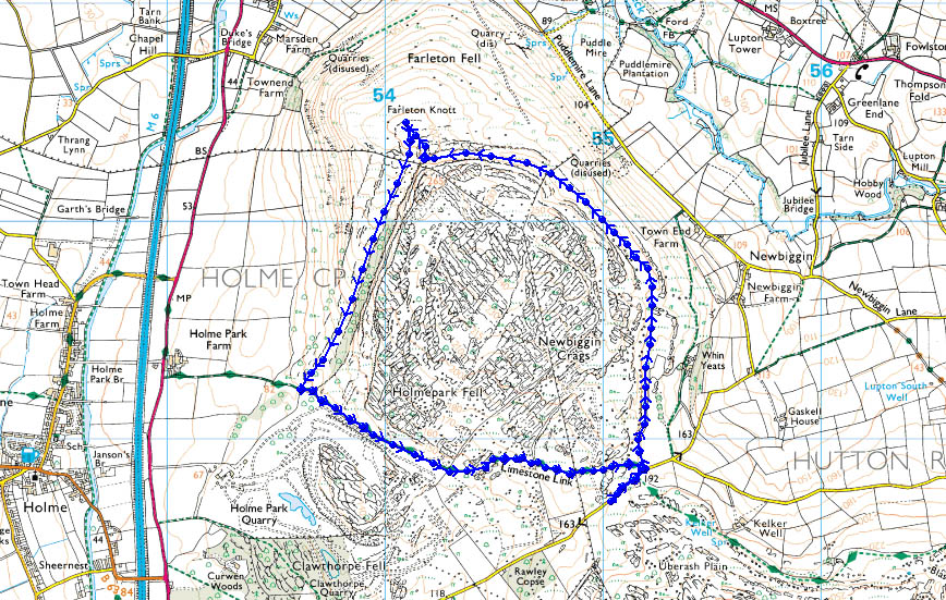
Route Map
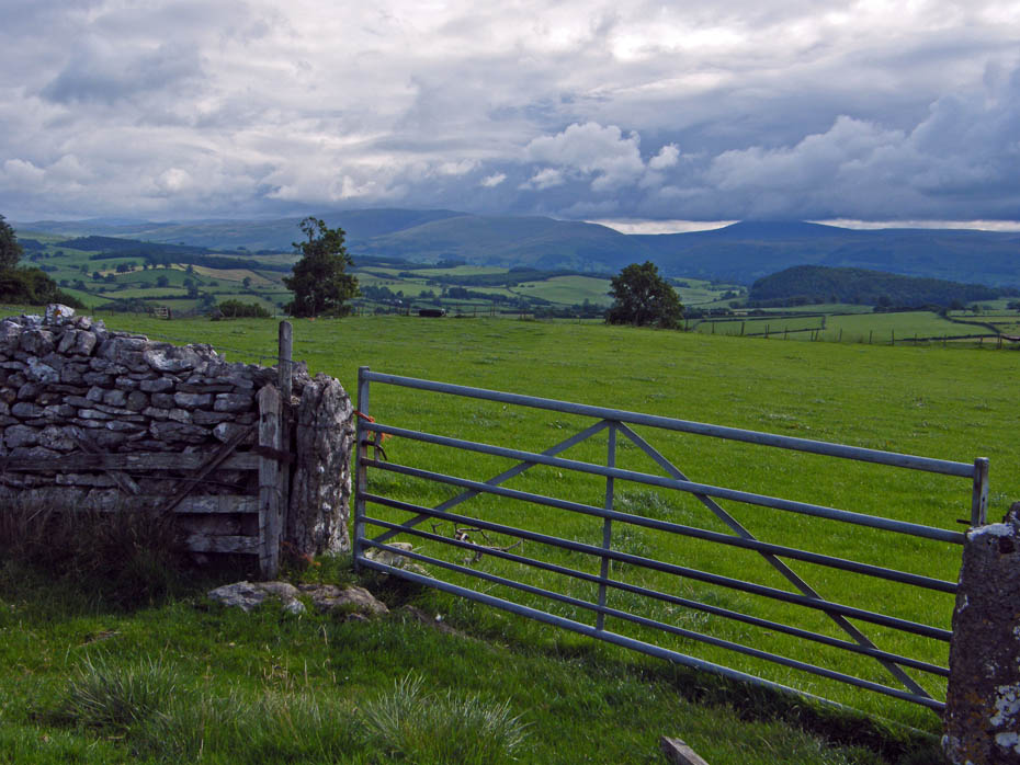
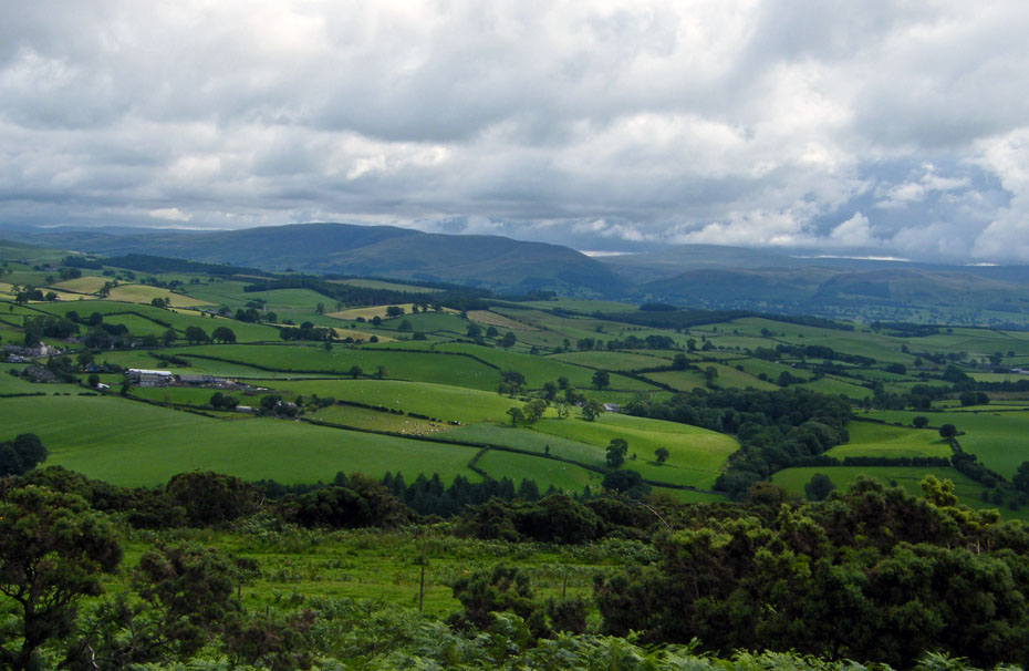
A cloudy start as we set off on the green path above Whin Yeats with views to Middleton Fell.
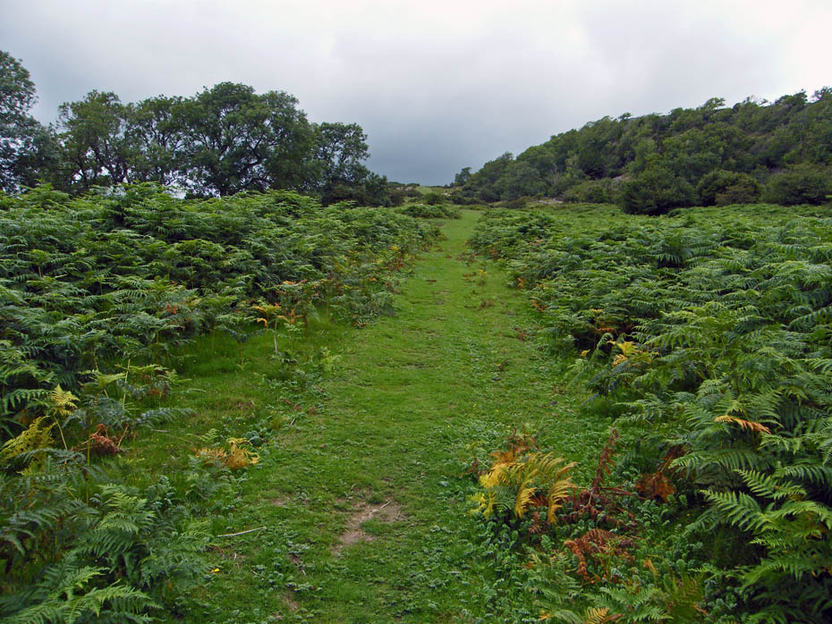
This is by far the easiest way to Farleton Knott. Ideal for short or tired legs and on grass most of the way.
Not much of a day but at least it's fine......so far!
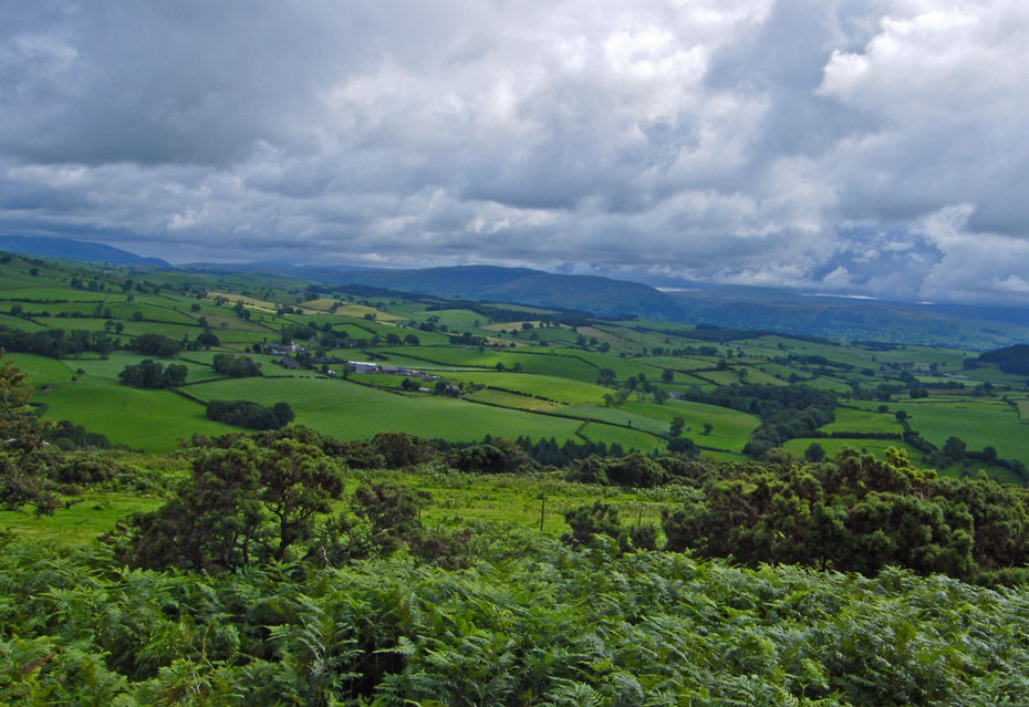
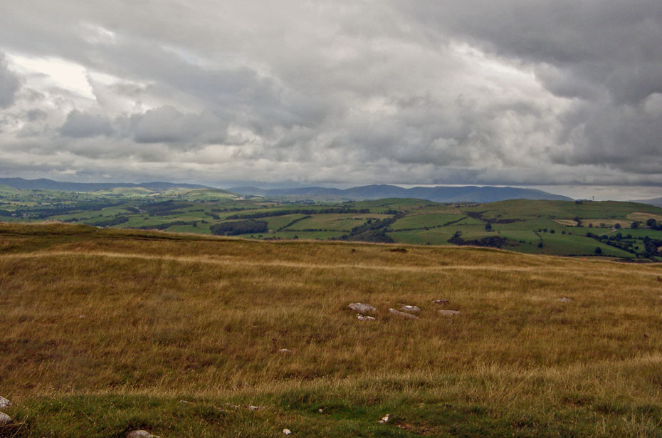
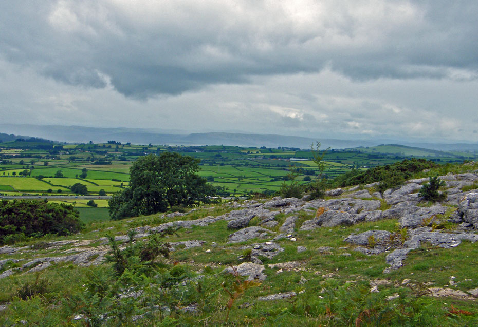
The views on this section of the walk are dominated by Middleton Fell with an occasional glimpses of Crag Hill and Whernside.
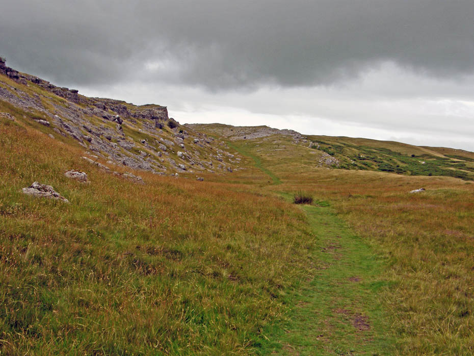
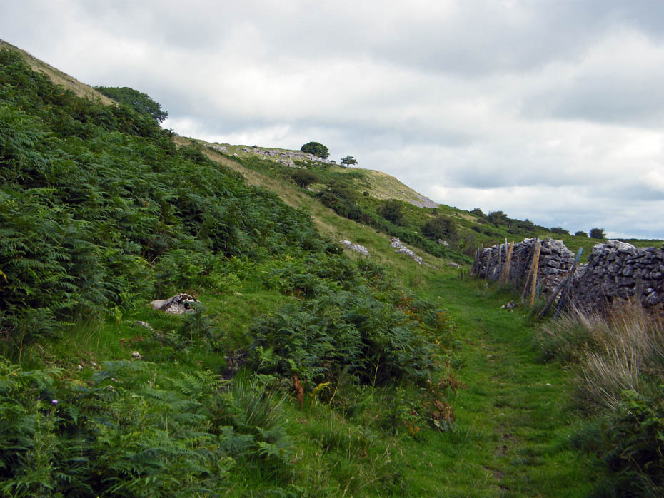
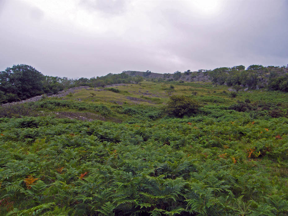
There are paths above us across the limestone pavement but today it is safer on grass than polished limestone.
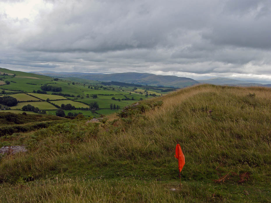
We had noticed a few of these markers and later saw a guy putting them in place. I assume they are to mark a race of some kind.
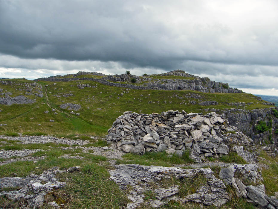
A shelter near the Farleton Knott. The summit of Farleton Fell is behind it.
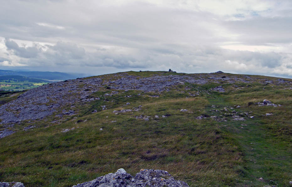
There's the cairn on Farleton Fell.
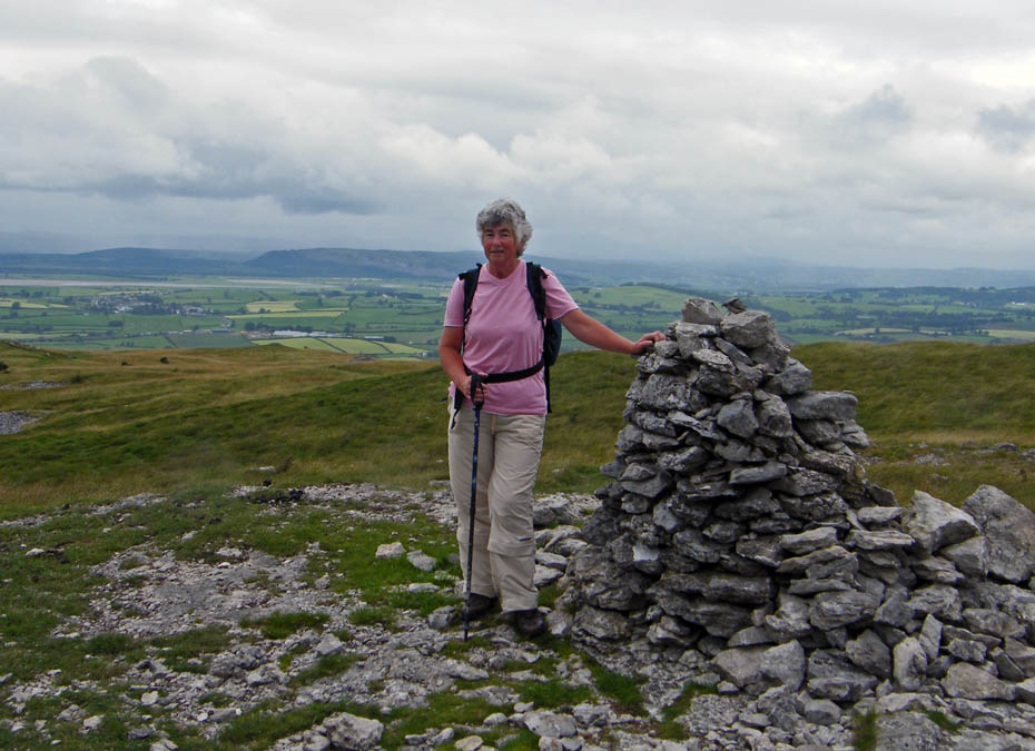
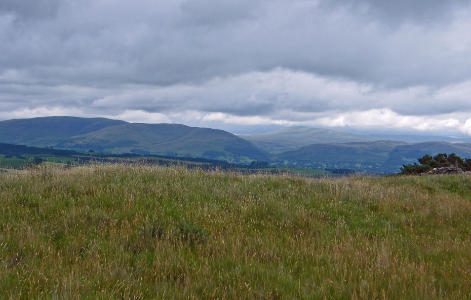
You wouldn't think so today but it is a fine viewpoint.
Looks like rain and it's heading our way.
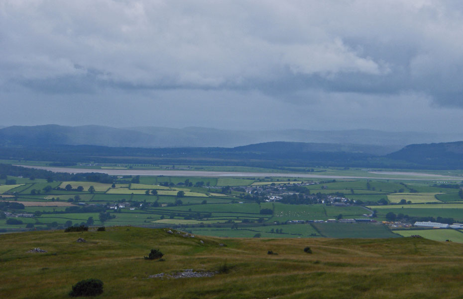
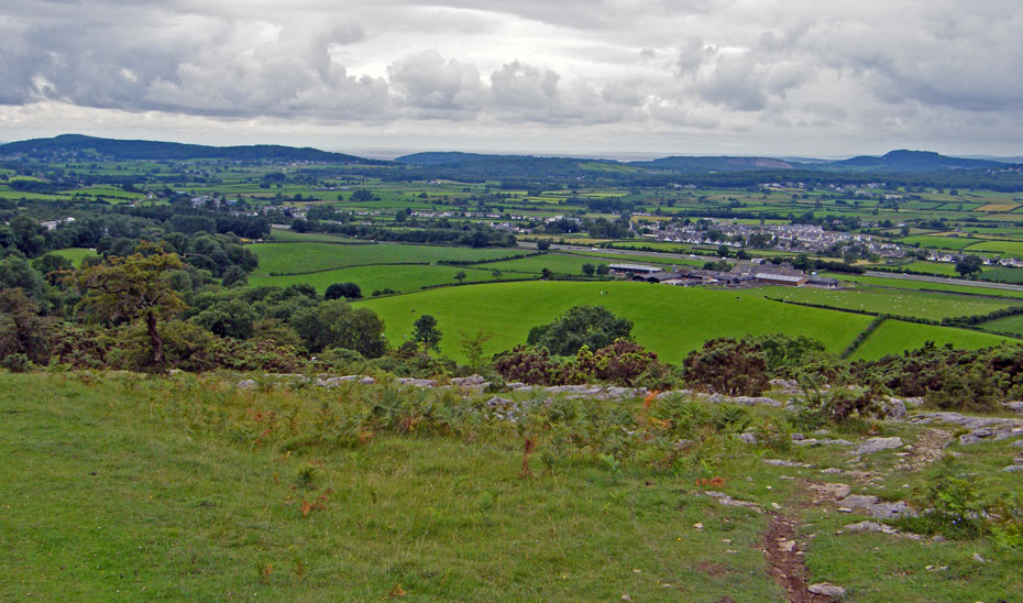
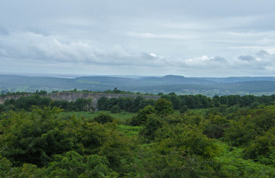
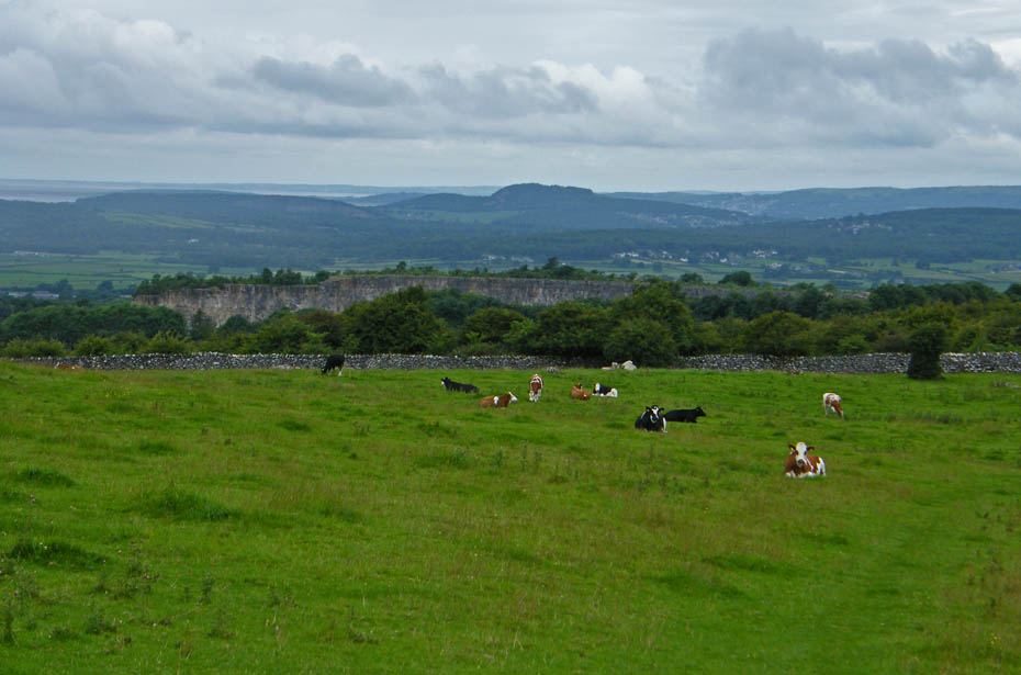
Looking towards home with Warton Crag on the left and Arnside Knott to the right.
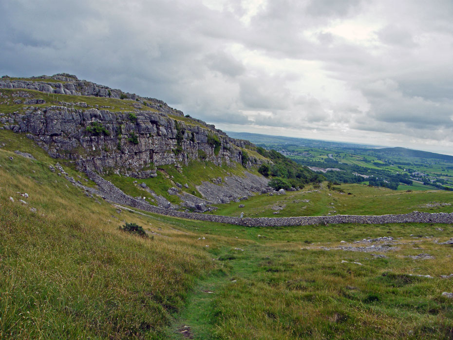
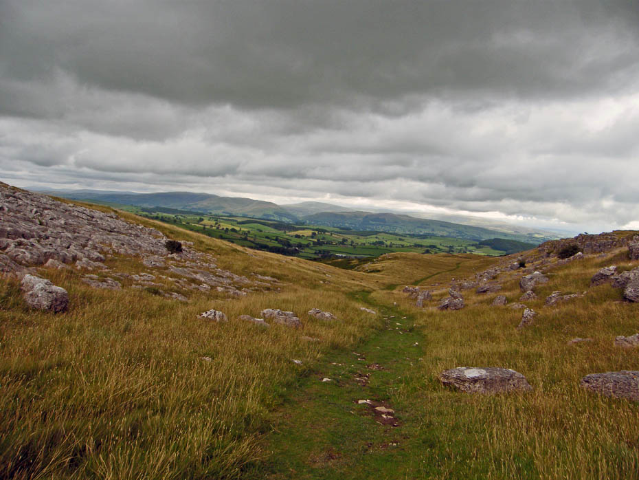
The last time I was up here I walked along the top of the scar on the left. Today however we will take the more popular route below it.
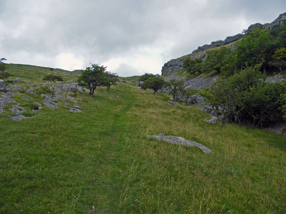
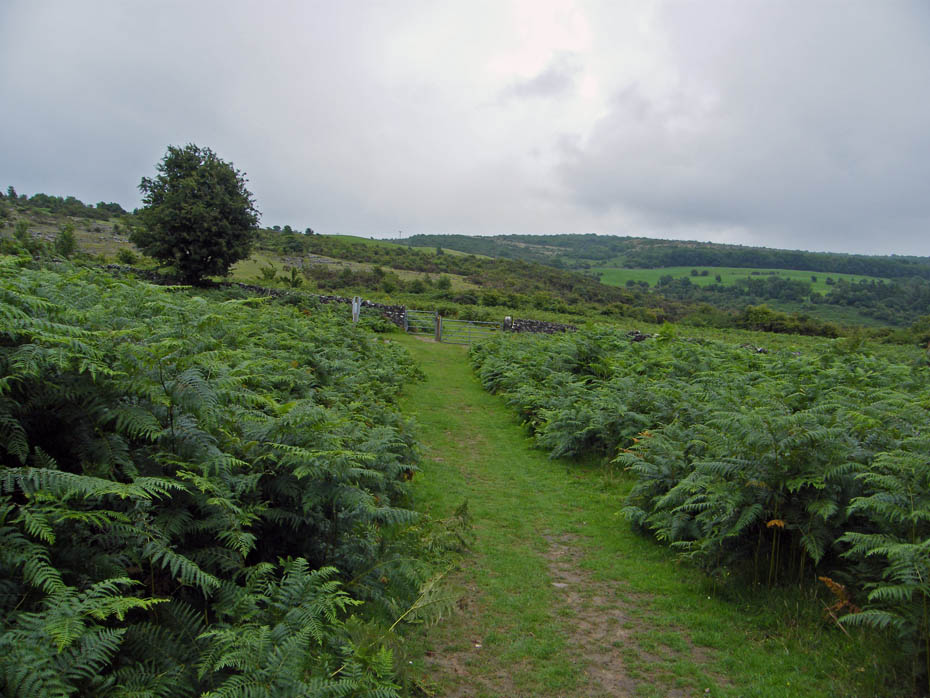
This way is mainly on grass and makes for easy walking.
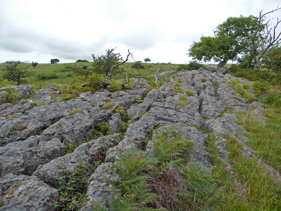
There are however plenty of patches of lovely limestone pavement to view and for the botanist to explore.
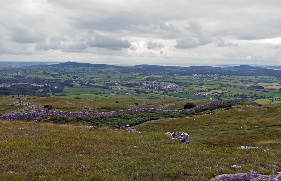
Below us and to our right the village of Holme and the M6.
Eventually our path meets the path that crosses the fell. Just a case of turn left and follow your nose now really.
A little way along the path is the start of the path I ascended by last time.
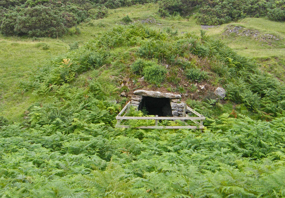
And a little further still what I take to be an old kiln.
The rain had caught us by this time.....no matter there wasn't too much to see
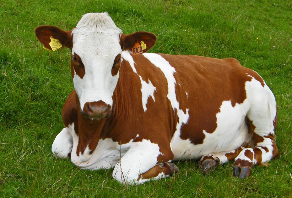
A local lady, possibly called Patch shows off her gaudy ear-rings.
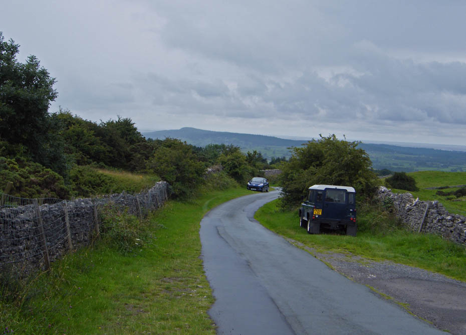
And finally......back to the car.
Next Walk: 3rd August 2010 - Arnside & Silverdale - A Silverdale walk from Crag Foot
Last Walk: 29th July 2010 - Lake District - A Naddle Circular from Castlerigg
Do you have a Facebook or Twitter account. We post regular updates on both. Just click on either of the links below.
![]()

We hope you have enjoyed viewing this walk. If you have any comments please sign our Guestbook or E_Mail us.
