
| Area: | Arnside & Silverdale | Ascent: | 820feet |
| Walk No: | 463 | Time: | 3hours 30minutes |
| Date: | 13th October 2010 | Parking: | Arnside promenade |
| Distance: | 6.25miles | Weather: | Fine & Sunny but a very hazy |
| Route: |
For those of you that are thinking of going onto the hills I would strongly recommend that you read the advice given by the Mountain Rescue organisation of England and Wales. To read this advice, which will open in a new page please click HERE. If you would like to make a donation to the Mountain Rescue organisation which is purely voluntary please click HERE. Please make the time to read the advice page.
Another beautiful day although somewhat spoilt by the very hazy conditions. After dropping Edith off at her brothers I made my way to Arnside where I left the car on the promenade. My intention was to walk along the shore to Blackstone Point and then cut across the sands to Park Point. However plans were changed fairly early in the walk due to the conditions underfoot.
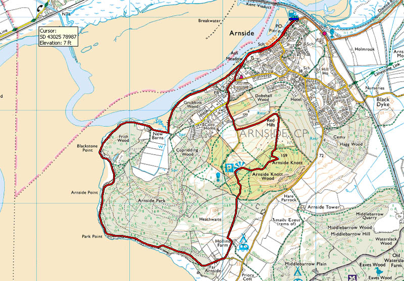
Route Map.
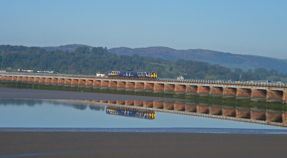
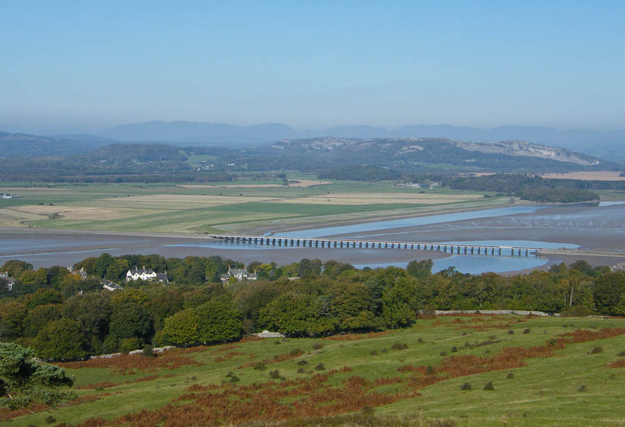
The railway viaduct complete with train from my parking place on the promenade.
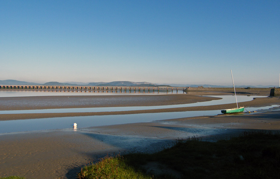
It's a beautiful morning, only spoilt by a band of haze. There are probably early morning inversions in the Lakes.
Having checked the tide-tables I have no problem with the tide today.
As I walk down the river there is a view of Red Screes, maybe it will clear as the day warms.
Photography is a bit more difficult now as I am in the shade of the trees.
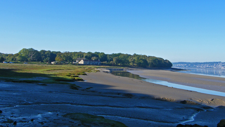
A short walk as brought me to New Barns. Today my intentions are to follow the shoreline around the point opposite.
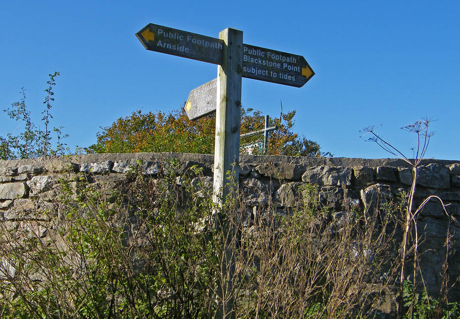
Now at New Barns and the fingerpost warns walkers of the tides.
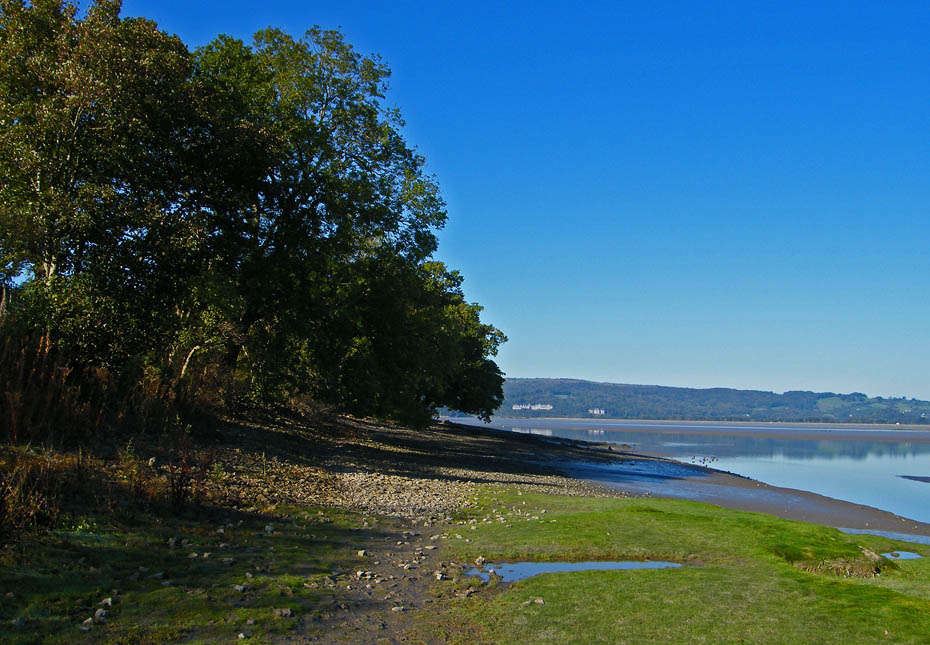
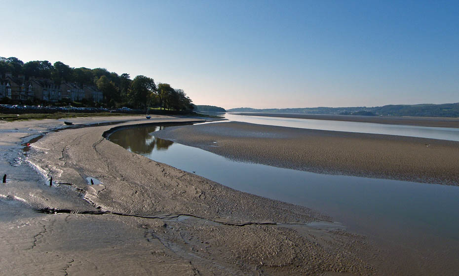
This is a very popular spot with the anglers, however today they are elsewhere. That's Hampsfell across the estuary by the way.
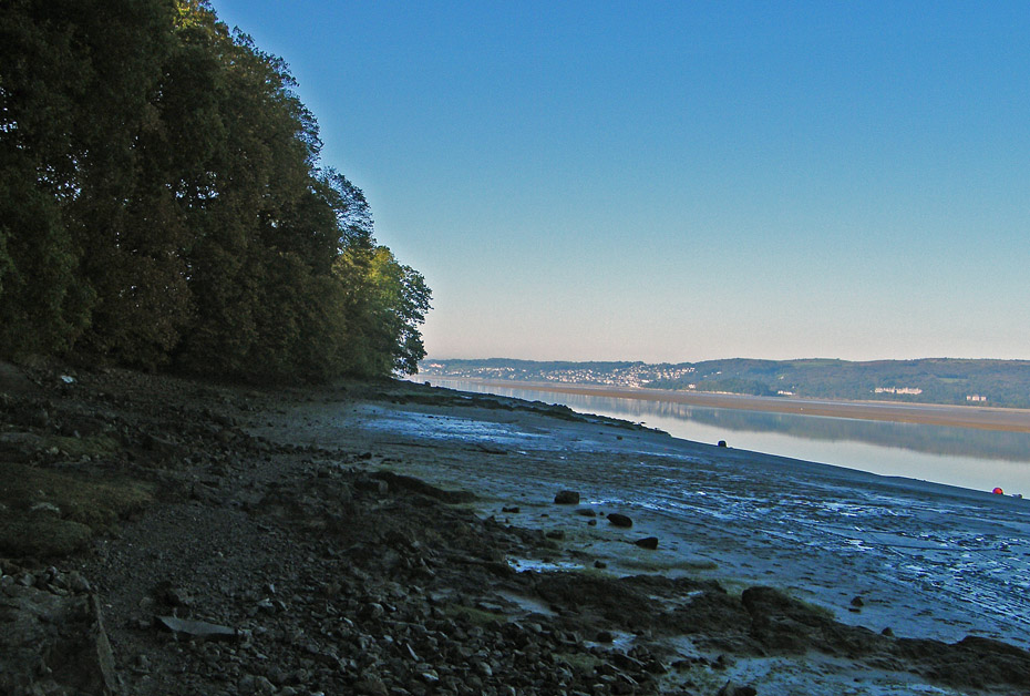
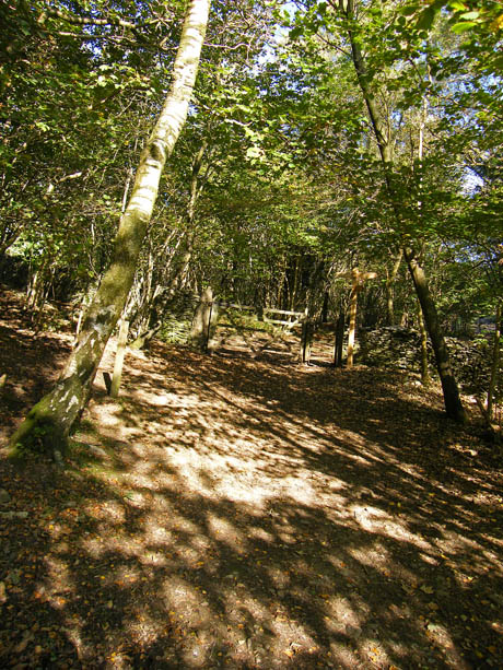
After rounding the point of New Barns it had been my intention to walk across the sands first to Blackstone Point, the dark pointy out bit , and then to Arnside Point to pick up the cliff path. However due to lots of fresh water coming down the river from recent rain the top surface of the sands was very muddy so I decided to leave the shore and take a path through the woods to Blackstone Point.
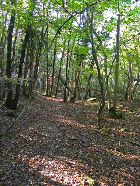
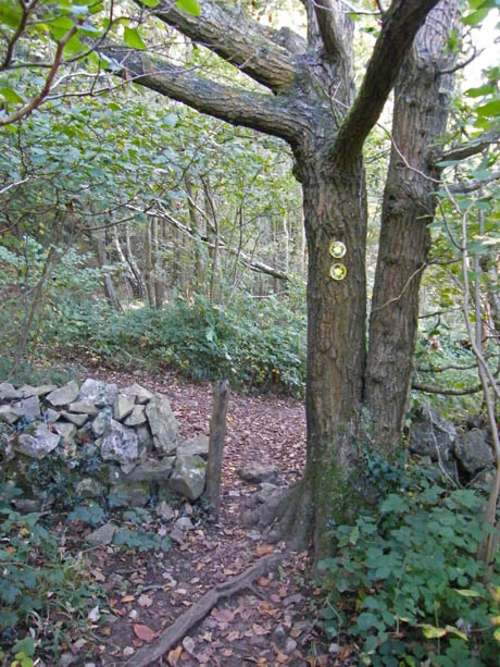
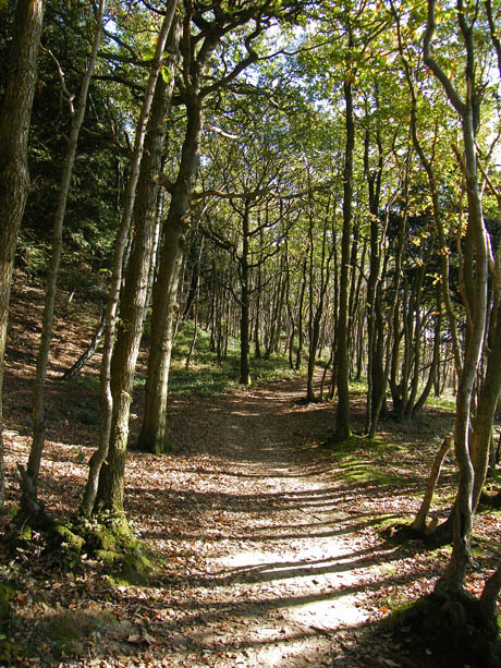
The path although not marked is easy to find, just look for a narrow track leading into the woods (l) and follow it to the right (r)
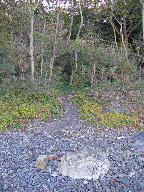
If you get it right you should emerge onto the shore just past Blackstone Point. If you don't you'll probably end up at the caravan site but don't worry you can walk to the shore from there.
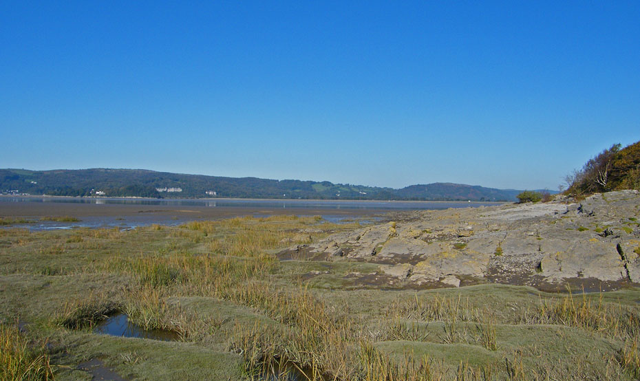
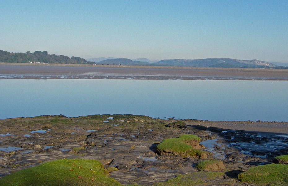
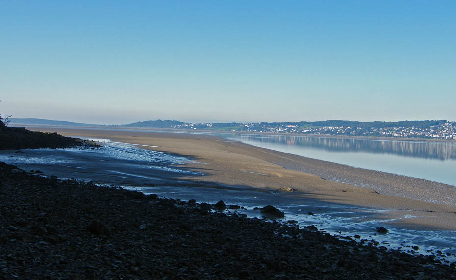
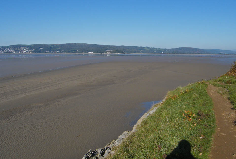
Looking across the estuary from Blackstone Point.
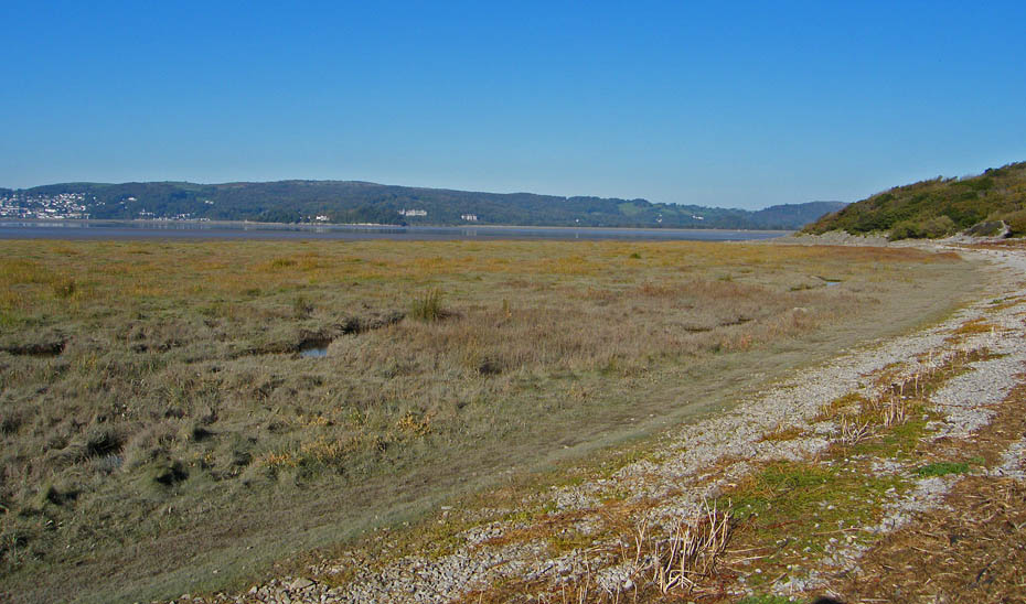
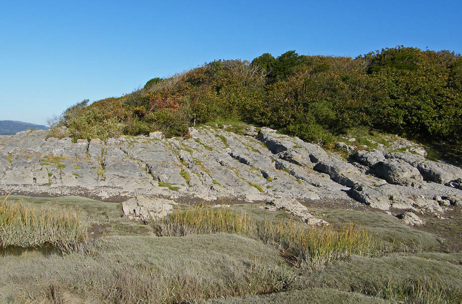
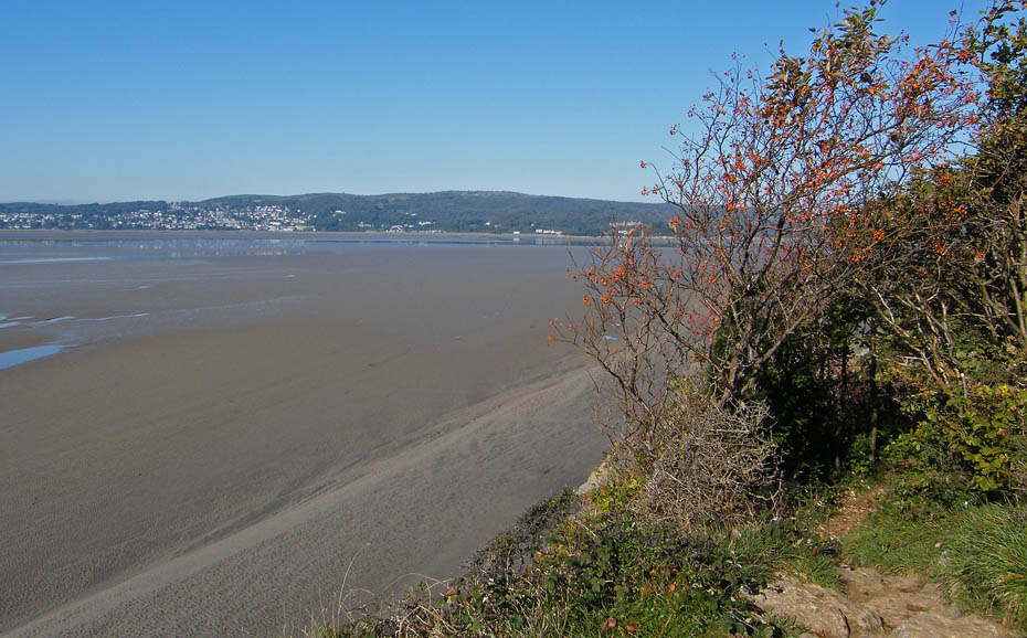
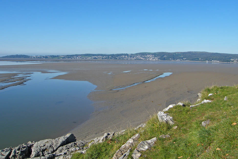
From Blackstone Point you have 3 choices of crossing to Arnside Point. (1) Along the sands...too muddy today but usually the easiest. (2) Across the salt-marsh...involves quite a bit of gully humping....not good for my knees......or...
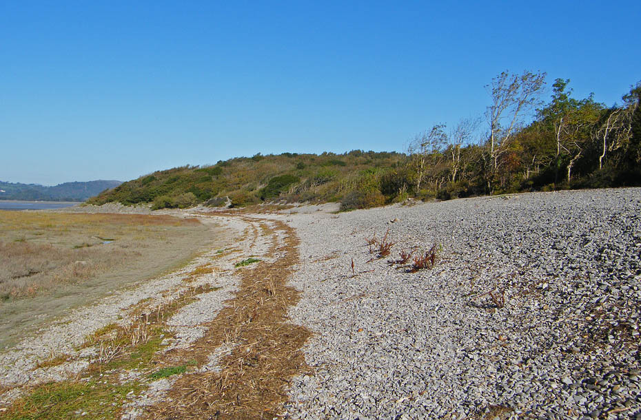
.....(3) Along the shingle beach.....best to walk along the line of washed up rubbish, it's more stable but do look for dead seabirds. This and the previous picture are both retrospective views.
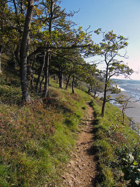
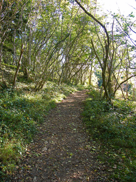
At the far end of the beach look for a path once again rising through the woods to meet a stronger cross-path along which we turn right. If you can't find the path there are plenty of spots where an easy scramble will take you up onto the cliff path.
The cliff path is a delight to walk but it is predominantly limestone and can be slippy when wet. The path runs within a few inches of the cliff edge in places and although not a massive drop I reckon 30 or 40 feet onto craggy rocks could well leave a few dents if not worse.
The first section of the cliff path emerges at the delightful Park Point a good picnic stop if unlike me you have brought summat to eat!
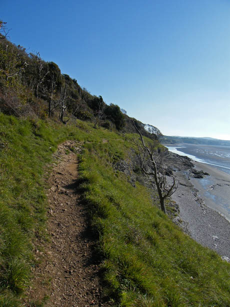
From Park Point the path first runs through a section of the woods before returning to the cliff edge. For those not happy with these paths it is possible when the tide is out to get down to the beach at Park Point and walk along that.
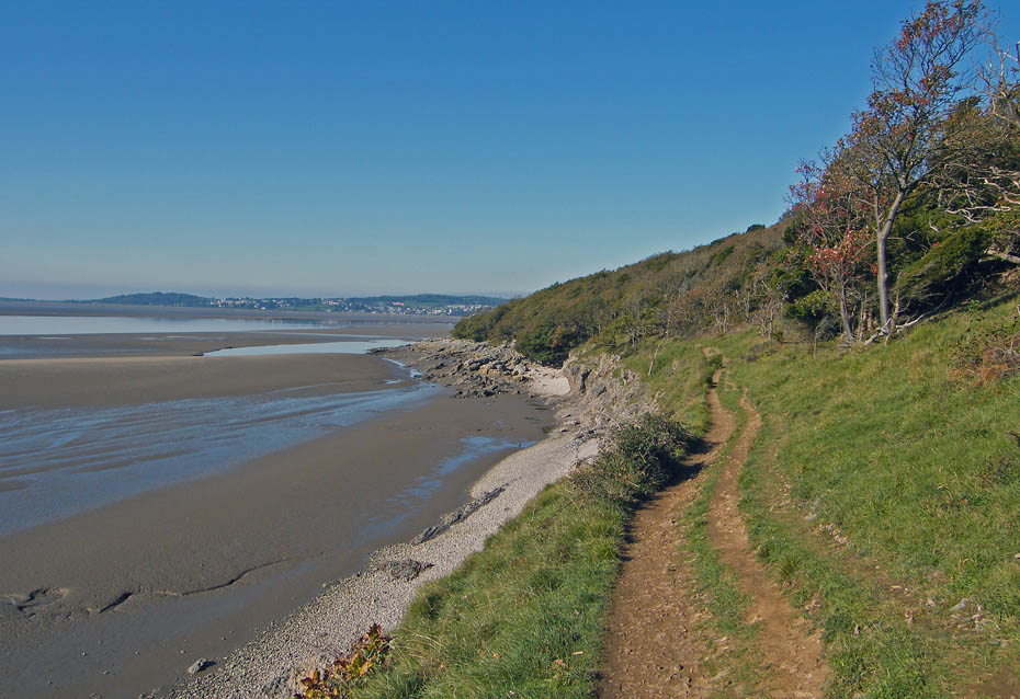
Looking back to Park Point from the cliff path.
Eventually the path goes into the woods and rises gently to enter the caravan park at Far Arnside. Walk through the park and.....
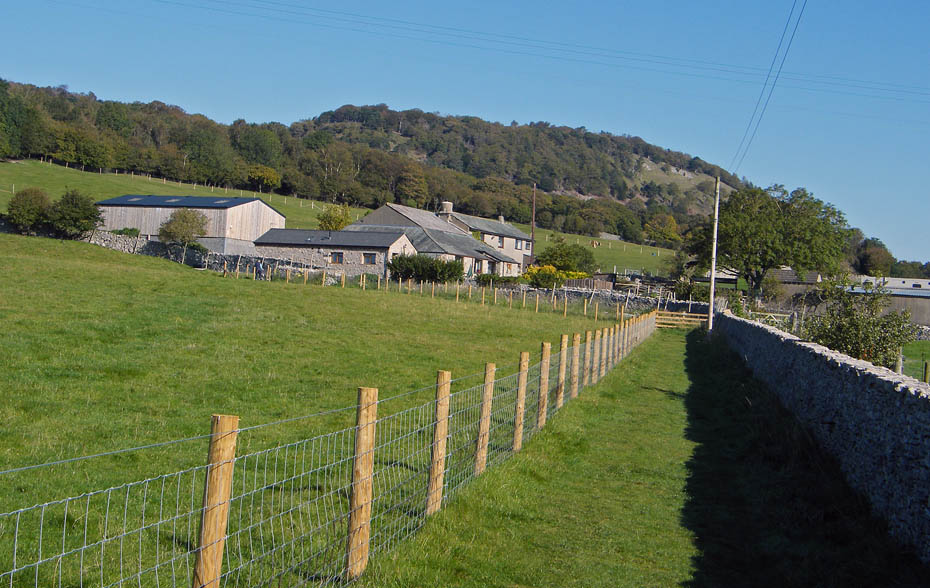
.....take the path across the field towards Hollins Farm.
At Hollins Farm take a path on the left leading to Heathwaite and follow the path up until joining the bridleway around the southern end of Arnside Knott. Cross the bridleway and take a path directly ahead.
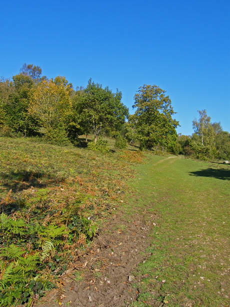
The path rises above Heathtwaite to reach two wooden seats. Take the narrow path to the left which after passing through a gate rises to the area....
....marked on the map as a viewpoint.
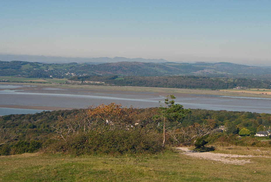
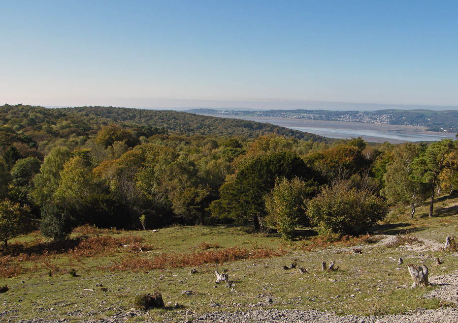
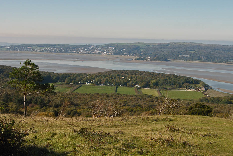
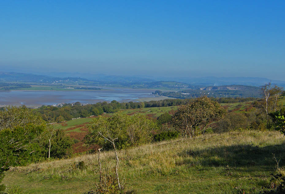
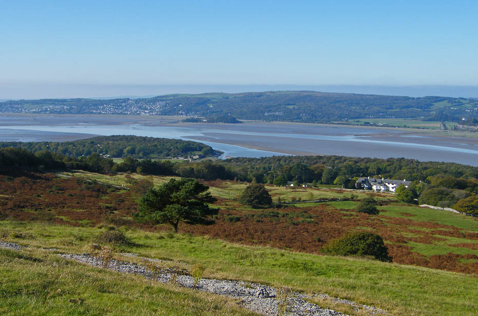
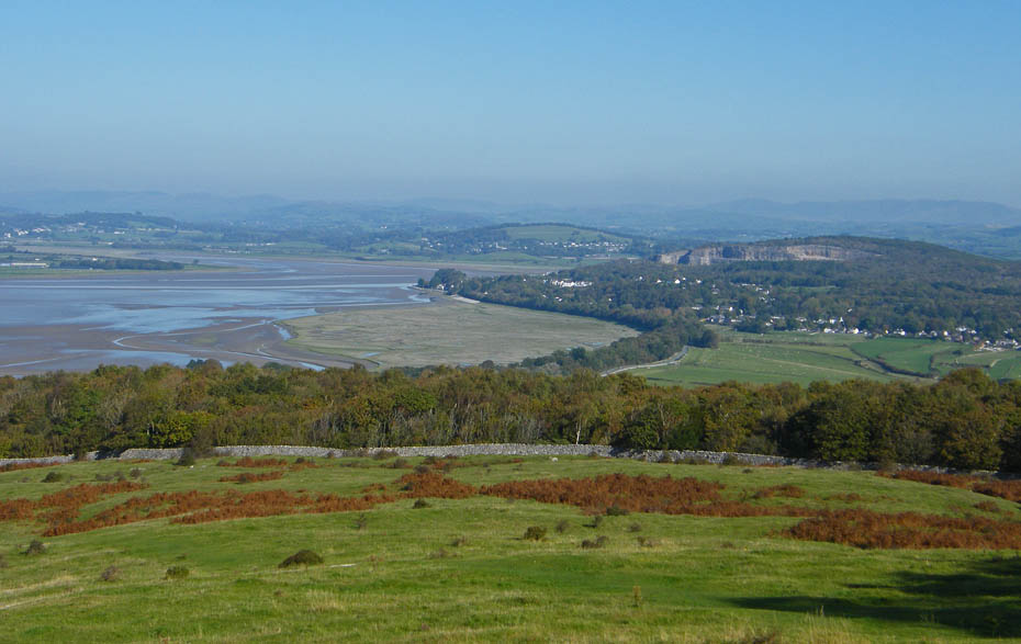
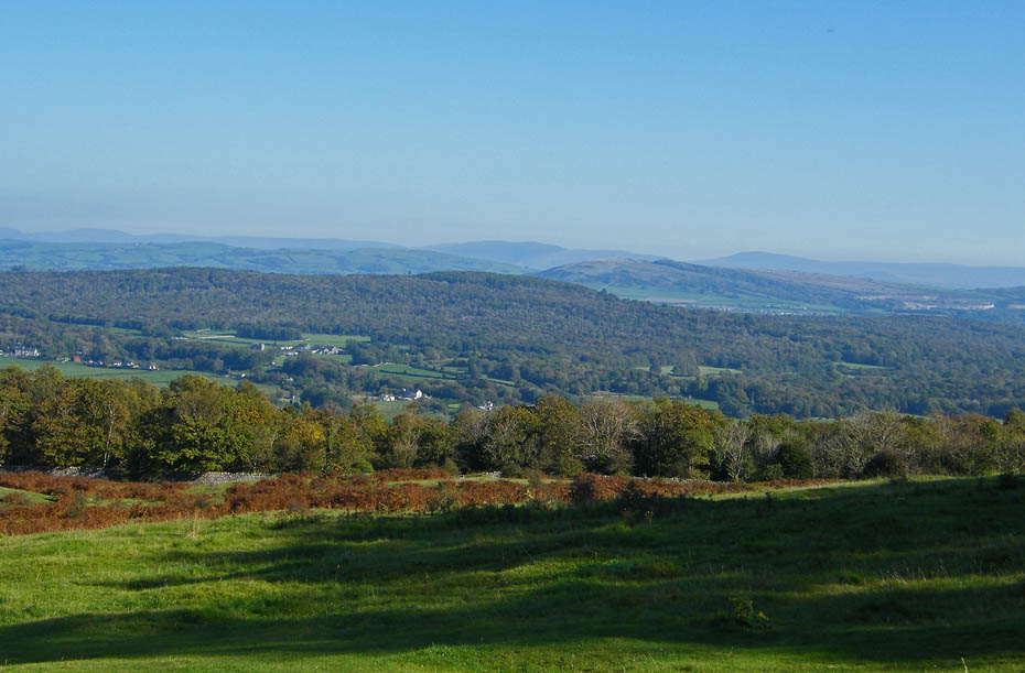
The views from here are extensive and on a crisp winters day are superb. Today however if the haze they are somewhat spolied.
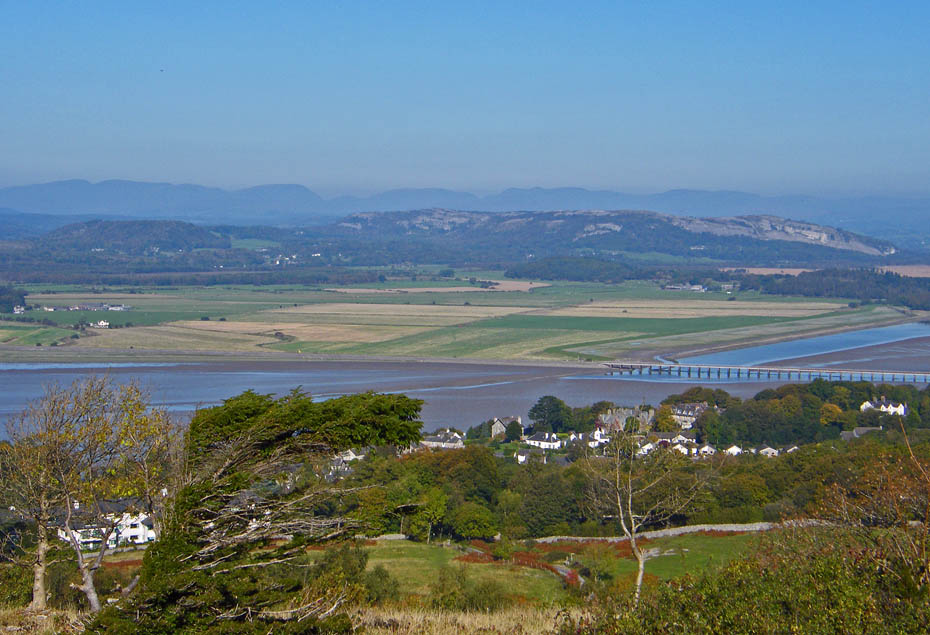
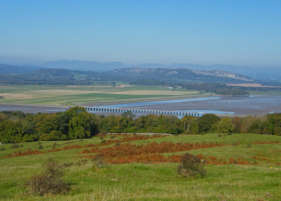
Whitbarrow over the viaduct with Eastern & Far Eastern Fells behind.
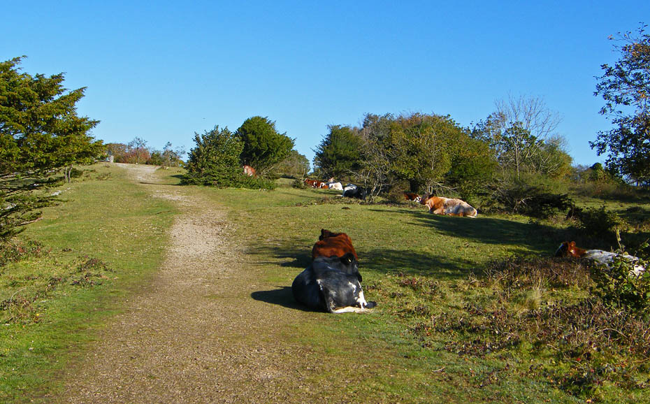
From the viewpoint it is but an easy stroll to the summit.
There seemed little point in hanging around, the views will get no better.
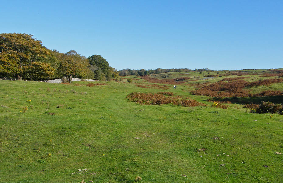
Walking down Red Hills.
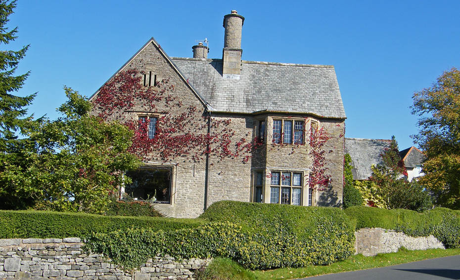
The YHA at Arnside.
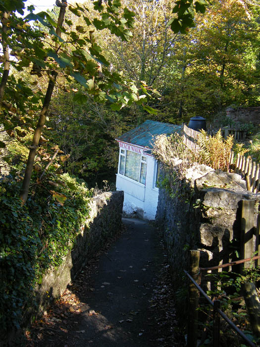
Dropping down to the beach I passed the Beach Walk Cafe, unfortunately closed on a Tuesday.
As I was walking along here I heard a familiar voice calling me. It was Edith and her brother who were waiting for the tidal bore. However it was around 45 minutes away so I left them to it.
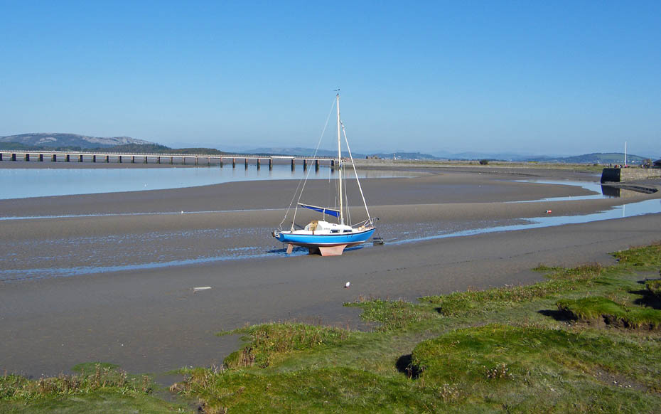
A look down the estuary from the pier as I returned to the car.
Next Walk: 17th October 2010 - Arnside & Silverdale AONB - A Silverdale Saunter
Last Walk: 11th October 2010 - Lake District - A great, Great Langdale day
Do you have a Facebook or Twitter account. We post regular updates on both. Just click on either of the links below.
![]()

We hope you have enjoyed viewing this walk. If you have any comments please sign our Guestbook or E_Mail us.
