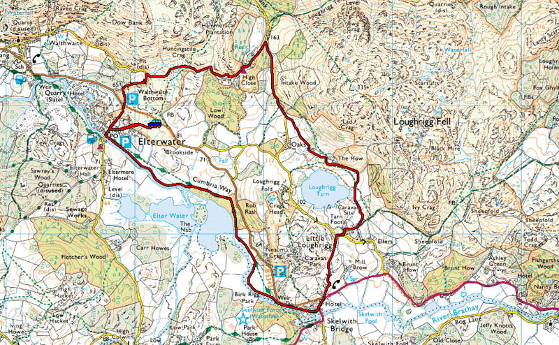
| Area: | Lake District | Ascent: | 600feet |
| Walk No: | 493 | Time: | 3hours |
| Date: | 10th February 2011 | Parking: | Elterwater roadside |
| Distance: | 5.00miles | Weather: | Fine & Sunny |
| Route: |
For those of you that are thinking of going onto the hills I would strongly recommend that you read the advice given by the Mountain Rescue organisation of England and Wales. To read this advice, which will open in a new page please click HERE. If you would like to make a donation to the Mountain Rescue organisation which is purely voluntary please click HERE. Please make the time to read the advice page.
It was very misty morning as we drove northwards along the M6. Farleton Fell just south of J36 was completely hidden from us as we passed and it wasn't until we reached the Plumgarth roundabout that things started improving. By the time we passed Ings the visibility was fantastic with just the remnants of an inversion over Windermere. We were soon parked up at Elterwater for this short walk, a pleasure every step of the way.
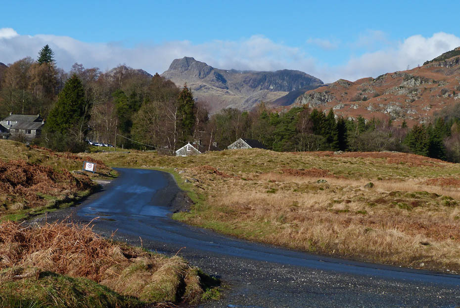
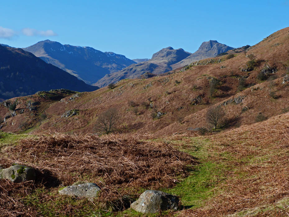
The Langdales from where we left the car.
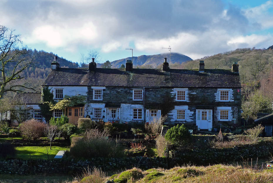
Elterwater cottages with Wetherlam behind.
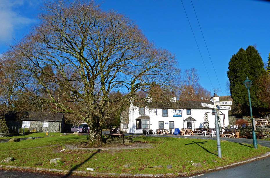
Elterwater green with The Brittania and the Maple tree.
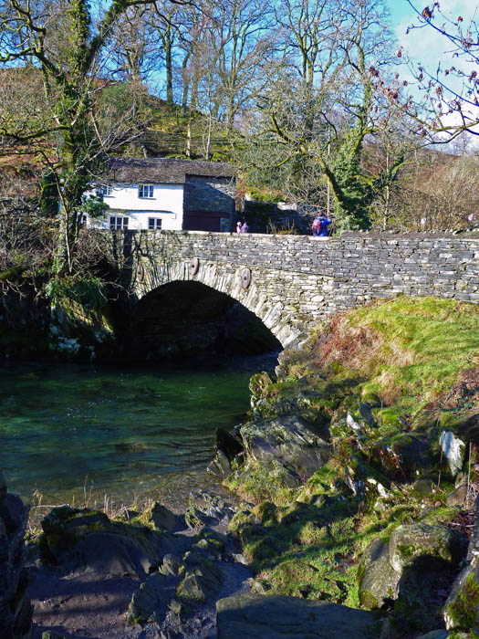
Elterwater bridge over Great Langdale beck.
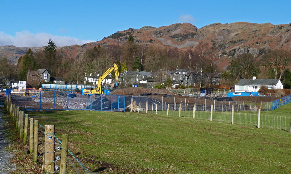
United Utilities are currently doing some major sewage work which as meant the closure of the NT Car Park. However the NT have opened a temporary car park just opposite the Brittania.
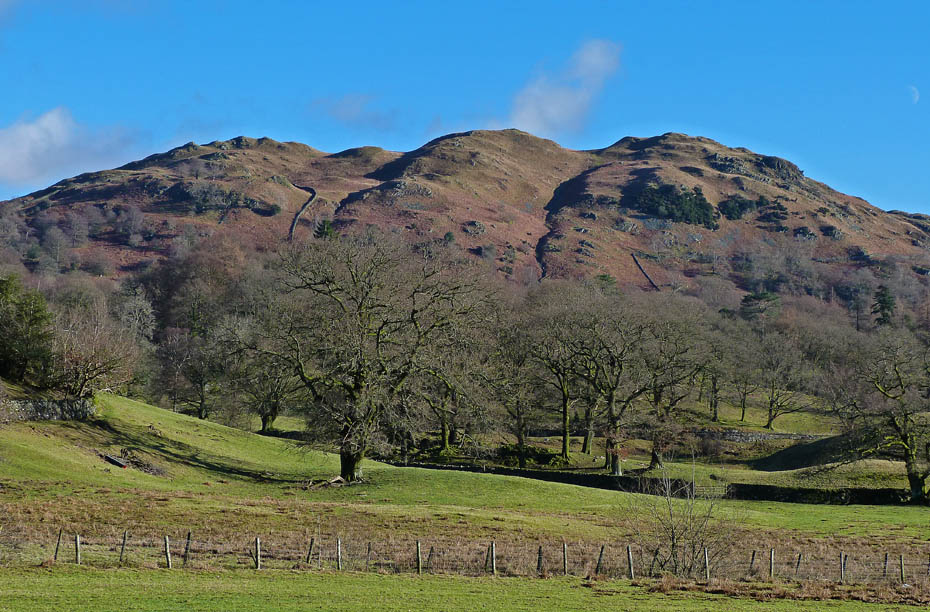
Loughrigg as we walked down the popular path to Elter Water.
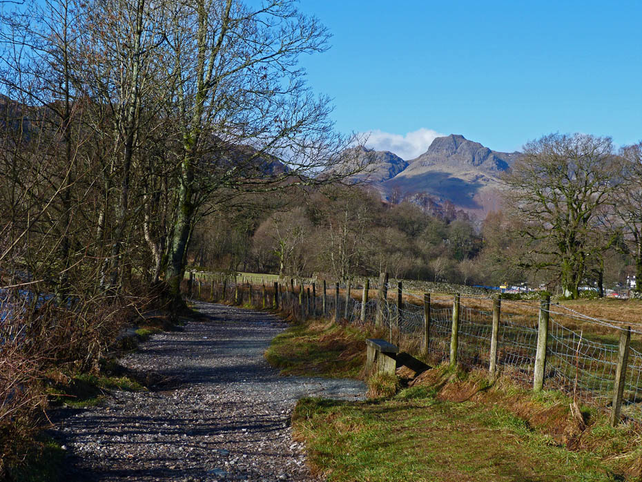
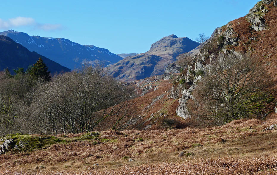
It's hard not to look back at the magnificent Langdales.
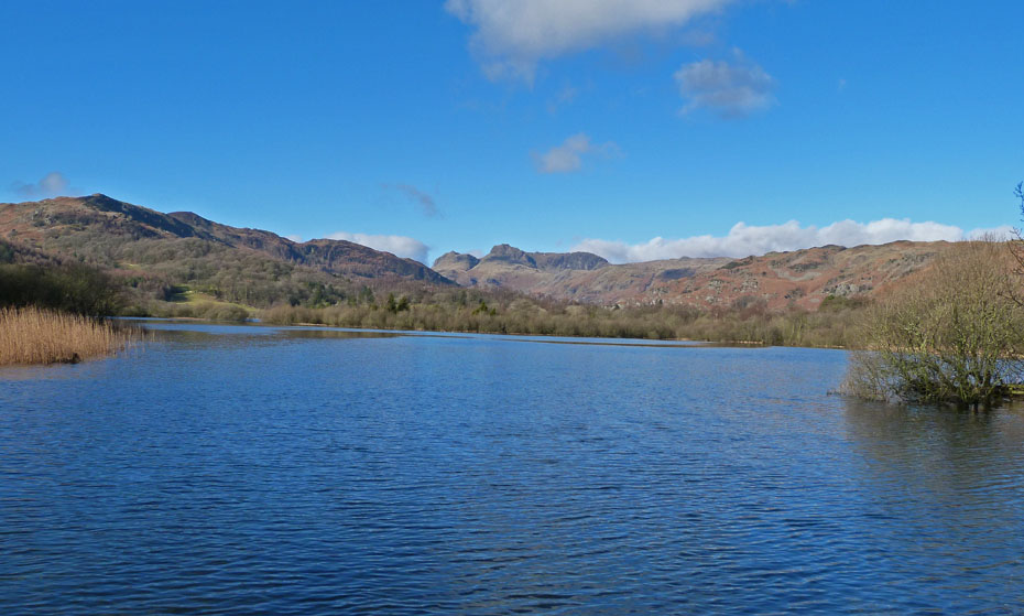
We soon arrived at Elter Water which was higher than normal after recent rain.
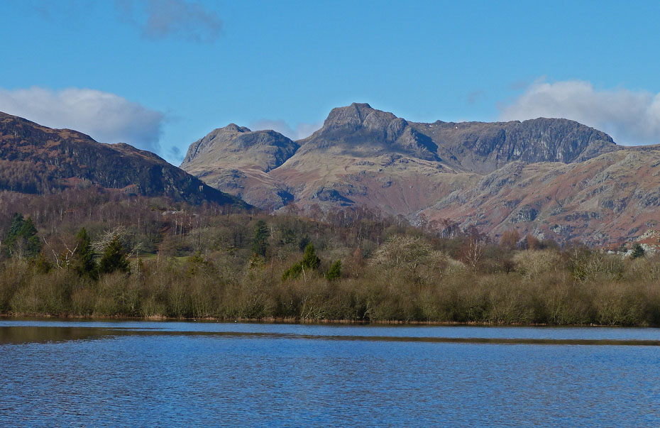
Unfortunately, because of the breeze there were to be no reflections but with views like these does it matter.
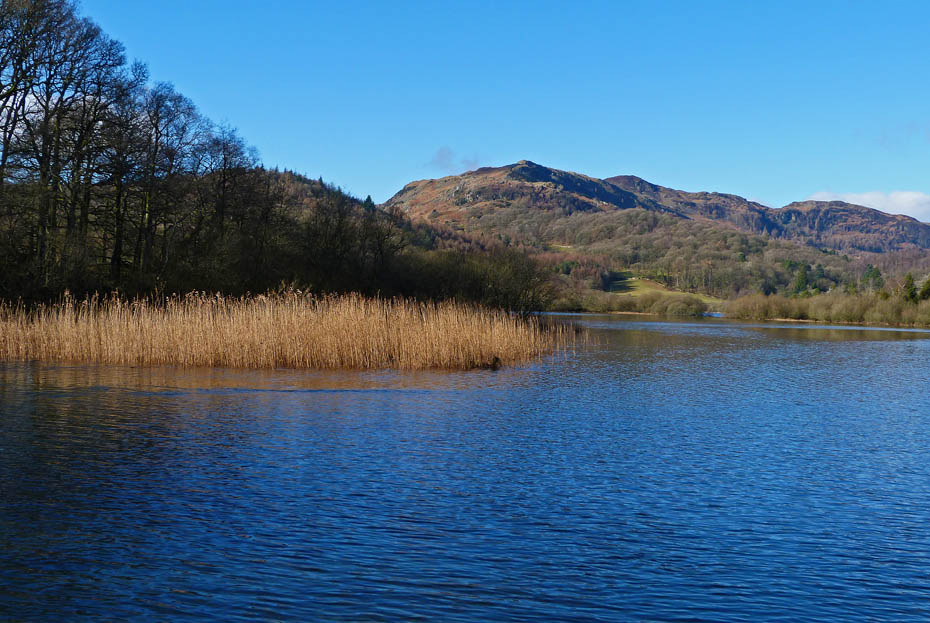
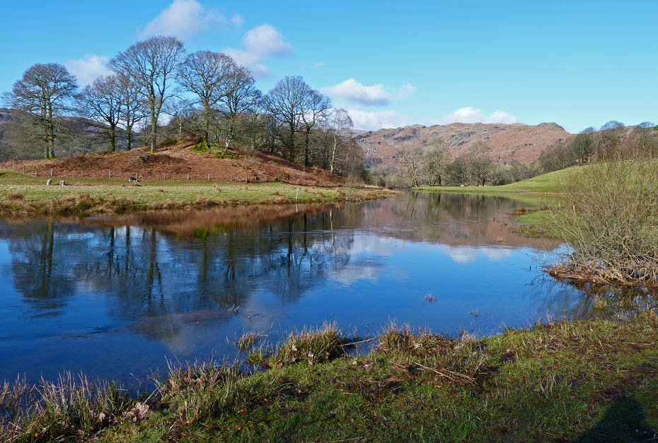
Lingmoor across Elter Water
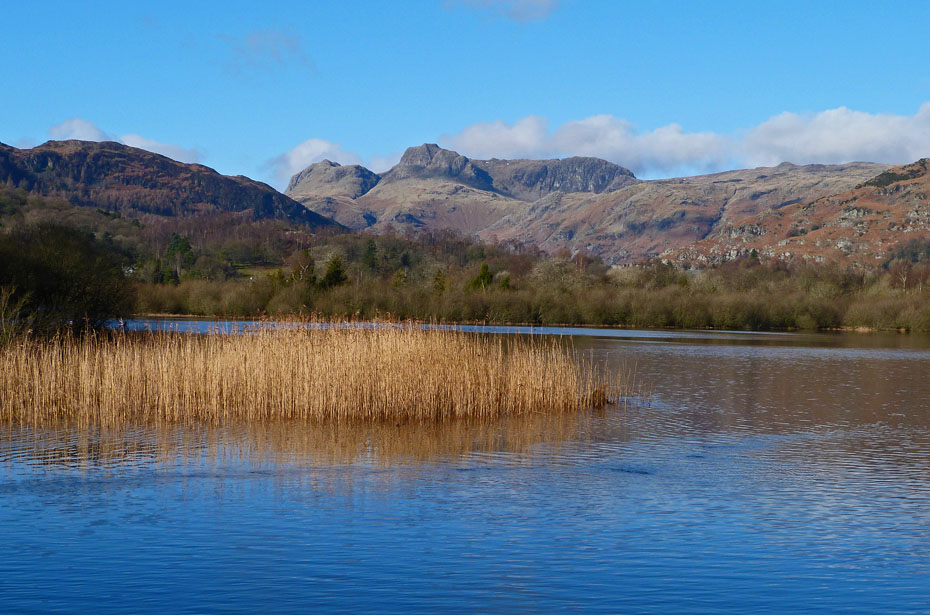
Just one more, after all this is why Edith got the camera ;-)
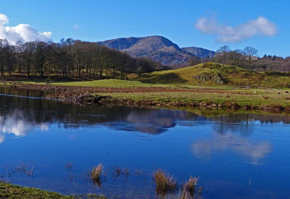
Wetherlam over the River Brathay
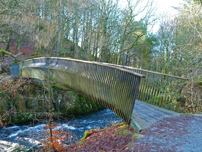
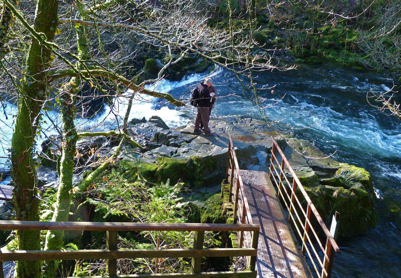
Lots of water going over Skelwith Force but I didn't bother going down.
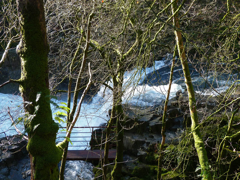
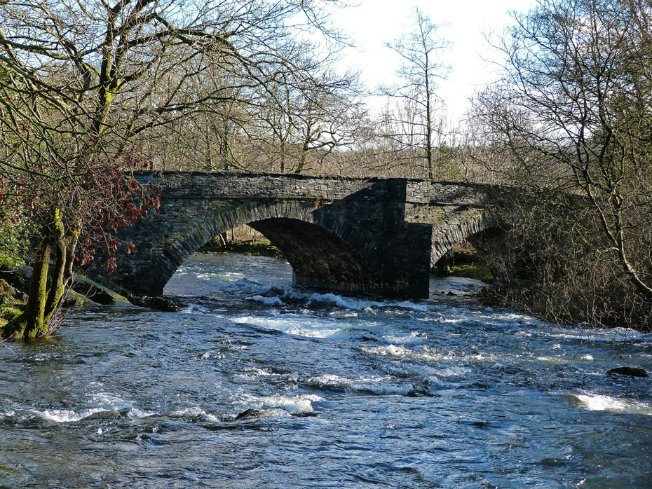
Skelwith Bridge
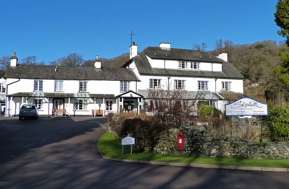
From Skelwith Bridge we took the lane up to Tarn Foot.
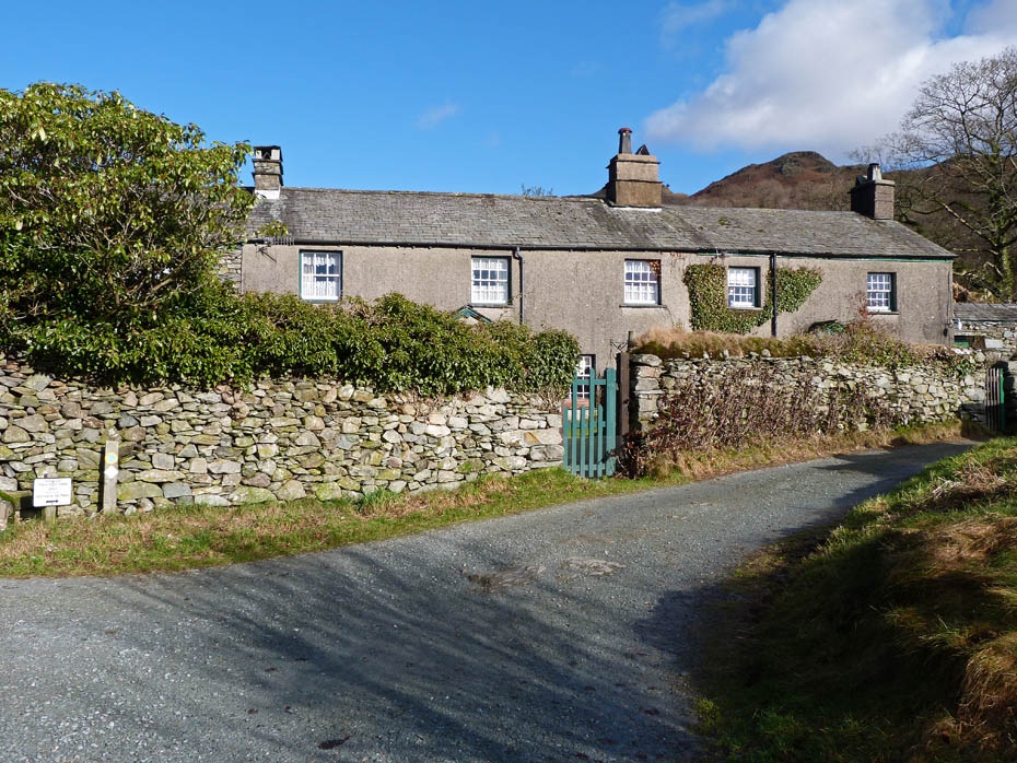
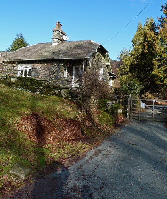
Cottages at Tarn Foot
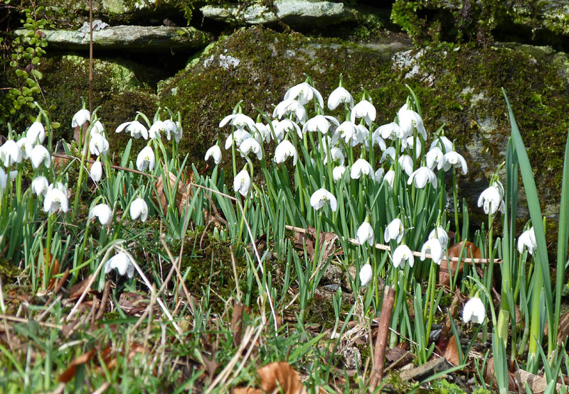
Tarn Foot snowdrops.
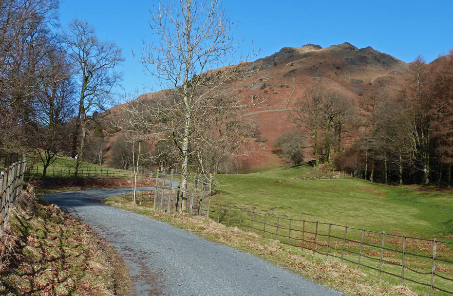
Our track would now follow the lane towards Red Bank.
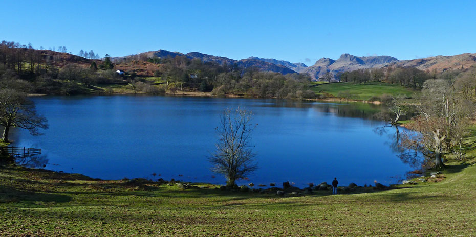
Loughrigg Tarn
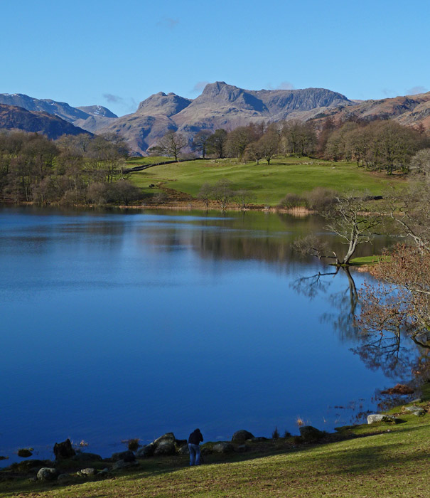
The Pikes across Loughrigg Tarn.
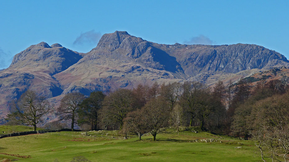
Close up Langdales.....
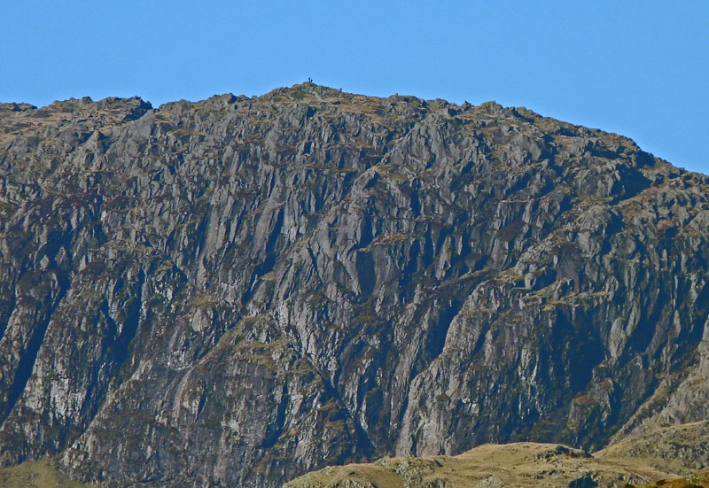
....with walkers on Pavey Ark
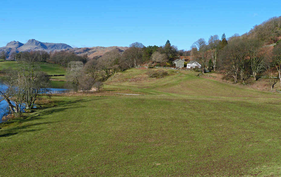
Our track went past the cottages ahead
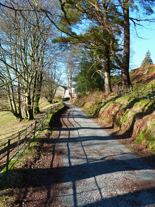
Wavy fences give wavy shadows.
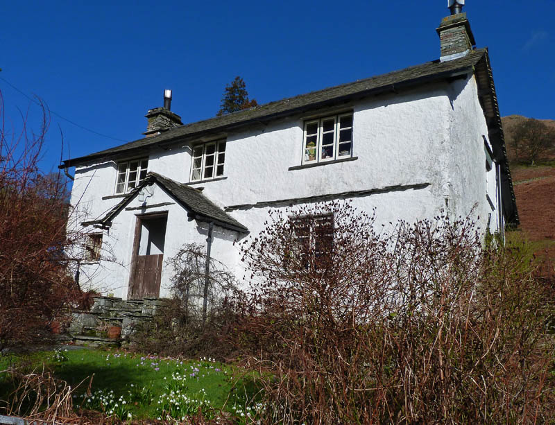
Snowdrops and Crocuses in the cottage garden.
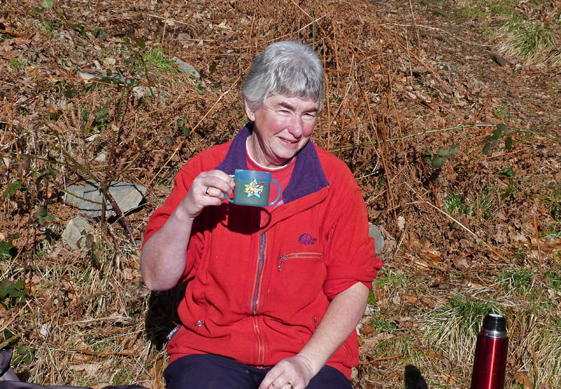
Edith as purloined one of the youngest granddaughters cups.
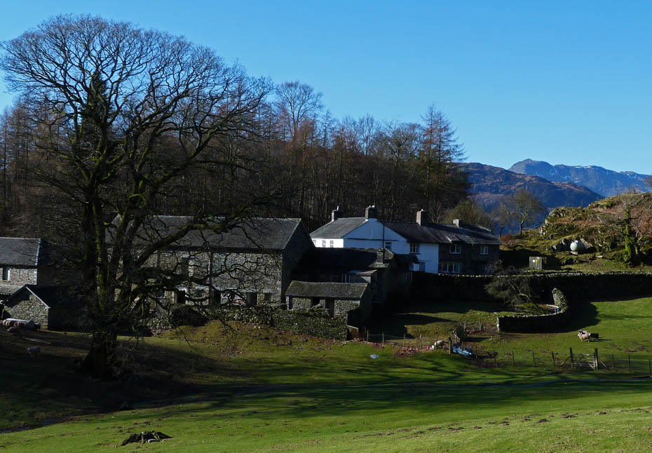
Looking down on Oaks with Bowfell making an appearance
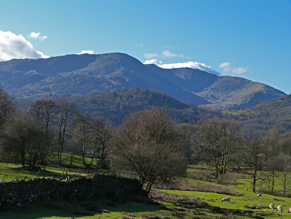
Slightly into the sun a zoom on Wetherlam
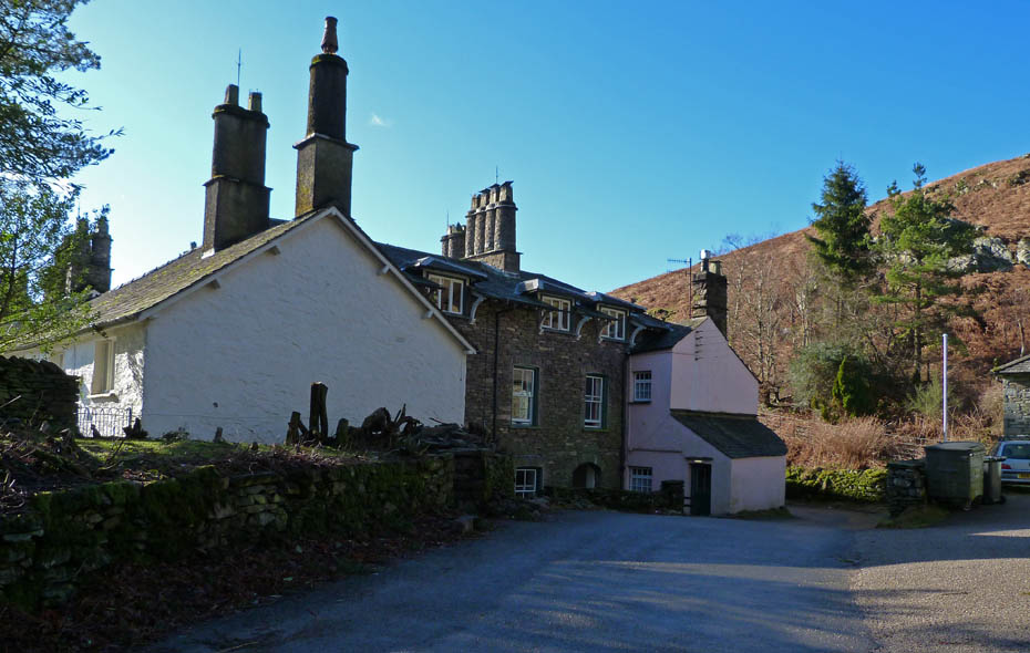
High Close YHA
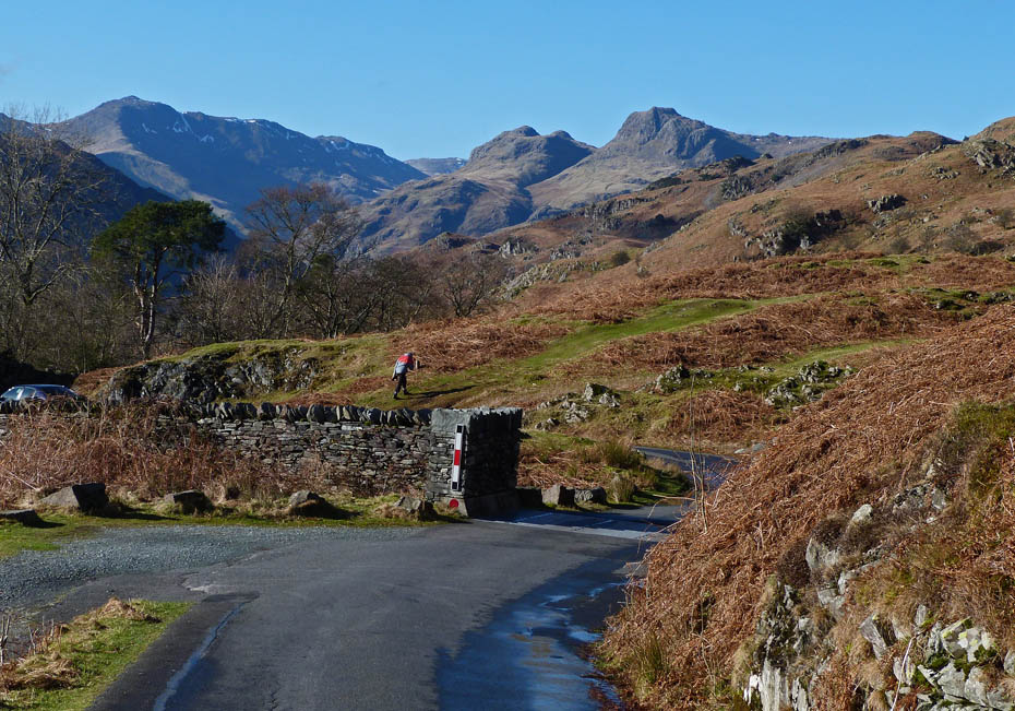
An easy walk down the road to Elterwater
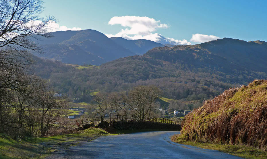
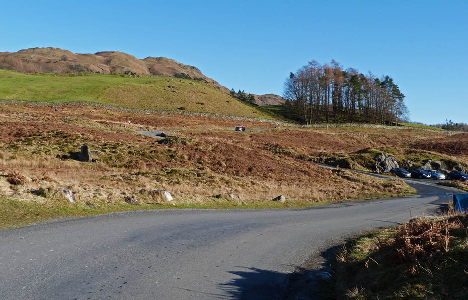
And finally.....back to the car. It was around here that I received a call from our son to say he was on his way to Ambleside. We arranged to meet him at Waterhead.
Next Walk: 12th February 2011 - Lake District - A Derwentwater walk & sail
Last Walk: 8th February 2011 - Lake District - A circuit of Rydal Water
Do you have a FaceBook or Twitter account? We post regular updates on both plus some additional pictures. Just click on either of the links below and add us.
We hope you have enjoyed viewing this walk. If you have any comments please sign our Guestbook or E_Mail us.