| Area: | Lake District | Ascent: | 400feet |
| Walk No: | 518 | Time: | 1hour 30minutes |
| Date: | 8th April 2011 | Parking: | High Dam car park |
| Distance: | 2.25miles | Weather: | Fine & Sunny |
| Route: |
For those of you that are thinking of going onto the hills I would strongly recommend that you read the advice given by the Mountain Rescue organisation of England and Wales. To read this advice, which will open in a new page please click HERE. If you would like to make a donation to the Mountain Rescue organisation which is purely voluntary please click HERE. Please make the time to read the advice page.
I am still bothered with the "wind" problem, in fact it seems to be getting worse. I'm sure it is the new medication and first thing phoned our GP to try to get an appointment. Unfortunately there were no slots available so I asked to speak to the triage nurse who has access to all the records on computer. Because the new medication was doing its job and because there is still the possibility that the problem could be a stomach bug, she advised me to stop taking the medication for a few days until the stomach problem cleared up and then to restart it. That way, if the problem returns, we can pin it down to the medication. Anyway come noon I was itching to get out. It was a glorious day, but where to go? I decided on High Dam because I thought it might be quiet and there are plenty of places if a call of nature was required. In a throwback to our bivvying days a garden trowel and loo paper was added to the equipment list.......Fortunately neither were required! :-)
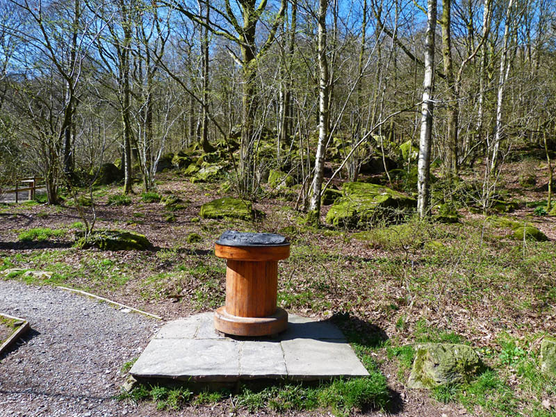
We left the car at the High Dam car park. It is supposed to be going "Pay & Display" but was still free today.
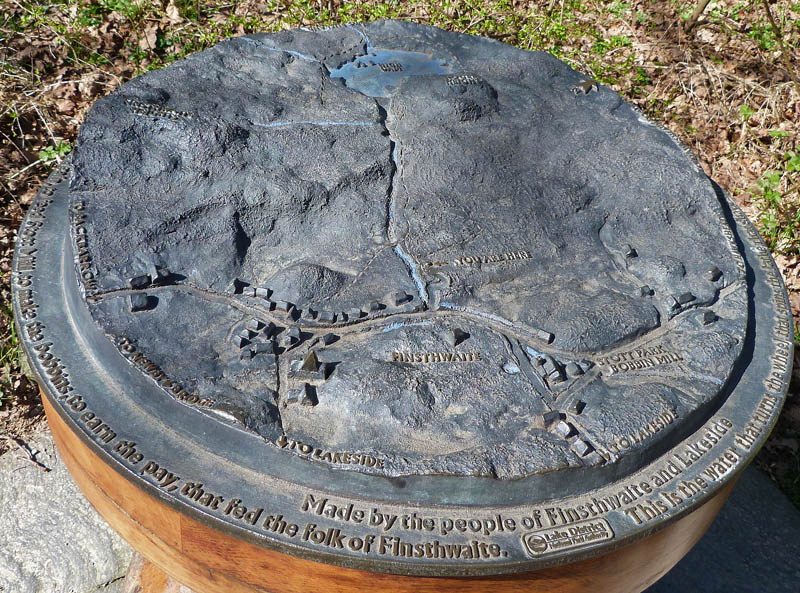
A relief map of the area on top of the bobbin shows the relationship between the tarn and bobbin mill nearby.
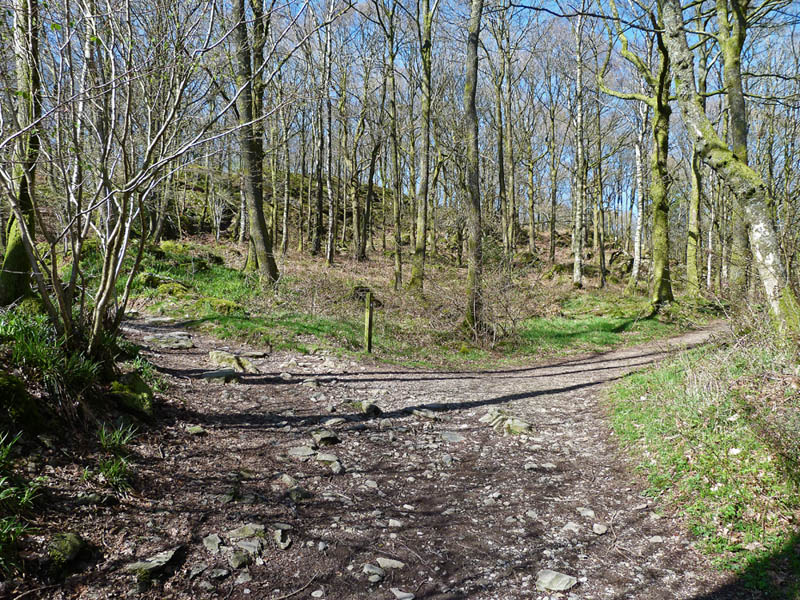
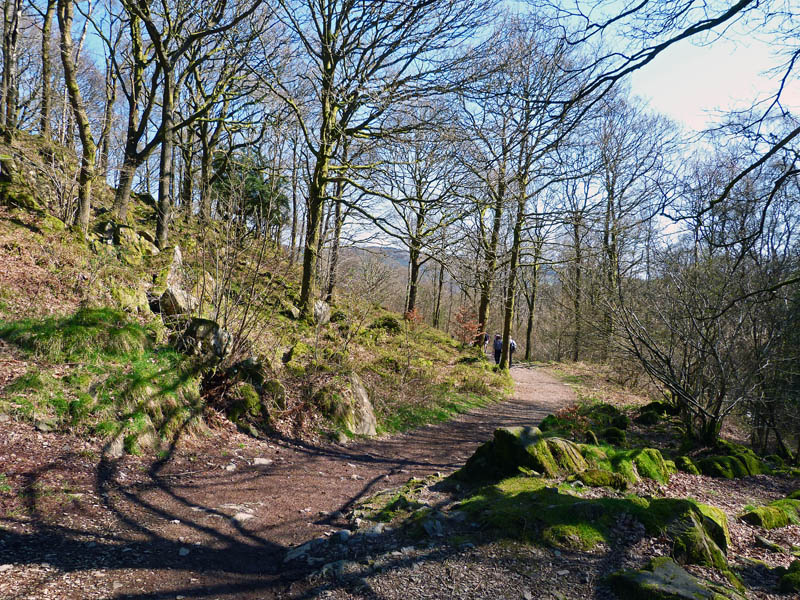
The path from the car park soon splits. We took the left branch upwards. They both join together again in a short distance.
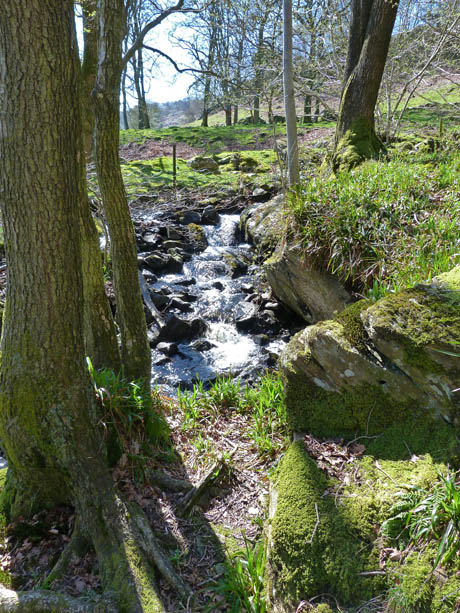
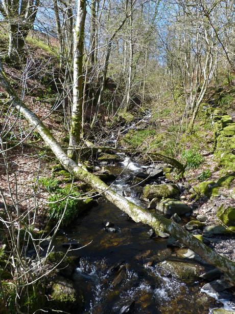
The beck down from High Dam which powered the Bobbin Mill below us.
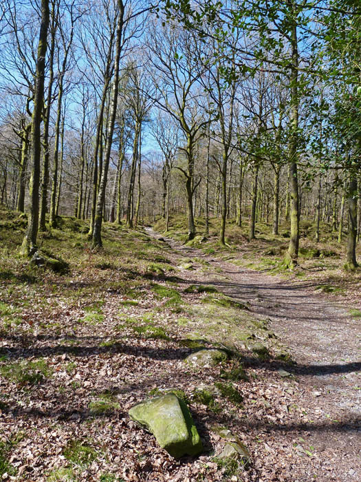
This is a beautiful spot and well worth a couple of hours if you are in the area.
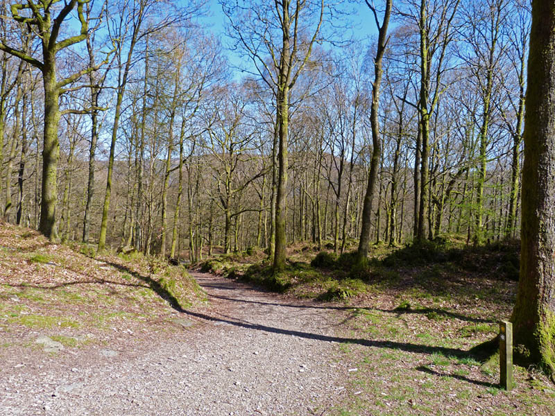
The paths have joined together again now. The path shown will be our path down.
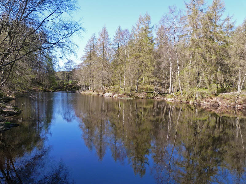
We are now at the smaller of the two tarns which as no name but is usually referred to as Low Dam.
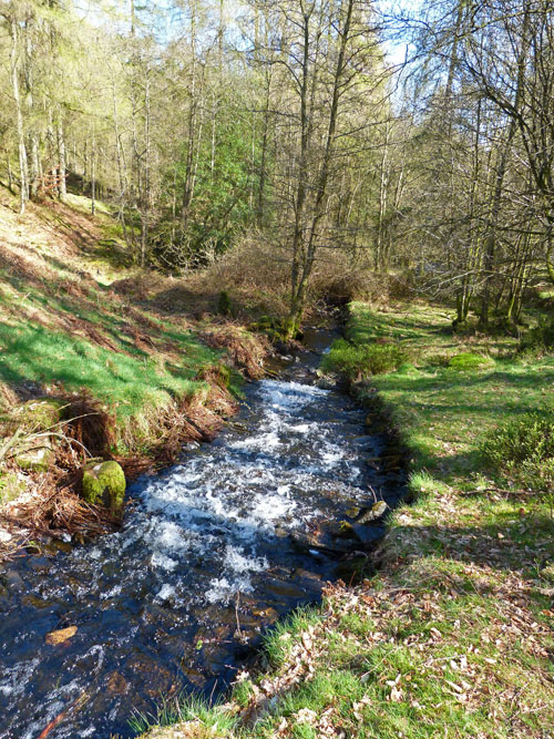
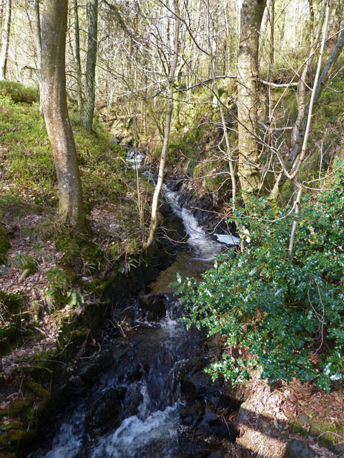
The beck tumbles down to the valley below.
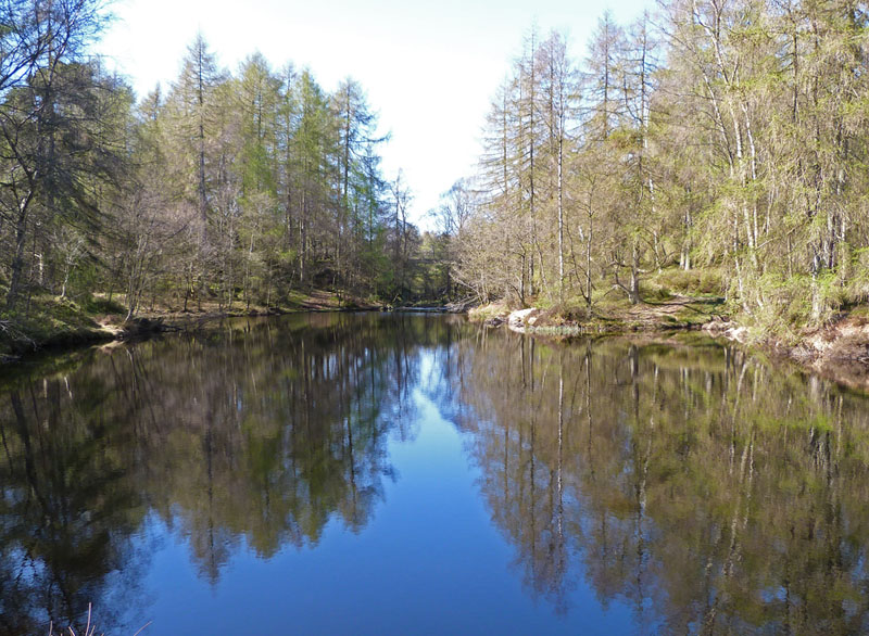
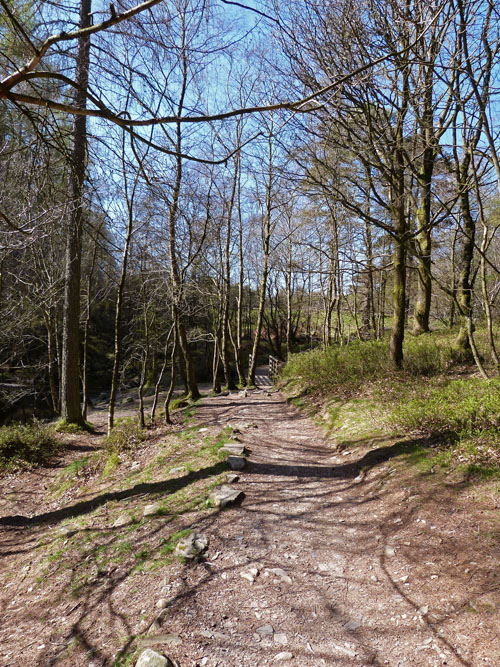
On our way again and it's only a short walk to High Dam. You can see the banking of the dam wall through the trees ahead.
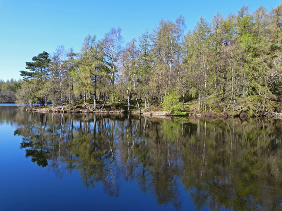
The beautiful High Dam....a Tarn Hows without the crowds. Today there is a slight breeze so reflections are hard to find.
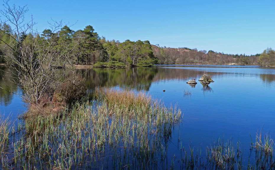
We would normally walk right round the tarn but today I don't fancy any more climbing to see will go first to the western side and then to the eastern.
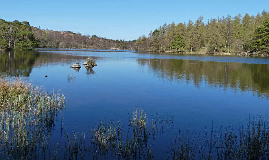
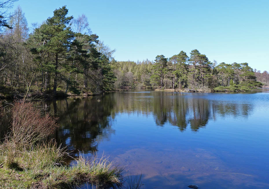
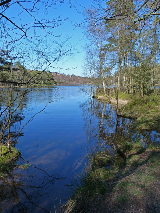
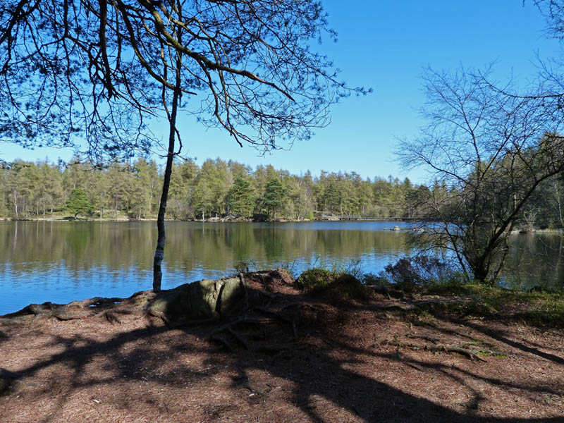
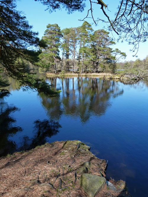
This is as far as we went to the west...
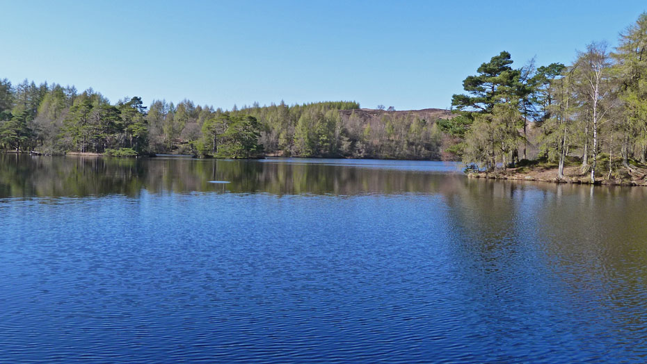
.....we returned to the dam and then walked up the eastern side....
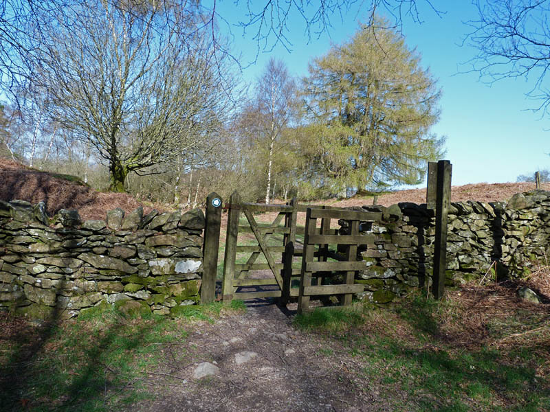
.....to go through this gate to follow a path....
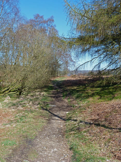
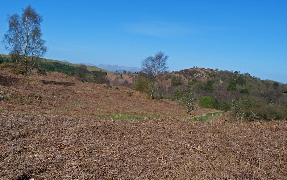
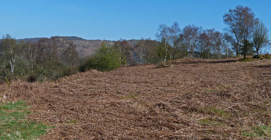
....that leads to Stott Park Heights shown ahead.
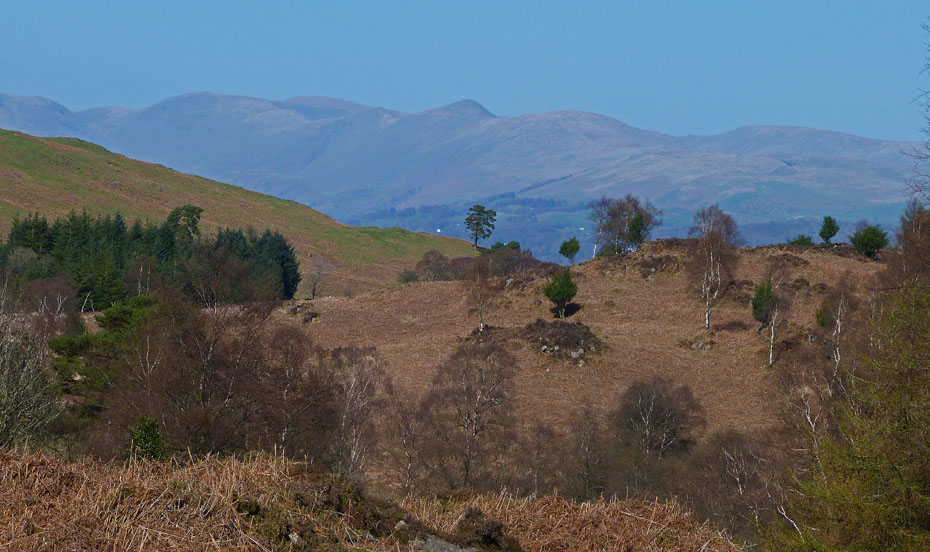
There were some familiar views to the left
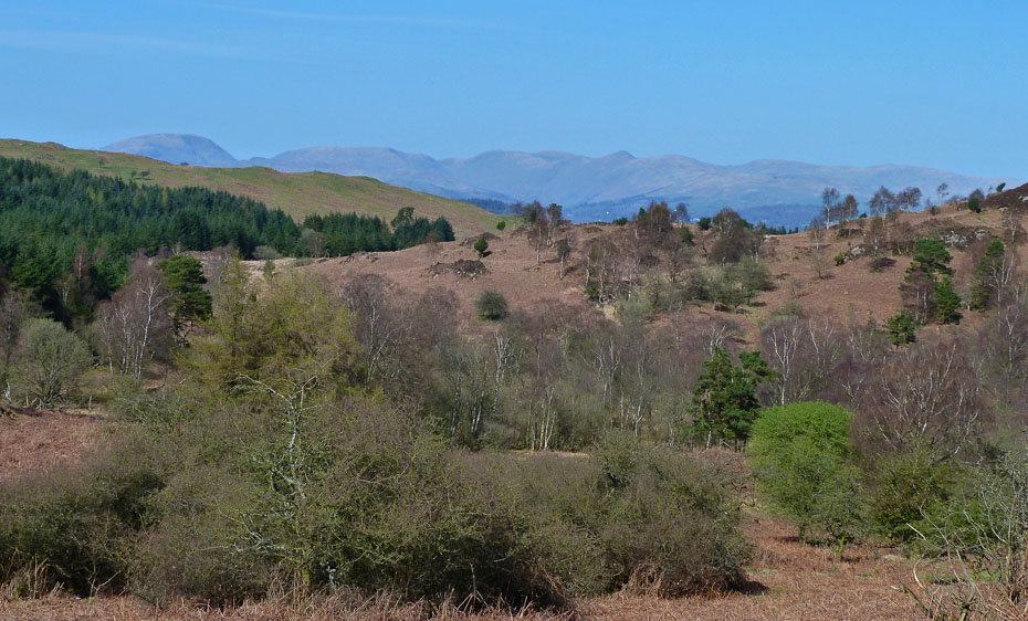
We left the path to see if we could get a view of Windermere...
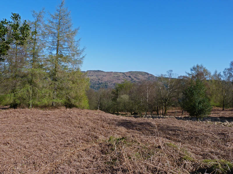
.....but it would have meant losing too much height so satisfied ourselves with a look over to Gummer's How.
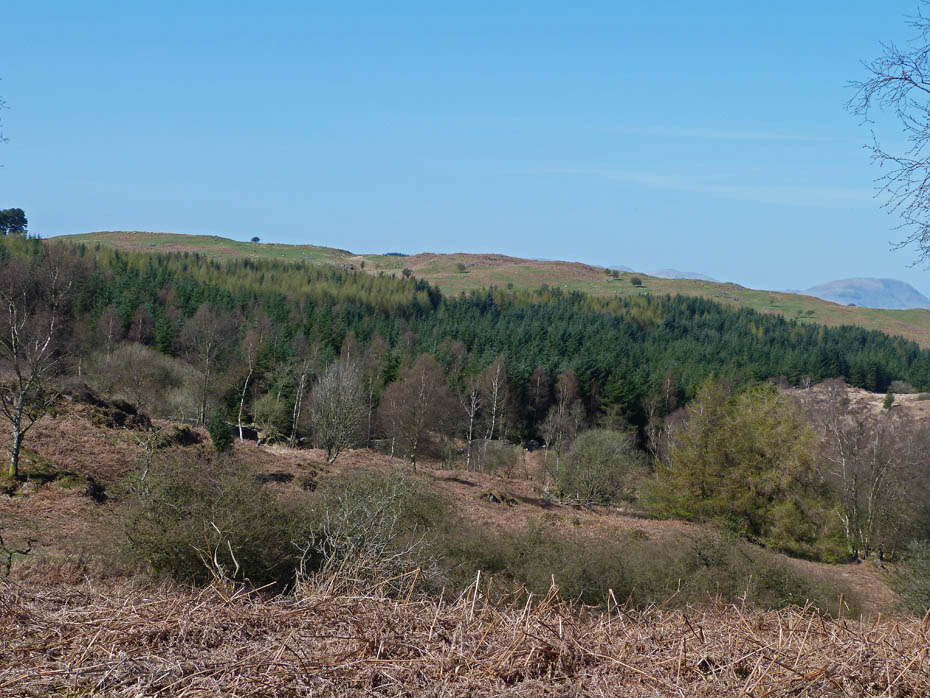
We made our way back to the path and gate...
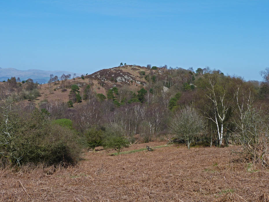
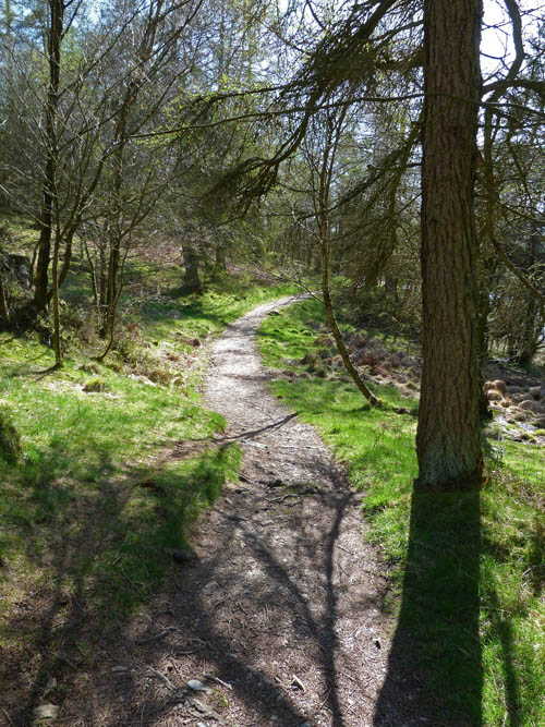
....to return to High Dam.
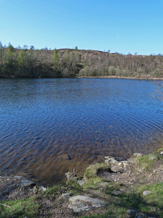
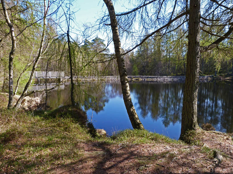
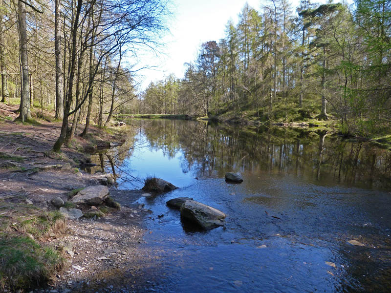
Back at Low Dam on our way back down.
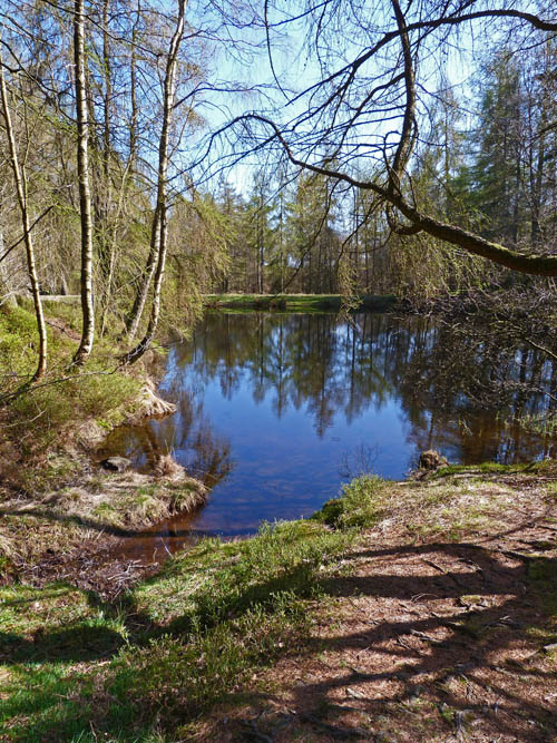
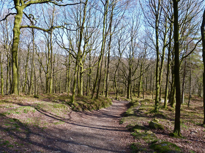
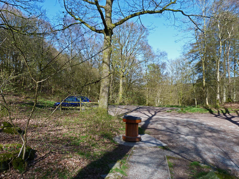
And finally....back to the car
Next Walk: 10th April 2011 - Lake District - Yewbarrow!....are you sure?
Last Walk: 7th April 2011 - NW Lancashire - A walk with Harvey
Do you have a Facebook or Twitter account? We post regular updates on both plus some additional pictures. Just click on either of the links below and add us.
We hope you have enjoyed viewing this walk. If you have any comments please sign our Guestbook or E_Mail us.