| Area: | South Cumbria | Ascent: | 780feet |
| Walk No: | 539 | Time: | 3hours 30minutes |
| Date: | 11th May 2011 | Parking: | Lay-by on A6 near Beetham |
| Distance: | 6.25miles | Weather: | Dull & Overcast to start brightening later |
For those of you that are thinking of going onto the hills I would strongly recommend that you read the advice given by the Mountain Rescue organisation of England and Wales. To read this advice, which will open in a new page please click HERE. If you would like to make a donation to the Mountain Rescue organisation which is purely voluntary please click HERE. Please make the time to read the advice page.
---------------------------------------------------------------
The day started very dull and quite breezy and the forecast was for it to stay that way with occasional showers. We decided to have a walk through the Deer Park at Dallam Towers and take it from there. As luck would have it the day started brightening and we were blessed with some good views of Lakeland as we returned over Haverbrack and Beetham Fell.

Route Map
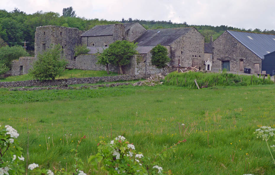
We left the car in a lay-by on the A6 near Beetham Hall.
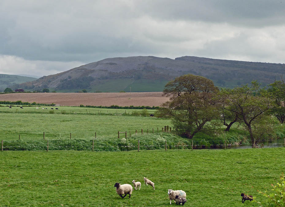
Farleton Knott and frisky lambs as we walk towards Beetham
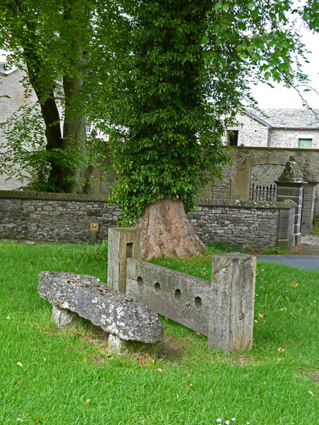
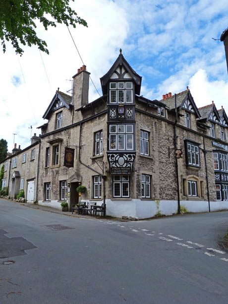
Walking through the village we passed the stocks (l) and the Wheatsheaf Hotel (r)
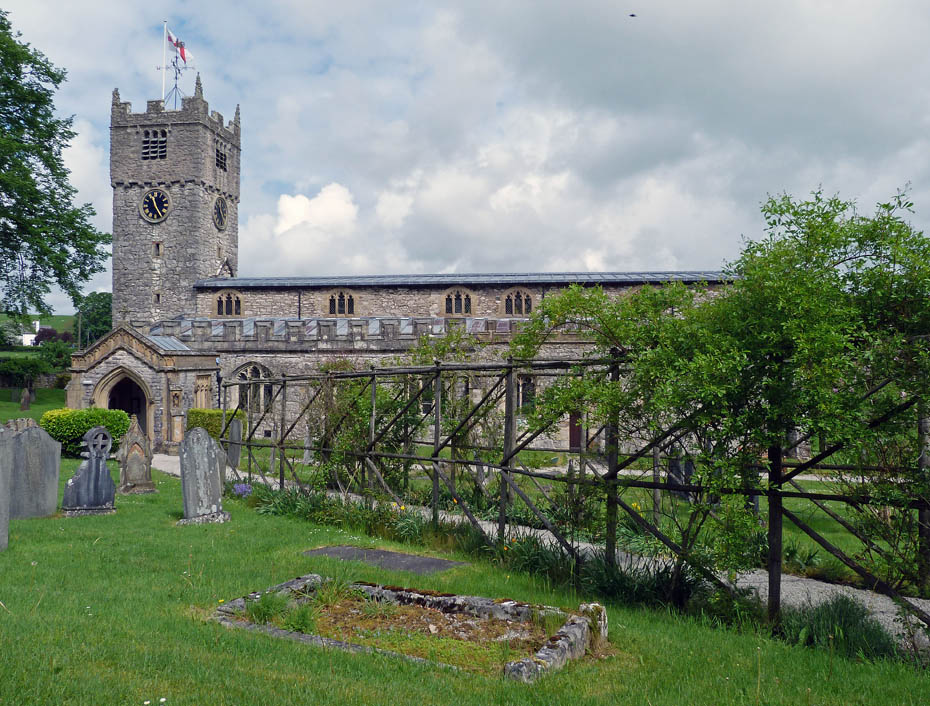
St Michaels and All Angels Church.....you can see that we had a late start!!..........The church originally served the parish of Arnside, and every Sunday the parishioners would be expected to walk across the marshes, navigating the narrow ‘Fairy Steps’, steep steps cut into the limestone cliffs, until they came to Beetham. These steps also had to be navigated when funerals were being conducted, the coffins being hoisted over the limestone cliffs using metal rings embedded in the rock. In 1866, the church at Arnside was consecrated, and the walk between Arnside and Beetham was no longer taken by the parishioners of Arnside.
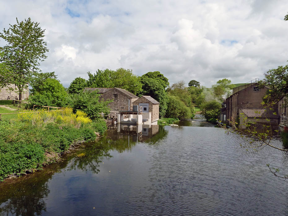
The Heron Corn Mill....more info HERE
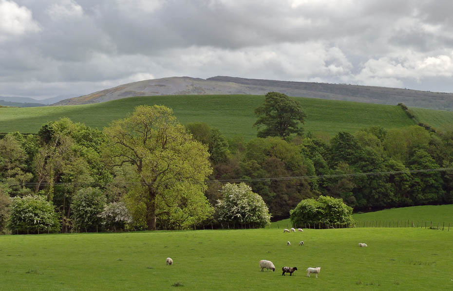
From the corn mill we took the uphill path into the Deer Park.
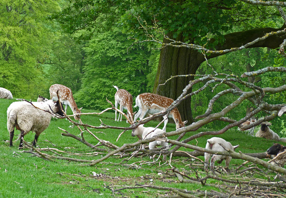
First sightings. but these are only a few stragglers.....
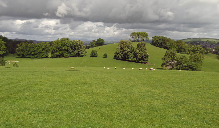
....the main herd is down in the dip on the far left. Using my best tracking skills we headed off to the left to keep a small copse between us.
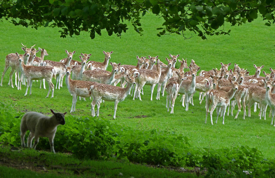
Once round the copse I quietly made my way through it towards the herd. All was going quite well until the lamb noticed me and started bleating.
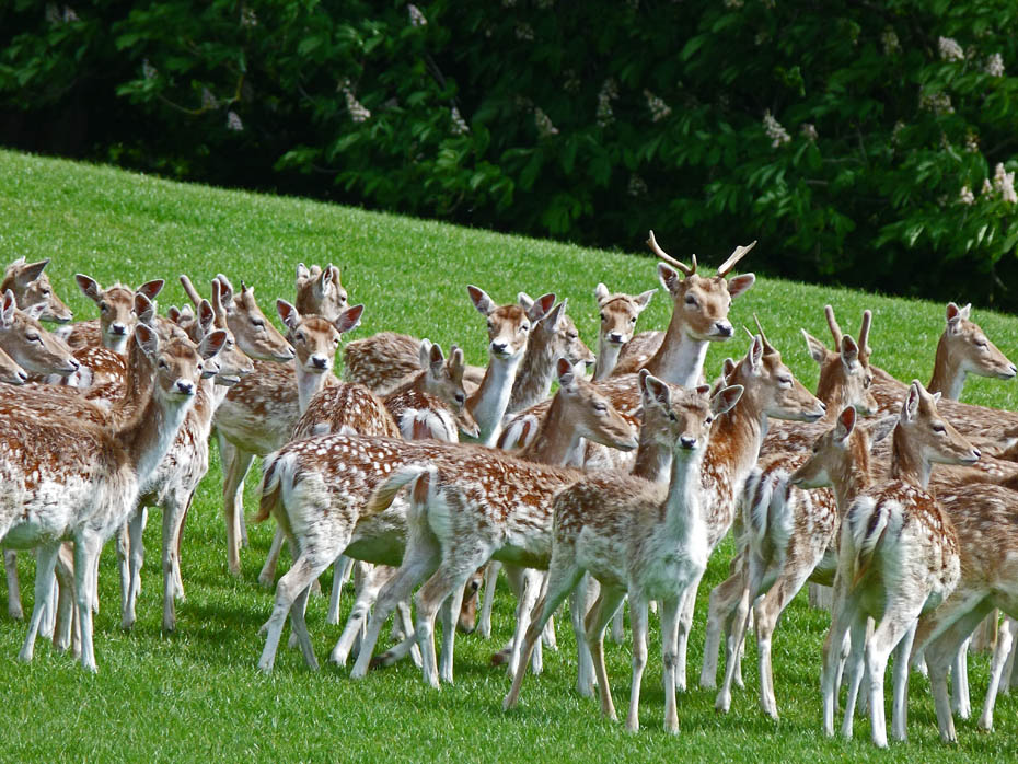
However they didn't move at first so I managed a few shots....
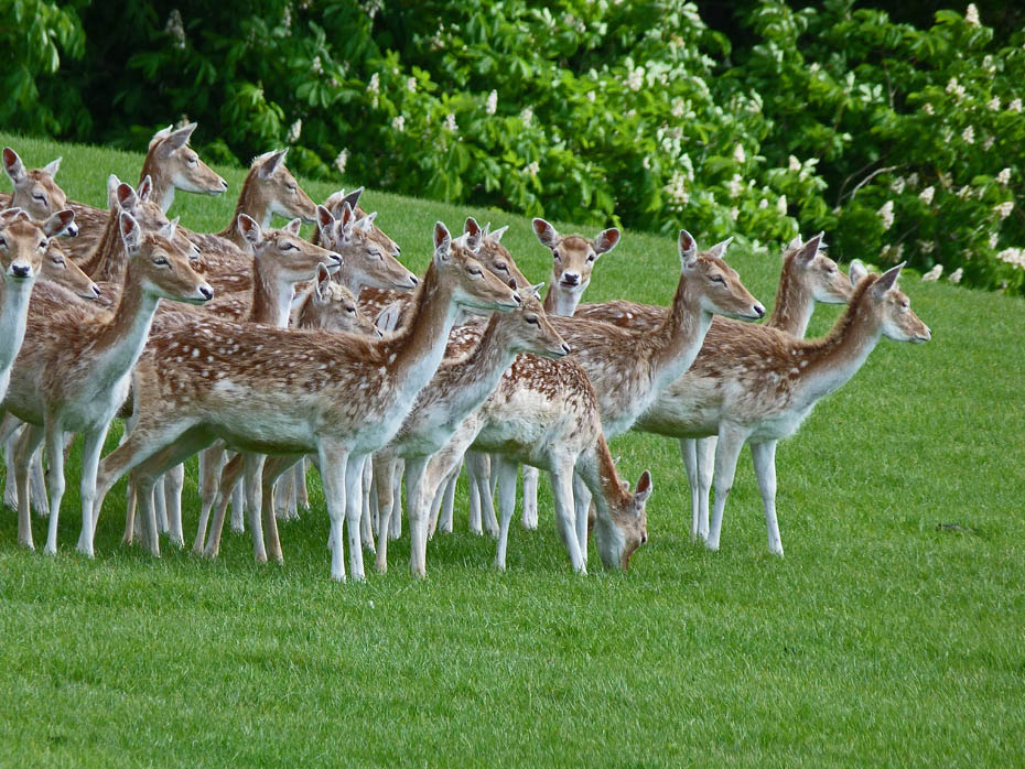
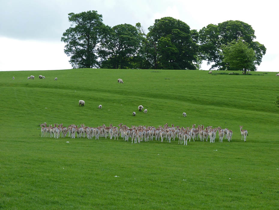
....until they had had enough of me and moved away.
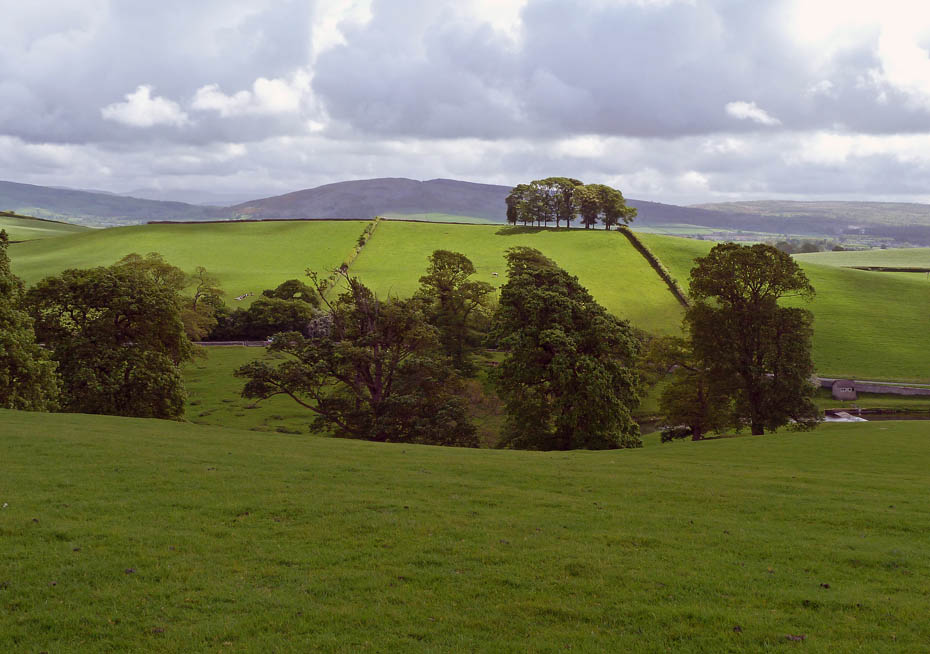
We made our way to the highest part of the park....
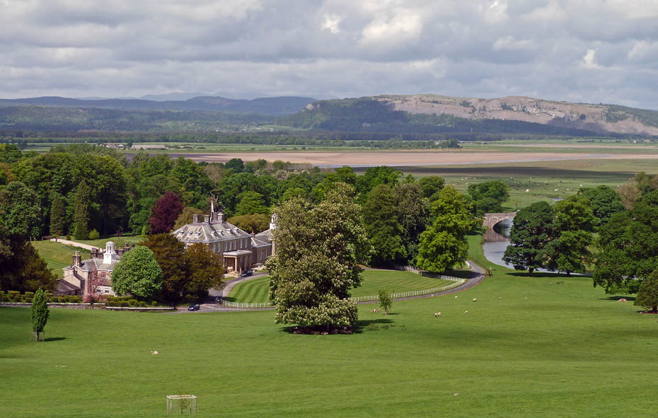
....from where the views over to Whitbarrow were pretty good.
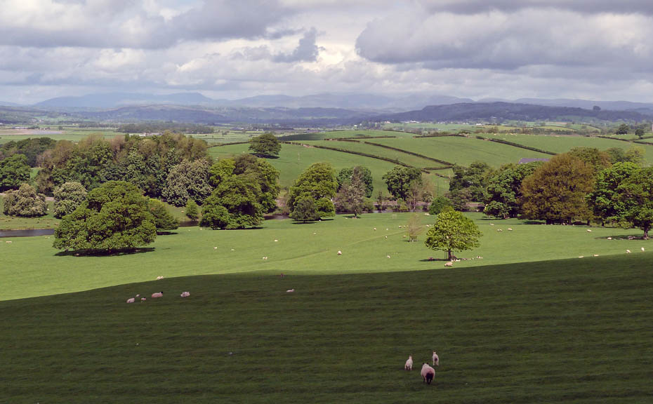
Distant Eastern and Far Easter Fells with a dark Scout Scar to mid-right.
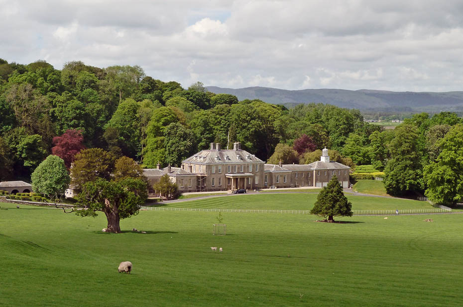
Dallam Tower.....A Grade 1 Listed Building.
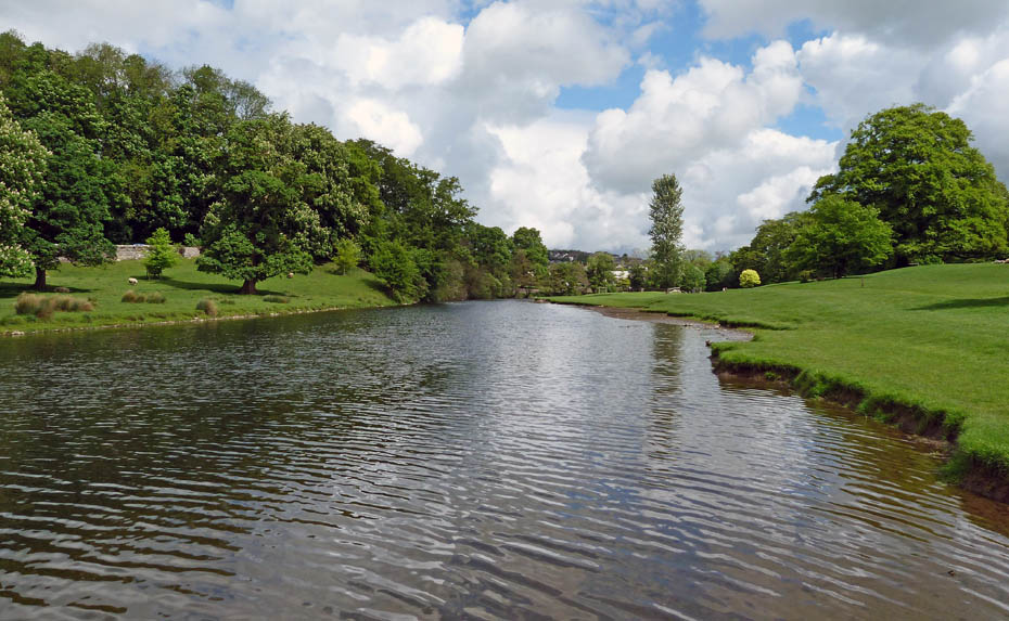
We made our way down to the banks of the River Bela to follow it downstream.
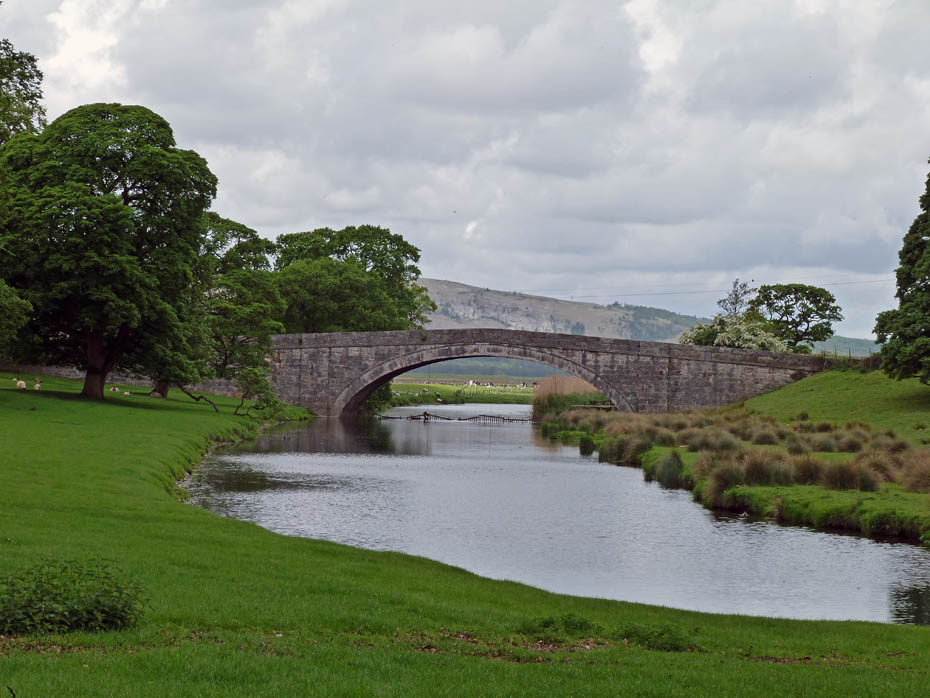
Milnthorpe Bridge is a grade II listed bridge over the River Bela, built in 1813 as part of the Milnthorpe to Arnside turnpike road. Before the turnpike, the old road passed through Dallam Park, and crossed the Bela over what is now a footbridge at the west end of Park Road
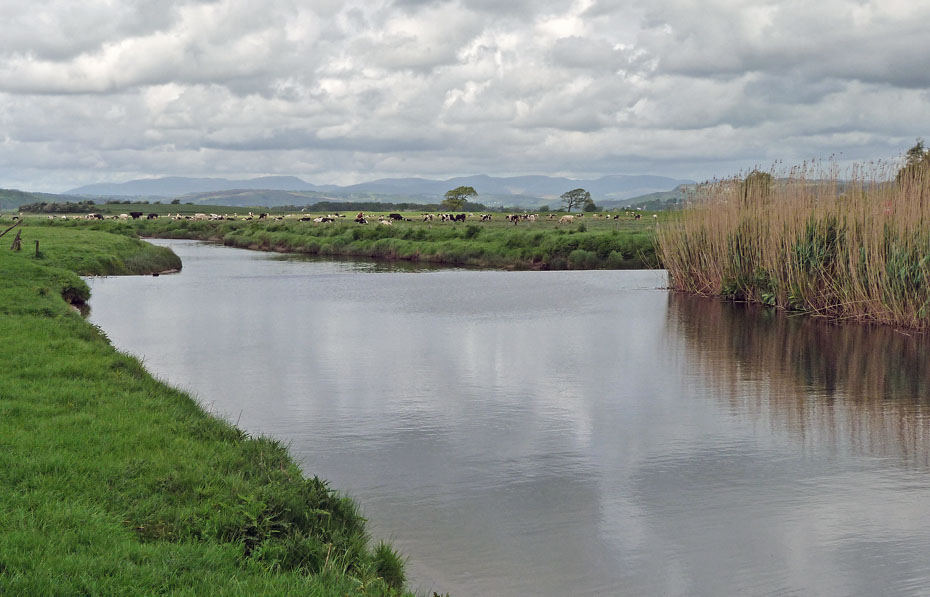
We left Dallam Park at the bridge and crossed the road to carry on following the river.
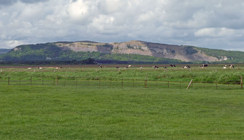
The southern scars of Whitbarrow.
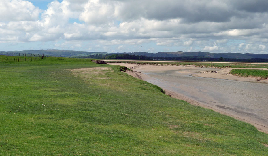
This section of the River Bela is tidal and it will shortly join into the River Kent and then to Morecambe Bay.
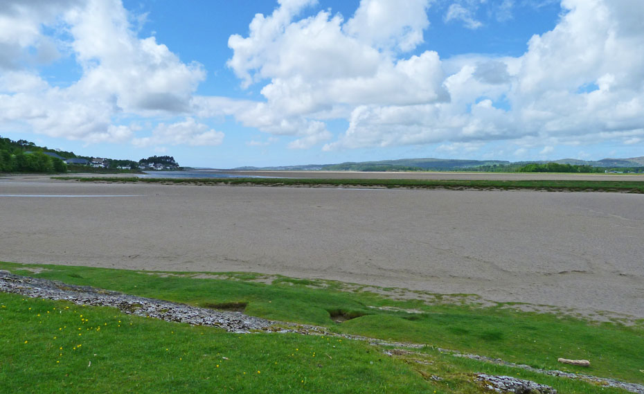
Looking down the Kent estuary towards Sandside. The River Kent is on the other side of the grassy banking.
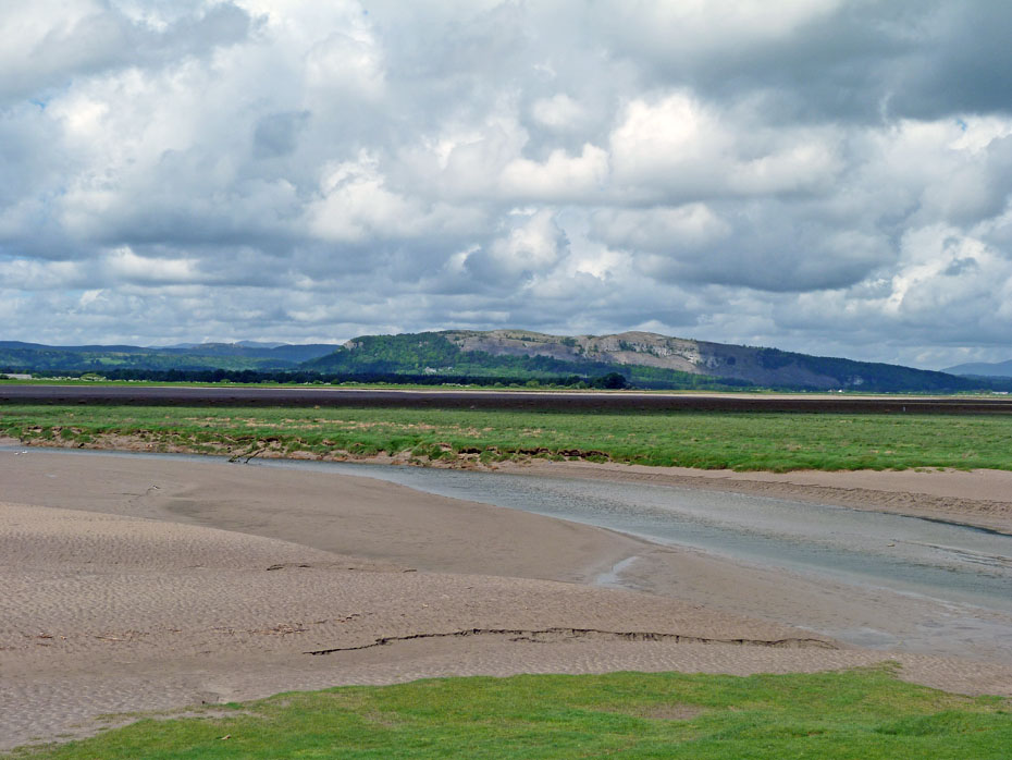
Whitbarrow
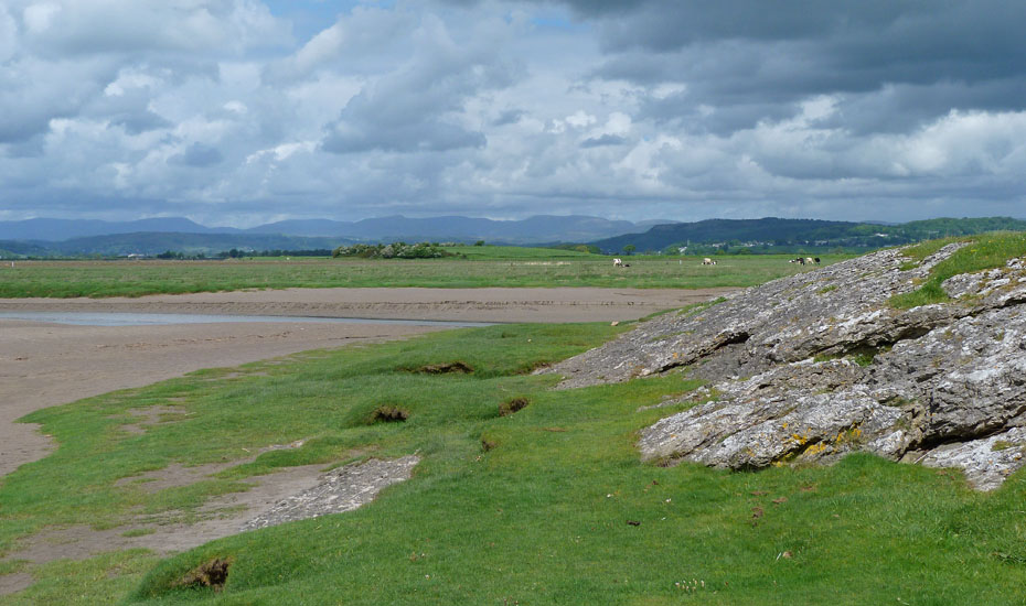
A dark looking Scout Scar with the Eastern and Far Eastern Fells of Lakeland behind.
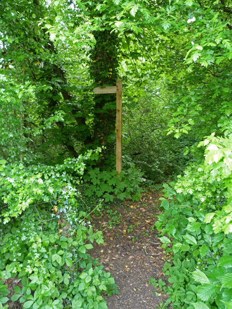
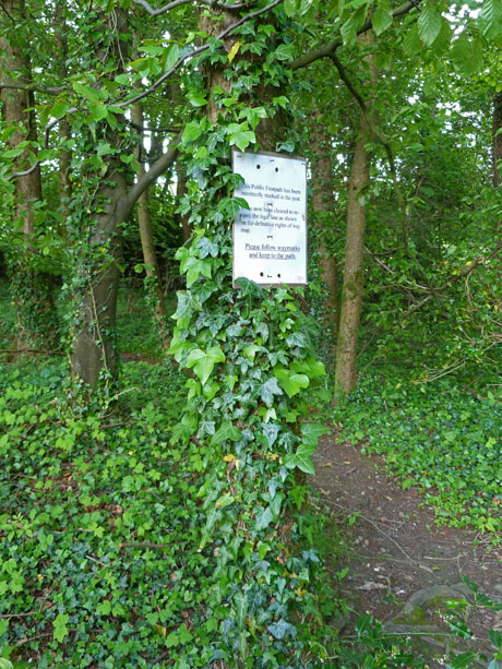
After crossing the road we took the path up through the woods.
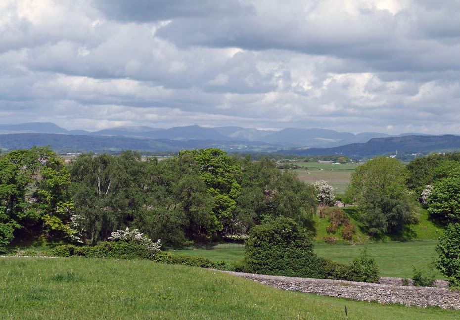
As we gain a little height the views start to open.
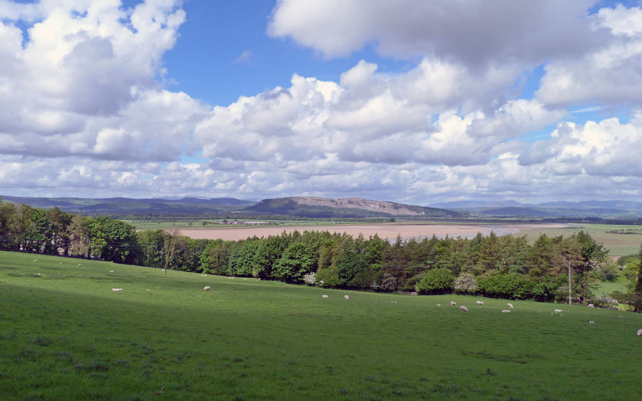
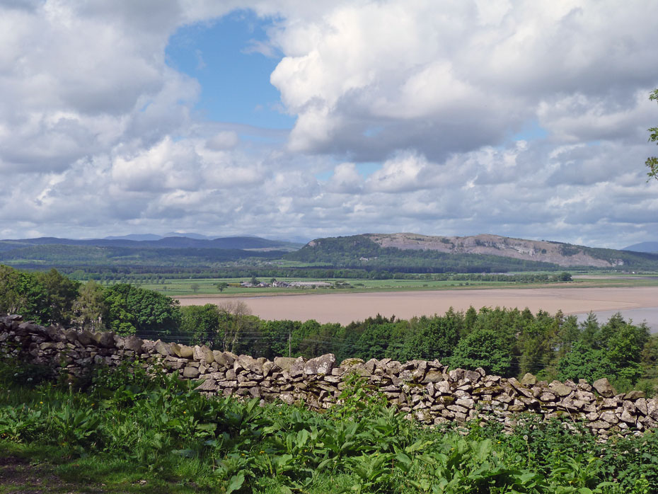
Distant Conistons Fells to the left of Whitbarrow...
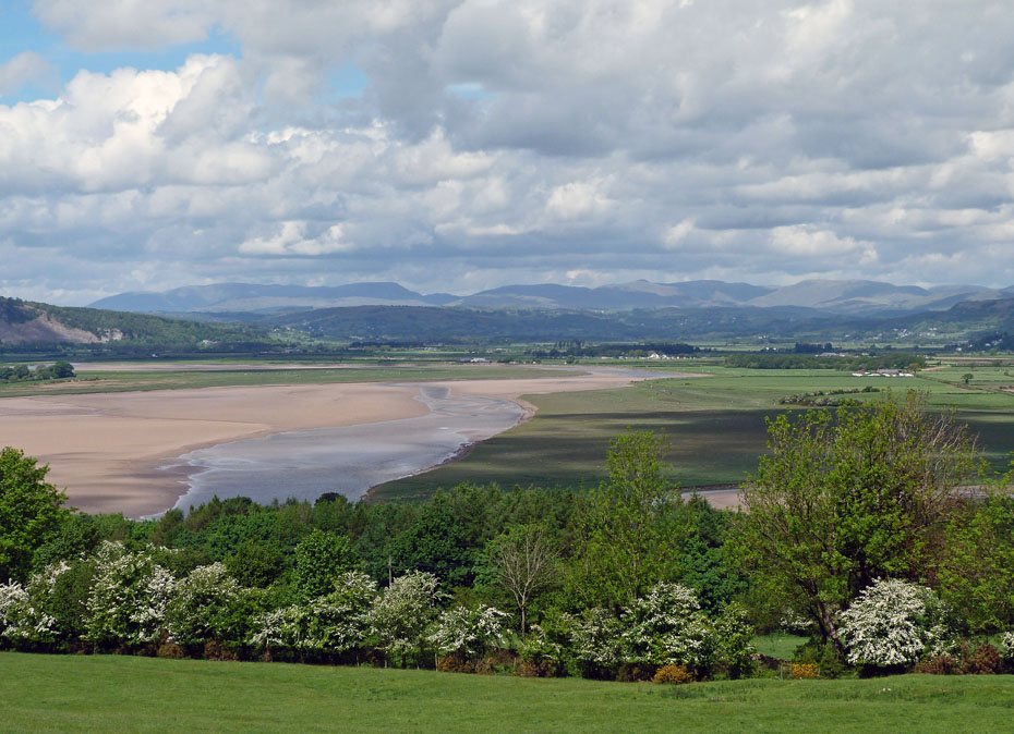
My favourite Lakeland Fells...
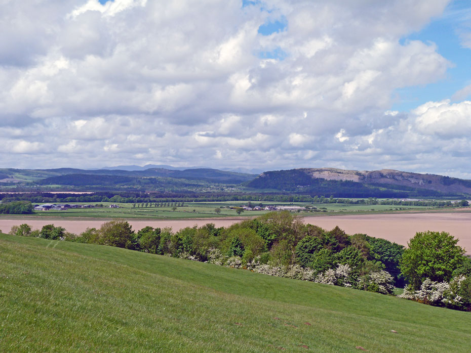
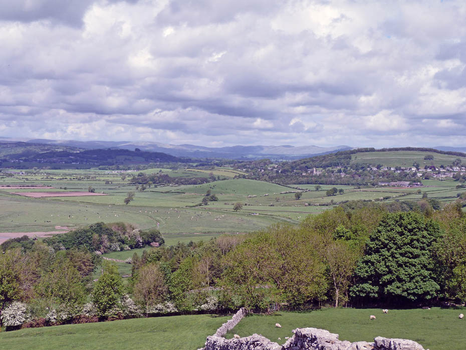
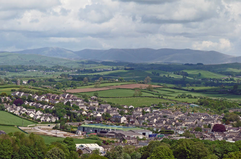
Looking over Milnthorpe to the Howgill Fells
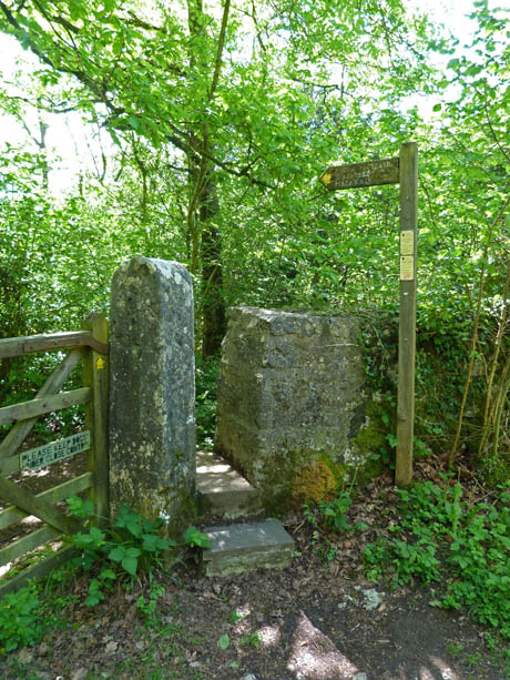
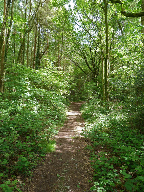
Having descended from Haverbrack to the minor road we then took a path over Beetham Fell
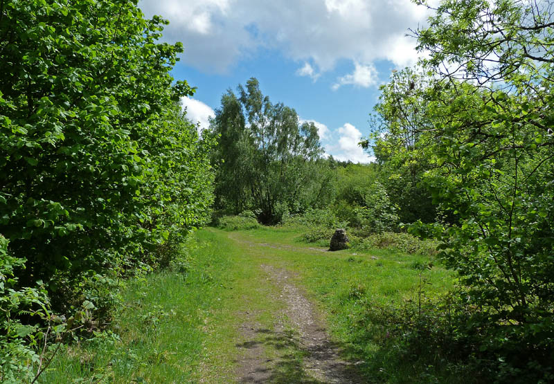
At the marker cairn we took a path off to the left. If you wanted to add the " Fairy Steps " to the walk go right.
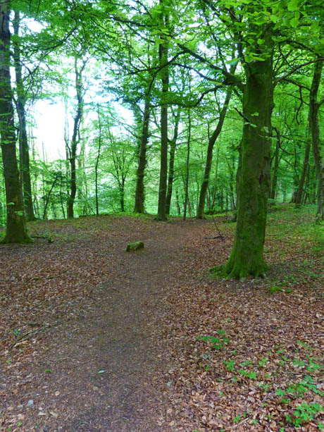
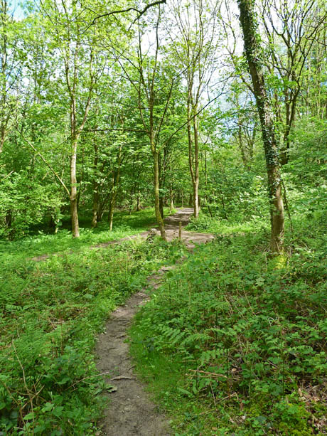
The path took us down through lovely woodland to Slack Head...
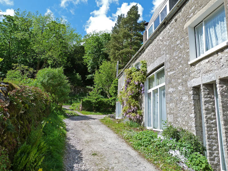
.....from where a short walk down the road took us to a path....
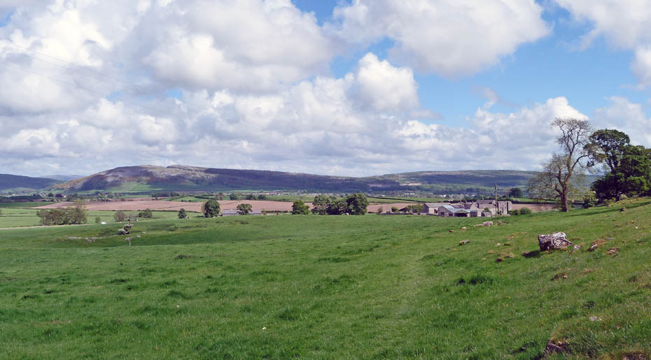
.....that goes to Hale...
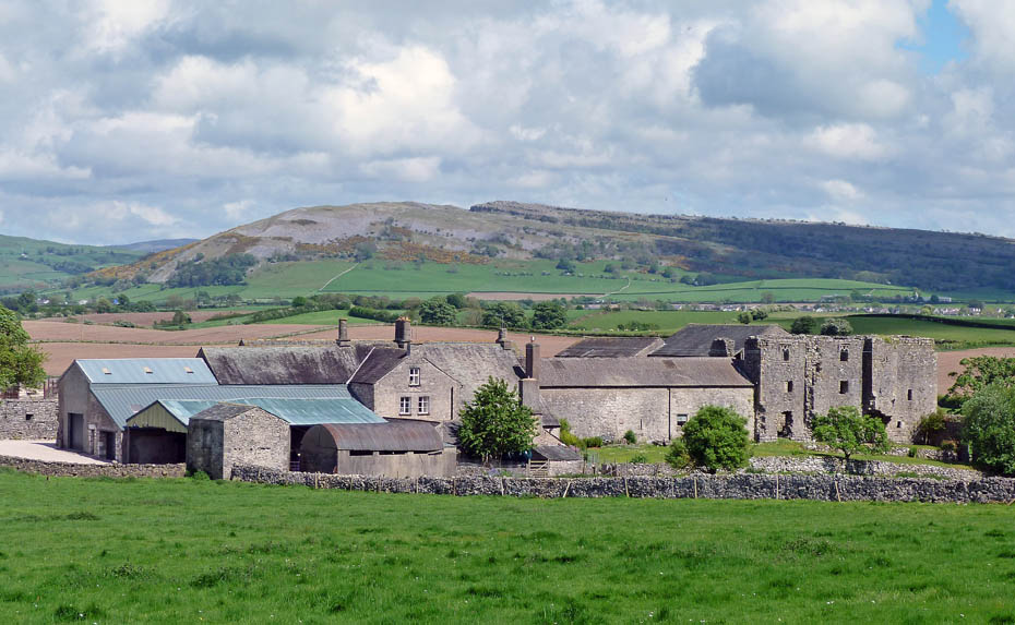
.....passing behind Beetham Hall where the old buildings can be seen.
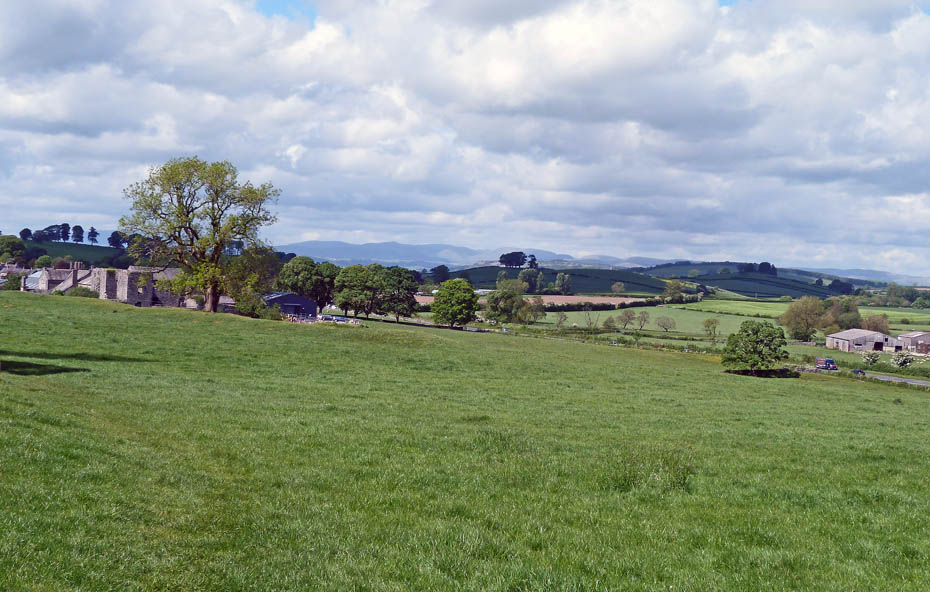
There's the car in the lay-by as we head towards Hale. Just before entering Hale a path leads down to the A6..
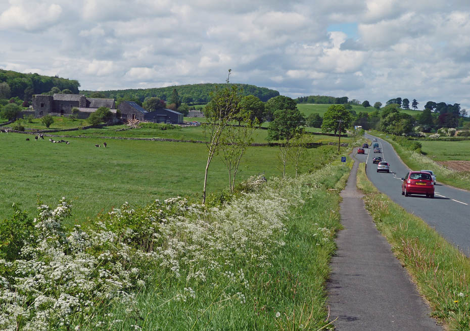
....and leaves a short walk back to the lay-by
Next Walk: 18th May 2011 - Lake District - School Knott from Cleabarrow
Last Walk: 9th May 2011 - Local - Sunderland Point & Sambo's Grave
Do you have a Facebook or Twitter account? We post regular updates on both plus some additional pictures. Just click on either of the links below and add us.
We hope you have enjoyed viewing this walk. If you have any comments please sign our Guestbook or E_Mail us.