
| Area: | Lake District | Ascent: | 1040feet |
| Walk No: | 547 | Time: | 4hours |
| Date: | 2nd June 2011 | Parking: | Roadside near Clappersgate |
| Distance: | 5.50miles | Weather: | Overcast at start brightening later |
For those of you that are thinking of going onto the hills I would strongly recommend that you read the advice given by the Mountain Rescue organisation of England and Wales. To read this advice, which will open in a new page please click HERE. If you would like to make a donation to the Mountain Rescue organisation which is purely voluntary please click HERE. Please make the time to read the advice page.
---------------------------------------------------------------
We were undecided as to where we were heading when we left home as the weatherman didn't seem to know where the best weather would be. We decided to head up the M6 as far as Junction 36 and then decided would it be the Lakes or Dales. Just short of J36 a wee bit of blue sky appeared to the west so it was to the Lakes we headed and we were soon parked up at the roadside near the River Brathay at Clappersgate. Unfortunately the day didn't brighten quite as quickly as predicted but the views were still good particularly towards the end.
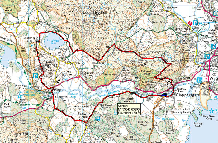
Rout Map
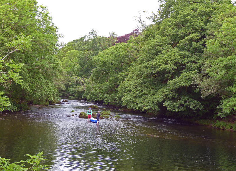
We left the car near the River Brathay at Clappersgate where these two youngsters seemed to be doing more paddling than canoeing in the shallow water.
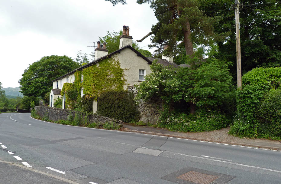
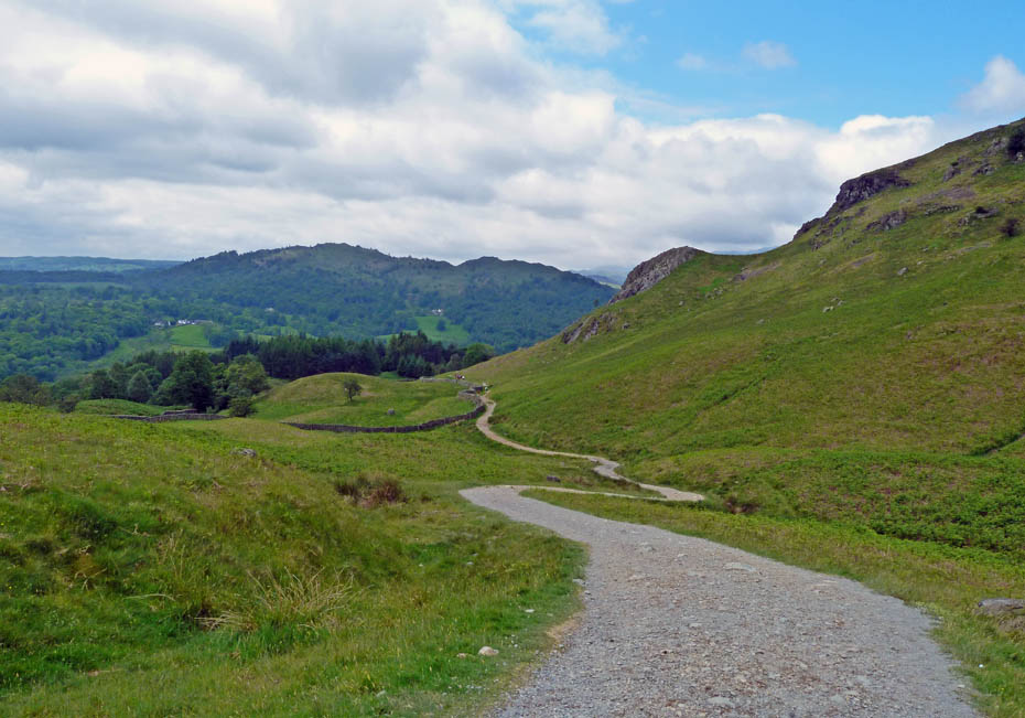
Crossing the A593 at Clappersgate. The telegraph pole marks the start of our path....
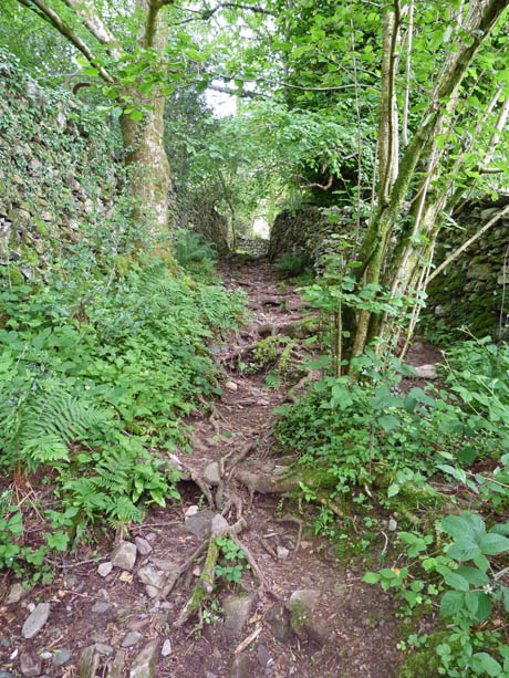
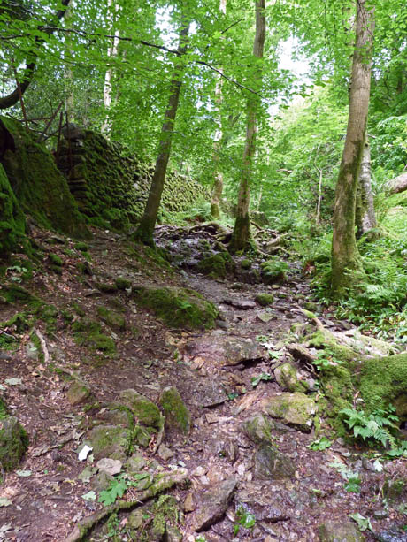
.....which rises up the fellside in a rather poor state due to "washing out"
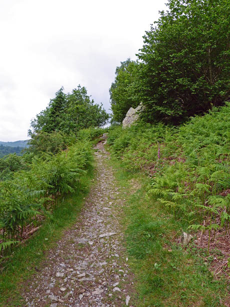
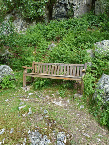
After passing through a gate however it changes into a narrow track passing by the memorial seat to Sid Cross one of Lakelands legends.
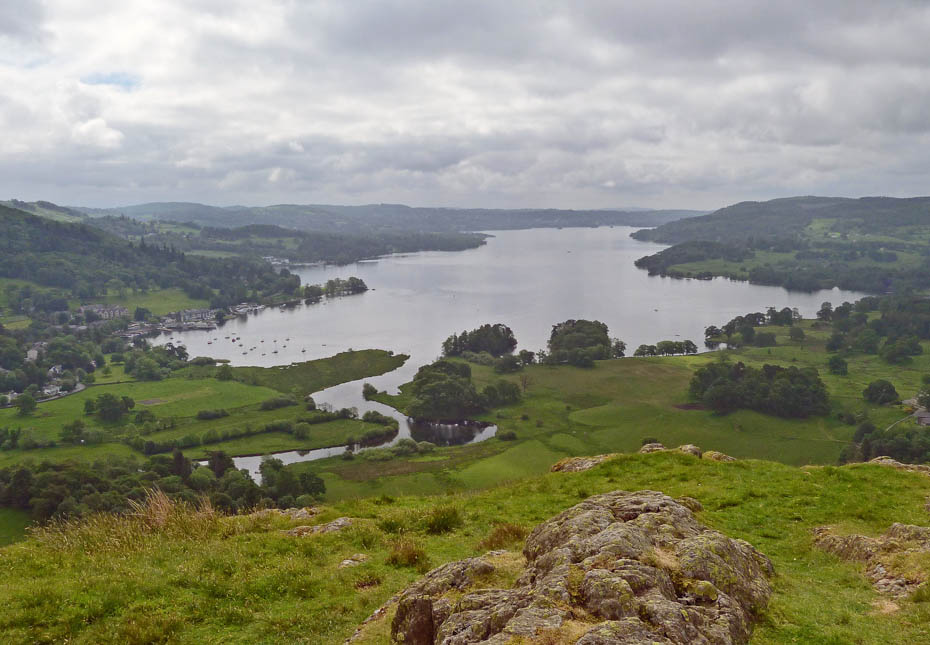
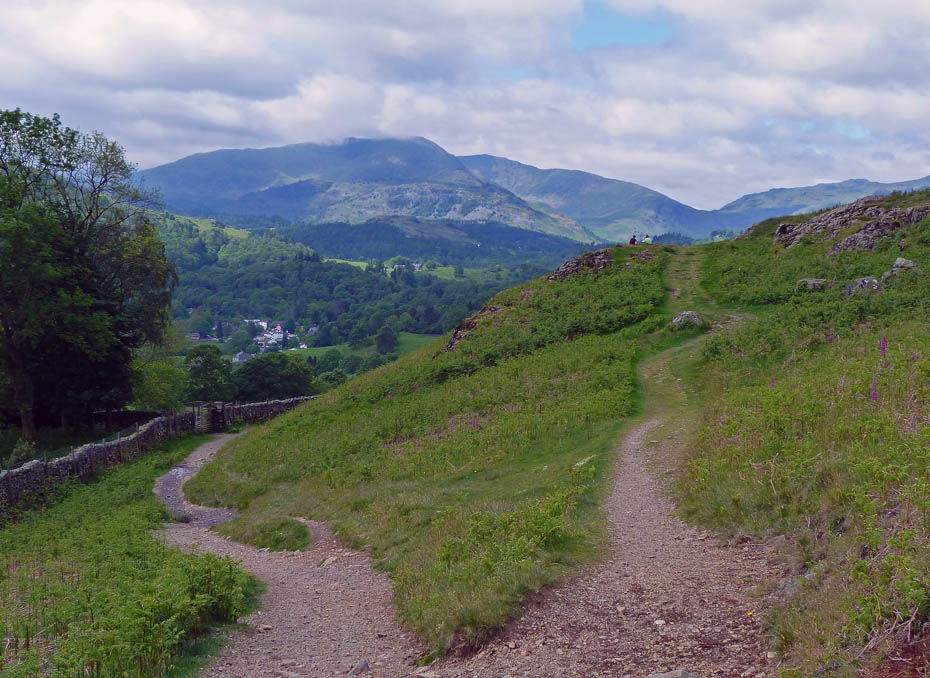
First views of Windermere.
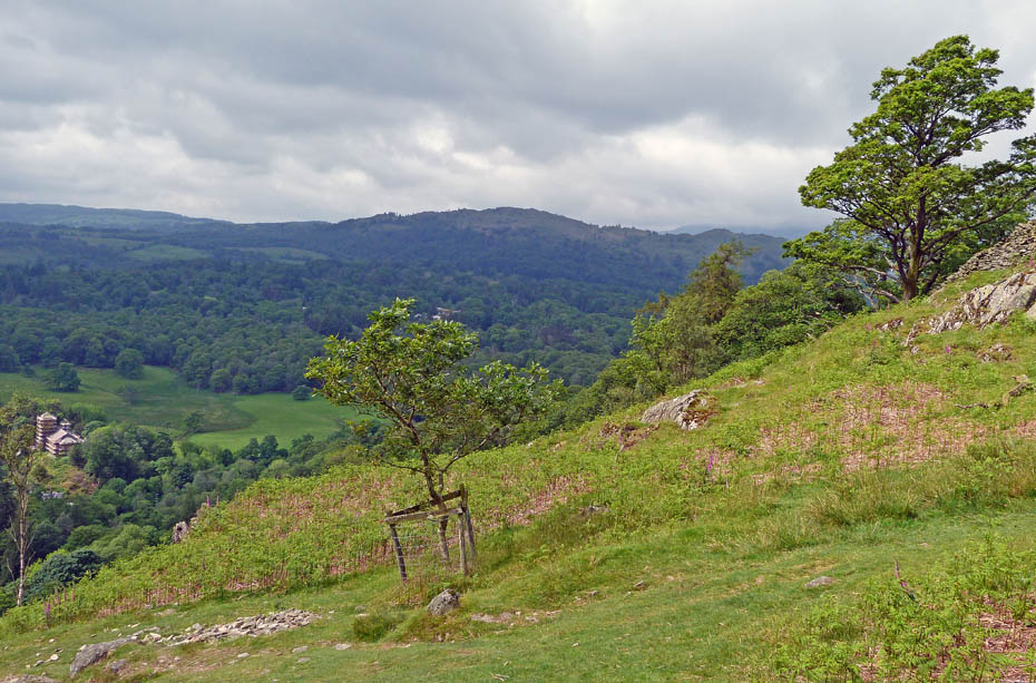
The steepest part of the climb up is over now....
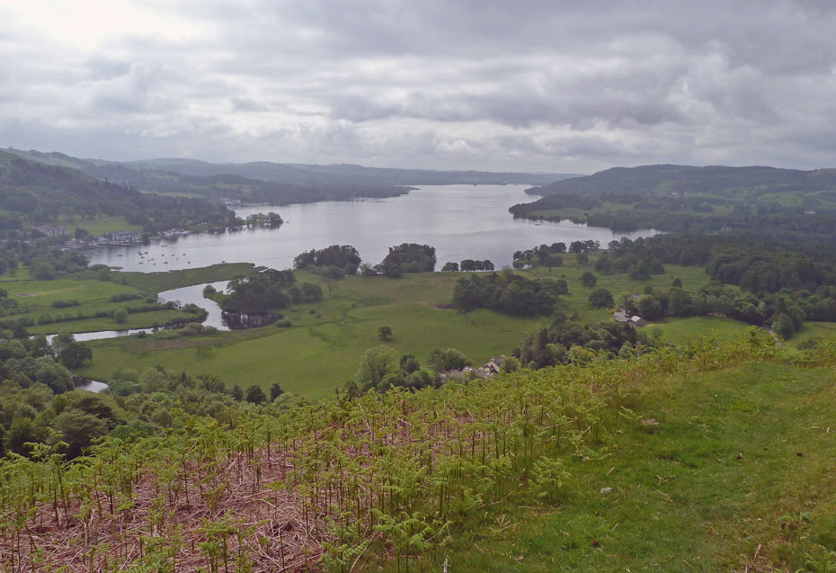
.....and the views down Windermere have opened up even if a little dull.
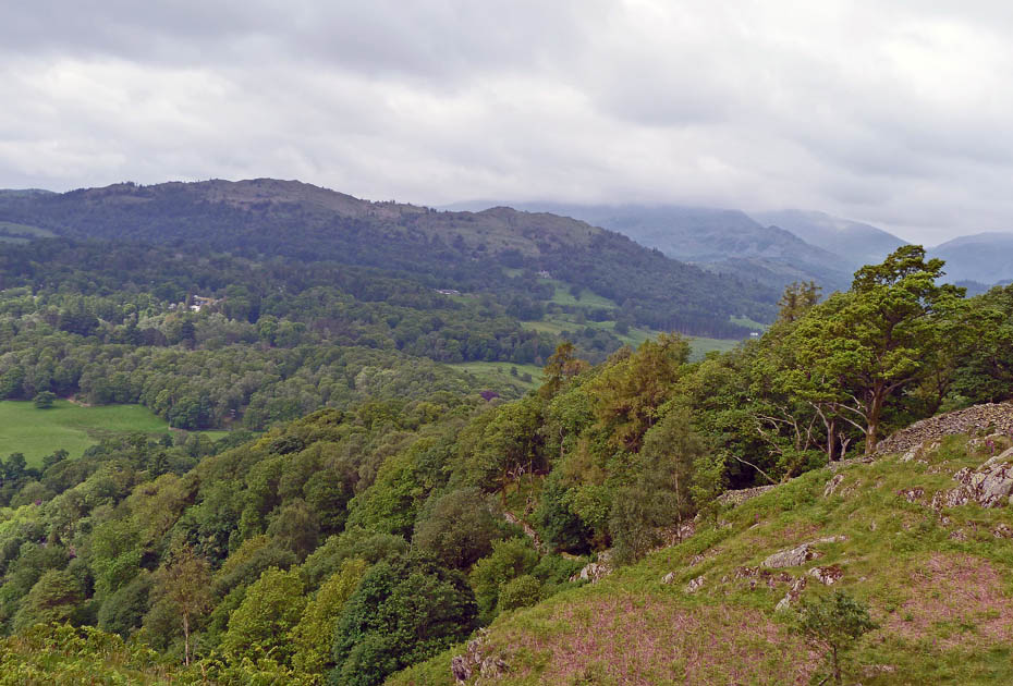
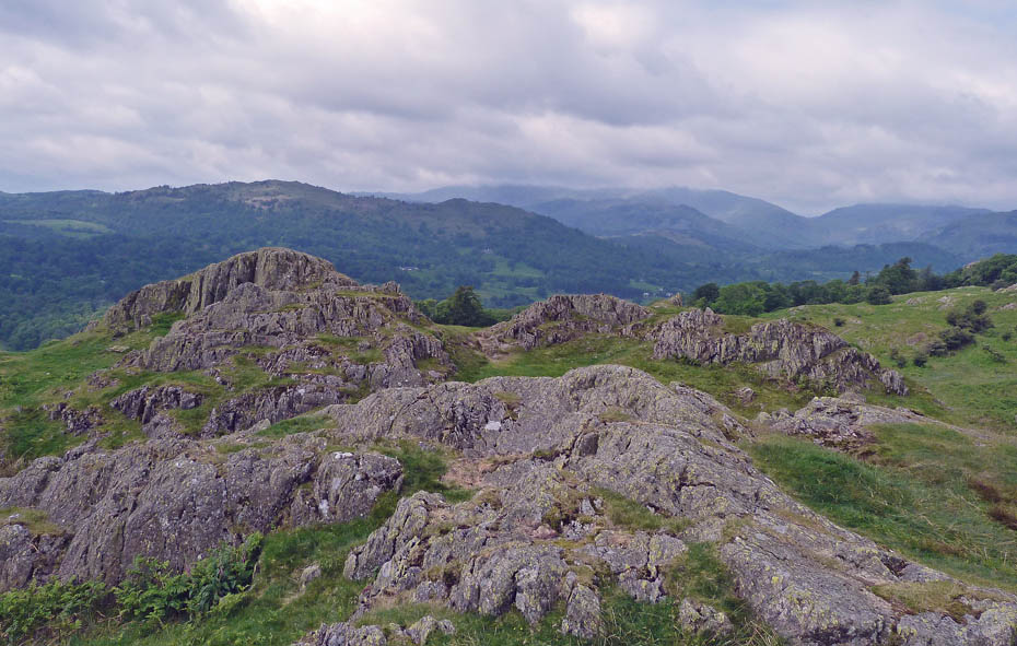
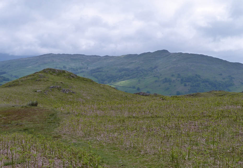
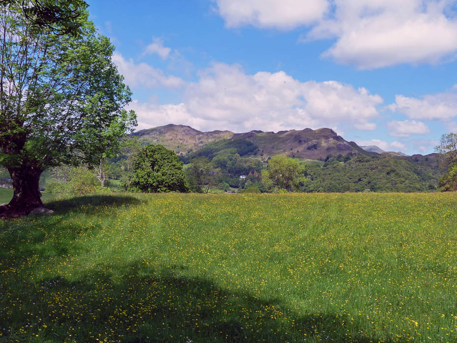
Looking over to Black Fell and Holme Fell with cloud topped Wetherlam behind.
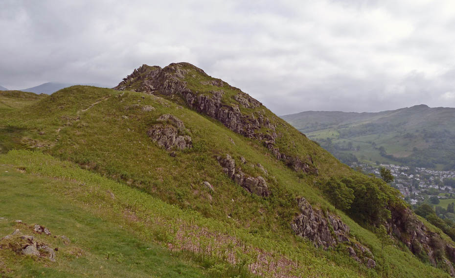
Just over there to go now....
.....and it does seem to be improving.
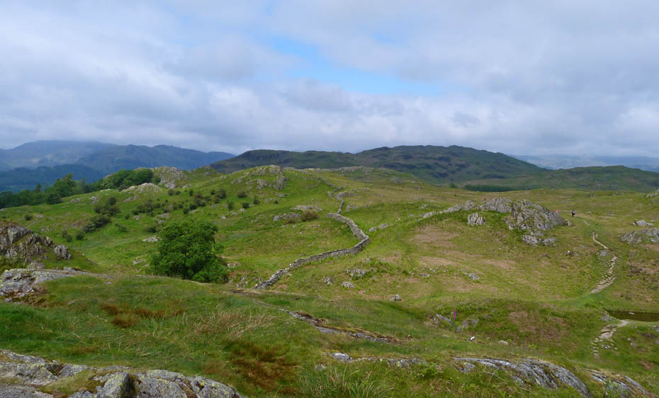
Looking towards Loughrigg and there are patches of blue.
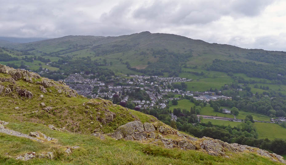
Looking over Ambleside to Wansfell.
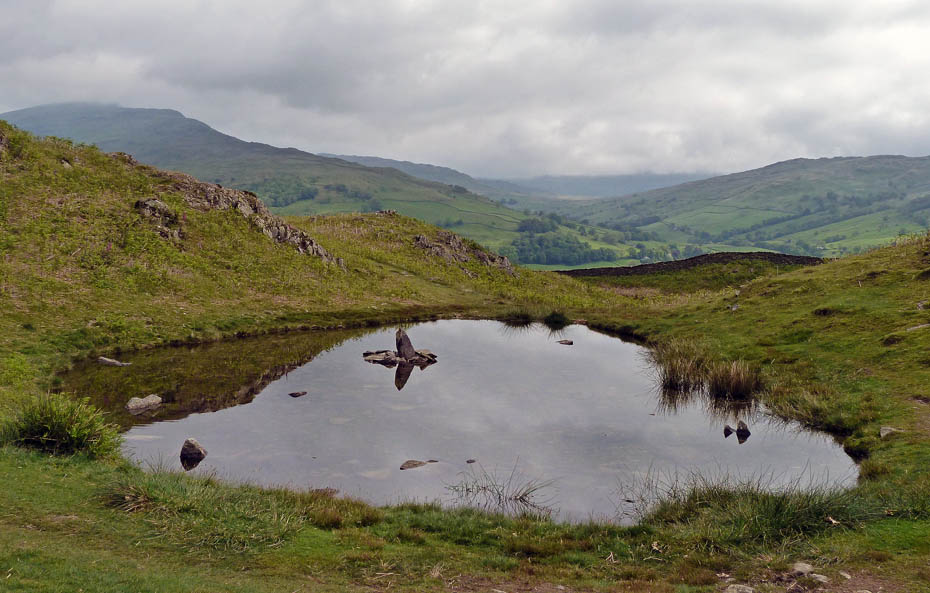
Leaving the top we headed off in the direction of Loughrigg passing this small tarn....
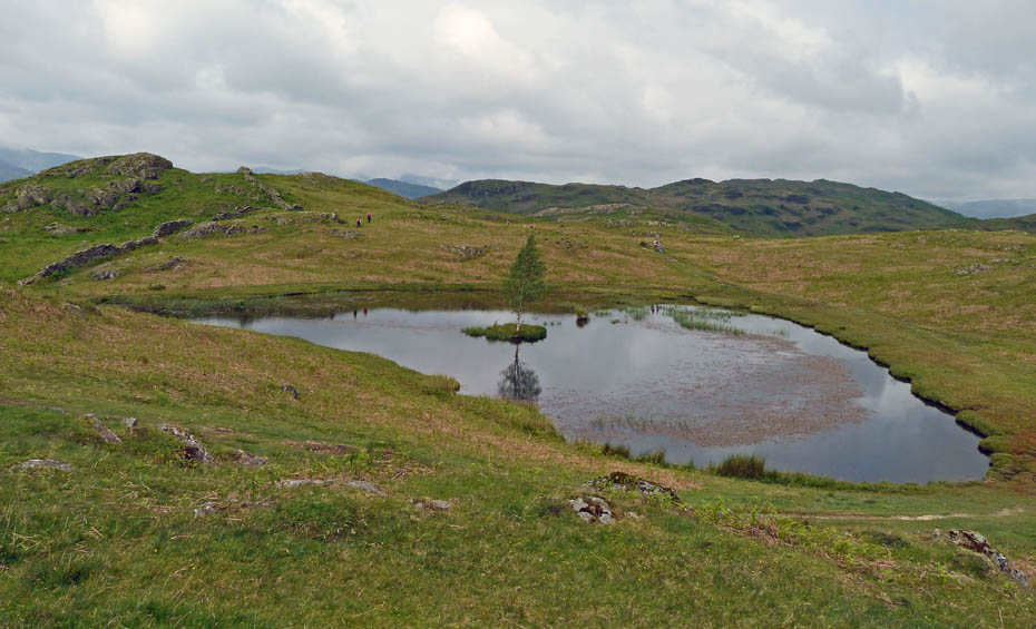
....on our way to Lily Tarn.
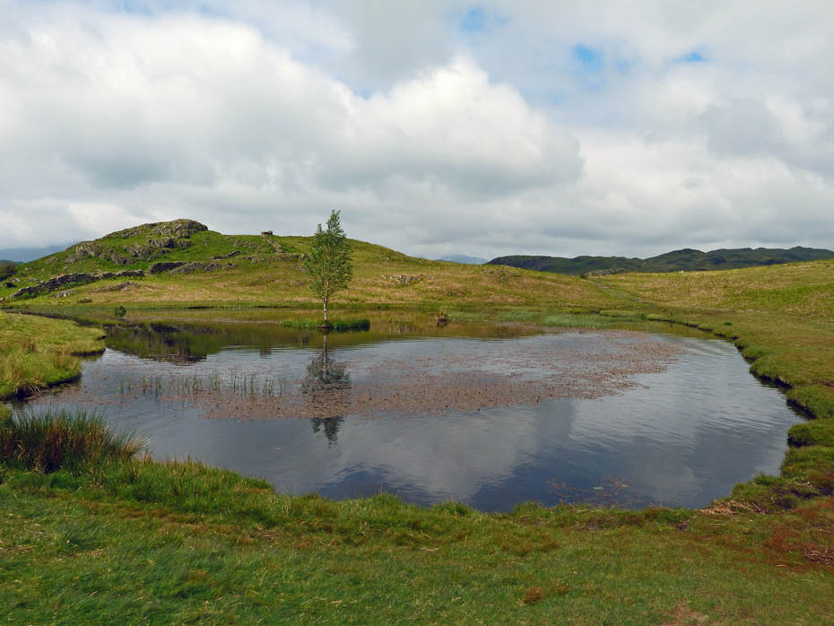
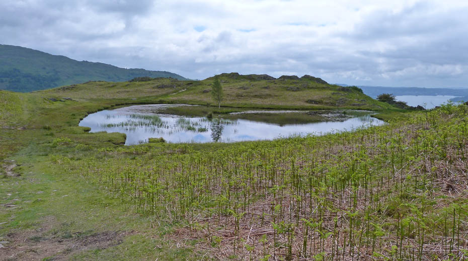
A wonderful picnic spot if you have kids with you.
A look back as we carry on......wish it would brighten a bit.
Looking over to Wansfell.
Some brightness appears
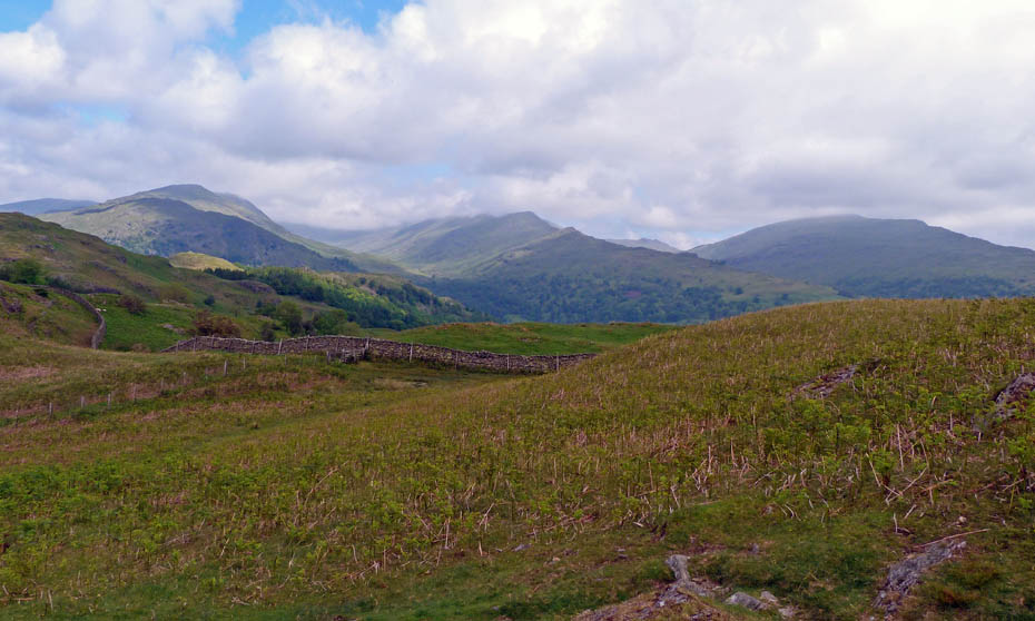
The still cloud topped fells of the Fairfield Horseshoe.
Descending to meet the Ambleside - Tarn Foot bridleway
Now on the "made" path and on the way to Loughrigg Tarn.
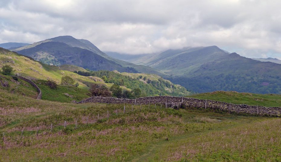
The clouds are just brushing the top of Wetherlam now....
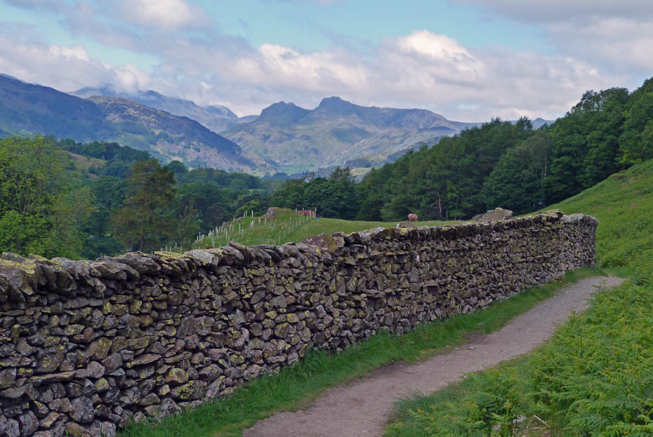
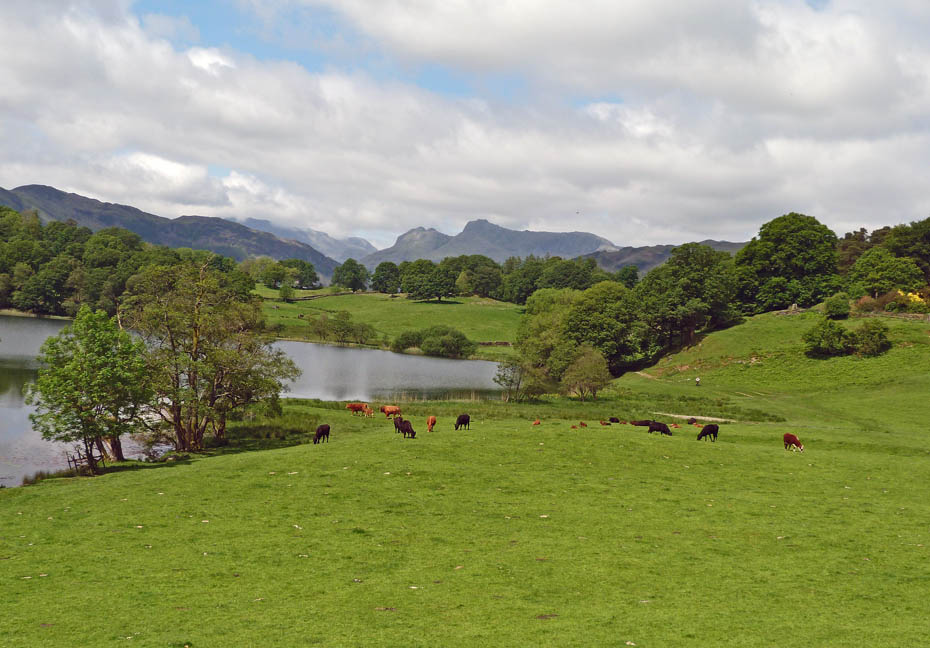
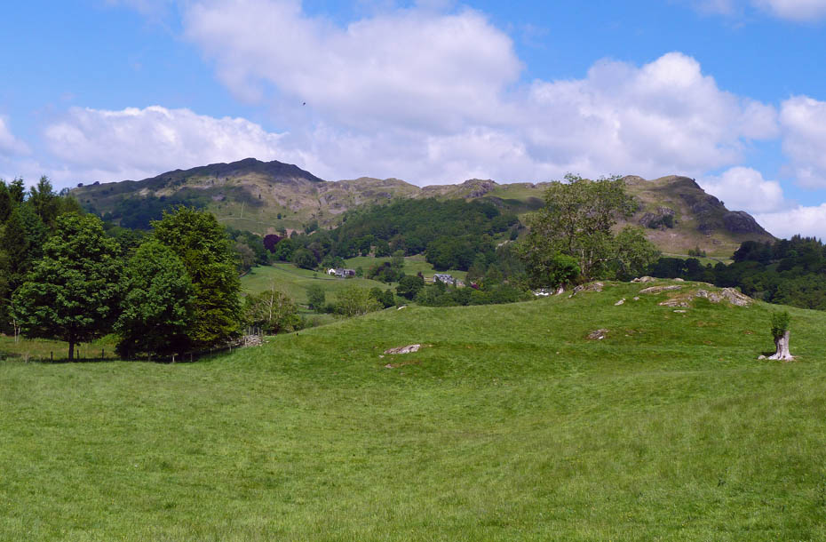
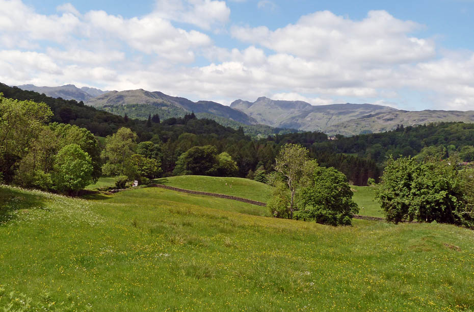
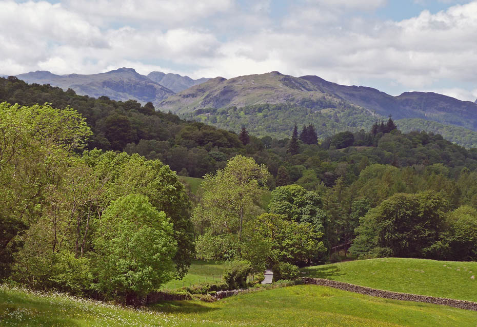
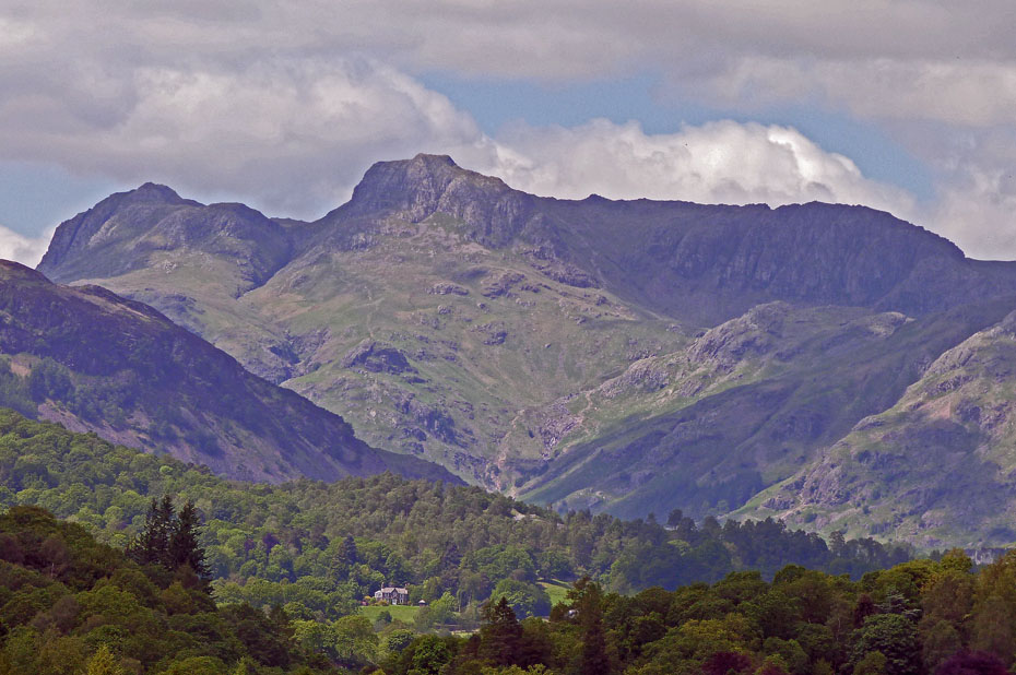
.....and the Langdales are clear.
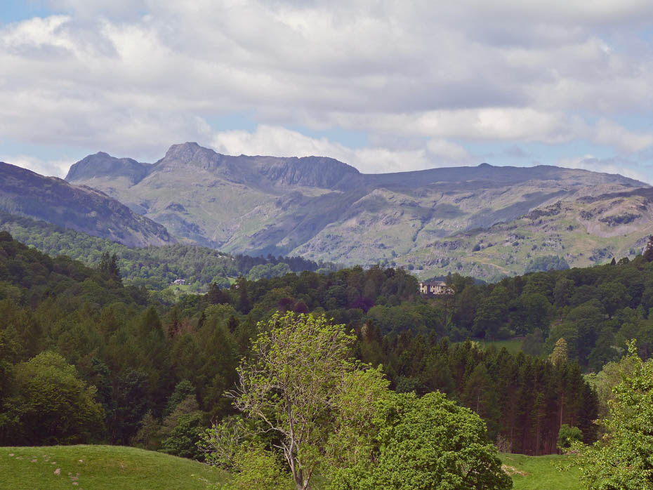
Close up Langdales.
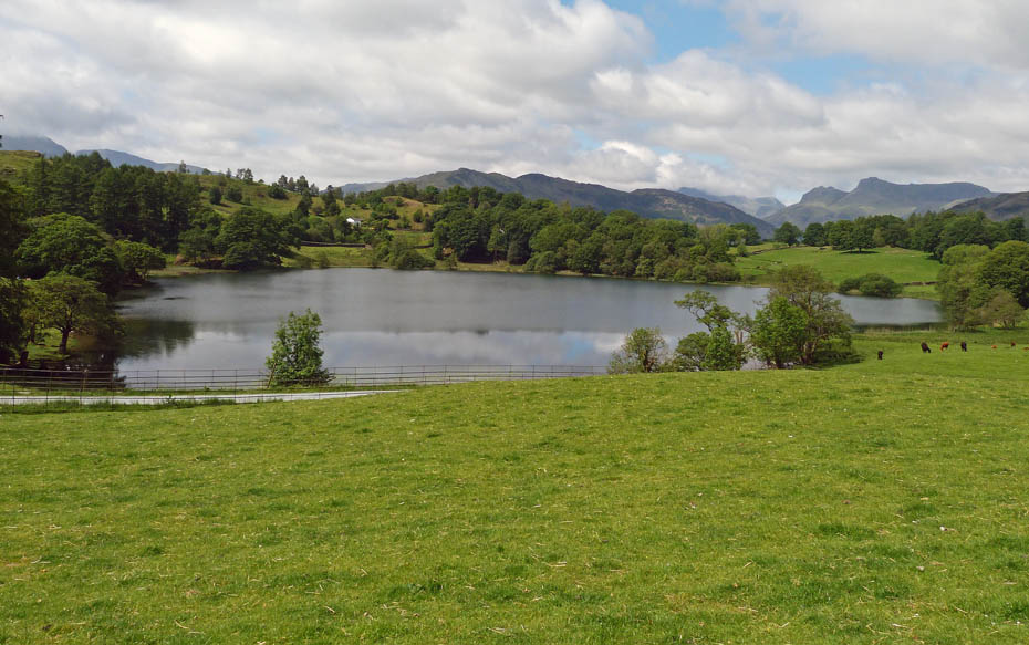
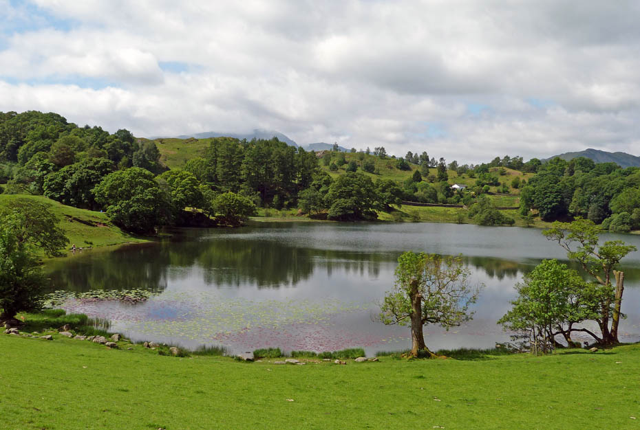
Loughrigg Tarn
We walked round the tarn and then took the path....

.....past Loughrigg Fold and through the Neaum Crag site....
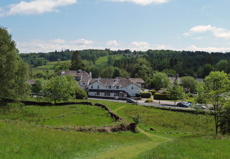
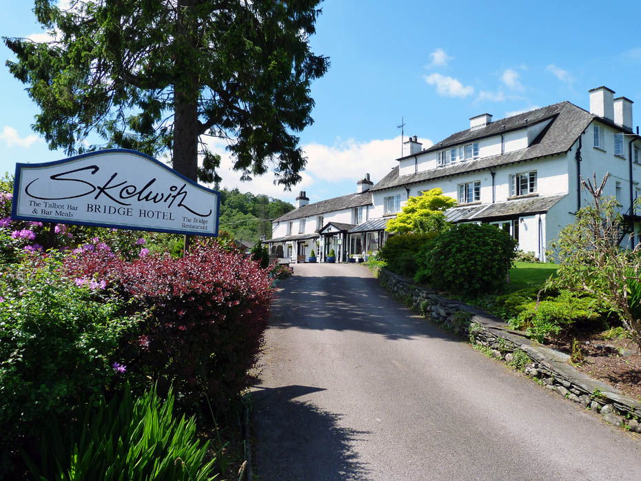
....to descend to Skelwith Bridge where we stopped for a drink at The Talbot Bar .....
From Skelwith Bridge we made our way up to Skelwith Fold
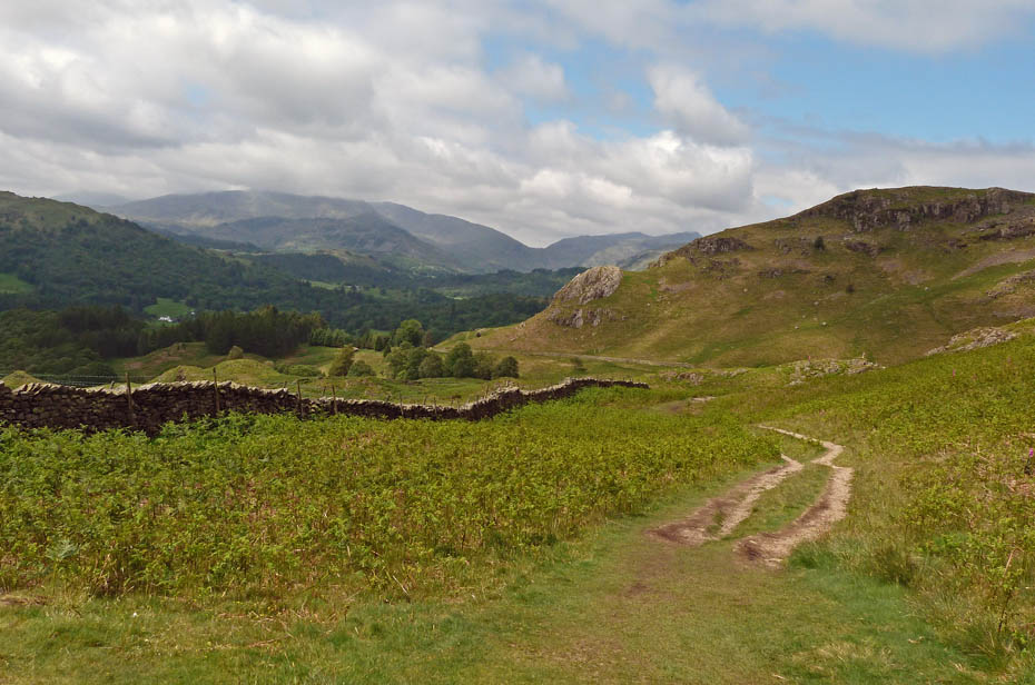
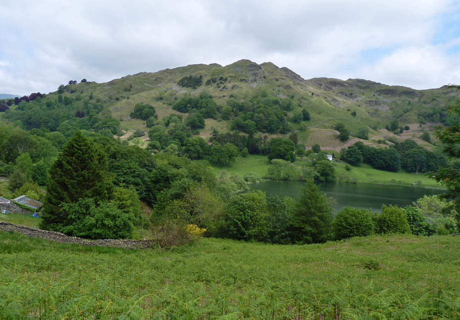
Looking over to Loughrigg.
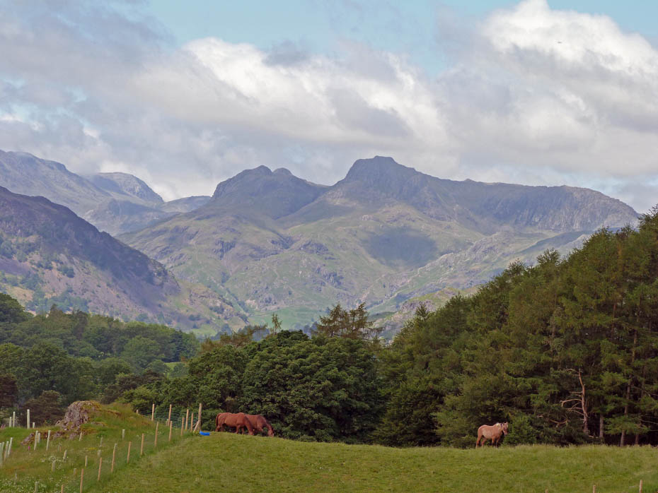
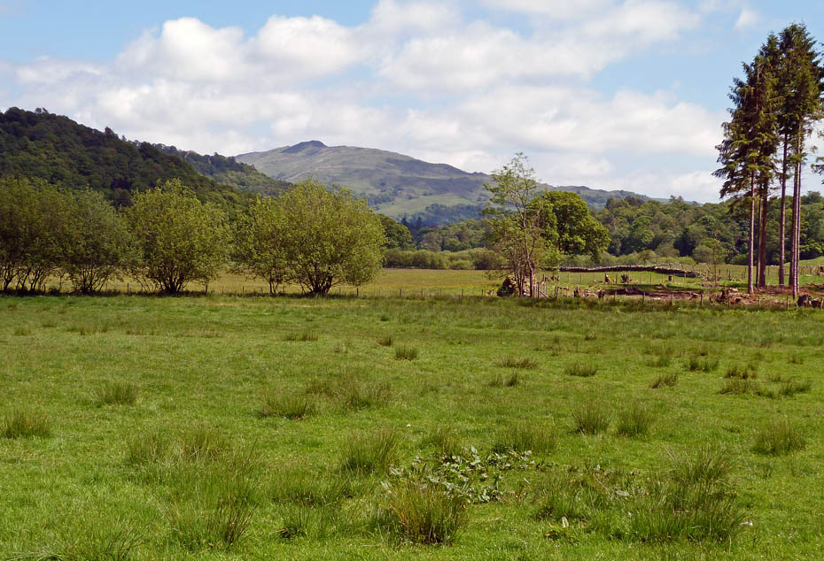
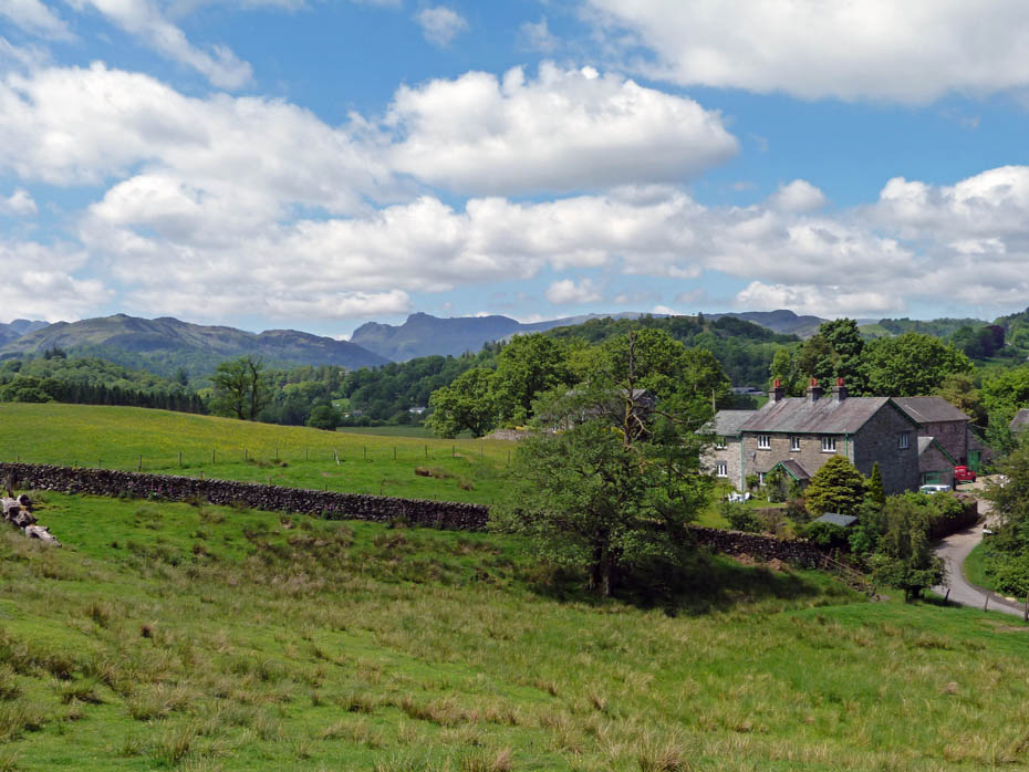
The views into Langdale from Skelwith Fold.
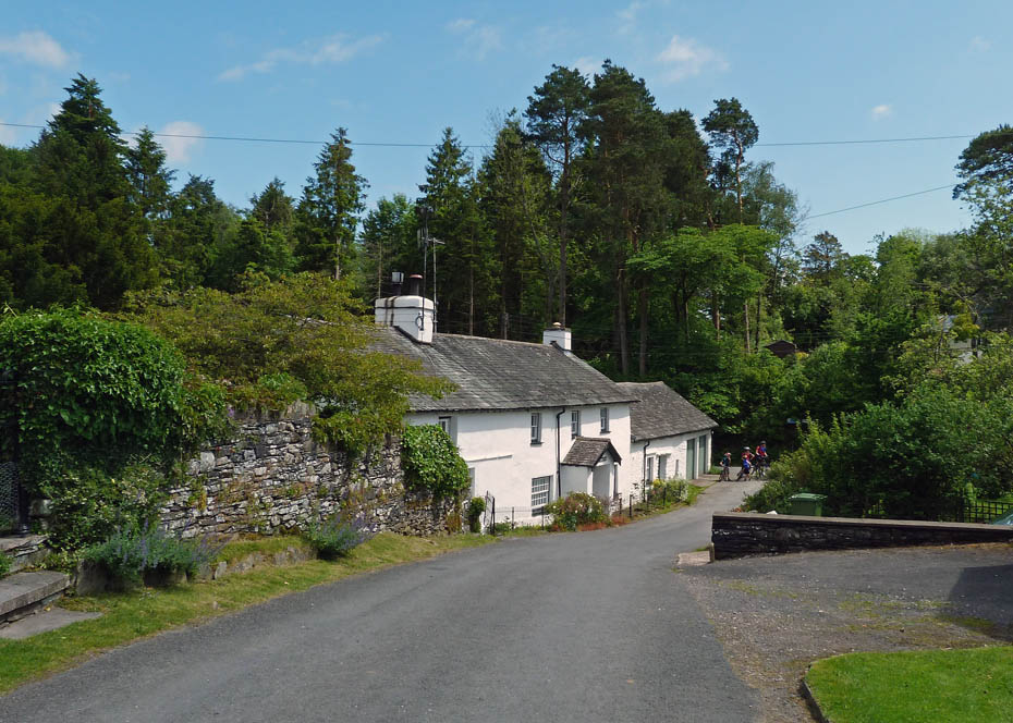
Skelwith Fold
Skelwith Fold farm.
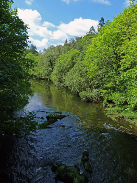
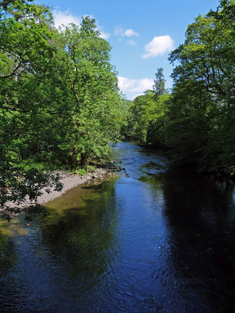
The River Brathay from the footbridge near the church.
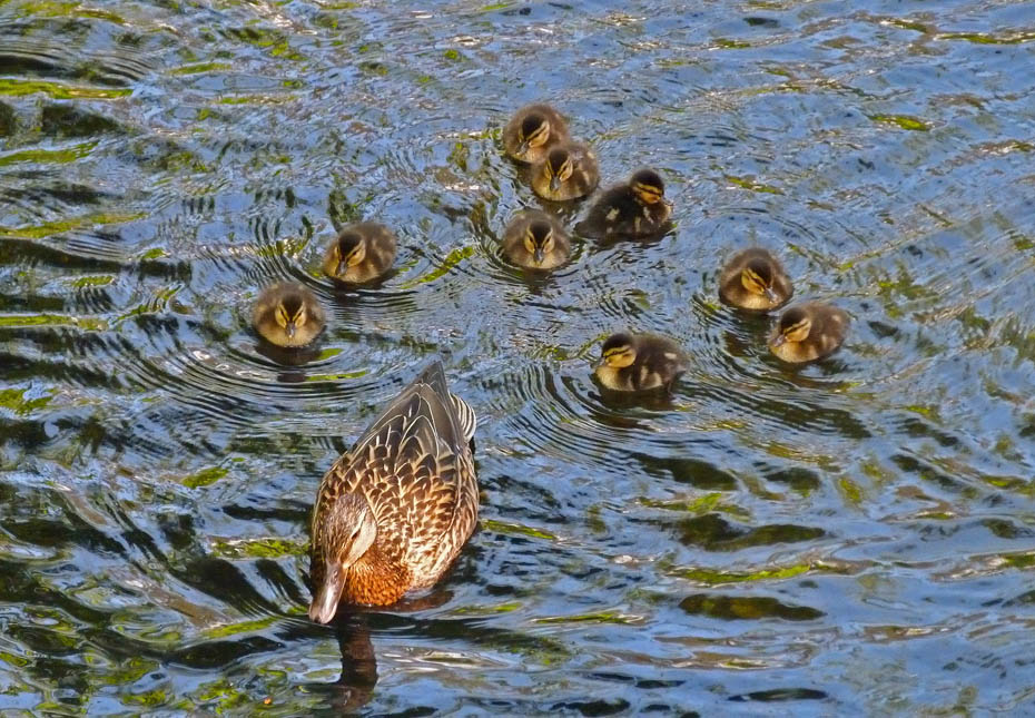
And finally.....a family outing.
Next Walk: 3rd June 2011 - Arnside & Silverdale AONB - Arnside Knott via the cliff path and Far Arnside.
Last Walk: 31st May 2011 - Lake District - A Rydal Circular from Pelter Bridge
Do you have a Facebook or Twitter account? We post regular updates on both plus some additional pictures. Just click on either of the links below and add us.
![]()

We hope you have enjoyed viewing this walk. If you have any comments please sign our Guestbook or E_Mail us.
