
| Area: | Lake District | Ascent: | 1000feet |
| Walk No: | 554 | Time: | 4hours 15mins |
| Date: | 14th June 2011 | Parking: | Roadside at Staveley. |
| Distance: | 6.75miles | Weather: | Fine with long sunny spells |
For those of you that are thinking of going onto the hills I would strongly recommend that you read the advice given by the Mountain Rescue organisation of England and Wales. To read this advice, which will open in a new page please click HERE. If you would like to make a donation to the Mountain Rescue organisation which is purely voluntary please click HERE. Please make the time to read the advice page.
---------------------------------------------------------------
I was by myself today as Edith was visiting her brother and had decided on this walk the previous evening. I had hoped to have carried on from Potter Tarn to the delightful Gurnal Dubs but my dodgy right knee was giving me some gyp by the time I arrived at Potter Tarn and so decided not to. However I did visit the Craggy Plantation on my way there which I haven't walked through for many years and found it as lovely as ever.
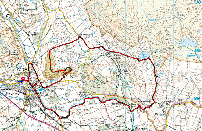
Route Map.
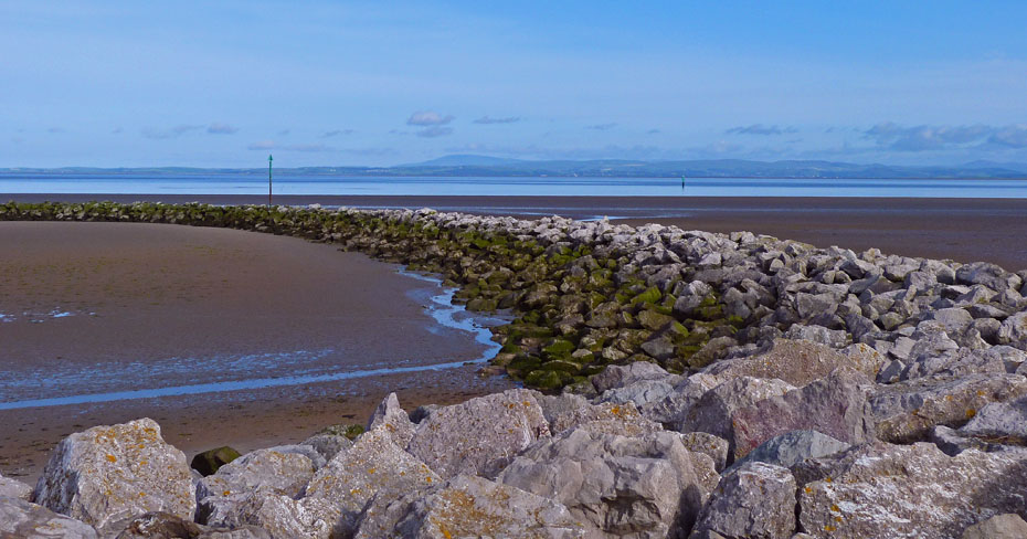
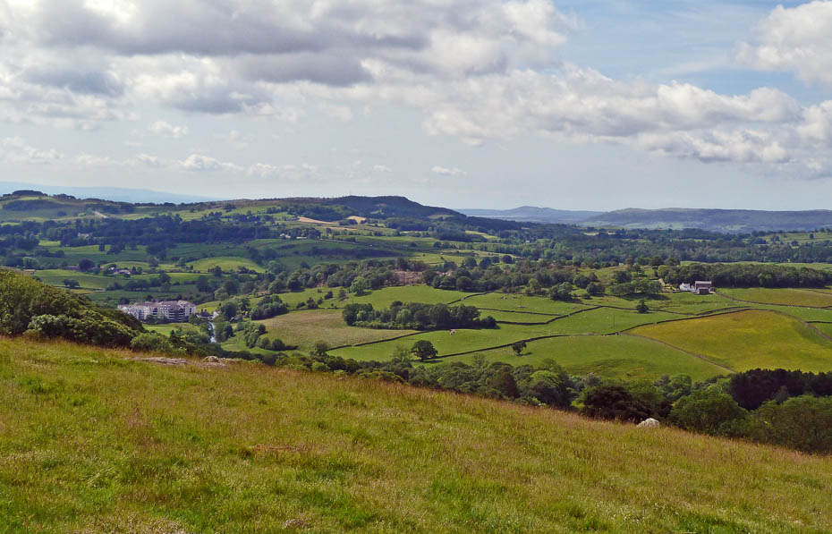
A look across Morecambe Bay towards Black Combe.....soooo not a bad day then!
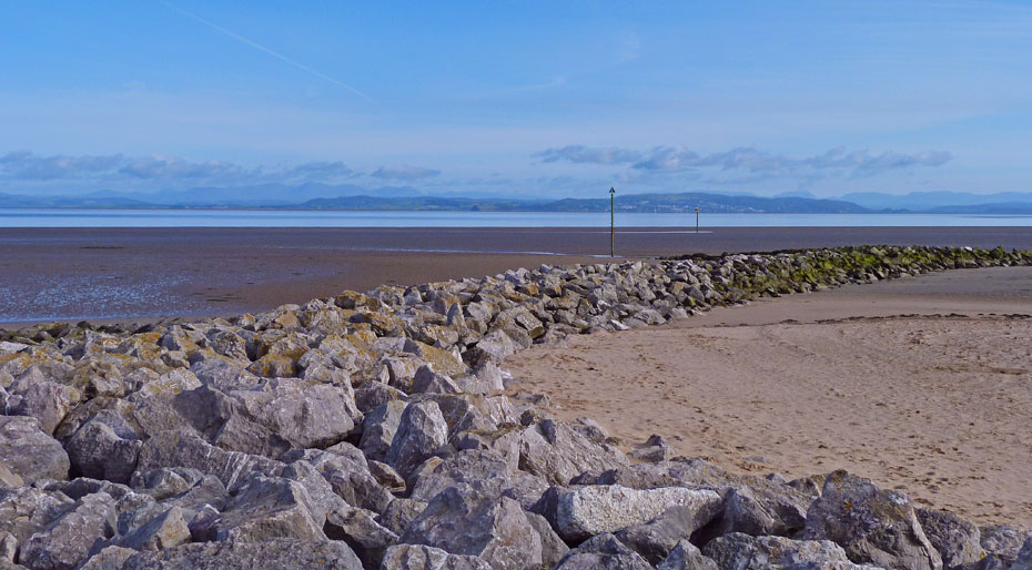
From Coniston Fells to Far Eastern Fells......now where to go.
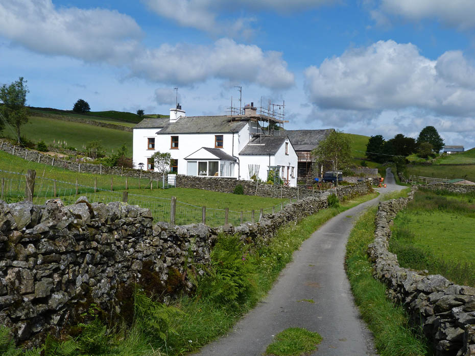
A short drive soon had me parked up at the roadside at Staveley, but where to go?....I daren't go near the bungalow below Hugill Fell and Jess as Edith would never forgive me....
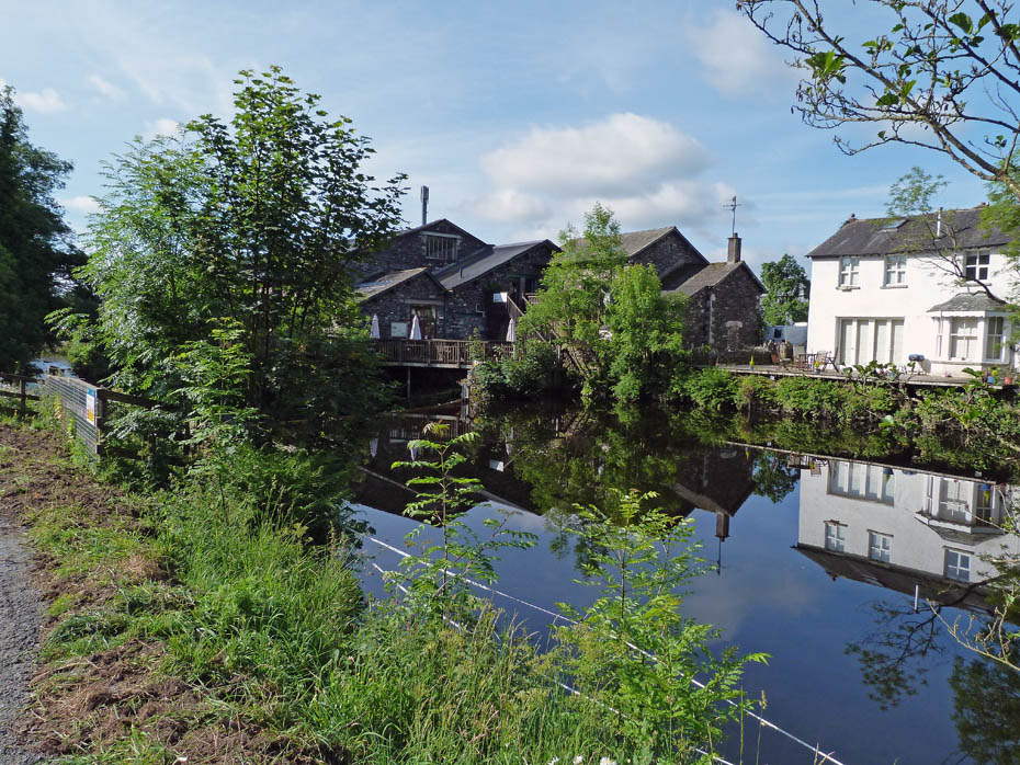
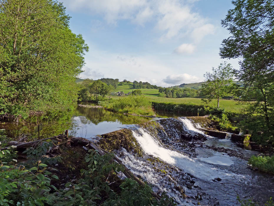
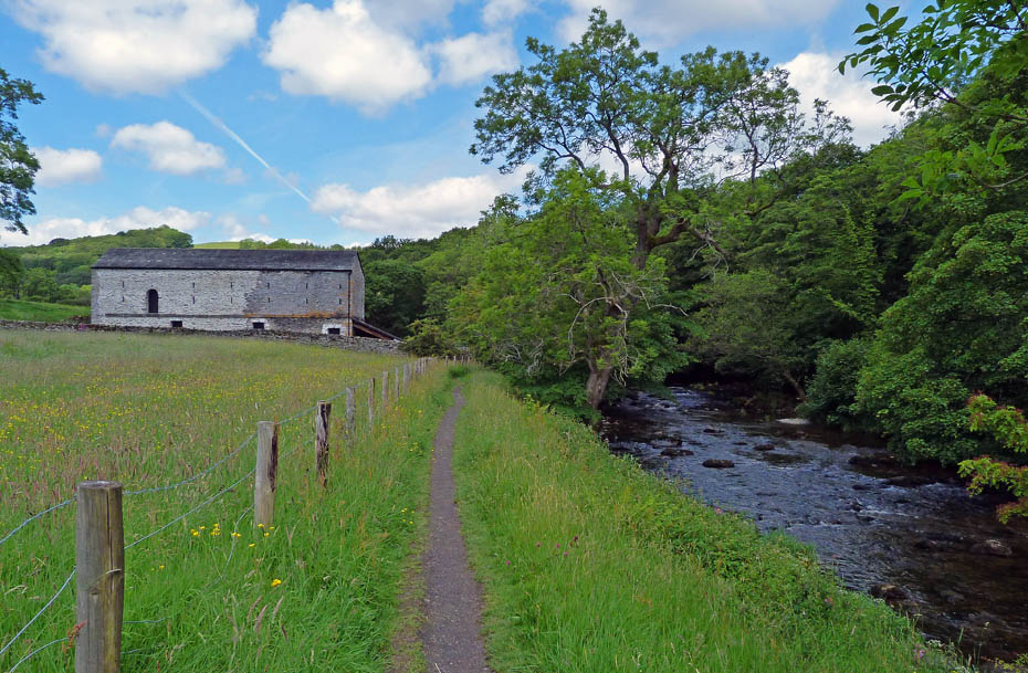
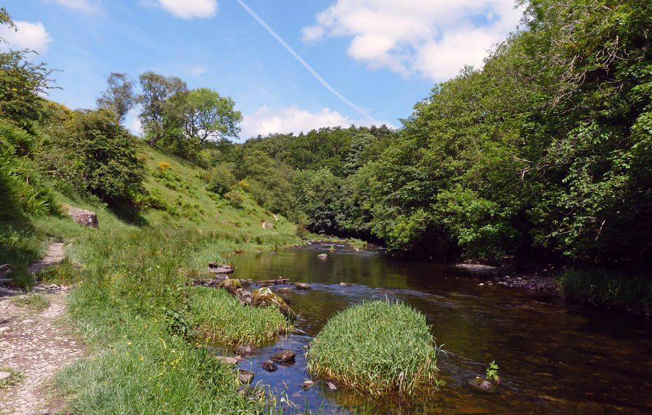
.....so I followed the peaceful River Kent downstream using the recently renovated path, part of the LDNP's Miles without Stiles scheme.
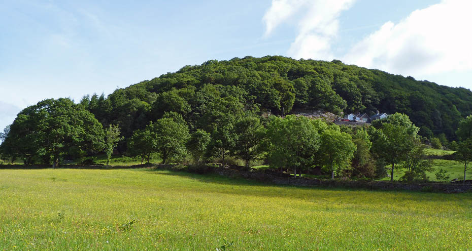
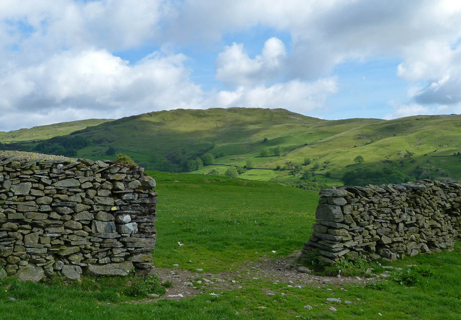
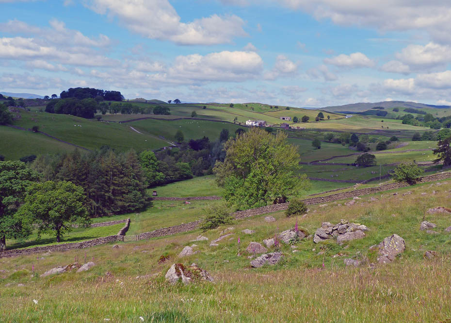
Looking over to the Craggy Plantation an area I haven't visited for many years.....time to put it right.

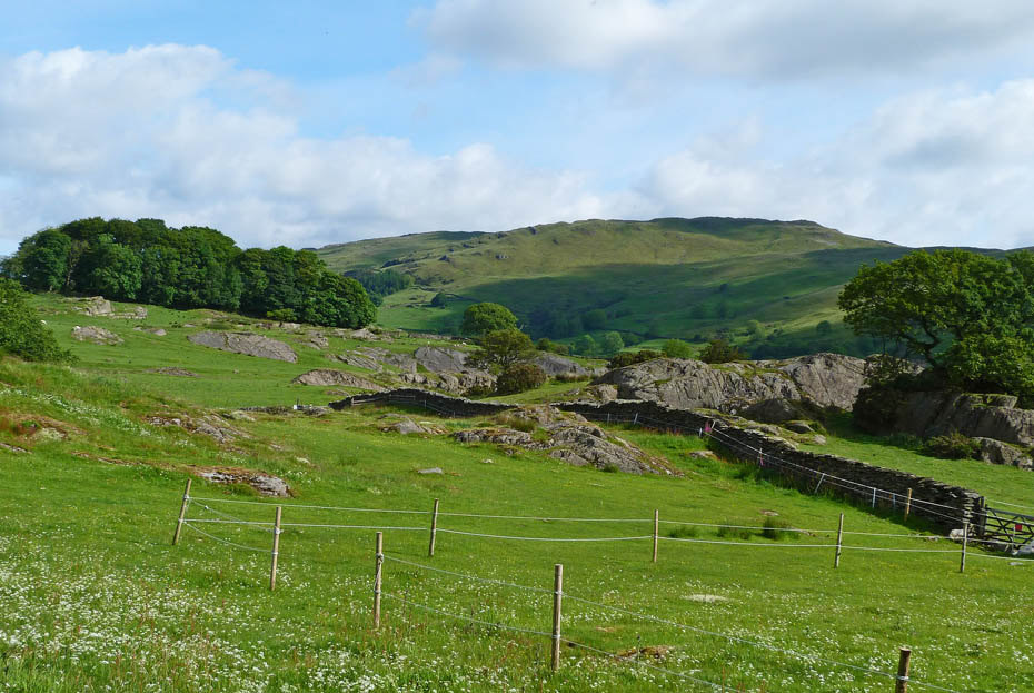
I left the riverside path to take a path through Staveley Park up to the Garnett Bridge road.
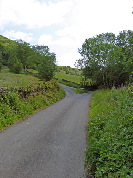
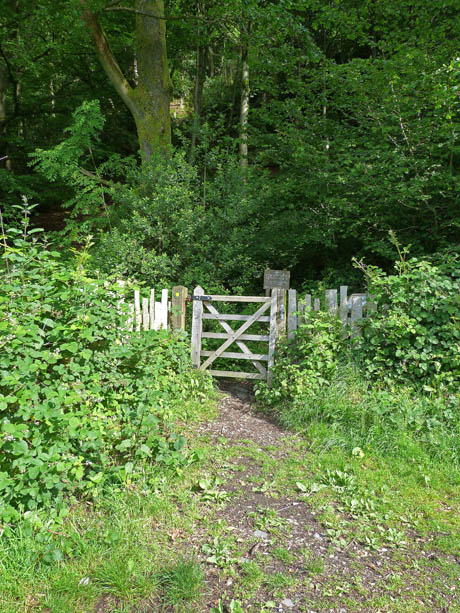
Arriving at the quiet lane a right turn for a short distance and then left a a junction (l) from where a short uphill walk led me into the plantation.
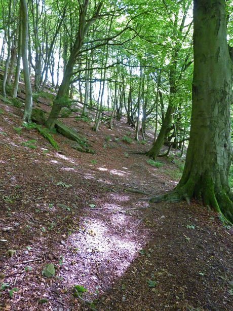
The path climbs steadily through the woods to eventually reach a wall with views....
....over towards Brunt Knott....
...and also to the head of Kentmere.
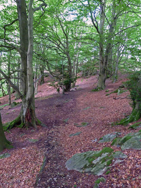
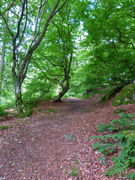
From the viewpoint the path descends a little but remains mostly level through some magnificent woodland.
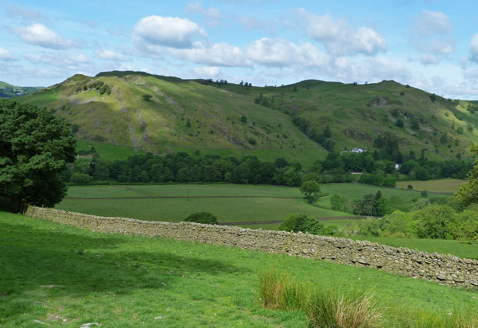
The path eventually leads out via a stile onto the open fellside with views westward to Reston Scar and Hugill Fell.
Looking N'wards over Millrigg Knott and Staveley Head Fell towards the high fells of Kentmere.
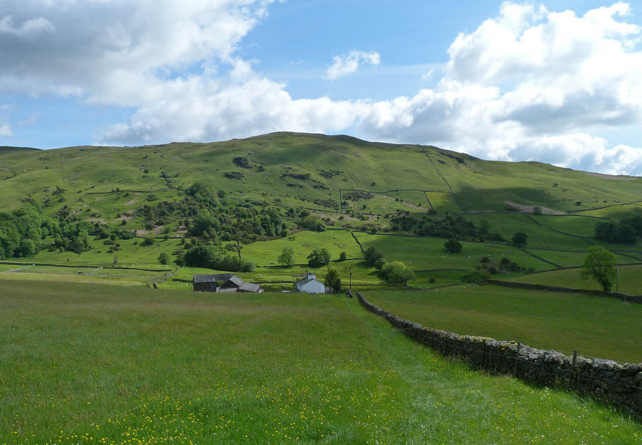
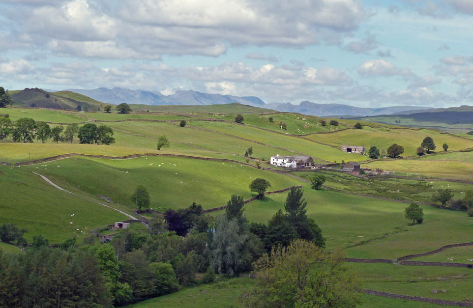
Brunt Knott as I make my way towards Littlewood Farm.
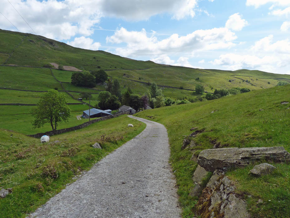
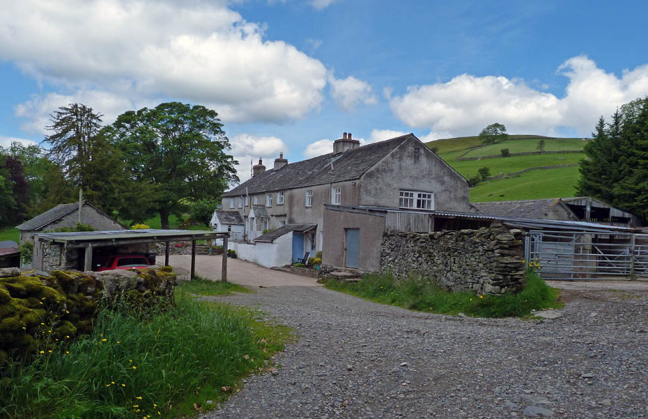
Descending to Littlewood farm.
Looking back to Littlewood Farm as I make my way along the farm track towards Birk Field.
Dropping down to Birk Field.

Birk Field
A look back along my route as I start the short climb to Potter Tarn
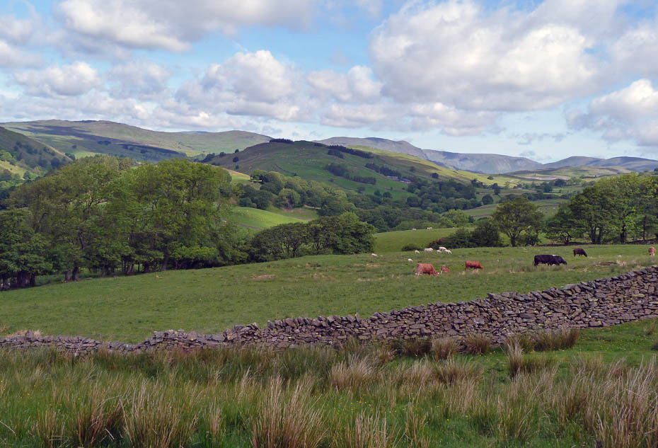
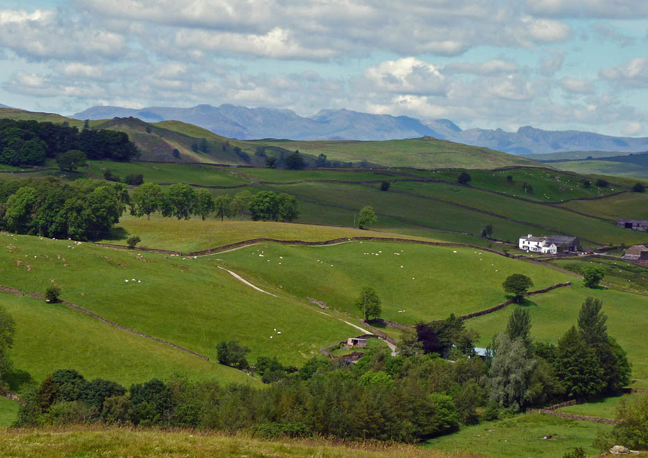
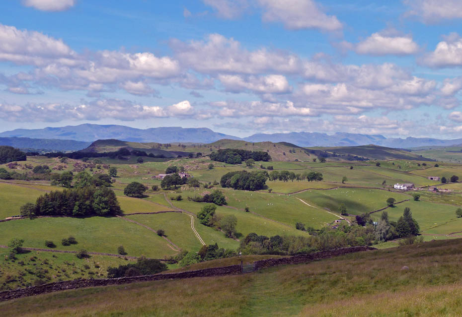
A little higher and the fells of Langdale appear over Littlewood Farm.
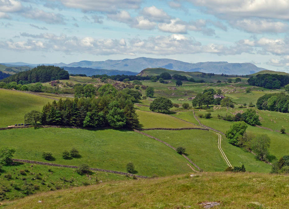
The Coniston Fells over Reston Scar.
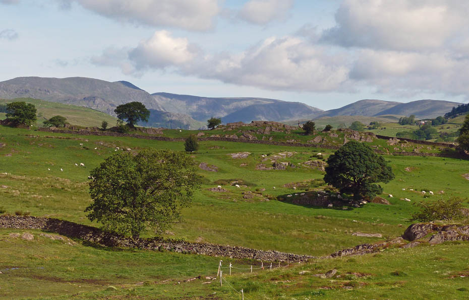
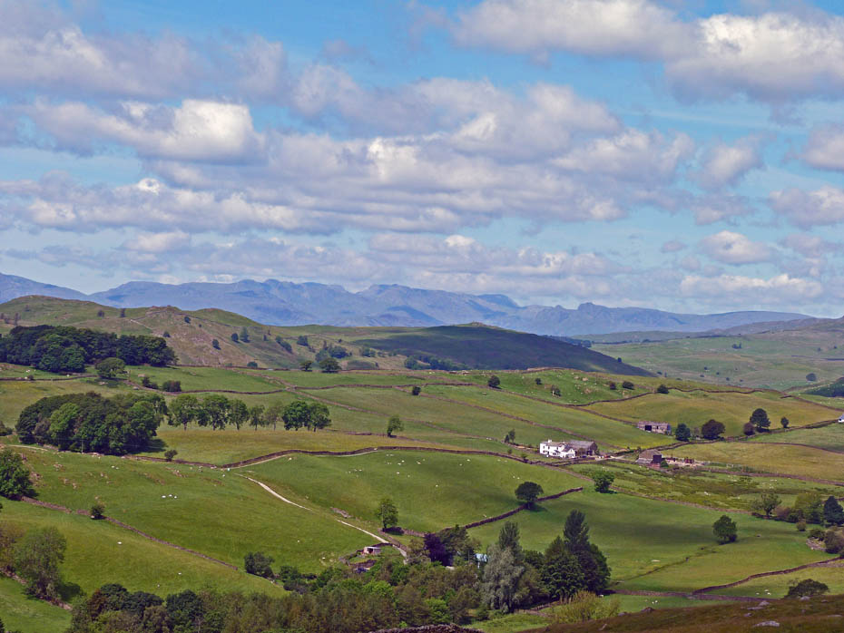
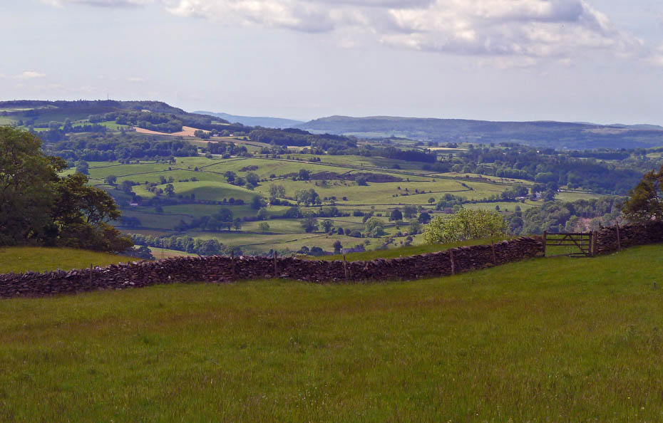
There are plenty of excuses to stop and just gaze at what is spread before you.
Looking over Cowan Bridge to the Kendal Scars and Whitbarrow.
The larger picture.....the Coniston and Langdale Fells peek over Reston Scar and Hugill Fell.
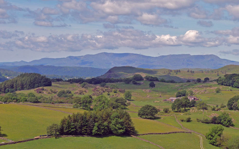
And in close-up
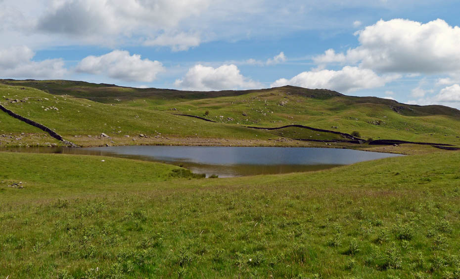
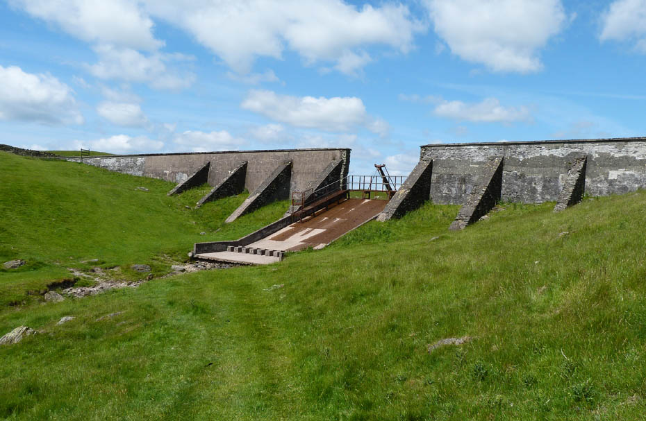
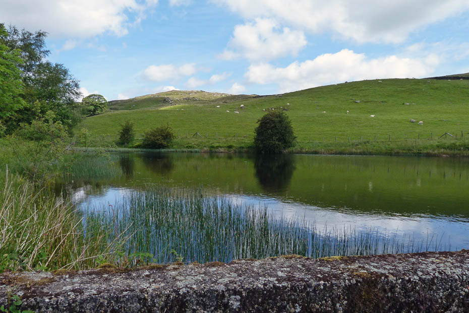
Potter Tarn....Potter Tarn is a reservoir built to supply water to James Cropper's paper mill in Burneside. It is not as large as when built since the dam became unsafe and the water level was lowered in 1990 by reducing the height of the middle of the dam and constructing a new spillway.
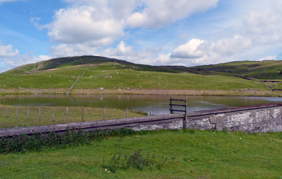
Looking over Potter Tarn towards Brunt Knott.
I had hoped to continue to Gurnal Dubbs fro Potter Tarn but my "dicky" right knee was giving me some gyp so I decided reluctantly to give it a miss and started my descent.
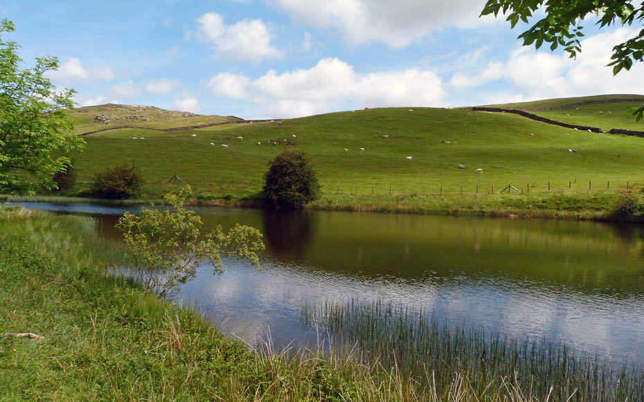
My route took me past Ghyll Pool which is also a reservoir constructed in 1934.
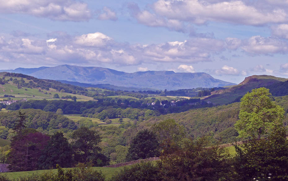
Looking S'wards to the Kendal Scars, Arnside Knott and Whitbarrow.
Looking past Reston Scar to the Coniston Fells as I descend to Hundhowe.
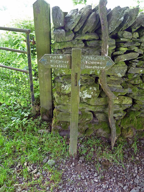
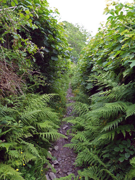
A right turn at the waymarker (l) and down through a short section of rather overgrown track (r)
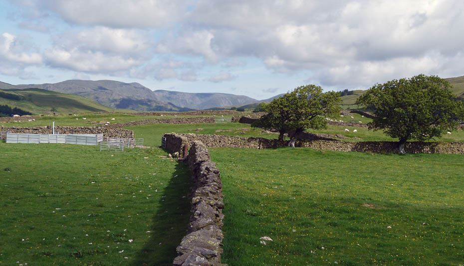
Hundhowe.
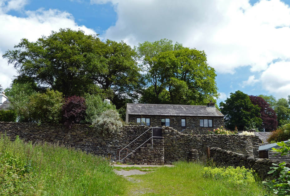
From Hundhowe it was only a short walk down to the road where a right turn soon took me to to the Hagg Foot and the path down to the Dales Way.
Looking over to Cowan Head.
I am now on the Dales Way and it is very warm.
My favourite section along this length.
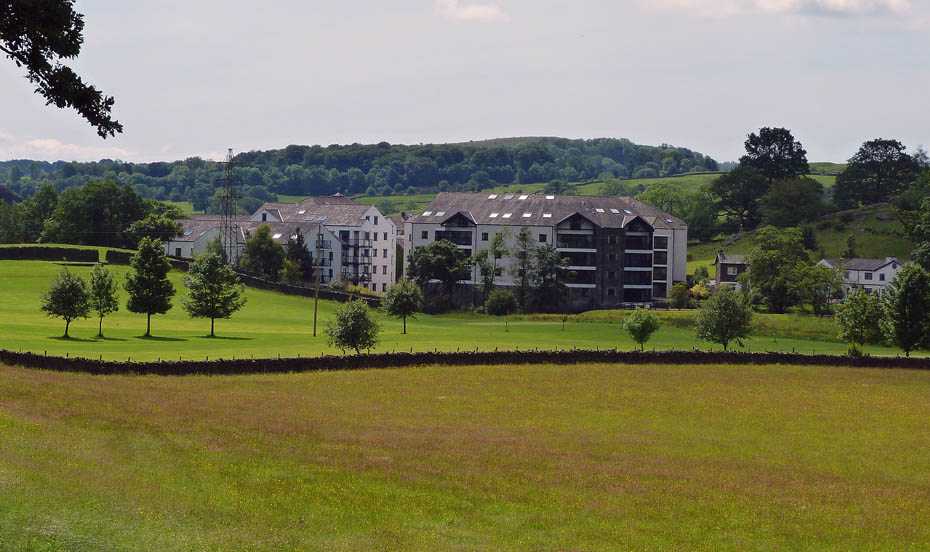
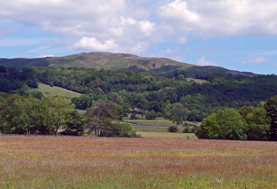
Approaching Staveley and the fields near Sandyhill were a mass of colour.
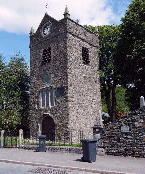
St Margaret's Tower.....In 1338 the lord of the manor of Staveley, Sir William Thweng, agreed to build a chapel in honour of St Margaret. St Margaret's Church, of which only the tower now remains, was founded in 1388.
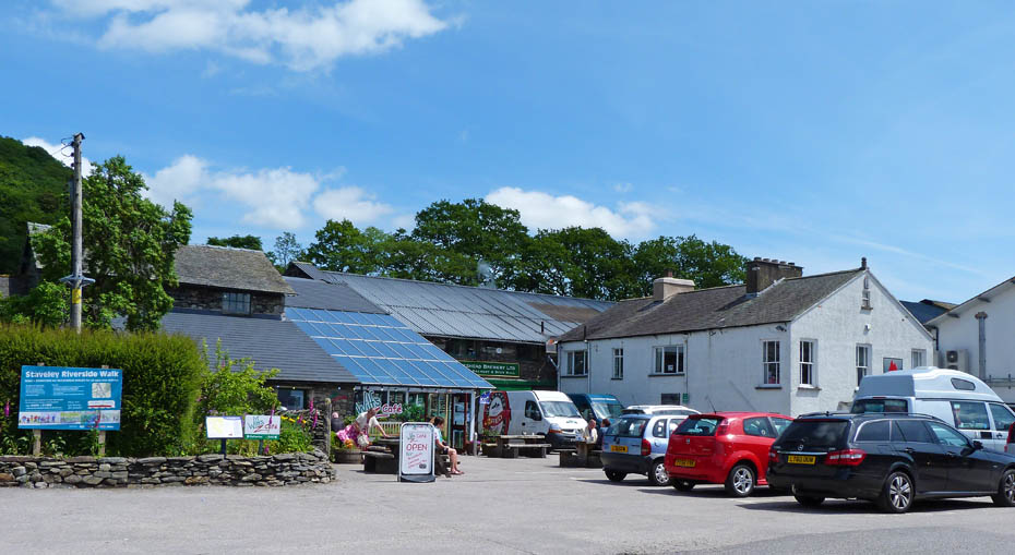
Couldn't resist a visit to Wilf's.
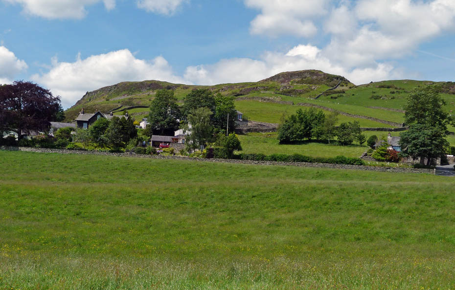
And finally....back to the car with a view of Reston Scar.
Next Walk: 16th June 2011 - Lake District - An Elterwater walkabout.
Last Walk: 12th June 2011 - Lake District - Leighton Moss Circular
Do you have a Facebook or Twitter account? We post regular updates on both plus some additional pictures. Just click on either of the links below and add us.
![]()

We hope you have enjoyed viewing this walk. If you have any comments please sign our Guestbook or E_Mail us.
