
| Area: | Yorkshire Dales | Ascent: | 1010feet |
| Walk No: | 591 | Time: | 4hours |
| Date: | 21st August 2011 | Parking: | Ribblehead roadside |
| Distance: | 7.75miles | Weather: | Mostly dull |
For those of you that are thinking of going onto the hills I would strongly recommend that you read the advice given by the Mountain Rescue organisation of England and Wales. To read this advice, which will open in a new page please click HERE. If you would like to make a donation to the Mountain Rescue organisation which is purely voluntary please click HERE. Please make the time to read the advice page.
---------------------------------------------------------------
It must be over 20 years since we last visited the summit Trig Point on Blea Moor although we have walked over and into Dentdale a few times in the period. However today I just had a moment of madness and thought it was time we revisited it. It wasn't the brightness of days although we only had to don the waterproof jackets for a short spell but the path running up between the air shafts on Blea Moor was like a stream at times after recent rain. It did however give my recently purchased trail shoes a good try-out, they were absolutely soaked on the outside but the tootsies remained dry.
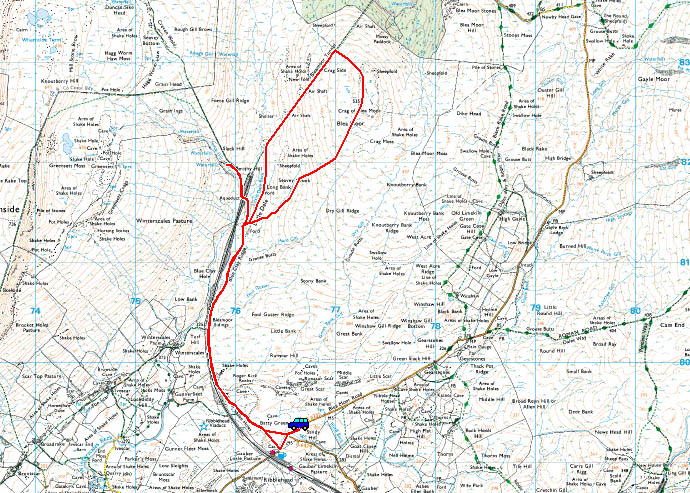
Route Map
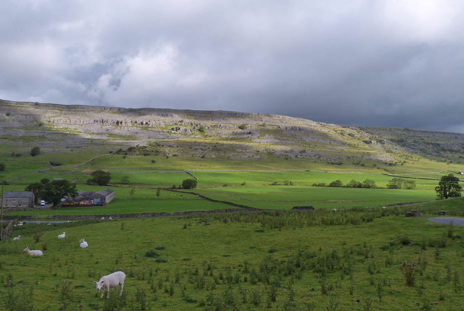
Twisleton Scars from the Ingleton - Hawes road as we drove to Ribblehead.
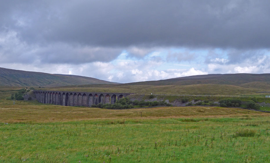
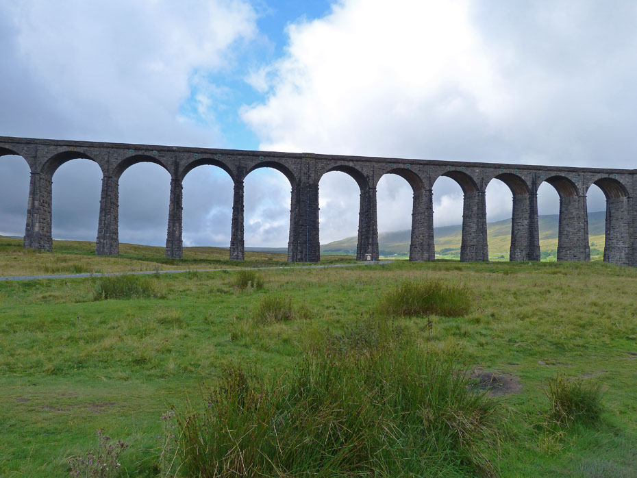
Ribblehead Viaduct with Blea Moor to the right.
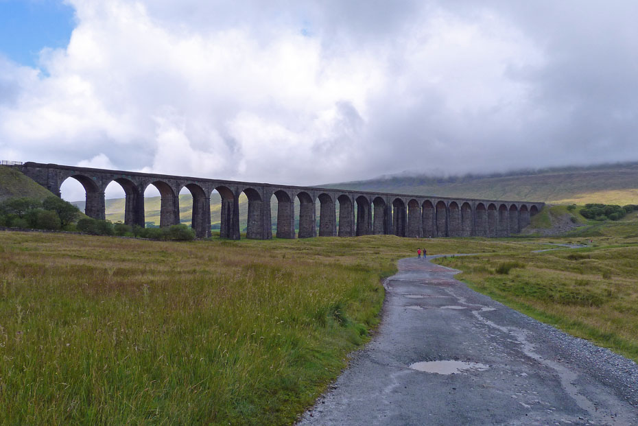
Having parked the car we made our along the 3 Peaks route towards Blea Moor sidings passing the imposing Ribblehead viaduct on our way.
It wasn't a bad morning at this point and we hoped for better things later. Across the valleys the familiar profile of Pen y ghent and Plover Hill.
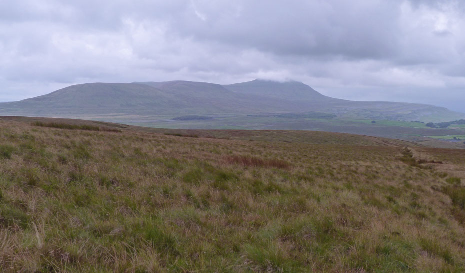
A look back as we come level with the railway line. Ingleborough is under a big bank of cloud although Park Fell is just about clear.
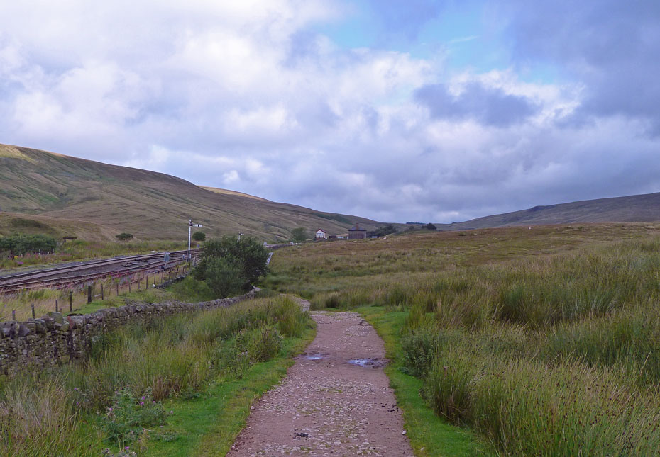
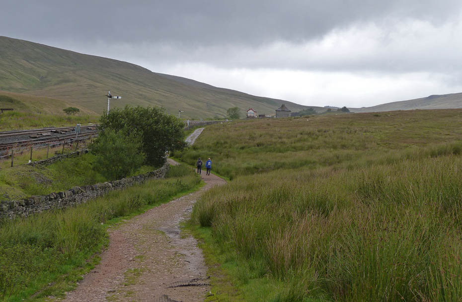
Following the track to Blea Moor sidings.
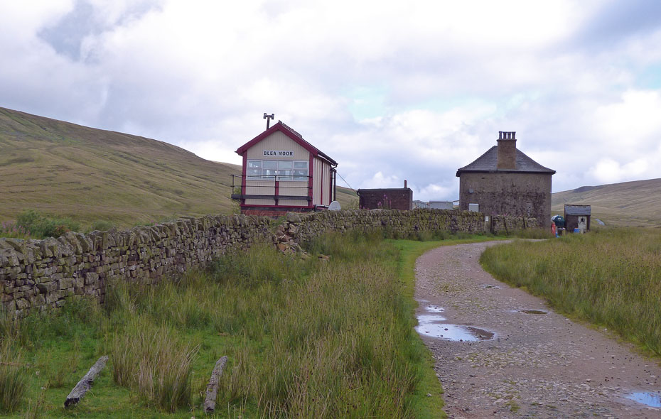
Blea Moor signal box
Another look back from above the signal box and things do seem to be brightening.
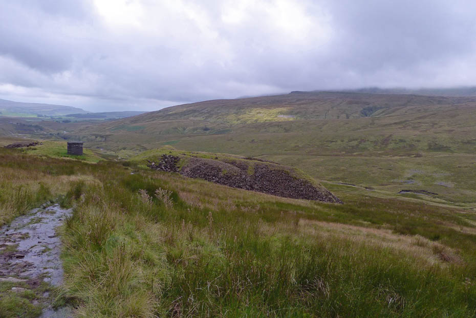
We left the 3 Peaks path to take this grassy path towards the spoil heaps on Blea Moor. It will eventually join the main track up.
Below us is Little Dale Beck and the aqueduct over the railway line.
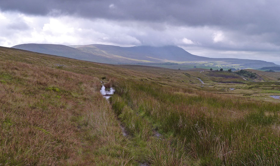
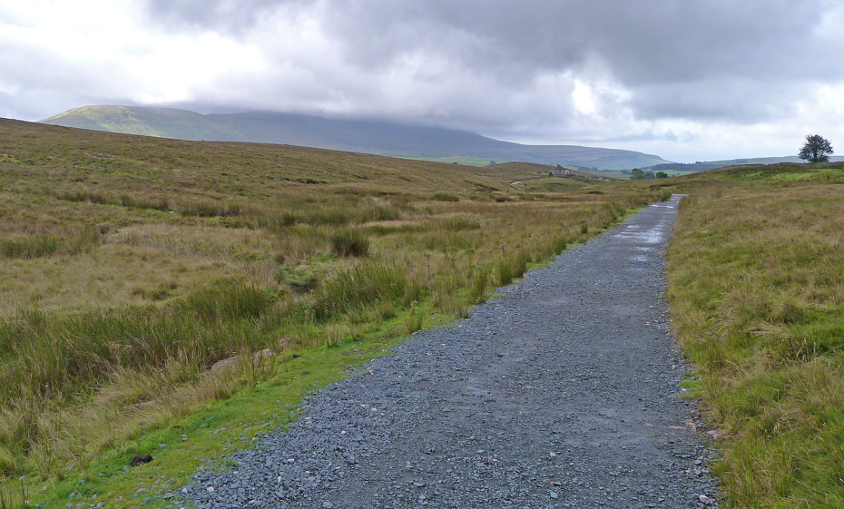
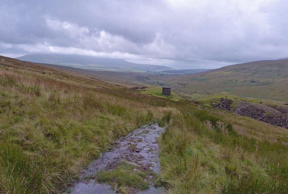
As we joined the main path up Blea Moor it became wetter and wetter although most of the worse could be easily missed.
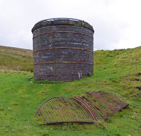
We eventually reached the first of the air shafts. Underneath is the Blea Moor Tunnel part of the Settle - Carlisle Railway. For more information on Blea Moor Tunnel and how it was built take a look HERE (opens in new page)
Our path continued up the wet track towards the next shaft.
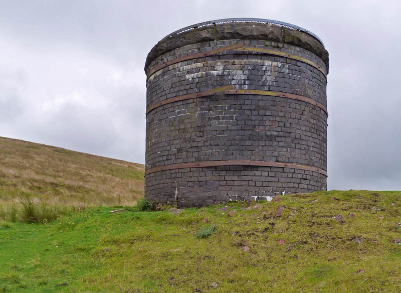
The air-shaft.
We continued upwards hoping that the day would brighten and at time it gave us hope.
The water was running down the track and my trail shoes were by now sodden on the outside.
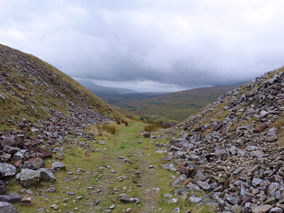
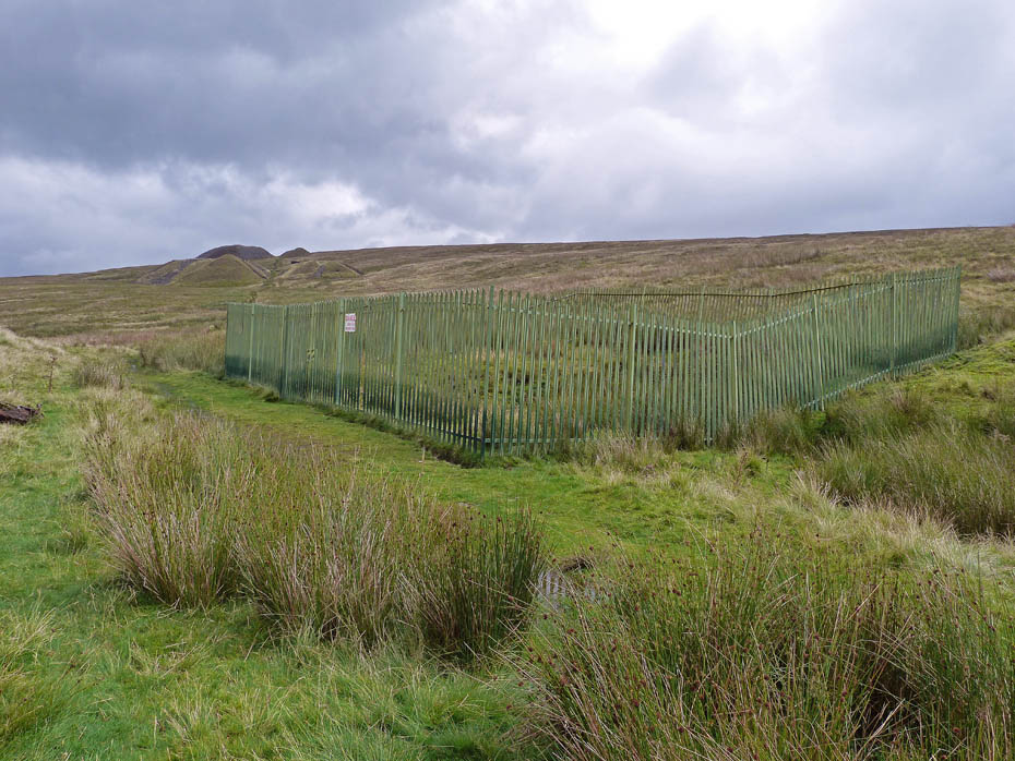
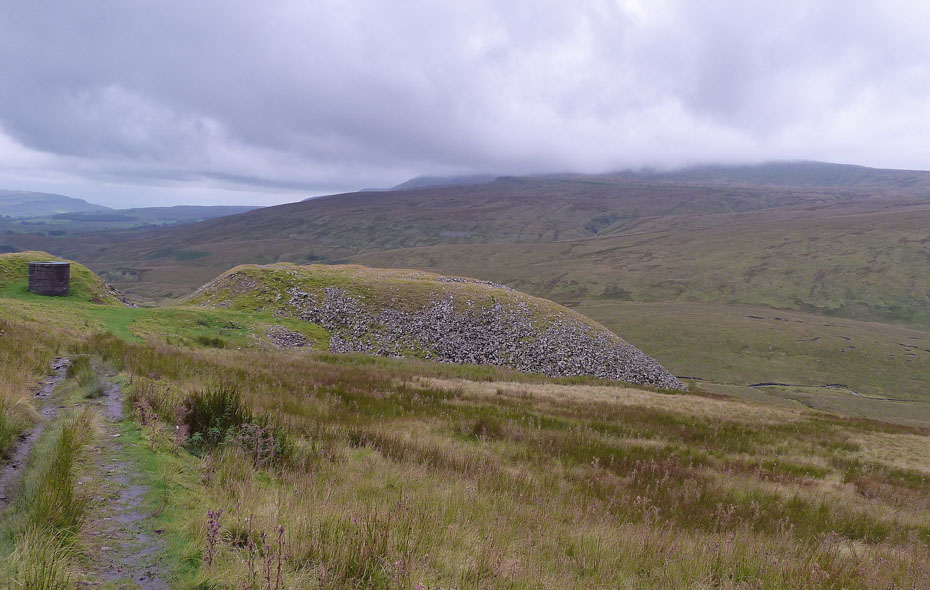
Passing through the spoil heaps of the next shaft.
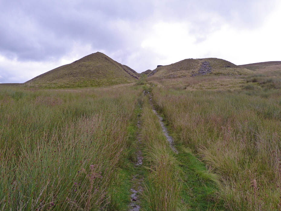
Isn't this fun!....another air shaft.
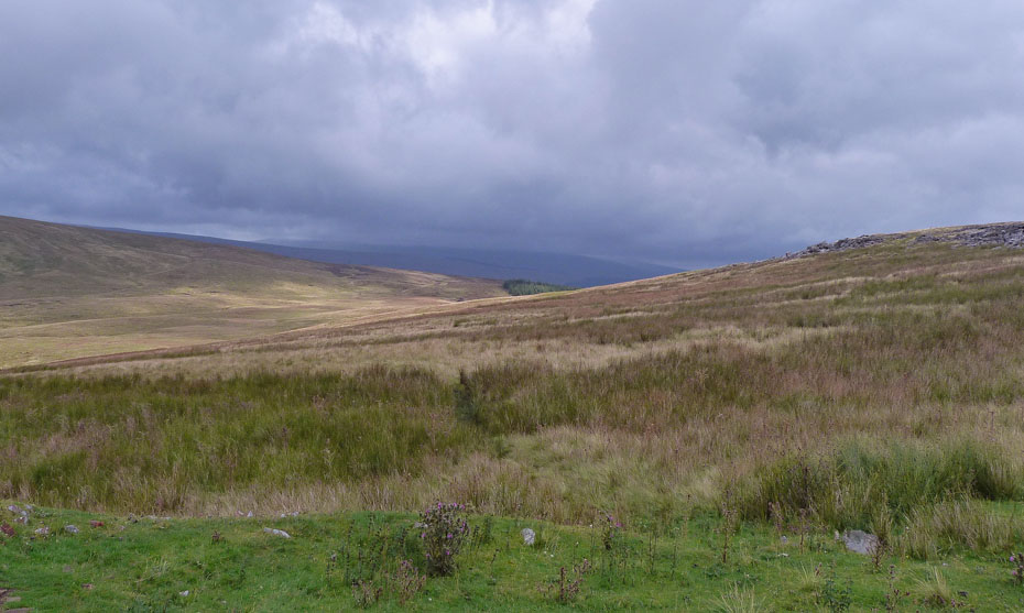
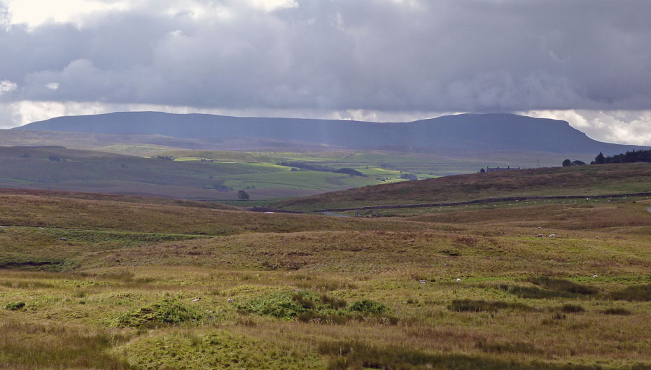
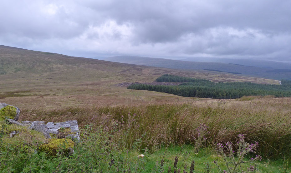
As we get higher the views (cough! cough!) into Dentdale start to appear. I believe that murky outline in the cloud to be Rise Hill.
Another look back as we near the highest point of this path. Whernside, to the right is almost visible.
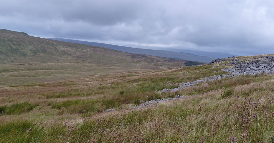
We stopped at the small craggy outcrop ahead for a bite to eat. To the left is Craven Wold. Look carefully and you may pick out the track of the Craven Way which runs over into Dentdale. Just behind the craggy outcrop on the far right is I think East Baugh Fell.
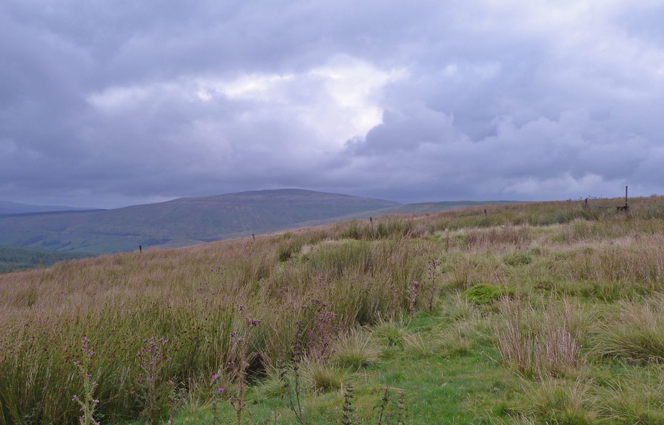
We left the path at this fence to turn right towards the summit. Ahead of us is Wold Fell (just) and Great Knoutberry Hill which having visited them before I have no desire to return to
Taken from the fence looking towards Aye Gill Pike & Rise Hill
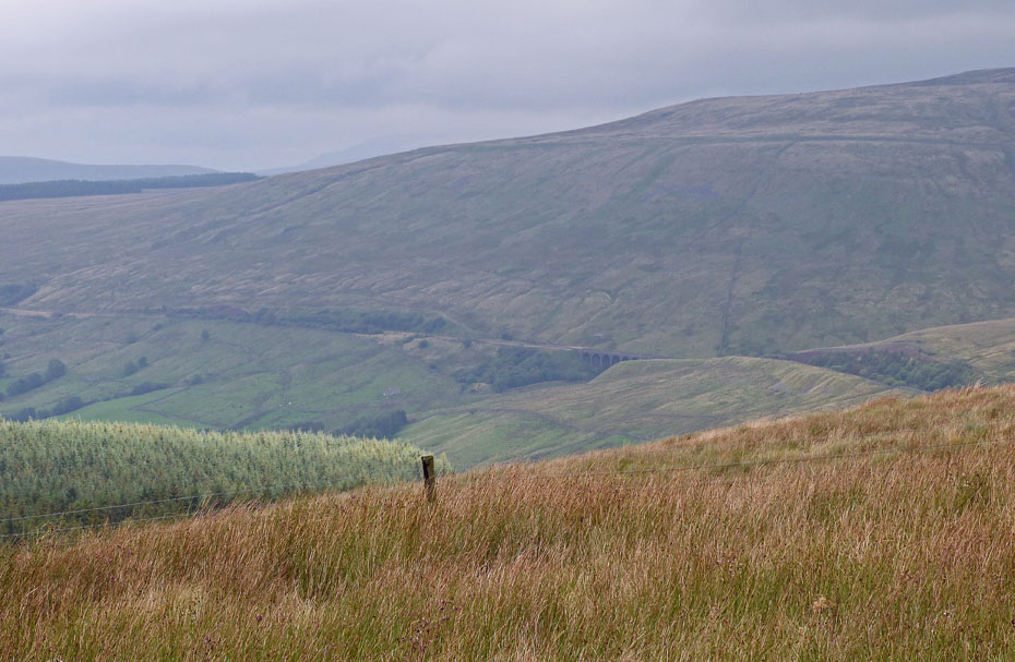
A close up of the Artengill Viaduct on the flanks of Great Knoutberry Hill.
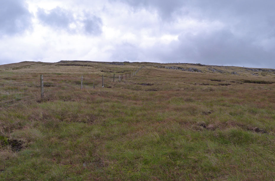
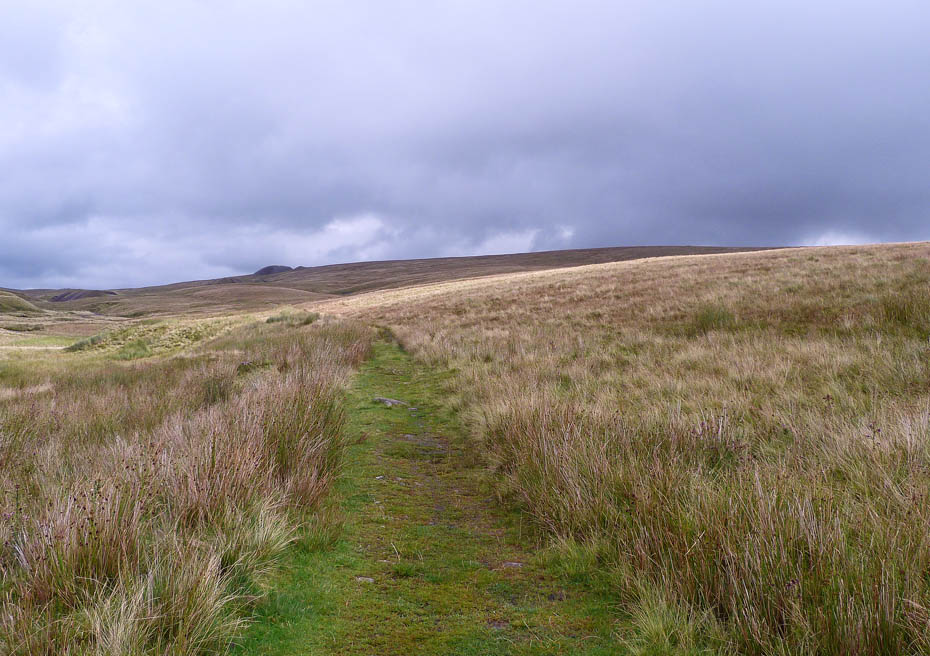
We followed the fenceline for a while before leaving it to head for the trig point. The route was tussocky and wet with some peat hags.
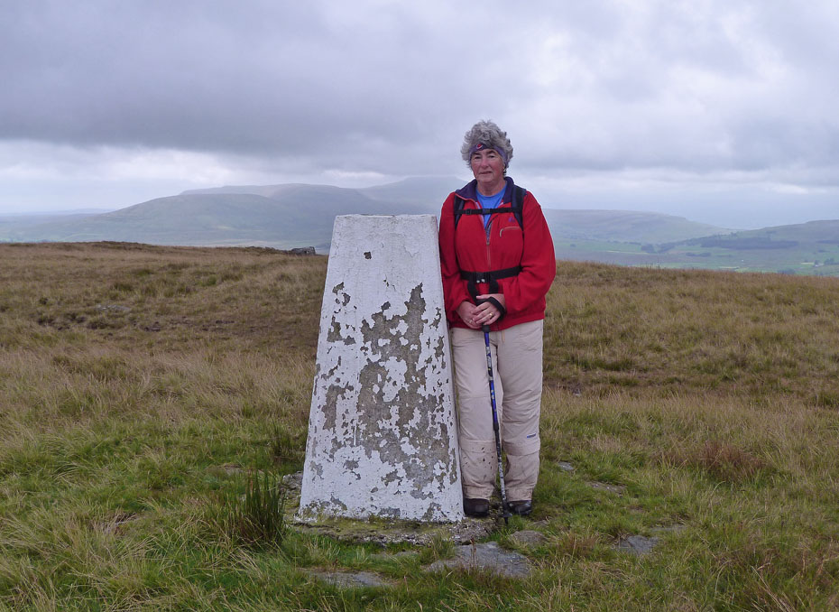
Edith at the trig point with Ingleborough behind....
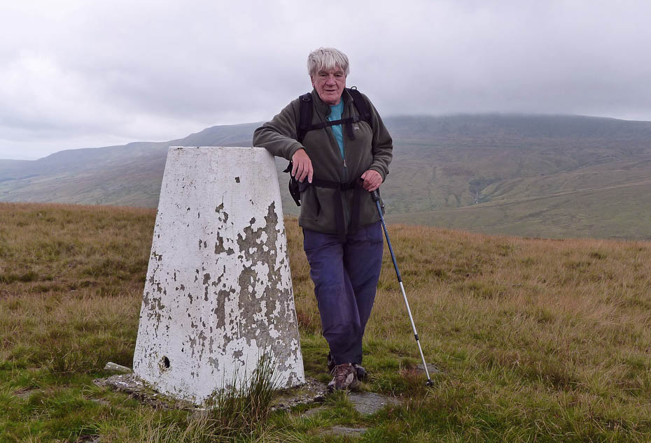
.....and me thinking "what the bloody hell made me want to come back here" with Whernside behind.
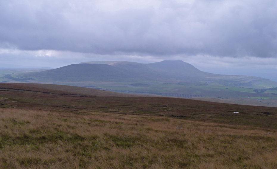
Ingleborough & Ribblehead from the summit.
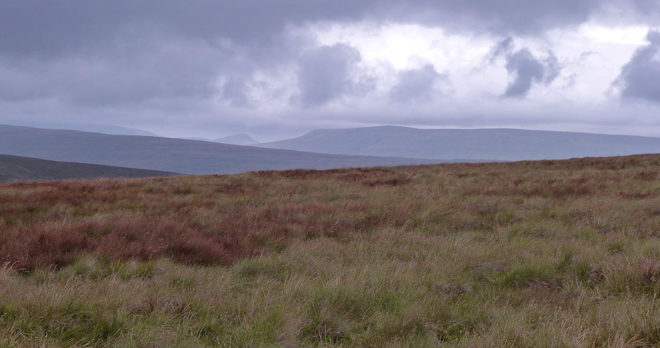
Looking over Rise Hill to Baugh Fell with distant Howgills.
There are no paths as such on Blea Moor, after all who but the insane would want to visit this place when the likes of Pen y ghent, Ingleborough and Whernside (my order of preference) are close by. My plan had been to just head southwards towards Ribblehead but a mixture of wet and rough ground made for a change. We headed for this Gill on the right and followed it down a way towards the 3 Peaks path. The lower side of the gill was reasonably dry ground.
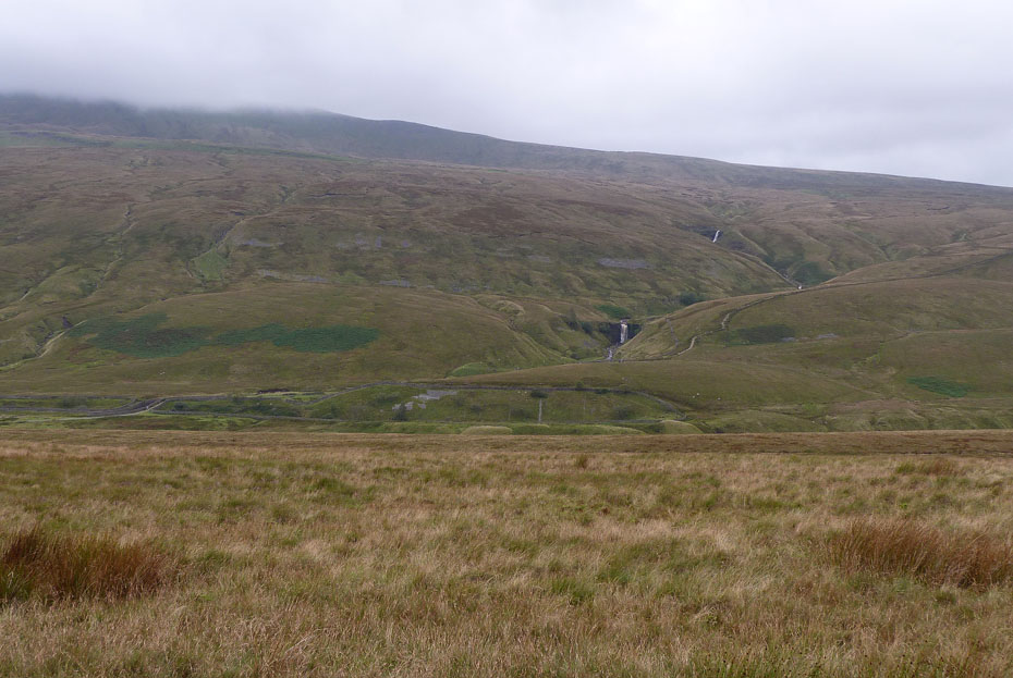
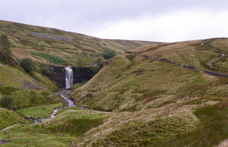
Another bright idea then sprung forth, "let's go and have a look at the waterfall". "It's a few years since we visited it and it's only across there". Thereafter followed a descent over very wet and rough ground with Edith starting to think I should be sectioned.
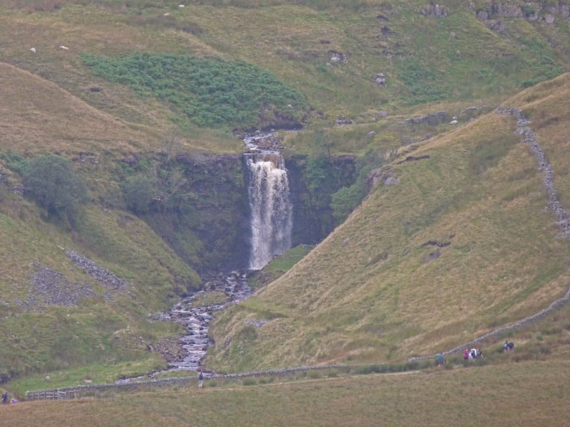
In retrospect I would have probably been better concentrating on a good close up rather than visiting.
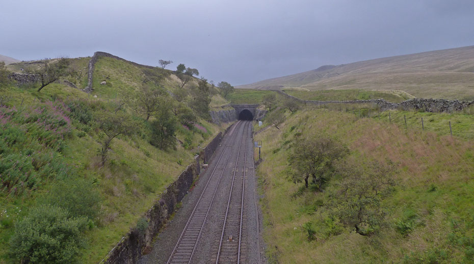
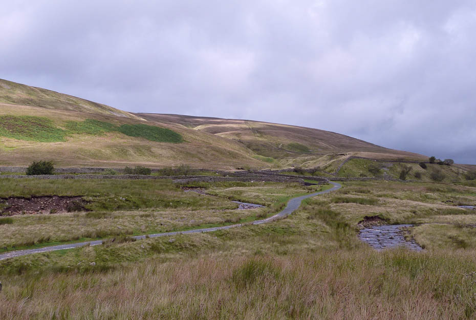
We crossed the Settle - Carlisle railway line at the aqueduct....
....to make our way up the 3 Peaks path a short way before diverting to the waterfall.
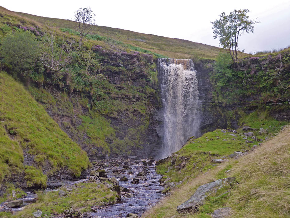
As we got closer to Force Gill however it started to rain and also the spray from the fall was being blown towards me so it was just a quick point and shoot and let's get the heck out of here.
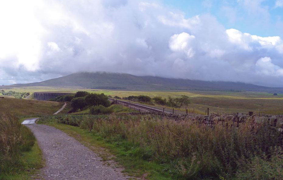
The rain didn't last long however and we were soon on our way back to Ribblehead with a look back towards Blea Moor sidings.
And finally....just a short walk back down to Ribblehead and the car where after a change of footwear I enjoyed a lovely bacon & egg bun and a cuppa. And that folks was possibly the best part of my day on Bleak Blea Moor.
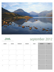
The Calendar season is upon us again. I have had a number of enquiries as to whether I will be producing a calendar this year. Once again the answer is no as I have neither the inclination to do so, or to make money out of what I enjoy. We normally support the R.N.L.I and Mountain Rescue in purchasing our calendars directly from them. However readers may be interested in this one from the Friends of the Lake District....At only £8.00 it offers good value for money and you will know that the monies raised will go to the the only charity wholly dedicated to protecting Cumbria's landscape for the future. Just clicking on the picture will take you to the website.
Next Walk: 22nd August 2011 - NW Lancashire - Ladies Day at Sunderland Point
Last Walk: 20th August 2011 - Arnside & Silverdale AONB - The Knott from Silverdale.
Do you have a Facebook or Twitter account? We post regular updates on both plus some additional pictures. Just click on either of the links below and add us.
Dave Brown Wainwright-Wanderings
![]()
Create your badge

We hope you have enjoyed viewing this walk. If you have any comments please sign our Guestbook or E_Mail us.
