
| Area: | Lake District | Ascent: | 610 feet |
| Walk No: | 604 | Time: | 2hours 40minutes |
| Date: | 26th September 2011 | Parking: | Roadside on B5284 at Cleabarrow |
| Distance: | 4.25 miles | Weather: | Fine & Sunny |
For those of you that are thinking of going onto the hills I would strongly recommend that you read the advice given by the Mountain Rescue organisation of England and Wales. To read this advice, which will open in a new page please click HERE. If you would like to make a donation to the Mountain Rescue organisation which is purely voluntary please click HERE. Please make the time to read the advice page.
---------------------------------------------------------------
It was Edith's choice today as she wanted to spend some time in the garden in the afternoon. Having missed my last visit to Cleabarrow she picked this walk and we were away straight after breakfast. Only another short walk with little ascent, but splendid views in all directions from both these small summits. A far better route than that of AW's having no housing estates to walk through.
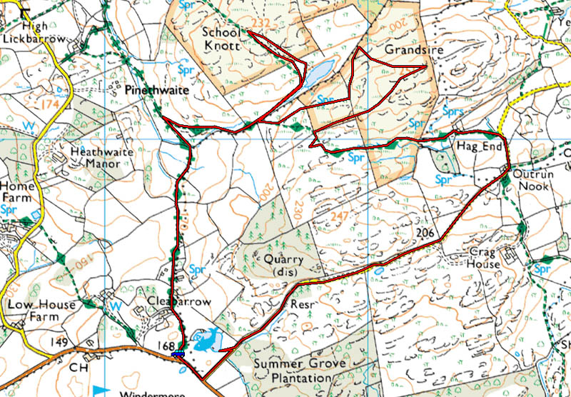
Route Map
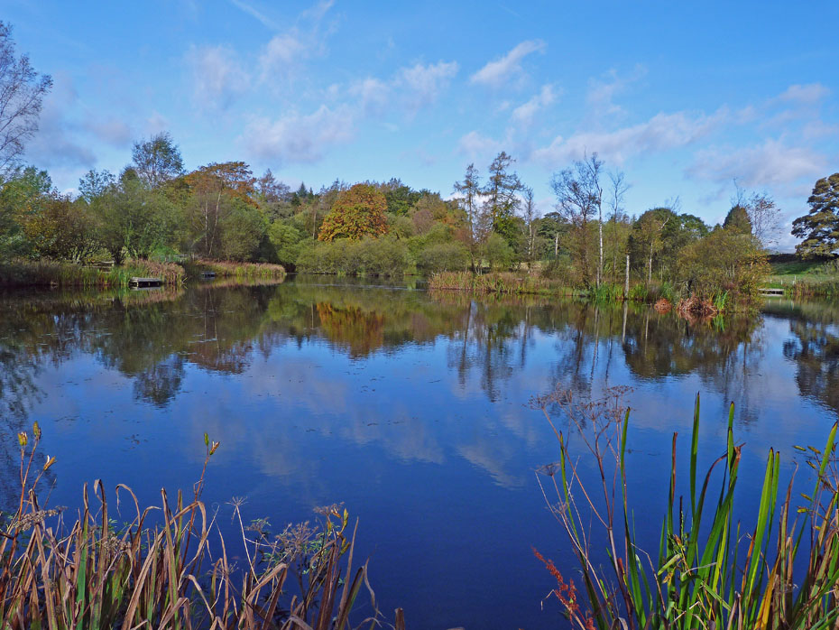
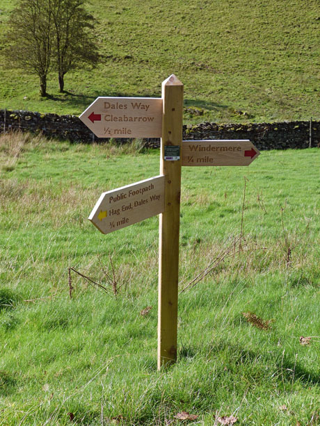
We left the car at our usual parking spot and decided to go via Hag End. A short back along the B5284 took us to the gated lane and a short diversion took us down to the delightful Cleabarrow Tarn.
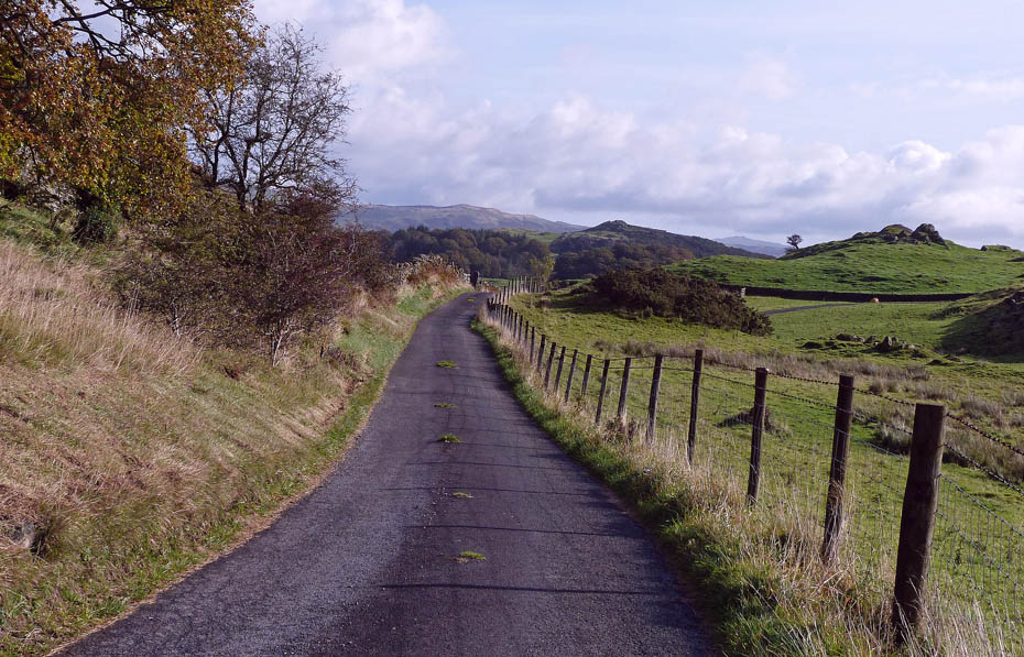
We have walked along this lane so many times and have rarely been bothered by any traffic.
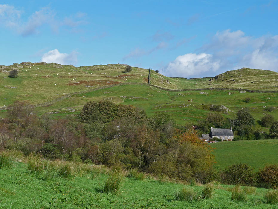
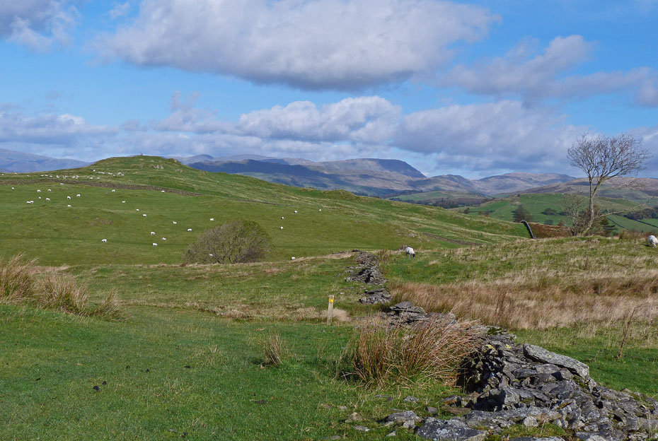
Soon we were able to see the rooftops of Hag End with Grandsire to the left.
However we have a little way to go first as we walk down to pick up the Dales Way at Outrun Nook.
Outrun Nook.
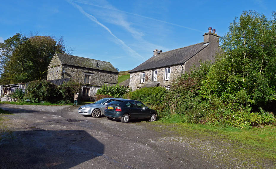
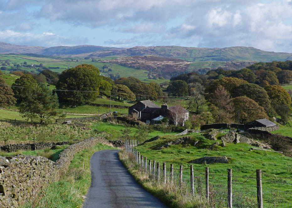
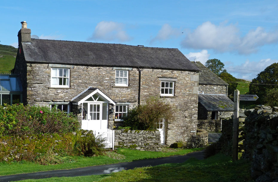
A short walk brought us to Hag End where are path goes between the two buildings. There's a cafe here but at this time of morning it wasn't yet open.
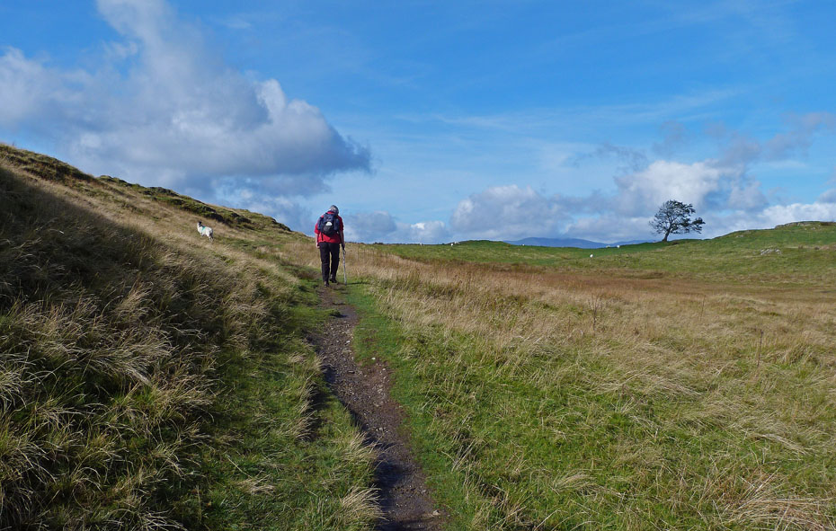
Edith strides out along the Dales Way.
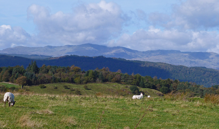
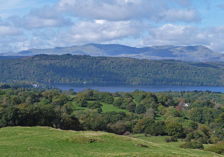
A short diversion from the Dales Way gave us some views of the Coniston Fells over Claife Heights....
...and the cloud-topped Crinkle Crags and Bowfell along with the Langdale Pikes.
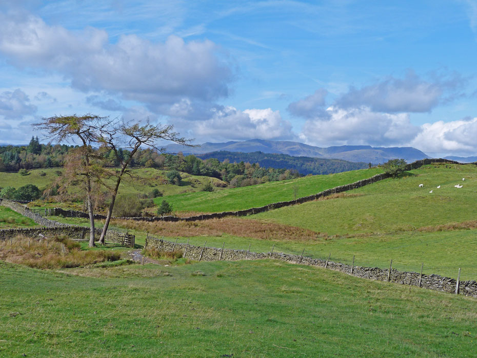
Just after the point where the Dales Way starts to descend we turned off to the right to make our way to Grandsire.
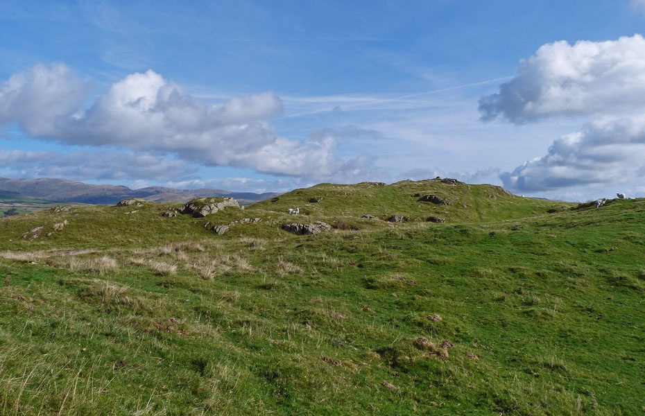
A short easy walk to the summit.
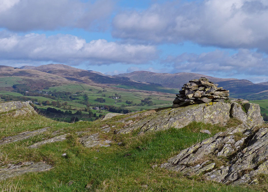
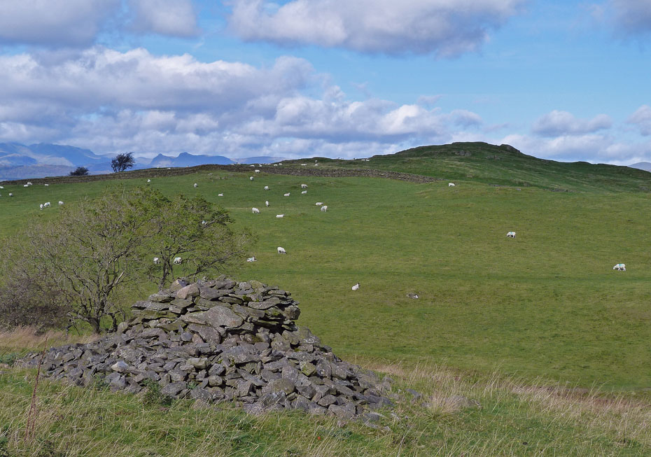
Grandsire summit cairn.
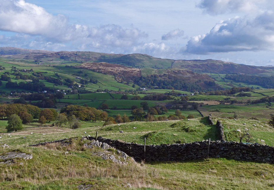
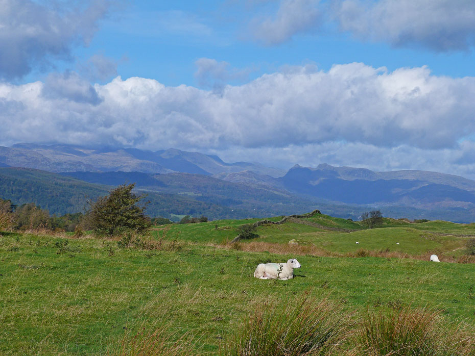
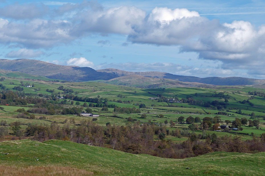
Looking over Reston Scar and Hugill Fell to Brant Fell from Grandsire.
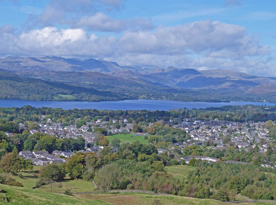
Looking over Schoolknott plantation and Windermere to the fells of Great & Little Langdale.
From Grandsire we made our way down to the gate in the wall at the northern end of the tarn. We arrived to find it locked shut which was rather puzzling as it as been used for a long time as a way between Grandsire & School Knott. It wasn't in very good order for climbing so we had to climb a short way back up to pick the track which AW shows in the OFL book.
The track took us down to where the Dales Way goes through the wall and down to the left. Our way however was to the right and soon..
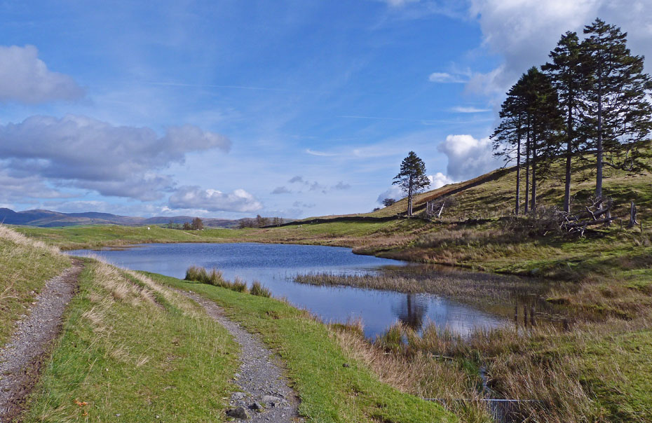
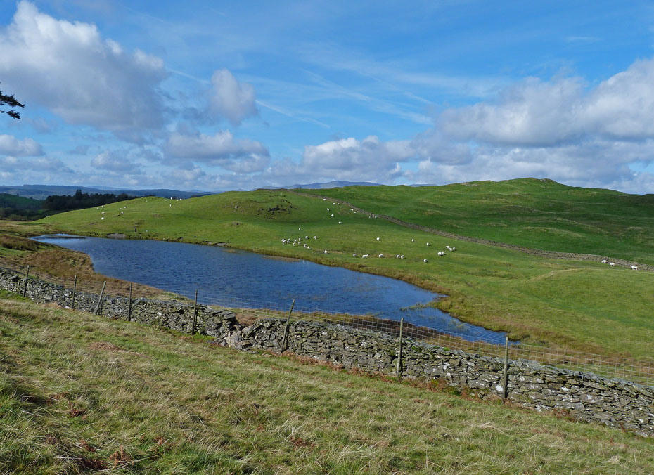
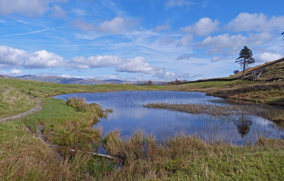
....took us to School Knott Tarn.
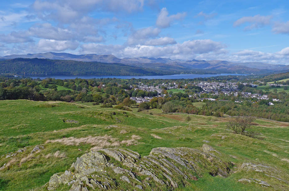
A short walk from the tarn soon had us on the summit of School Knott which although only a very modest 760' gives some very good views for those that come here.
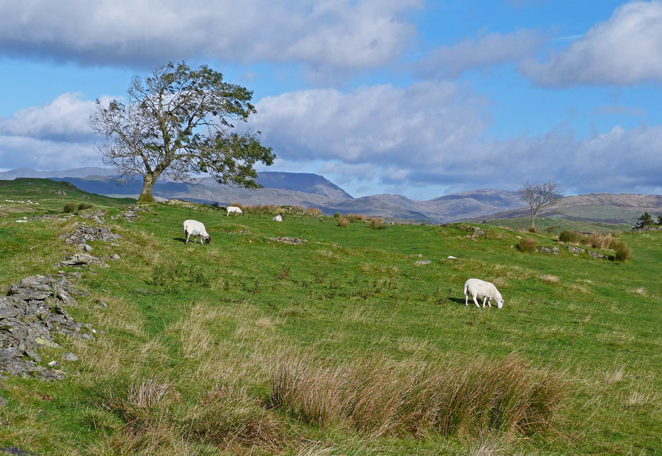
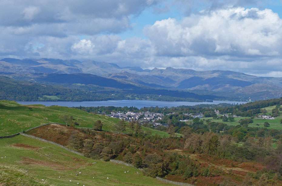
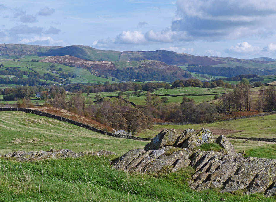
The Coniston Fells over Windermere and Claife Heights.
The Langdale Fells over Windermere.
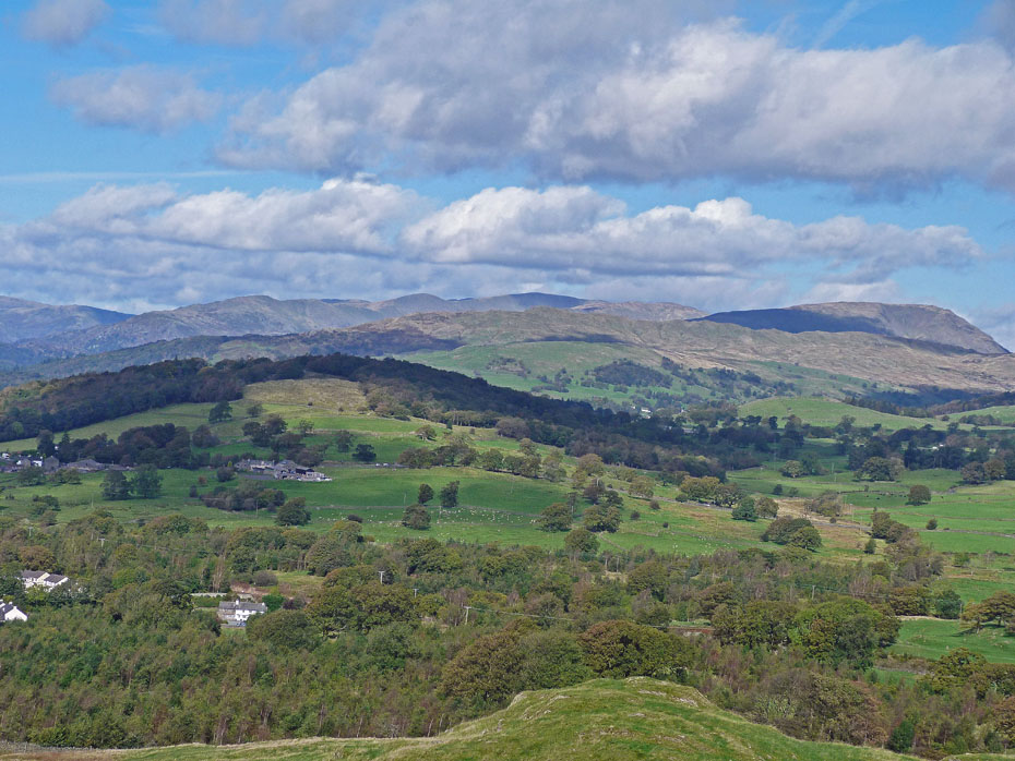
Looking over Orrest Head and Wansfell to the Fairfield Fells....
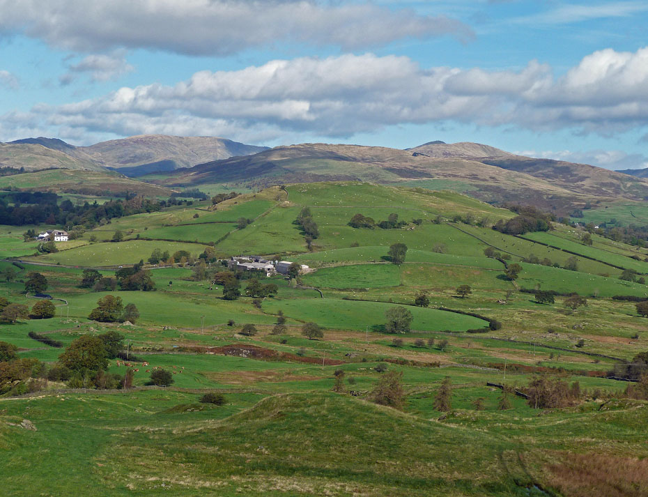
....and over Banner Rigg to Sour Howes and the Kentmere fells.
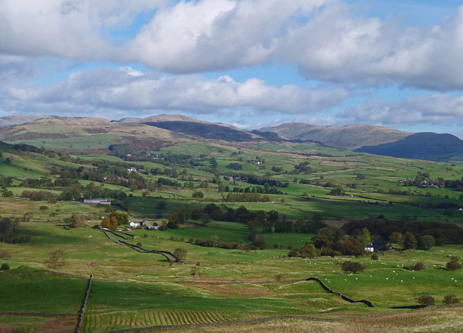
Reston Scar and Hugill Fell from our fruit stop.
Back down at the tarn.
From the farm we followed the path down to rejoin the Dales Way....
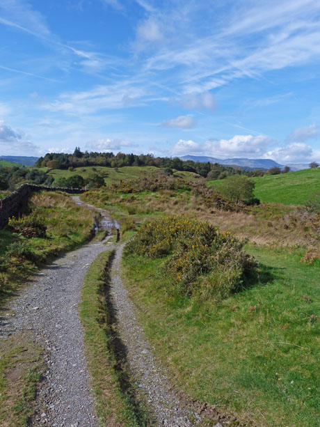
...which took us down to the B.O.A.T. that runs between Cleabarrow and Heathwaite.
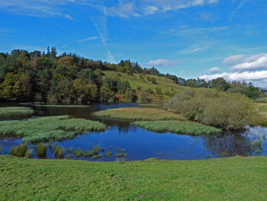
After recent rain this tarn is now full again.
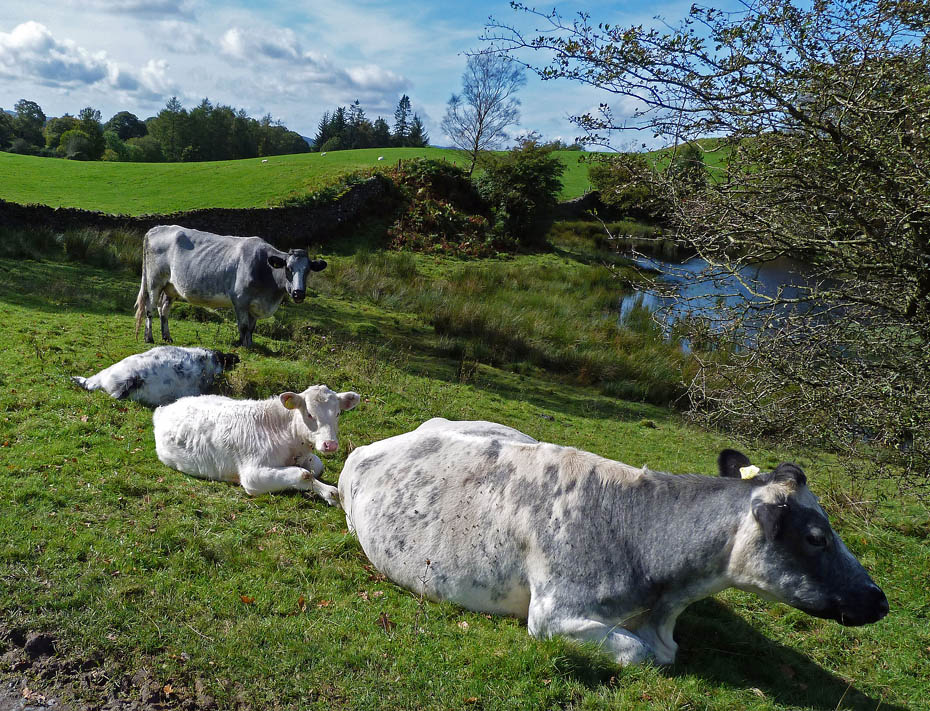
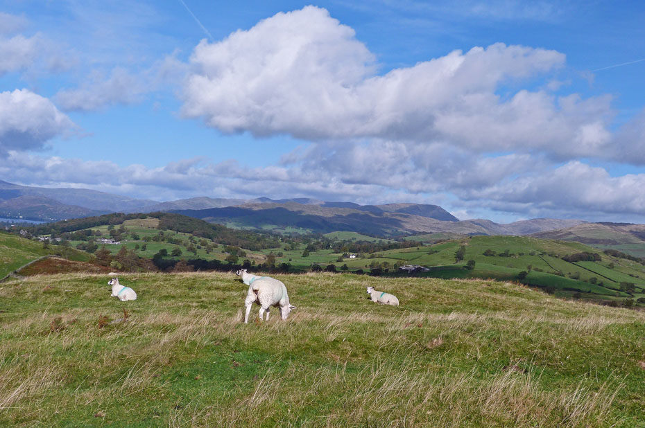
Some locals chilling out in the sun.
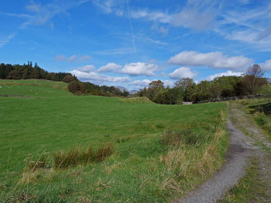
From here it was just a short stroll back to the car.
Next Walk: 28th September 2011 - Lake District - Torver Back Common & The Cumbria Way
Last Walk: 25th September 2011 - Arnside & Silverdale AONB - Dallam Deer Park and Sandside.
Join us on Facebook for regular updates.
Dave Brown Wainwright-Wanderings
![]()
Create your badge
We hope you have enjoyed viewing this walk. If you have any comments please sign our Guestbook or E_Mail us.
