| Area: | NW Lancashire | Ascent: | 110feet |
| Walk No: | 645 | Time: | 2hours |
| Date: | 25th February 2012 | Parking: | Crook O'Lune Picnic site (£1.00 per day) |
| Distance: | 4.00miles | Weather: | Overcast with some sunny spells |
For those of you that are thinking of going onto the hills I would strongly recommend that you read the advice given by the Mountain Rescue organisation of England and Wales. To read this advice, which will open in a new page please click HERE. If you would like to make a donation to the Mountain Rescue organisation which is purely voluntary please click HERE. Please make the time to read the advice page.
---------------------------------------------------------------
I seemed to struggle on yesterdays short walk and had decided that if we did venture out today it would be a level walk along the river. We left home straight after breakfast and were soon parked up at the Crook O'Lune picnic site (now £1.00 for the day) for this walk along the river with a return down the cycle track.
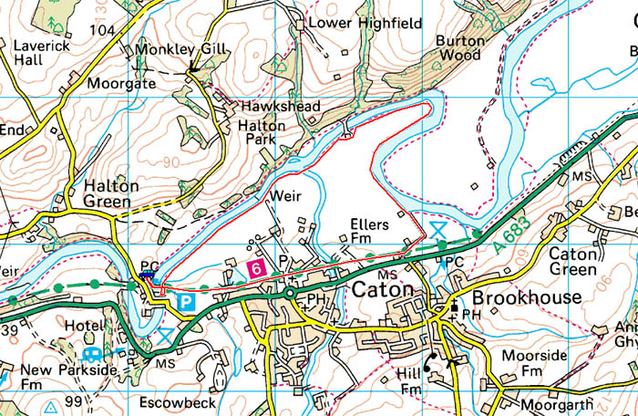
Route Map
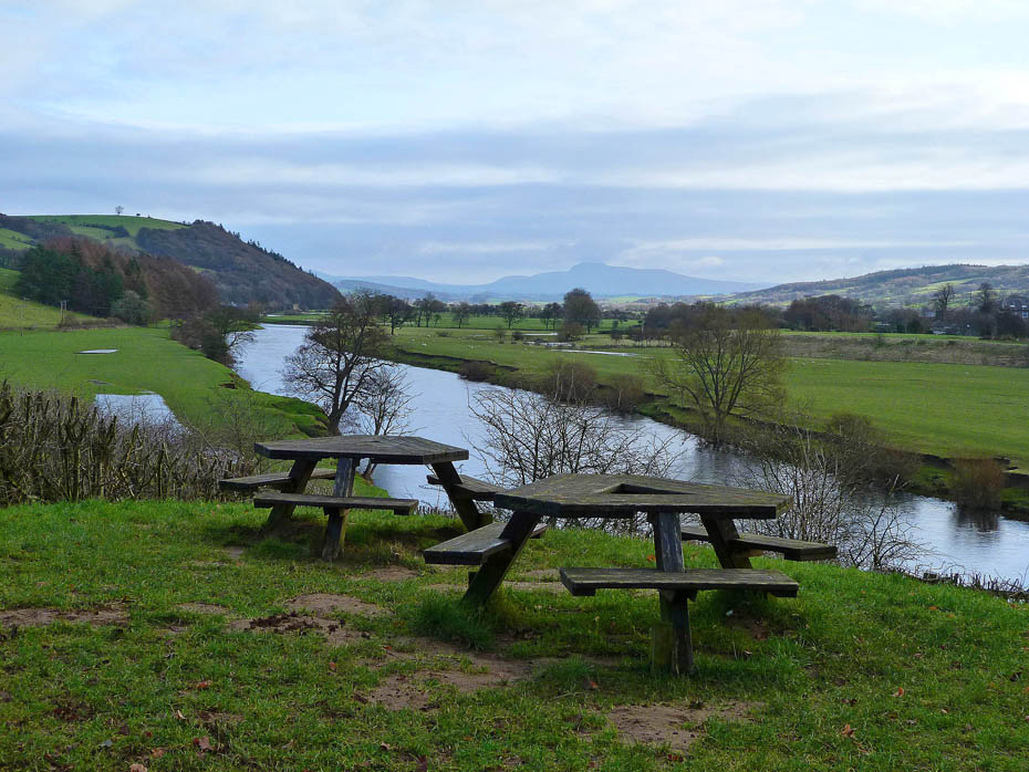
It wasn't the brightest of mornings when we arrived at the picnic site but at least Ingleborough was in view looking up the Lune valley.
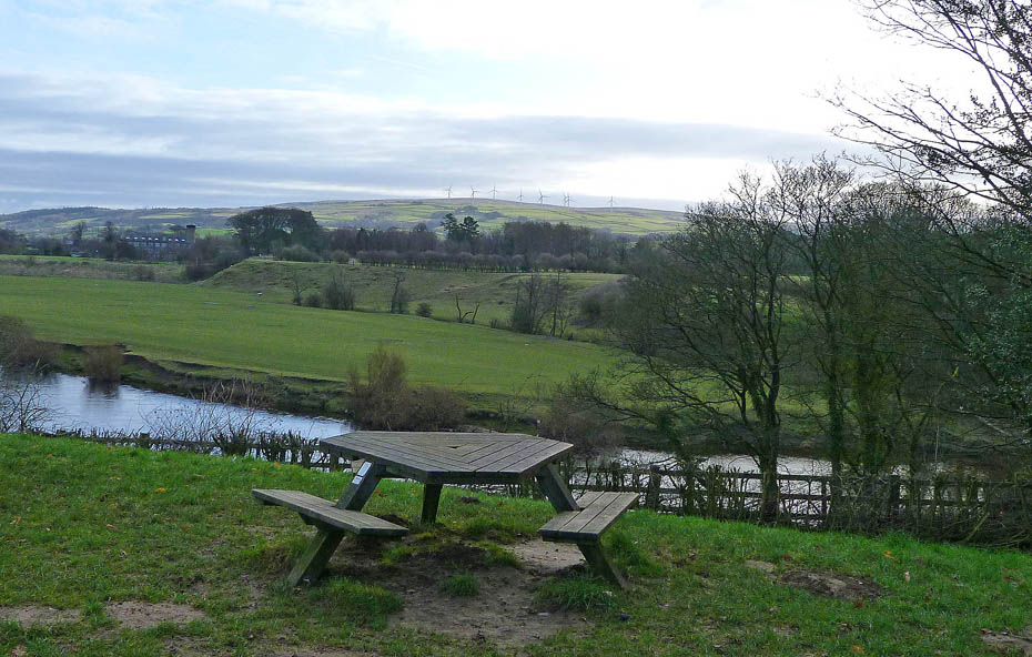
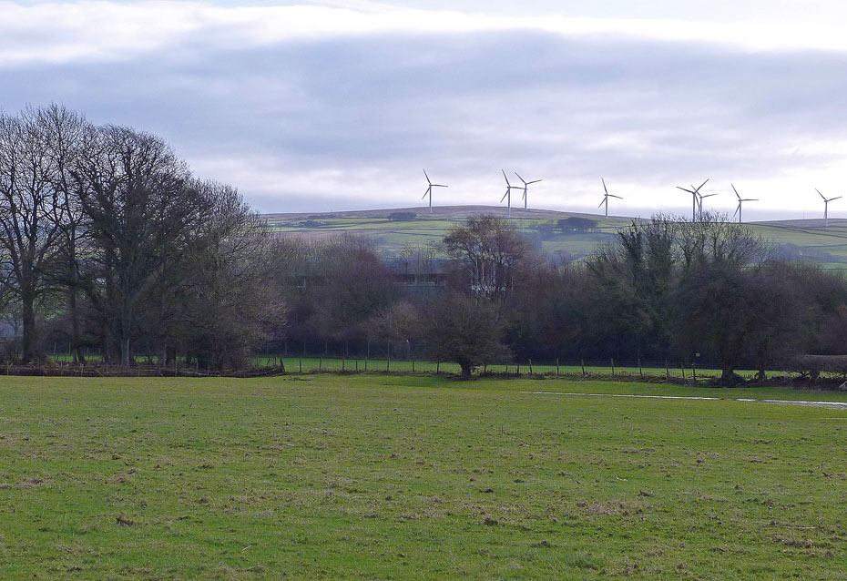
A look over to the wind farm on Caton Moor.
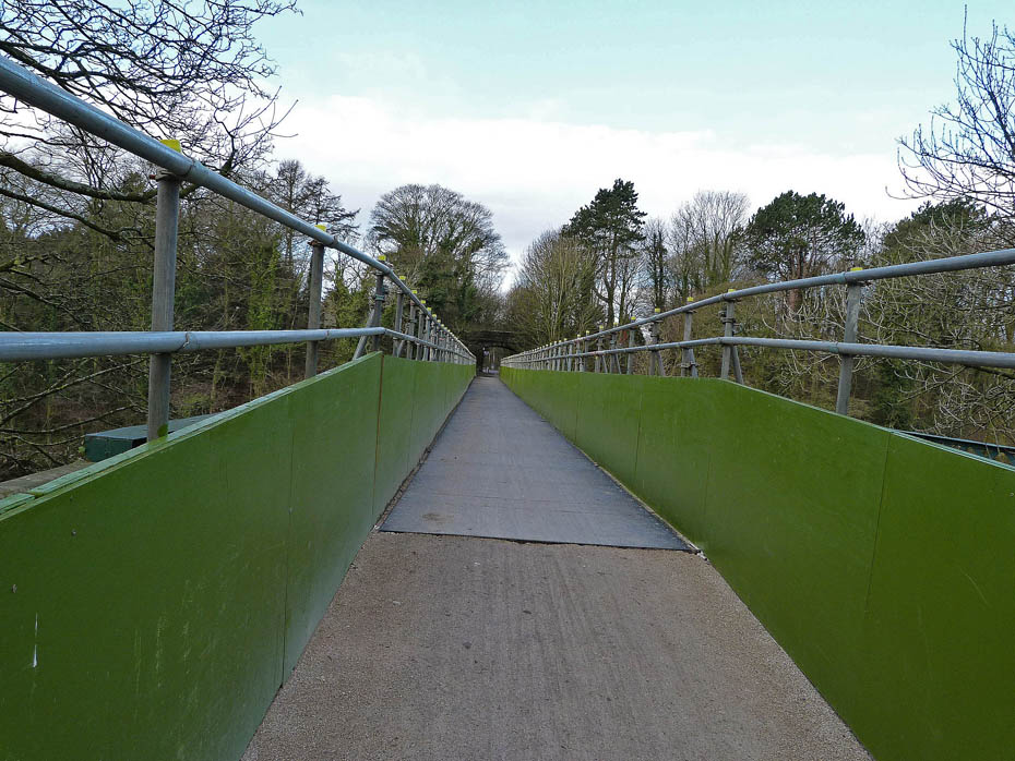
Repairs have been made to the old railway bridge and it is now open.
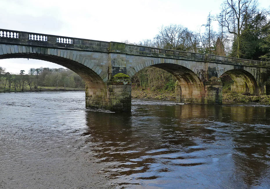
After crossing the old rail bridge we took a path off to the right which led down to the river between the road bridge, shown here and the...
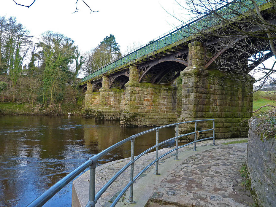
..old rail bridge which we passed under to gain access to the...
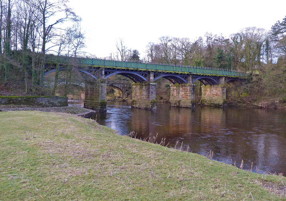
...riverbank.
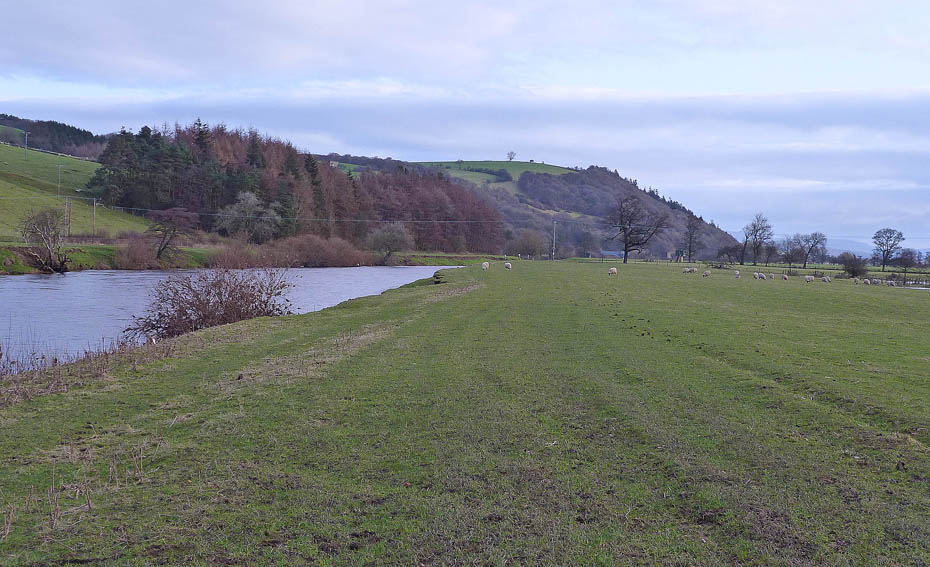
Route finding is fairly straightforward from this point....keep the river on your left!
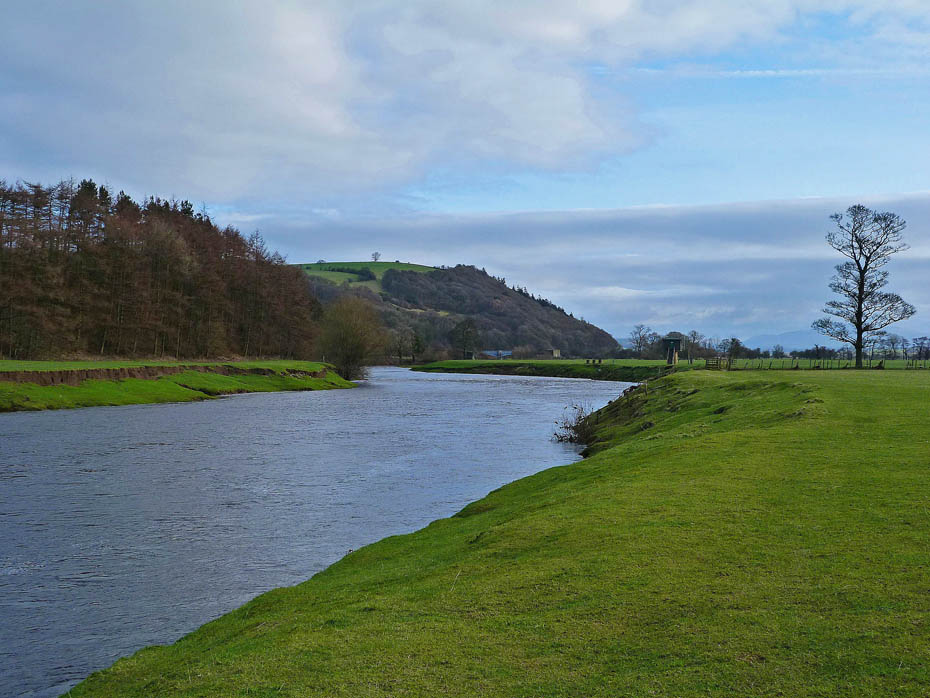
After a short while the weir and flow measuring station come into view ahead.
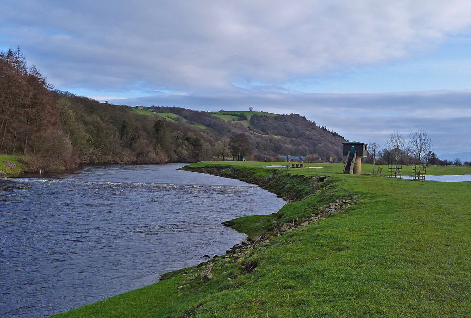
There is plenty of water coming down the river today after recent rain.
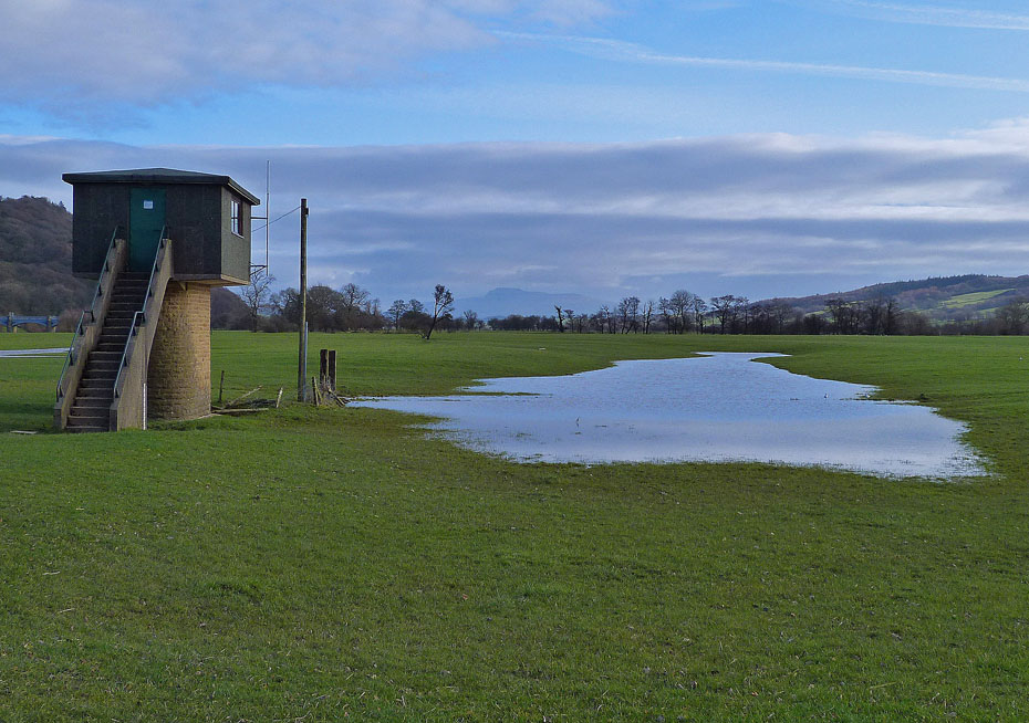
The flow measuring station on its raised plinth for when the river floods over into the fields.
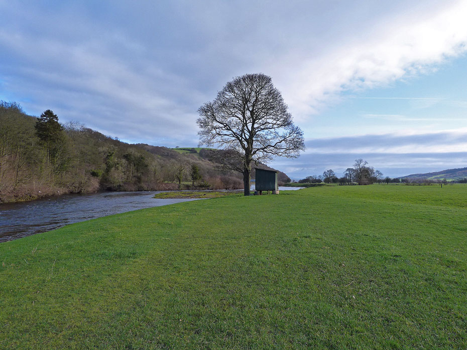
Onwards towards Artle Beck.
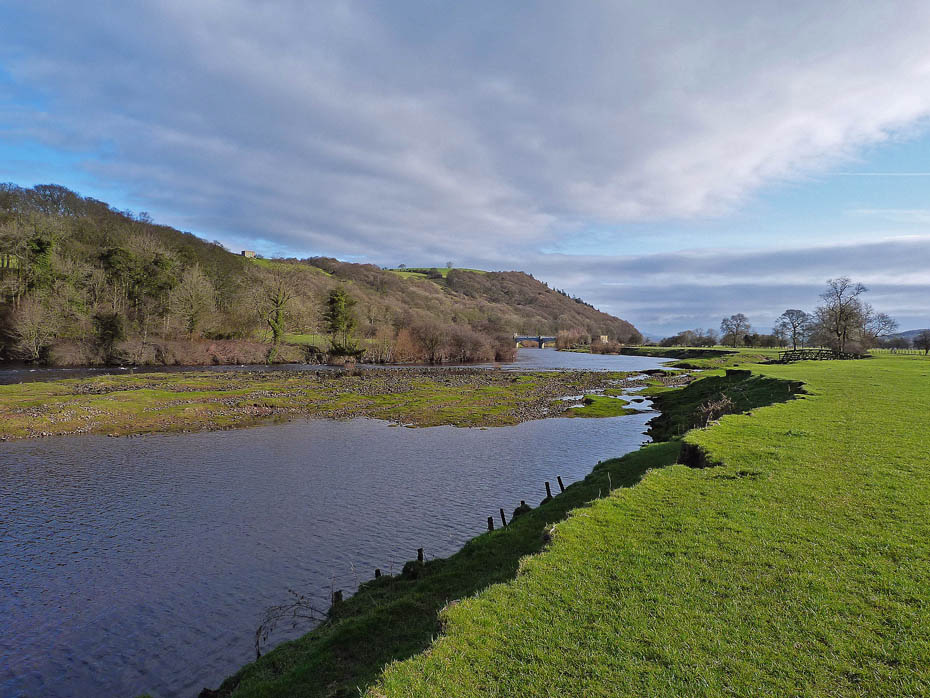
For a while we had some quite bright sunshine.
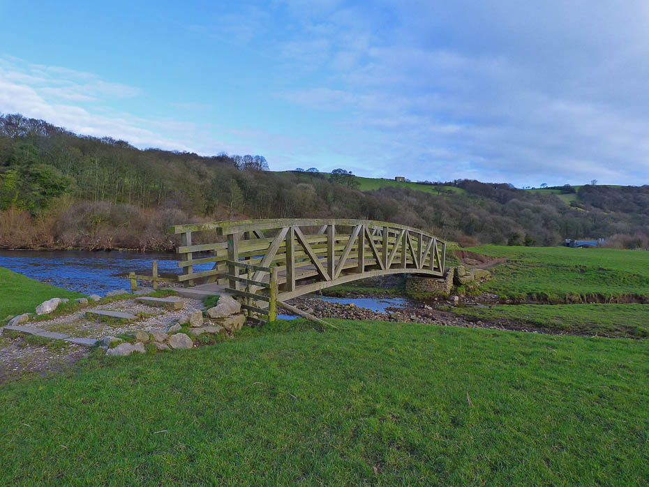
The footbridge over Artle Beck which would be the end of may walks along the riverside when in spate before the bridge was built.
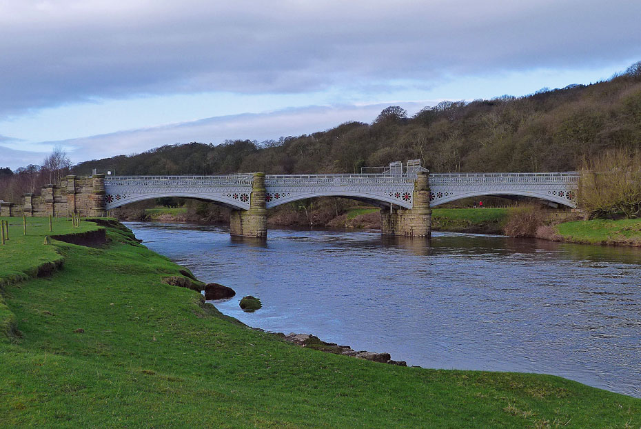
The Waterworks Bridge carrying the pipes that transport Lakeland's water to the people of Manchester.
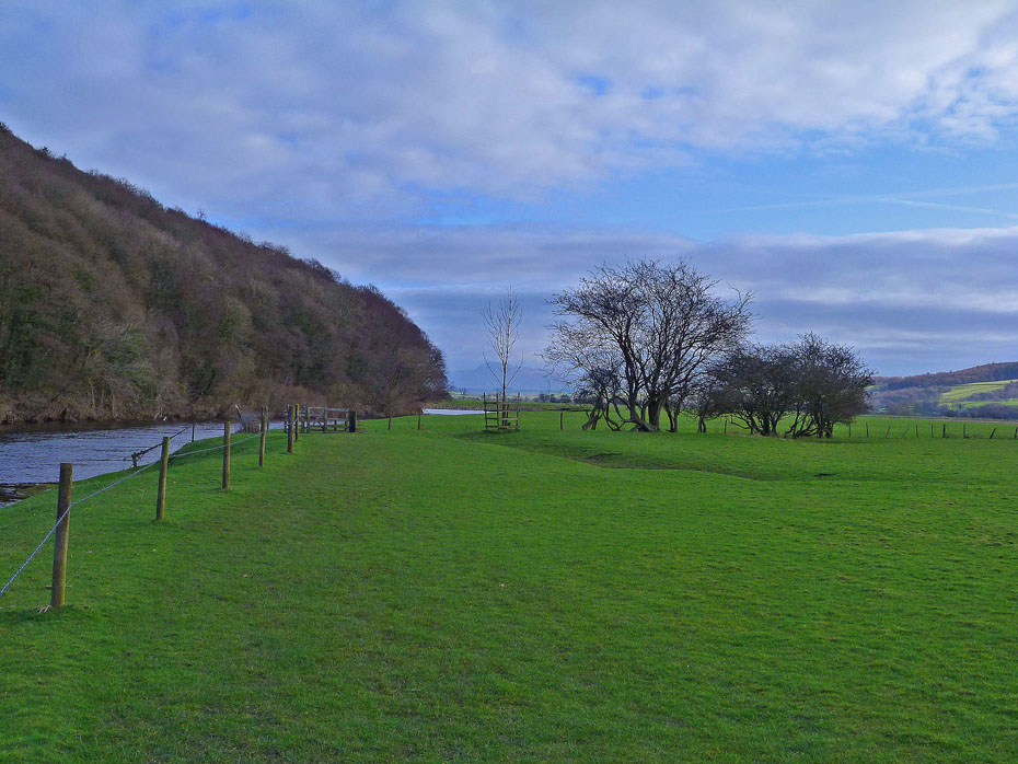
We carried on along the riverbank to where it does a 180° turn...
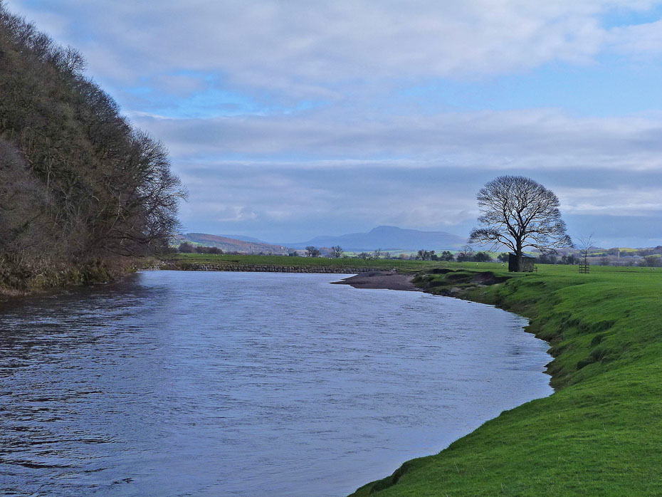
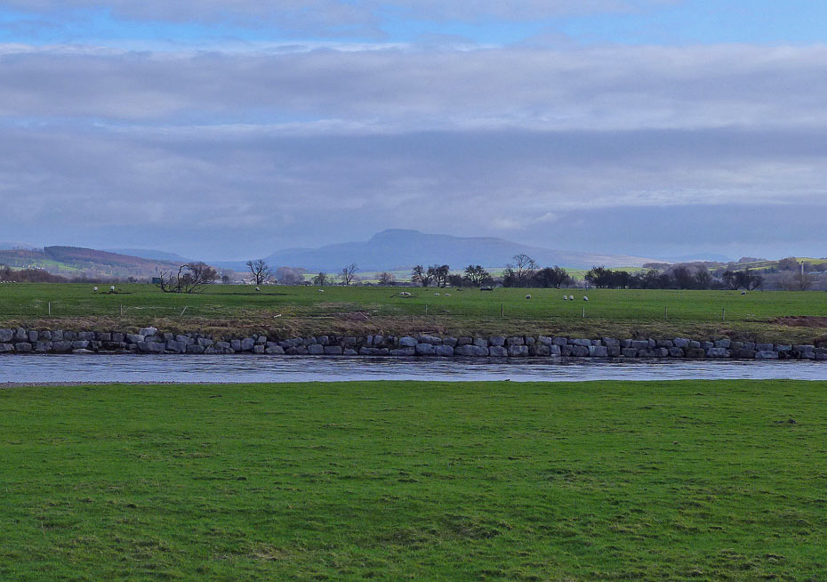
Ingleborough from the bend in the river.
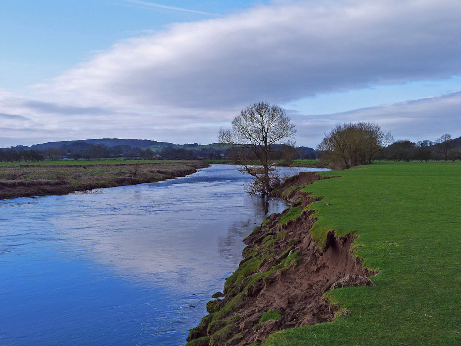
Having followed the bend round we are now walking in the opposite direction but still following the river upriver.
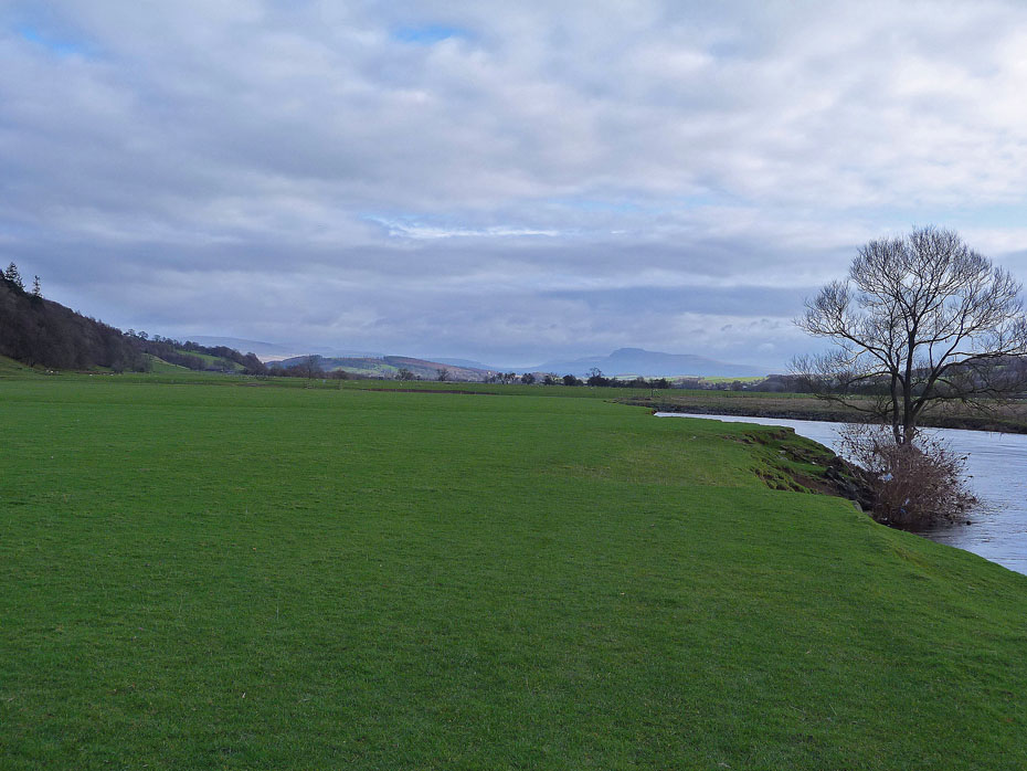
It was around this point that we had hoped to see a fe sheep with their lambs but there was nothing....
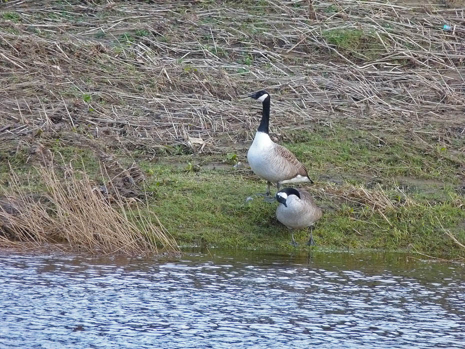
....apart from a few Canada Geese.
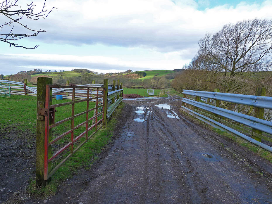
We are now about to leave the river. Last year when we did this walk we were surrounded by lambs here although it was a couple of weeks later.
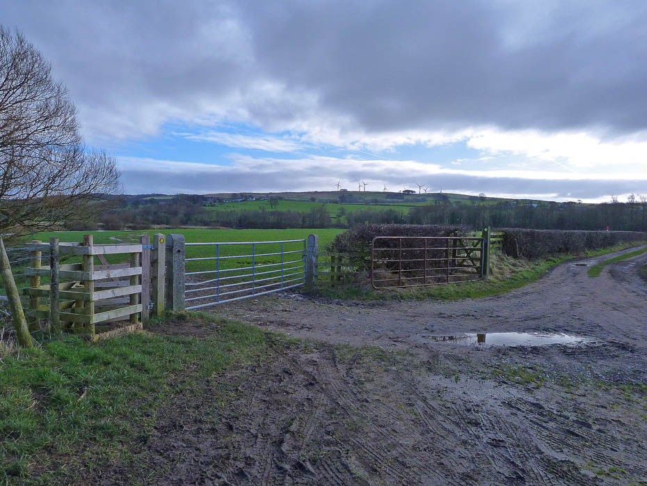
There's a choice of routes. Left along the river to the Bull Beck picnic site or right to the cycleway.....right it is!
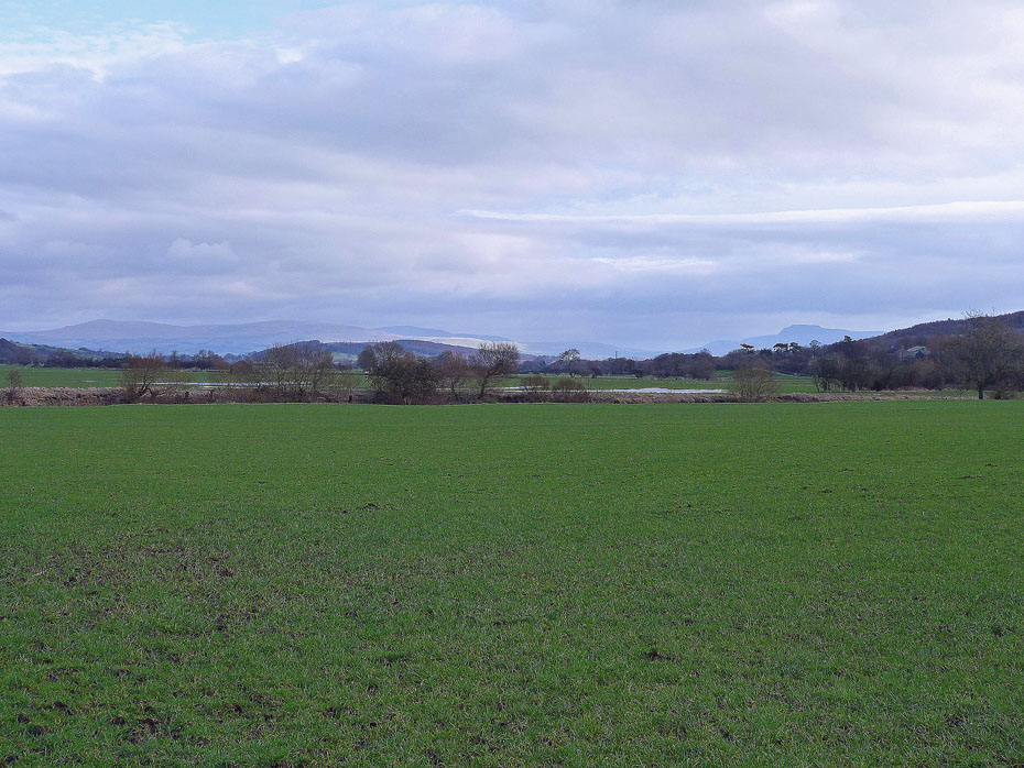
A look back up the valley and Gragareth and Whernside now accompany Ingleborough.
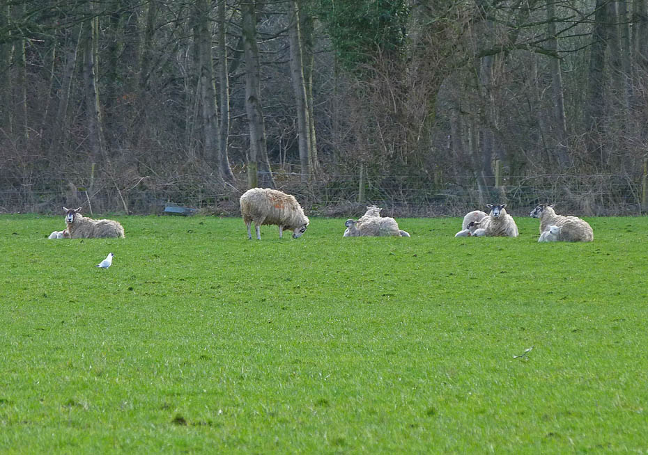
There were lambs about but at a distance. These were a good 200 yards away.
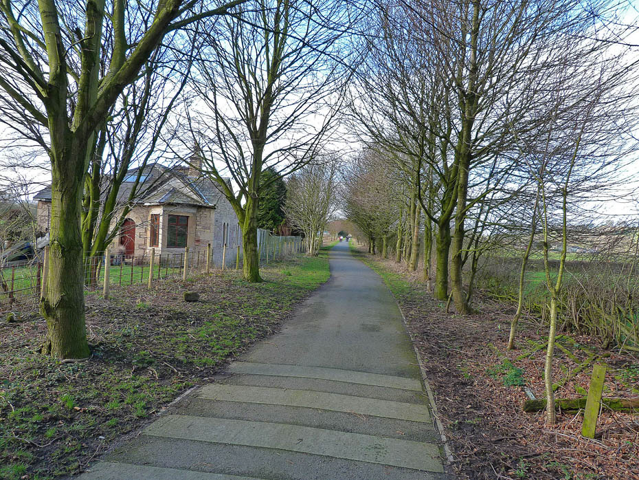
Our lane soon joined the cycleway back to the Crook O'Lune...
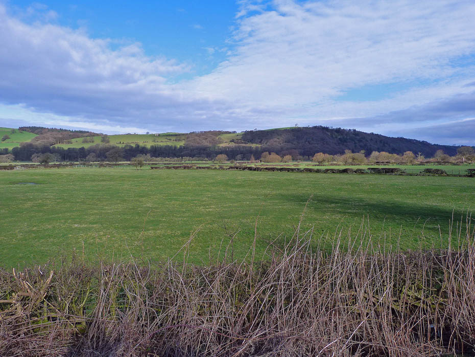
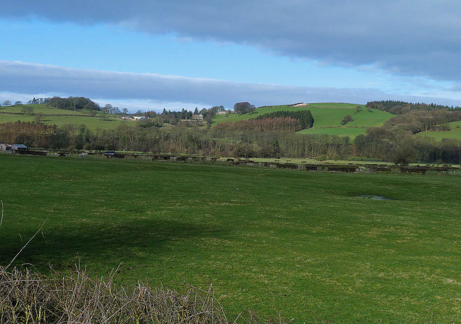
...and with the sun out again there were some nice views over towards Halton Park.
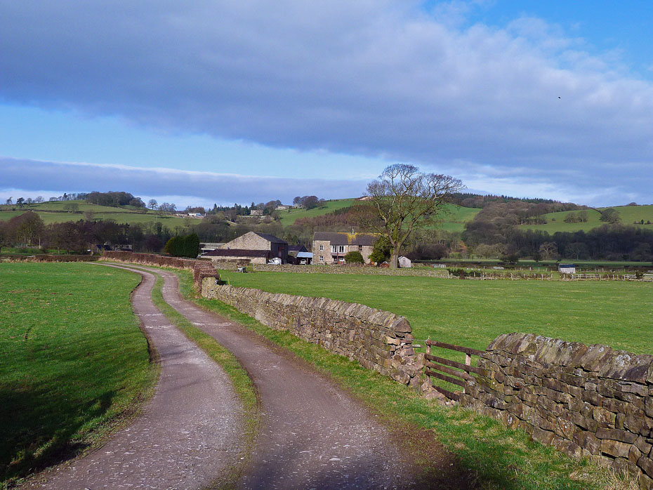
Passing Ellers Farm.
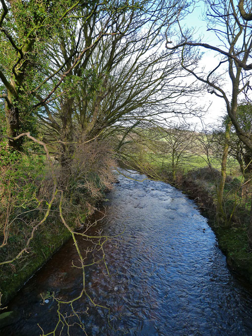
Artle Beck.
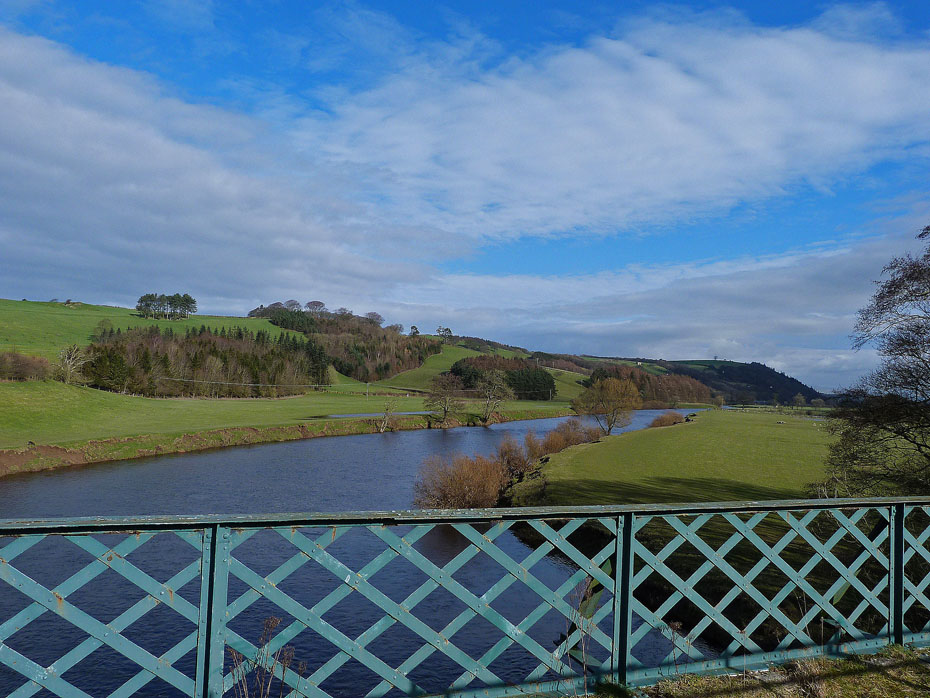
Back at the old rail bridge and it's a lovely day now....
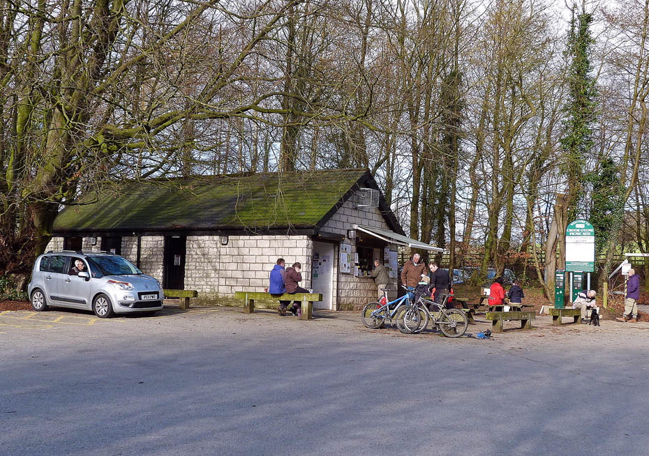
...perfect in fact for a bacon butty and mug of tea.
Do you have Facebook?.....The Wainwright-Wanderings website as its own Fan Page on Facebook where additional pictures are posted and information given about recent walks and updates to the website. Please feel free to take a look at the page and maybe even "LIKE" it to keep in touch. The link to the Page is given below.
Wainwright-Wanderings Facebook Fan Page
Next Walk: 1st March 2012 - NW Lancashire - The Lancashire Coastal Way at Glasson.
Last Walk: 24th February 2012 - Arnside & Silverdale AONB - Arnside Knott
We hope you have enjoyed viewing this walk. If you have any comments please sign our Guestbook or E_Mail us.