| Area: | Arnside & Silverdale | Ascent: | 250feet |
| Walk No: | 655 | Time: | 2hours 30minutes |
| Date: | 19th March 2012 | Parking: | Crag Foot |
| Distance: | 4.25miles | Weather: | Fine and mostly sunny. |
For those of you that are thinking of going onto the hills I would strongly recommend that you read the advice given by the Mountain Rescue organisation of England and Wales. To read this advice, which will open in a new page please click HERE. If you would like to make a donation to the Mountain Rescue organisation which is purely voluntary please click HERE. Please make the time to read the advice page.
---------------------------------------------------------------
With my ankle still a bit tender we decided on this walk around South Silverdale. It is a delightful walk with good views for most of the way and for those wanting to add a few miles there are many options.
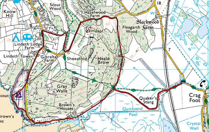
Our Route.
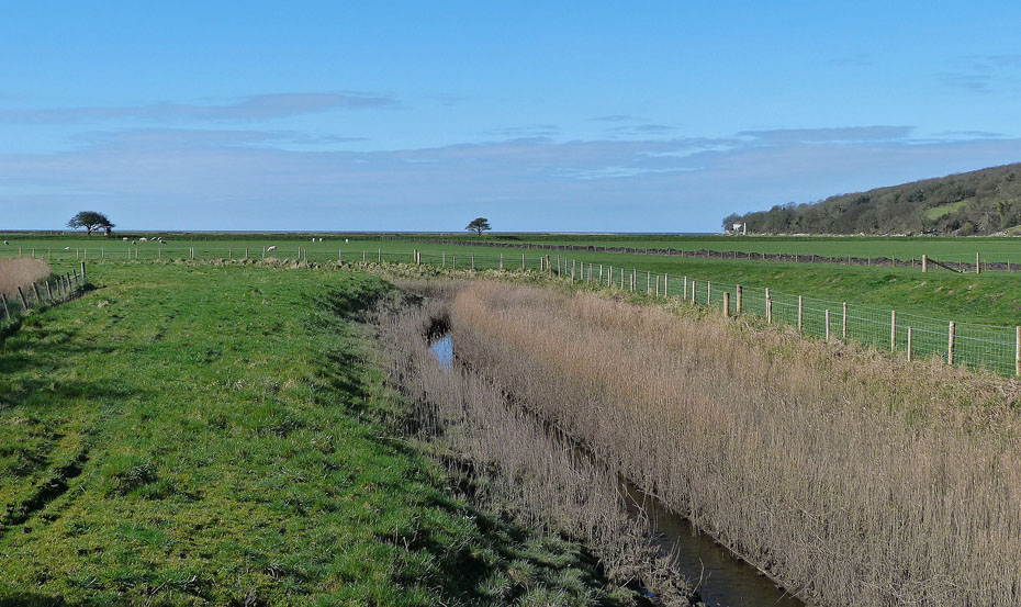
We left the car near Crag Foot at the start of a single track lane leading to the RSPB's Leighton Moss Allan & Eric Morecambe hides. We then walked down the lane which is part of the Lancashire Coastal Way towards Jenny Brown's Point.
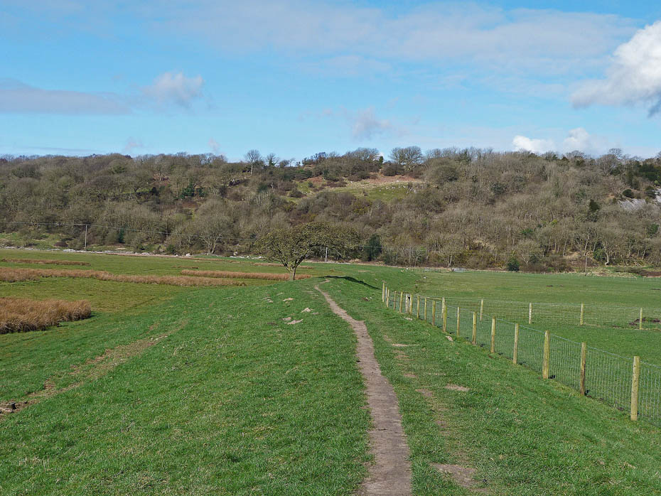
The OS Map shows the LCW crossing the fields to the right but this is not the case as it follows the crest of the flood prevention embankment.
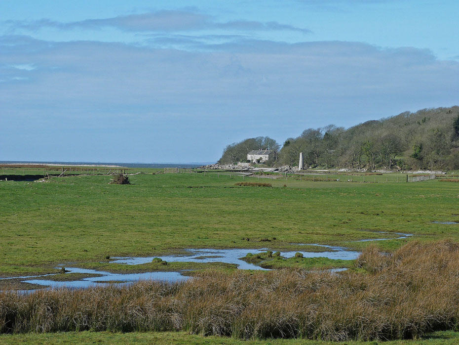
A zoom in on our first target of Jenny Brown's Point across Quicksand Pool.
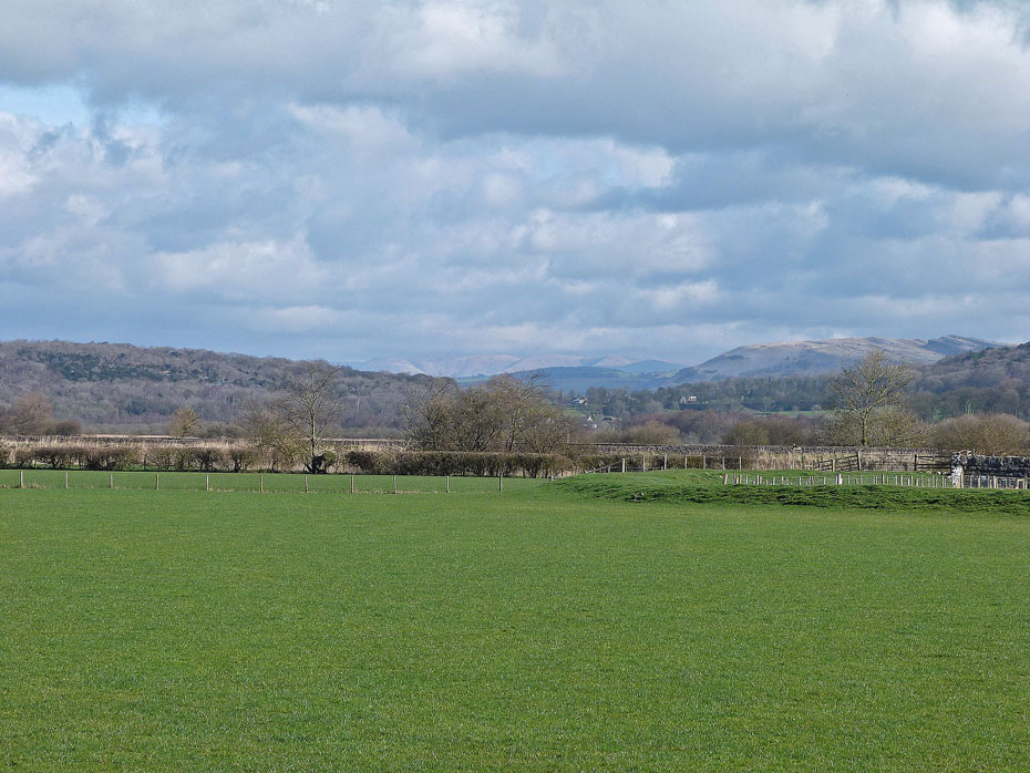
To our right Farleton Knott and the distant Howgill Fells.
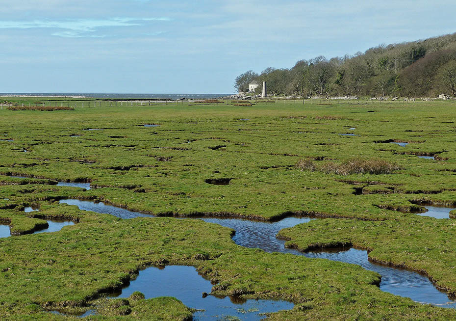
The short route across Quicksand Pool is not to be recommended!
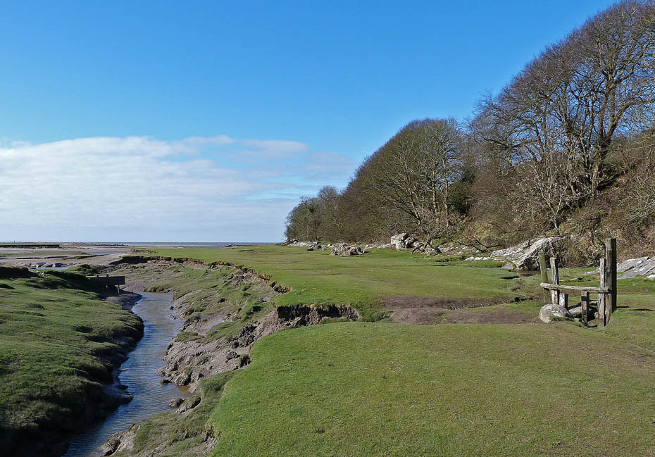
Having negotiated the stile at the end of the causeway it is simply a case of following the shoreline.
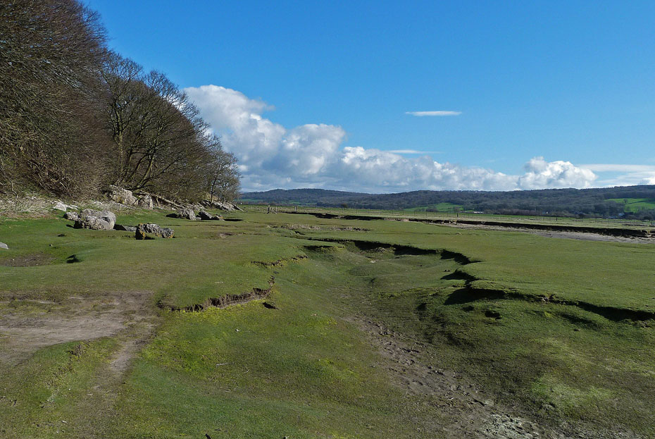
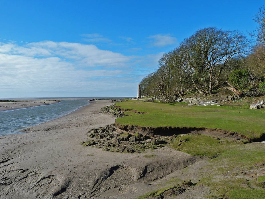
Soon there will be nothing to see of the wonderful acres of sea washed turf that we used to walk across here. "Experts" tell us that the salt marsh comes and goes in cycles. All I have ever seen in 50 years of messing about here is it going!!
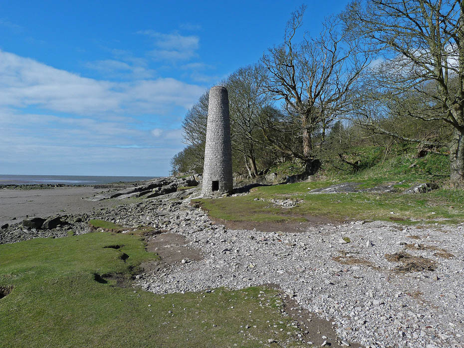
The old chimney on the shore said to be the remains of an old copper smelting works.
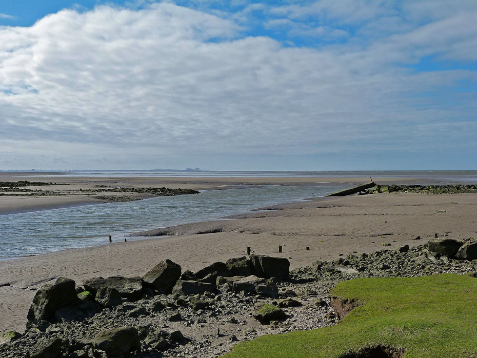
Looking down the bay towards home. There used to be a road of sorts across the gully but the gully got wider and wider and eventually the bridge over it collapsed.
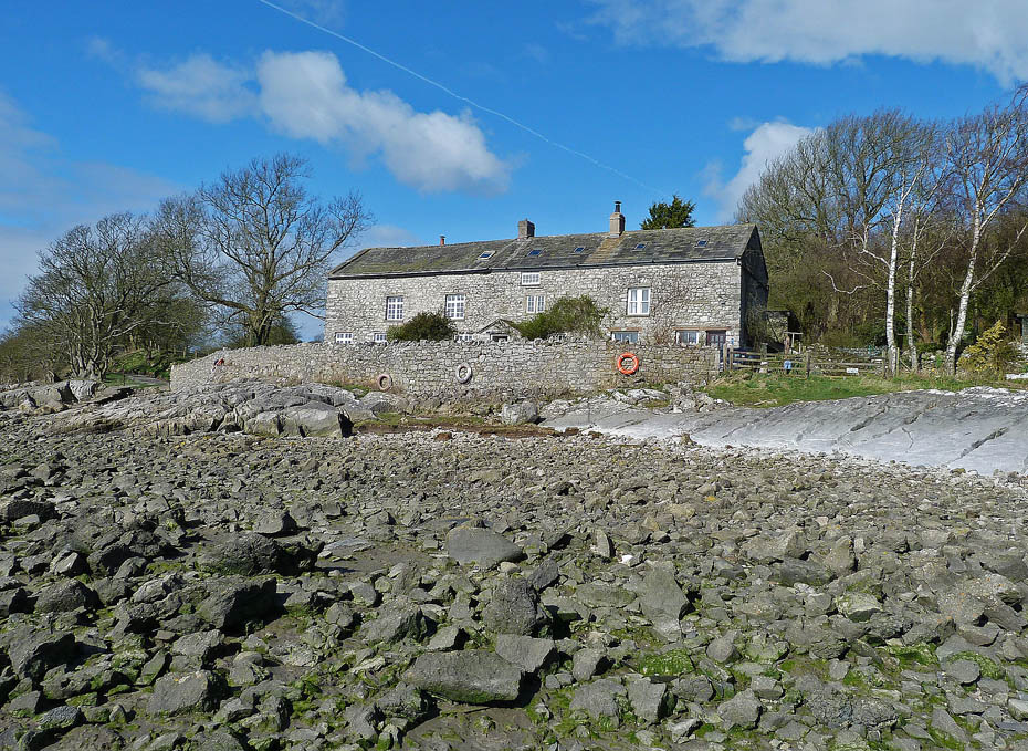
Brown's Houses (no relation)
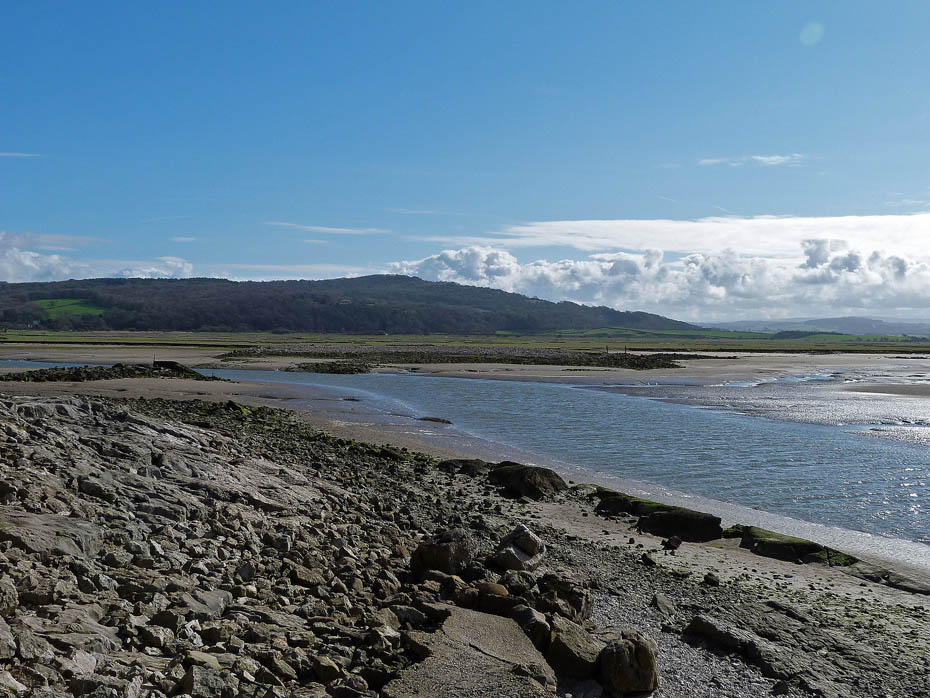
A look back towards Crag Foot and Warton Crag as we leave the shore. We have left the shore by walking up what remains of an old stone jetty which was built to facilitate the construction of the copper smelt mill.
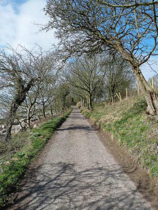
...to take the single track lane towards Silverdale...
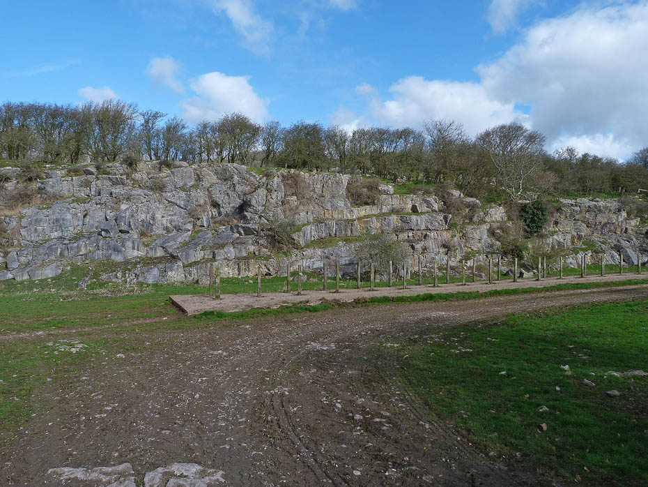
....passing by this old quarry on the right the stone from which was....
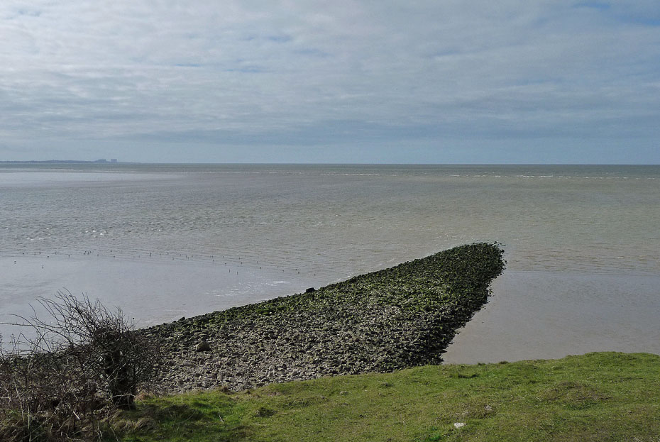
....used in the construction of this ruined stone embankment which runs a considerable distance into the bay. This is a relic of an over-ambitious land reclamation scheme of 1873. It was intended to reclaim the marshes between Jenny Brown’s Point and Hest Bank.
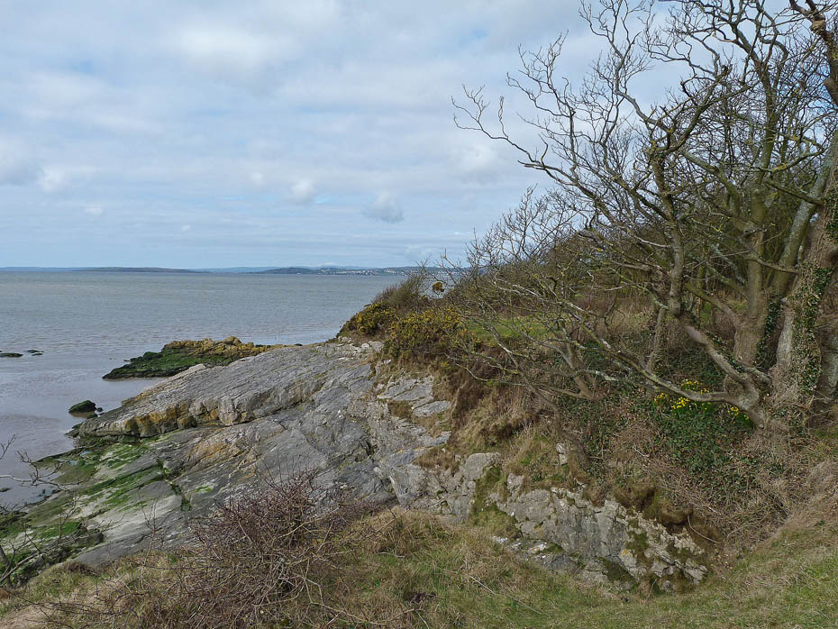
Just past the quarry we entered the National Trust's Jack Scout reserve with a fine view over to Humphrey Head.
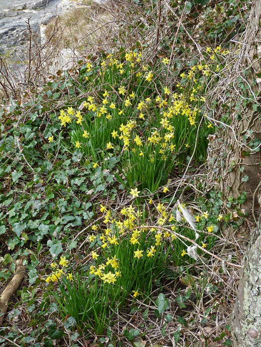
It wasn't until we moved off that we noticed these daffodils on the cliff face below us.
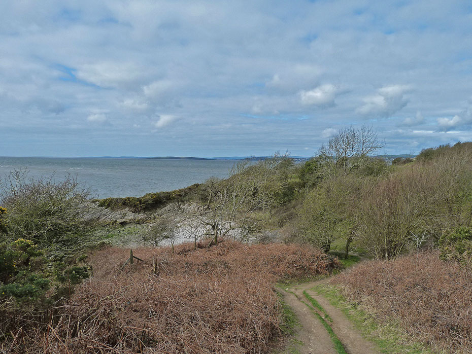
We carried on into Jack Scout staying near the cliff path.
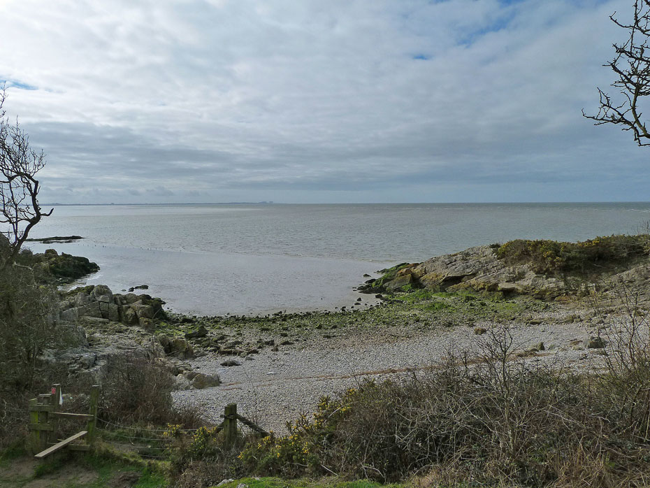
This little cove makes a lovely picnic spot but unfortunately like most tidal beaches gathers a lot of rubbish.
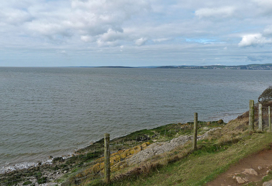
A lovely walk now along the perimeter of Jack Scout...
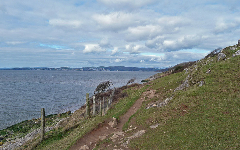
....with views across to Grange and Hampsfell...
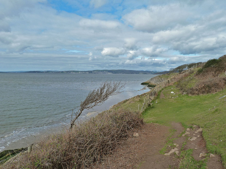
...and distant Coniston Fells.
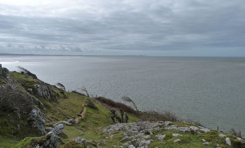
A look back down Morecambe Bay as we leave the cliff path...
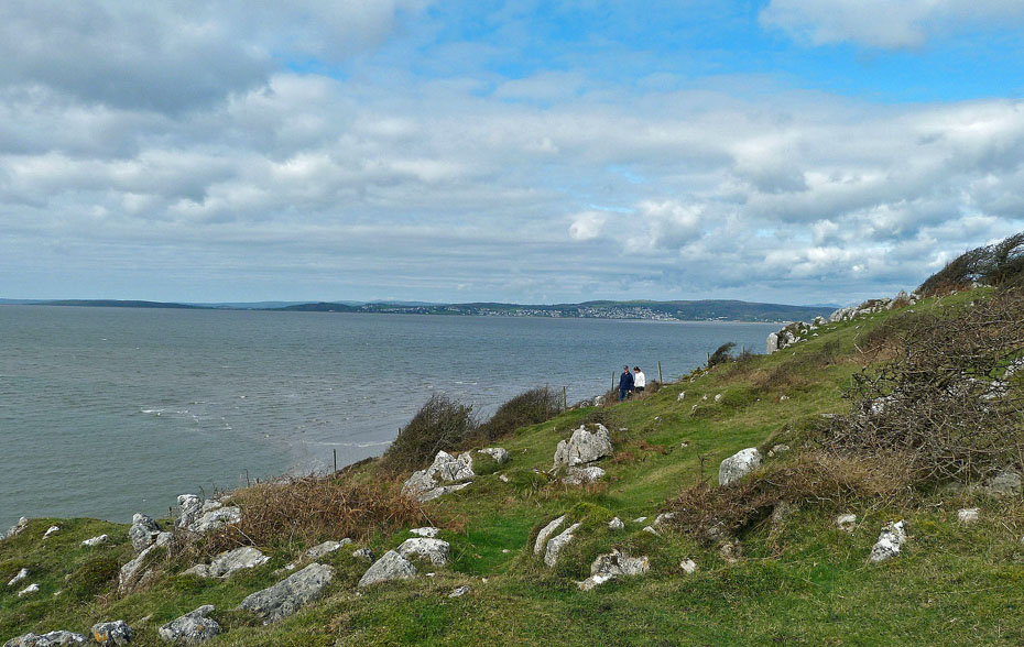
....to make our way up to...
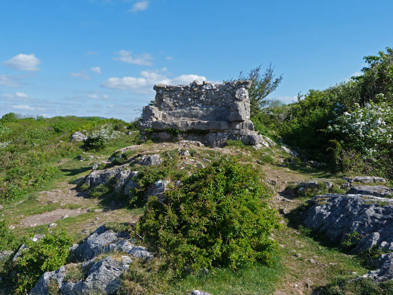
....the Giant's Seat...this is an old picture from a previous visit as it was occupied on this occasion.
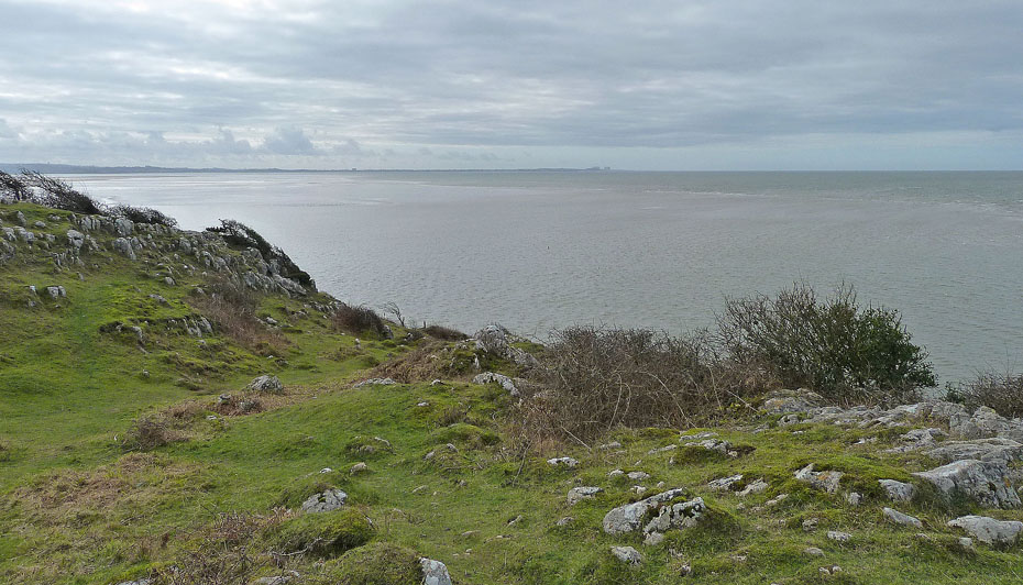
It is a wonderful place to linger and admire the beautiful but very dangerous bay and its sands.
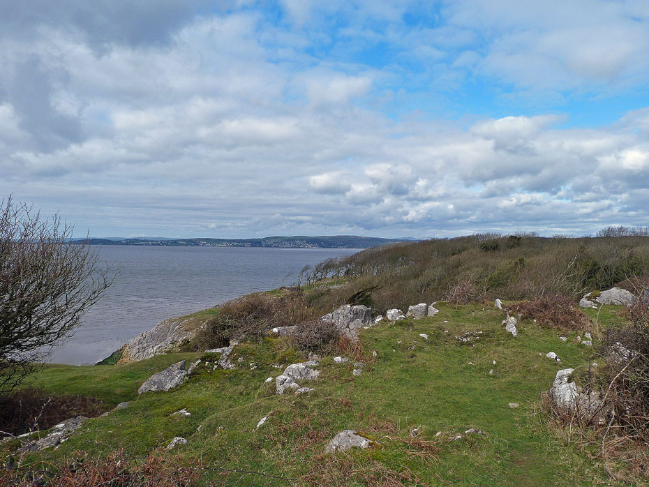
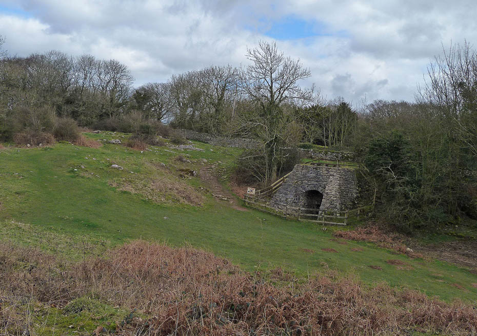
However time presses on and so do we to eventually end up at the restored Lime Kiln where we leave the reserve to rejoin the lane.
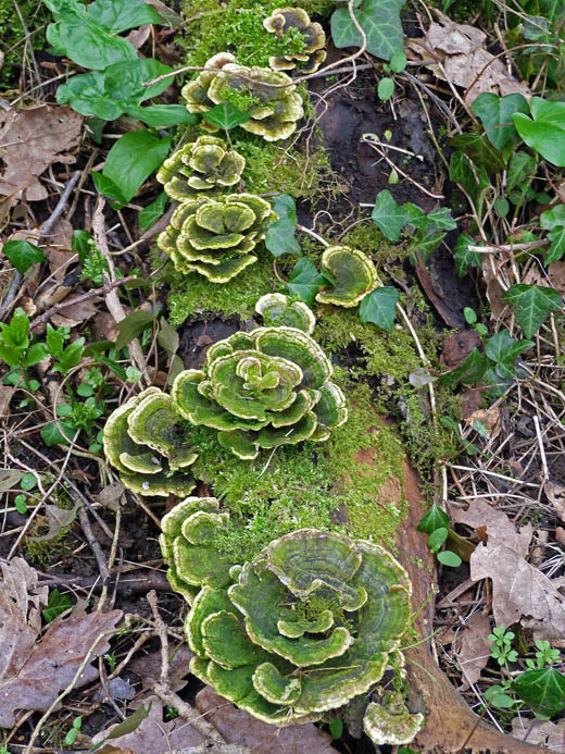
Edith noticed this at the side of the lane. After posting a picture on Facebook it is apparently Trametes Versicolor.
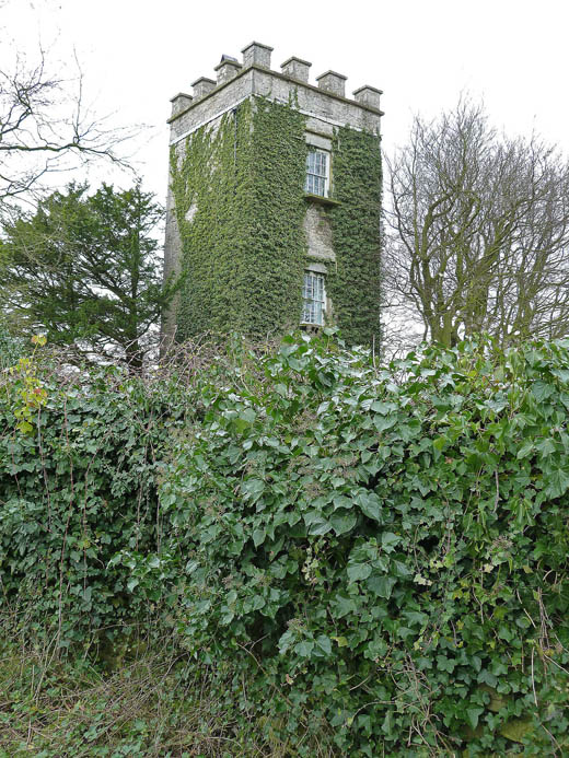
Lindeth Tower....The Victorian novelist Elizabeth Gaskell (1810–1865) regularly holidayed in Silverdale and is said to have written some of her works in Lindeth Tower.
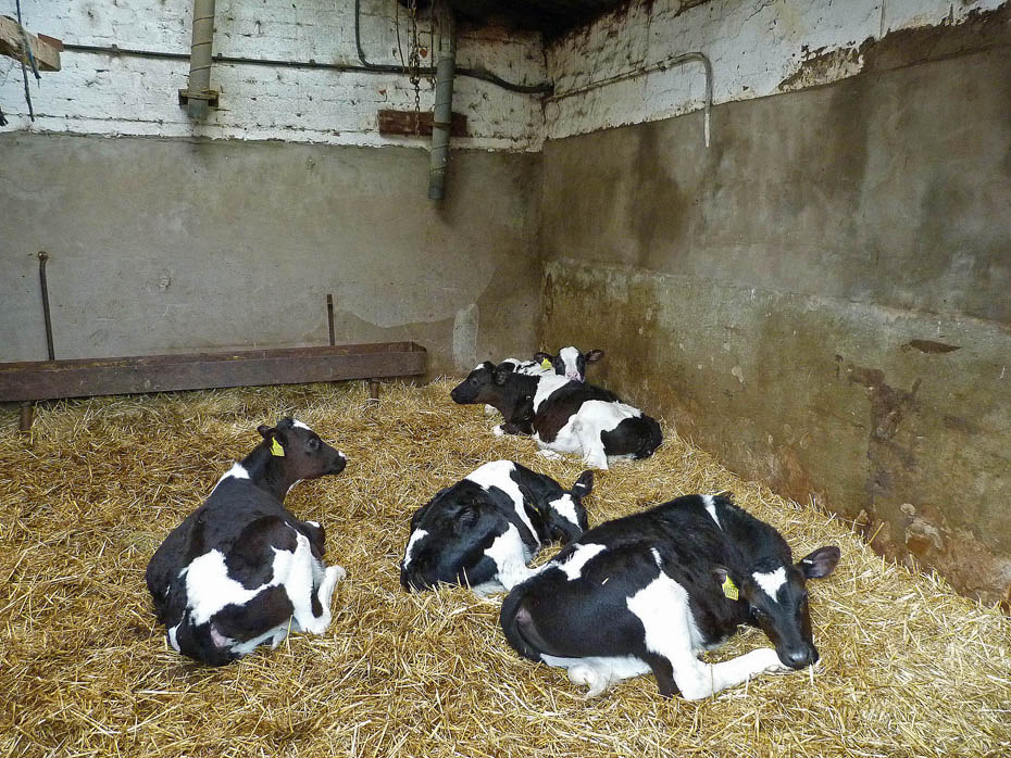
Calves in the farm outbuilding. Sadly in our need for more & more milk it means that calves can be removed from there mothers as young as three days old.
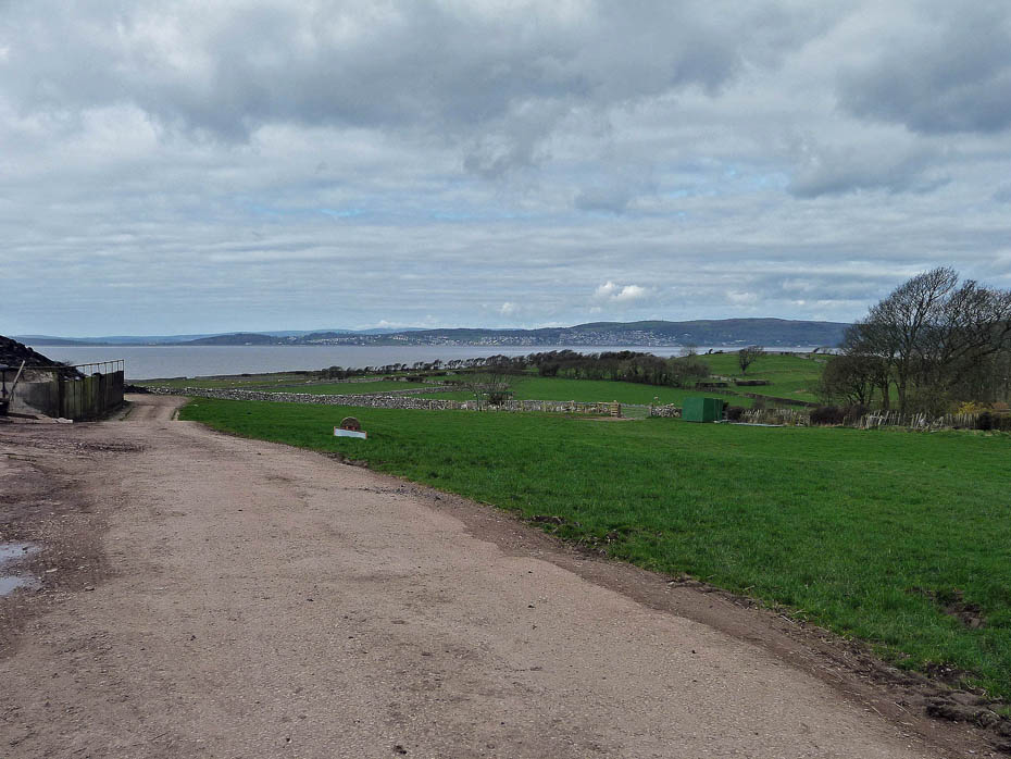
A look over to Grange from Gibraltar.
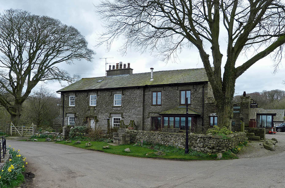
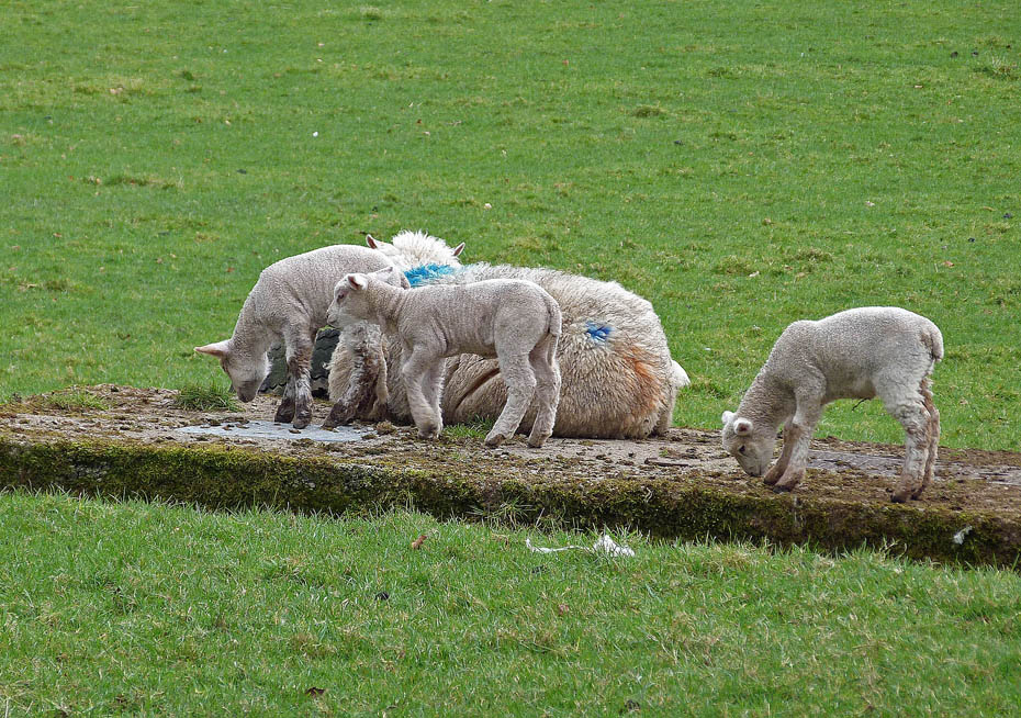
The lambs were playing in the fields as we made our way to Woodwell...
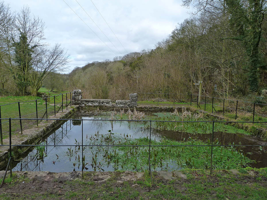
....where the pond is fed from a spring at the base of the cliffs to the right.
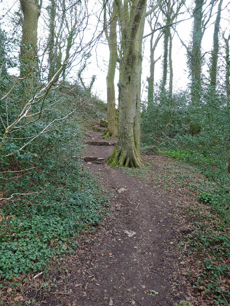
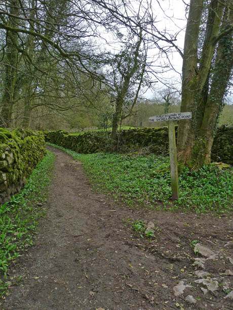
From Woodwell we made our way to the the road for a short walk to the entrance of Fleagarth Wood ....
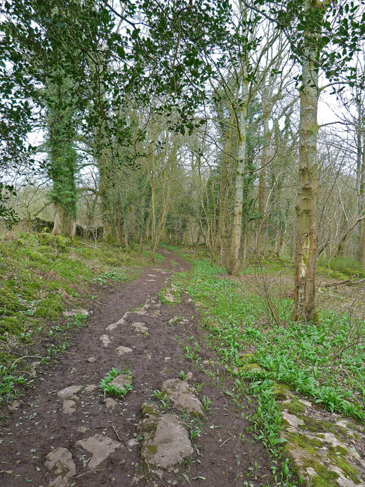
...where the track through the garlic filled woods would lead us back to the embankment.
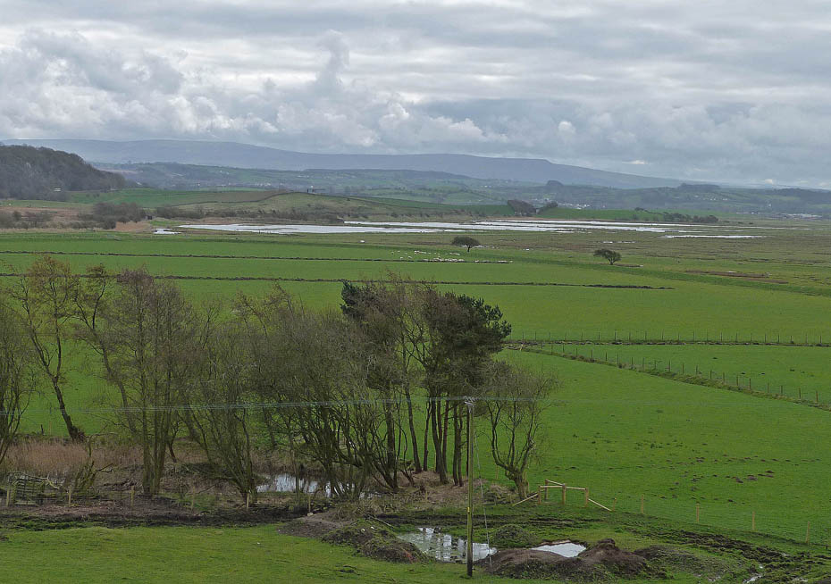
Looking over the shoreside pools of Leighton Moss towards Clougha Pike and Ward's Stone.
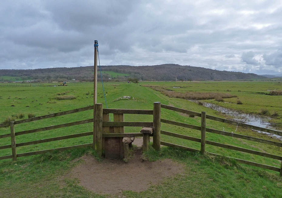
Back at the embankment and only a short way back.
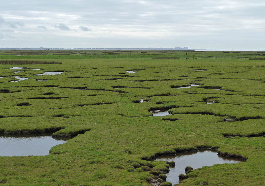
A look towards home.
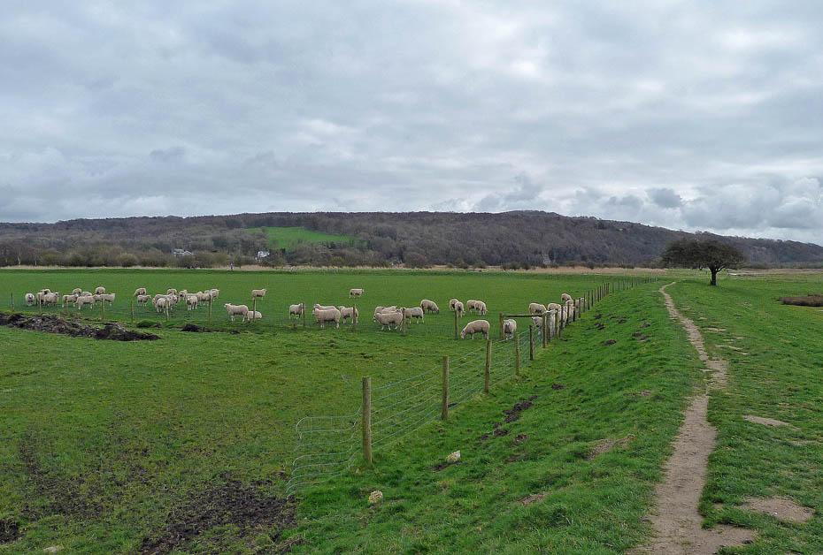
Warton Crag ahead.
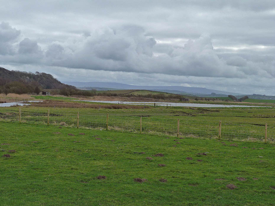
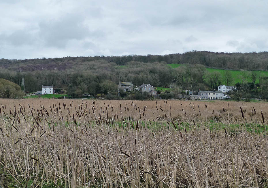
And finally....nearly back at Crag Foot.
Do you have Facebook?.....The Wainwright-Wanderings website as its own Fan Page on Facebook where additional pictures are posted and information given about recent walks and updates to the website. Please feel free to take a look at the page and maybe even "LIKE" it to keep in touch. The link to the Page is given below.
Wainwright-Wanderings Facebook Fan Page
Next Walk: 22nd March 2012 - Lake District - A Great & Little Langdale walkabout
Last Walk: 18th March 2012 - Arnside & Silverdale AONB - Arnside Knott from Arnside.
We hope you have enjoyed viewing this walk. If you have any comments please sign our Guestbook or E_Mail us.