| Area: | NW Lancashire | Ascent: | 80feet |
| Walk No: | 658 | Time: | 2hours |
| Date: | 25th March 2012 | Parking: | Carr Lane end at Middleton Sands |
| Distance: | 4.00miles | Weather: | Fine & Sunny. Warm & Hazy. |
For those of you that are thinking of going onto the hills I would strongly recommend that you read the advice given by the Mountain Rescue organisation of England and Wales. To read this advice, which will open in a new page please click HERE. If you would like to make a donation to the Mountain Rescue organisation which is purely voluntary please click HERE. Please make the time to read the advice page.
---------------------------------------------------------------
With no major problems other than an aching neck on our walk yesterday and the warm sunny weather continuing we decided on this local walk because we didn't want to travel far and also we were due to meet up with the family later.
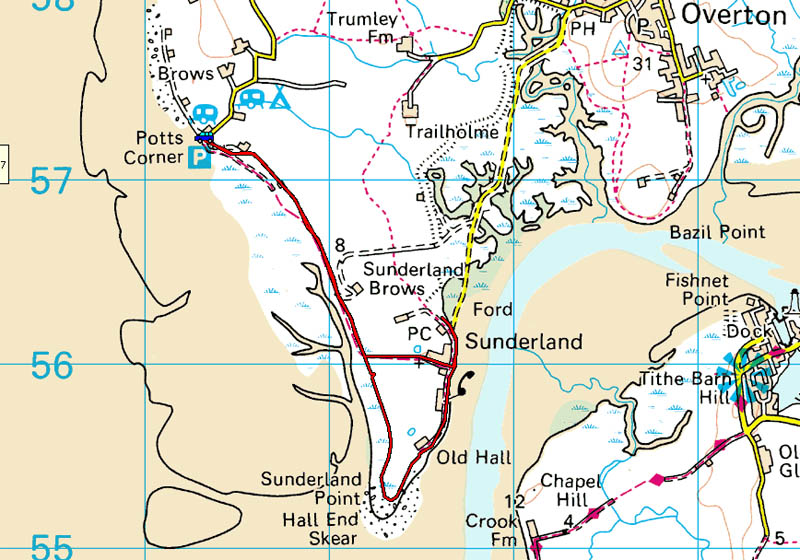
Route
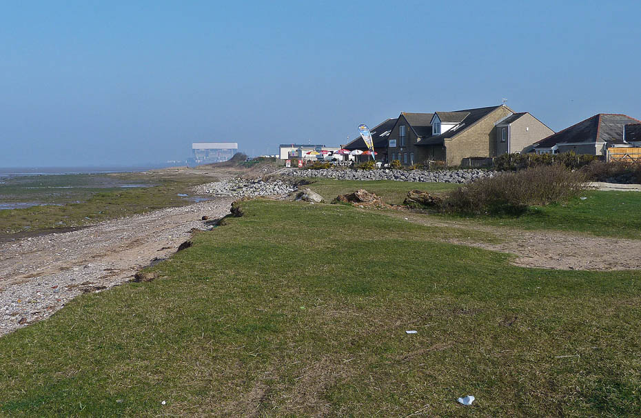
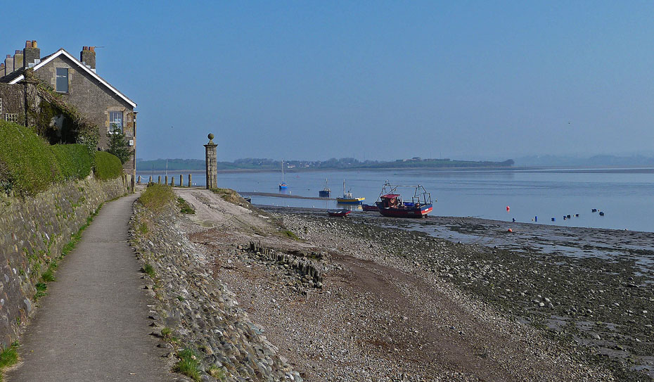
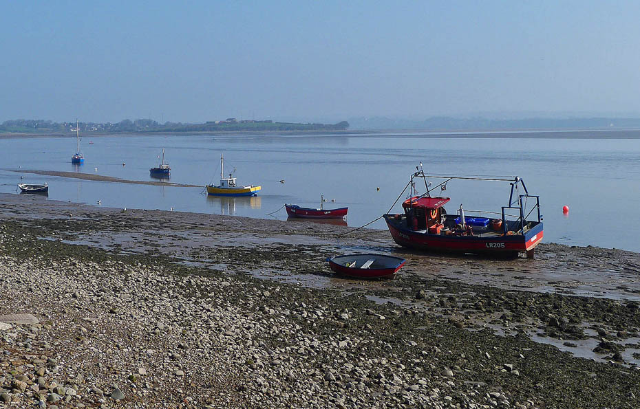
With the warm and sunny weather continuing it is very hazy again and distance views are non-existent. We left the car on the shore at the end of Carr Lane at Middleton.
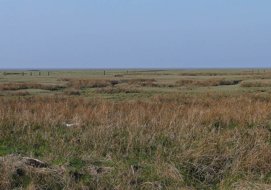
A look towards the Fylde coast reveals nothing. I believe the upright posts on the shore are a legacy of the coastal defences from the last war.
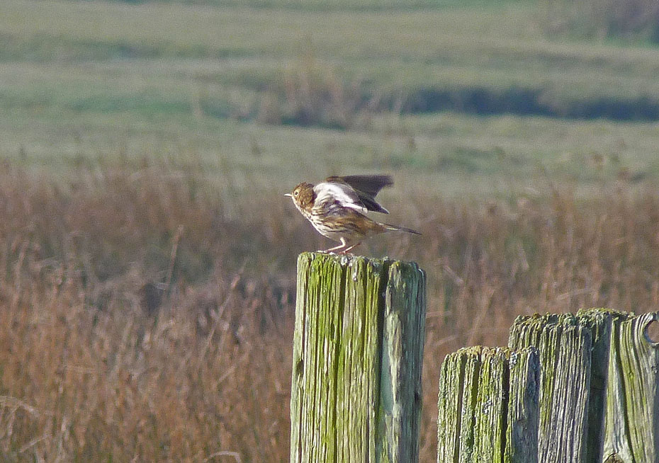
Ready for take off!
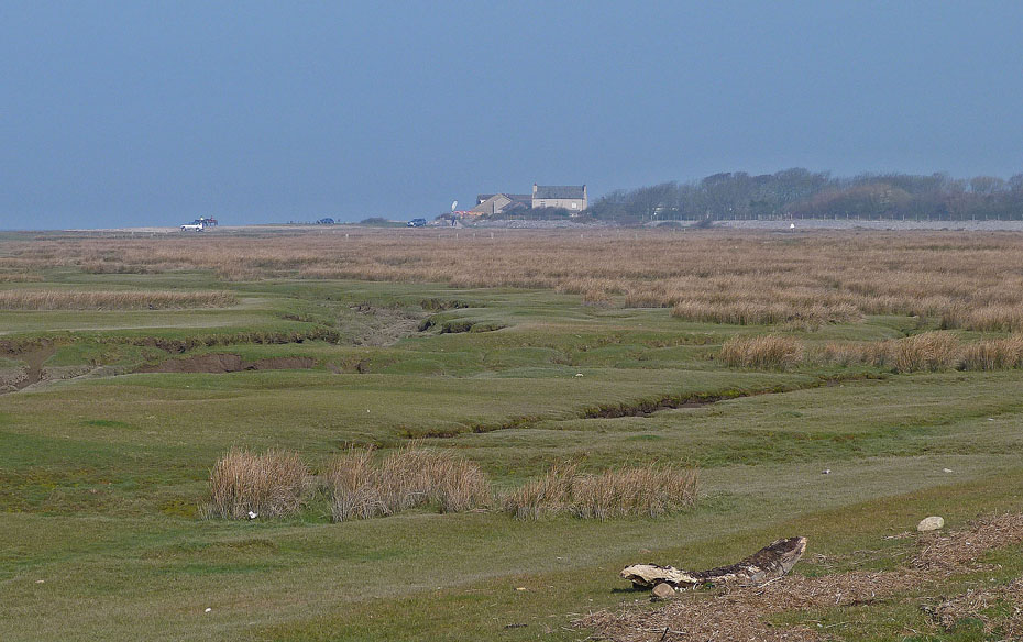
A look back as we make our way along the shore.
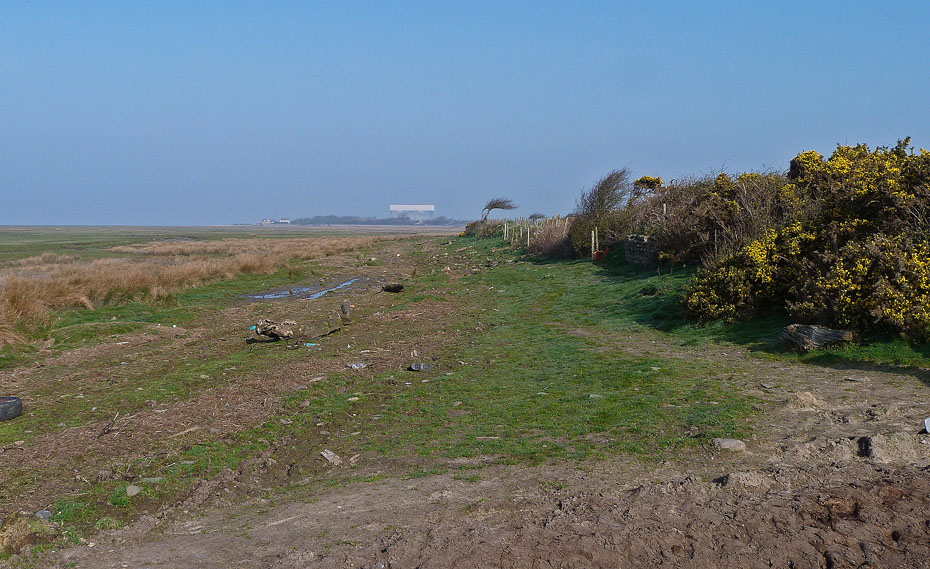
With not a lot to see it wasn't long before we reached The Lane which runs from the riverside to here.
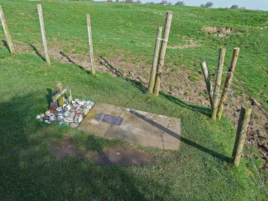
Only a few yards away the final resting place of Samboo (more commonly Sambo) a young West Indian slave who died here.
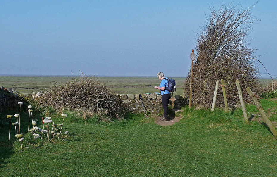
Edith checks the visitor book.
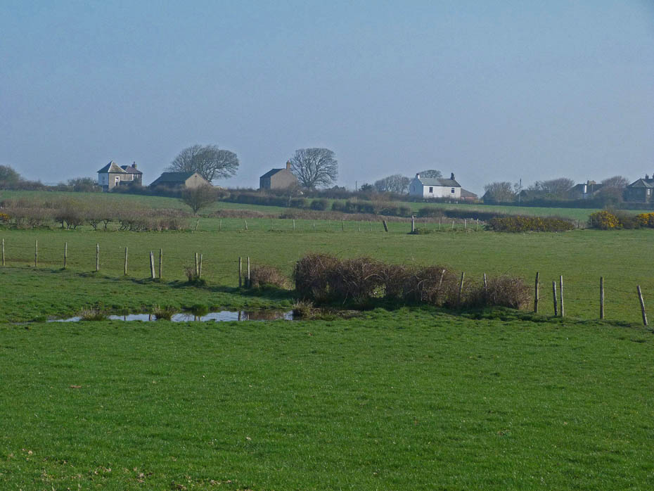
Looking across to the river side as we make our way towards the point.
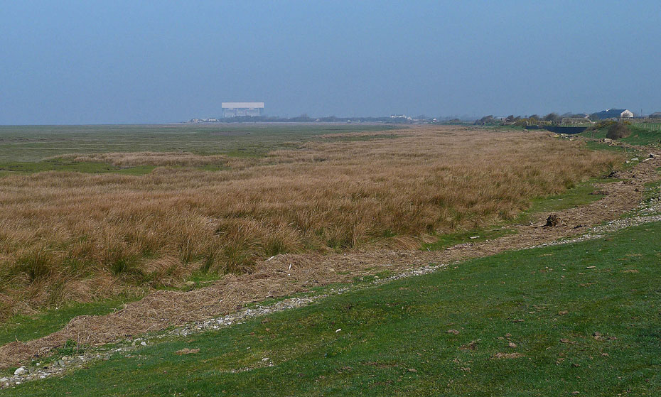
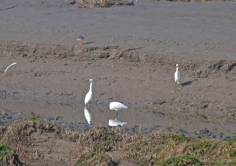
We had seen around a dozen or so Egrets as we walked along but all were too far away for a picture. As we approached the point we saw these about 80 -100 yards and on a maximum zoom I was able to get this picture.
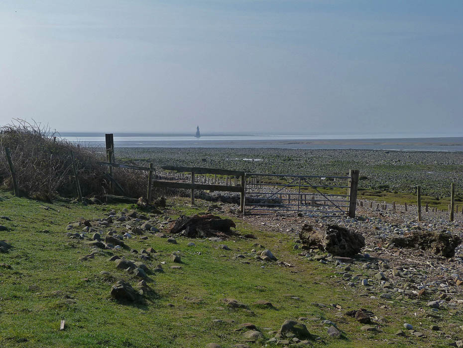
Plover Scar Lighthouse ahead as we start to round the point.
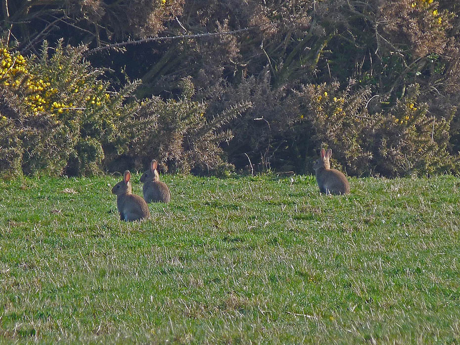
To our left in the fields lots of bunnies
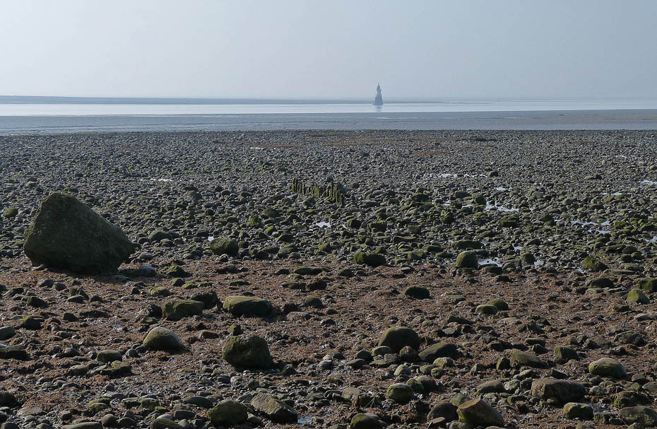
..
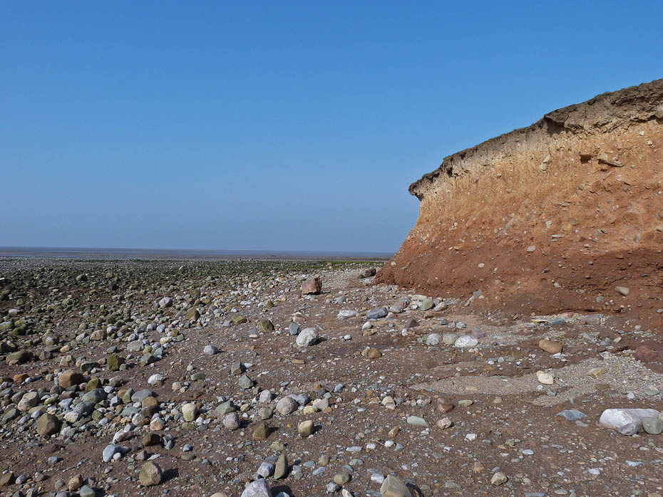
Sunderland Point erosion.
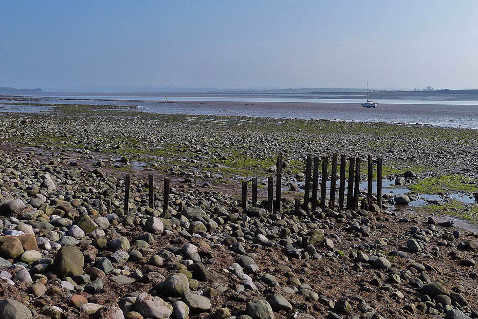
We are now on the riverside of the point, Morecambe Bay as been replaced by the estuary of the River Lune.
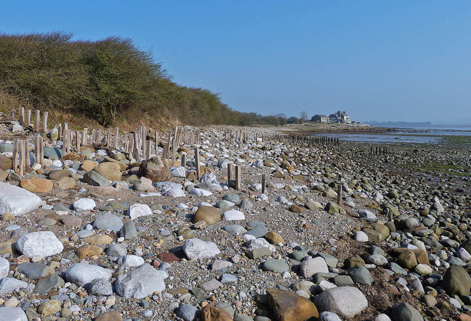
Our route alongside the river towards Sunderland Hall.
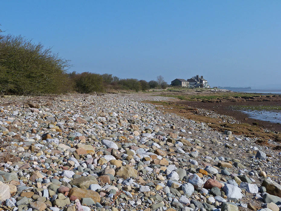
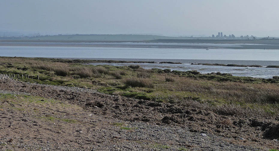
Looking across what at first glance seems a very peaceful River Lune...
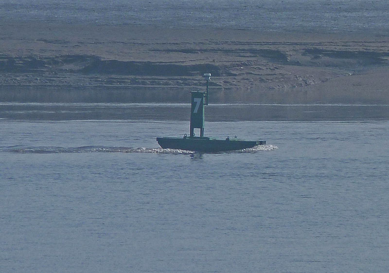
....however a close up of one of the bouys tells a different story. The tide is on the way in and it flowing very fast and hard.
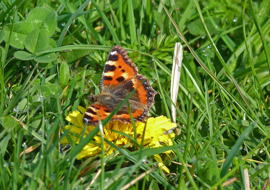
A Small Tortoiseshell enjoys the sun.
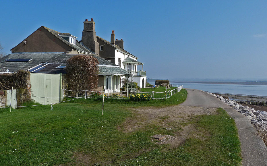
Sunderland Hall.
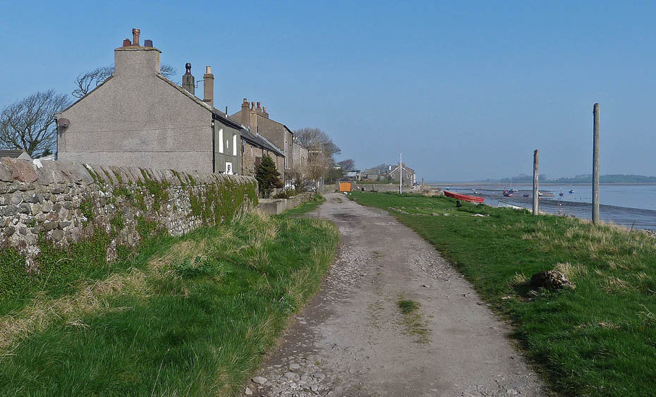
Approaching Second Terrace.
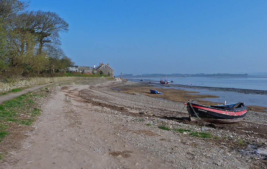
Looking across to First Terrace.
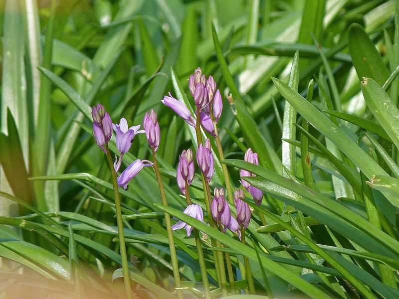
Still only March but the bluebells are on the way.
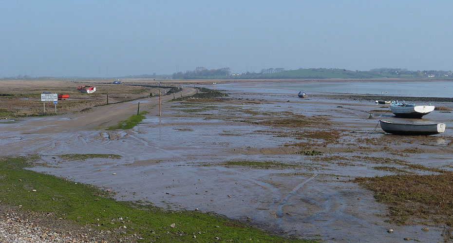
Looking along the tidal road towards Overton. It won't be long before it is under water.
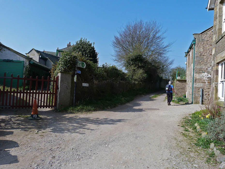
We made our way back to The Lane to return to the shore.
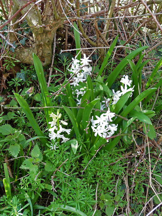
Hedgerow Hyacinths.
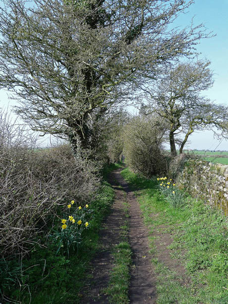
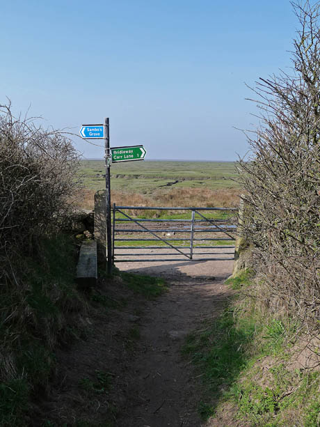
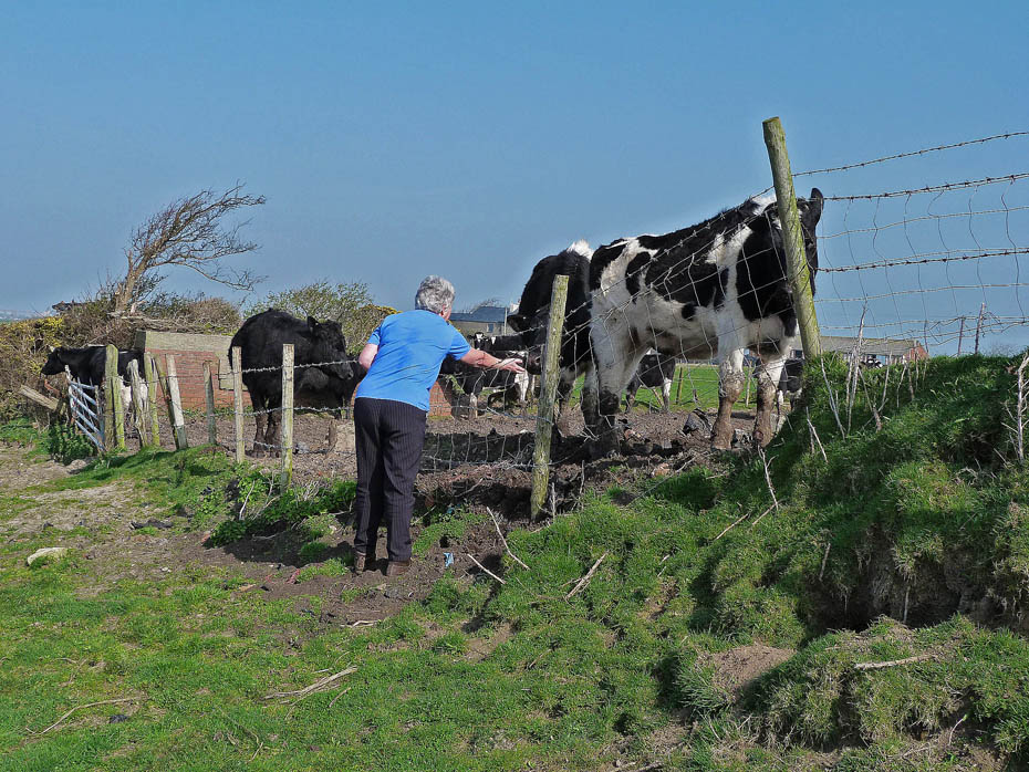
Back at the shore and Edith tries some locals with her carrots. However unlike the Highland cattle at Arnside these could not be tempted.
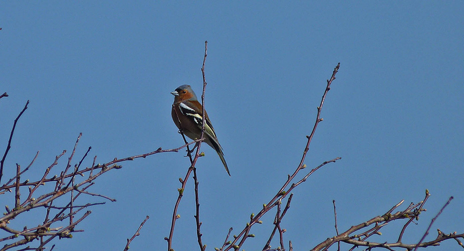
Chirpy chirpy tweet tweet!
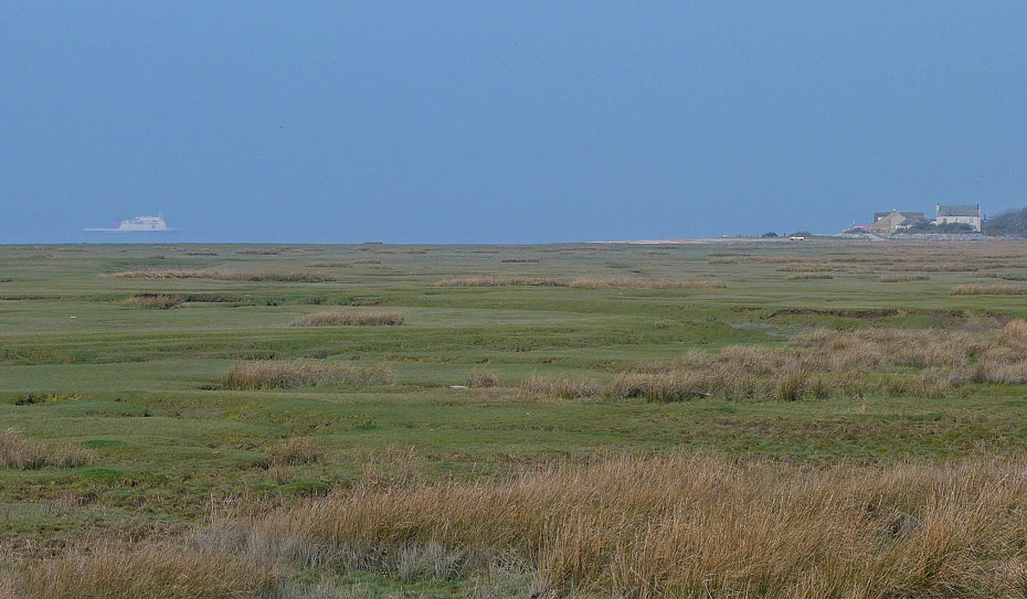
The Isle of Man ferry appears out of the haze on its way to Heysham Harbour.
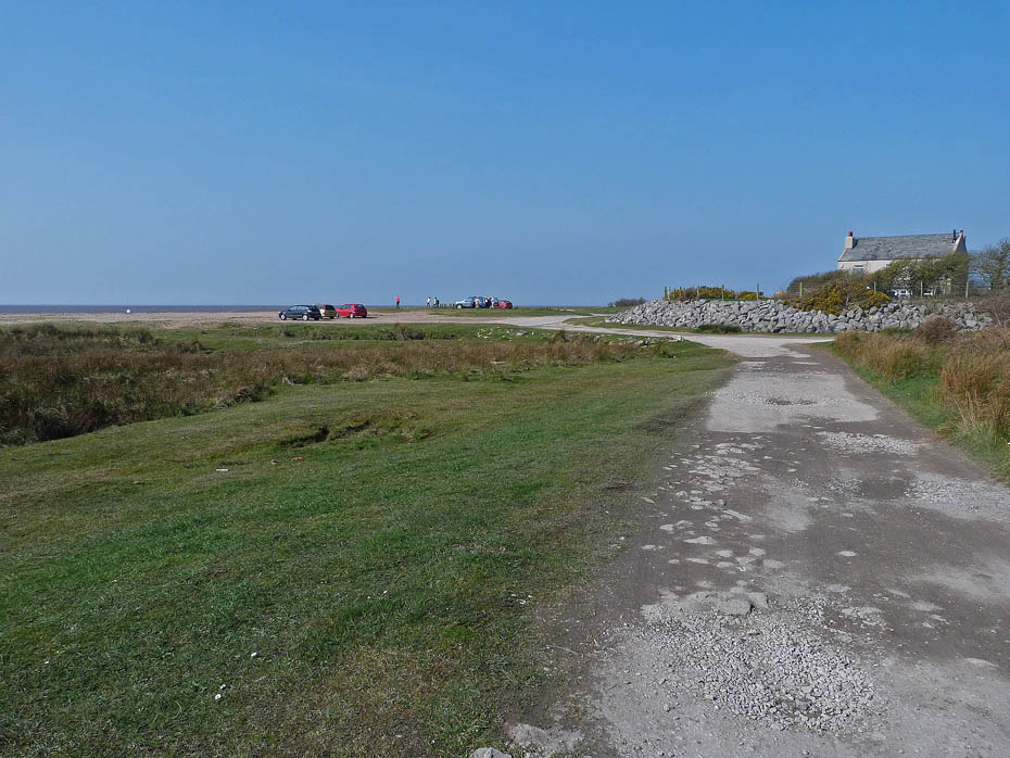
Almost back...
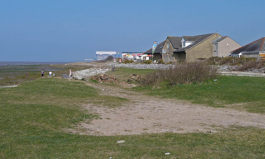
....and just time for a cuppa and cake before we leave.
Do you have Facebook?.....The Wainwright-Wanderings website as its own Fan Page on Facebook where additional pictures are posted and information given about recent walks and updates to the website. Please feel free to take a look at the page and maybe even "LIKE" it to keep in touch. The link to the Page is given below.
Wainwright-Wanderings Facebook Fan Page
Next Walk: 26th March 2012 - NW Lancashire - Brockholes Nature Reserve.
Last Walk: 24th March 2012 - NW Lancashire - Shore and Canal at Hest Bank.
We hope you have enjoyed viewing this walk. If you have any comments please sign our Guestbook or E_Mail us.