
| Area: | NW Lancashire | Ascent: | 150feet |
| Walk No: | 659 | Time: | 2hours 30minutes |
| Date: | 26th March 2012 | Parking: | Brockholes Nature Reserve |
| Distance: | 4.50miles | Weather: | Fine, Sunny, Warm. |
For those of you that are thinking of going onto the hills I would strongly recommend that you read the advice given by the Mountain Rescue organisation of England and Wales. To read this advice, which will open in a new page please click HERE. If you would like to make a donation to the Mountain Rescue organisation which is purely voluntary please click HERE. Please make the time to read the advice page.
---------------------------------------------------------------
I'm still under the boss-lady's instructions to avoid any uphill stuff at all whilst the warm weather continues so I was at a bit of a loss as to where to go today. The previous evening I had been browsing on the internet and came across this location so we decided to give it a look-see.
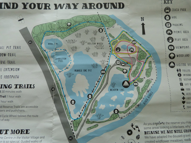
Our route....the only map I have for this area still shows it as a quarry so I've used the info brochure and marked our route on it with little arrows.
Brockholes is a new kind of Nature Reserve, an unresrved reserve owned and managed by The Wildlife Trust for Lancashire, Manchester and North Merseyside. For more information please follow the link....HERE Entry to the site is free but there is a charge for parking.
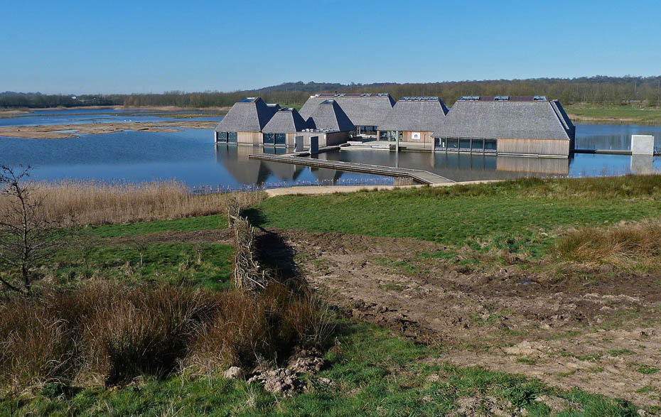
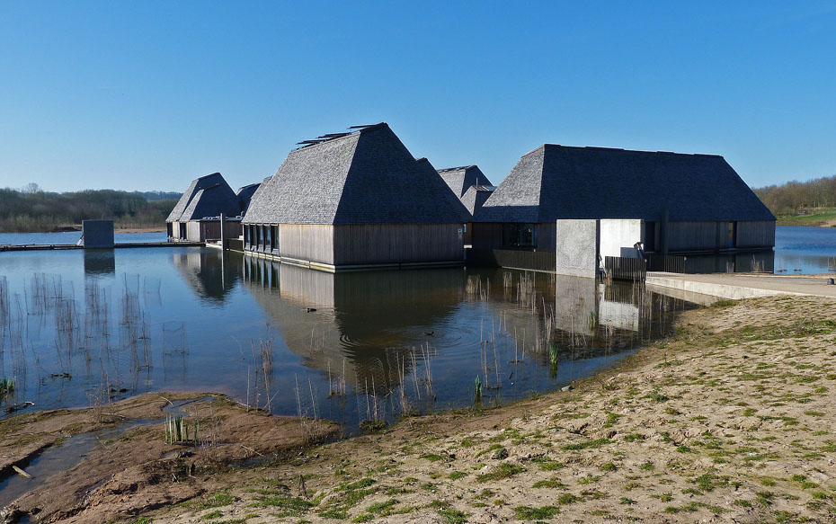
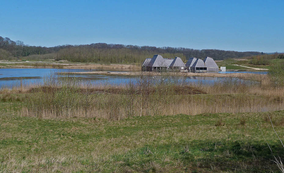
After parking the car and visiting the floating Visitor Village for a leaflet we set off for a walk, first down to the....
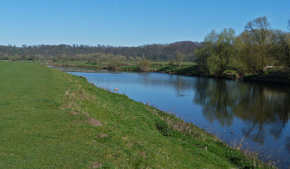
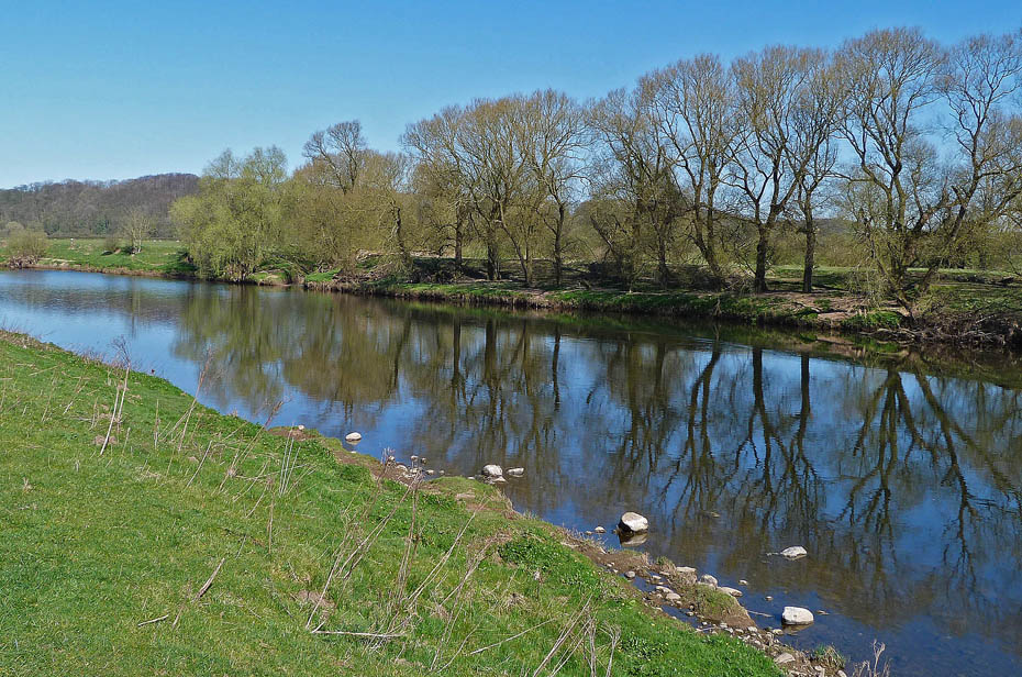
...River Ribble which we followed upstream.
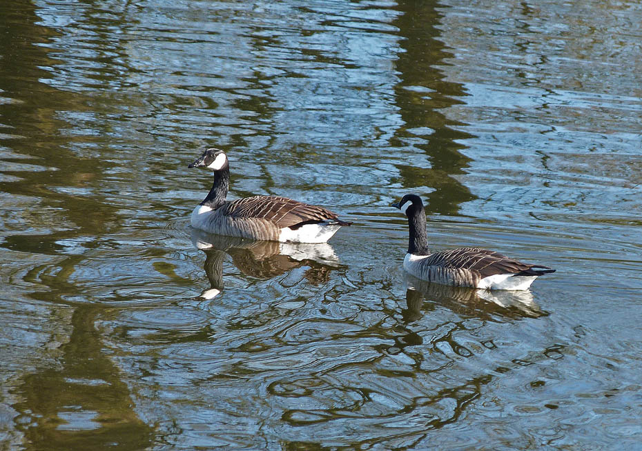
There were plenty of Canada Geese about, they've probably heard about the proposed cull (now postponed) on Windermere.
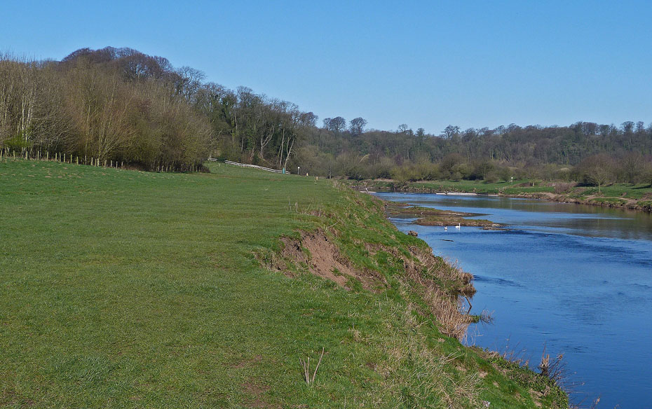
We followed the river upstream towards the weir...
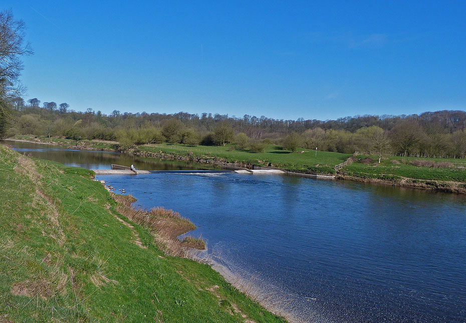
...where we left the river to join one of the reserves tracks through....
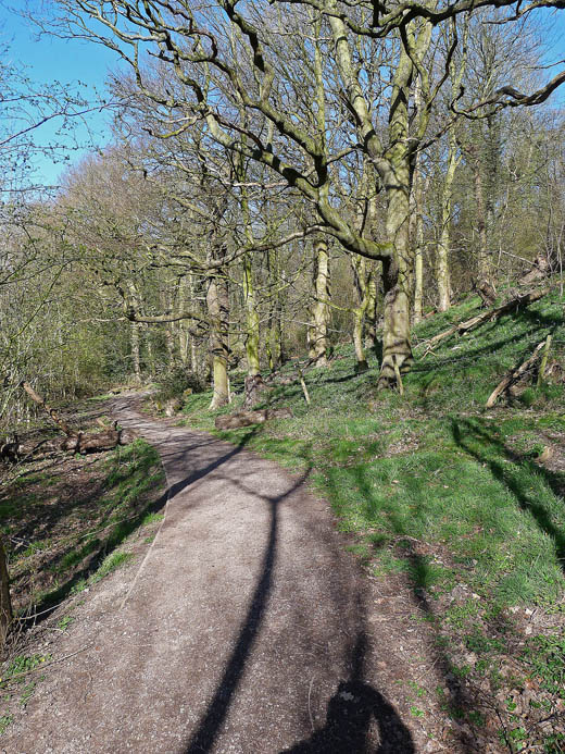
...the delightful Red Scar Wood.
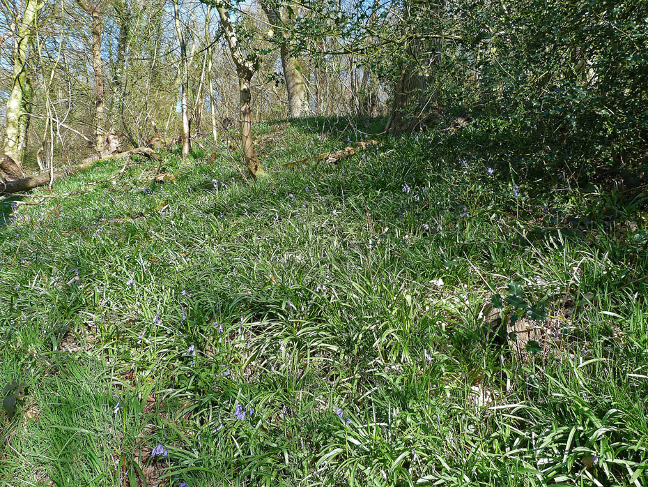
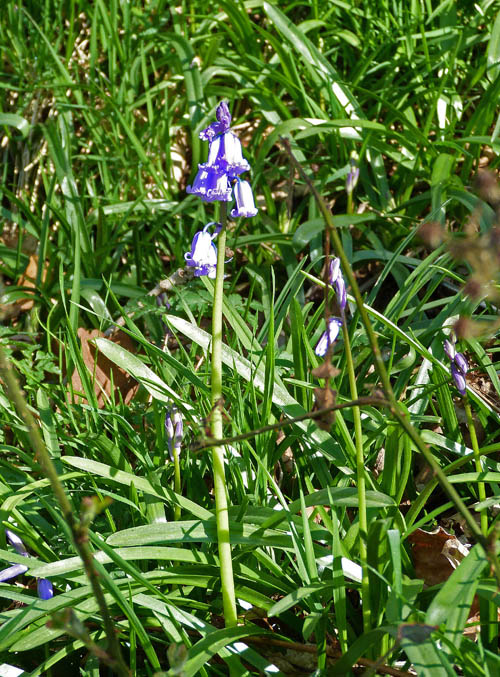
With the continuing warm and sunny weather the bluebells are shooting up.
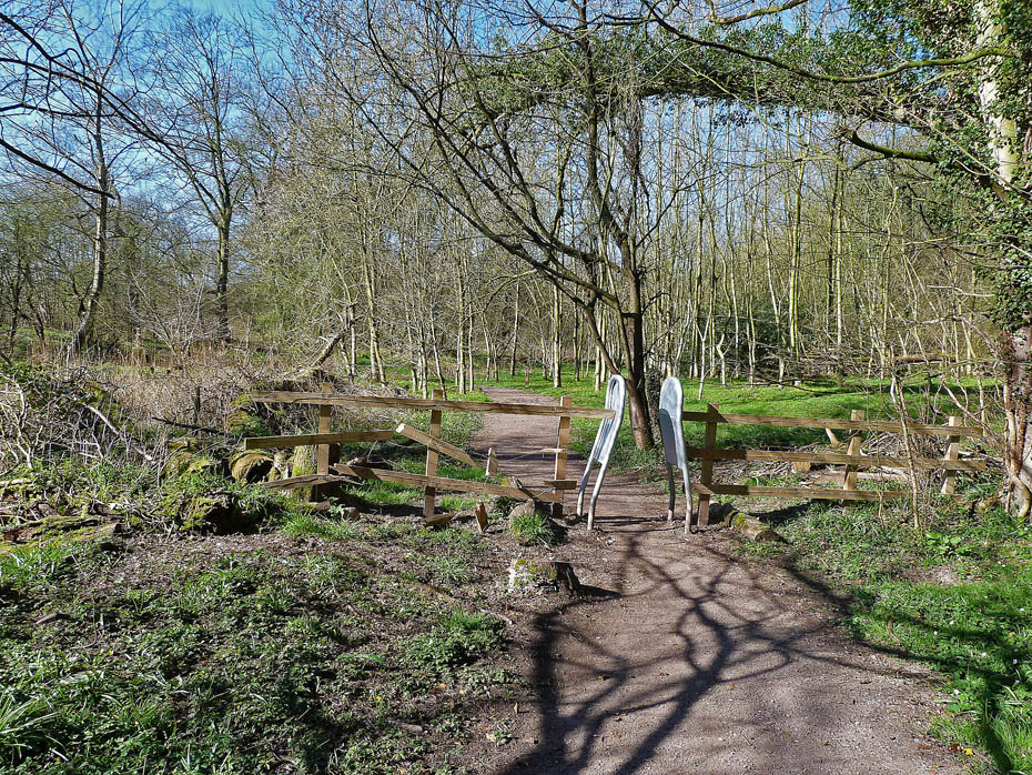
We followed the path through the woods.
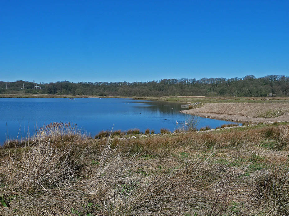
To emerge into the open on heathland near Nook Pool.
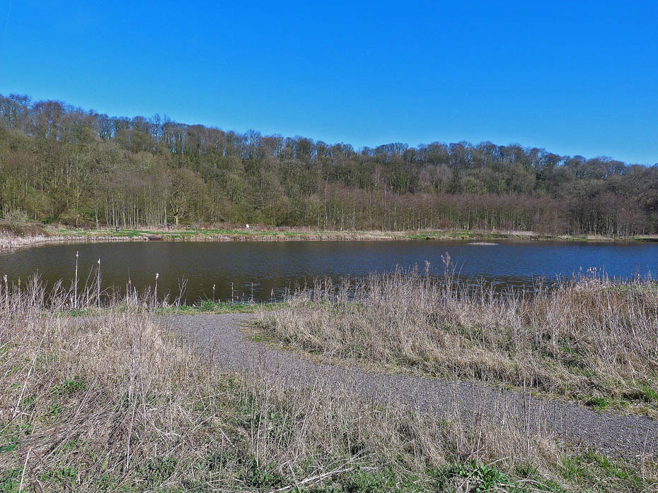
Looking across Nook Pool to Red Scar Wood as we walk between Nook Pool and Ribbleton Pool.
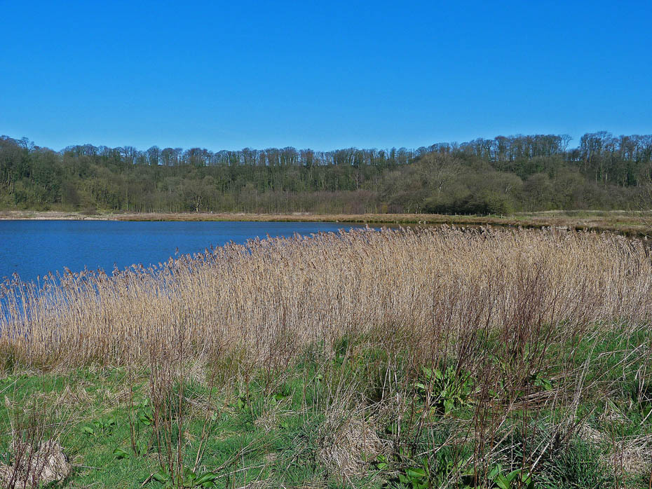
We are now at the hide at Number One Pit...
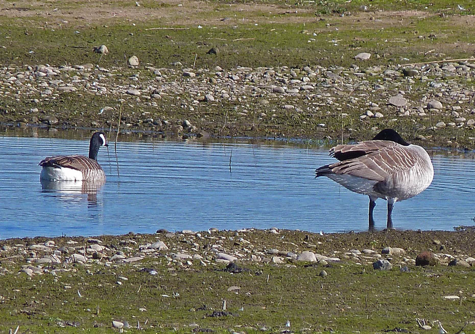
....where with the aid of the zoom we could see Canada Geese...
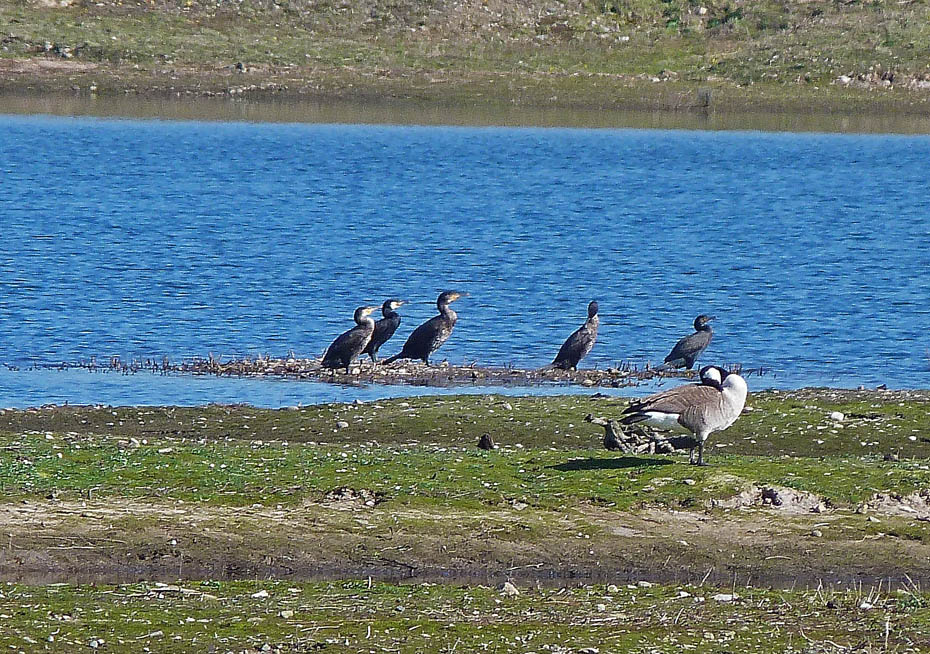
and Cormorants.
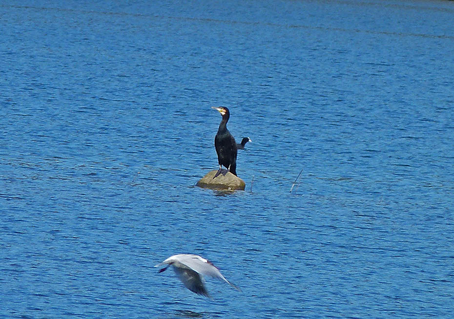
Always graceful....unless on dry land.
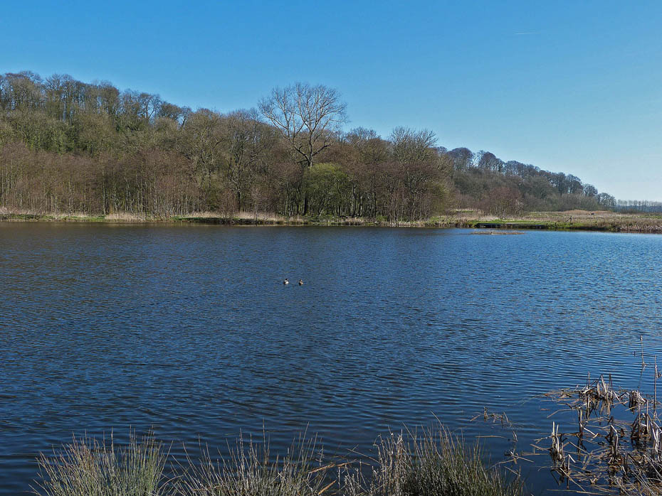
We walked back to towards the Visitor Village to take the path again to the River Ribble but this time...
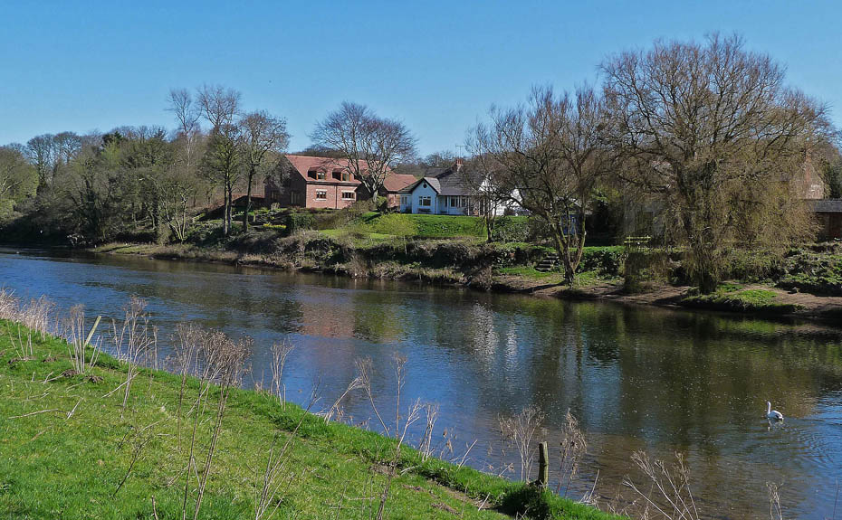
...we followed it downstream...
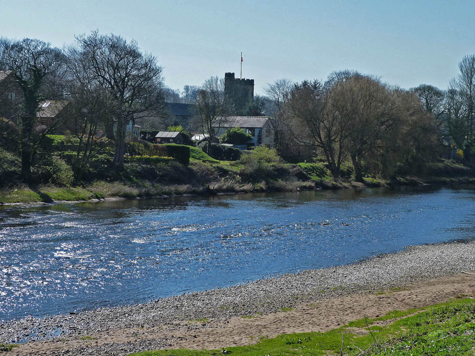
....with the church near Samlesbury on the other side.
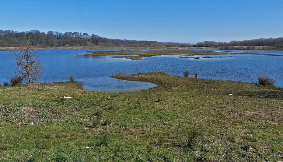
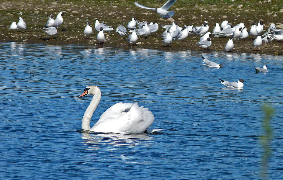
Looking over Meadow Lake from the hide. From here we ....
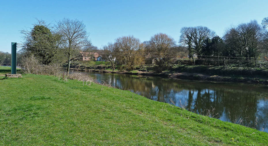
...returned along the river back to the car.
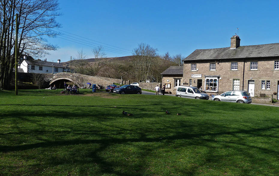
With time to spare we decided to return home via Clitheroe and the Trough of Bowland stopping of at Dunsop Bridge for a bite to eat.
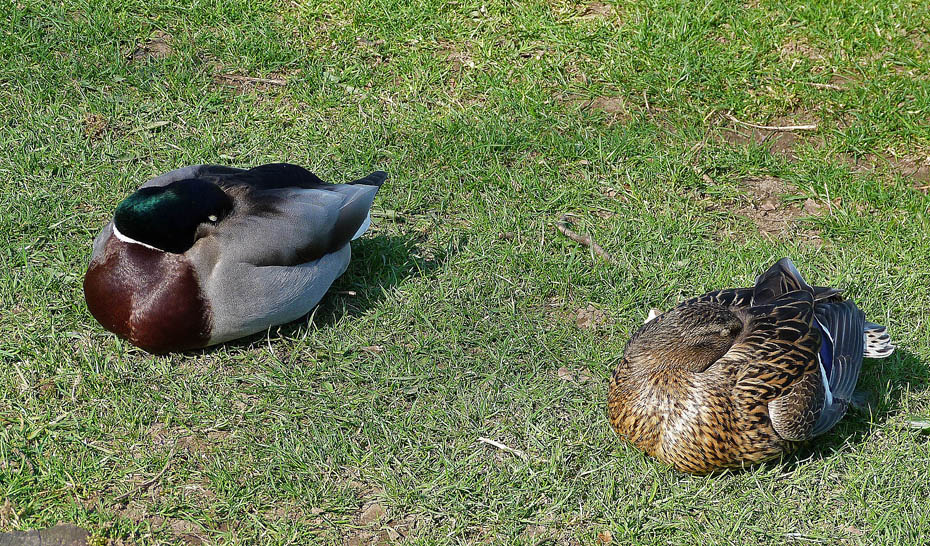
The locals were taking five when we got there...
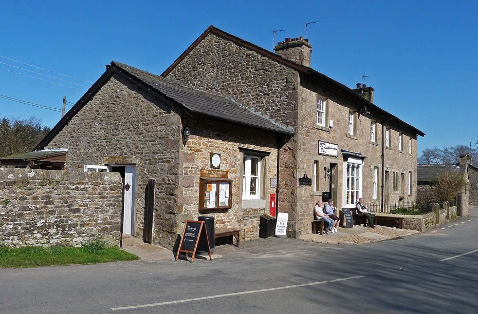
So we made our way to Puddleducks for a brew and cake. Dunsop Bridge incidentally lays claim along with Haltwhistle to be the geographic centre of Great Britain.
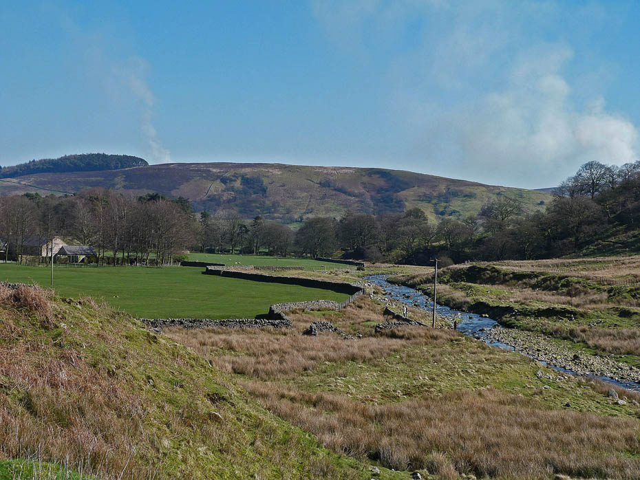
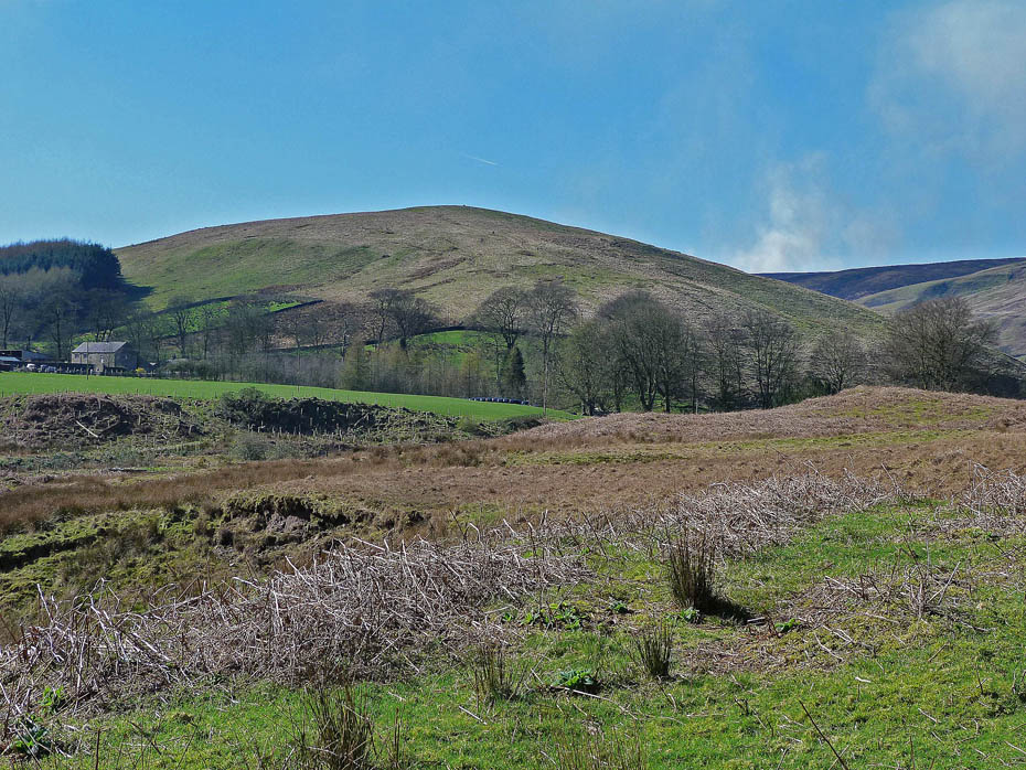
A look back as we make our way towards the Trough.
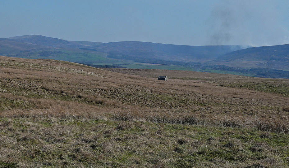
Hazy views towards I think Brennand Fell from the Jubilee Tower.
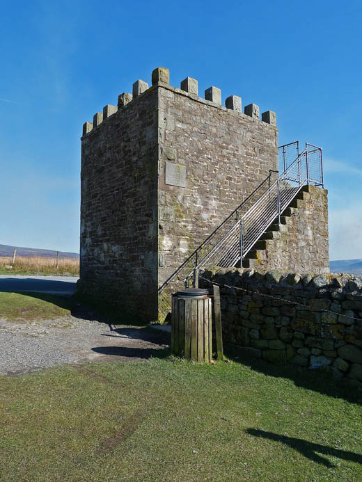
Jubilee Tower..
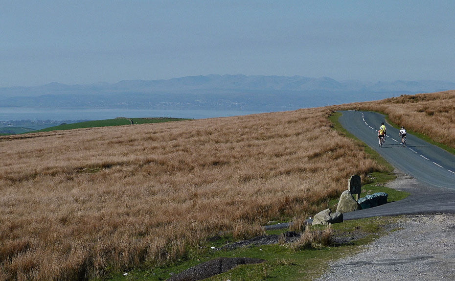
And finally...some familiar if hazy places across Morecambe Bay from the Tower.
Do you have Facebook?.....The Wainwright-Wanderings website as its own Fan Page on Facebook where additional pictures are posted and information given about recent walks and updates to the website. Please feel free to take a look at the page and maybe even "LIKE" it to keep in touch. The link to the Page is given below.
Wainwright-Wanderings Facebook Fan Page
Next Walk: 27th March 2012 - Arnside & Silverdale AONB - Leighton Moss and Hall circular.
Last Walk: 25th March 2012 - NW Lancashire - Sunderland Point & Sambo's Grave.
We hope you have enjoyed viewing this walk. If you have any comments please sign our Guestbook or E_Mail us.
